Elevation of Byron, ME, USA
Location: United States > Maine > Oxford County >
Longitude: -70.630624
Latitude: 44.7220034
Elevation: 274m / 899feet
Barometric Pressure: 98KPa
Elevation Map:
Satellite Map:
Related Photos:

Tumbledown Pond
raw decor

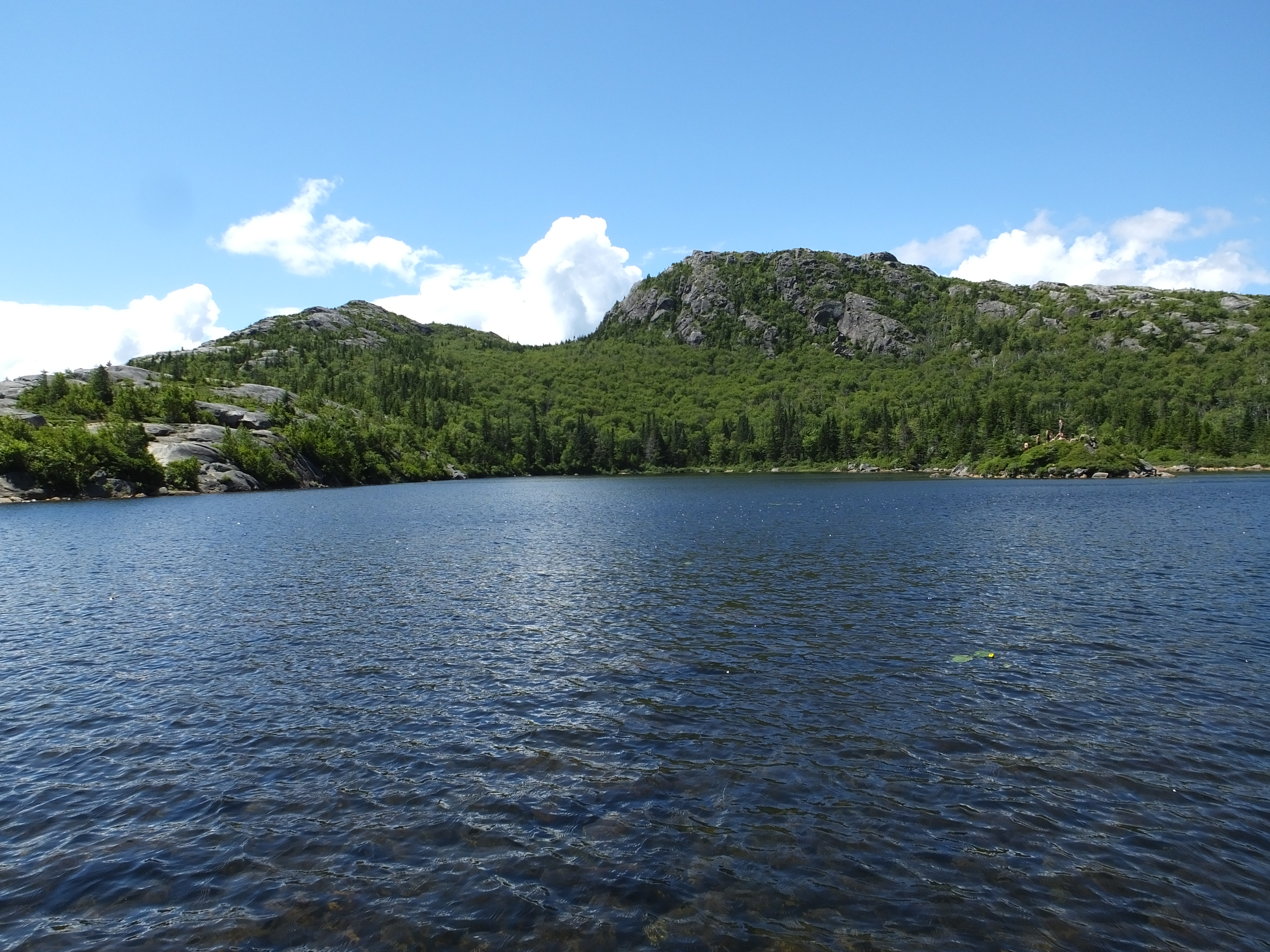
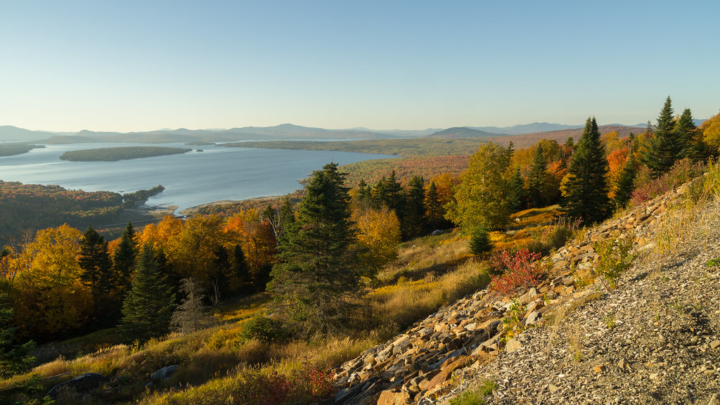
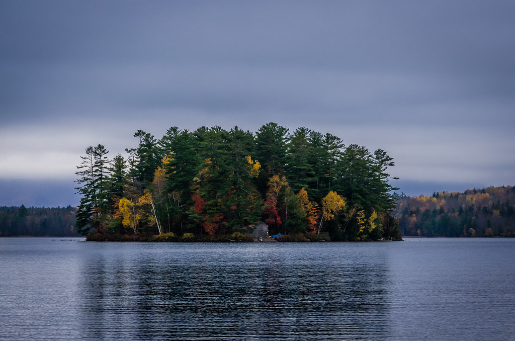
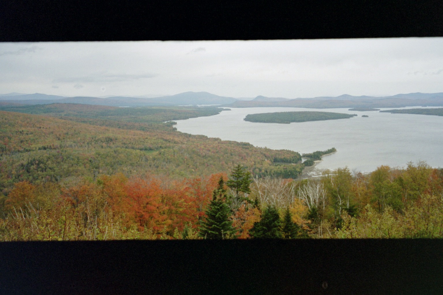
Webb Lake From Tumbledown Mountain

The Height of the Land
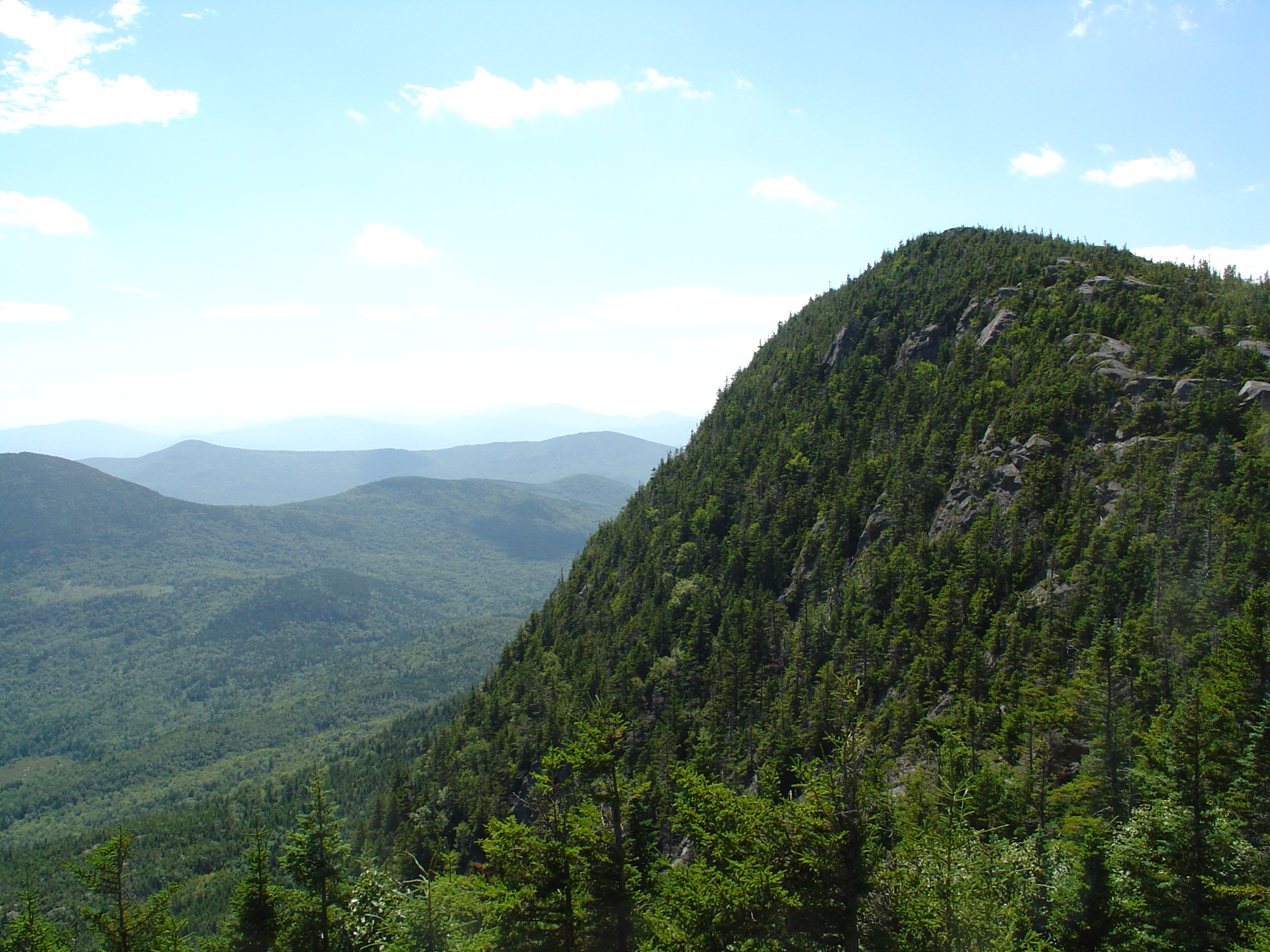
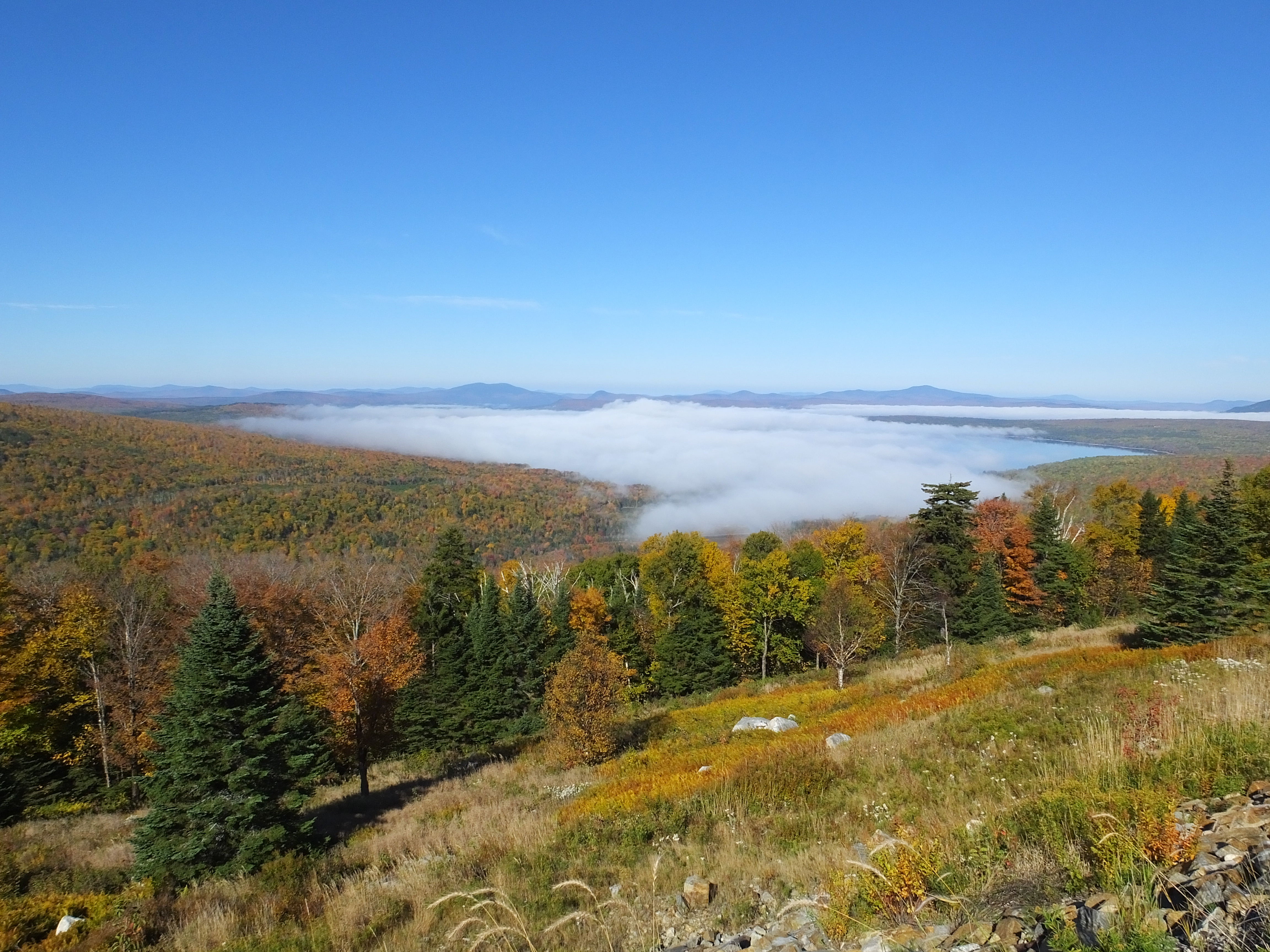
View From Tumbledown Mountain 2

South Arm Road to Maine 17
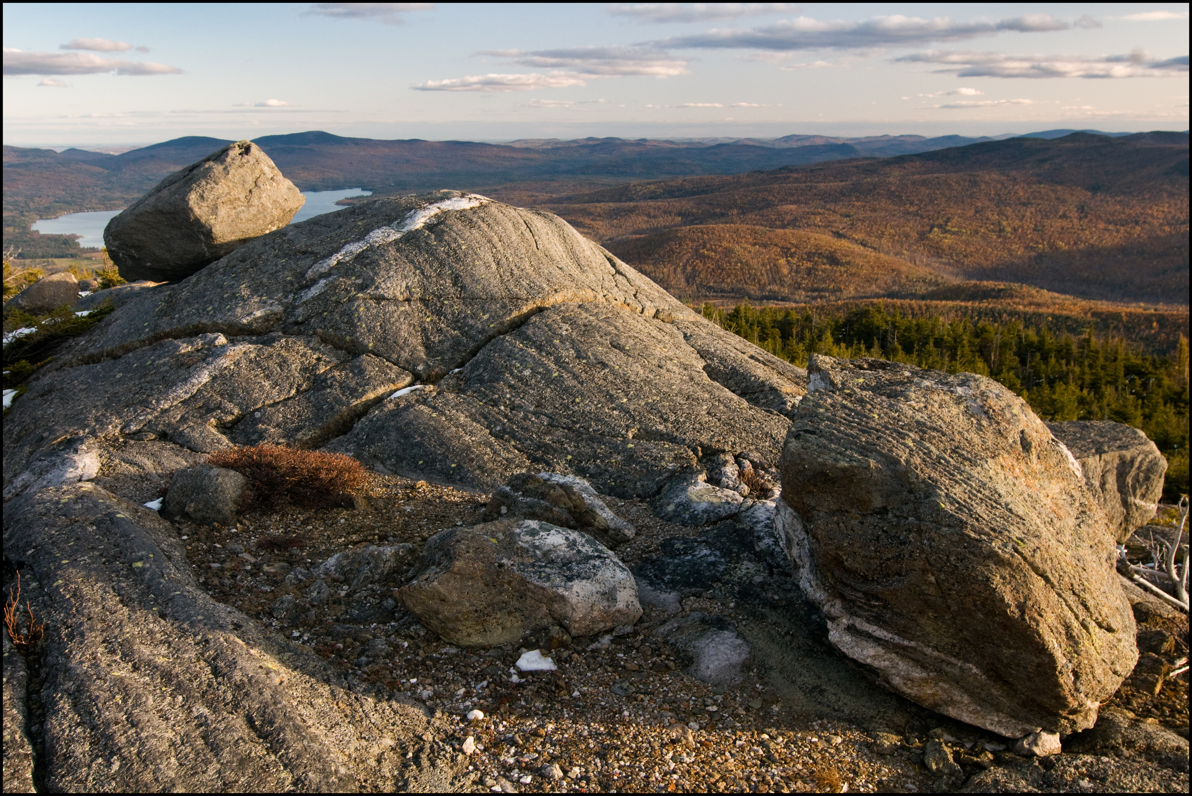
Crator Lake On Tumbledown Mountain
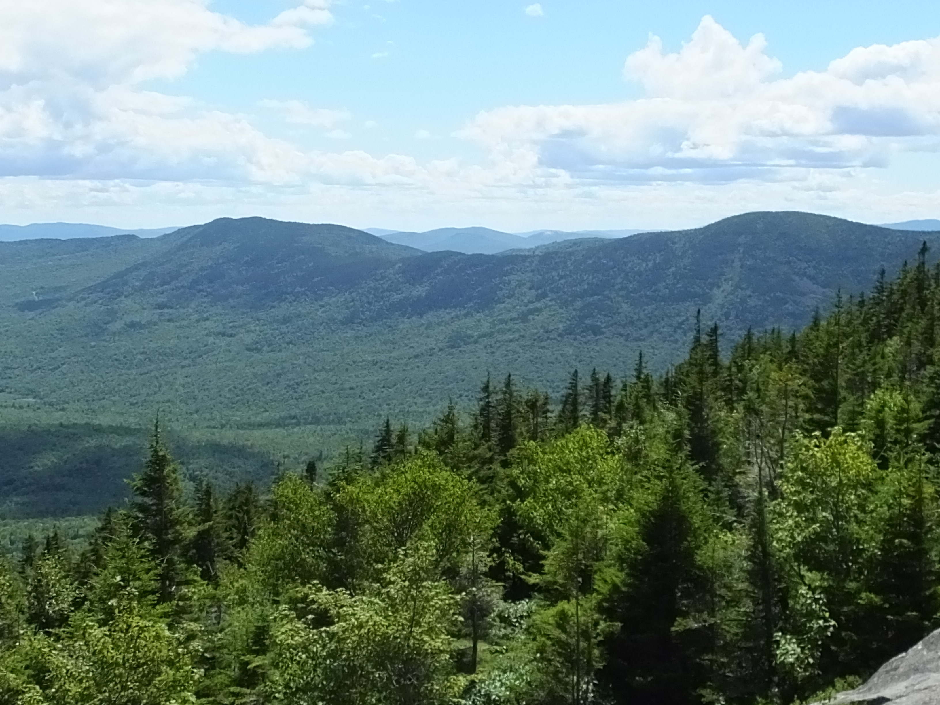
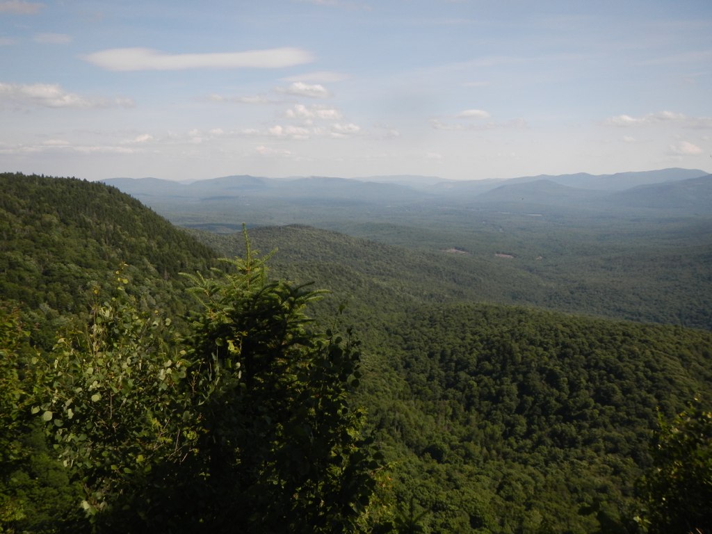
View From Tumbledown Mountain 4

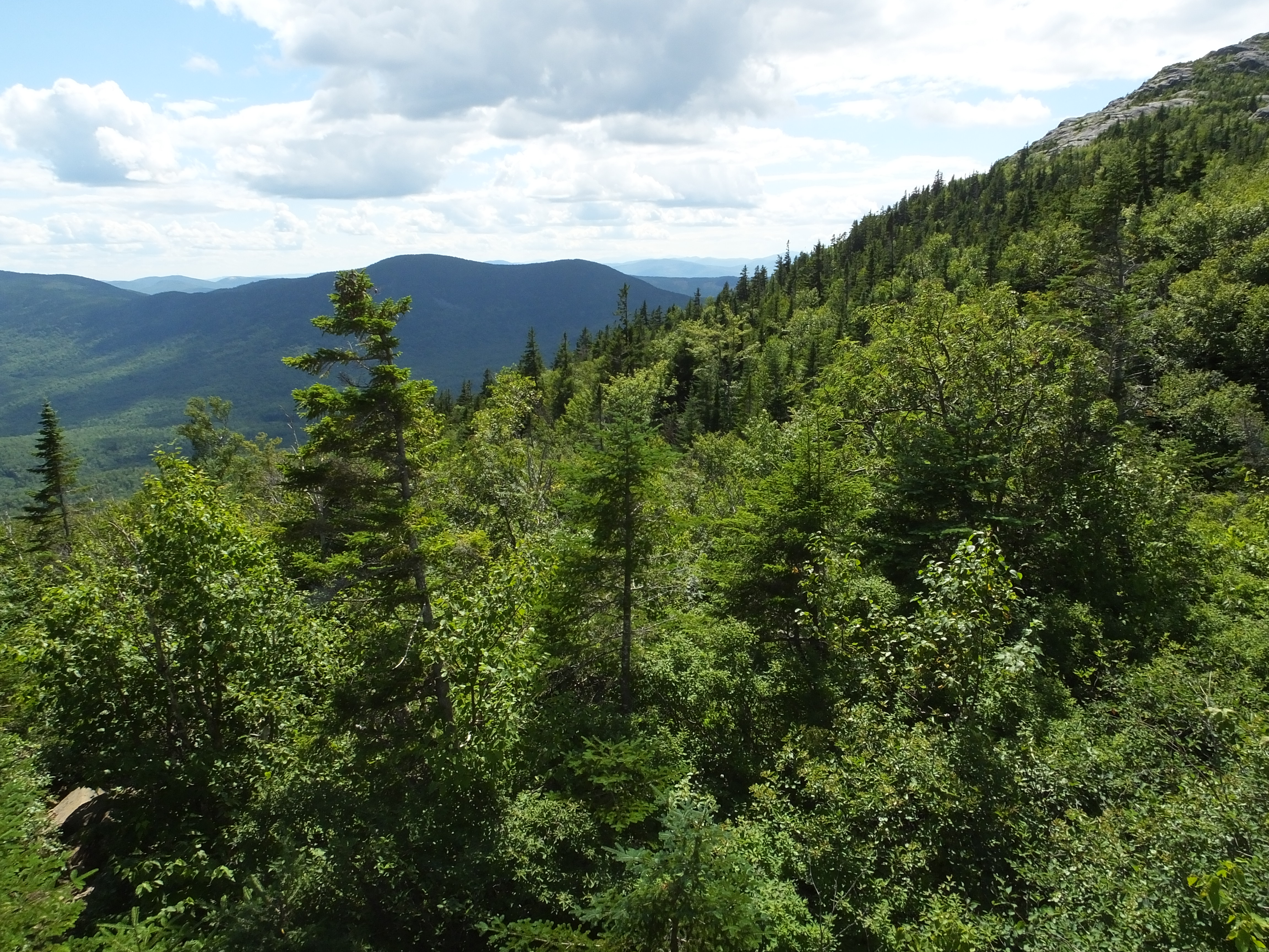
View From Tumbledown Mountain 1
view to the east
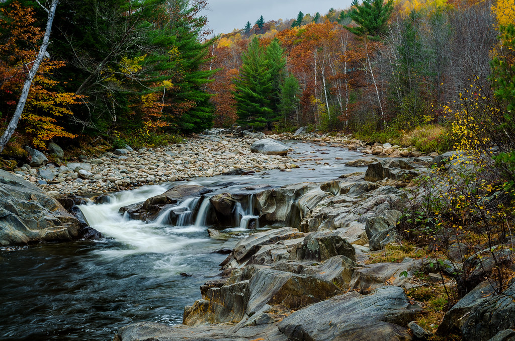
Indian Summer in Maine
South Arm Road to Maine 17

Fat Man's Misery - Looking Up
Black Mountain - View From the Mountain

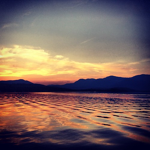
After the sunset
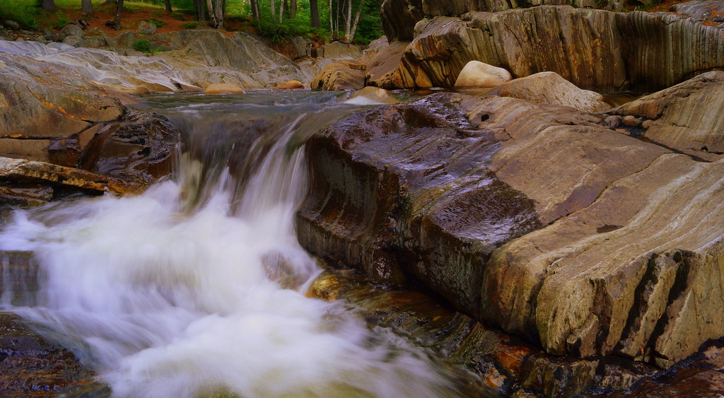
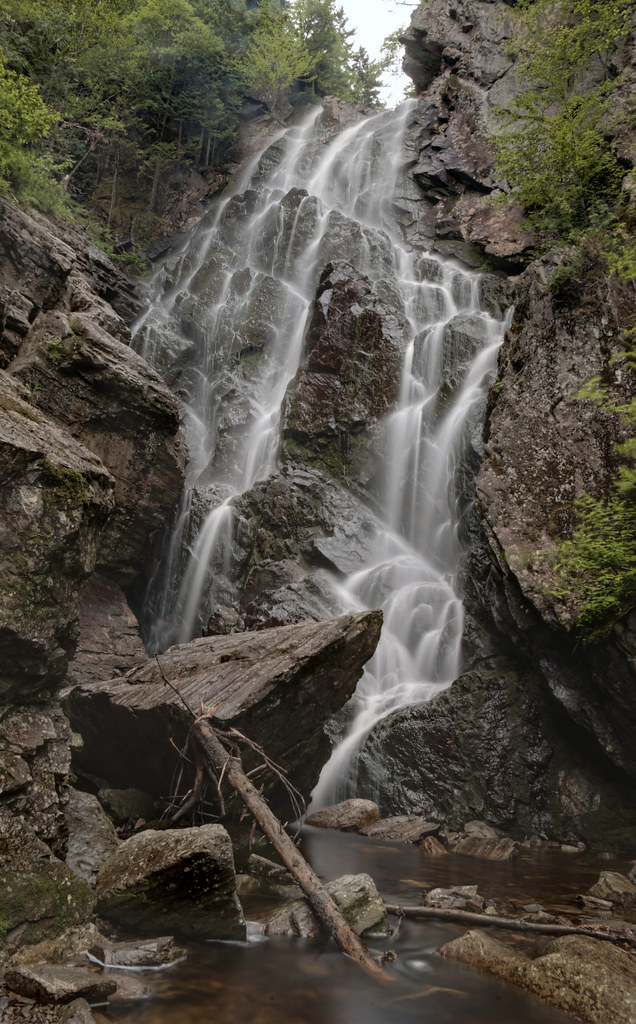
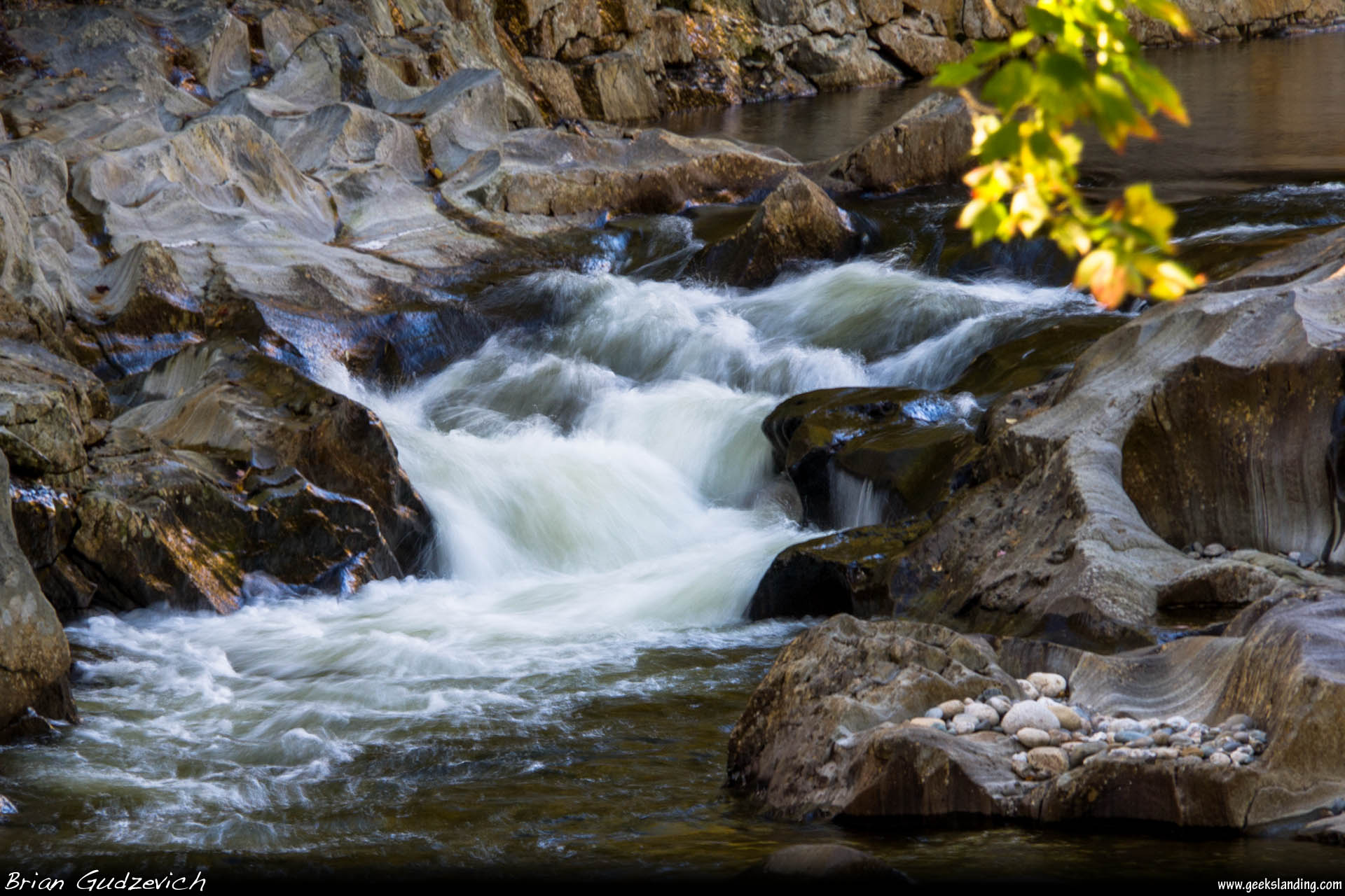
Coos Canyon Falls
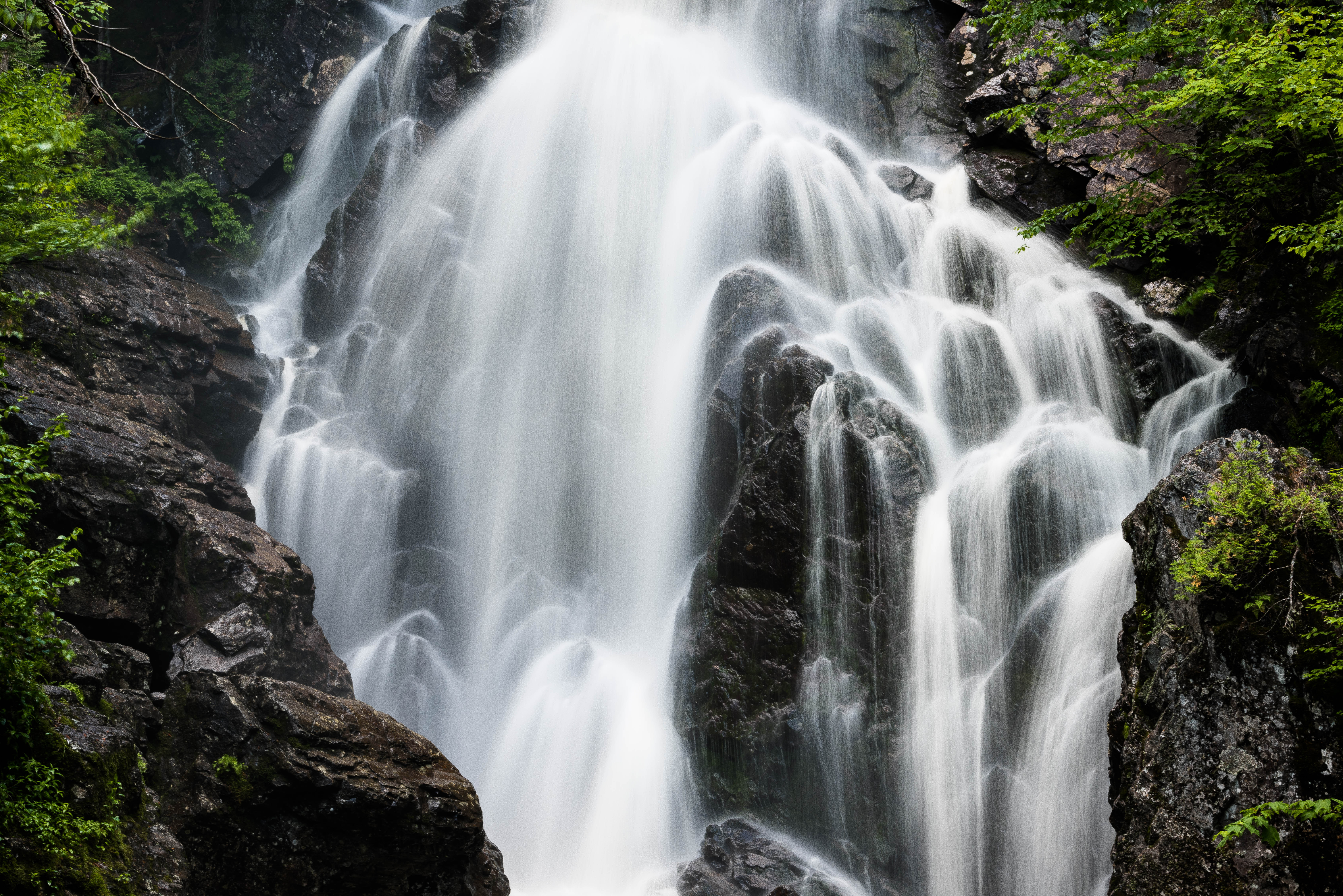
Angel Falls II - Ten Degree, Weld, Maine
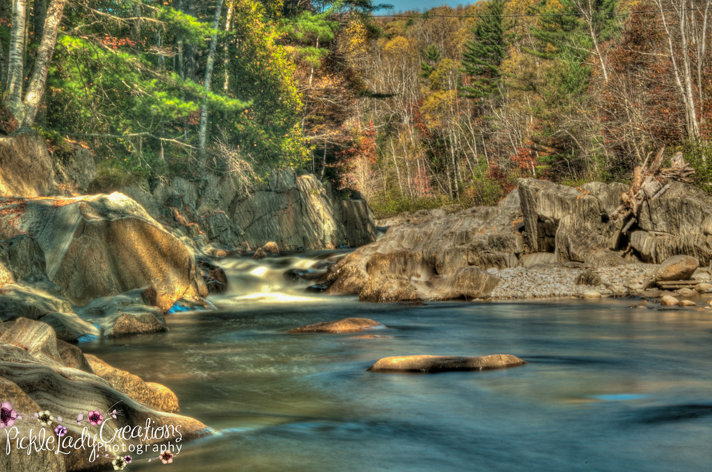
Coos Canyon
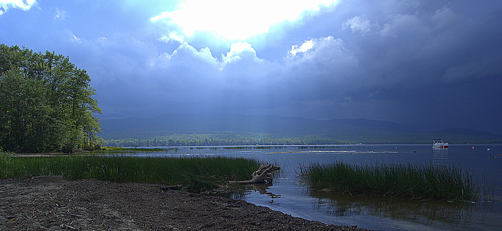
storm coming

Webb Lake

Coos Cayon 2013-70
Ellis Pond

Coos Cayon 2013-2
Mist Covered Lake Mooselookmeguntic

"Autumn Splendor" - Mount Blue State Park, Maine, USA
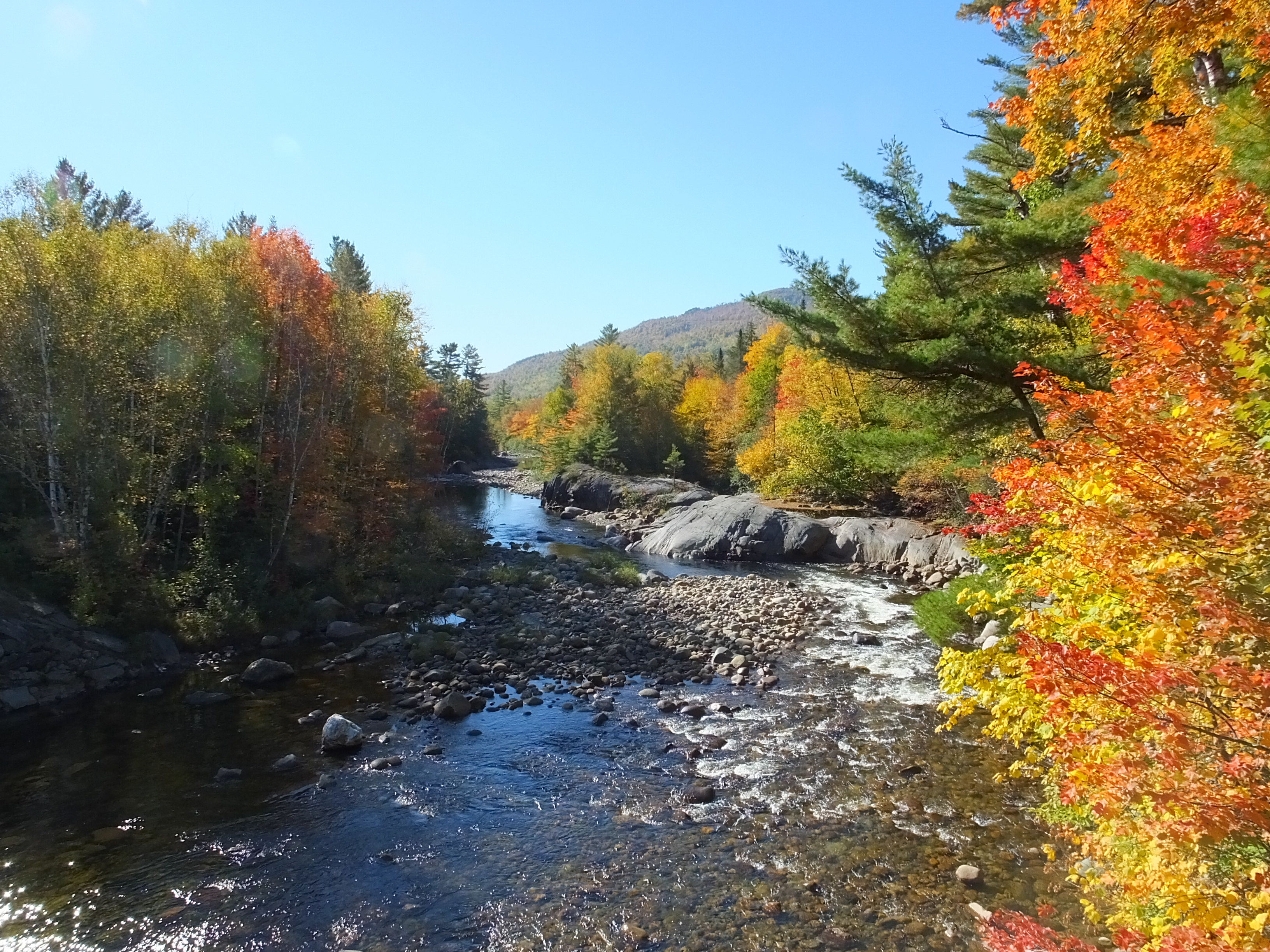
Swift River
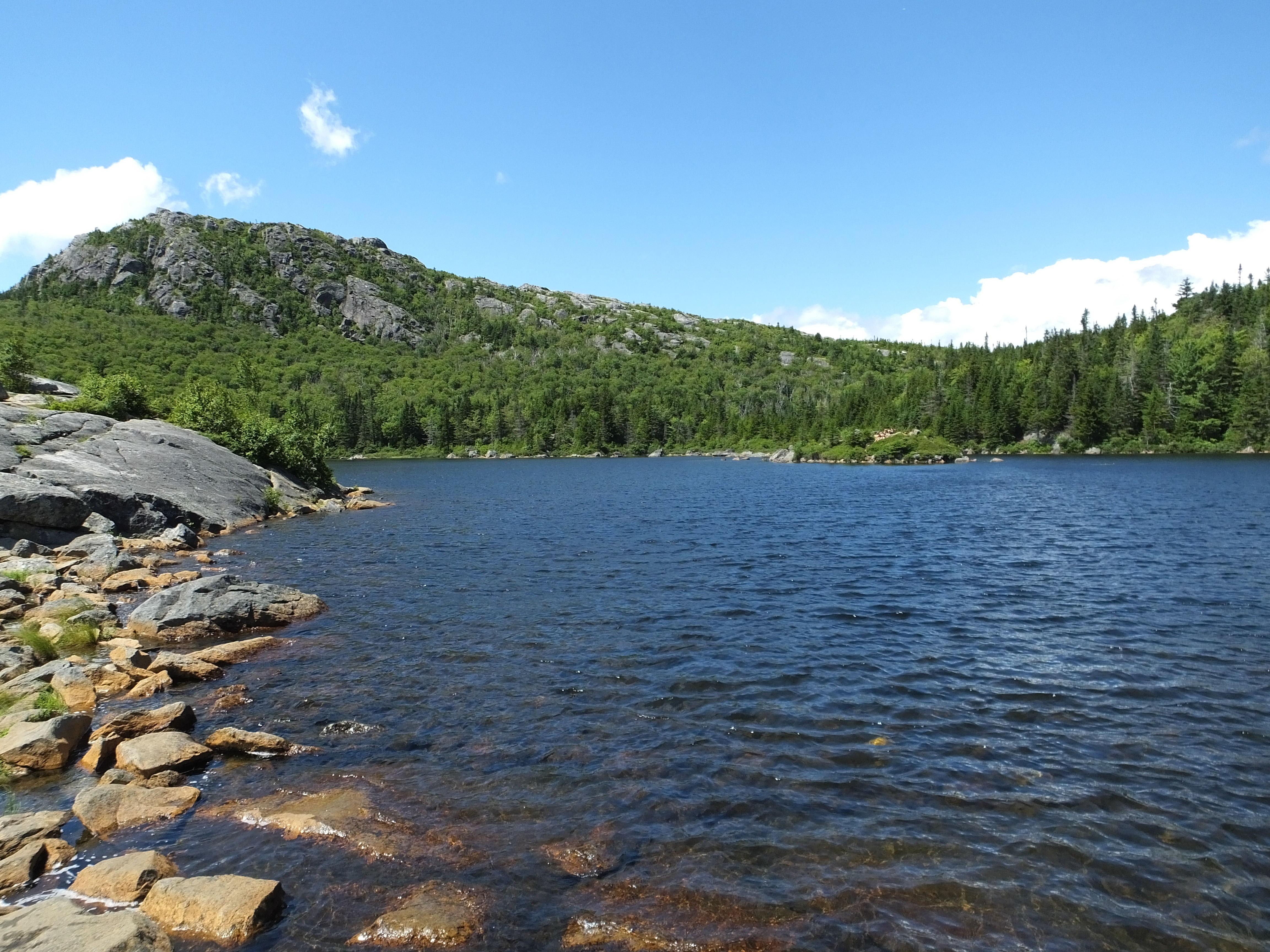
Crator Lake On Tumbledown Mountain
Angel Falls, Maine in the Rain
Height of Land, Maine
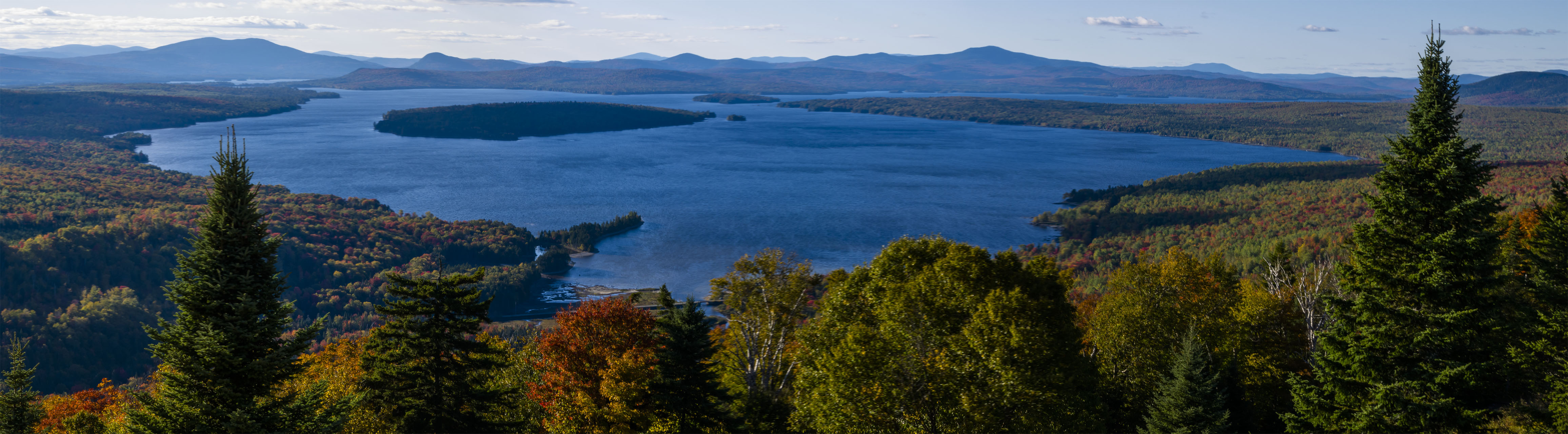
Mooselookmeguntic Lake
Coos Cayon 2013-5
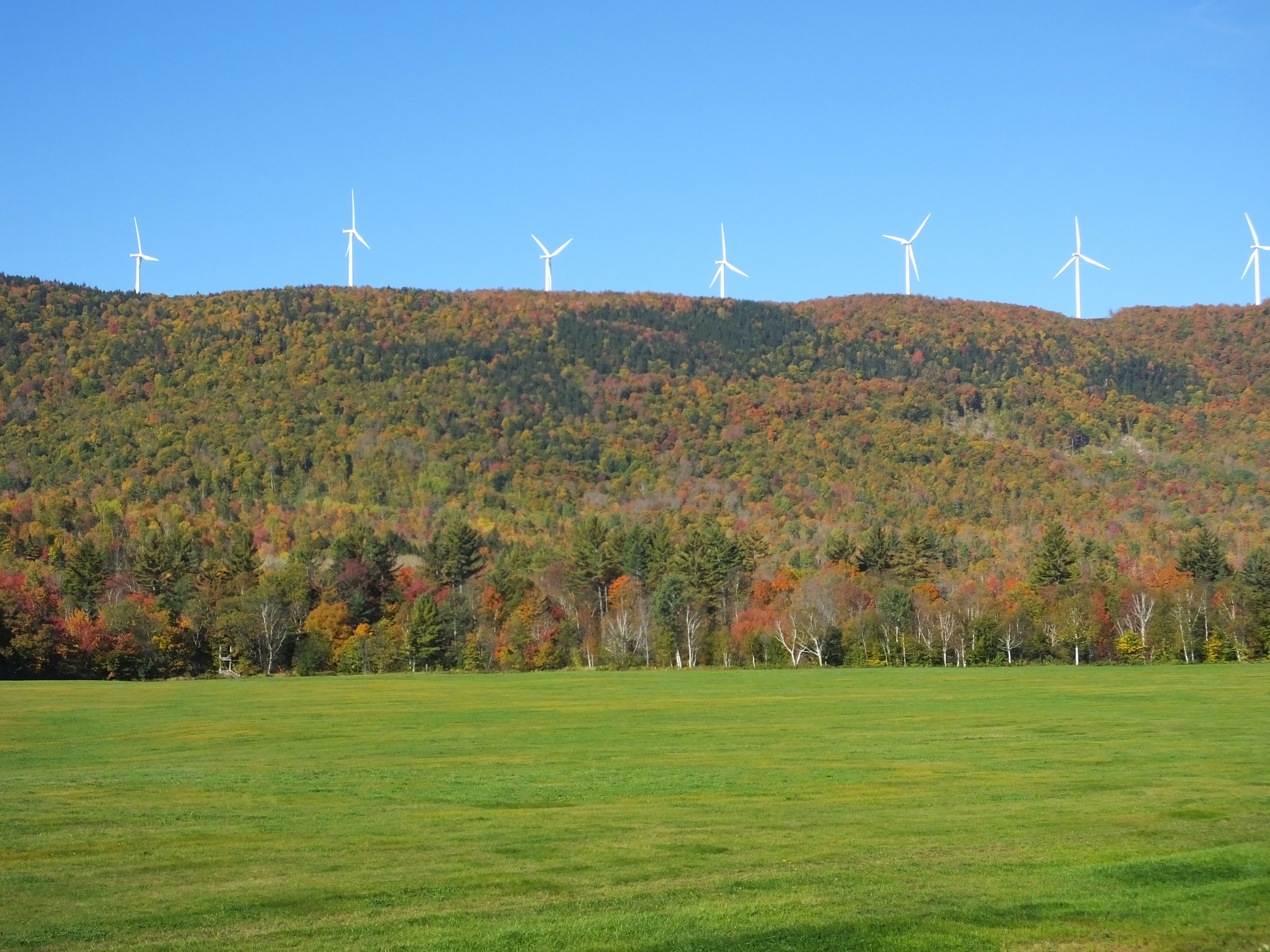
Record Hill Wind Project
#sunset #tumbledown #mtjackson #mainelove #magichour
Falls In The Canyon
Topographic Map of Byron, ME, USA
Find elevation by address:

Places in Byron, ME, USA:
Places near Byron, ME, USA:
Buckfield Hill Road
Roxbury
Roxbury Notch Road
Roxbury Notch Road
West Central Franklin
Height Of Land
39 Glover Rd
Andover
850 S Main St
Stinchfield Road
Rangeley Plantation
320 Eaton Hill Rd
397 Backkingdom Rd
41 Roxbury Rd
237 Backkingdom Rd
431 Franklin St
Rumford
Rumford
Mexico
Mexico
Recent Searches:
- Elevation of Corso Fratelli Cairoli, 35, Macerata MC, Italy
- Elevation of Tallevast Rd, Sarasota, FL, USA
- Elevation of 4th St E, Sonoma, CA, USA
- Elevation of Black Hollow Rd, Pennsdale, PA, USA
- Elevation of Oakland Ave, Williamsport, PA, USA
- Elevation of Pedrógão Grande, Portugal
- Elevation of Klee Dr, Martinsburg, WV, USA
- Elevation of Via Roma, Pieranica CR, Italy
- Elevation of Tavkvetili Mountain, Georgia
- Elevation of Hartfords Bluff Cir, Mt Pleasant, SC, USA