Elevation of Burro Mountain, Colorado, USA
Location: United States > Colorado > La Plata County > Hesperus >
Longitude: -108.11063
Latitude: 37.4861074
Elevation: 3453m / 11329feet
Barometric Pressure: 66KPa
Elevation Map:
Satellite Map:
Related Photos:
La Plata City
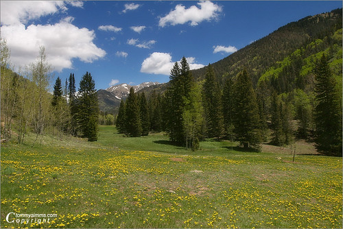
La Plata Canyon
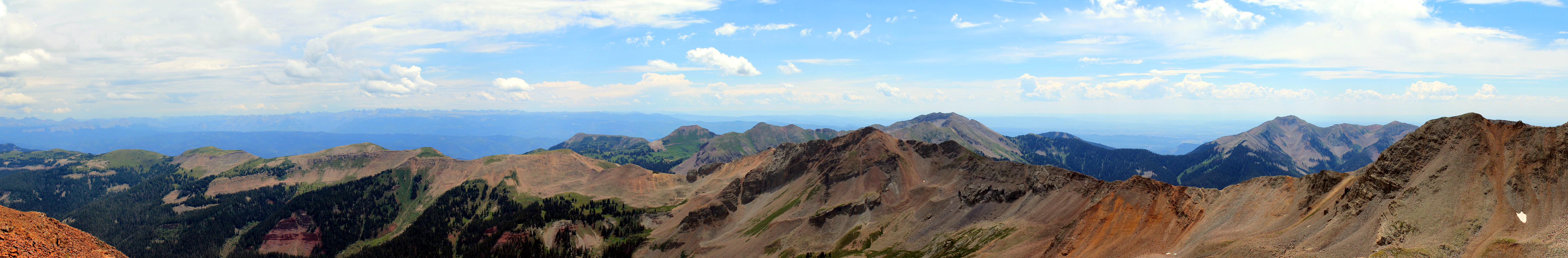
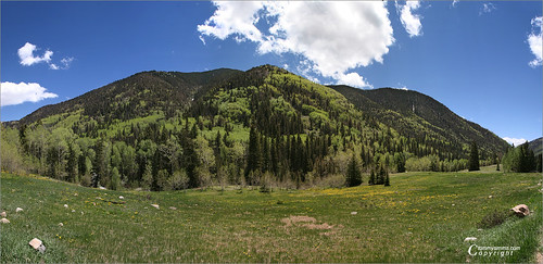
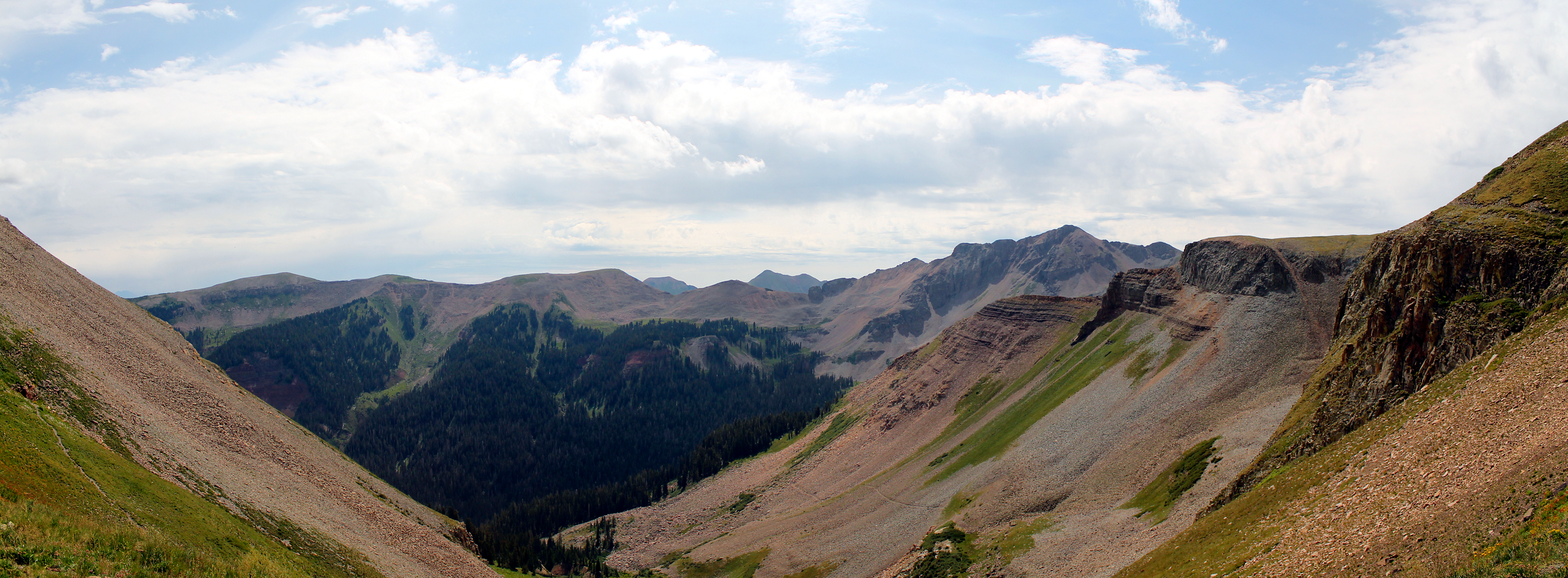
View from Centennial Peak
View from Centennial Peak
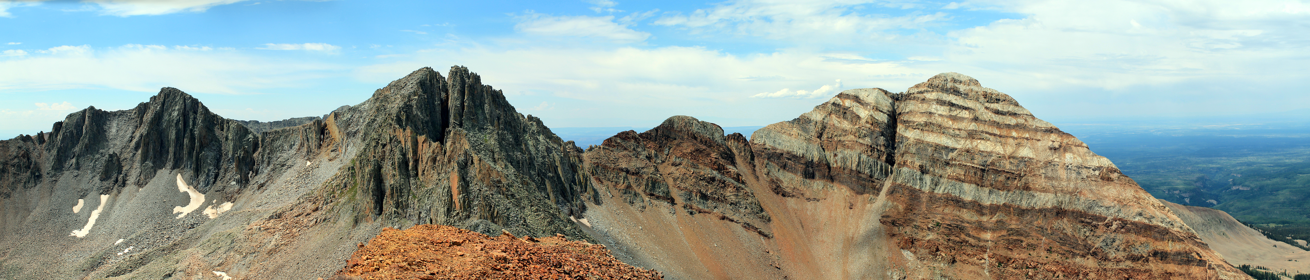
View from Sharkstooth Pass

San Juan Skyway, S.R. 145 Between Stoner and Rico, Colorado
Topographic Map of Burro Mountain, Colorado, USA
Find elevation by address:

Places near Burro Mountain, Colorado, USA:
Hesperus Mountain
Camp Bird Mine
Taylor Reservoir
27646 Co-145
Priest Gulch Road
28400 Co-145
27315 Co-145
Co Rd, Hesperus, CO, USA
Bald Knob
Cherry Creek Road
26943 Co-145
Baldy Peak
12040 Co Rd 44
Target Tree Campground
33884 Co Rd M
33884 Co Rd M
33884 Co Rd M
25955 Co-145
Mancos State Park
11232 Co Rd 42
Recent Searches:
- Elevation of Corso Fratelli Cairoli, 35, Macerata MC, Italy
- Elevation of Tallevast Rd, Sarasota, FL, USA
- Elevation of 4th St E, Sonoma, CA, USA
- Elevation of Black Hollow Rd, Pennsdale, PA, USA
- Elevation of Oakland Ave, Williamsport, PA, USA
- Elevation of Pedrógão Grande, Portugal
- Elevation of Klee Dr, Martinsburg, WV, USA
- Elevation of Via Roma, Pieranica CR, Italy
- Elevation of Tavkvetili Mountain, Georgia
- Elevation of Hartfords Bluff Cir, Mt Pleasant, SC, USA