Elevation of Burlager Str. 68, Wagenfeld, Germany
Location: Germany > Lower Saxony > Wagenfeld >
Longitude: 8.52684
Latitude: 52.53752
Elevation: 38m / 125feet
Barometric Pressure: 101KPa
Elevation Map:
Satellite Map:
Related Photos:

Dümmer See, Lower Saxony, Germany
Kirche l church

Alternative view

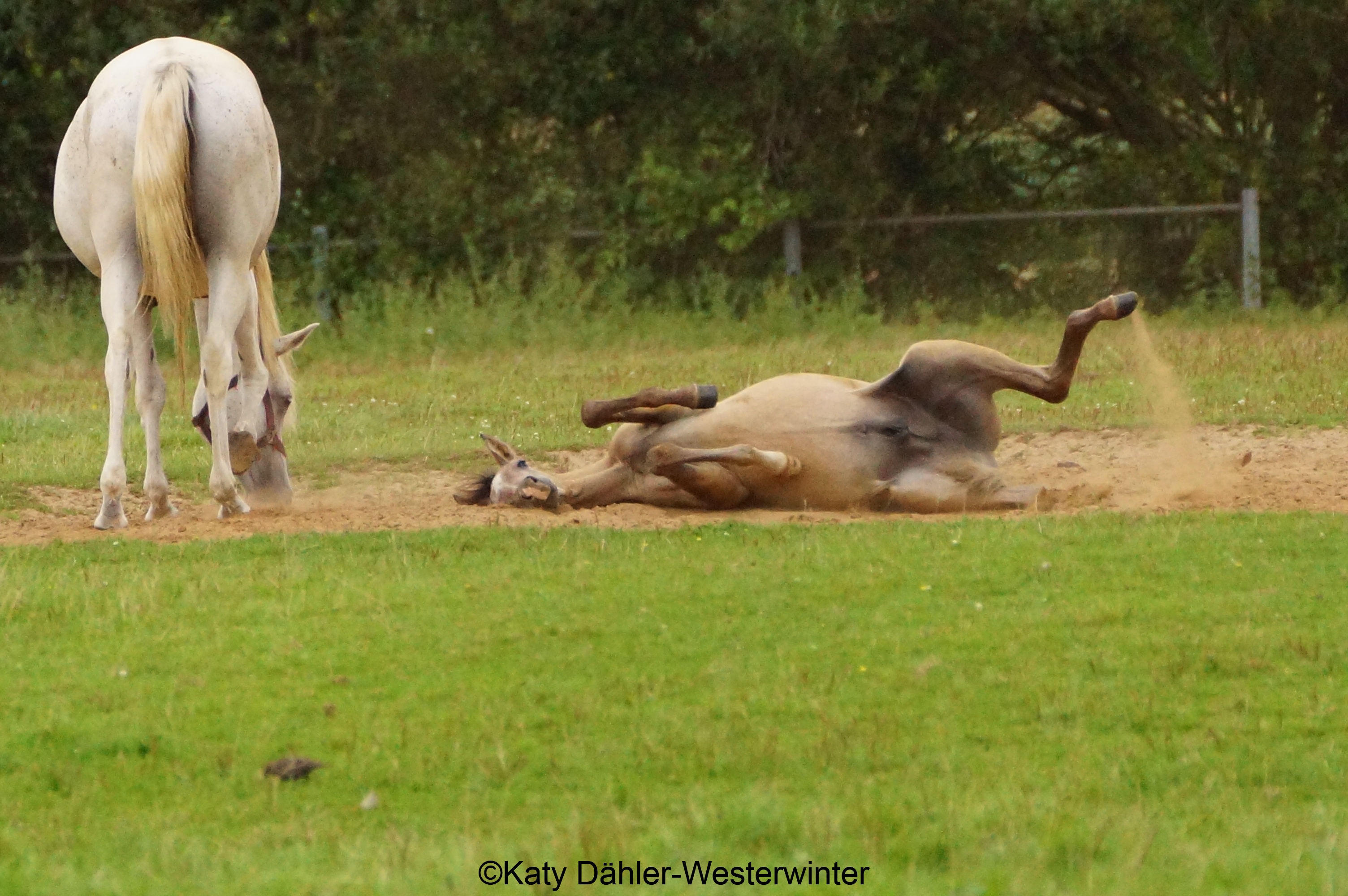
Arabian Mare
50. Dümmerbrand
Grandma's Brockum

Otoño
Afternoon sun
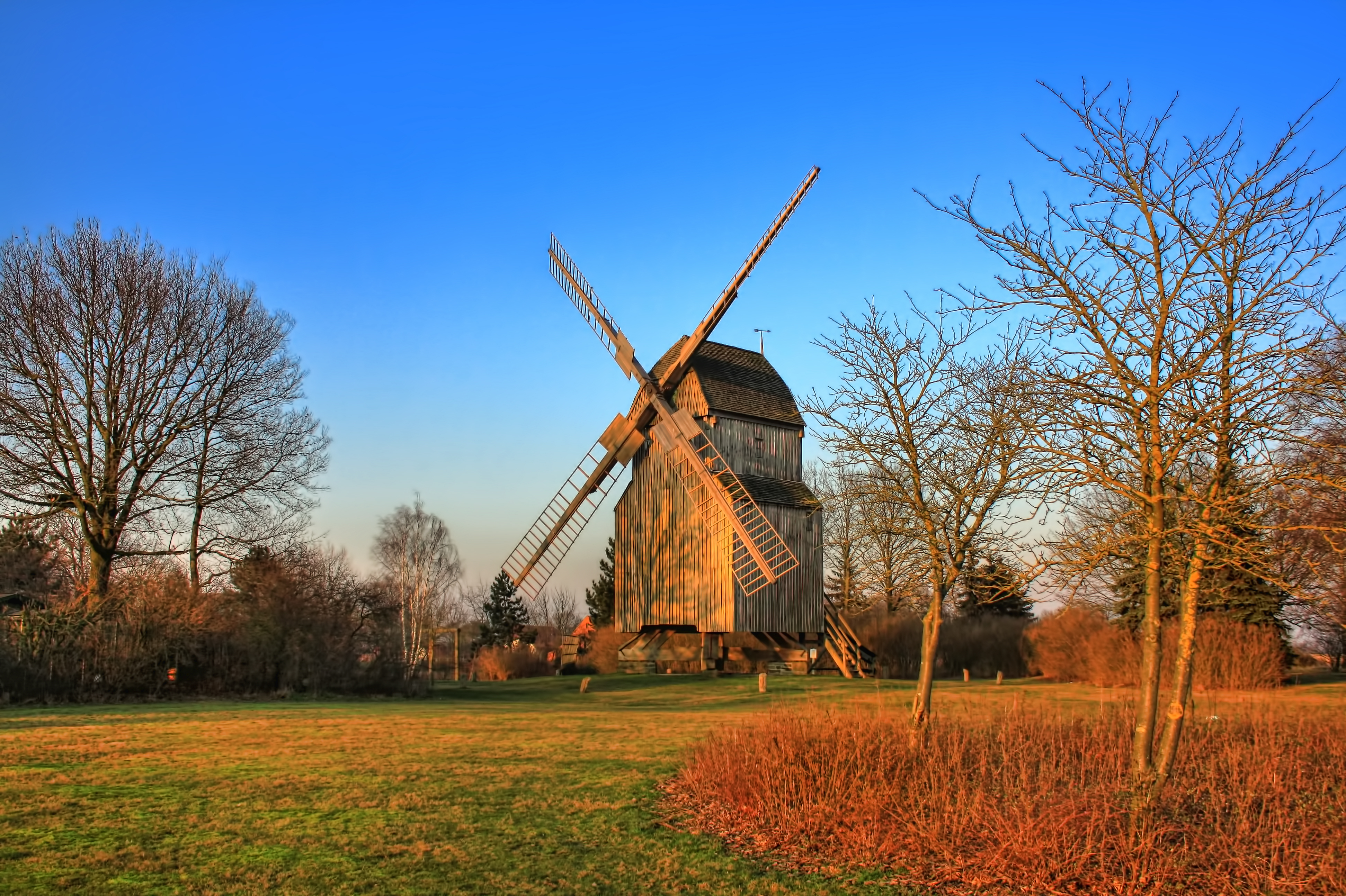
Stemwede-Oppenwehe - Bockwindmühle 01

- ohne -
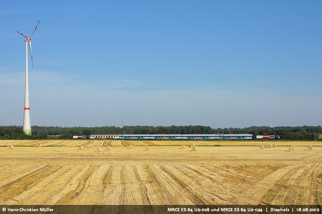
MRCE ES 64 U2-026 'HKX' (OLA ES 64 U2-026, 182 526) und MRCE ES 64 U2-034 bei Diepholz #8127
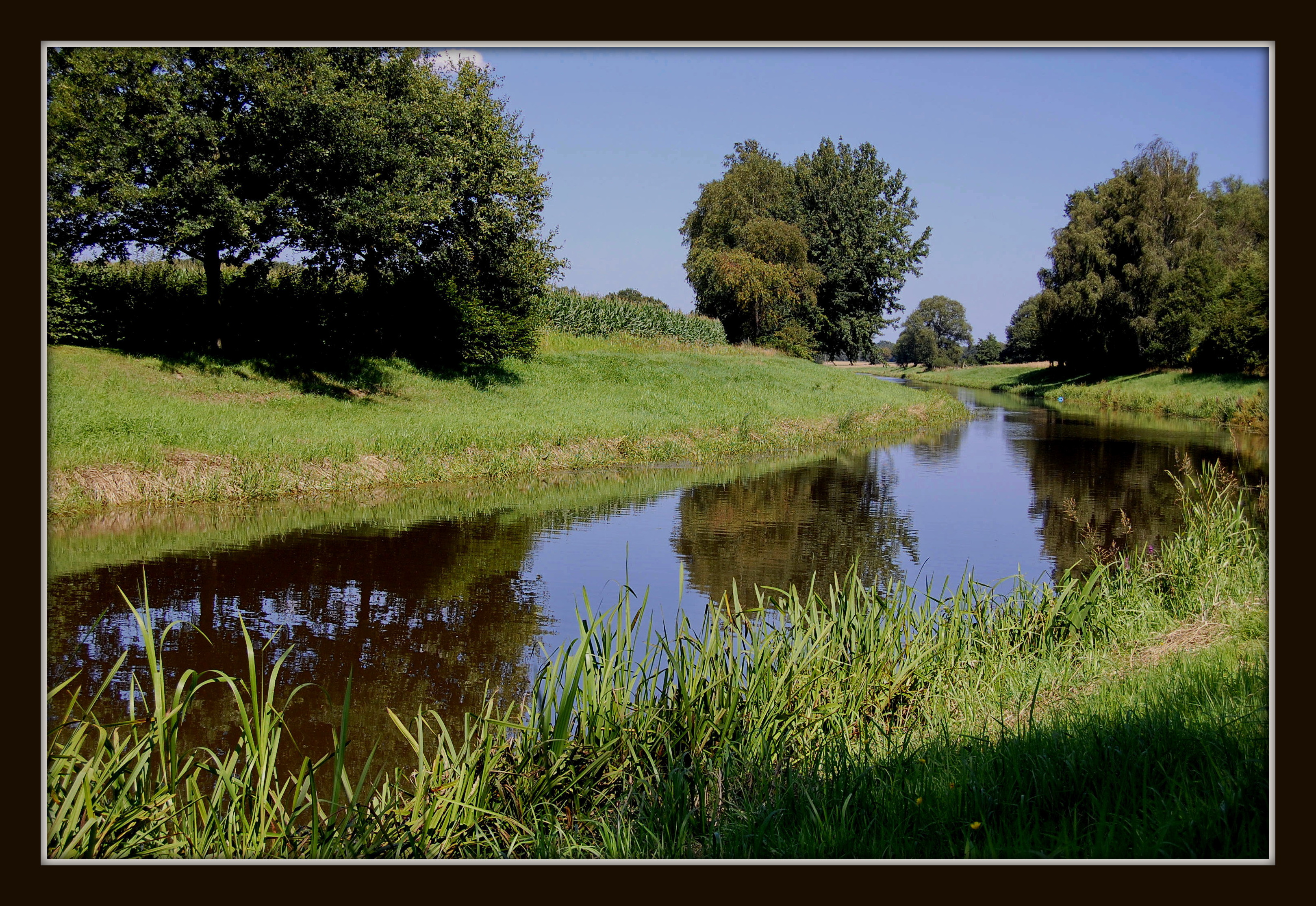
Deutschland / Niedersachsen / Flußlandschaft an der Hunte bei Dreeke
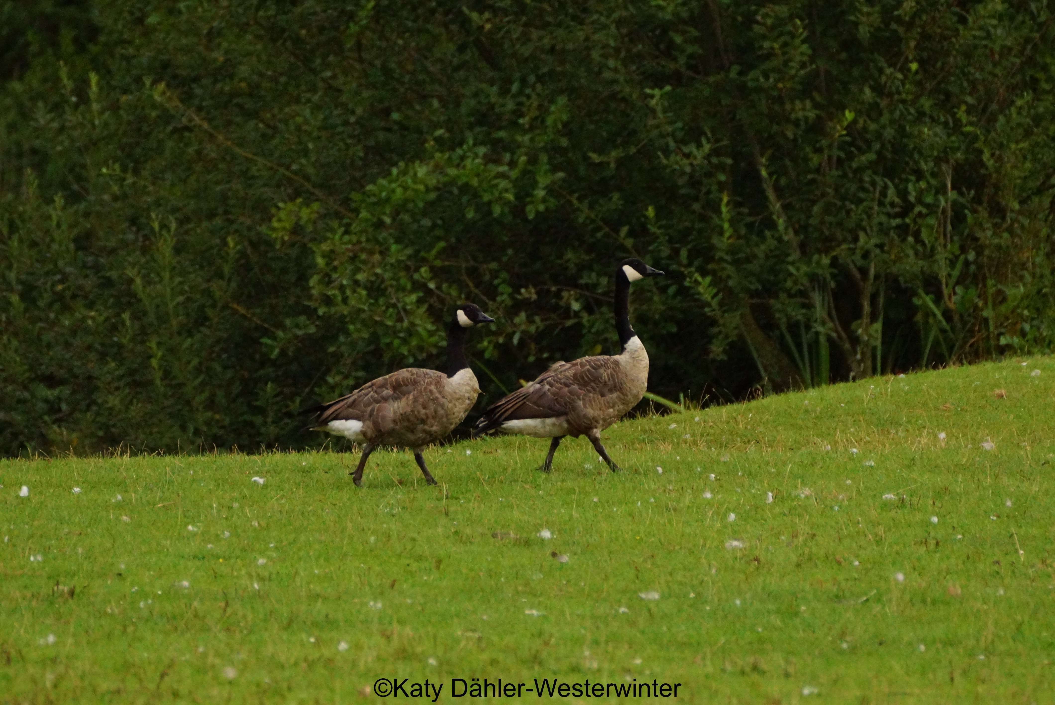
Tierpark Ströhen 16.08.14 887

Dümmer Mai 2013

Dümmer Juni 2014 4

you only hear some birds and the sea.
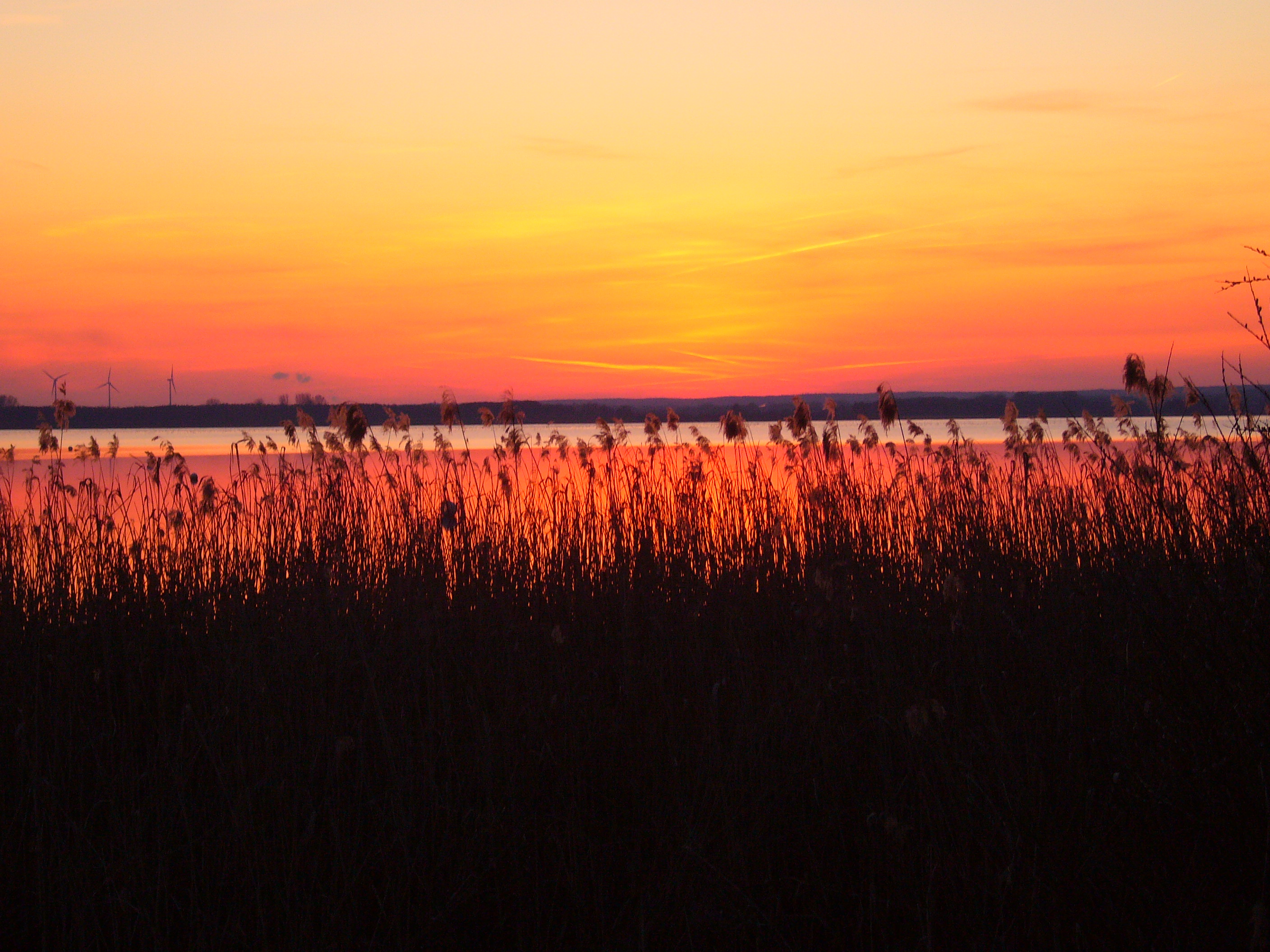
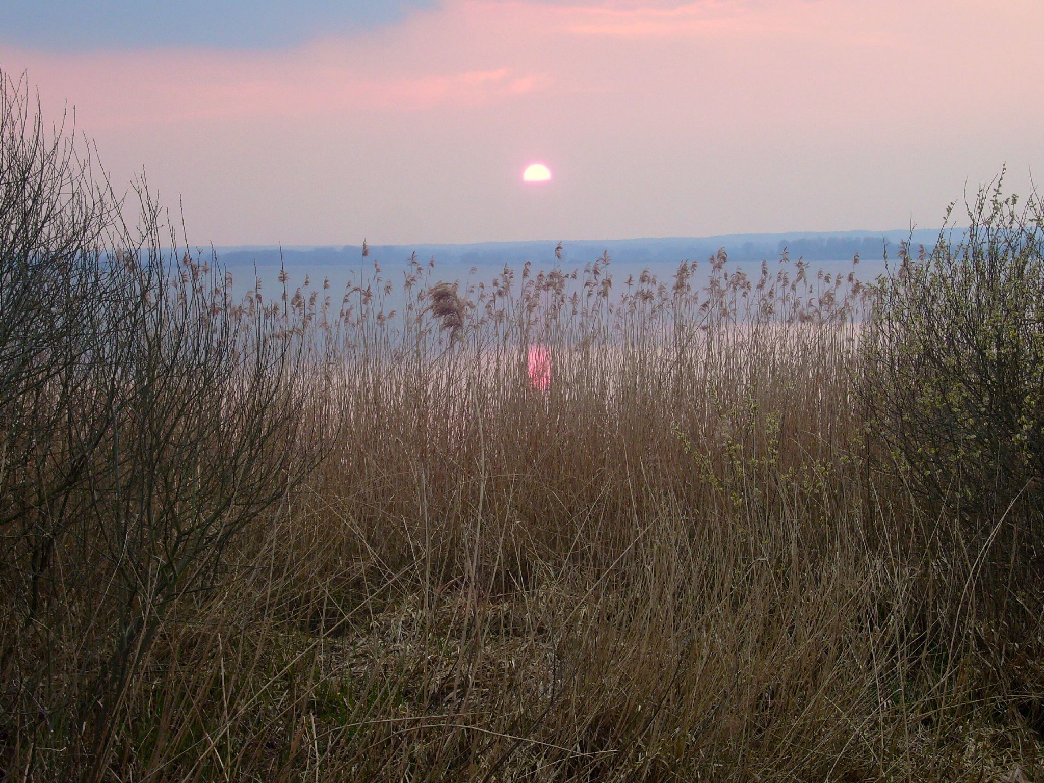
Dümmersee, Sonnenuntergang
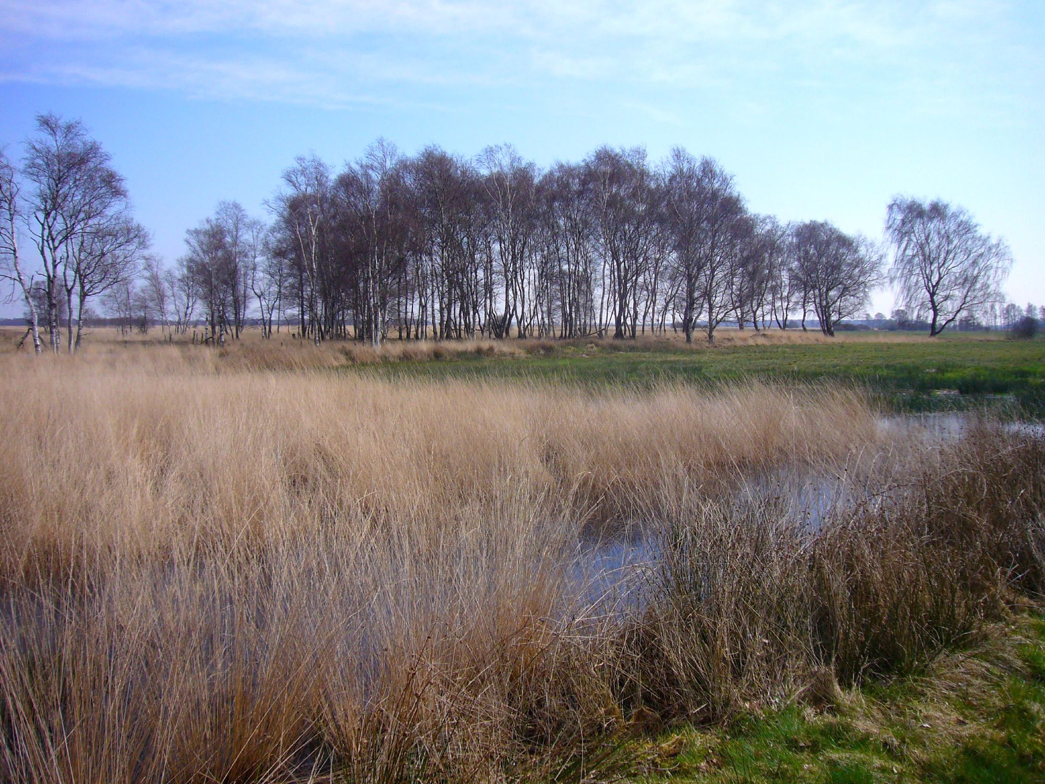
im Oppenweher Moor

Tierpark Ströhen 16.08.14 922
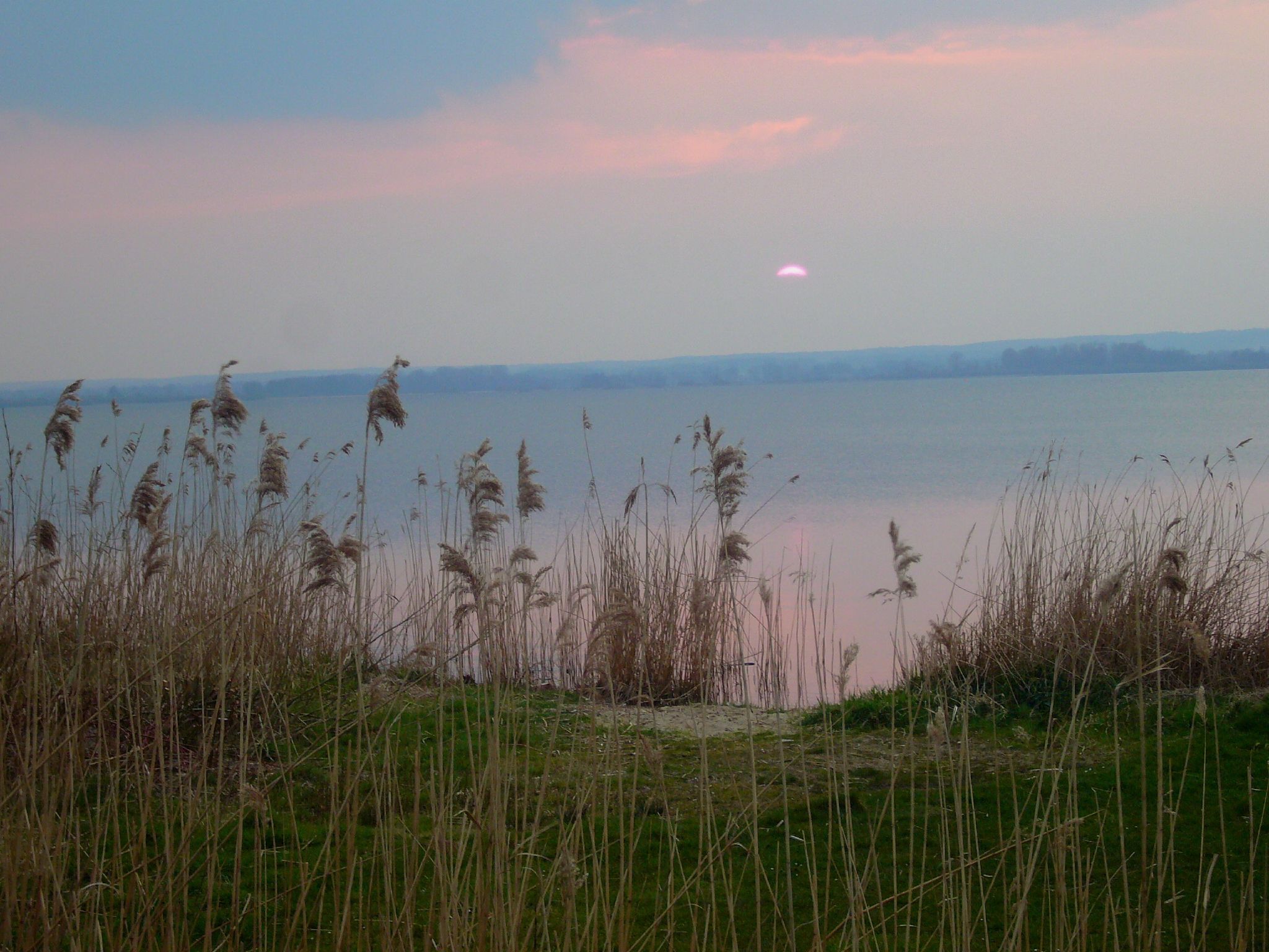
Dümmer, am Abend

Tierpark Ströhen 16.08.14 873
Tierpark Ströhen 16.08.14 892

Tierpark Ströhen 16.08.14 869

im Oppenweher Moor
Dümmer, am Abend

DSC073092 Uferschnepfe
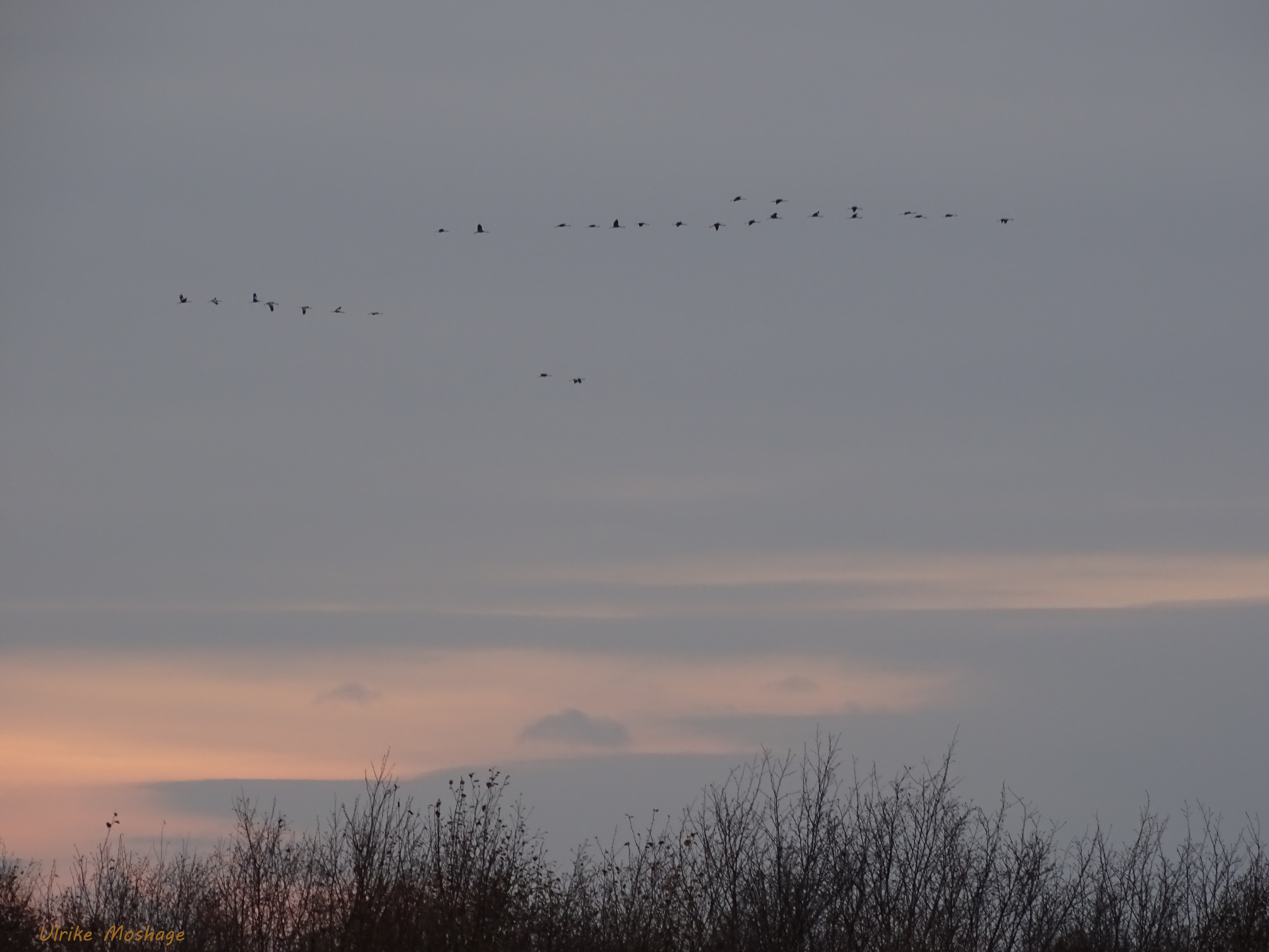
Sonnenuntergang - Kraniche im Anflug, NGIDn980739815
Topographic Map of Burlager Str. 68, Wagenfeld, Germany
Find elevation by address:

Places near Burlager Str. 68, Wagenfeld, Germany:
Wuthenaustraße 26, Wagenfeld, Germany
Wagenfeld
Krumme Ginge 8, Lembruch, Germany
Hinterm Felde 18, Stemwede, Germany
Oppenwehe
Oppendorf
Osterheider Ring 27, Stemwede, Germany
Gustav-Niermann-Weg 1, Stemwede, Germany
Wehdem
Babbelage 4, Stemwede, Germany
Museumshof
Stemwede
Kleinendorf
Rahden
Niedermehnen
Ströhen
Varreler Str. 5, Wagenfeld, Germany
Diepenau
Bramkamp
Bramkämper Brink 2, Diepenau, Germany
Recent Searches:
- Elevation of Corso Fratelli Cairoli, 35, Macerata MC, Italy
- Elevation of Tallevast Rd, Sarasota, FL, USA
- Elevation of 4th St E, Sonoma, CA, USA
- Elevation of Black Hollow Rd, Pennsdale, PA, USA
- Elevation of Oakland Ave, Williamsport, PA, USA
- Elevation of Pedrógão Grande, Portugal
- Elevation of Klee Dr, Martinsburg, WV, USA
- Elevation of Via Roma, Pieranica CR, Italy
- Elevation of Tavkvetili Mountain, Georgia
- Elevation of Hartfords Bluff Cir, Mt Pleasant, SC, USA