Elevation of Burke Dr, Plymouth, CA, USA
Location: United States > California > Amador County > Plymouth >
Longitude: -120.82245
Latitude: 38.47459
Elevation: 399m / 1309feet
Barometric Pressure: 97KPa
Elevation Map:
Satellite Map:
Related Photos:

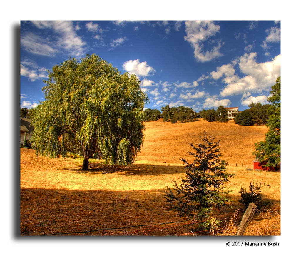
Sierra Nevada Foothills HDR
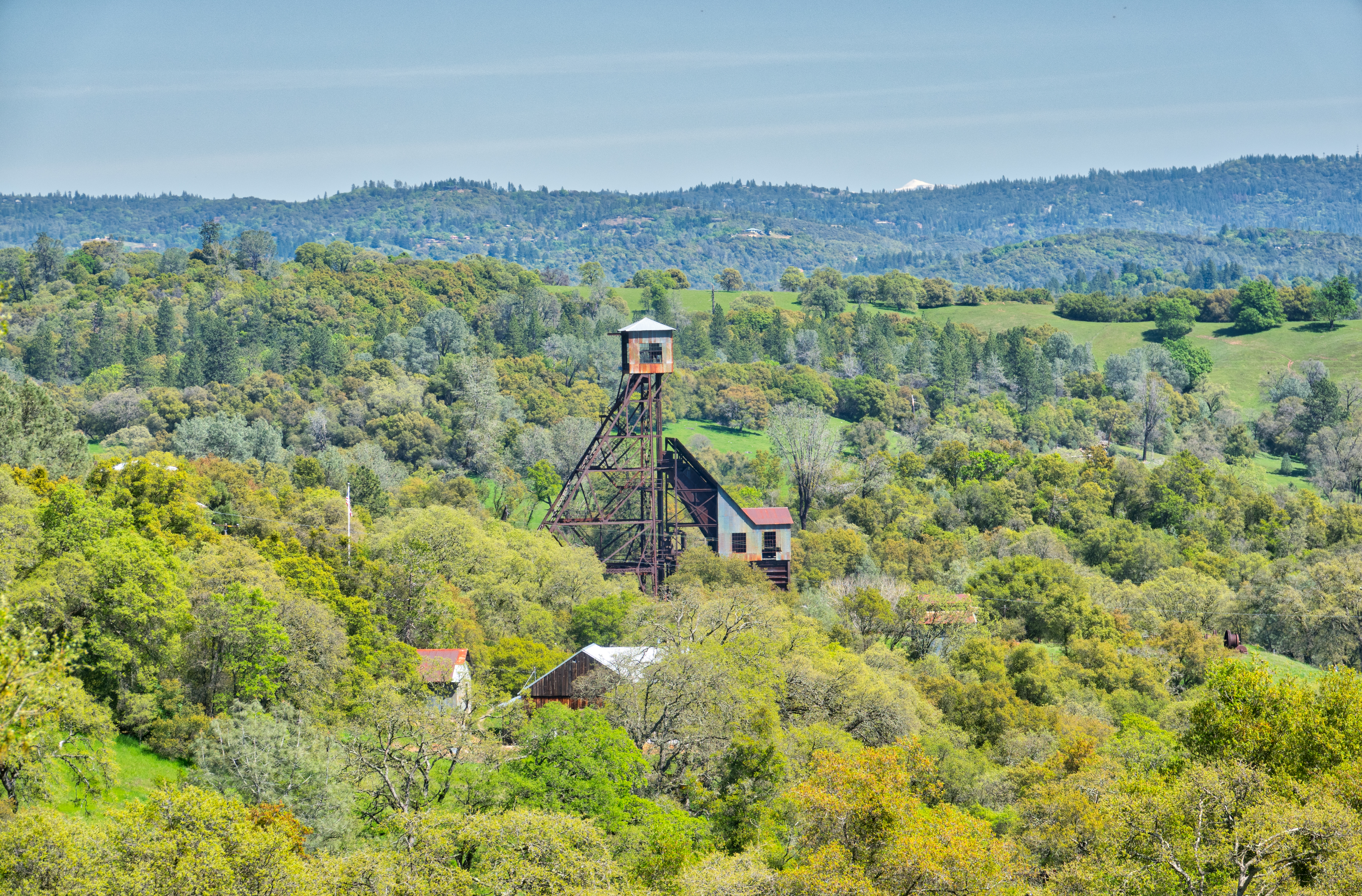
Old Kennedy Gold Mine Equipment HDR

The Harvest!
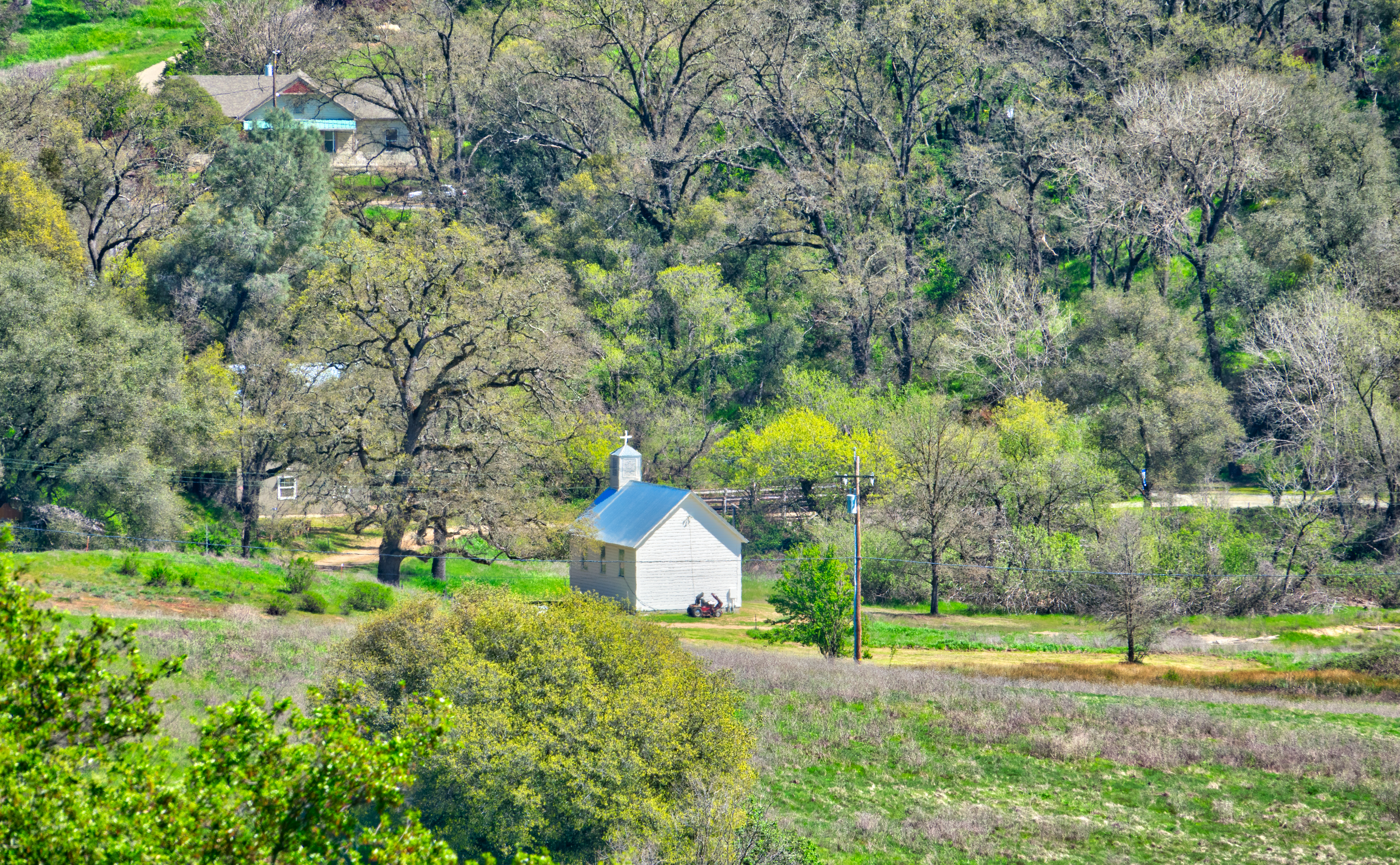
Little Church in the Sierra Nevada Foothills HDR
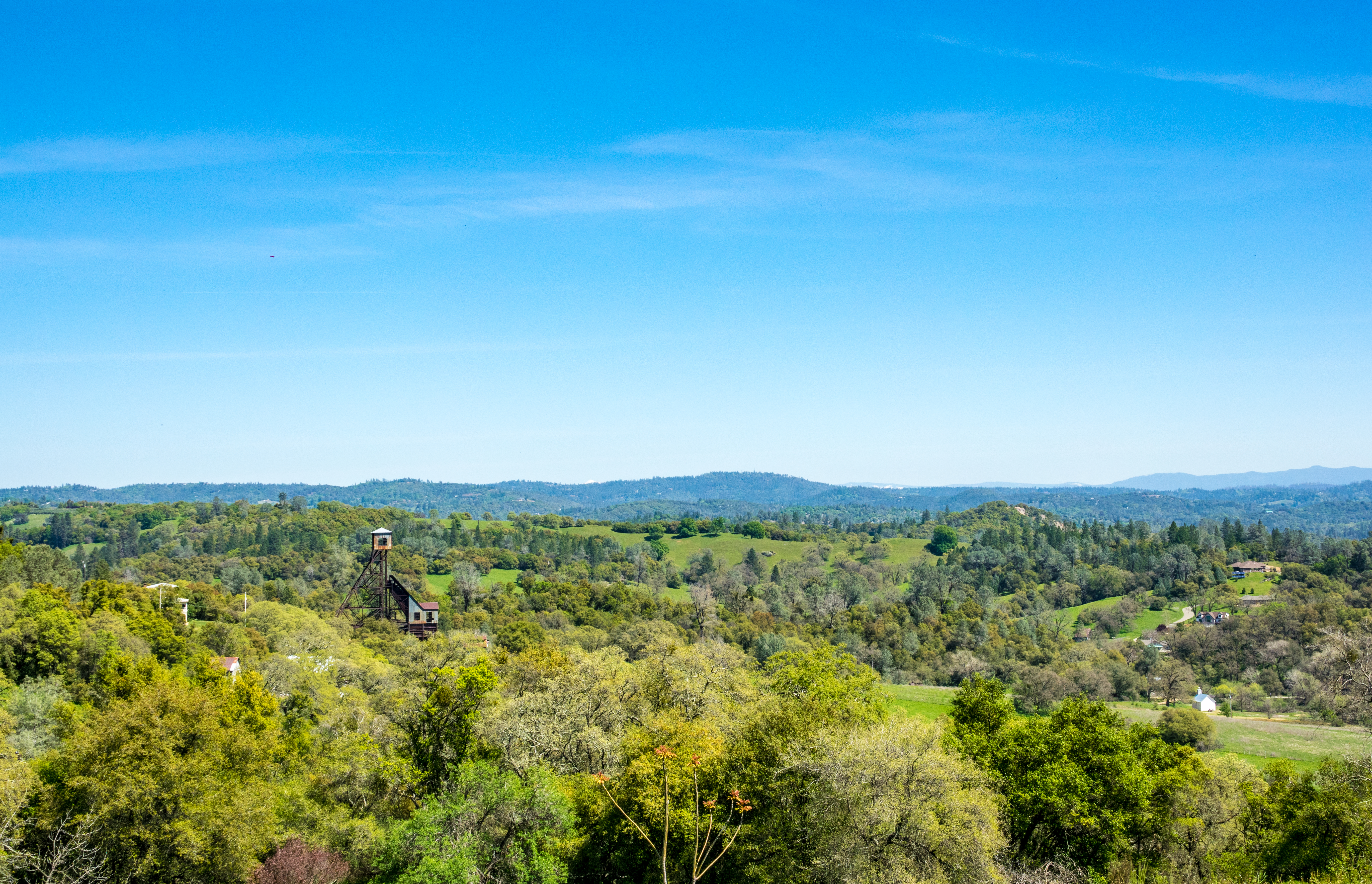
Looking east towards the mountains

Looking east towards the mountains
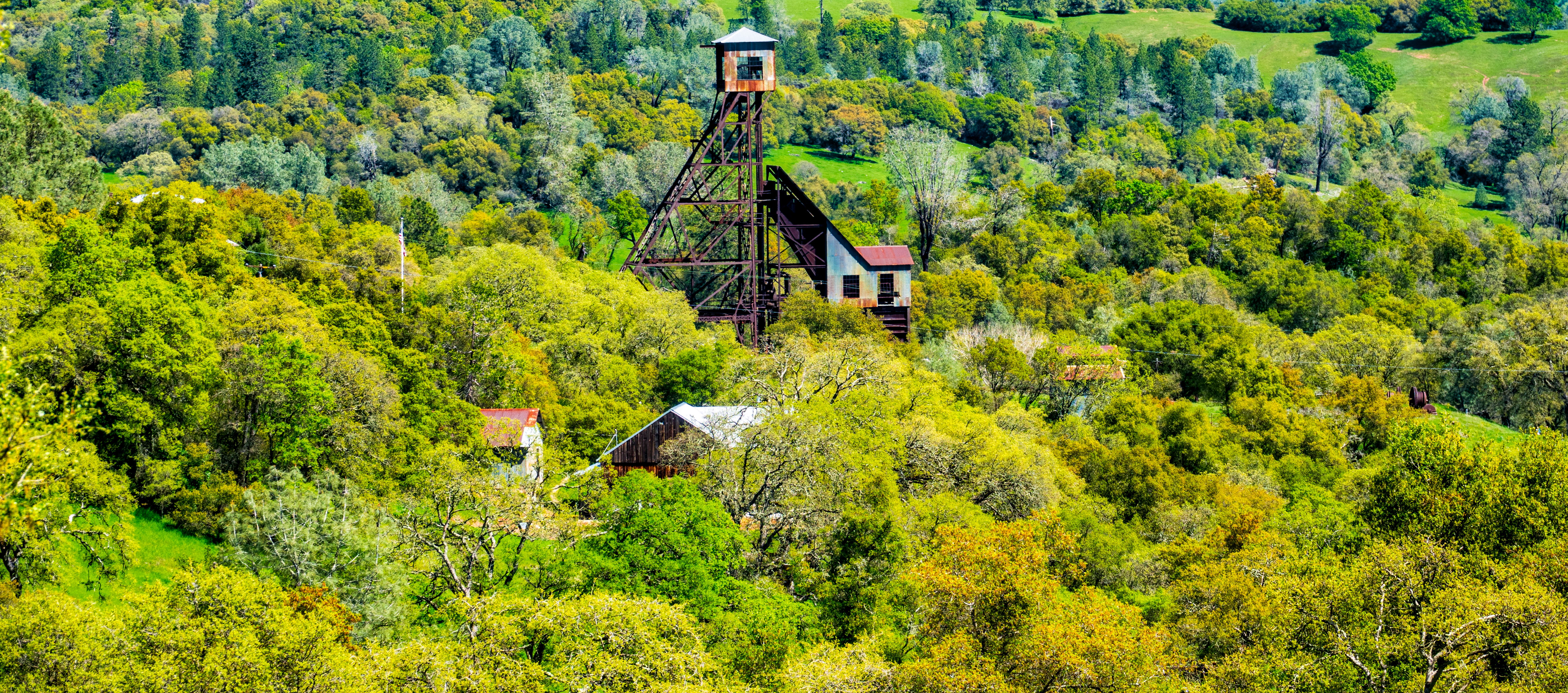
Old Kennedy Gold Mine Equipment HDR - Happy Sliders Sunday
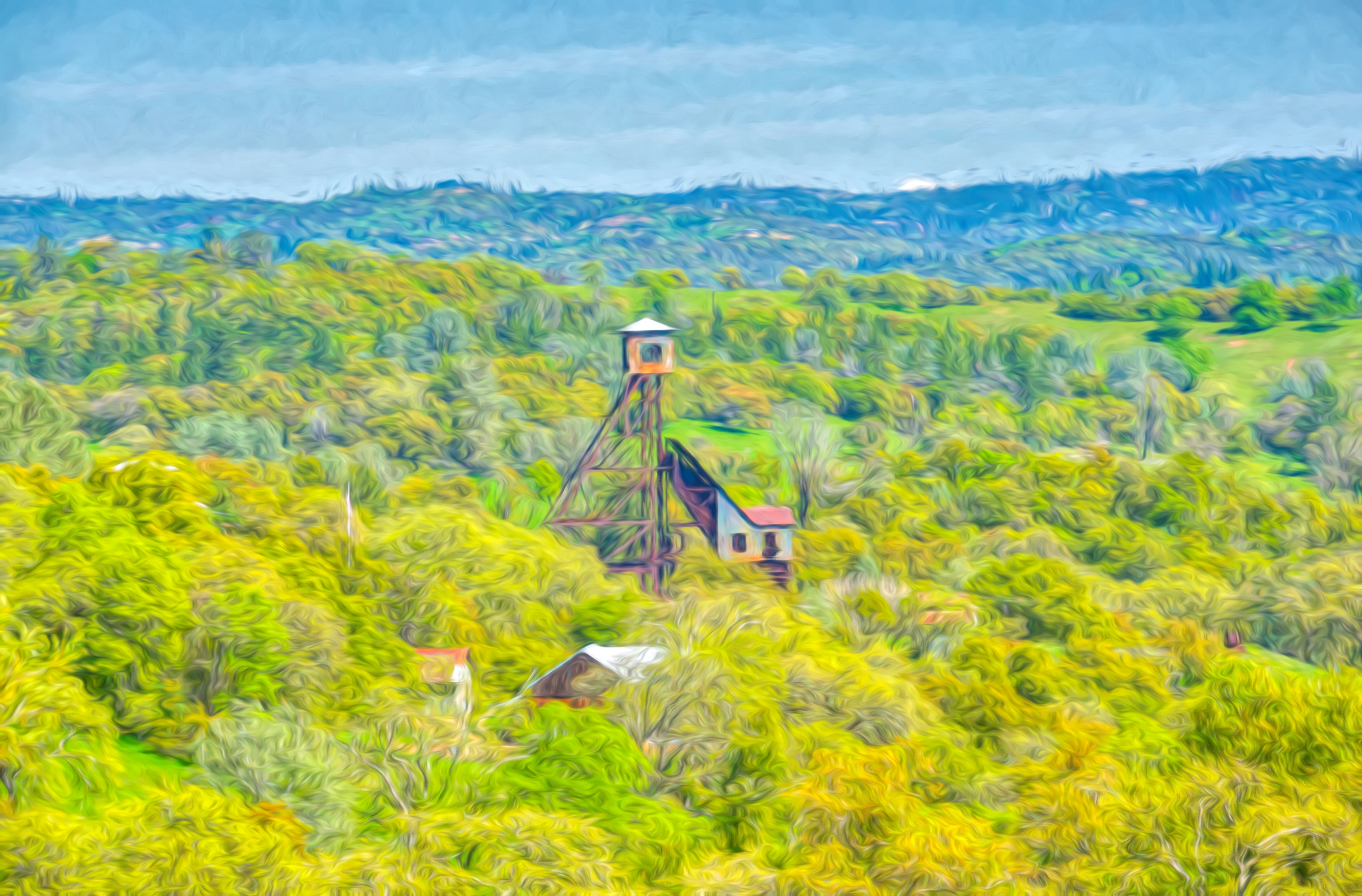
Digital watercolor Old Kennedy Gold Mine Equipment
This is the view from my grandpa's front porch. I wouldn't mind waking up to this every morning. #photooftheday
Happy Fence Friday
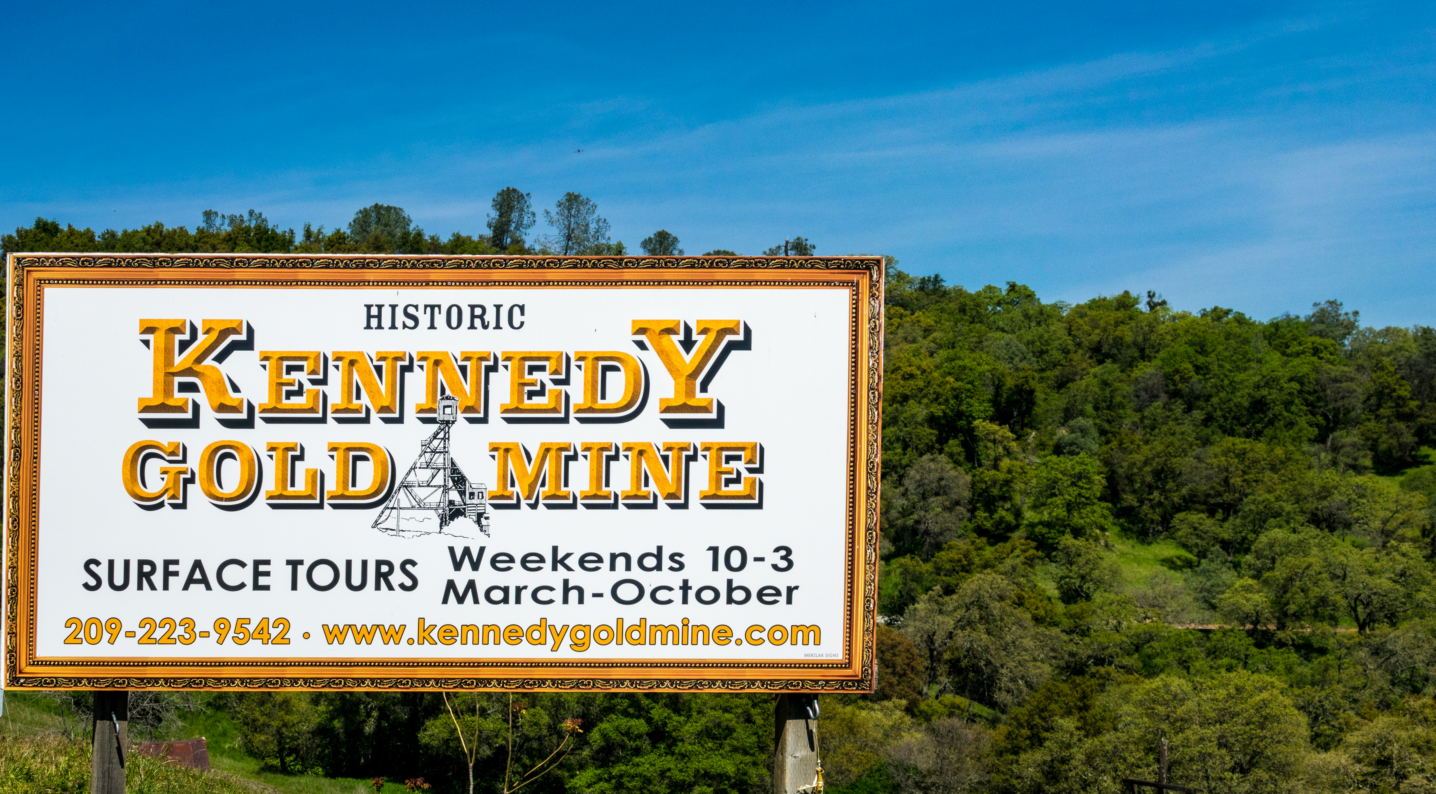
Historic Kennedy Gold Mine - Happy Sign Sunday
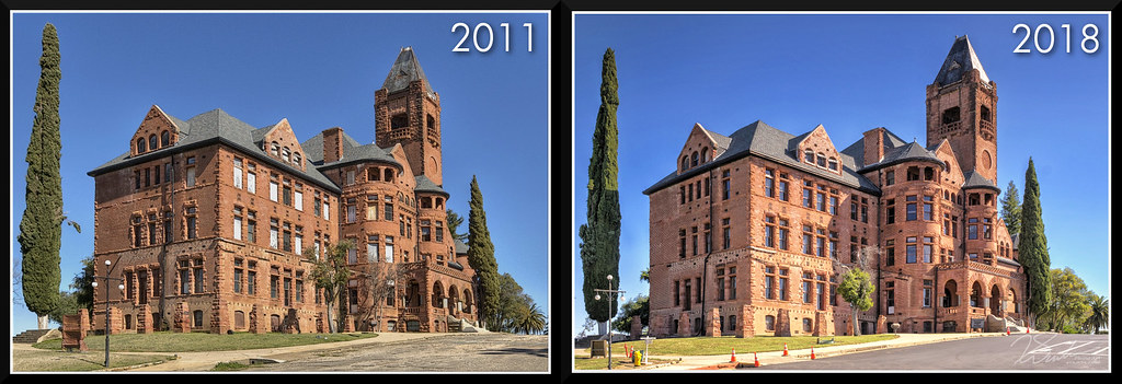
PrestonCastle-2011vs2018
From Sutter Creek***
Outside Amador City
DSC_0079-a26

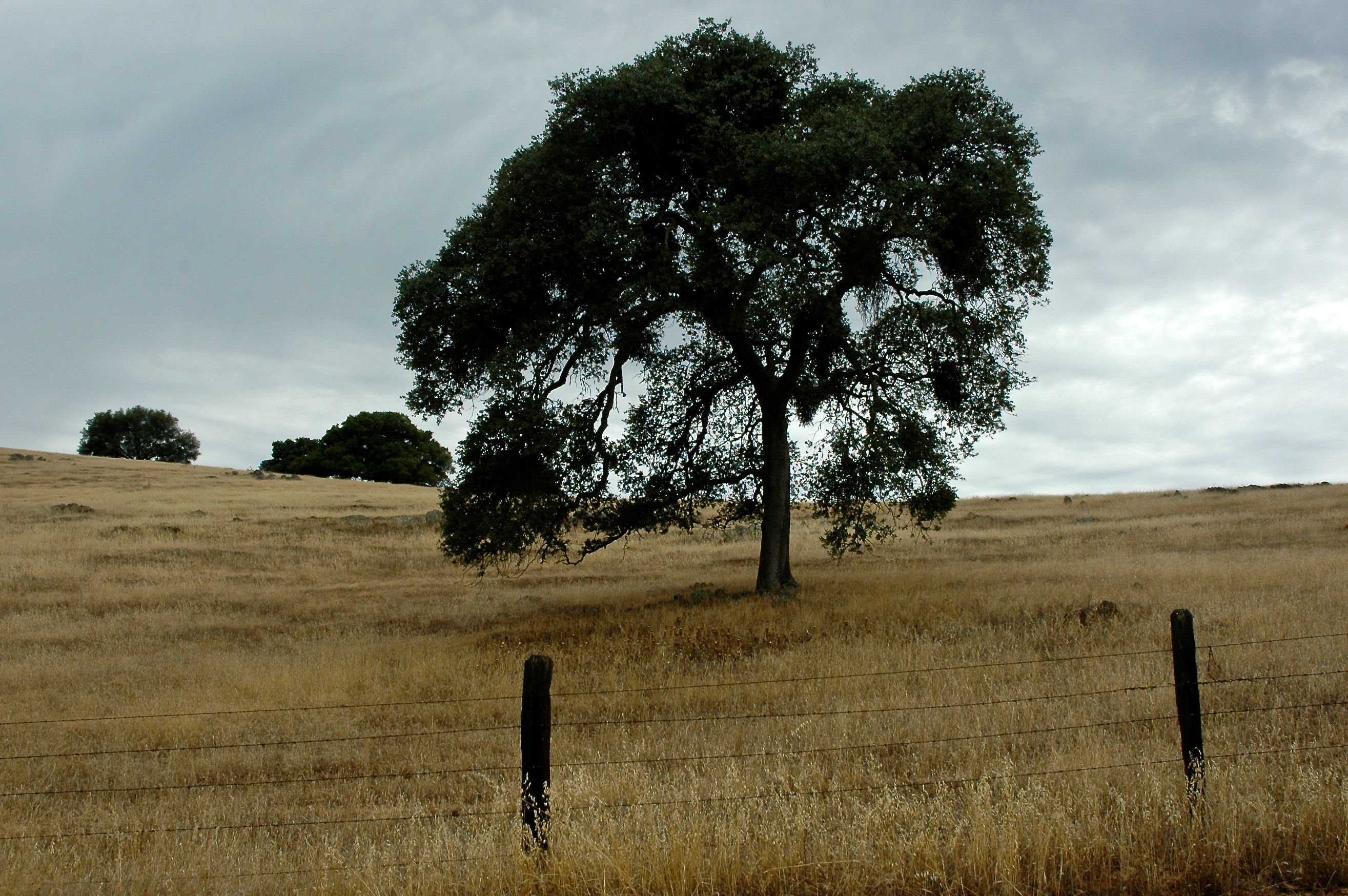
The Veins of an Oak at Sunset - Sutter Creek, CA

All the World's a Sunny Day
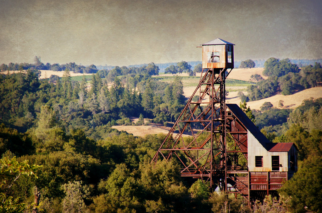
Kennedy Goldmine Headframe

The Lazy Man's Landscape
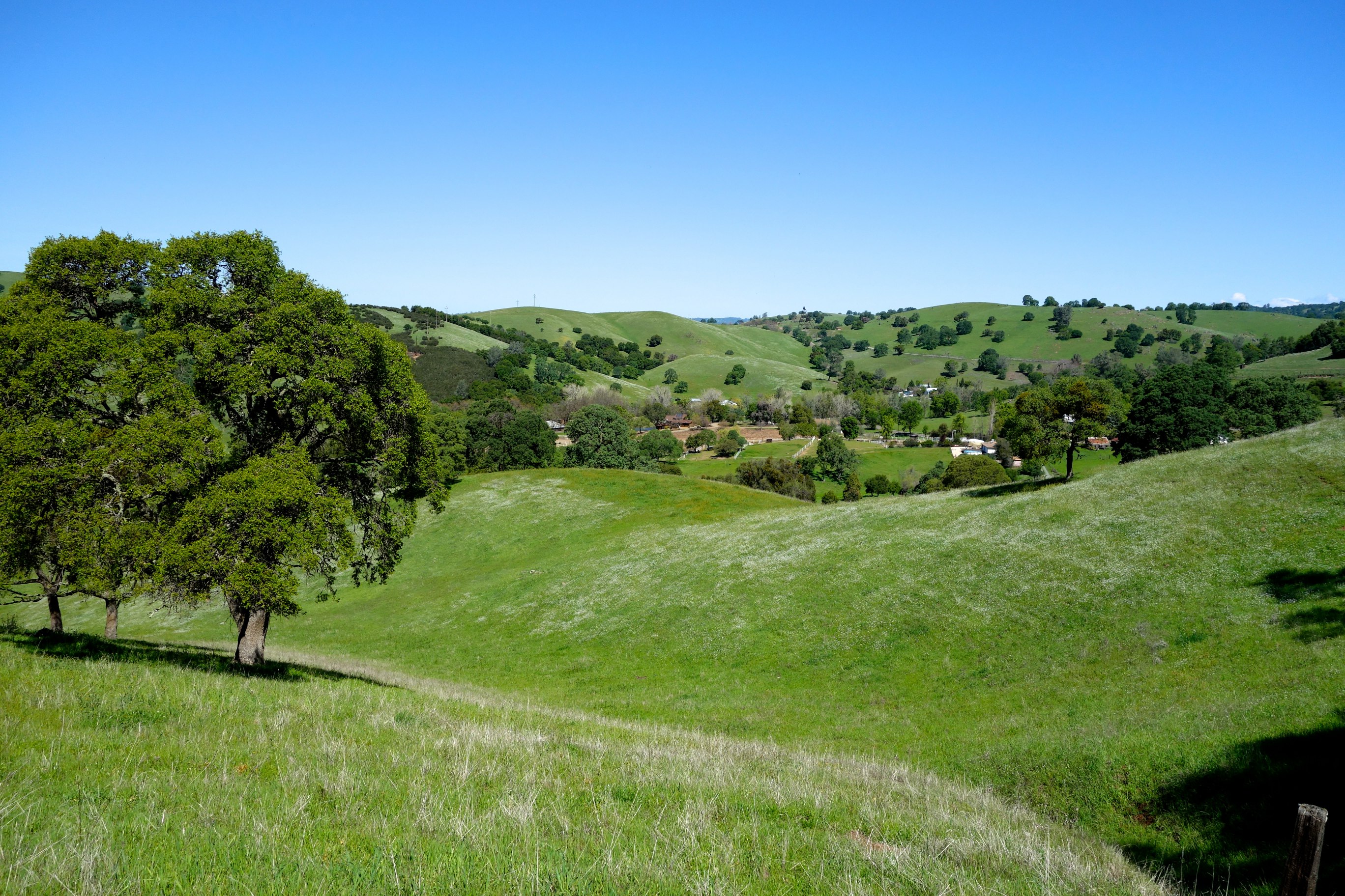
Shenendoah Valley
Kennedy Mine Tailing Wheel Park
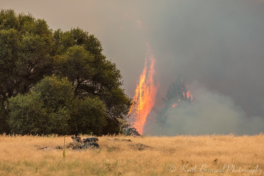
Sand Fire July 2014 © Keith Breazeal-15
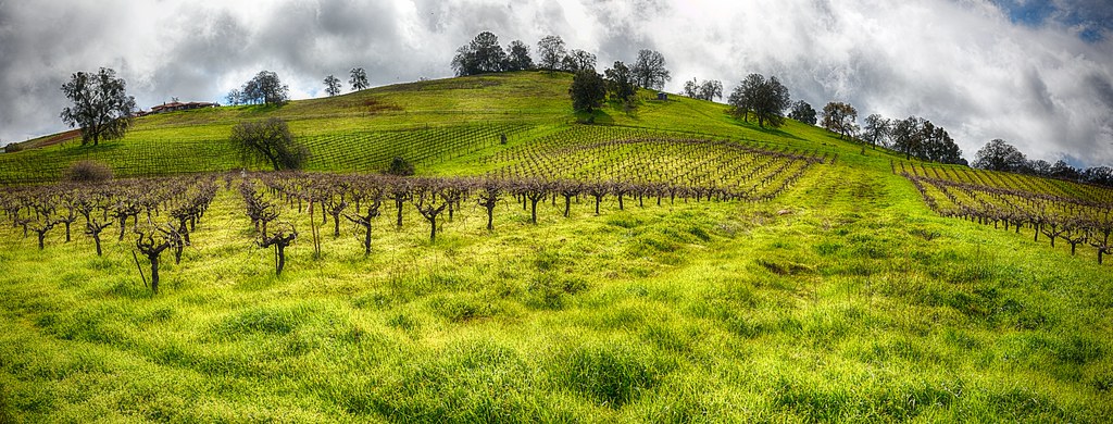
Cooper Vineyards
Gold Country
Protected by the shadows
Shenendoah Valley
2009 Cali Road Trip - 139

Ranch February 21, 2013-049

Ranch Old Swimming HoleJuly 22, 2012-082
DSCN0348-001
Amador County, California
Topographic Map of Burke Dr, Plymouth, CA, USA
Find elevation by address:

Places near Burke Dr, Plymouth, CA, USA:
Fiddletown Road & Burke Drive
Fiddletown Road & Silver Oak Lane
Plymouth
9408 Pacific St
Quartz Mountain Road North & Red Soil Lane
Saint Marys Of The Mountains Catholic Church
19021 Nugget Way
Amador County Fairgrounds
12000 Twin Pines
12667 Quartz Mountain Rd E
New Chicago Rd, Drytown, CA, USA
Spanish Street
Spanish Street
9128 St Elizabeth Ln
Drytown
15085 Turner Rd
14651 Bunker Hill Rd
Amador City
13477 Heritage Oaks Drive
36 Main St, Sutter Creek, CA, USA
Recent Searches:
- Elevation of Corso Fratelli Cairoli, 35, Macerata MC, Italy
- Elevation of Tallevast Rd, Sarasota, FL, USA
- Elevation of 4th St E, Sonoma, CA, USA
- Elevation of Black Hollow Rd, Pennsdale, PA, USA
- Elevation of Oakland Ave, Williamsport, PA, USA
- Elevation of Pedrógão Grande, Portugal
- Elevation of Klee Dr, Martinsburg, WV, USA
- Elevation of Via Roma, Pieranica CR, Italy
- Elevation of Tavkvetili Mountain, Georgia
- Elevation of Hartfords Bluff Cir, Mt Pleasant, SC, USA