Elevation of Burighat, Bangladesh
Location: Bangladesh > Chittagong Division > Rangamati Hill District >
Longitude: 92.0937396
Latitude: 22.7874806
Elevation: 49m / 161feet
Barometric Pressure: 101KPa
Elevation Map:
Satellite Map:
Related Photos:
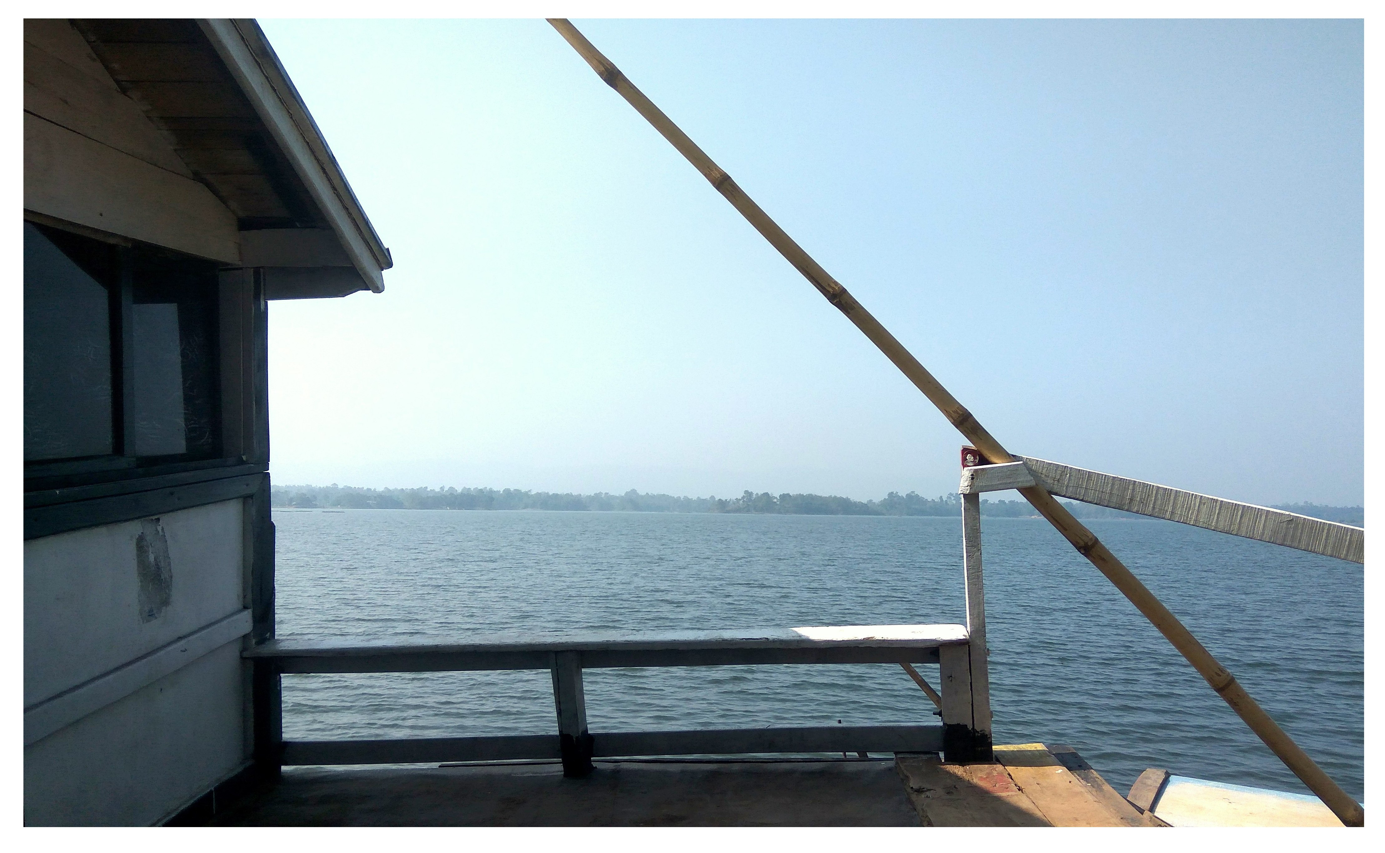
Blue Sea View, safe water conditions
একটি ছোট নৌকা
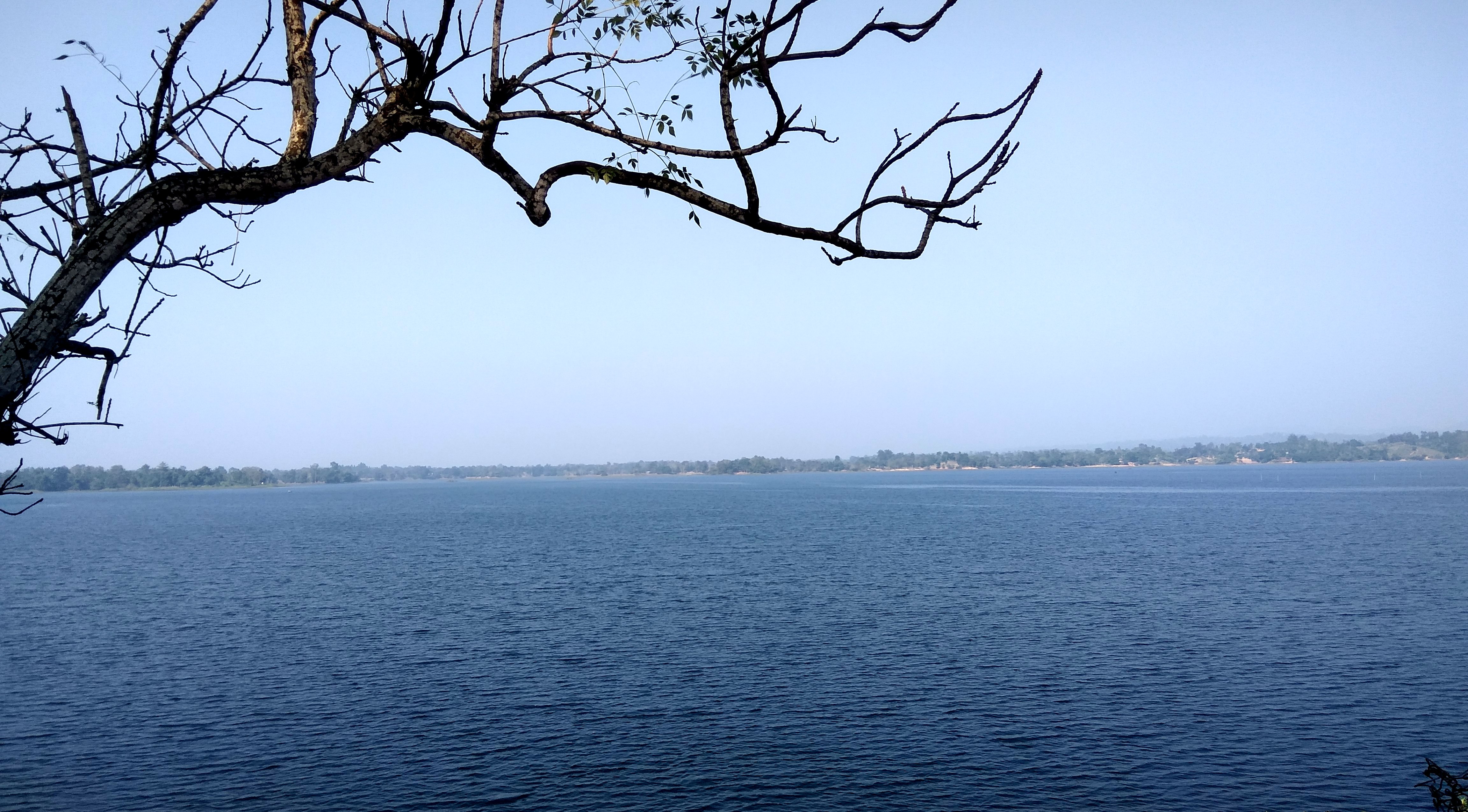
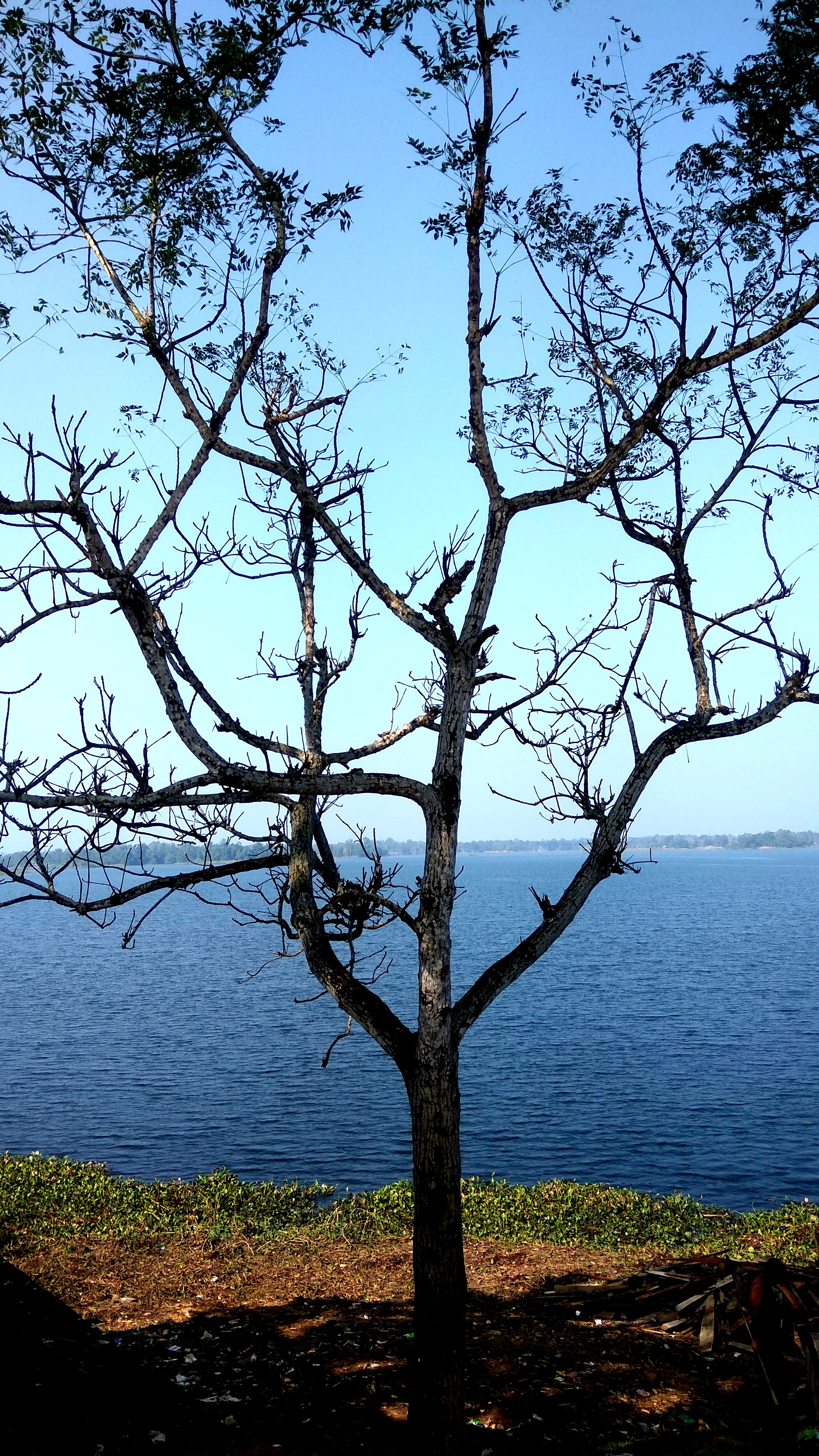
Blue Water & Tree.
Sea and Blue Sky

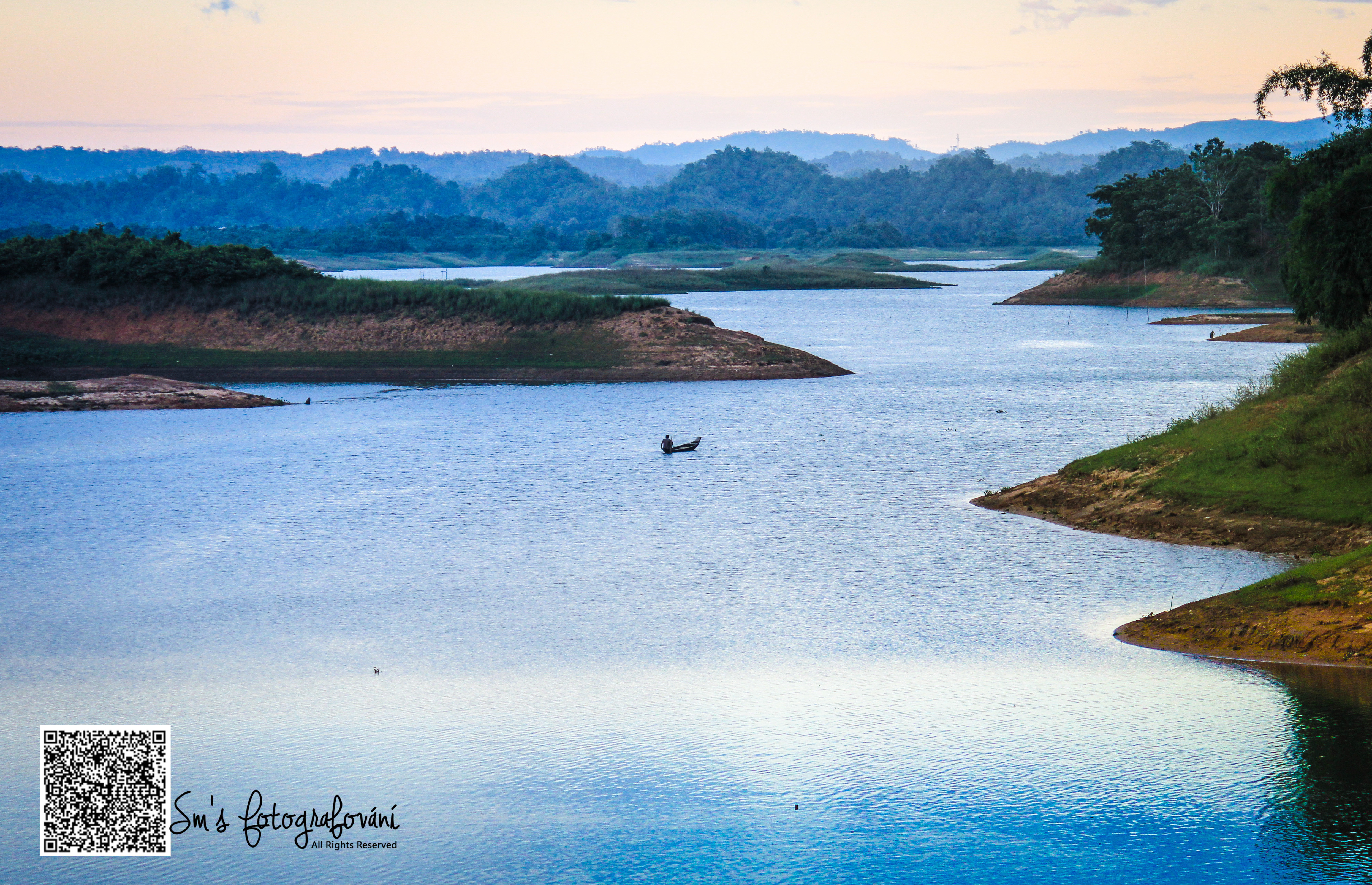
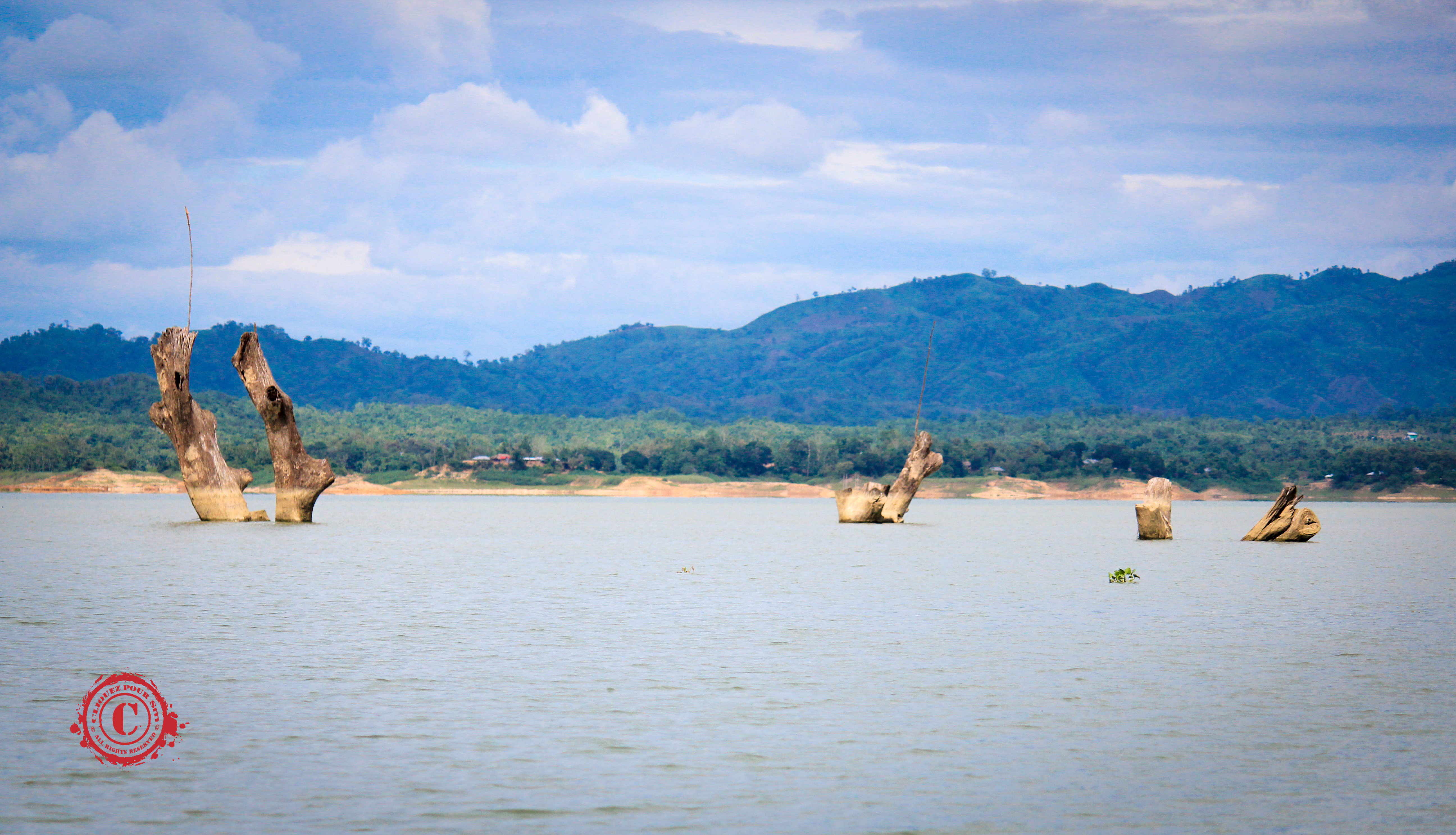
Beautiful Kaptai lake
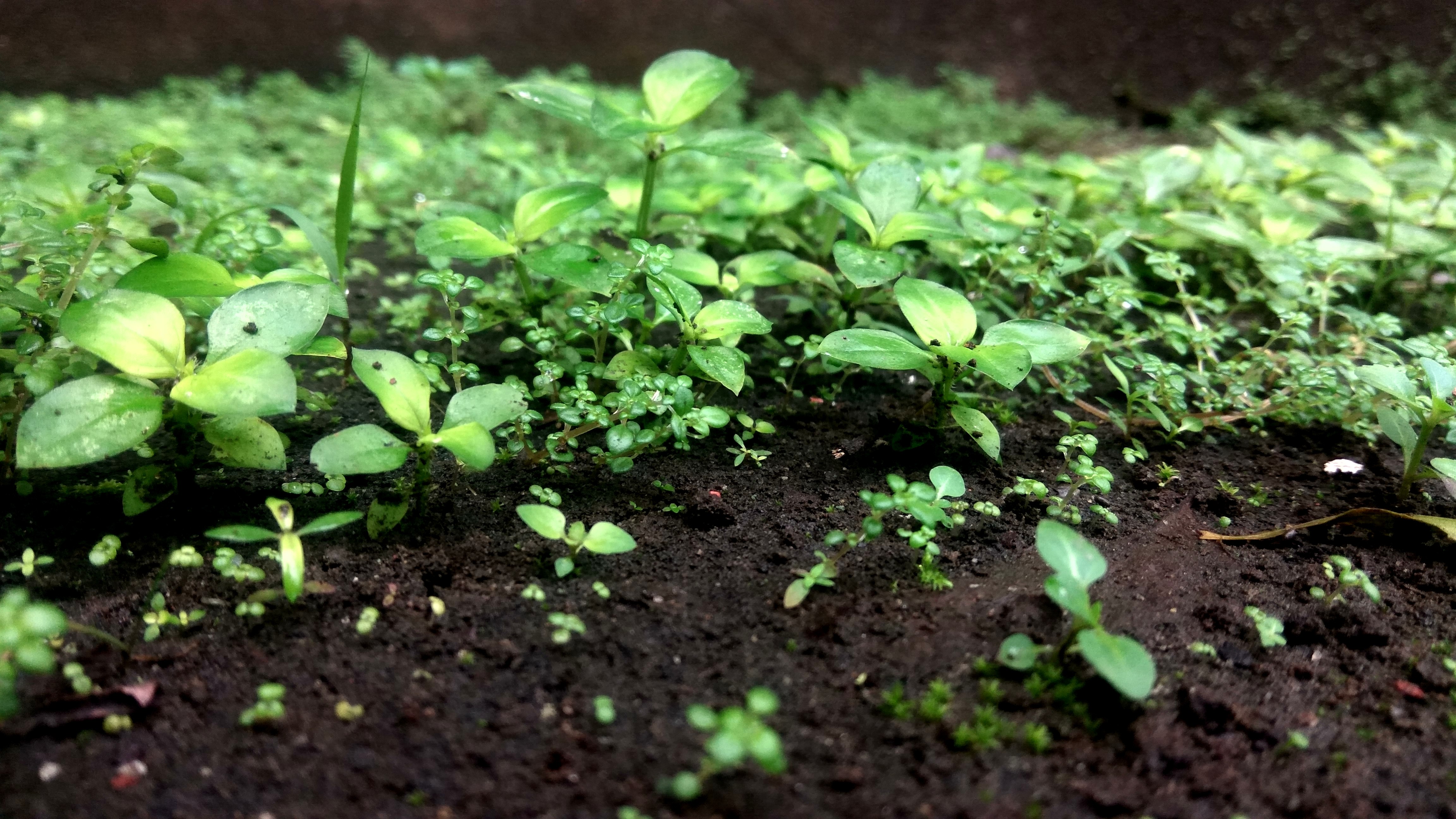
Growing up
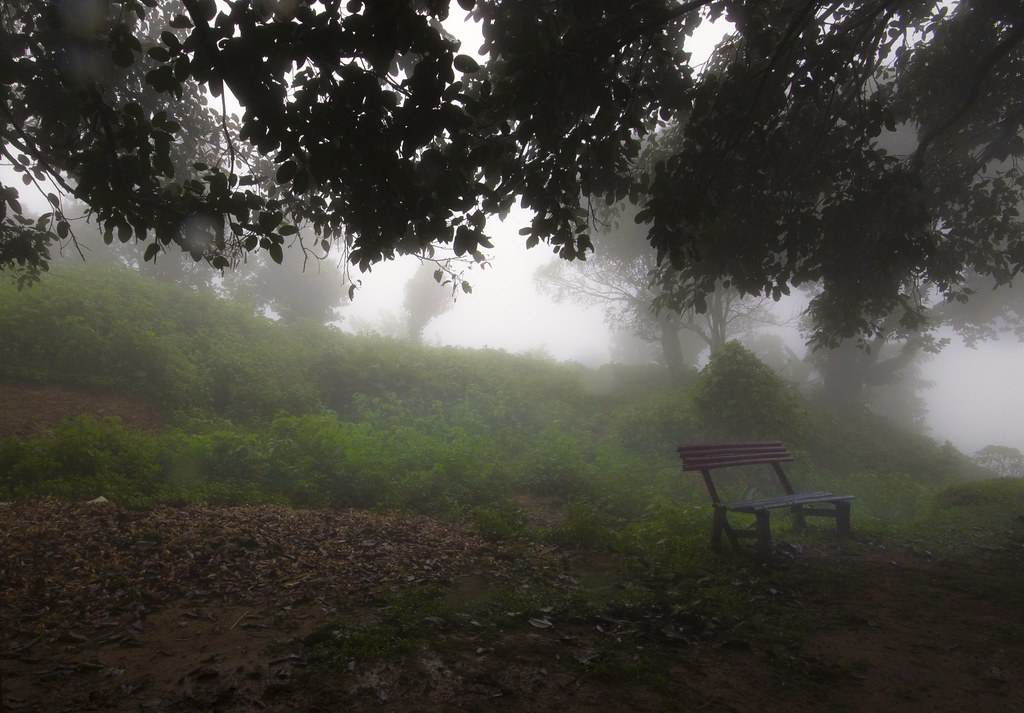
Read nature , love nature . Nature is the true friend when you are alone in this cruel world
Underwater city
Topographic Map of Burighat, Bangladesh
Find elevation by address:

Places near Burighat, Bangladesh:
Naniarchar
Chittagong Division
Sapchhari
Janata Bank Limited
Rangamati
Kattoli Bazar
Rangamati Sadar Upazila
Bhasanya Adam (block)
Langadu Upazila
Rangamati Hill District
Chandraghona
Kaptai Kayak Club
Khagrachhari
Khagrachari District
Chittagong
Bortakia Bazar
Mirsharai
Chawngte
Nalua Bazar
Rajnagar
Recent Searches:
- Elevation of Corso Fratelli Cairoli, 35, Macerata MC, Italy
- Elevation of Tallevast Rd, Sarasota, FL, USA
- Elevation of 4th St E, Sonoma, CA, USA
- Elevation of Black Hollow Rd, Pennsdale, PA, USA
- Elevation of Oakland Ave, Williamsport, PA, USA
- Elevation of Pedrógão Grande, Portugal
- Elevation of Klee Dr, Martinsburg, WV, USA
- Elevation of Via Roma, Pieranica CR, Italy
- Elevation of Tavkvetili Mountain, Georgia
- Elevation of Hartfords Bluff Cir, Mt Pleasant, SC, USA