Elevation of Burbank, Hayward, CA, USA
Location: United States > California > Alameda County > Hayward >
Longitude: -122.09368
Latitude: 37.6651179
Elevation: 24m / 79feet
Barometric Pressure: 101KPa
Elevation Map:
Satellite Map:
Related Photos:

Almost got it! ~ Cedar Waxwing (Bombycilla cedrorum)

White-tailed Kite (Elanus leucurus) (sp. # 186)

Bushtit / American Bushtit (Psaltriparus minimus) (sp. # 182)

Hillcrest 20170718

In the middle of grass
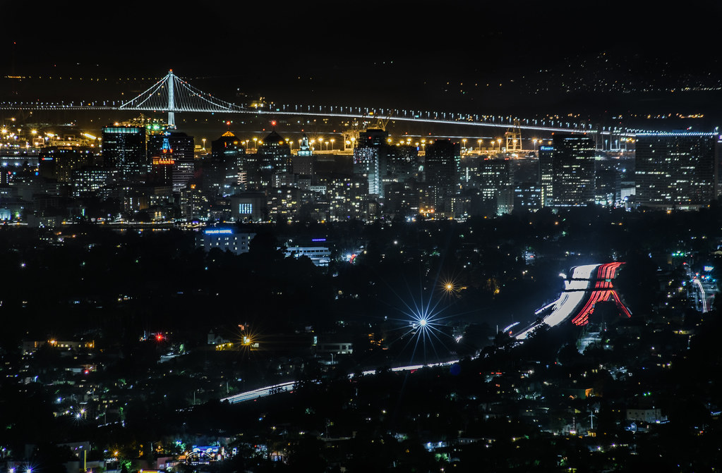
mills skyline

San Francisco from Alameda Creek, Fremont

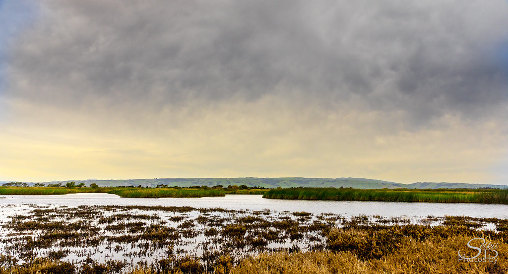
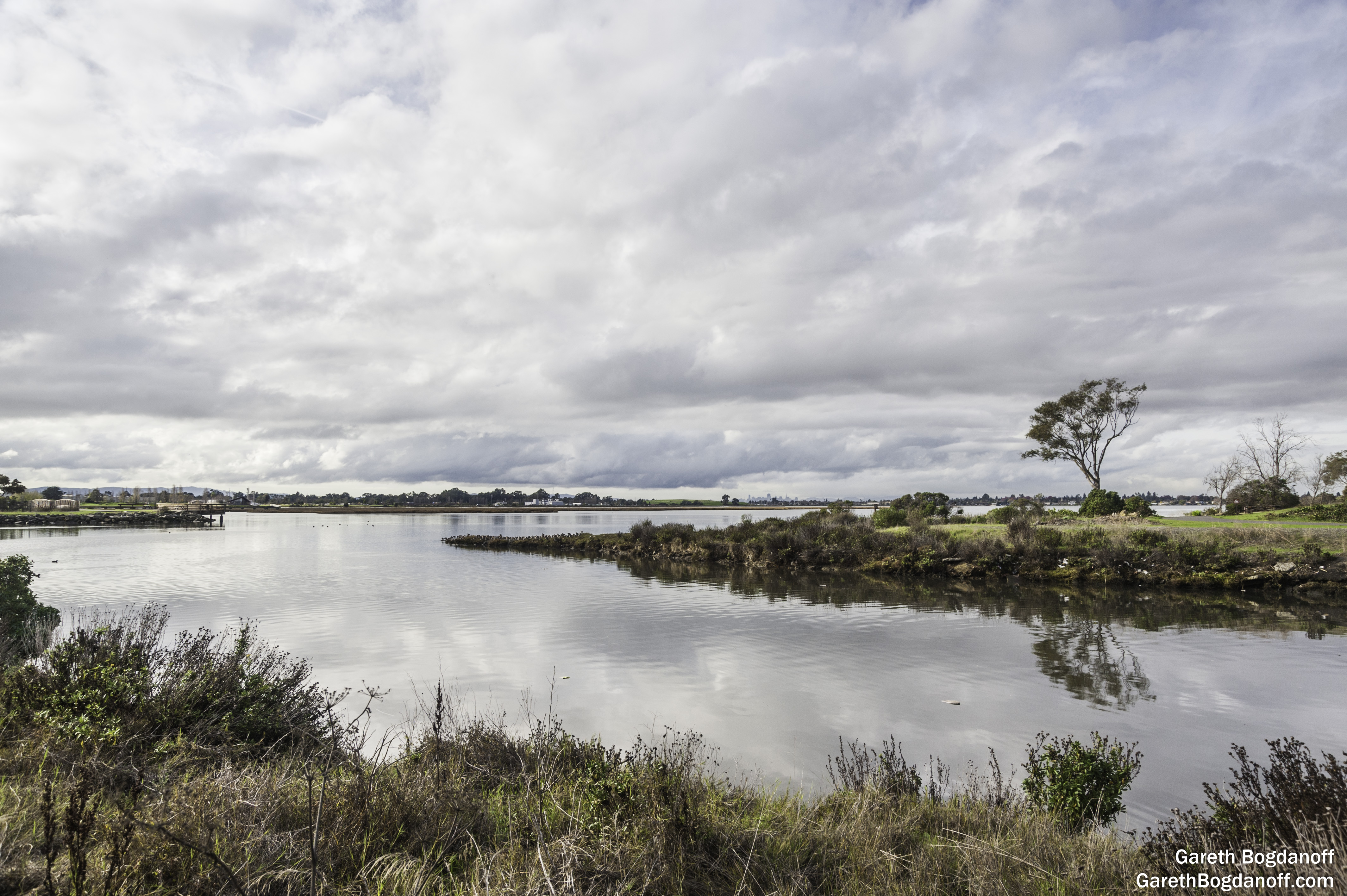
East Creek Slough

Fluorescein Dye

Barn Swallow

I've been to
JA Lewis Park 20150326
Empty seats at the stadium
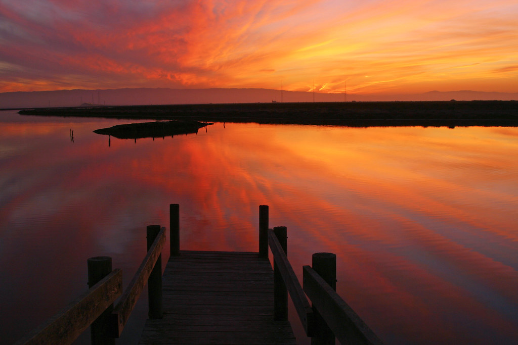
Air and water, charging on!
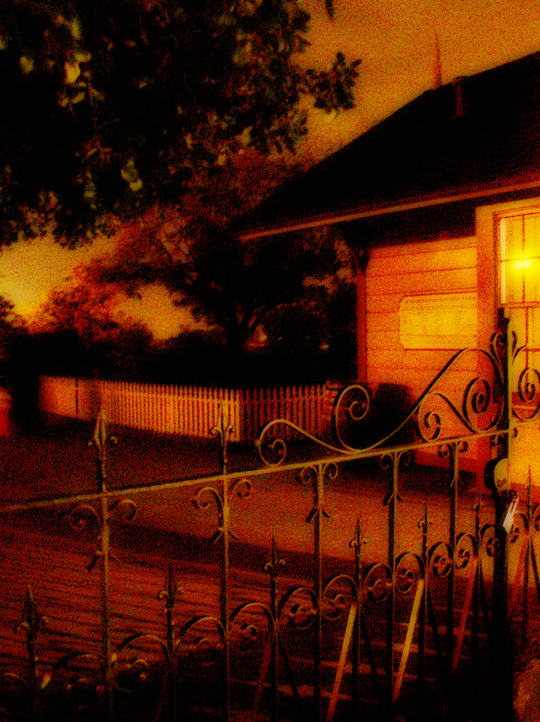
do you dare venture beyond?
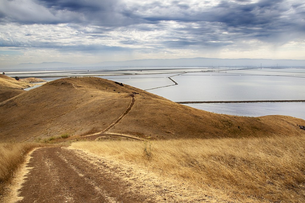
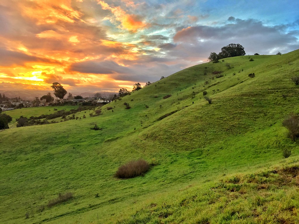
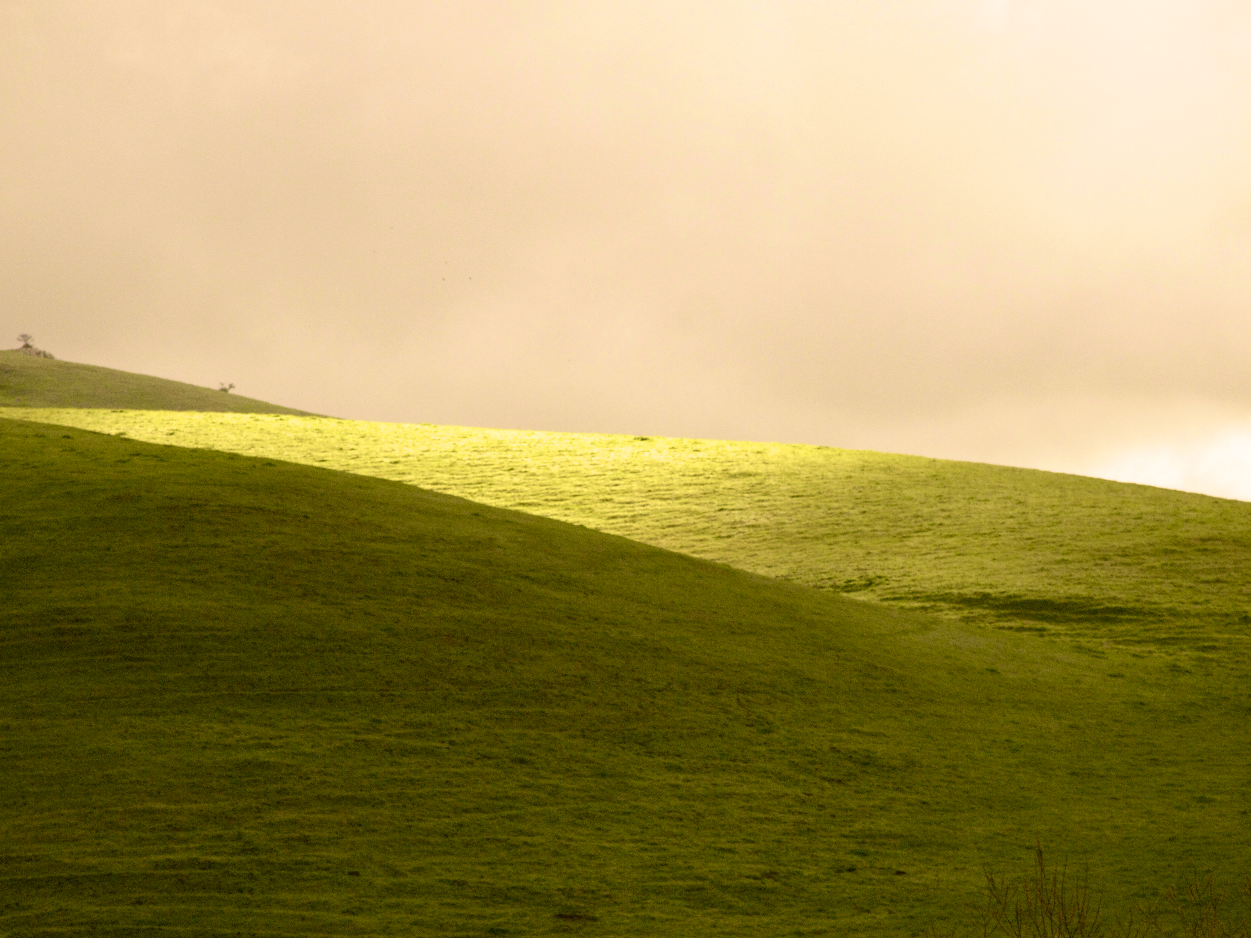
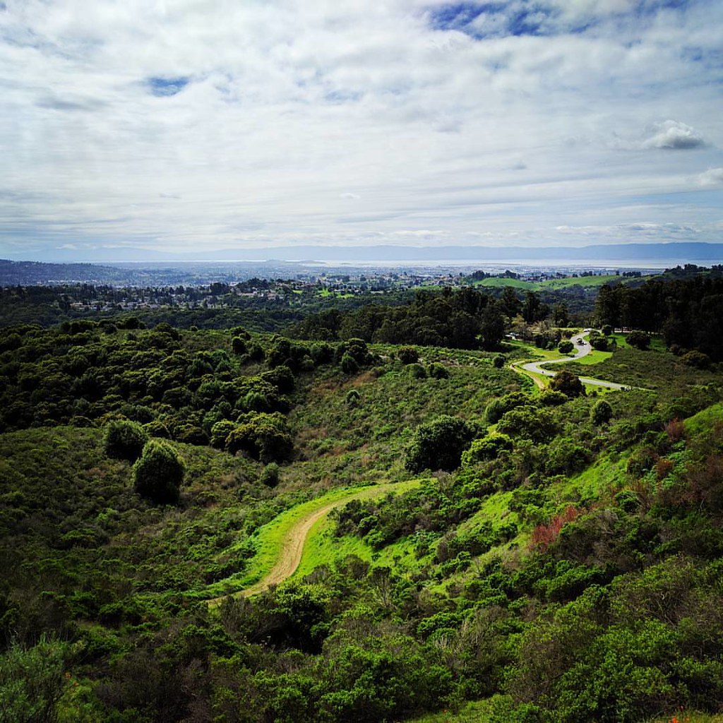
Golden Hills

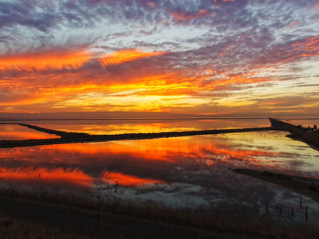
Old Salt Works

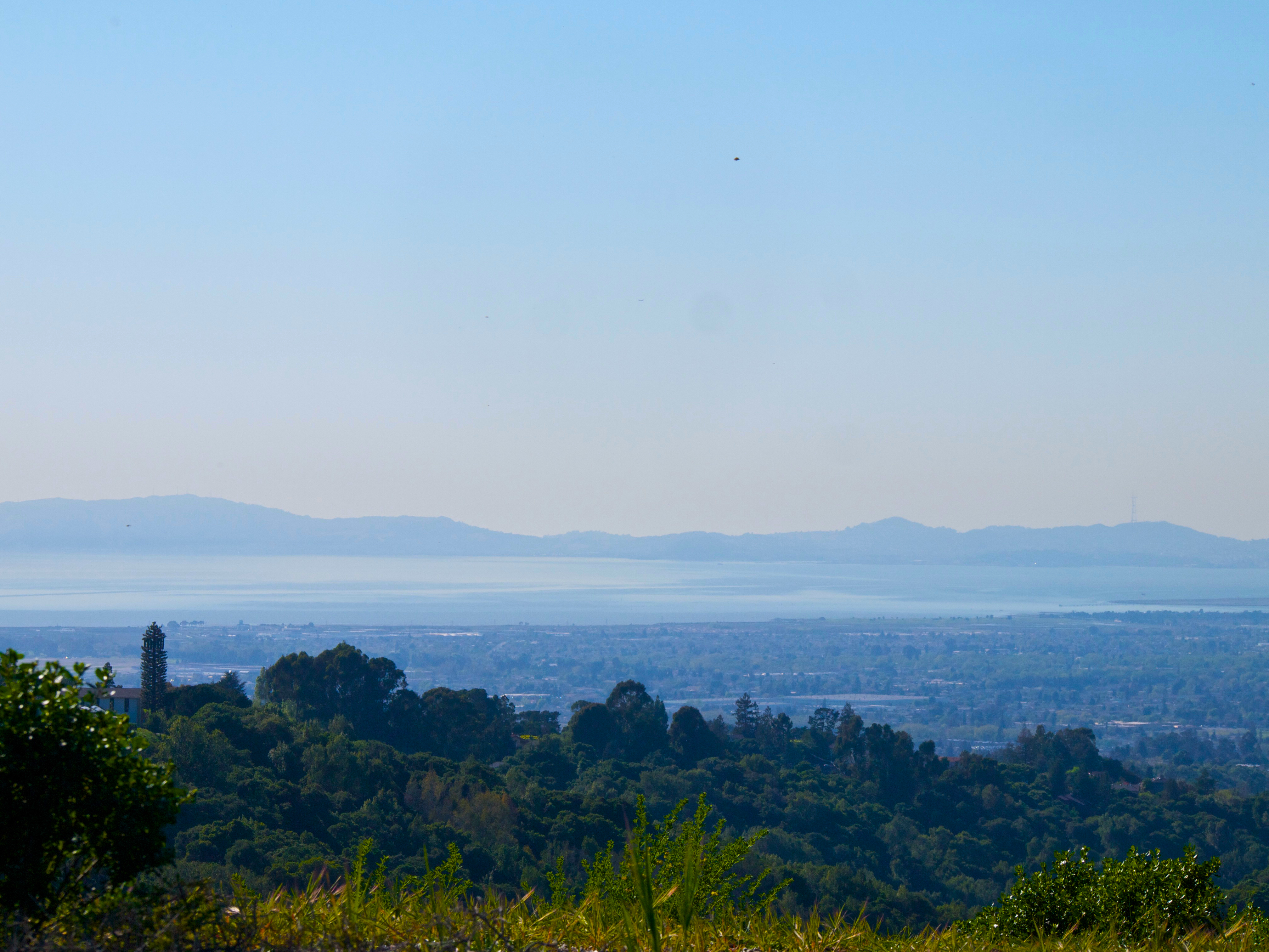
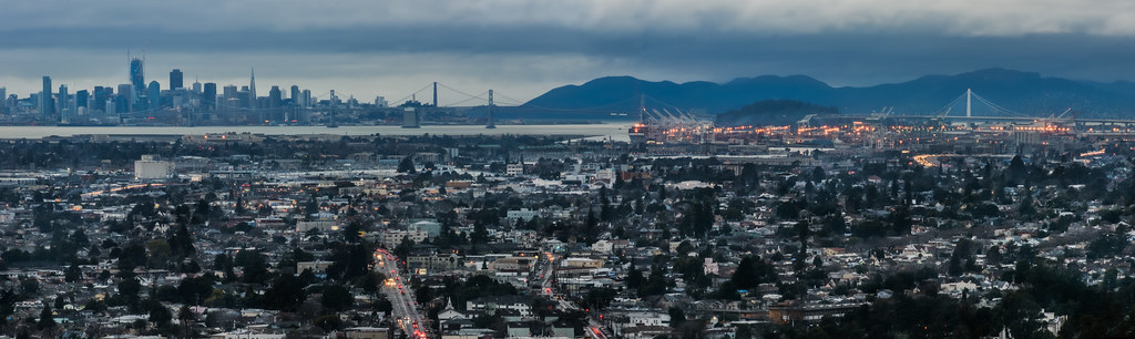
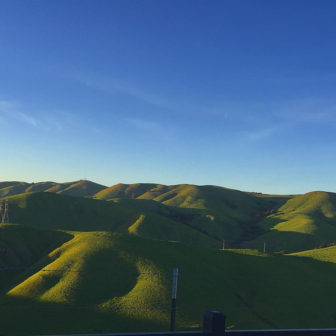
Night View of Tri-Valley

'out of nowhere'
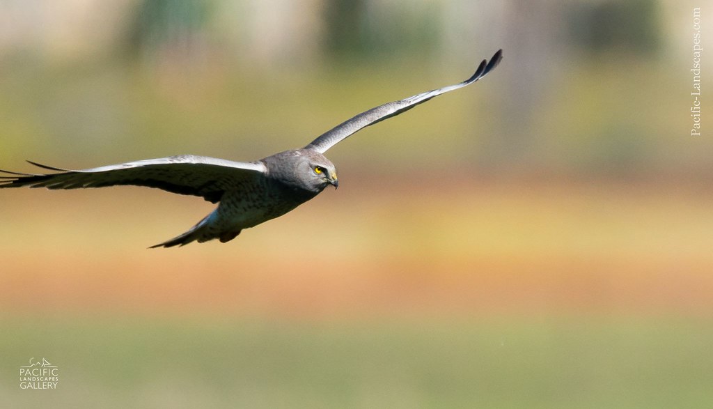
Gray Ghost in Flight
king estate stormy sky panorama
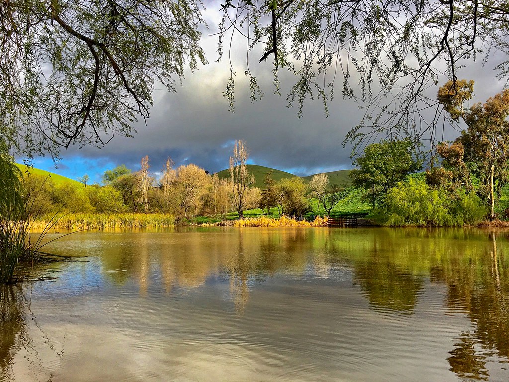
Lake Chabot
rain and sun alternating
Lake Chabot
Lake Chabot
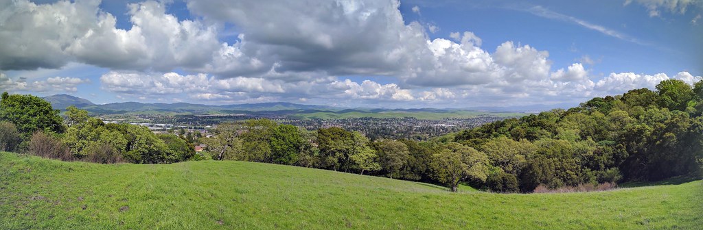
IMG_20170325_150349-PANO
Garin 20150227

Garin Regional Park
Coyote Hills Regional Preserve
Something about these hills...remind me of Shrek.

Mustard field
San Leandro Bay
Chabot Park
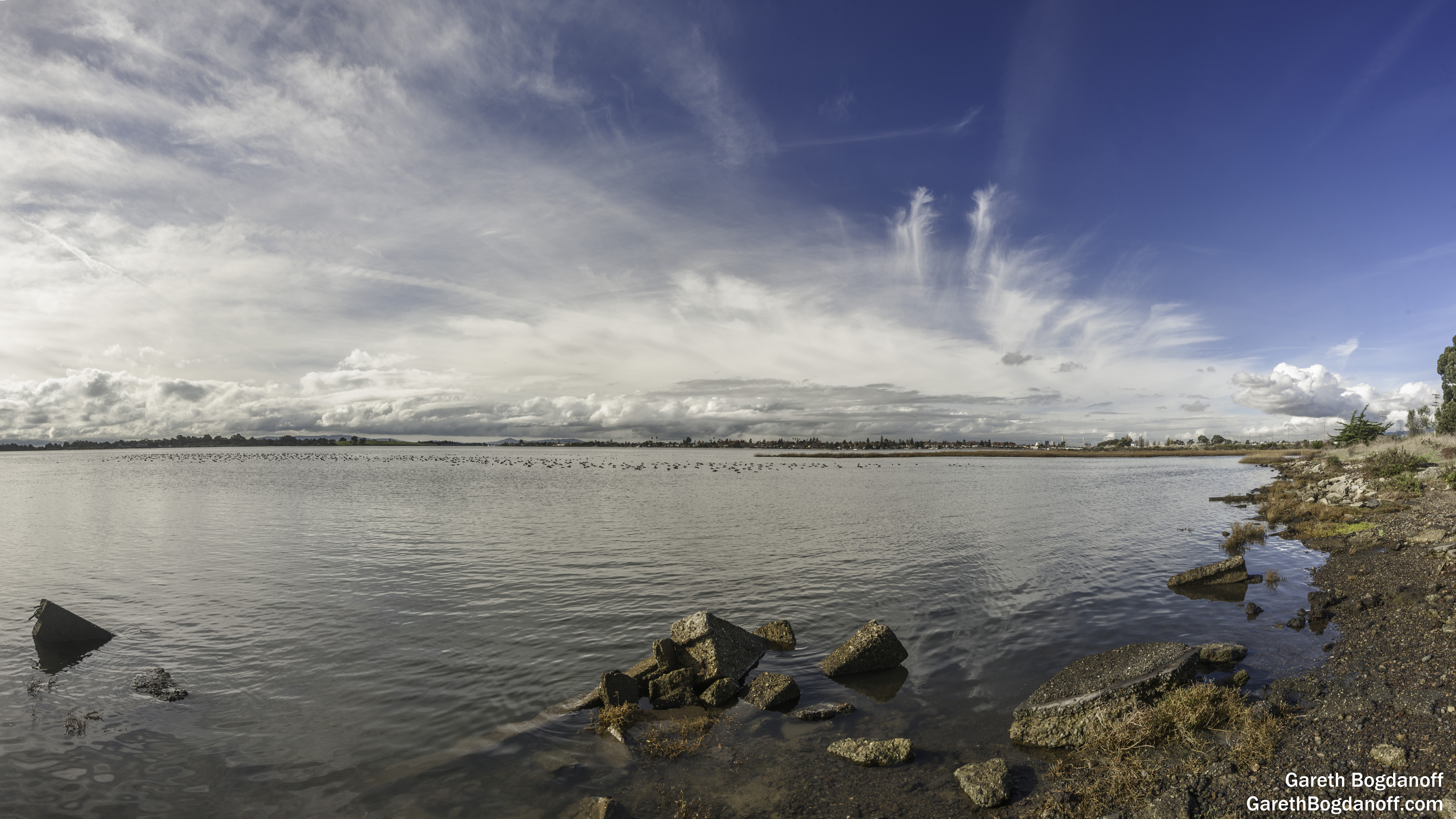
San Leandro Bay

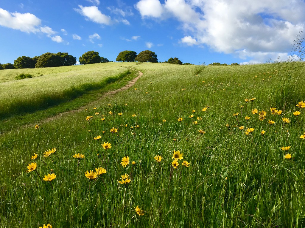
Trail to the Yellow Flowers
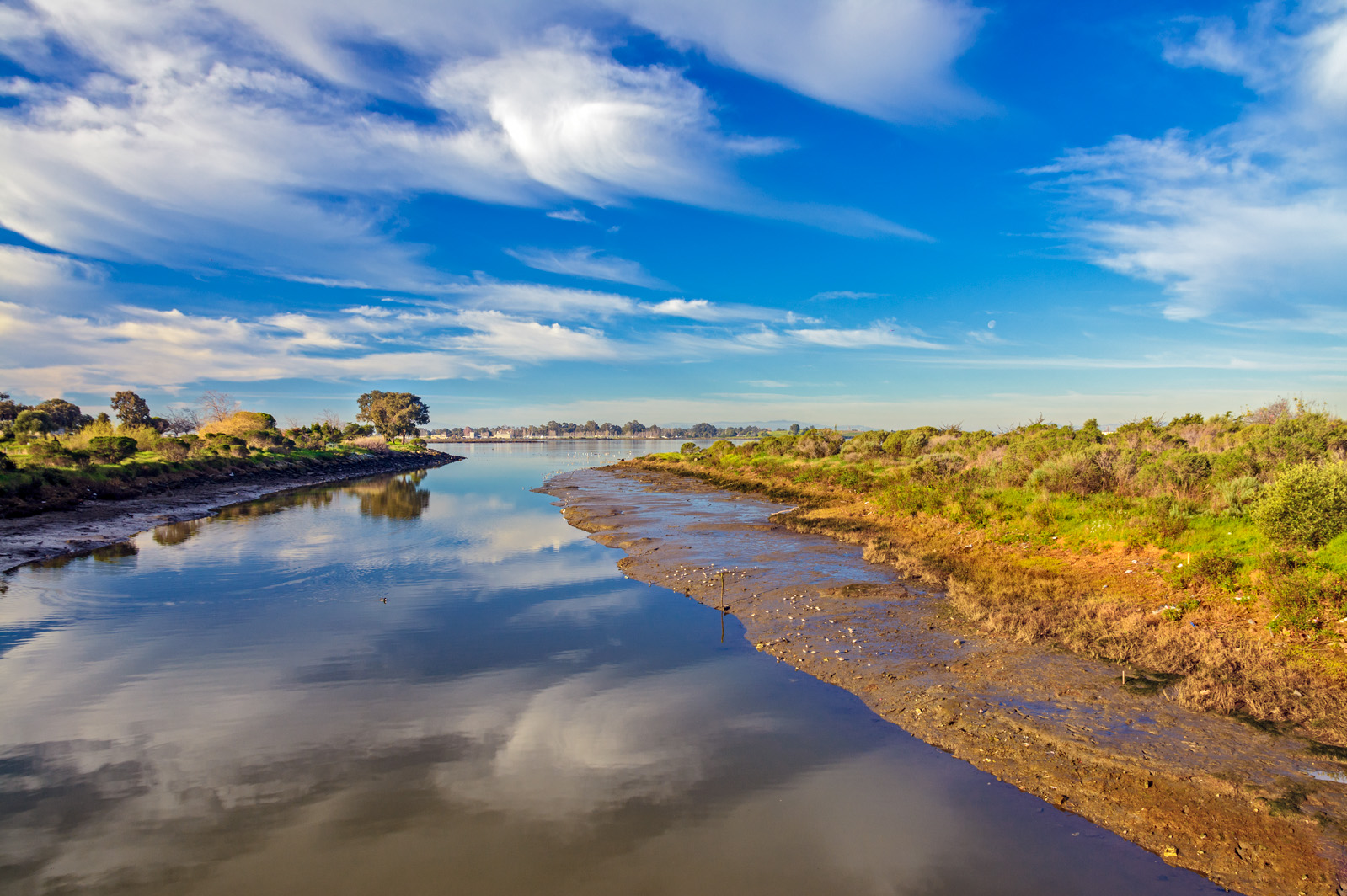
Damon Slough - Eastbay Regional Park District
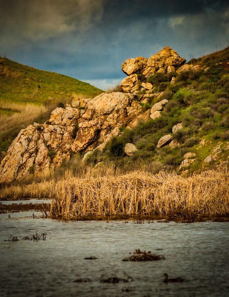
Lizard Rock in Afternoon Light._
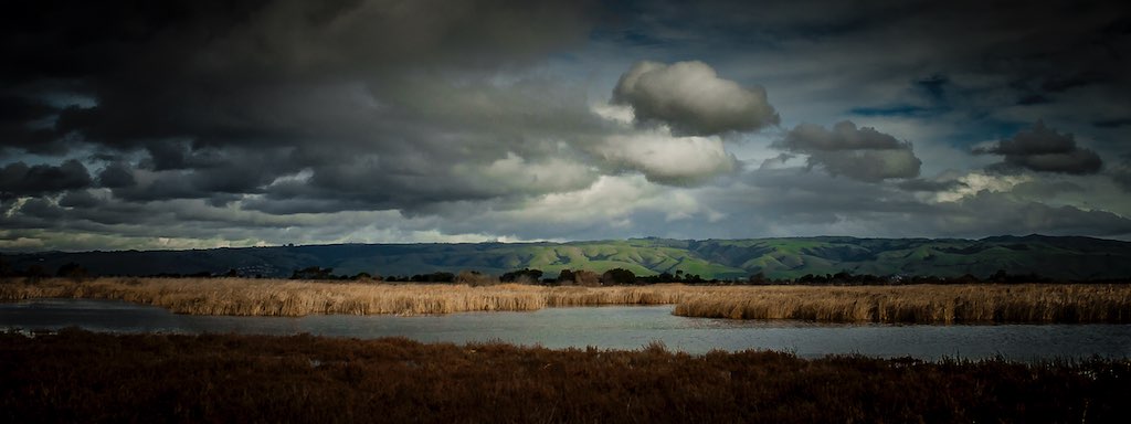
Coyoto Hils Marsh No3
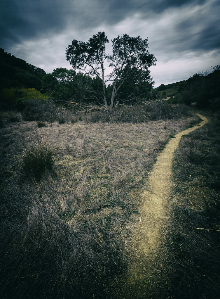
Grass Valley Trail
No Name Trail
Topographic Map of Burbank, Hayward, CA, USA
Find elevation by address:

Places in Burbank, Hayward, CA, USA:
Places near Burbank, Hayward, CA, USA:
319 Williams Way
159 Smalley Ave
22416 Meekland Ave
22284 Montgomery St
280 W A St
Watkins Street
Hayward
24445 Alves St
North Hayward
Blossom Way, Hayward, CA, USA
Cherryland
Gribben Avenue
20802 Cambridge Ave
20800 Mission Blvd
21490 Hesperian Blvd
20459 John Dr
18350 Hesperian Blvd
2449 Riffel Ct
Castro Valley
19825 John Dr
Recent Searches:
- Elevation of Corso Fratelli Cairoli, 35, Macerata MC, Italy
- Elevation of Tallevast Rd, Sarasota, FL, USA
- Elevation of 4th St E, Sonoma, CA, USA
- Elevation of Black Hollow Rd, Pennsdale, PA, USA
- Elevation of Oakland Ave, Williamsport, PA, USA
- Elevation of Pedrógão Grande, Portugal
- Elevation of Klee Dr, Martinsburg, WV, USA
- Elevation of Via Roma, Pieranica CR, Italy
- Elevation of Tavkvetili Mountain, Georgia
- Elevation of Hartfords Bluff Cir, Mt Pleasant, SC, USA