Elevation of Burambal, Maharashtra, India
Location: India > Maharashtra > Kolhapur >
Longitude: 73.8948295
Latitude: 16.8273125
Elevation: 741m / 2431feet
Barometric Pressure: 93KPa
Elevation Map:
Satellite Map:
Related Photos:

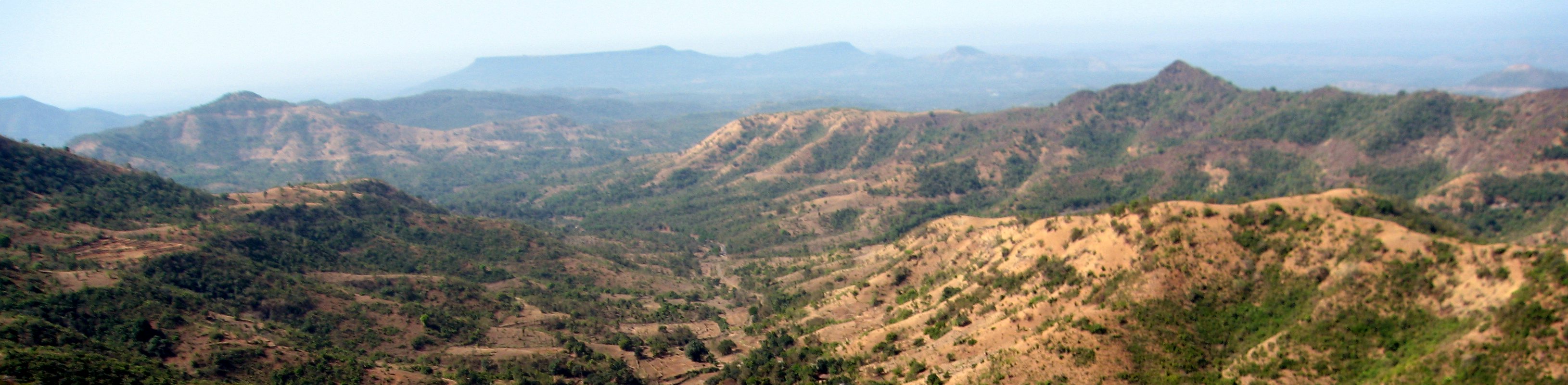
... a view from Kokan Kada point

... a view from Kokan Kada point

... a view from Kokan Kada point

... viewing Sakharpa town (at far end)

... viewing Kasari Reservoir

... the Pawan Khind

Along India's National Highway 204

... flowers of grass

Along India's National Highway 204

... the Pawan Khind

Along India's National Highway 204

... bridge over Kasari River
Along India's National Highway 204

... towards Kemburne Wadi
Topographic Map of Burambal, Maharashtra, India
Find elevation by address:

Places near Burambal, Maharashtra, India:
Panundre
Kante
Shirale Tarf Malkapur
Karanjfen
Yelwan Jugai
Ambarde
Barki
Parkhandale
Patpanhala
Kelewadi
Undri
Desaiwadi
Porle Tarf Borgaon
Porle T.borgaon
Bajar Bhogaon
Shittur Tarf Malkapur
Kisrul
Bandivade
Borgaon
Nanundre
Recent Searches:
- Elevation of Corso Fratelli Cairoli, 35, Macerata MC, Italy
- Elevation of Tallevast Rd, Sarasota, FL, USA
- Elevation of 4th St E, Sonoma, CA, USA
- Elevation of Black Hollow Rd, Pennsdale, PA, USA
- Elevation of Oakland Ave, Williamsport, PA, USA
- Elevation of Pedrógão Grande, Portugal
- Elevation of Klee Dr, Martinsburg, WV, USA
- Elevation of Via Roma, Pieranica CR, Italy
- Elevation of Tavkvetili Mountain, Georgia
- Elevation of Hartfords Bluff Cir, Mt Pleasant, SC, USA