Elevation of Bungabong, Maguindanao, Philippines
Location: Philippines > Autonomous Region In Muslim Mindanao > Maguindanao >
Longitude: 124.339364
Latitude: 7.3169049
Elevation: 54m / 177feet
Barometric Pressure: 101KPa
Elevation Map:
Satellite Map:
Related Photos:
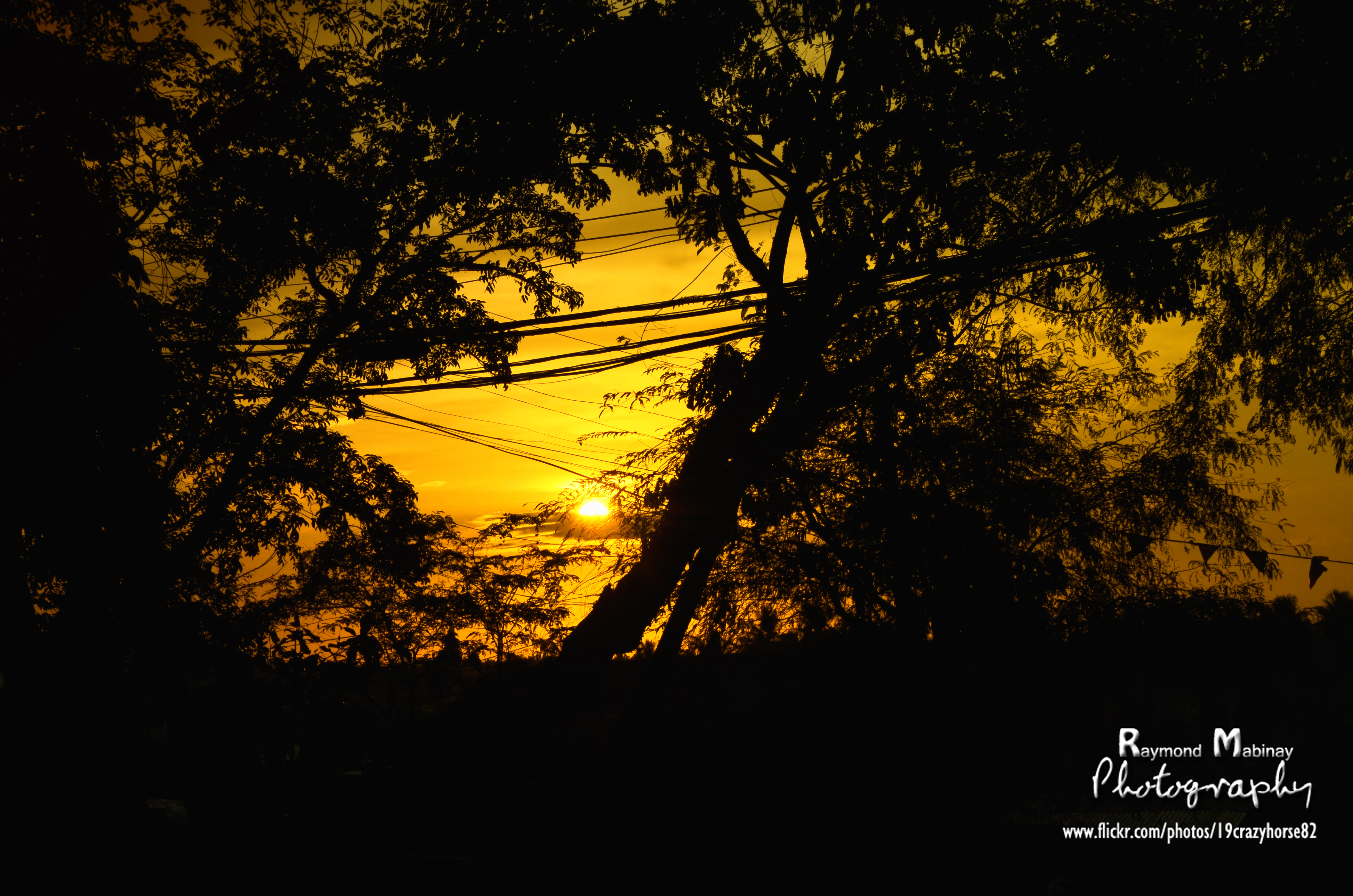
Sunset in Cotabato City, Philippines
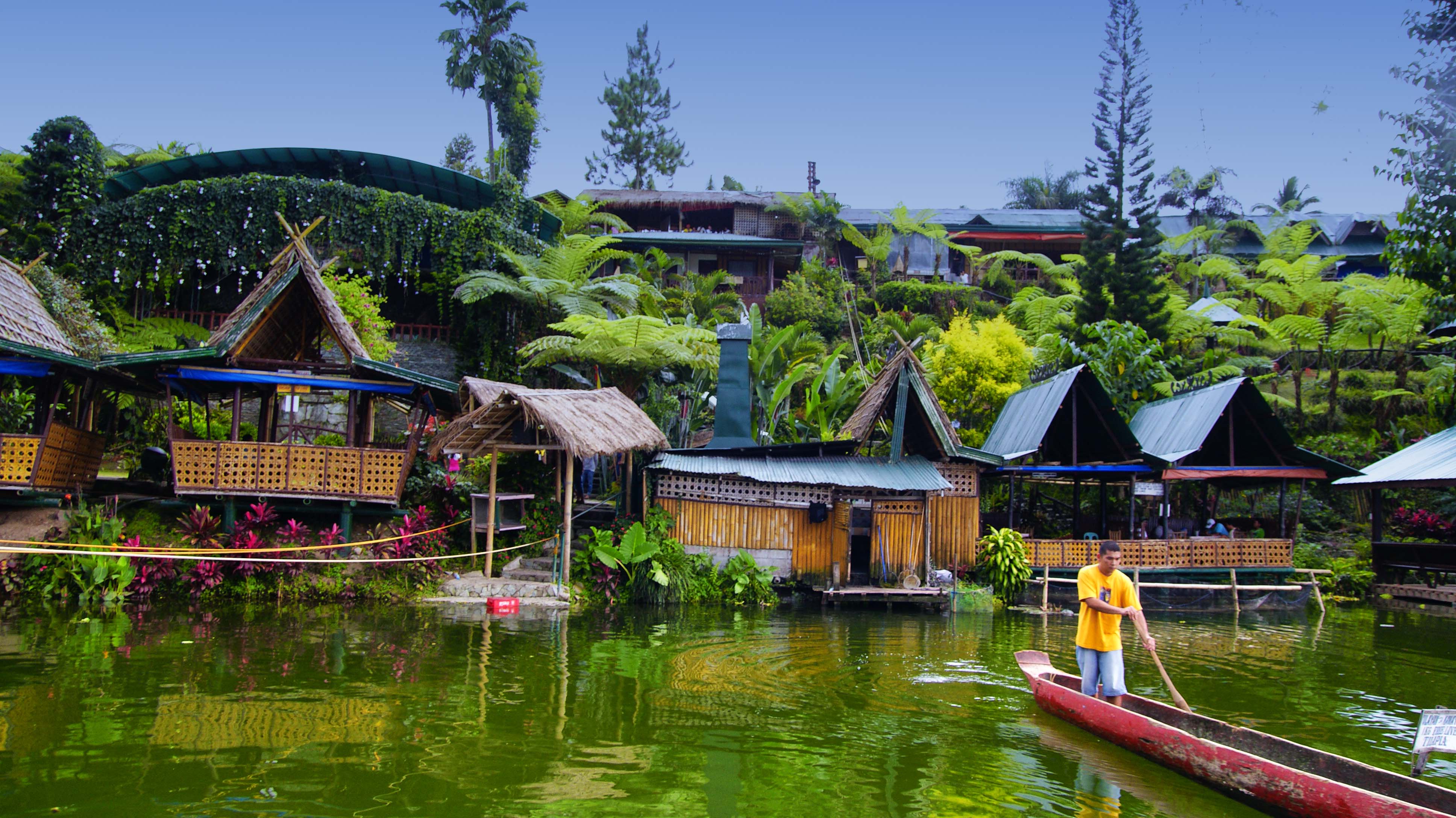
Lake Sebu, Nth Cotabato, Philippines

Tamontaka sights
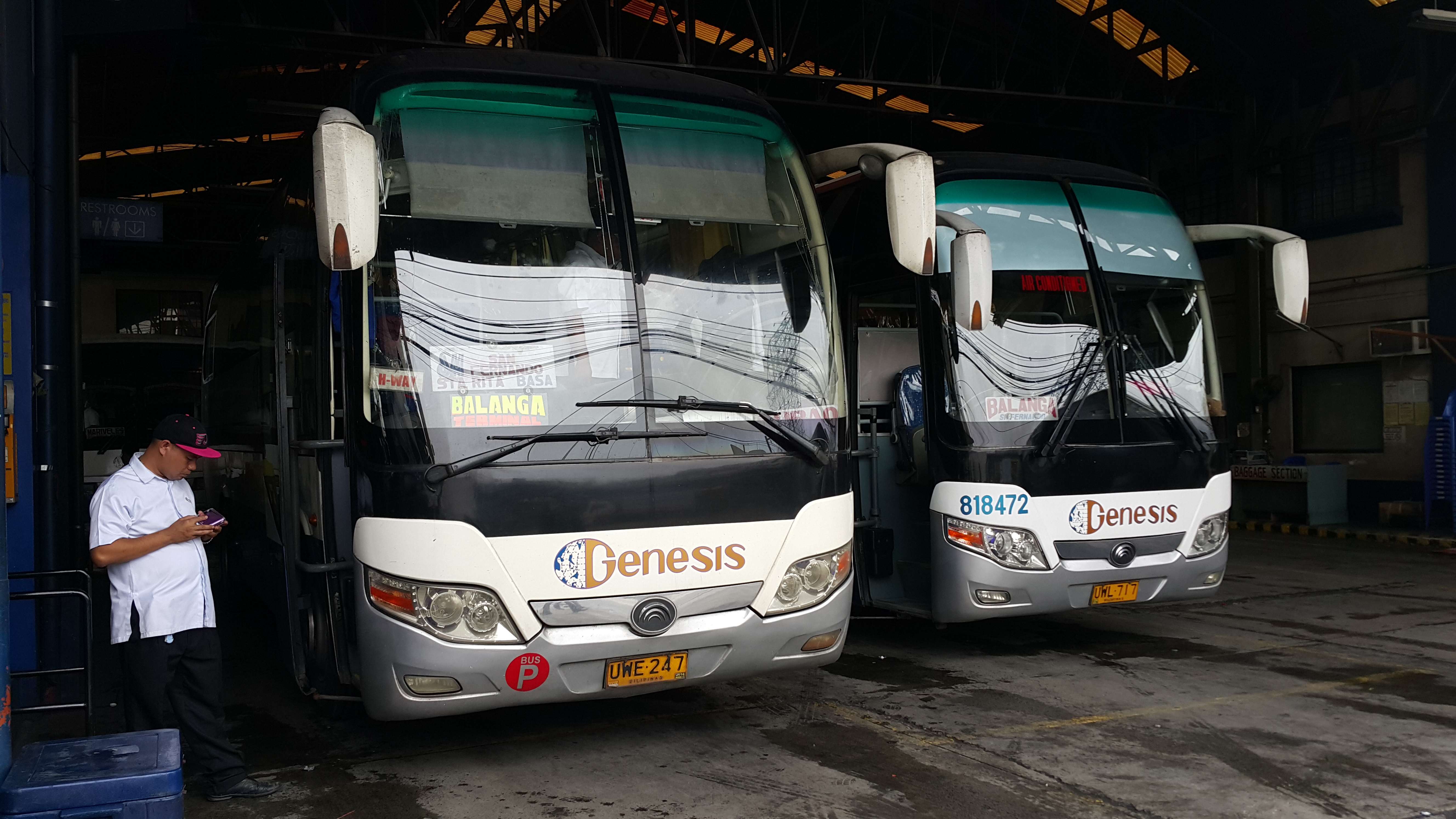
Yutong Genesis bus @ Cubao terminal
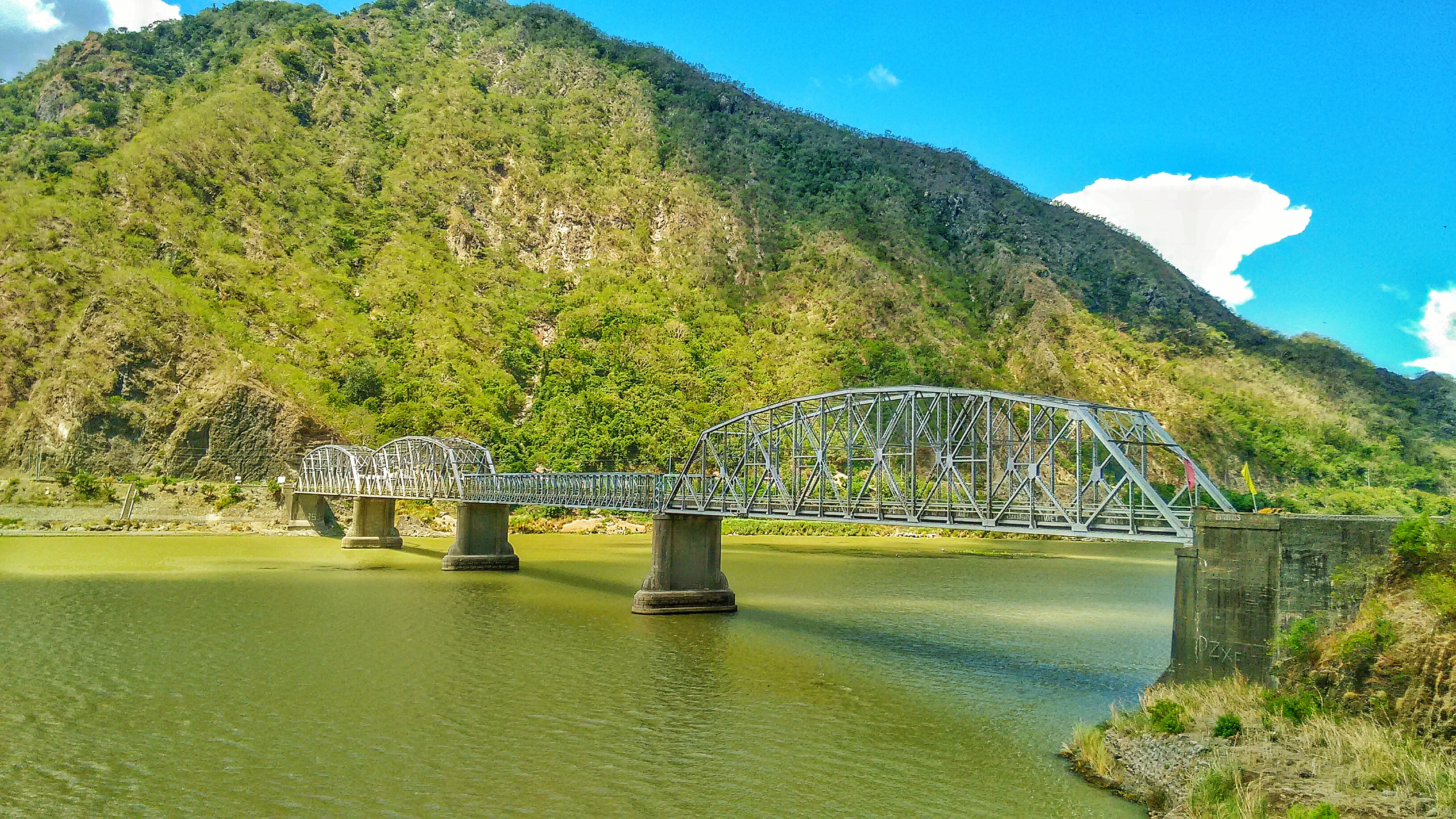
Old Quirino Bridge
Topographic Map of Bungabong, Maguindanao, Philippines
Find elevation by address:

Places near Bungabong, Maguindanao, Philippines:
Balut
Macabico (macabiso)
Tapayan
Sultan Mastura
Dagurungan Elementary School
Tambo
Tuka
Tariken
Solon
Namuken
Kirkir
Calsada
Simuay/seashore
Rio Grande De Mindanao
Cotabato City Plaza
Poblacion Vi
Cotabato City
Buldon
Barira
Libungan
Recent Searches:
- Elevation of Corso Fratelli Cairoli, 35, Macerata MC, Italy
- Elevation of Tallevast Rd, Sarasota, FL, USA
- Elevation of 4th St E, Sonoma, CA, USA
- Elevation of Black Hollow Rd, Pennsdale, PA, USA
- Elevation of Oakland Ave, Williamsport, PA, USA
- Elevation of Pedrógão Grande, Portugal
- Elevation of Klee Dr, Martinsburg, WV, USA
- Elevation of Via Roma, Pieranica CR, Italy
- Elevation of Tavkvetili Mountain, Georgia
- Elevation of Hartfords Bluff Cir, Mt Pleasant, SC, USA