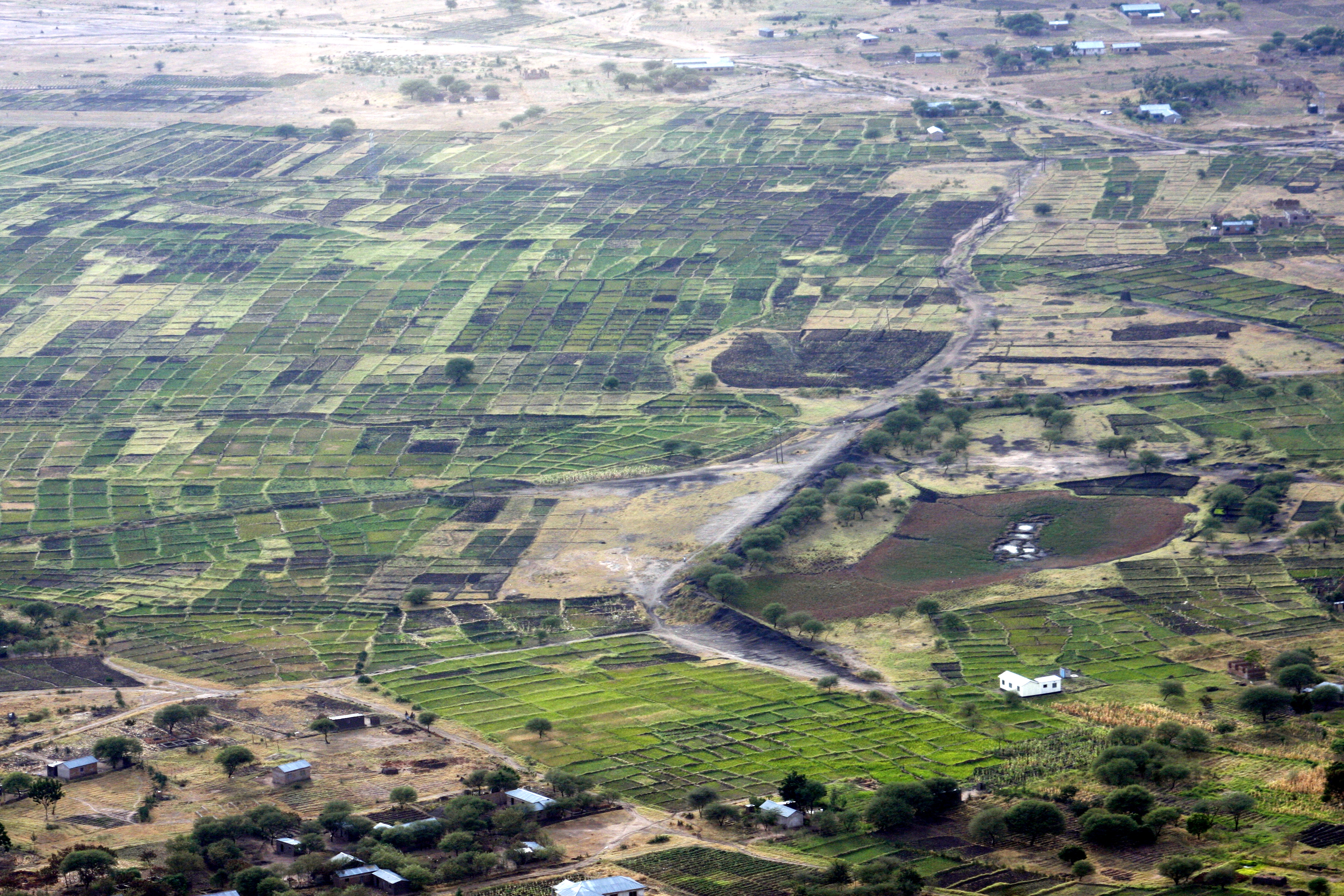
Elevation of Bunda, Tanzania
Location: Tanzania > Mara Region >
Longitude: 33.8746152
Latitude: -2.0185322
Elevation: 1253m / 4111feet
Barometric Pressure: 87KPa
Elevation Map:
Satellite Map:
Related Photos:
Den gamle dammen
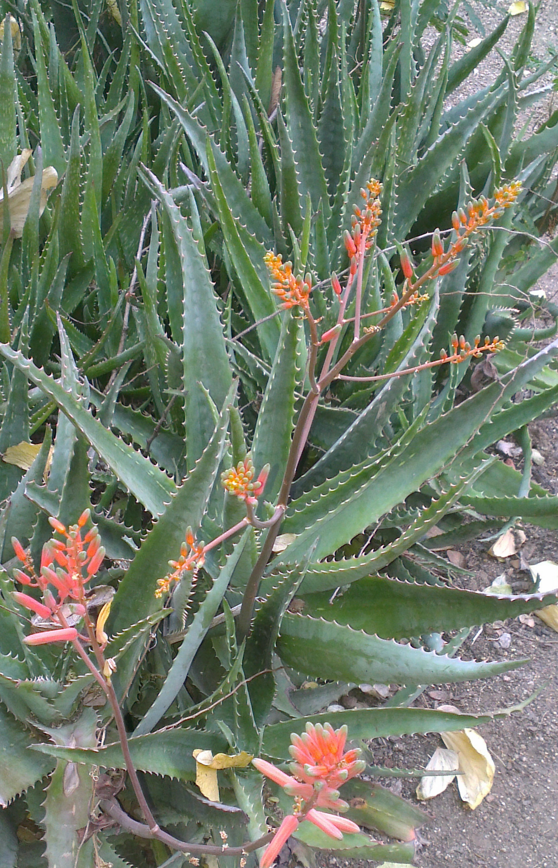
Fllower of wild alovera

FullSizeRender-20150120-160424

13042012764-001_1
Topographic Map of Bunda, Tanzania
Find elevation by address:

Places in Bunda, Tanzania:
Places near Bunda, Tanzania:
Bunda Hill
Butiama
Musoma
Grumeti Game Reserve
Mara Region
Andbeyond Grumeti Serengeti Tented Camp
Masai Mara Lodge
Musoma Urban
Musoma
Rorya
Mwaumatondo
Maswa
Bariadi
Bariadi
Ikoma
Serengeti
Machochwe
Serengeti Serena Safari Lodge
Mqc9+qq
Kubu Kubu Tented Camp
Recent Searches:
- Elevation of Corso Fratelli Cairoli, 35, Macerata MC, Italy
- Elevation of Tallevast Rd, Sarasota, FL, USA
- Elevation of 4th St E, Sonoma, CA, USA
- Elevation of Black Hollow Rd, Pennsdale, PA, USA
- Elevation of Oakland Ave, Williamsport, PA, USA
- Elevation of Pedrógão Grande, Portugal
- Elevation of Klee Dr, Martinsburg, WV, USA
- Elevation of Via Roma, Pieranica CR, Italy
- Elevation of Tavkvetili Mountain, Georgia
- Elevation of Hartfords Bluff Cir, Mt Pleasant, SC, USA