Elevation of Bull Ridge, Colorado, USA
Location: United States > Colorado > Cotopaxi >
Longitude: -105.60444
Latitude: 38.4647222
Elevation: 2734m / 8970feet
Barometric Pressure: 72KPa
Elevation Map:
Satellite Map:
Related Photos:
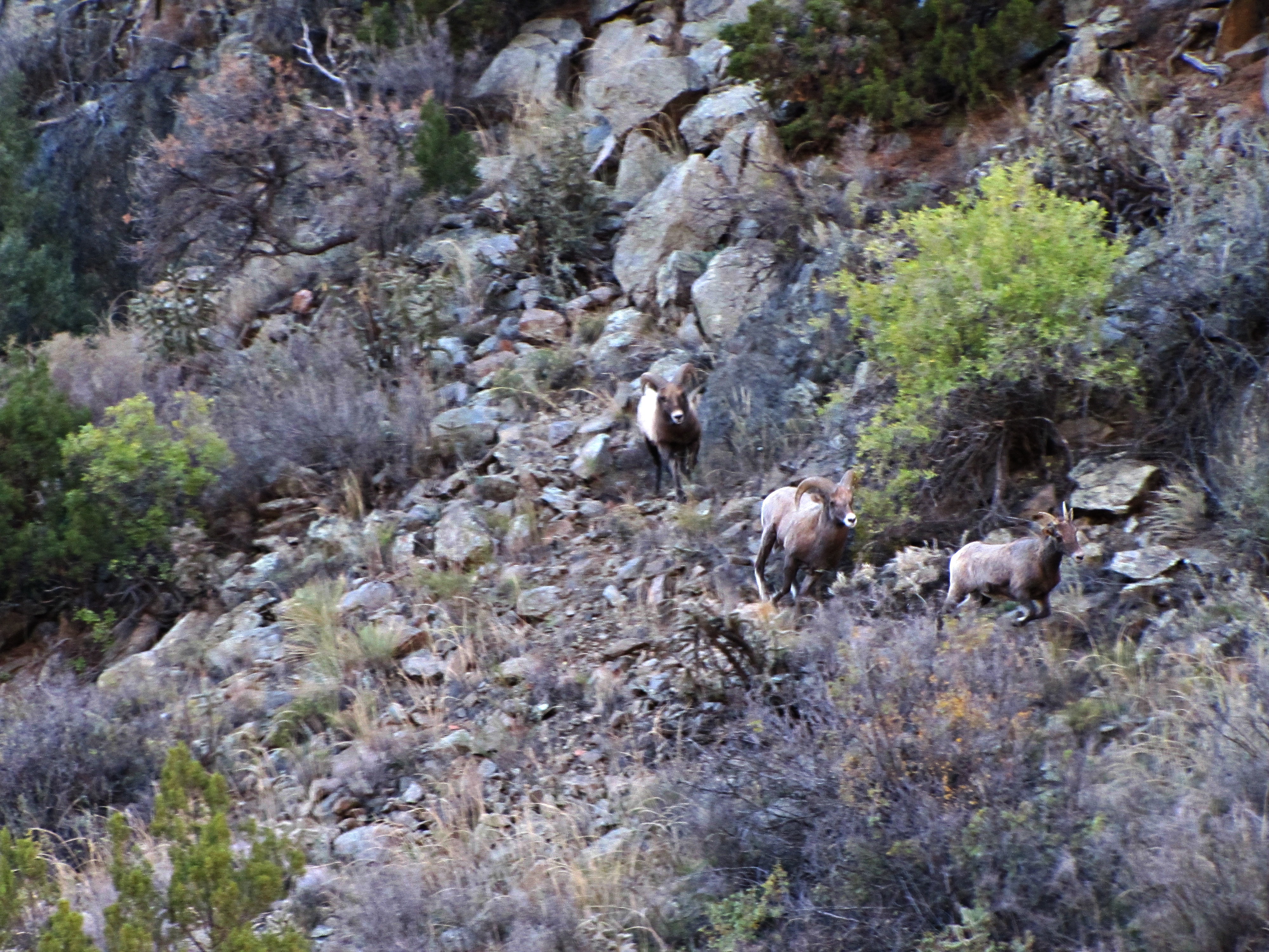
The rut (4 of 6)
Topographic Map of Bull Ridge, Colorado, USA
Find elevation by address:

Places near Bull Ridge, Colorado, USA:
767 Shannon Rd
493 Shannon Rd
419 Shannon Rd
24634 Us-50
Texas Creek
25580 Us-50
568 Big Bow Dr
512 Big Bow Dr
24634 Us-50
296 Cedar Bluff Dr
603 Big Bow Dr
189 Burnt Timber Cir
179 Half Mound Cir
29 Bison Cir
Burnt Timber Circle
1000 Bird Point Dr
1000 Bird Point Dr
1154 Kirk Dr
1154 Kirk Dr
145 Last Chance Way
Recent Searches:
- Elevation of Corso Fratelli Cairoli, 35, Macerata MC, Italy
- Elevation of Tallevast Rd, Sarasota, FL, USA
- Elevation of 4th St E, Sonoma, CA, USA
- Elevation of Black Hollow Rd, Pennsdale, PA, USA
- Elevation of Oakland Ave, Williamsport, PA, USA
- Elevation of Pedrógão Grande, Portugal
- Elevation of Klee Dr, Martinsburg, WV, USA
- Elevation of Via Roma, Pieranica CR, Italy
- Elevation of Tavkvetili Mountain, Georgia
- Elevation of Hartfords Bluff Cir, Mt Pleasant, SC, USA