Elevation of Buffalo Prairie Township, IL, USA
Location: United States > Illinois > Rock Island County >
Longitude: -90.8484524
Latitude: 41.3780416
Elevation: 215m / 705feet
Barometric Pressure: 0KPa
Related Photos:
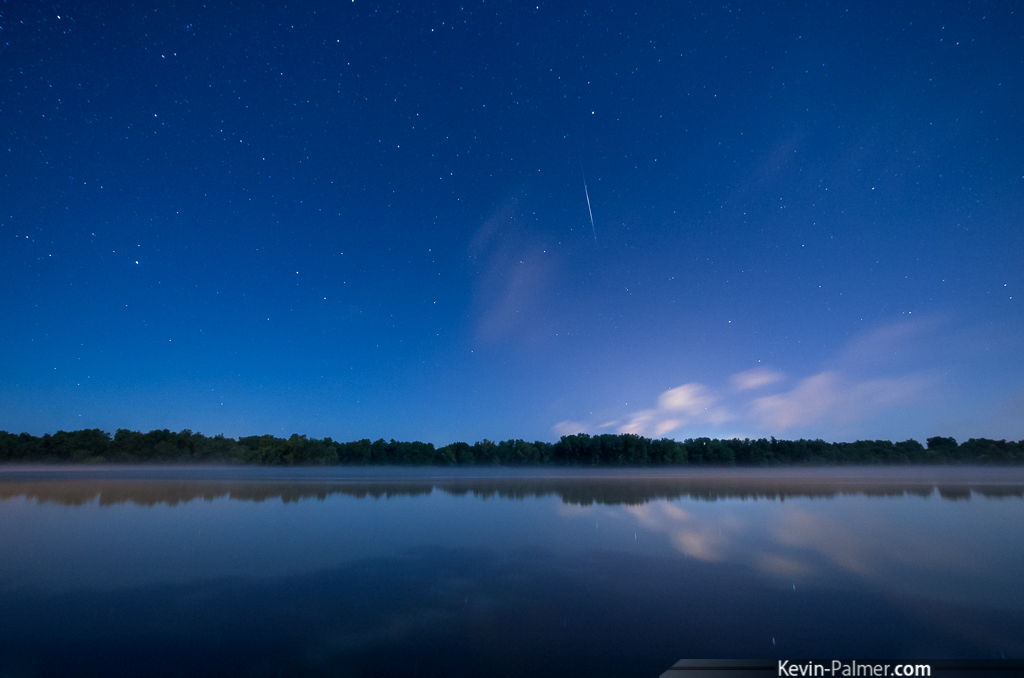
Aurora No-Show

A diferent view.
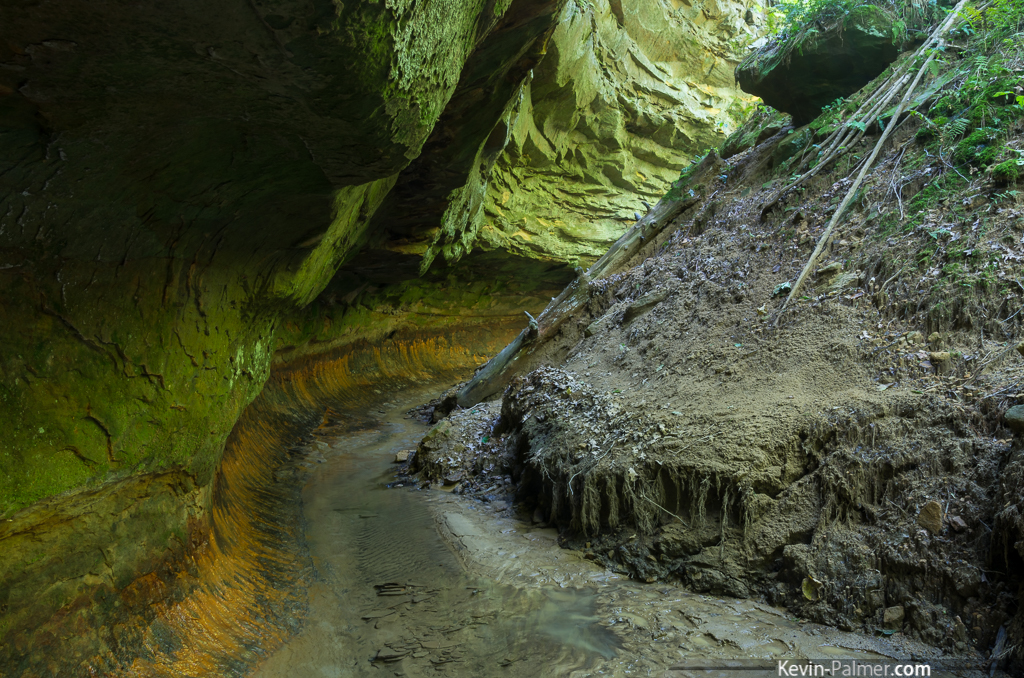
Iowa's Subway
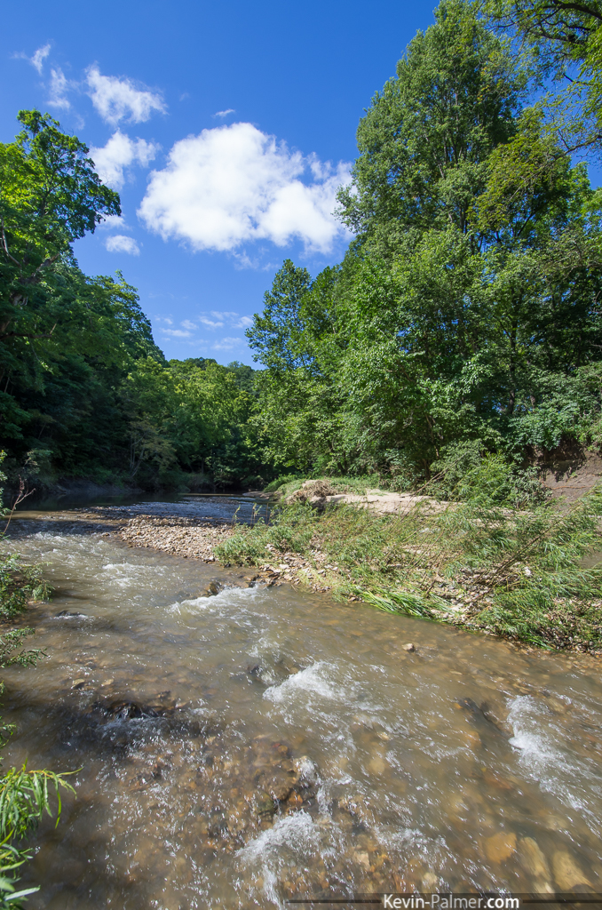
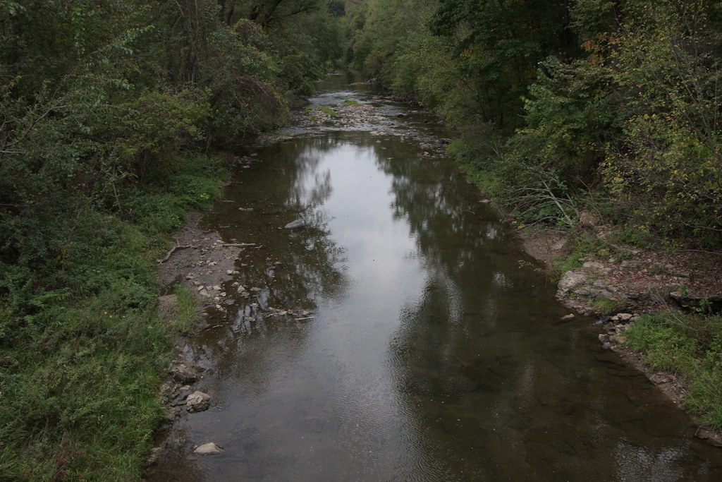
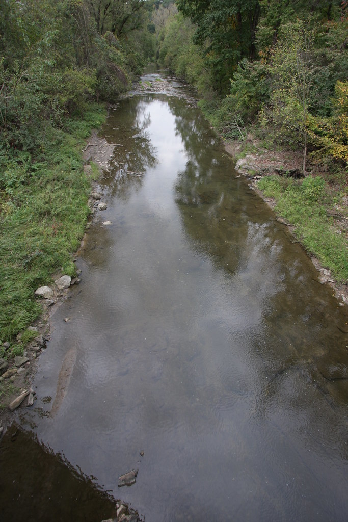
Pine Creek

Series IV-25B

IMG_12367.JPG
IMG_12385.JPG
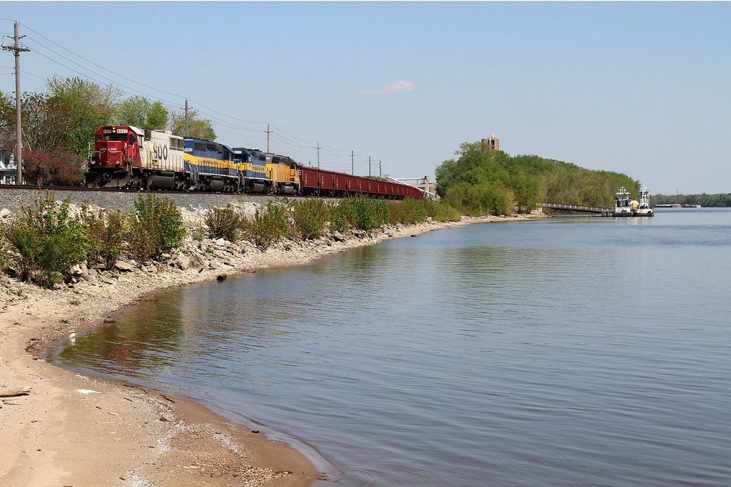
The Hunt For SOO 2
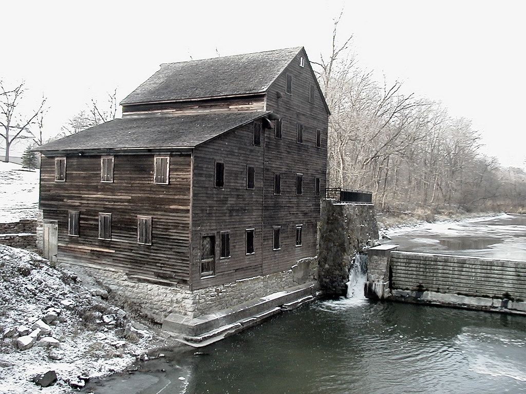
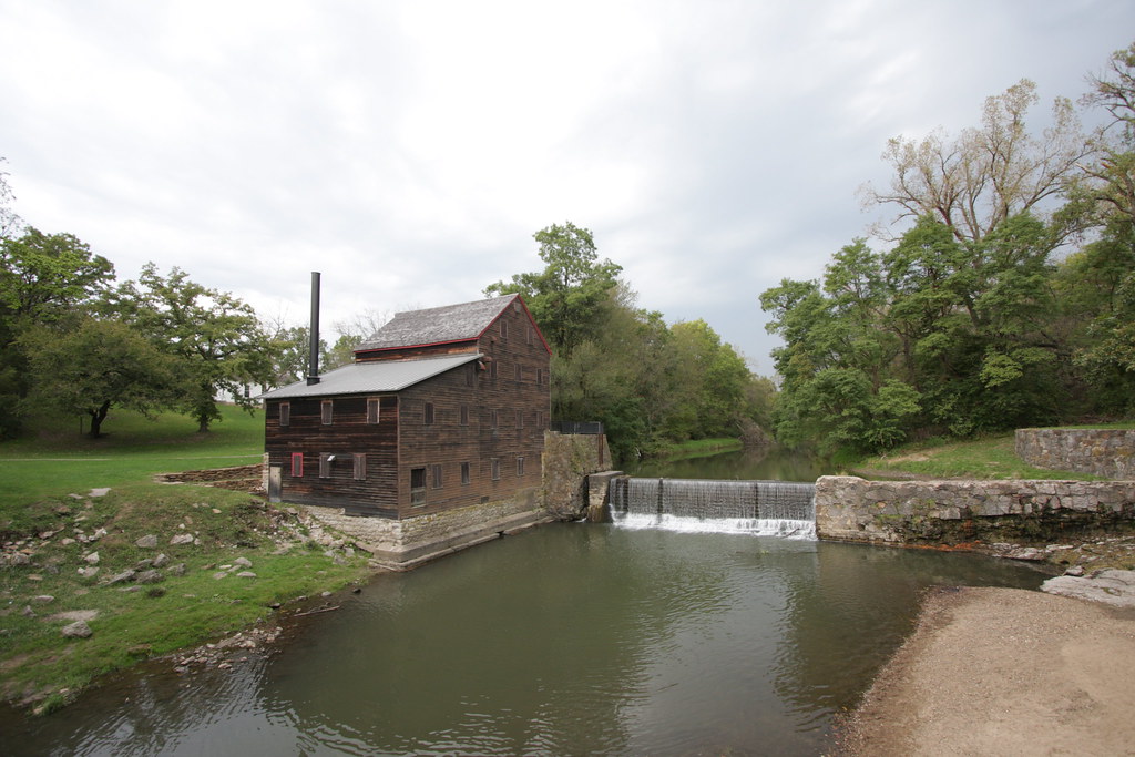
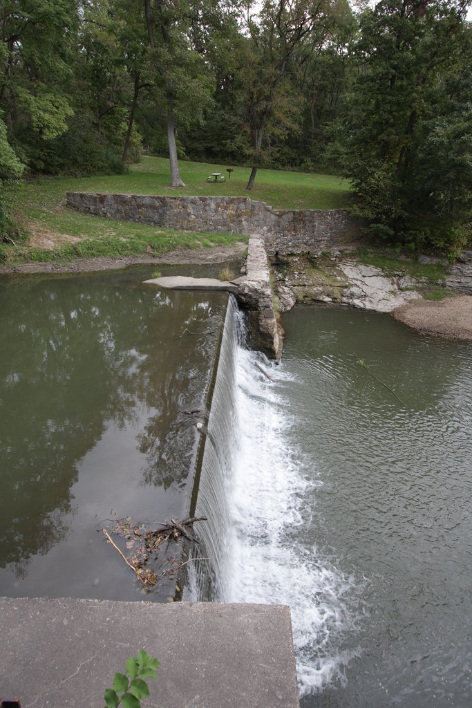
Pine Creek Mill, 1850, Muscatine, Iowa
Series IV-25B
IMG_12368.JPG
IMG_12384.JPG
IMG_12386.JPG
IMG_12417.JPG

IMG_12366.JPG
IMG_12398.JPG

Day 14: Evening at Black Walnut Camp

09.19.2010

Day 15: Tow

09.19.2010

Beginning of Fall
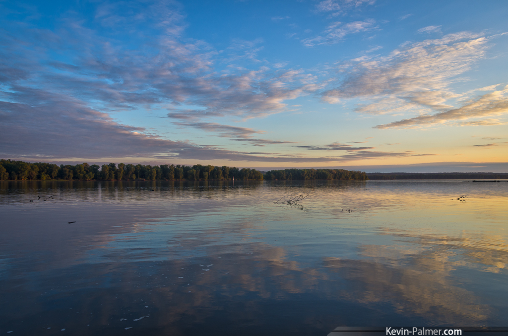
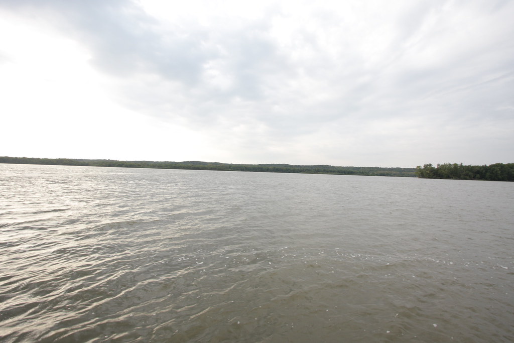
Sunset on the Mississippi
Topographic Map of Buffalo Prairie Township, IL, USA
Find elevation by address:

Places in Buffalo Prairie Township, IL, USA:
Places near Buffalo Prairie Township, IL, USA:
th St W, Joy, IL, USA
rd Ave W, Illinois City, IL, USA
Illinois City
IA-22, Muscatine, IA, USA
Midway Beach Rd, Muscatine, IA, USA
th St W, Taylor Ridge, IL, USA
Montpelier
Zachary Ave, Montpelier, IA, USA
New Era Rd, Muscatine, IA, USA
11510 61st Ave
Edgington Township
11700 61st Ave Pl
Andalusia Township
Muscatine, IA, USA
Sweetland
Andalusia
6th Ave E, Andalusia, IL, USA
2nd St, Buffalo, IA, USA
123 Main St
Buffalo
Recent Searches:
- Elevation of 611, Roman Road, Old Ford, Bow, London, England, E3 2RW, United Kingdom
- Elevation of 116, Beartown Road, Underhill, Chittenden County, Vermont, 05489, USA
- Elevation of Window Rock, Colfax County, New Mexico, 87714, USA
- Elevation of 4807, Rosecroft Street, Kempsville Gardens, Virginia Beach, Virginia, 23464, USA
- Elevation map of Matawinie, Quebec, Canada
- Elevation of Sainte-Émélie-de-l'Énergie, Matawinie, Quebec, Canada
- Elevation of Rue du Pont, Sainte-Émélie-de-l'Énergie, Matawinie, Quebec, J0K2K0, Canada
- Elevation of 8, Rue de Bécancour, Blainville, Thérèse-De Blainville, Quebec, J7B1N2, Canada
- Elevation of Wilmot Court North, 163, University Avenue West, Northdale, Waterloo, Region of Waterloo, Ontario, N2L6B6, Canada
- Elevation map of Panamá Province, Panama
- Elevation of Balboa, Panamá Province, Panama
- Elevation of San Miguel, Balboa, Panamá Province, Panama
- Elevation of Isla Gibraleón, San Miguel, Balboa, Panamá Province, Panama
- Elevation of 4655, Krischke Road, Schulenburg, Fayette County, Texas, 78956, USA
- Elevation of Carnegie Avenue, Downtown Cleveland, Cleveland, Cuyahoga County, Ohio, 44115, USA
- Elevation of Walhonding, Coshocton County, Ohio, USA
- Elevation of Clifton Down, Clifton, Bristol, City of Bristol, England, BS8 3HU, United Kingdom
- Elevation map of Auvergne-Rhône-Alpes, France
- Elevation map of Upper Savoy, Auvergne-Rhône-Alpes, France
- Elevation of Chamonix-Mont-Blanc, Upper Savoy, Auvergne-Rhône-Alpes, France