Elevation of Buffalo Peak, Colorado, USA
Location: United States > Colorado > Jefferson County > Pine >
Longitude: -105.36805
Latitude: 39.2755456
Elevation: 3476m / 11404feet
Barometric Pressure: 66KPa
Elevation Map:
Satellite Map:
Related Photos:
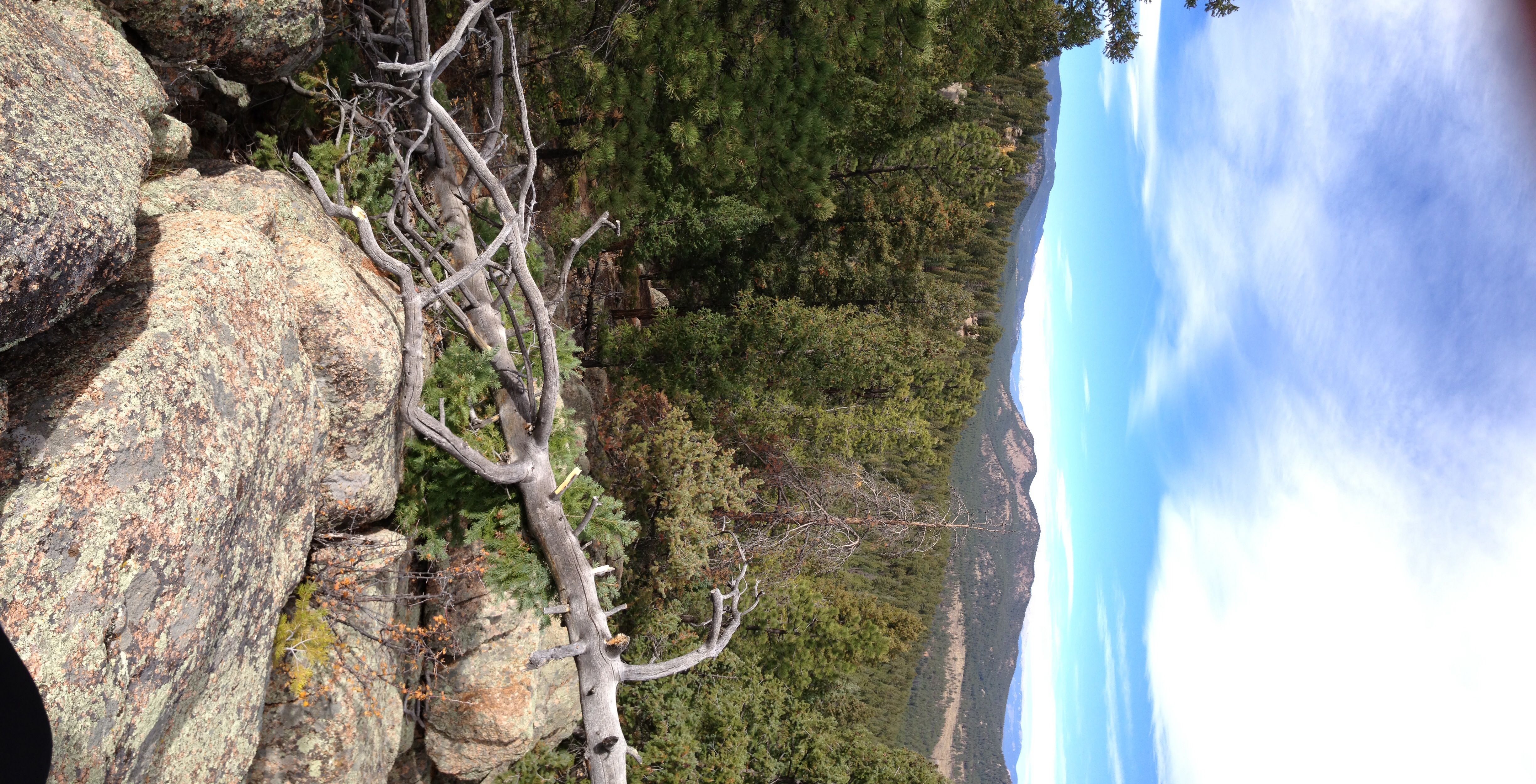
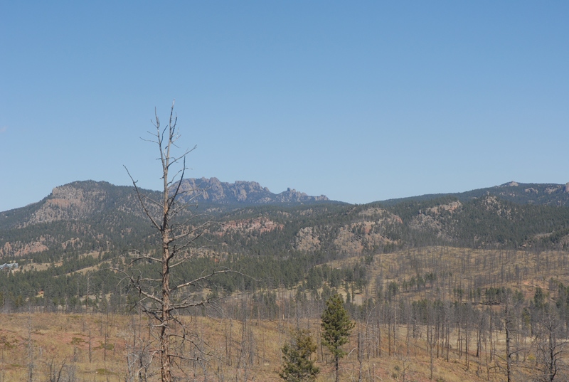
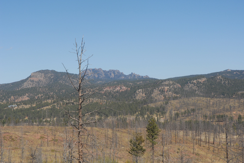
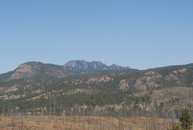
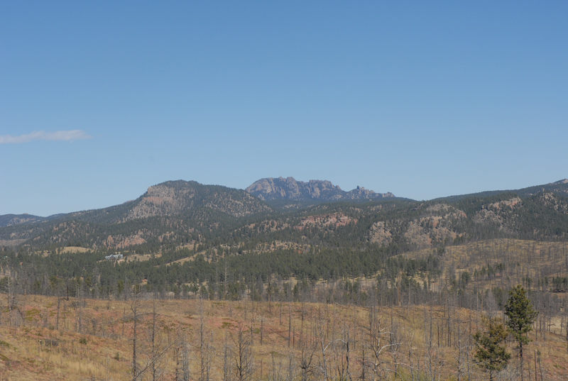
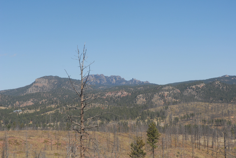
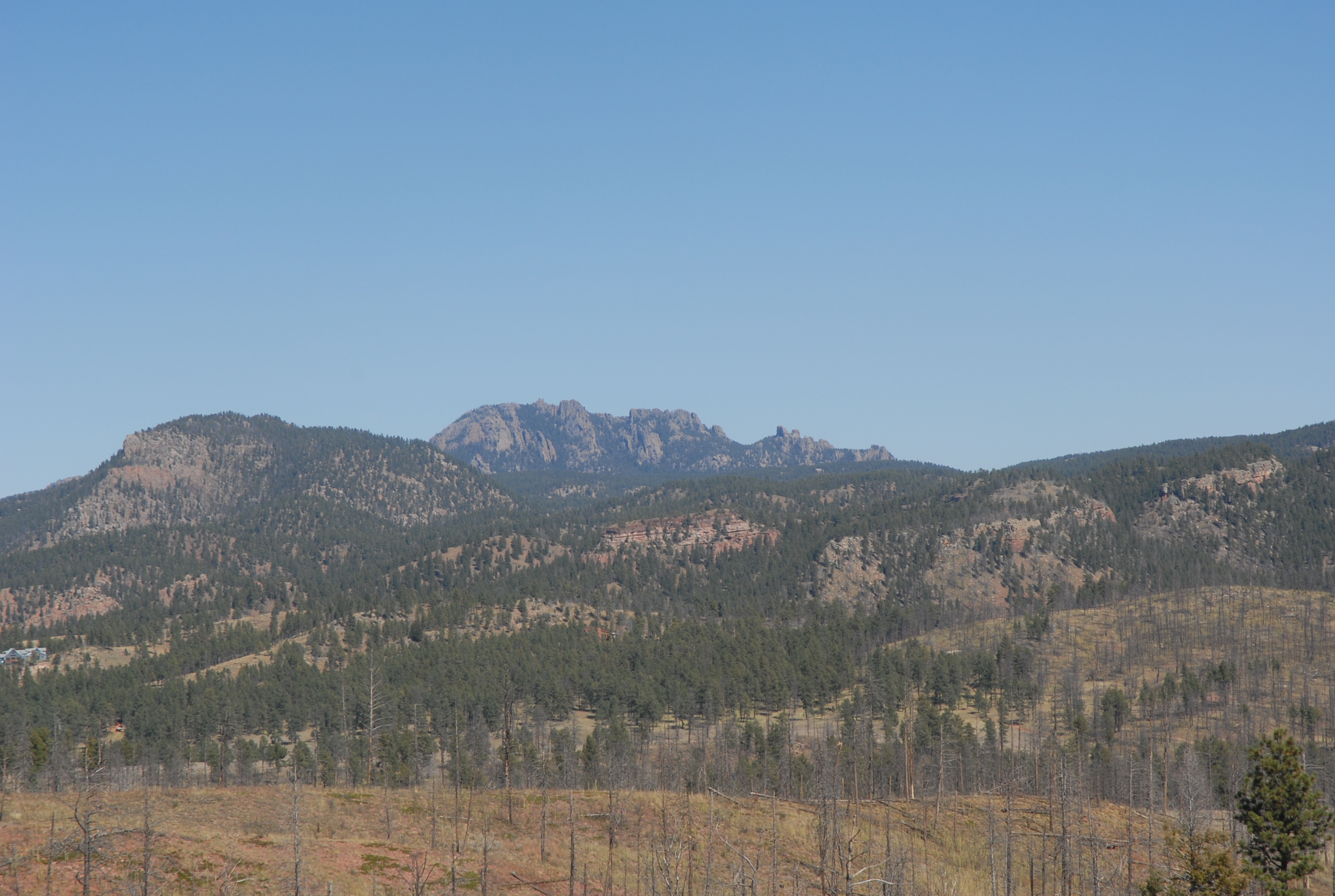
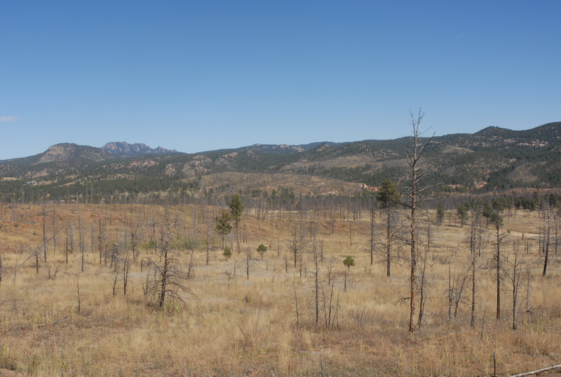
Campsite View
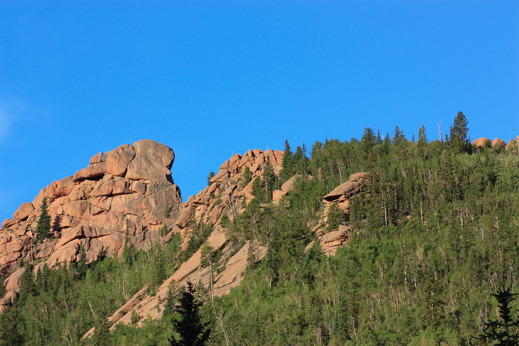
View from the top
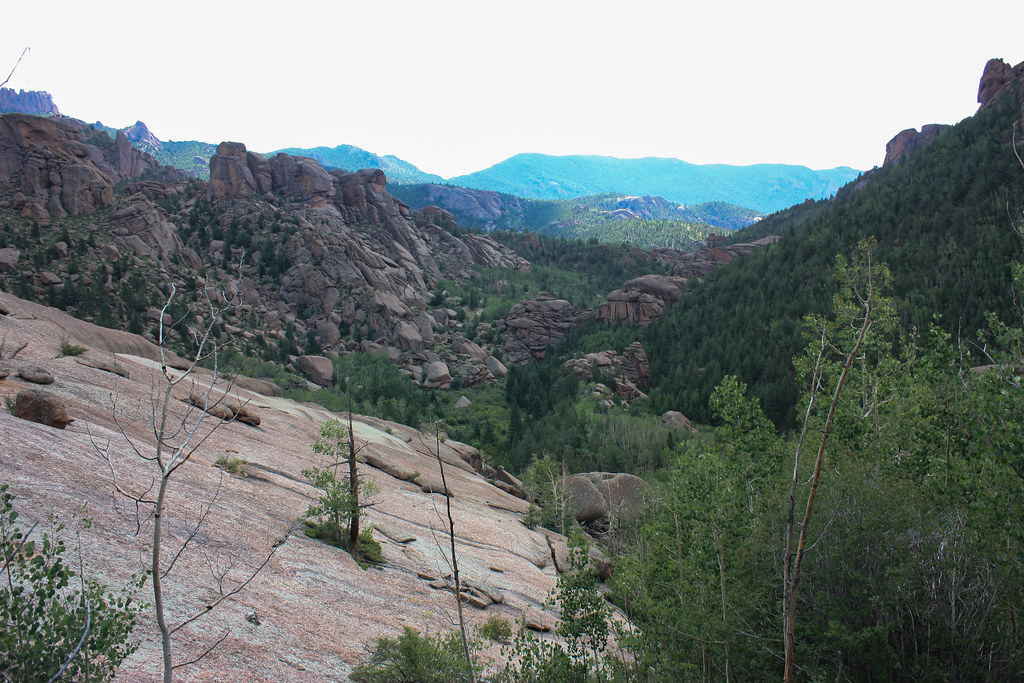
Valley View
2009.067.0189
2009.067.0191
2009.067.0192
2009.067.0168
2009.067.0170
2009.067.0190
2009.067.0169
2009.067.0174
Topographic Map of Buffalo Peak, Colorado, USA
Find elevation by address:

Places near Buffalo Peak, Colorado, USA:
The Castle
Wellington Lake
21843 Forest Rd 560
Stoney Pass Road
Little Scraggy Peak
Cheesman Mountain
Mccurdy Mountain
Deckers
21505 Spring Creek Rd
CO-67, Pine, CO, USA
19645 Cumbres Way
South Platte River Road
10011 Co Rd 67
12255 Co Rd 67
S Platte River Rd, Sedalia, CO, USA
11872 Co-67
Rainbow Drive
15175 Rainbow Dr
15175 Rainbow Dr
15175 Co Rd 66
Recent Searches:
- Elevation of Corso Fratelli Cairoli, 35, Macerata MC, Italy
- Elevation of Tallevast Rd, Sarasota, FL, USA
- Elevation of 4th St E, Sonoma, CA, USA
- Elevation of Black Hollow Rd, Pennsdale, PA, USA
- Elevation of Oakland Ave, Williamsport, PA, USA
- Elevation of Pedrógão Grande, Portugal
- Elevation of Klee Dr, Martinsburg, WV, USA
- Elevation of Via Roma, Pieranica CR, Italy
- Elevation of Tavkvetili Mountain, Georgia
- Elevation of Hartfords Bluff Cir, Mt Pleasant, SC, USA