Elevation of Buck Way, Heber City, UT, USA
Location: United States > Utah > Wasatch County > Timber Lakes >
Longitude: -111.22947
Latitude: 40.4553171
Elevation: 2568m / 8425feet
Barometric Pressure: 74KPa
Elevation Map:
Satellite Map:
Related Photos:
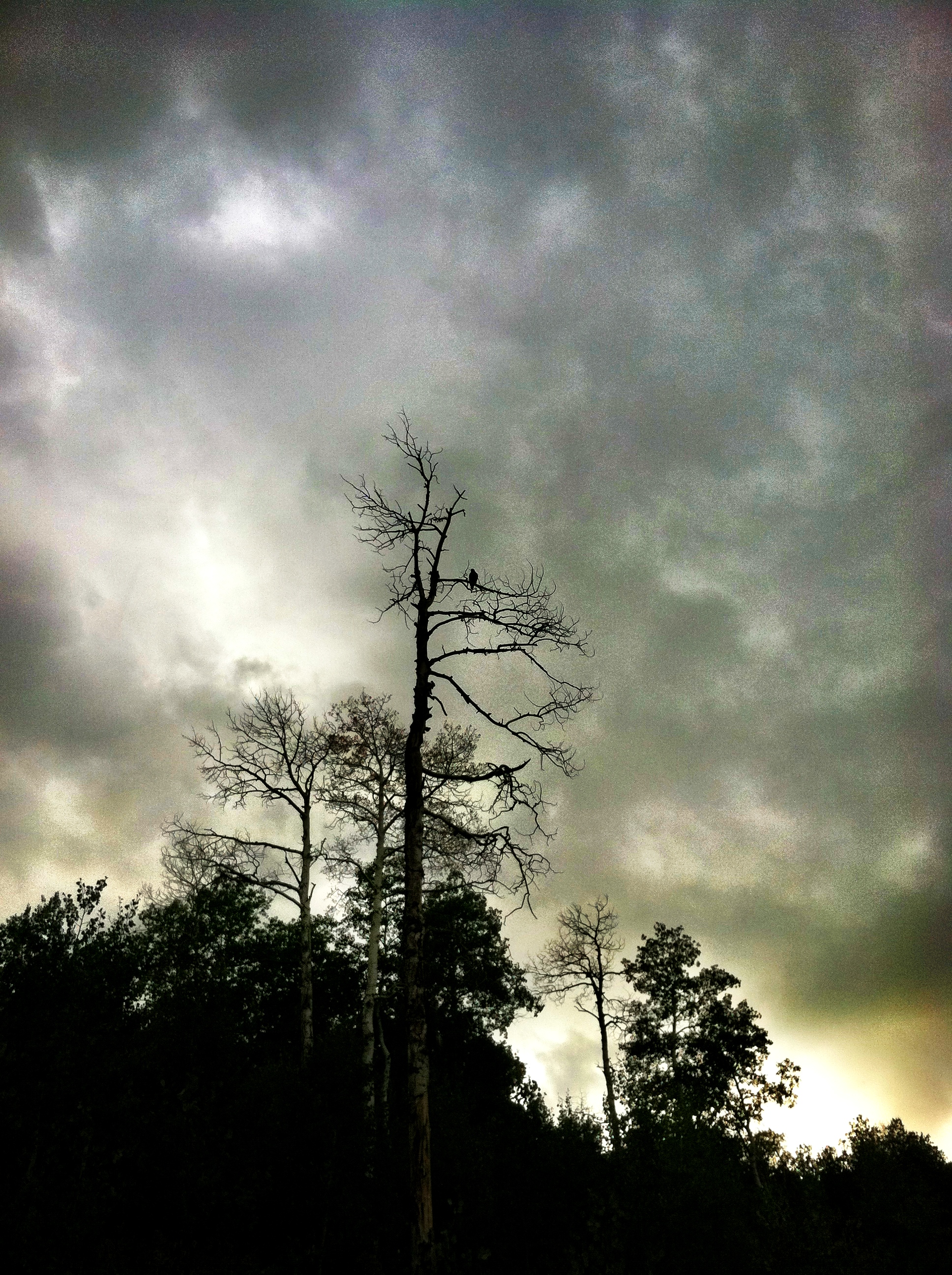
birds of prayer...
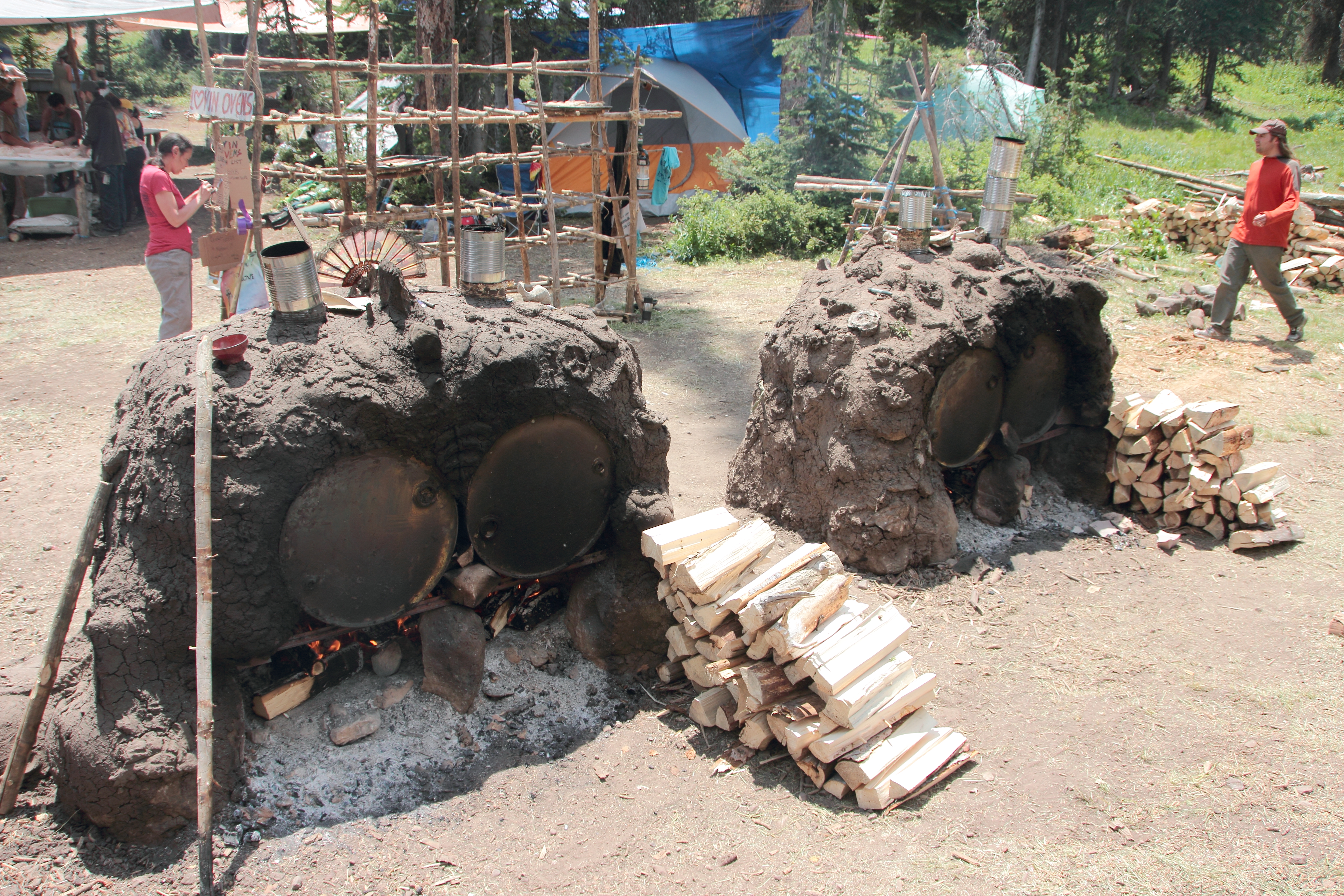
Lovin' Oven (back view)
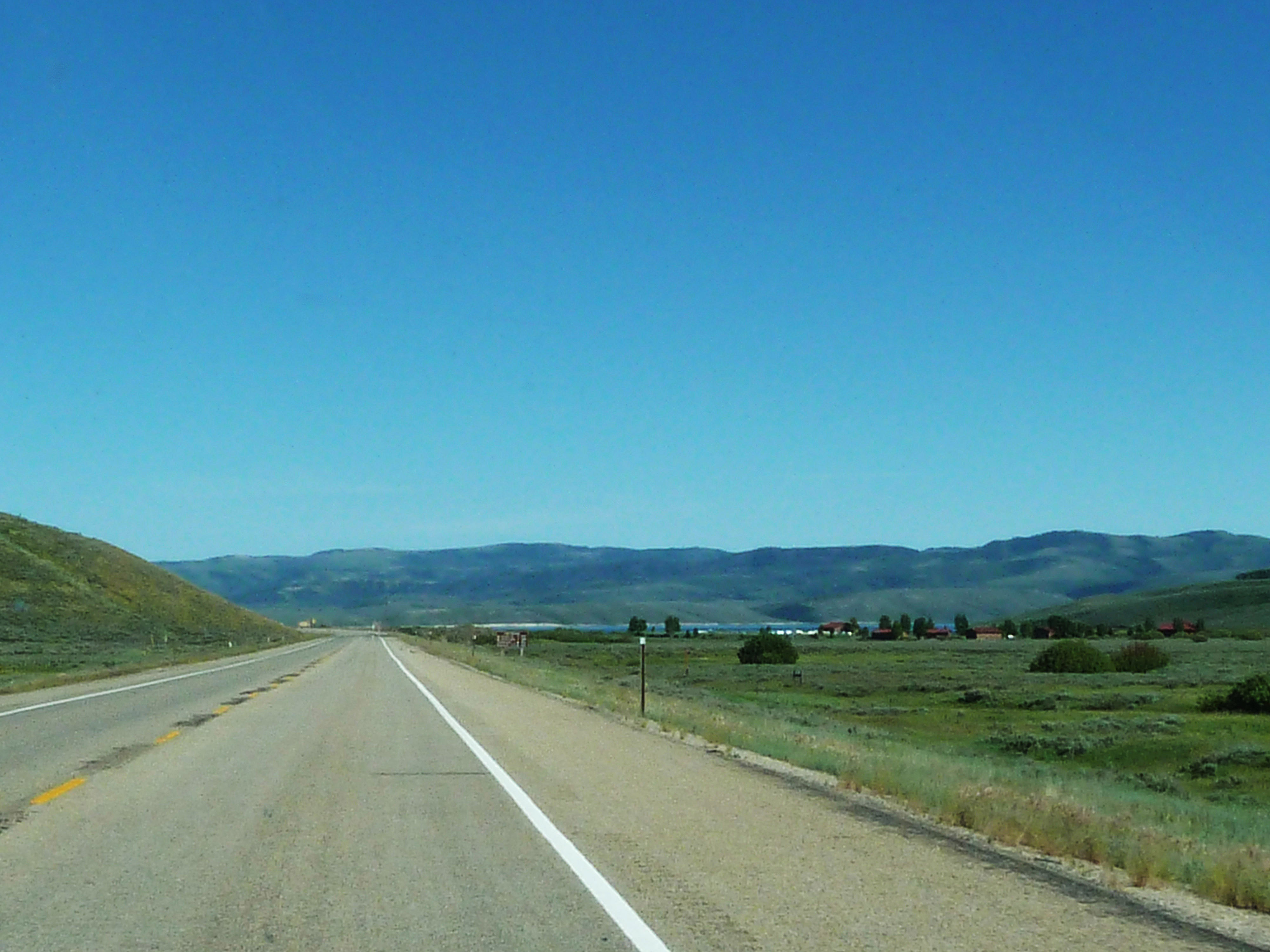
Traveling through Utah

#vans for #camping
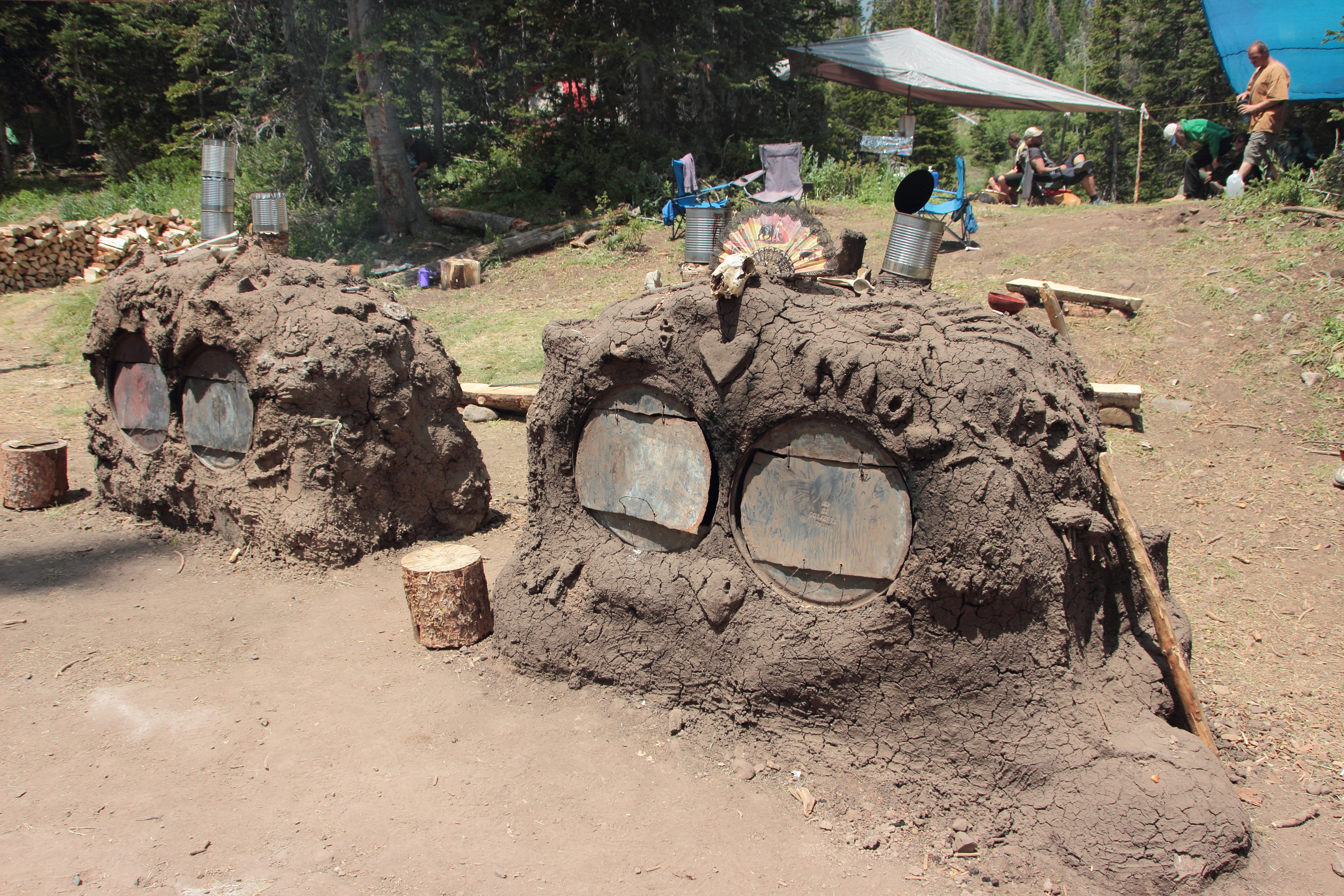
Lovin' Oven (front view)

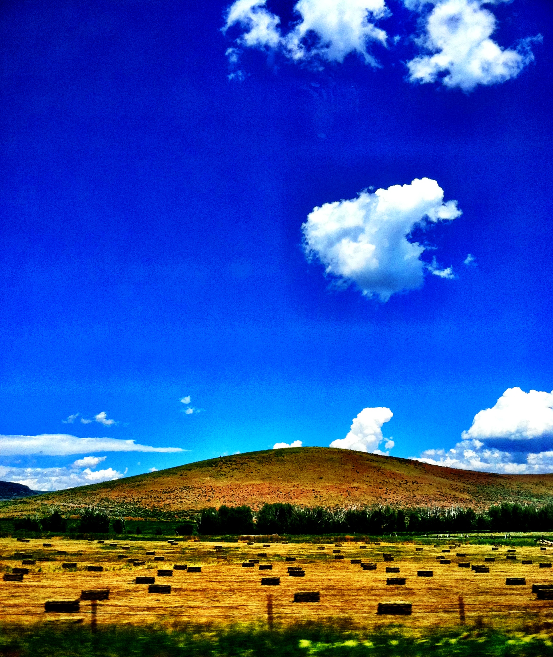
Sunset Clouds
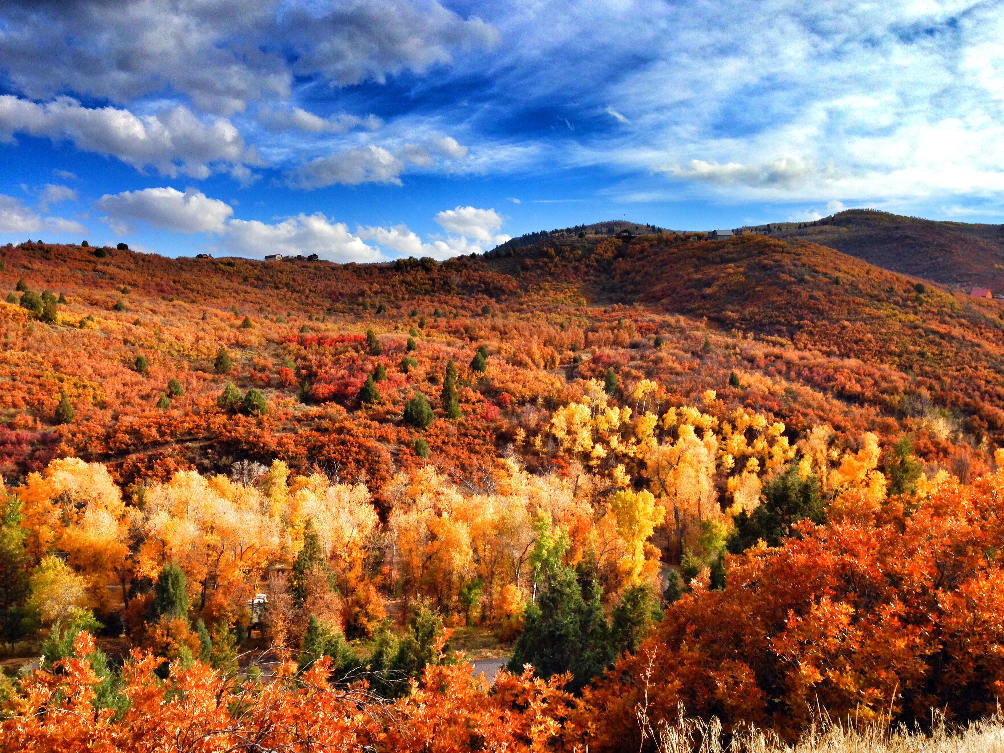
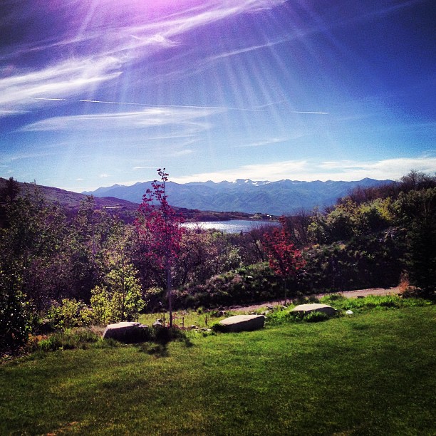
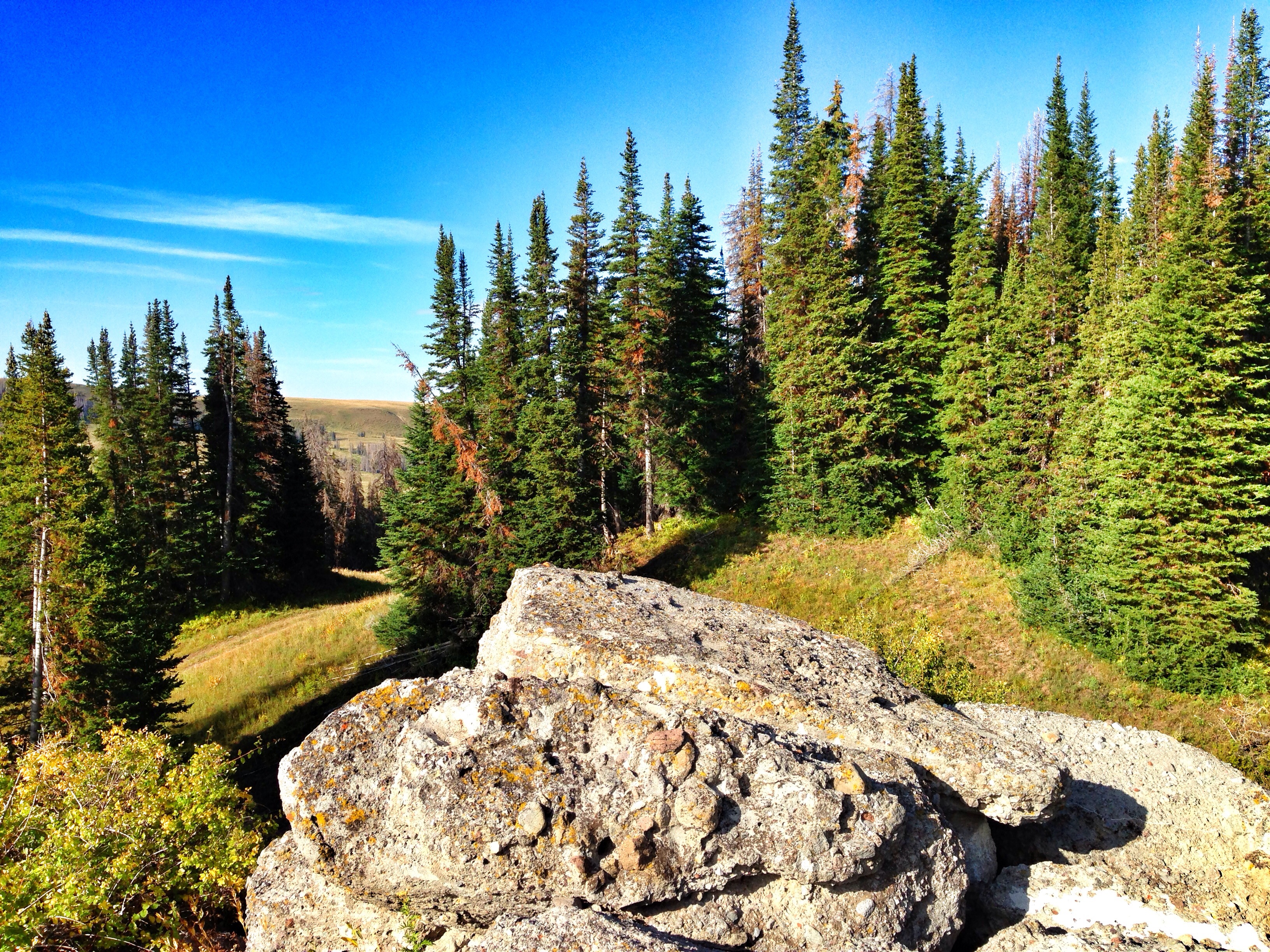
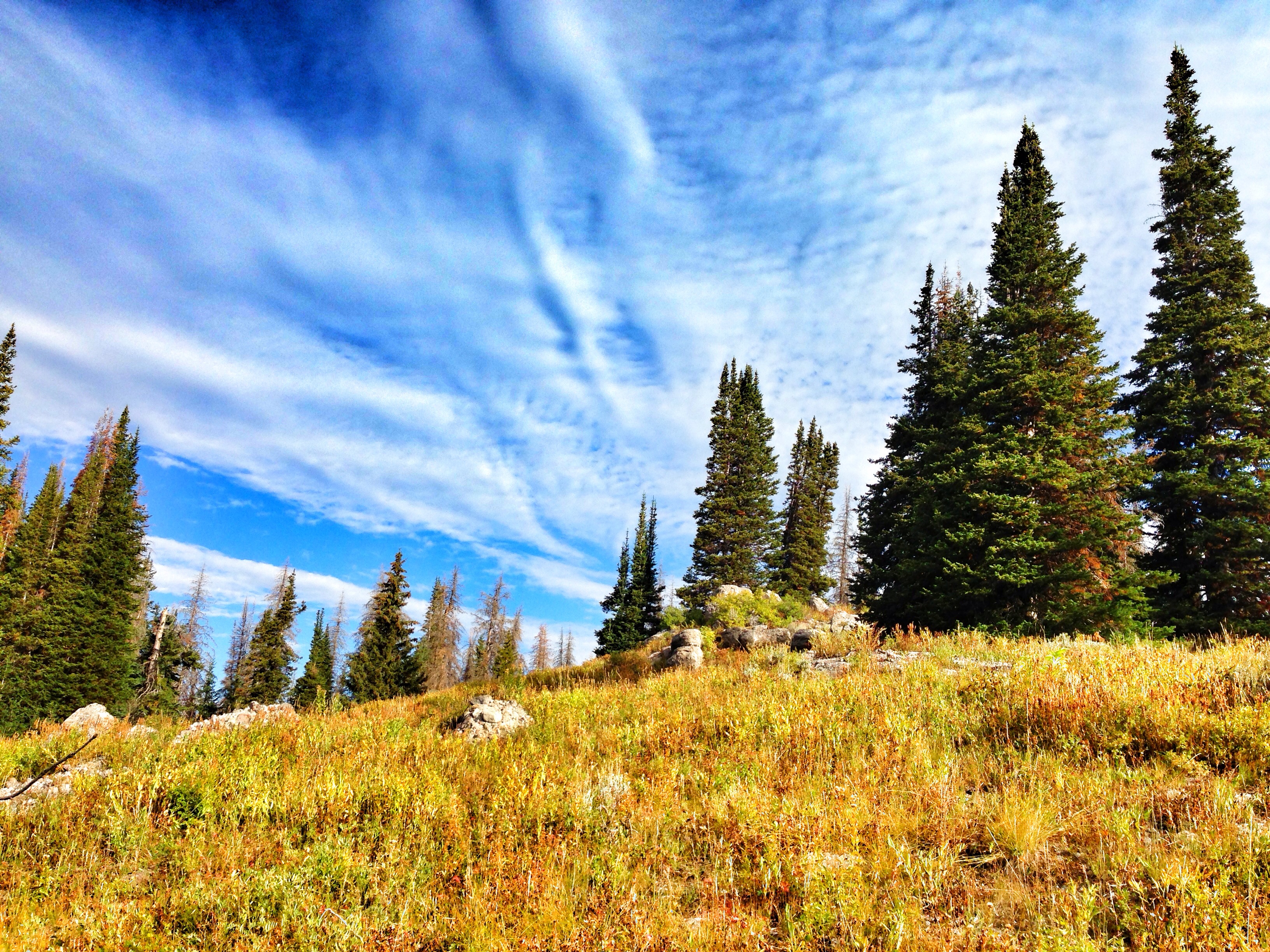
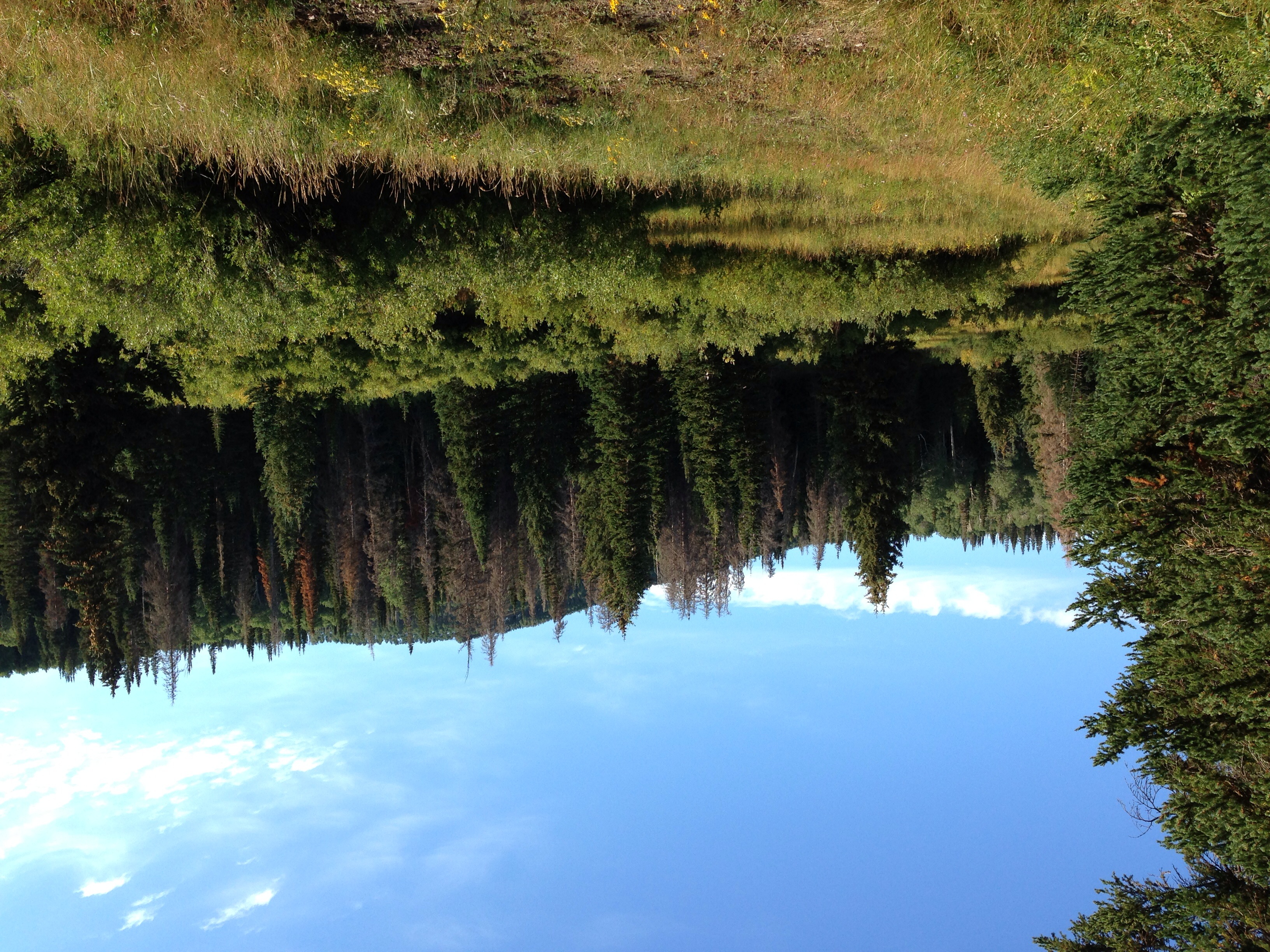
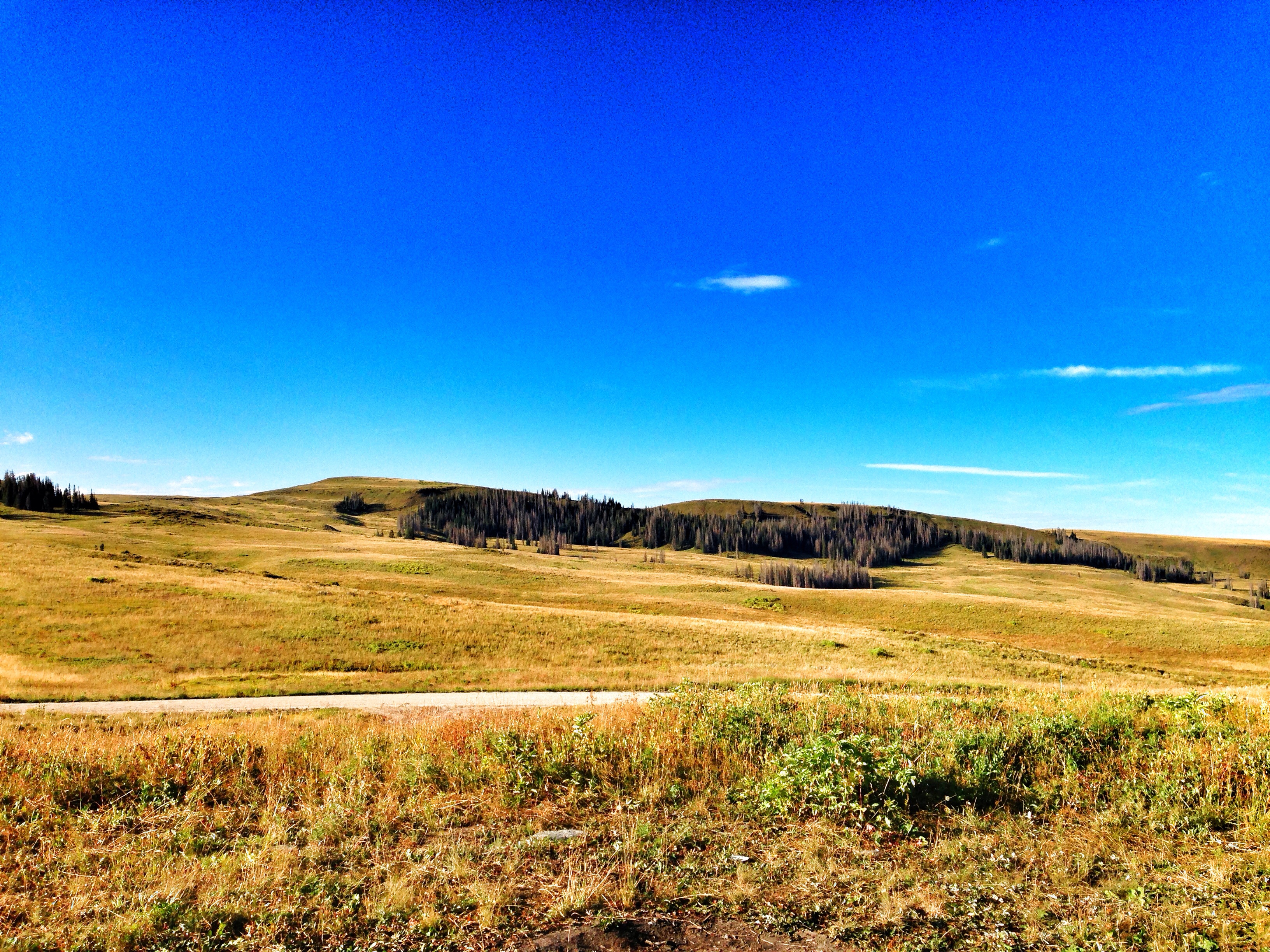
The Unitah mountains
The Unitah mountains
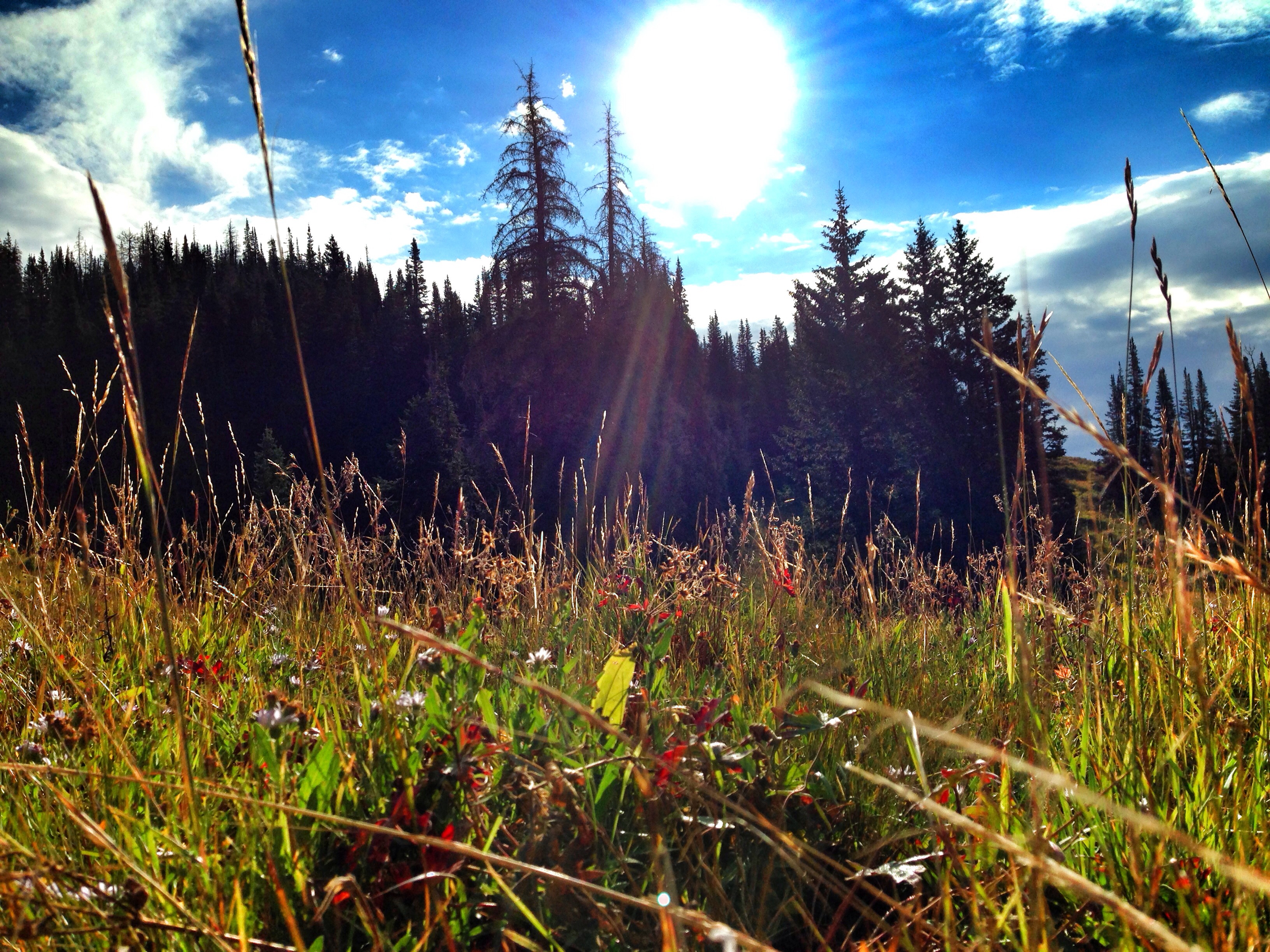
The Unitah mountains
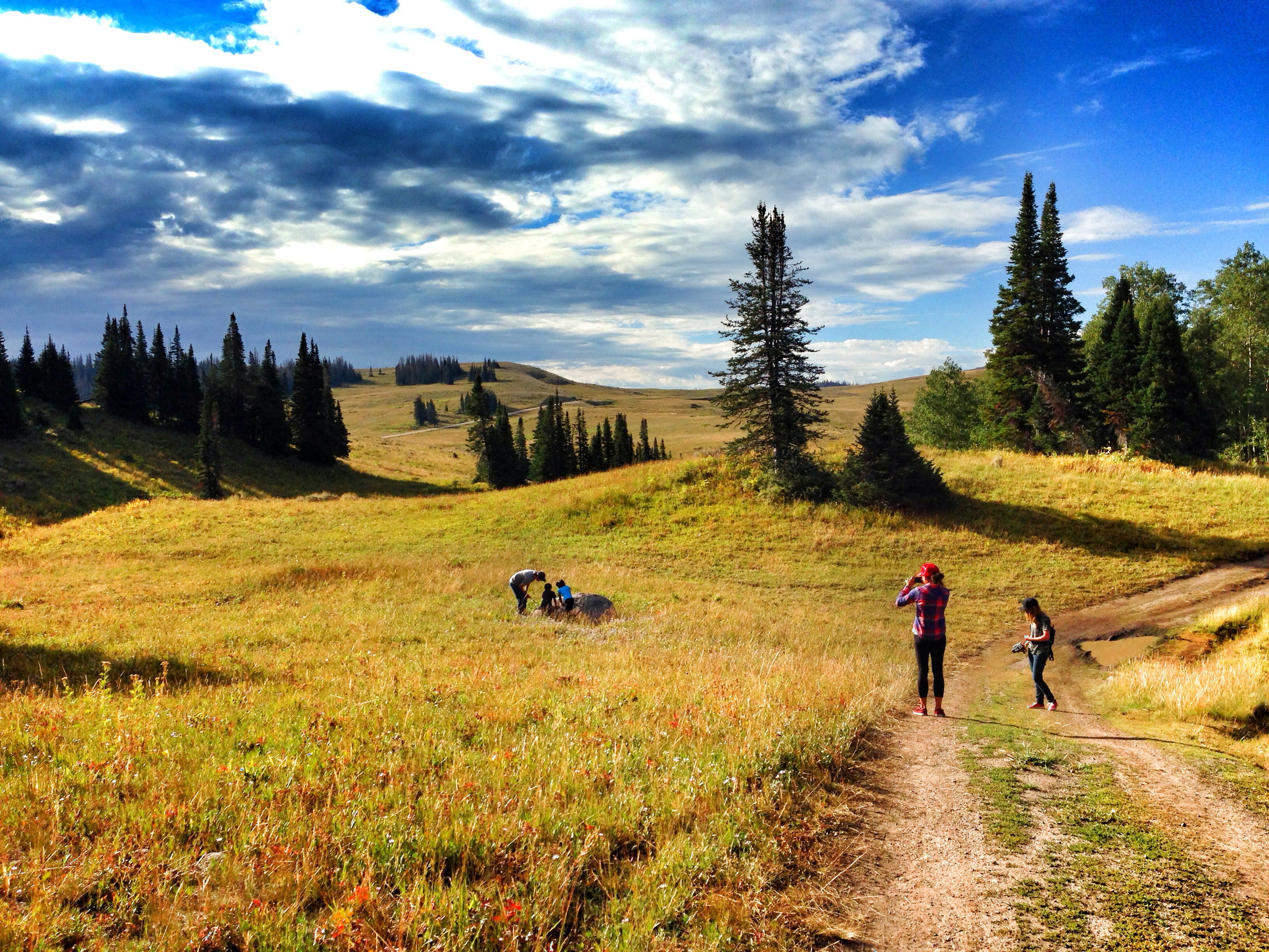
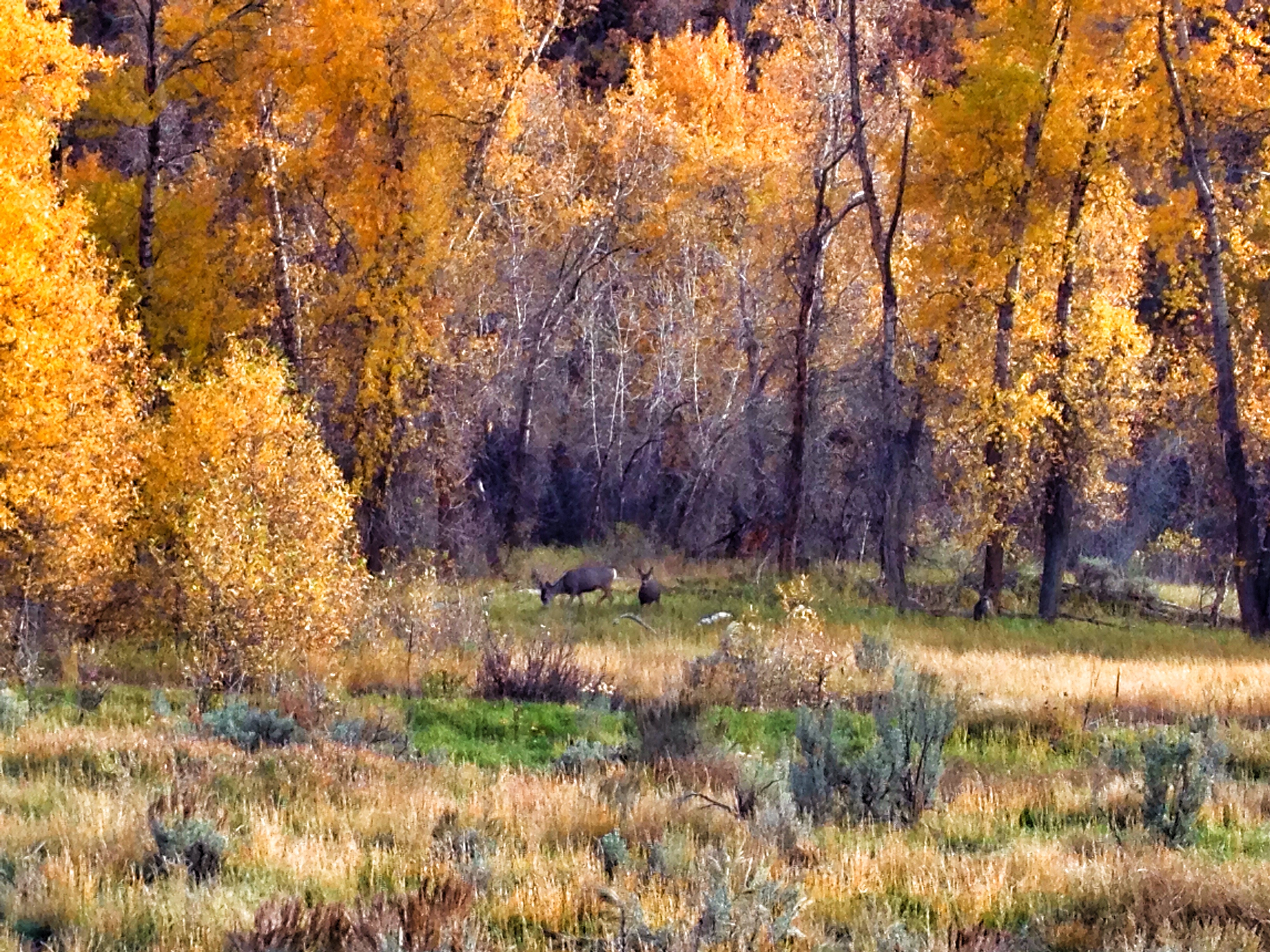
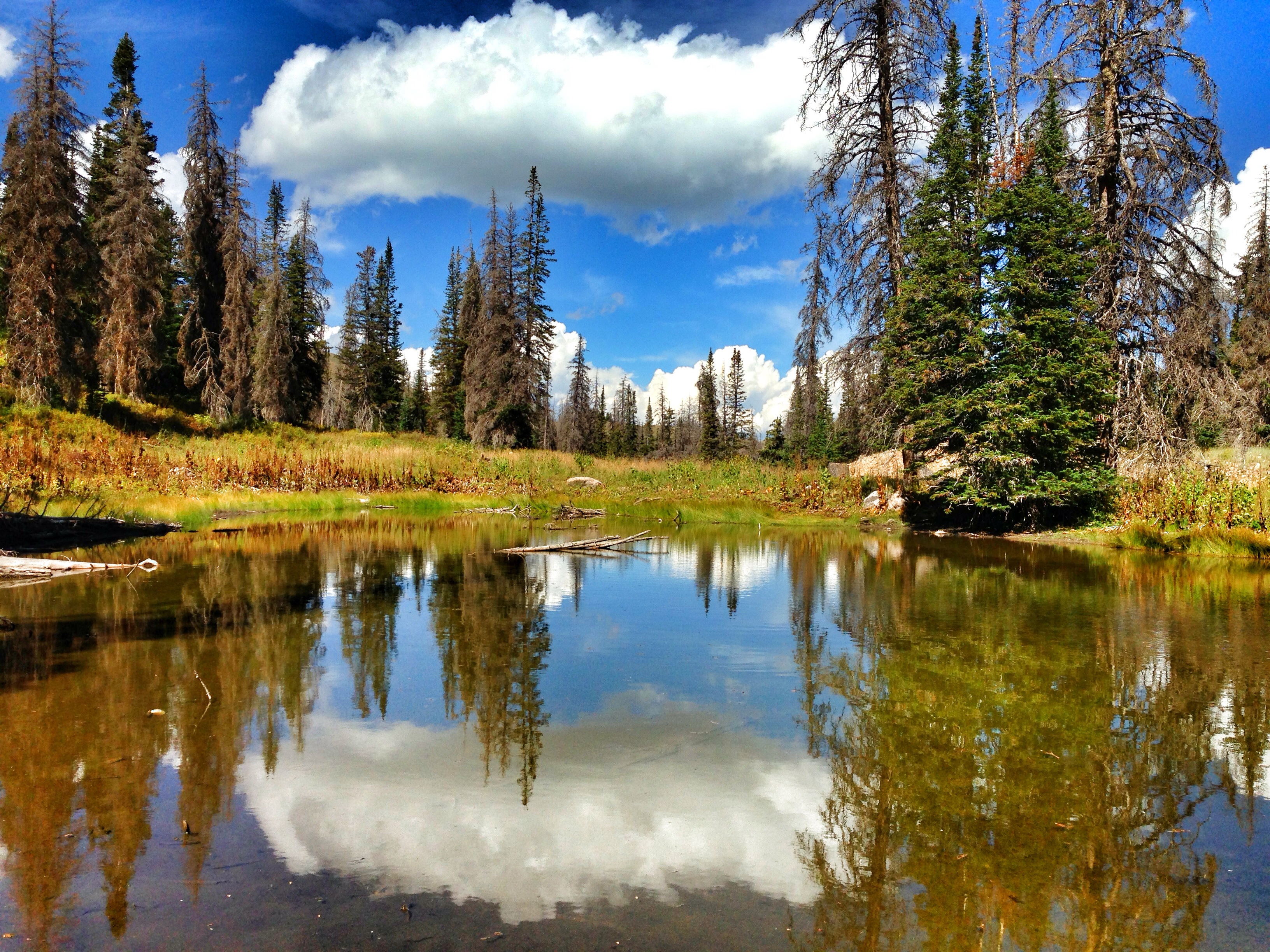
Camping in the Uintah's.

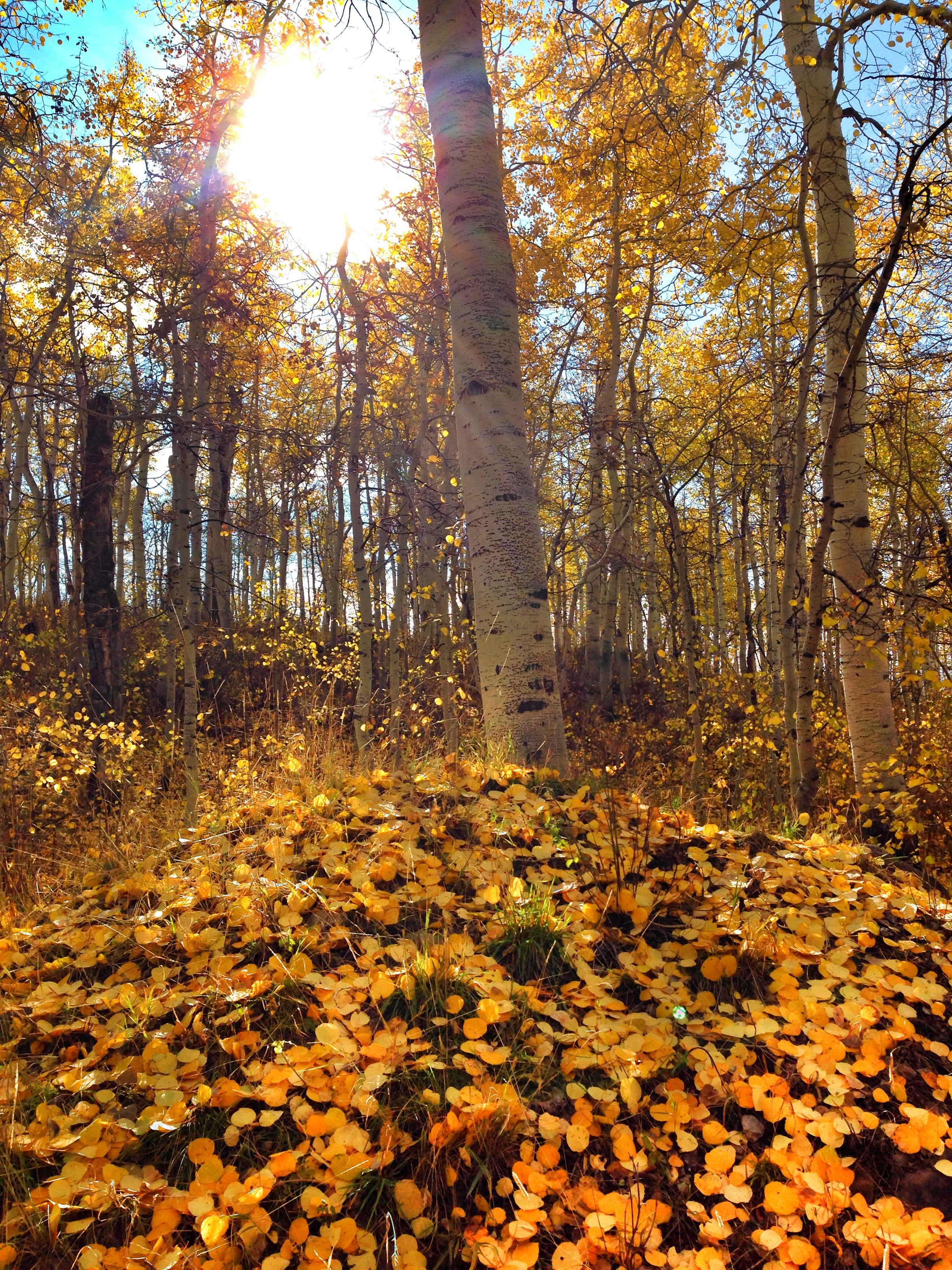
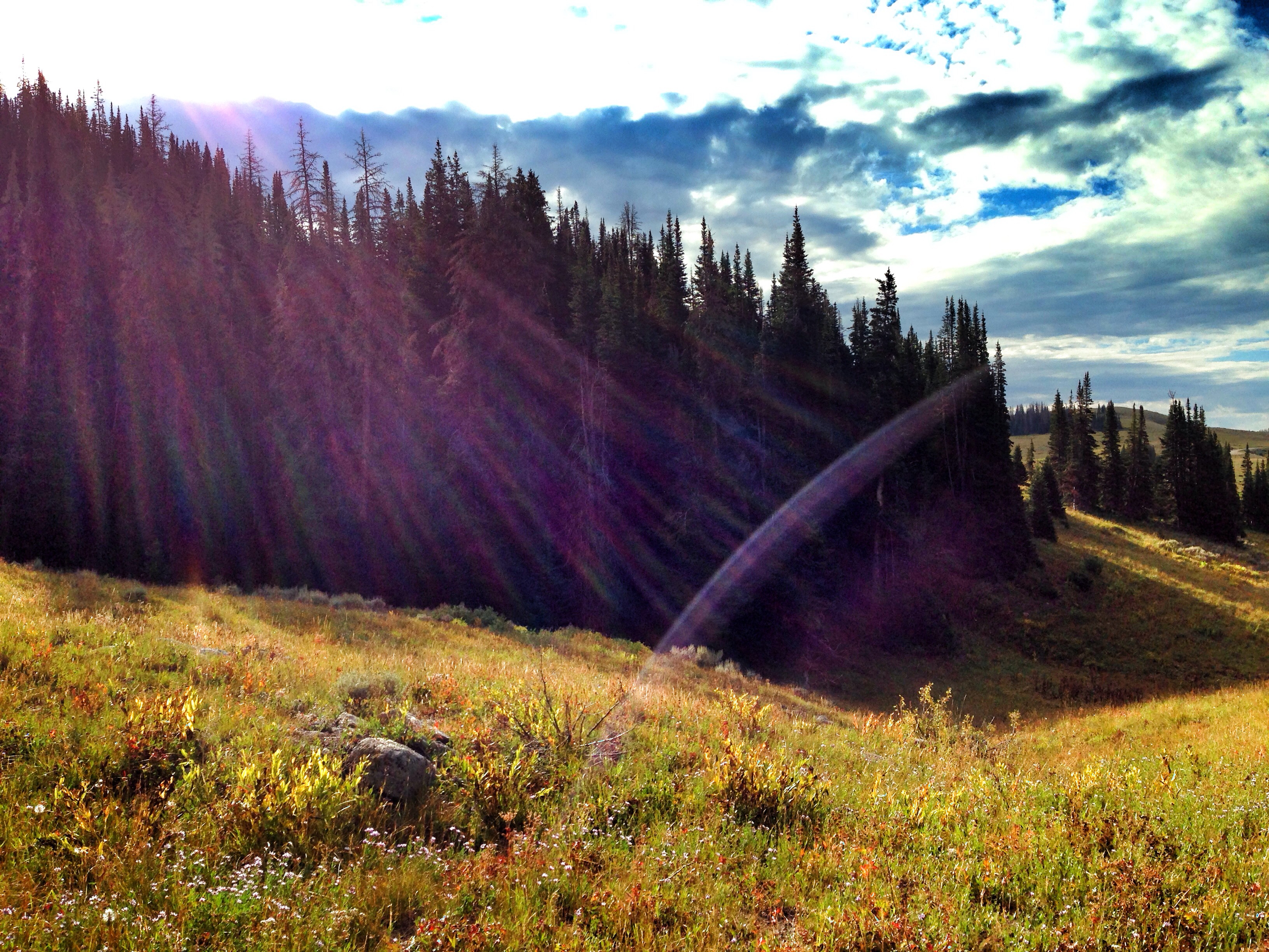
The Unitah mountains
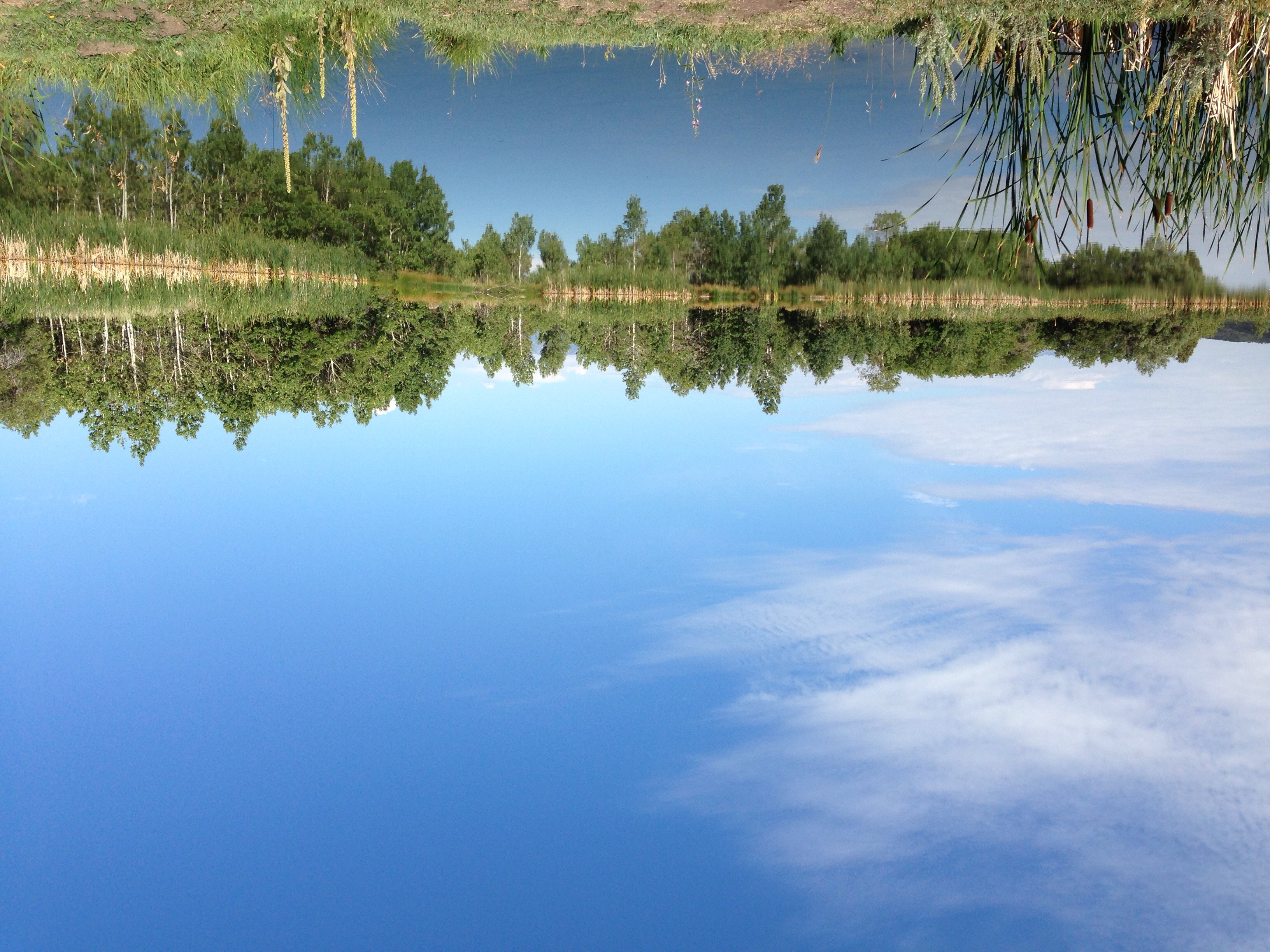
Aspen Lakes with Timp in the background
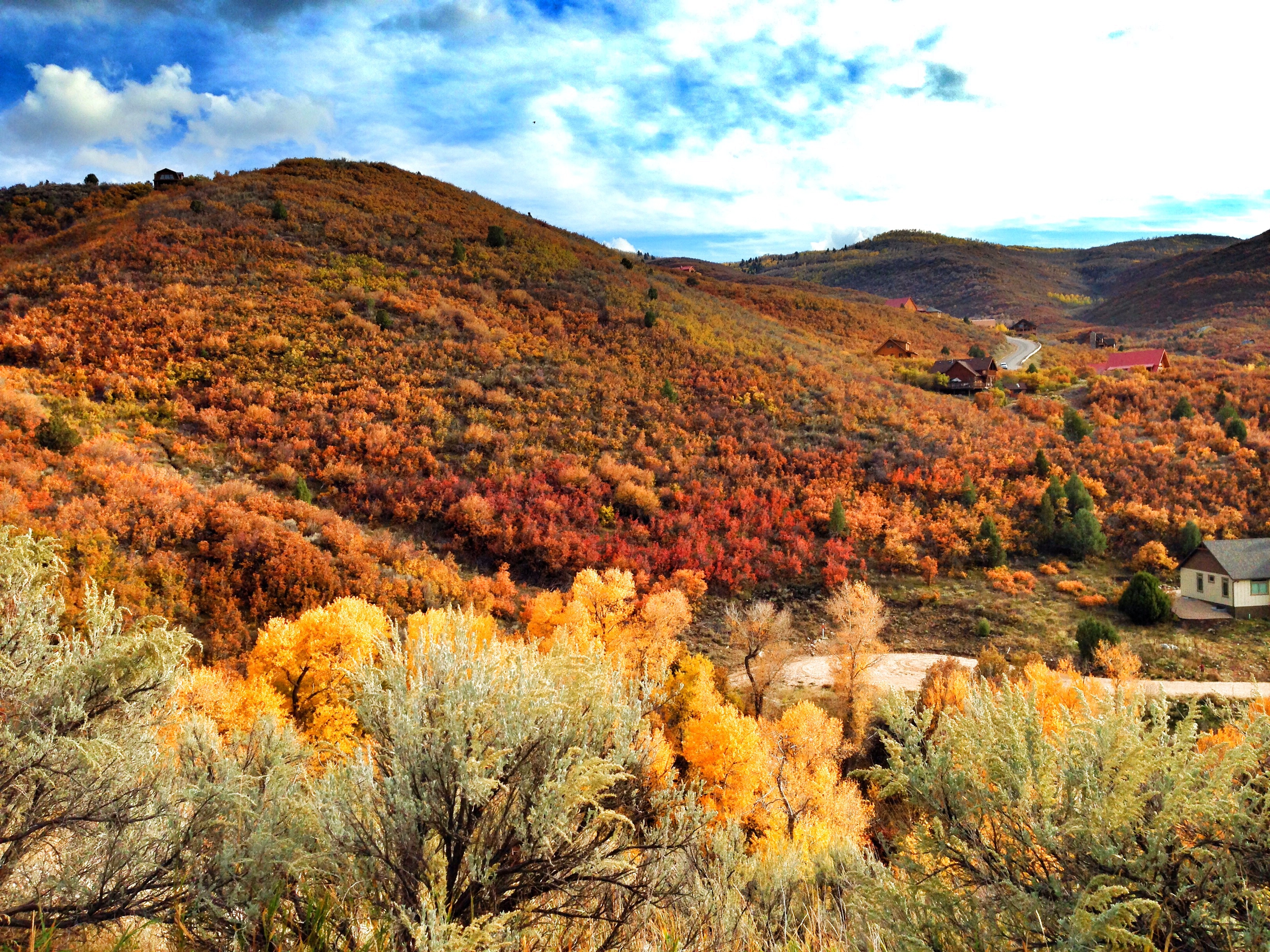
The Unitah mountains

The Unitah mountains
Camping in the Uintah's.

The Unitah mountains
Camping in the Uintah's.

I SPY...
Hey is for horses (I should have known)
Camping the uintah's!
Camping in the Uintah's.

Camping in the Uintah's.
Camping in the Uintah's.
Camping in the Uintah's.
Camping the uintah's!
Camping in the Uintah's.
Topographic Map of Buck Way, Heber City, UT, USA
Find elevation by address:

Places near Buck Way, Heber City, UT, USA:
10818 Tanglewood Dr
Timber Lakes
2735 Timber Lakes Dr
2647 Timber Lakes Dr
9952 Lake Pines Dr
890 Pole Dr
2891 E Cedar Ridge Cir
Red Ledges
Daniels Summit Lodge
Beaver Creek Rd, Kamas, UT, USA
1926 Foothill Dr
Samak
15 W S, Kamas, UT, USA
Francis
2978 River Birch Ln
333 Airport Rd
Daniel
601 Ridge Dr
1595 Callaway Dr
Vintage Airstream Restorations & Repairs
Recent Searches:
- Elevation of Corso Fratelli Cairoli, 35, Macerata MC, Italy
- Elevation of Tallevast Rd, Sarasota, FL, USA
- Elevation of 4th St E, Sonoma, CA, USA
- Elevation of Black Hollow Rd, Pennsdale, PA, USA
- Elevation of Oakland Ave, Williamsport, PA, USA
- Elevation of Pedrógão Grande, Portugal
- Elevation of Klee Dr, Martinsburg, WV, USA
- Elevation of Via Roma, Pieranica CR, Italy
- Elevation of Tavkvetili Mountain, Georgia
- Elevation of Hartfords Bluff Cir, Mt Pleasant, SC, USA