Elevation of Bryan County, GA, USA
Location: United States > Georgia >
Longitude: -81.471838
Latitude: 32.0236584
Elevation: 23m / 75feet
Barometric Pressure: 101KPa
Elevation Map:
Satellite Map:
Related Photos:

Light reached into the swamp.

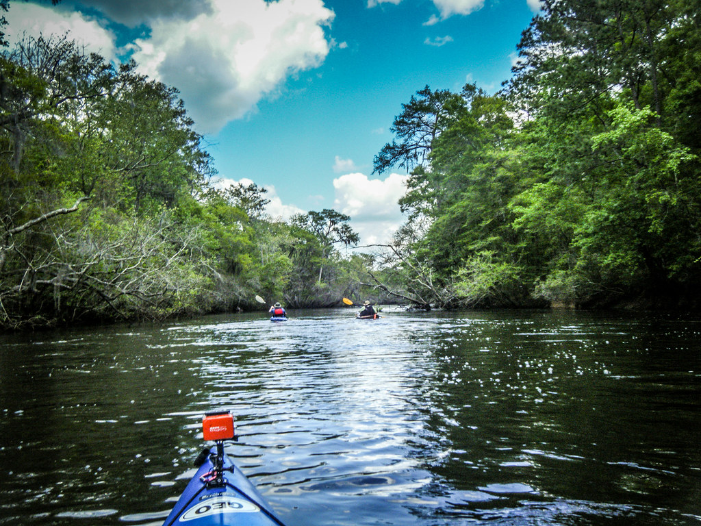
Another look at Black Creek

Ellabell Methodist

heavenly bandit

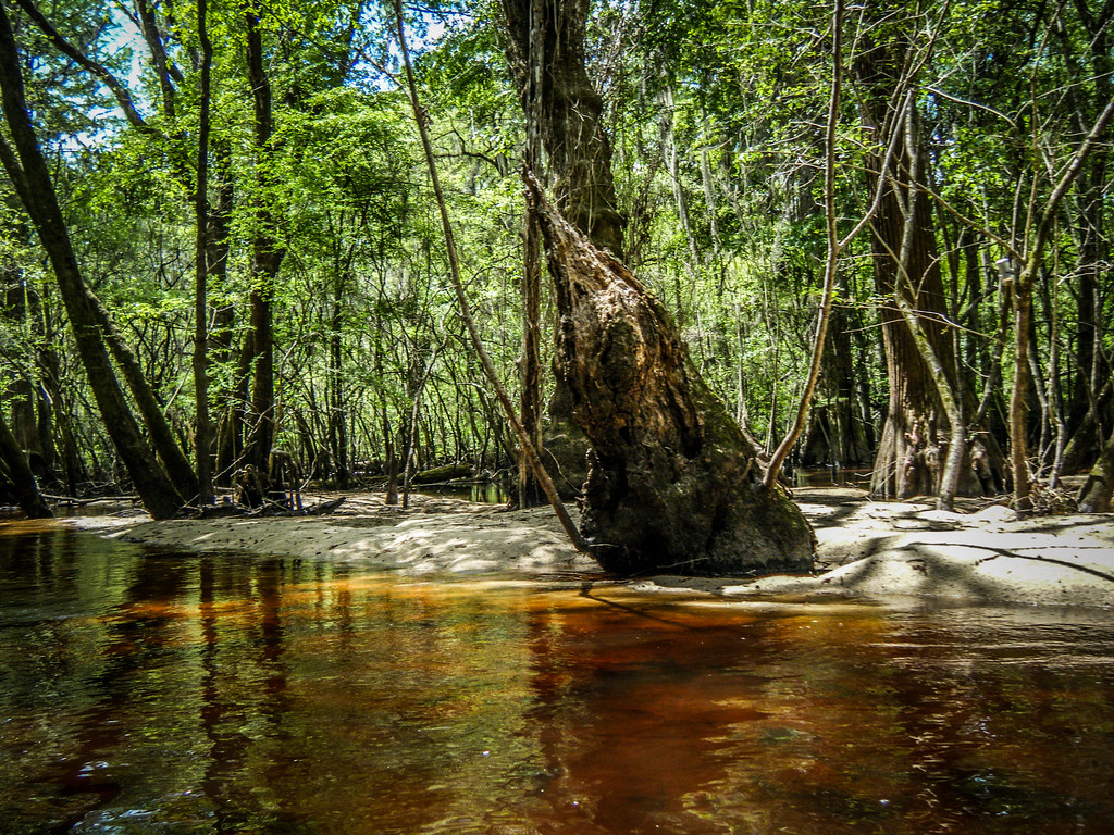
Black Creek Fallen Tree

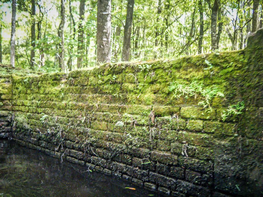
Two Fences and a Canal

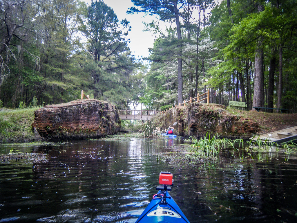
Savannah-Ogeechee Canal

Ogeechee with LCU-43

Ogeechee with LCU-31

Ogeechee with LCU-49
Ogeechee with LCU-68

Ogeechee with LCU-87

Ogeechee with LCU-10

Ogeechee with LCU-85

Ogeechee with LCU-66

Ogeechee with LCU-47

Ogeechee with LCU-57
Ogeechee with LCU-48
Ogeechee with LCU-30
Ogeechee with LCU-25
Ogeechee with LCU-62
Topographic Map of Bryan County, GA, USA
Find elevation by address:

Places in Bryan County, GA, USA:
Places near Bryan County, GA, USA:
933 Mack English Rd
Ellabell
Ellabell, GA, USA
143 Cape Fear Dr
262 Pine Ridge Dr
County Line Beverage
413 Pine Ridge Dr
160 Old River Rd
53-31 Charles Shuman Rd
53-31 Charles Shuman Rd
2435 Fort Argyle Rd
GA-, Ellabell, GA, USA
280 Bonnie Cir
Harleigh Lane
Old River Road
Fort Argyle Road
402 John Carter Rd
376 John Carter Rd
Meldrim
519 Cobblestone Cir
Recent Searches:
- Elevation of Corso Fratelli Cairoli, 35, Macerata MC, Italy
- Elevation of Tallevast Rd, Sarasota, FL, USA
- Elevation of 4th St E, Sonoma, CA, USA
- Elevation of Black Hollow Rd, Pennsdale, PA, USA
- Elevation of Oakland Ave, Williamsport, PA, USA
- Elevation of Pedrógão Grande, Portugal
- Elevation of Klee Dr, Martinsburg, WV, USA
- Elevation of Via Roma, Pieranica CR, Italy
- Elevation of Tavkvetili Mountain, Georgia
- Elevation of Hartfords Bluff Cir, Mt Pleasant, SC, USA