Elevation of Bonnie Cir, Ellabell, GA, USA
Location: United States > Georgia > Bryan County > Ellabell >
Longitude: -81.51497
Latitude: 32.1381963
Elevation: 22m / 72feet
Barometric Pressure: 101KPa
Elevation Map:
Satellite Map:
Related Photos:
Mrs. Tindol's View
Tos Theatre
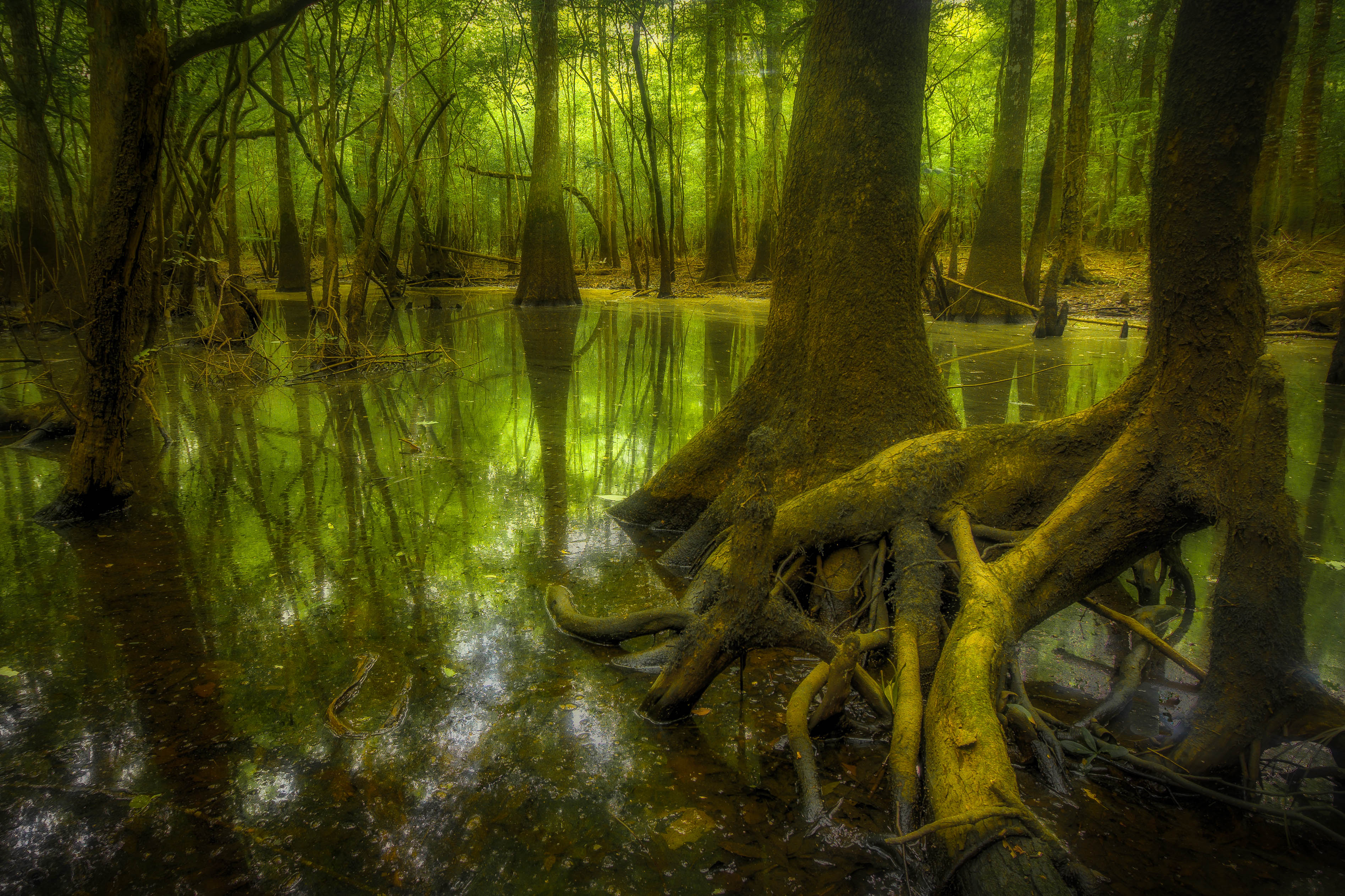
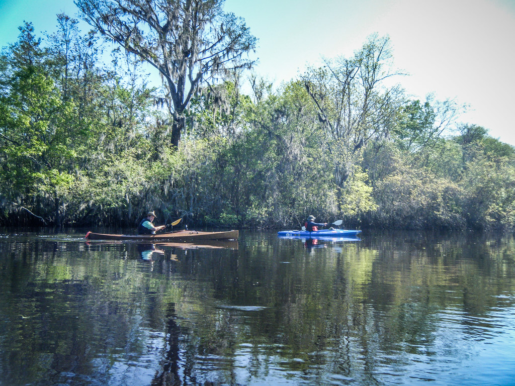
Ogeechee River swamp
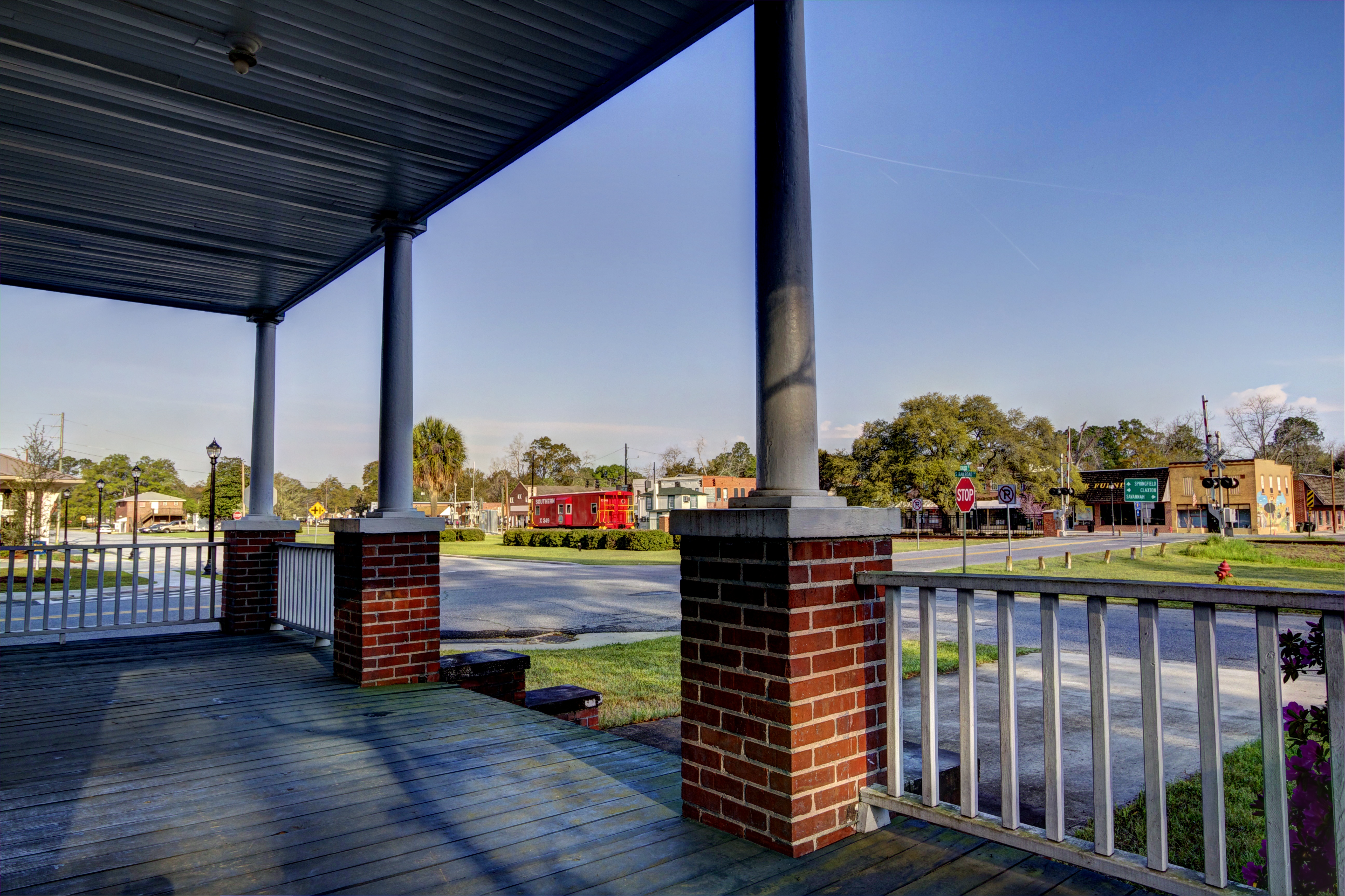
Pembroke Caboose

How the day begins down by the pond

Light reached into the swamp.
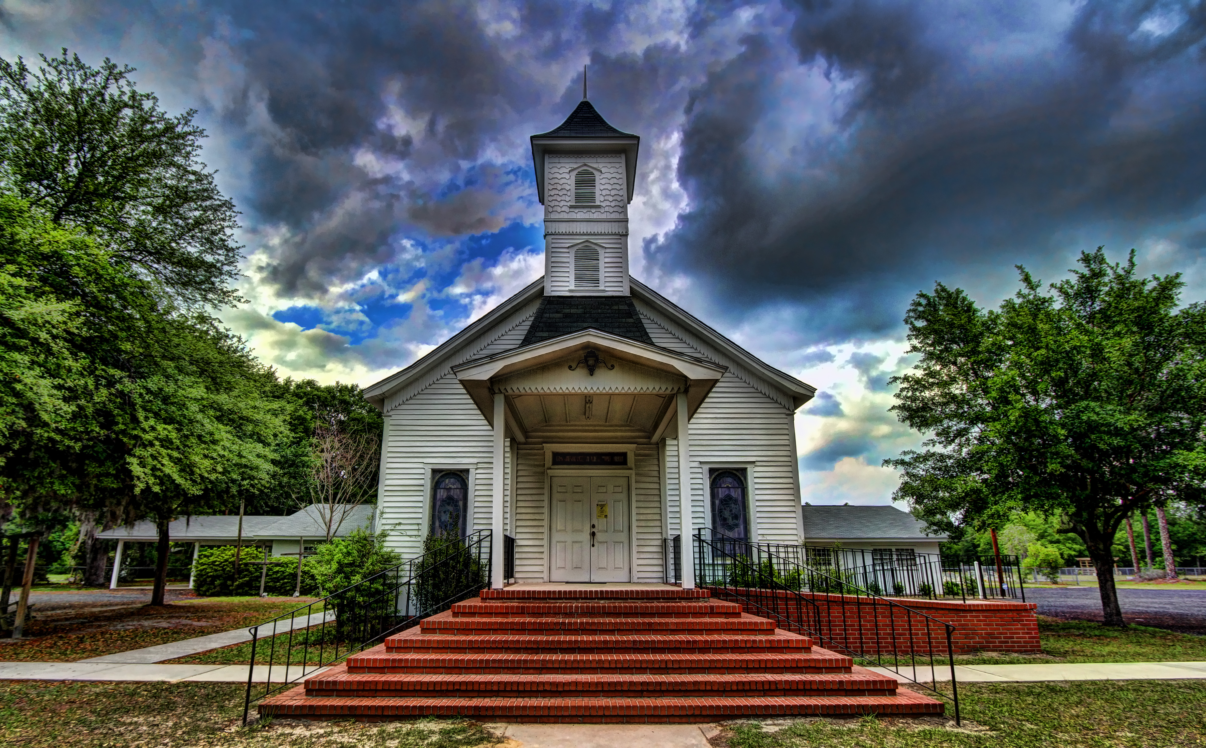
Ellabell Methodist

Not a desert

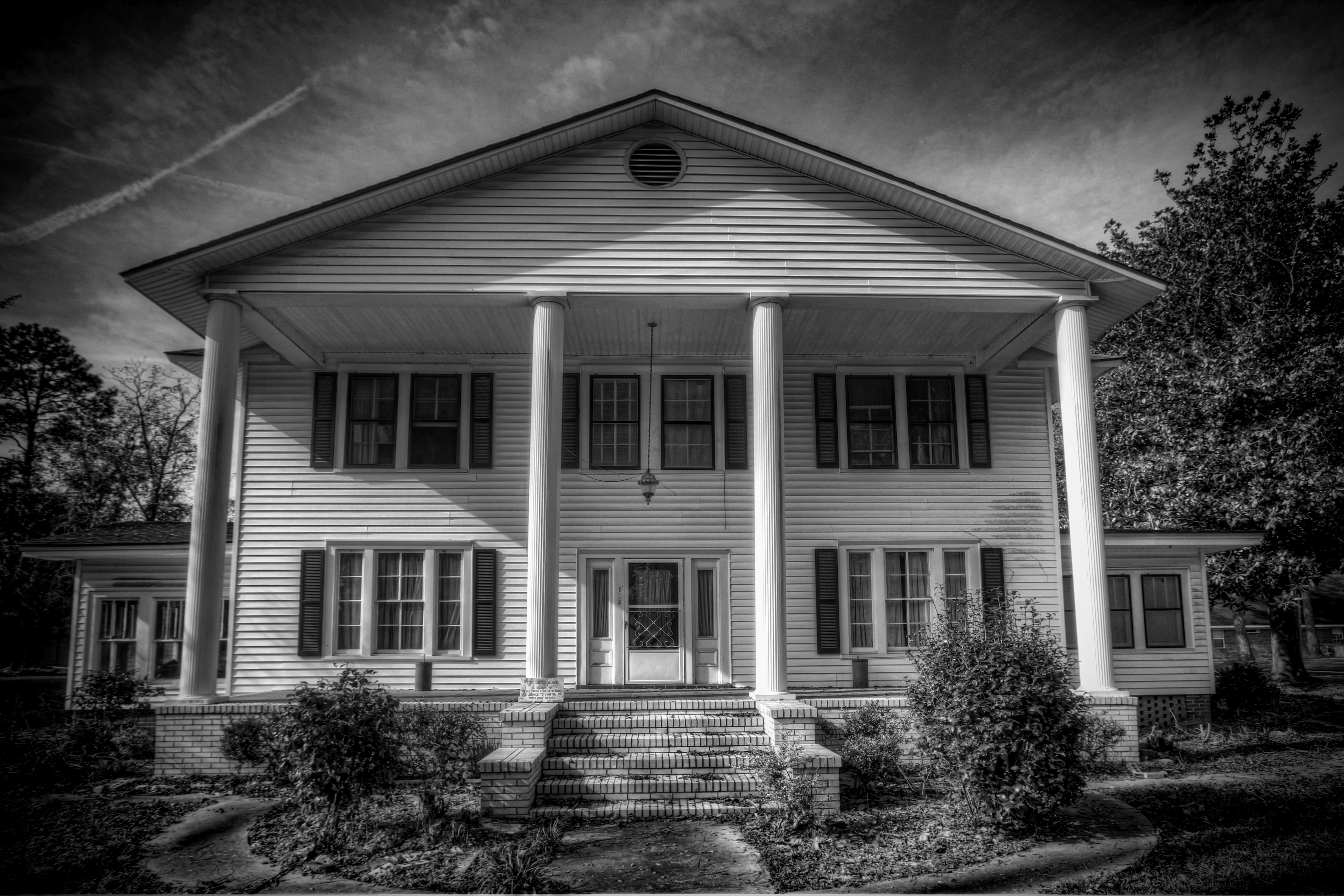
Farm House

Black Creek Fallen Tree
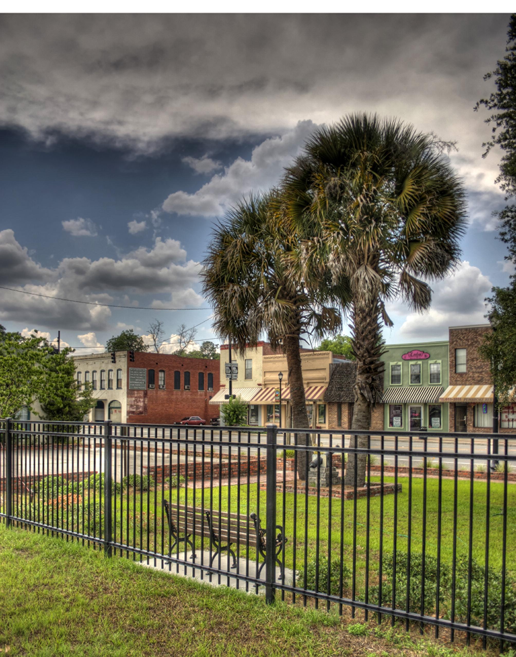
Downtown benches
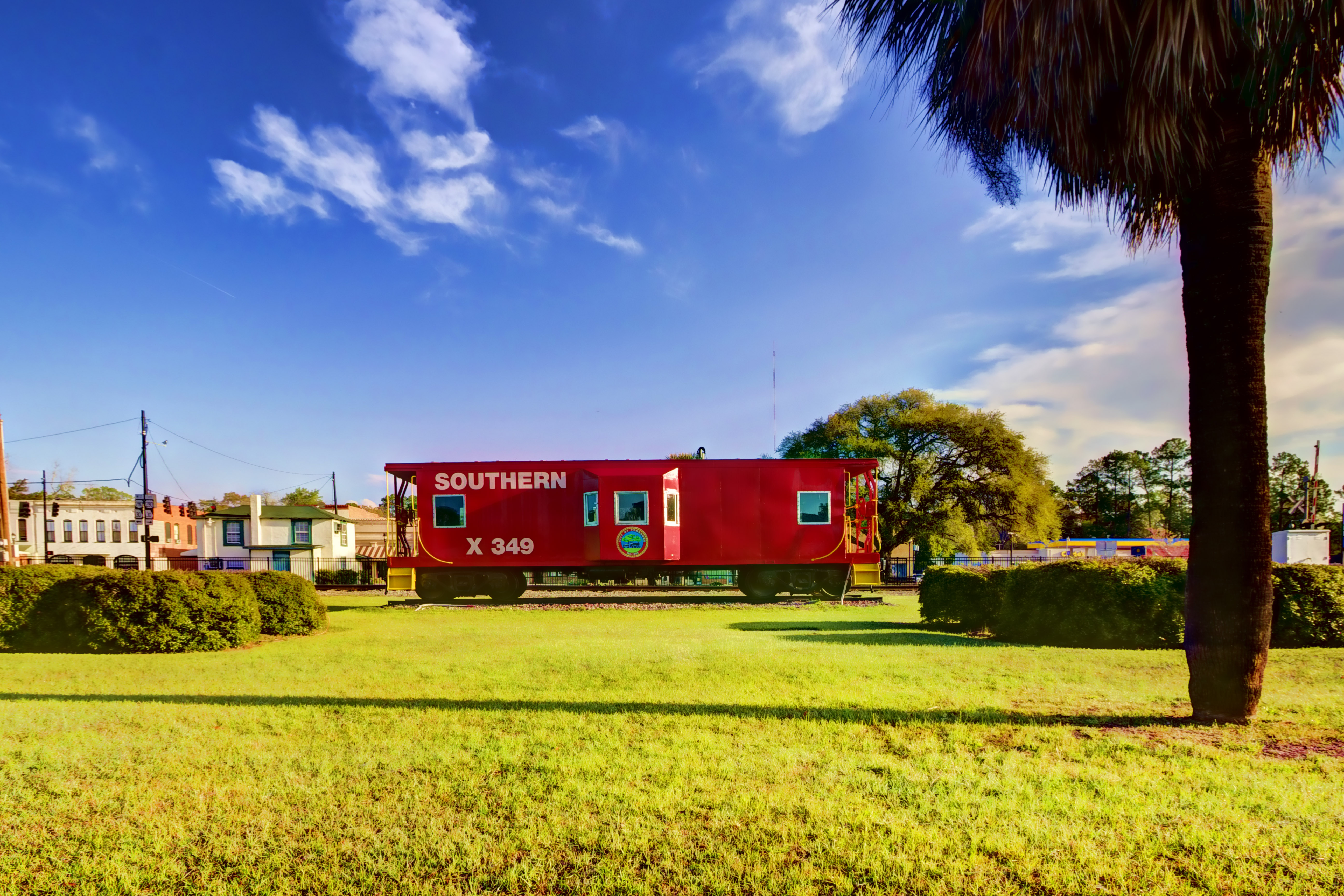
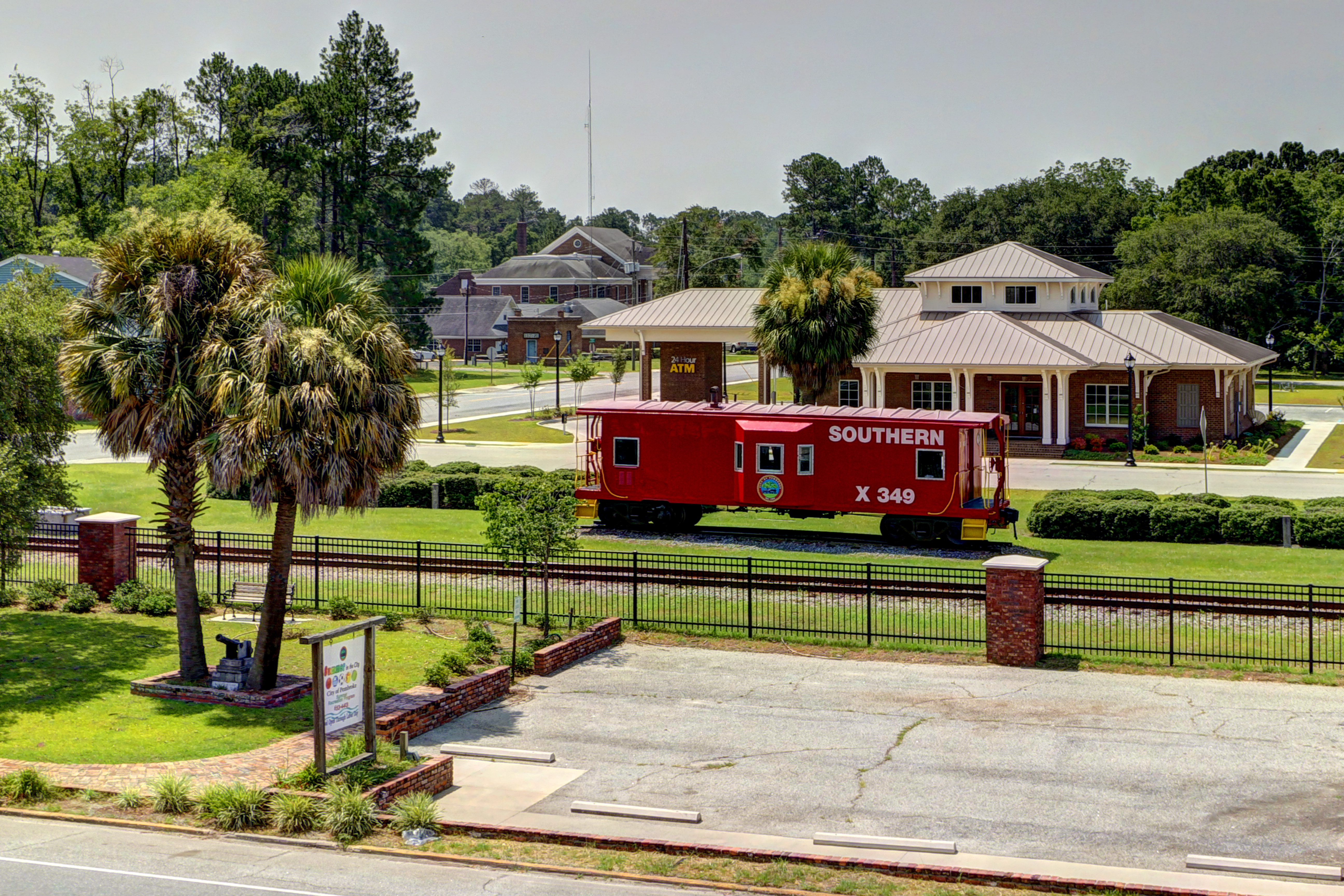
Caboose and cabbage palm
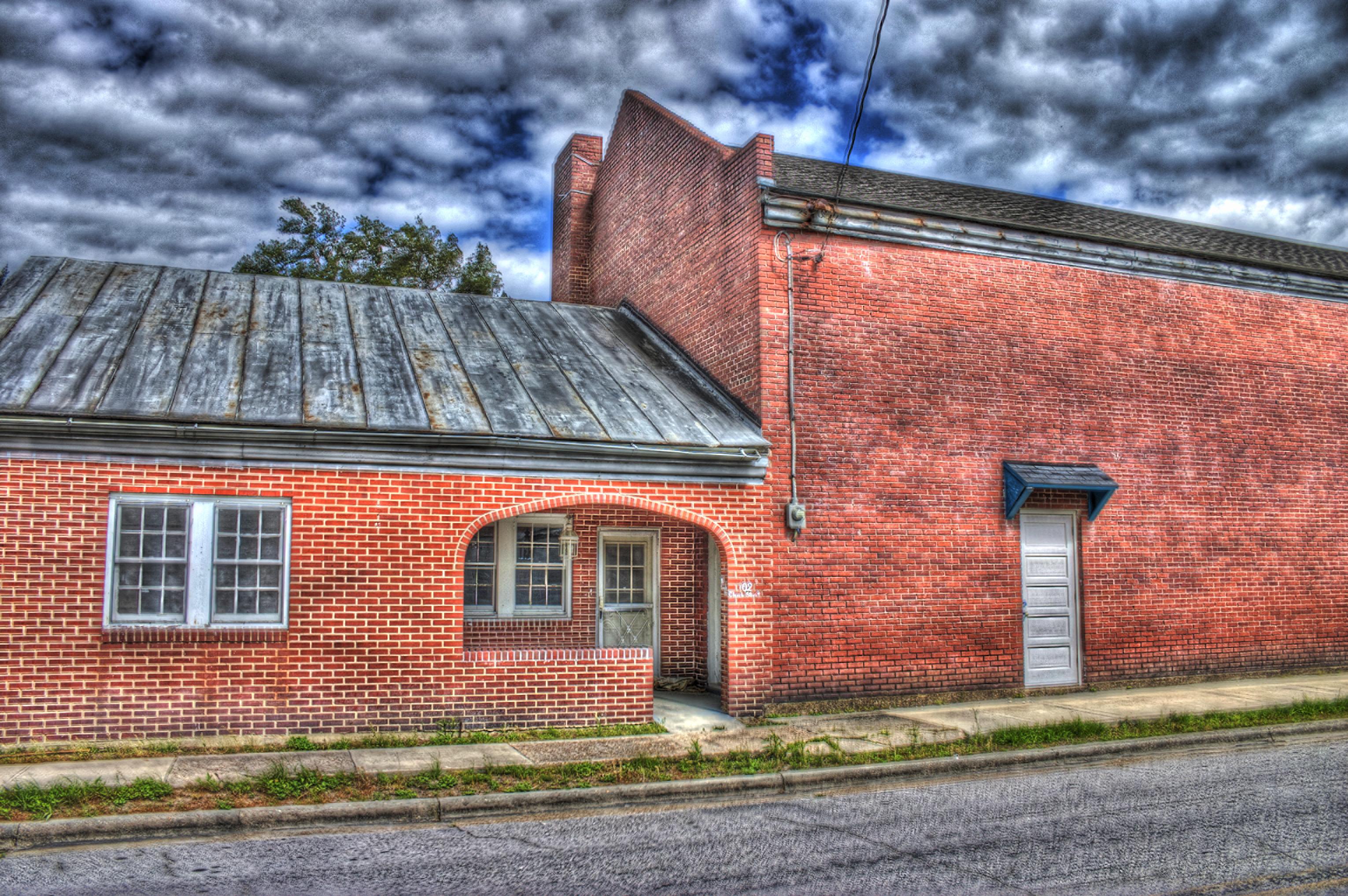
Dr. Gene's House

Ogeechee with LCU-10
Ogeechee with LCU-6
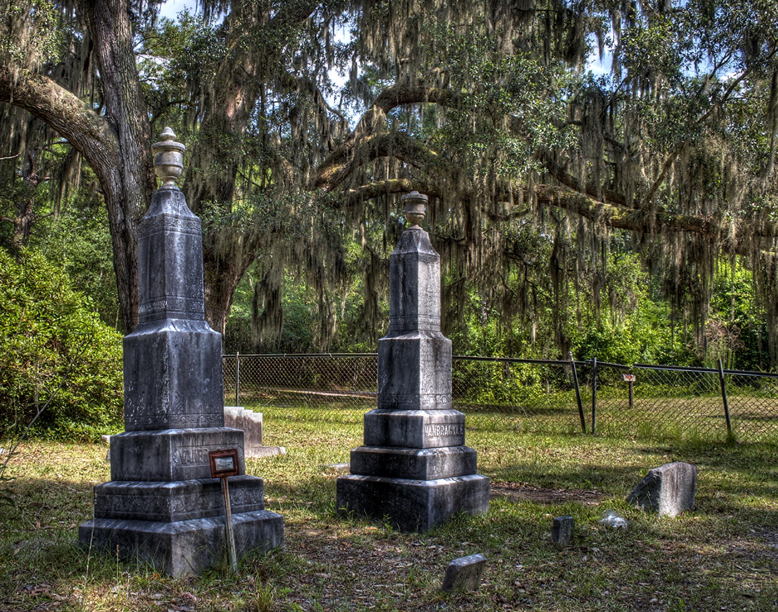
Double monuments

Ogeechee with LCU-13
Topographic Map of Bonnie Cir, Ellabell, GA, USA
Find elevation by address:

Places near Bonnie Cir, Ellabell, GA, USA:
Harleigh Lane
GA-, Ellabell, GA, USA
413 Pine Ridge Dr
262 Pine Ridge Dr
53-31 Charles Shuman Rd
53-31 Charles Shuman Rd
933 Mack English Rd
Ellabell
Ellabell, GA, USA
452 Bluff Dr
Bryan County
311 Old Rail Rd
519 Cobblestone Cir
Old River Road
404 Gravel Way
Meldrim
160 Old River Rd
County Line Beverage
143 Cape Fear Dr
120 George Rd
Recent Searches:
- Elevation of Corso Fratelli Cairoli, 35, Macerata MC, Italy
- Elevation of Tallevast Rd, Sarasota, FL, USA
- Elevation of 4th St E, Sonoma, CA, USA
- Elevation of Black Hollow Rd, Pennsdale, PA, USA
- Elevation of Oakland Ave, Williamsport, PA, USA
- Elevation of Pedrógão Grande, Portugal
- Elevation of Klee Dr, Martinsburg, WV, USA
- Elevation of Via Roma, Pieranica CR, Italy
- Elevation of Tavkvetili Mountain, Georgia
- Elevation of Hartfords Bluff Cir, Mt Pleasant, SC, USA