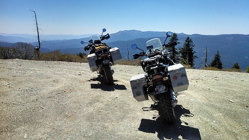
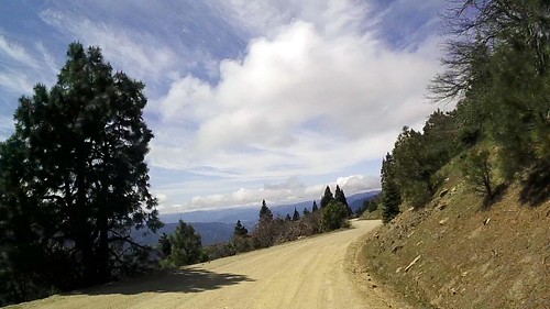
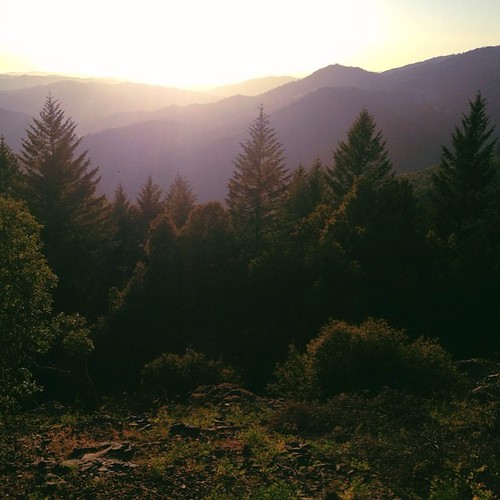
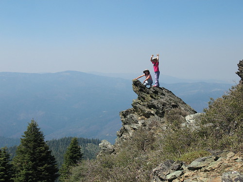
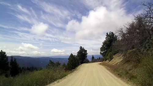
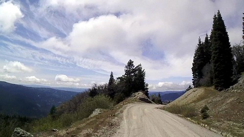
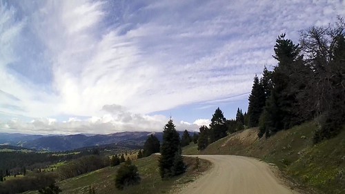
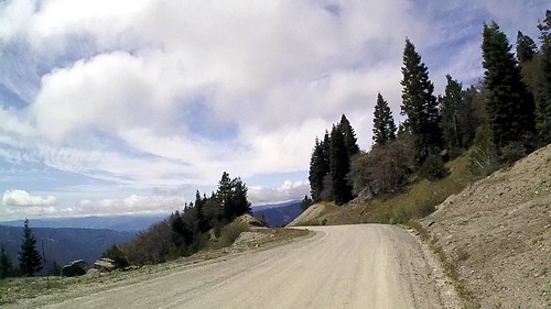
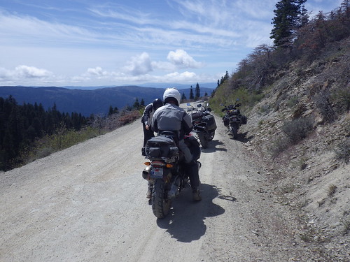
Elevation of Brushy Mountain, California, USA
Location: United States > California > Glenn County >
Longitude: -122.8525
Latitude: 39.6646007
Elevation: 2041m / 6696feet
Barometric Pressure: 79KPa
Related Photos:
Topographic Map of Brushy Mountain, California, USA
Find elevation by address:

Places near Brushy Mountain, California, USA:
Atchison Campground
Spruce Grove Campground
Valley View Conservation Camp #34
Hull Mountain
41380 Mendocino Pass Rd
41380 Mendocino Pass Rd
Mendocino Pass Rd, Covelo, CA, USA
Saddle Camp Road
3327 Saddle Camp Rd
3227 Saddle Camp Rd
Salmon Creek Road
Simmons Road
Road 308
Pogie Point Campground
Forest Highway 7 & Alder Springs Road
Lake Pillsbury
Lake Pillsbury Resort
Little Doe Campground
Eden Valley Ranch Rd, Willits, CA, USA
27363 Elk Mountain Rd
Recent Searches:
- Elevation of Corso Fratelli Cairoli, 35, Macerata MC, Italy
- Elevation of Tallevast Rd, Sarasota, FL, USA
- Elevation of 4th St E, Sonoma, CA, USA
- Elevation of Black Hollow Rd, Pennsdale, PA, USA
- Elevation of Oakland Ave, Williamsport, PA, USA
- Elevation of Pedrógão Grande, Portugal
- Elevation of Klee Dr, Martinsburg, WV, USA
- Elevation of Via Roma, Pieranica CR, Italy
- Elevation of Tavkvetili Mountain, Georgia
- Elevation of Hartfords Bluff Cir, Mt Pleasant, SC, USA
