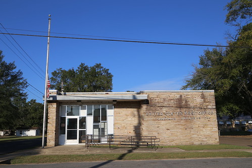
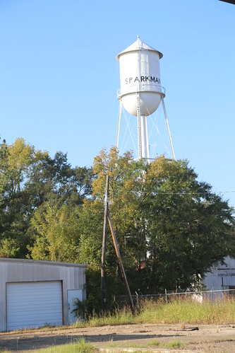
Elevation of Brown Rd, Gurdon, AR, USA
Location: United States > Arkansas > Clark County > Caddo > Gurdon >
Longitude: -92.959042
Latitude: 33.828037
Elevation: 45m / 148feet
Barometric Pressure: 101KPa
Related Photos:
Topographic Map of Brown Rd, Gurdon, AR, USA
Find elevation by address:

Places near Brown Rd, Gurdon, AR, USA:
50 McGill Ford Rd, Gurdon, AR, USA
Kansas Rd, Arkadelphia, AR, USA
Little Missouri River
Cagletown Rd, Arkadelphia, AR, USA
Red Springs Rd, Gurdon, AR, USA
Owen Township
State Hwy, Sparkman, AR, USA
Sparkman
State Hwy, Prescott, AR, USA
AR-53, Gurdon, AR, USA
Smithton Rd, Gurdon, AR, USA
Gurdon
AR-8, Arkadelphia, AR, USA
Curtis Rd, Gurdon, AR, USA
AR-7, Arkadelphia, AR, USA
Richwoods Rd, Arkadelphia, AR, USA
State Hwy 51, Gurdon, AR, USA
Manchester Township
Gum Springs
AR-51, Arkadelphia, AR, USA
Recent Searches:
- Elevation of Corso Fratelli Cairoli, 35, Macerata MC, Italy
- Elevation of Tallevast Rd, Sarasota, FL, USA
- Elevation of 4th St E, Sonoma, CA, USA
- Elevation of Black Hollow Rd, Pennsdale, PA, USA
- Elevation of Oakland Ave, Williamsport, PA, USA
- Elevation of Pedrógão Grande, Portugal
- Elevation of Klee Dr, Martinsburg, WV, USA
- Elevation of Via Roma, Pieranica CR, Italy
- Elevation of Tavkvetili Mountain, Georgia
- Elevation of Hartfords Bluff Cir, Mt Pleasant, SC, USA


