Elevation of Brookline, VT, USA
Location: United States > Vermont > Windham County >
Longitude: -72.601480
Latitude: 43.0317464
Elevation: 174m / 571feet
Barometric Pressure: 99KPa
Elevation Map:
Satellite Map:
Related Photos:

Bombus griseocollis,ocelli view, Rockingham, 5/22/2012
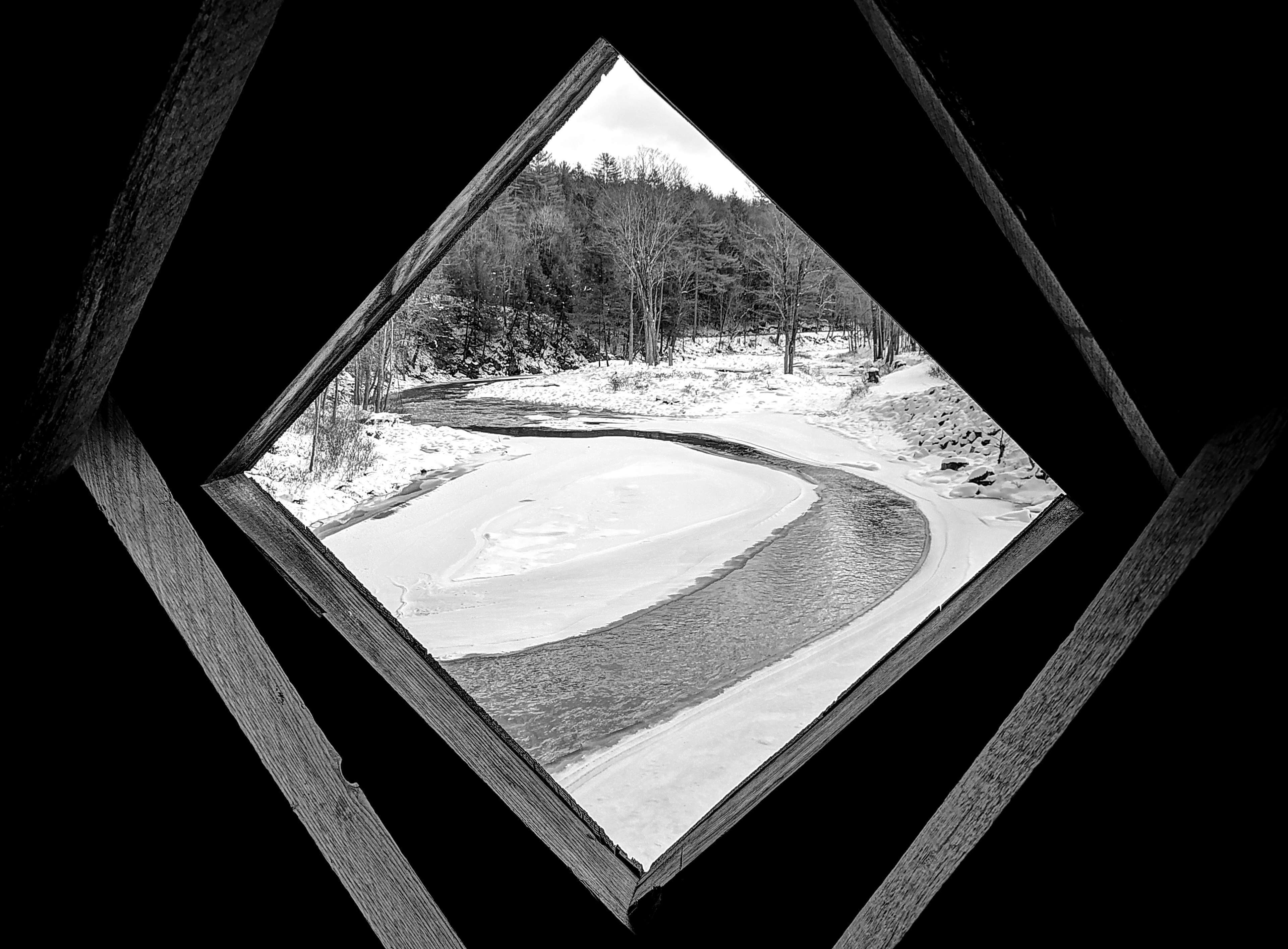
an opening in the lattice

MY Little Chickadee!
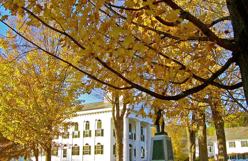
VTNewfaneCommon006.jpg

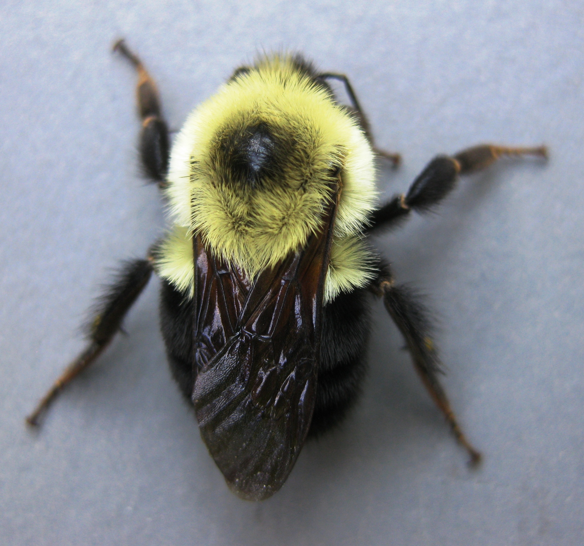
Bombus griseocollis, top view, Rockingham, 5/22/2012
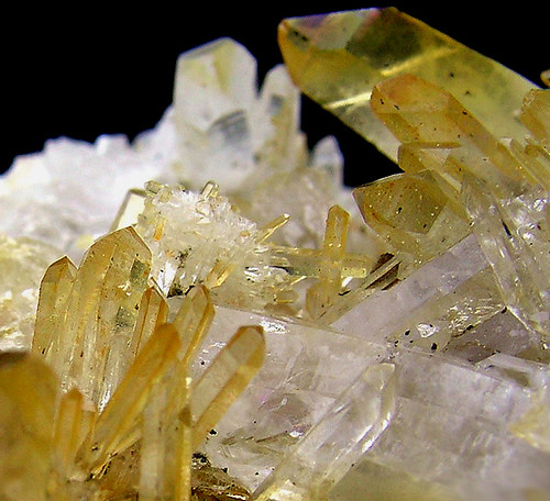
Quartz - New Hampshire (4)
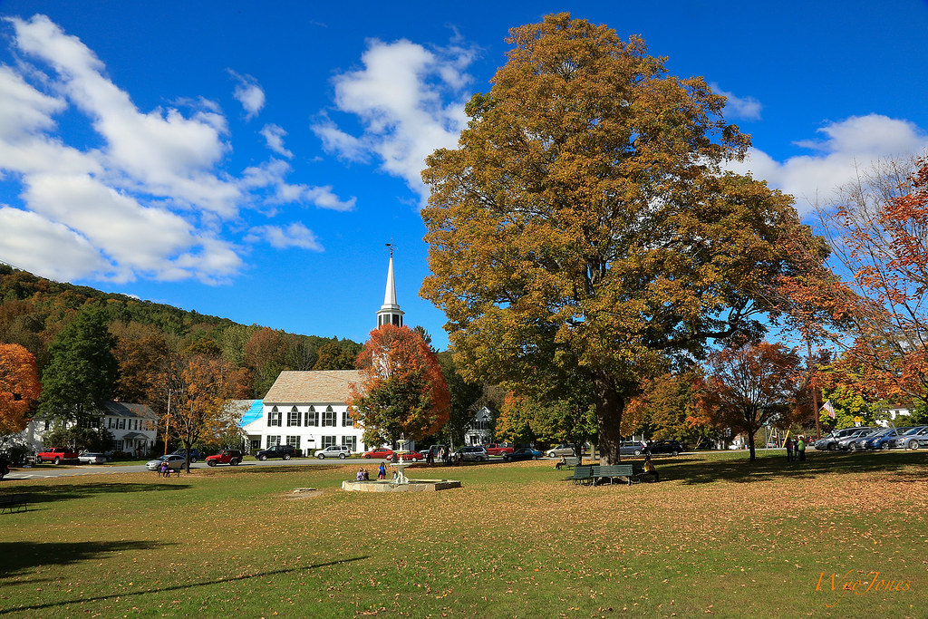
Townshend Village Green
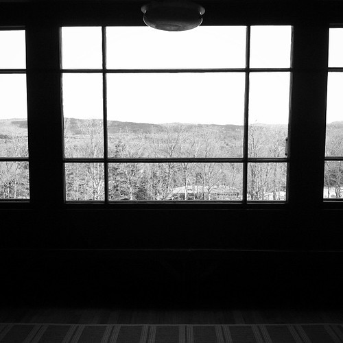
View from the Hall
View from the loggia at Rudyard Kipling's home "Naulahka" in Dummerston,Vt.
Bombus Bimaculatus queen
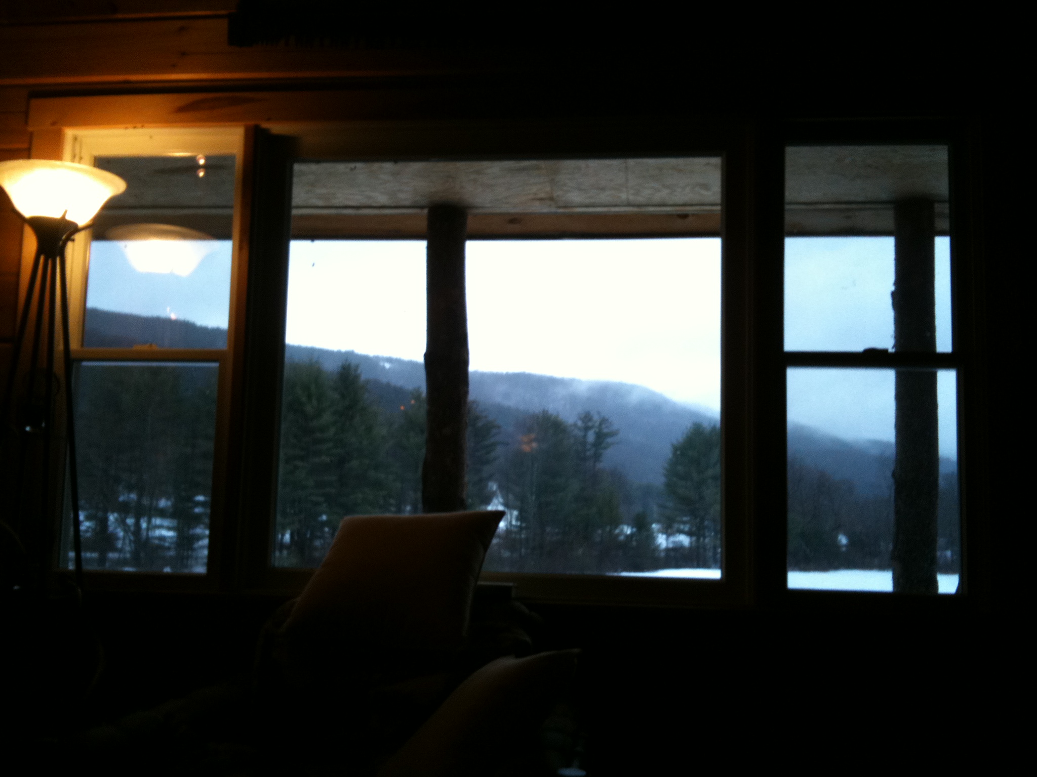
The view from the cabin window
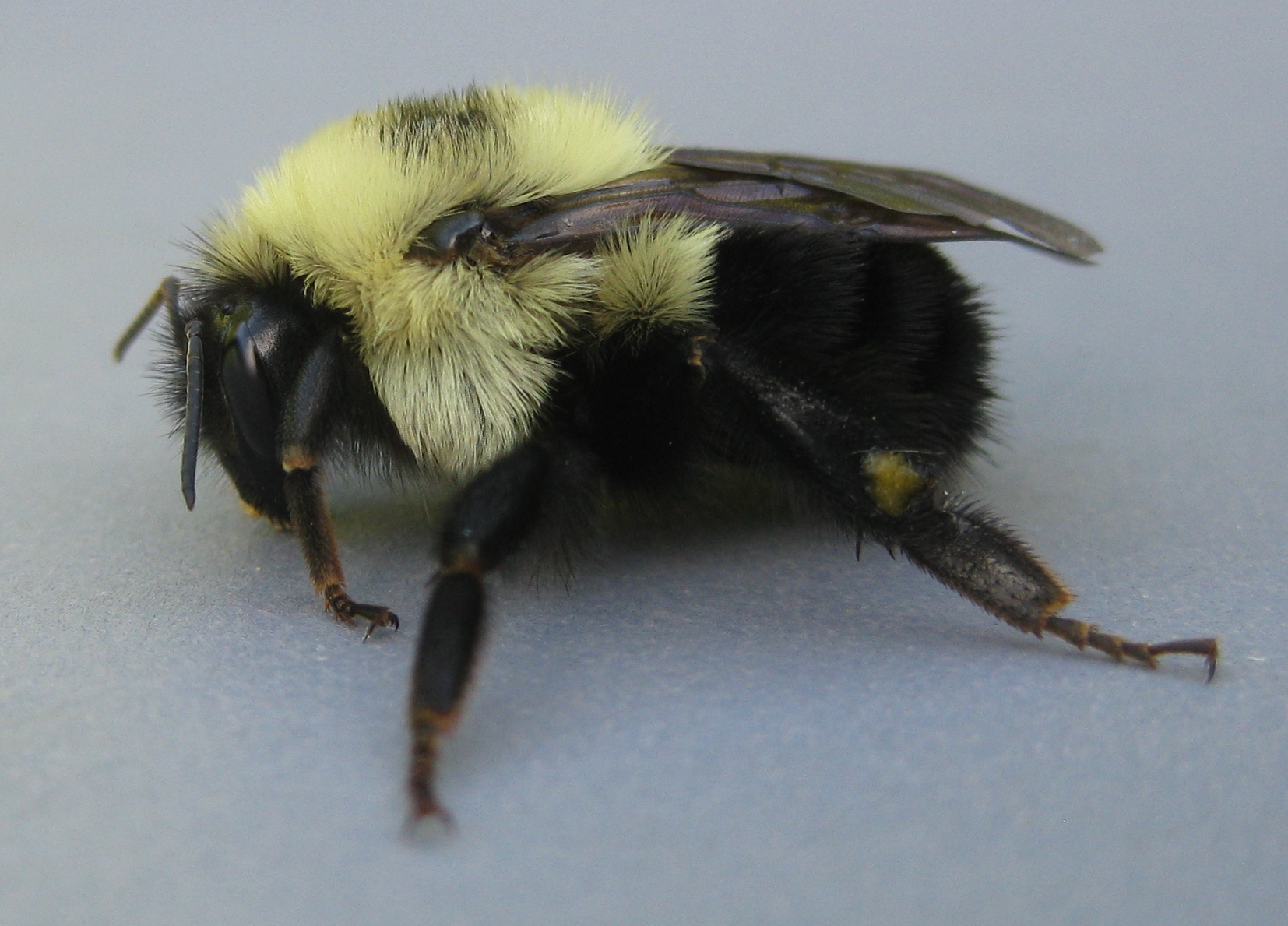
Bombus Bimaculatus queen
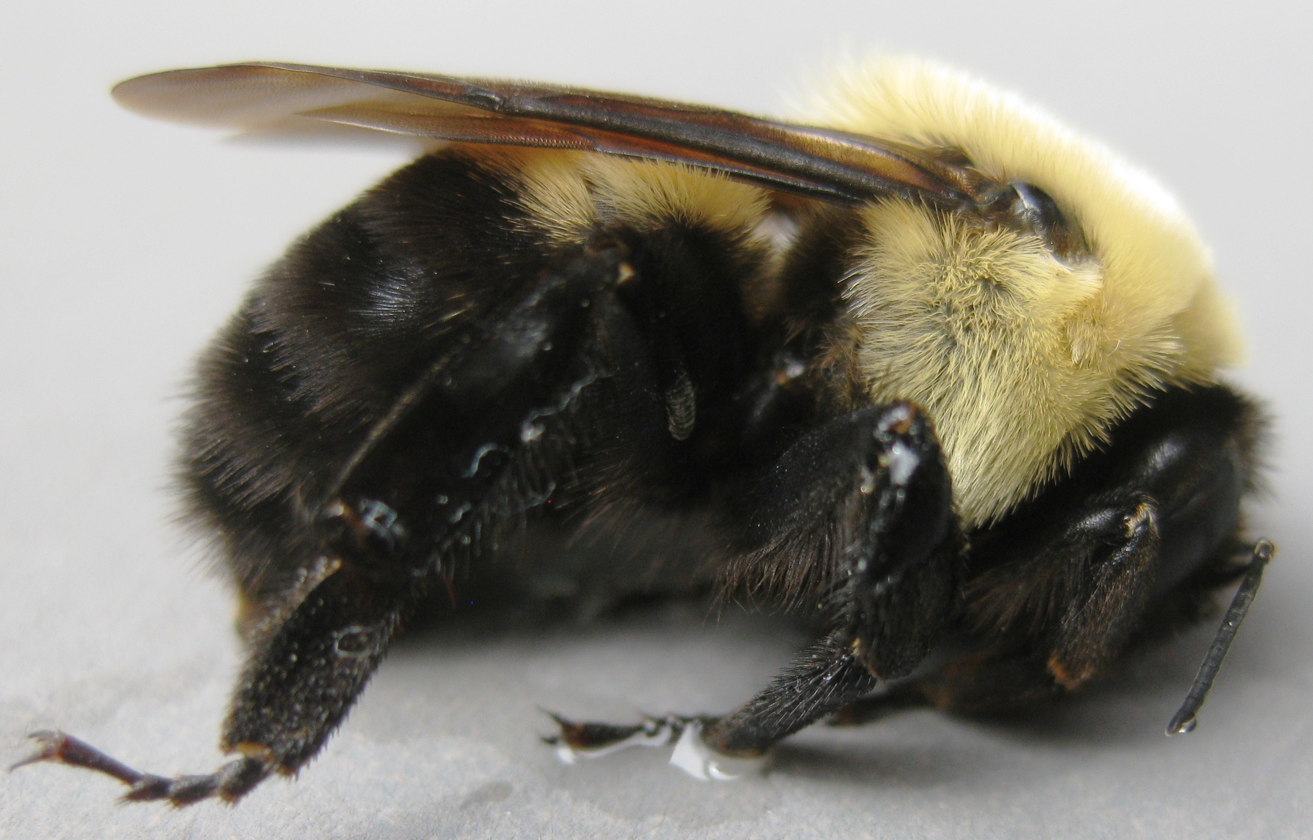
Bombus griseocollis, under wing view, Rockingham, 5/22/2012

At Last!!! A Green Heron!!
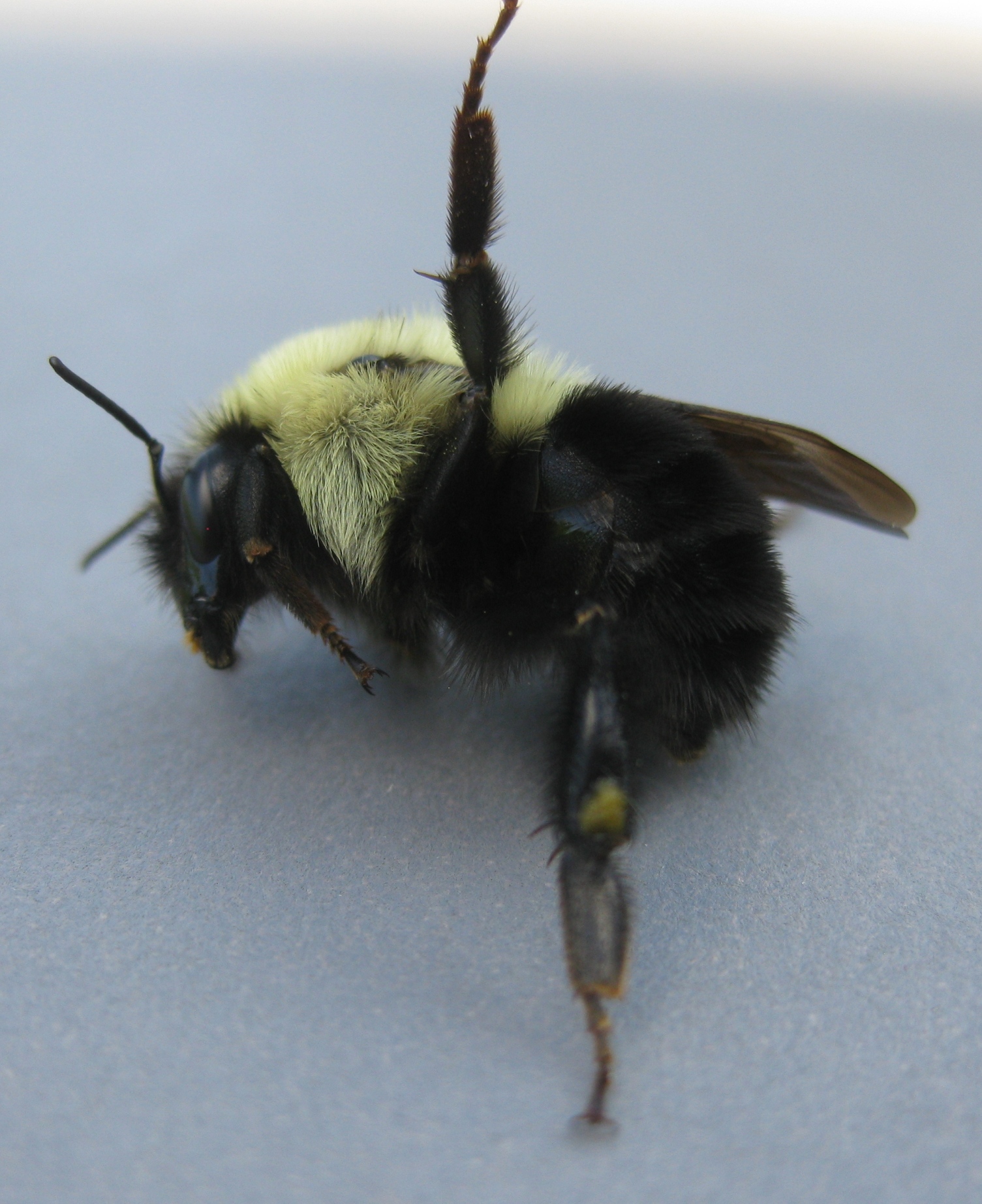
Bombus Bimaculatus queen
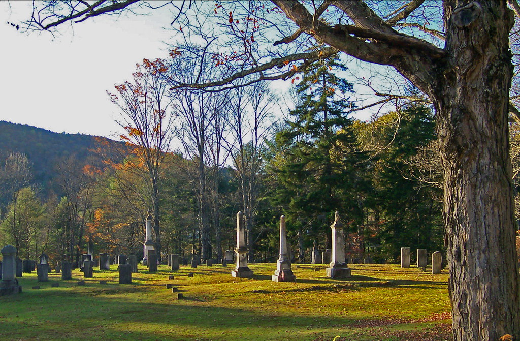
VTNewfaneCemetery002.jpg

How Sweet It Is!!!!
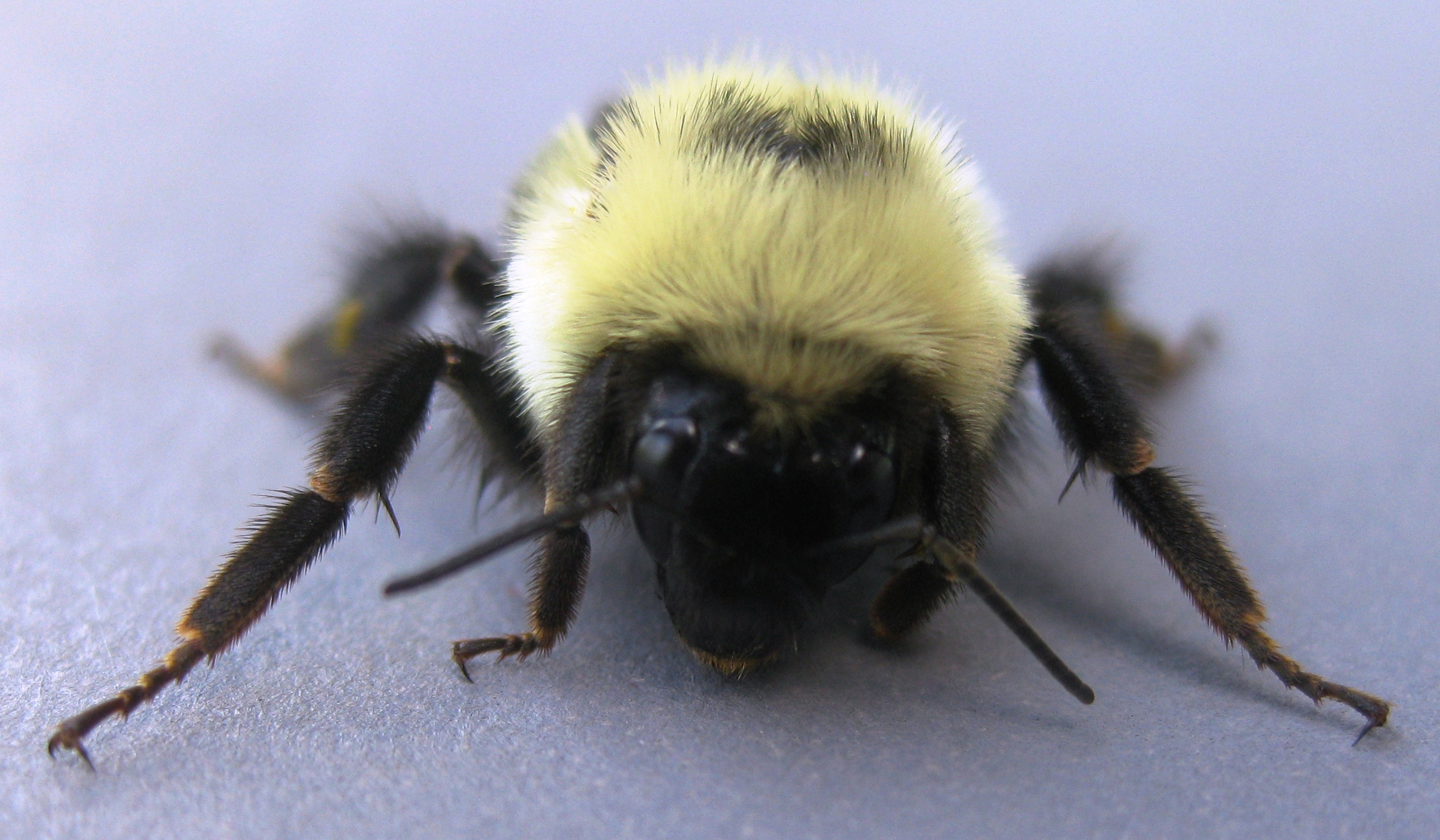
Bombus Bimaculatus queen
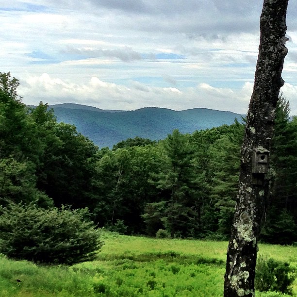
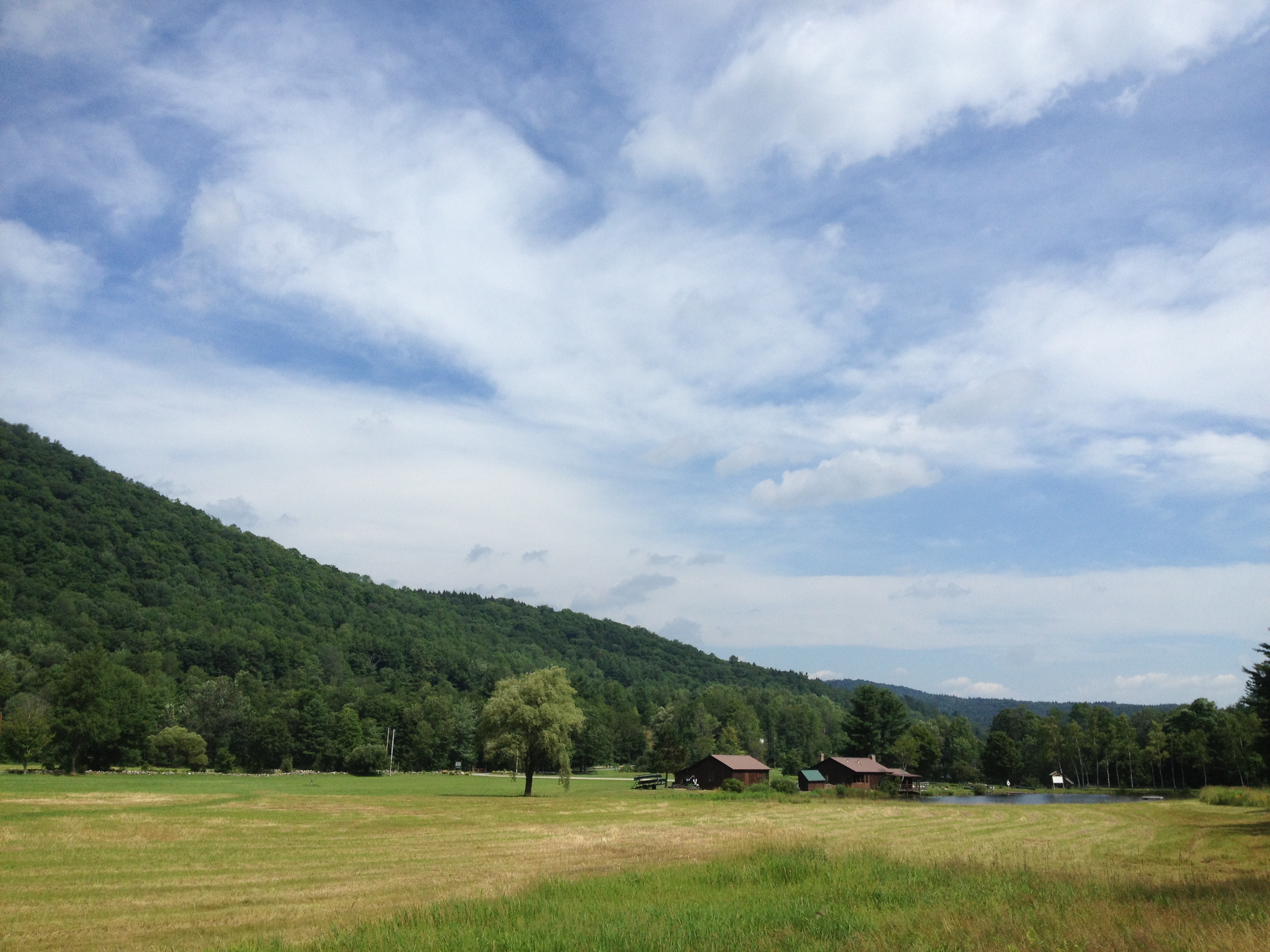
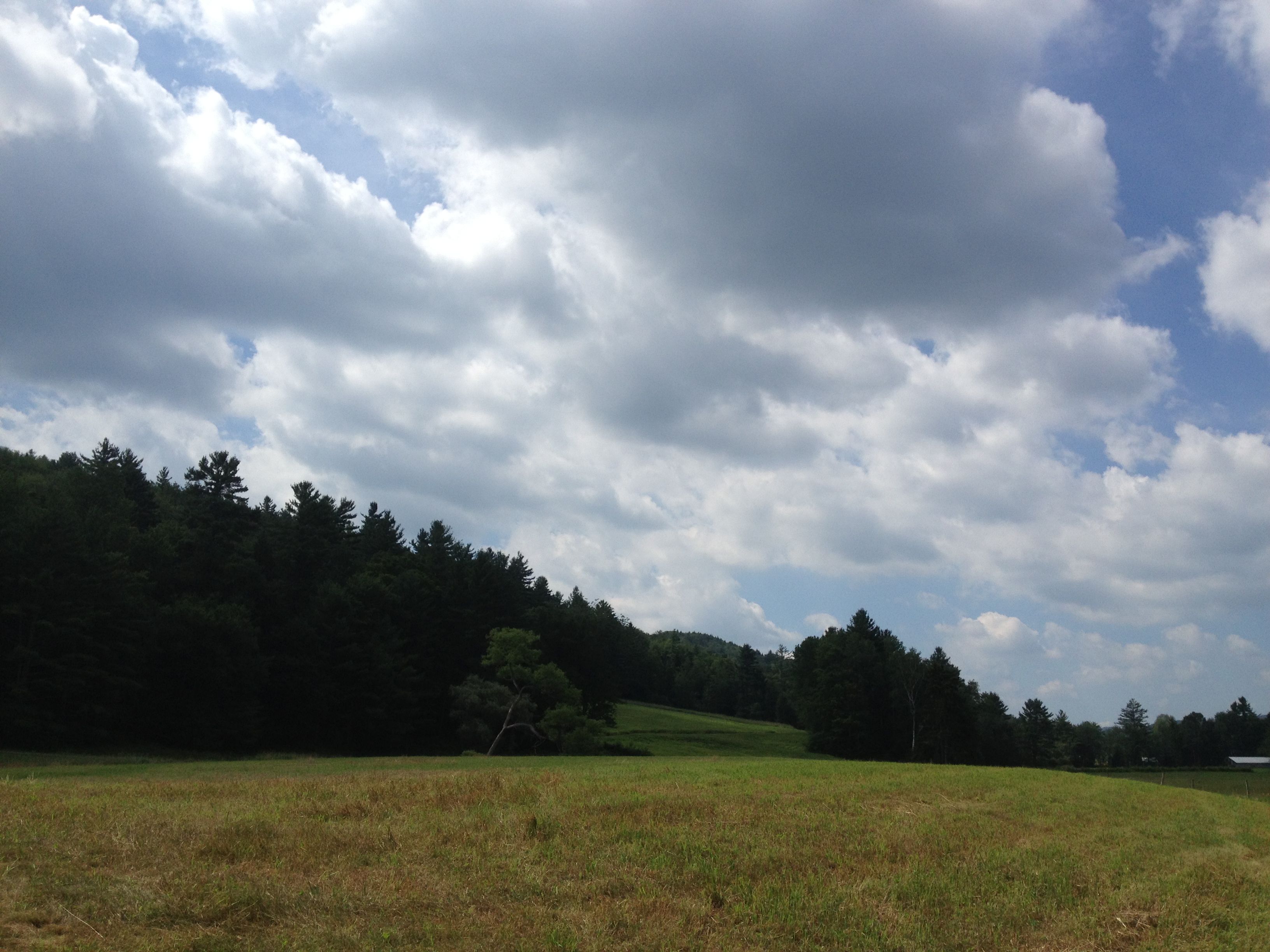
View from Frog Meadow, Vermont

Pitch Pine Understory

More views
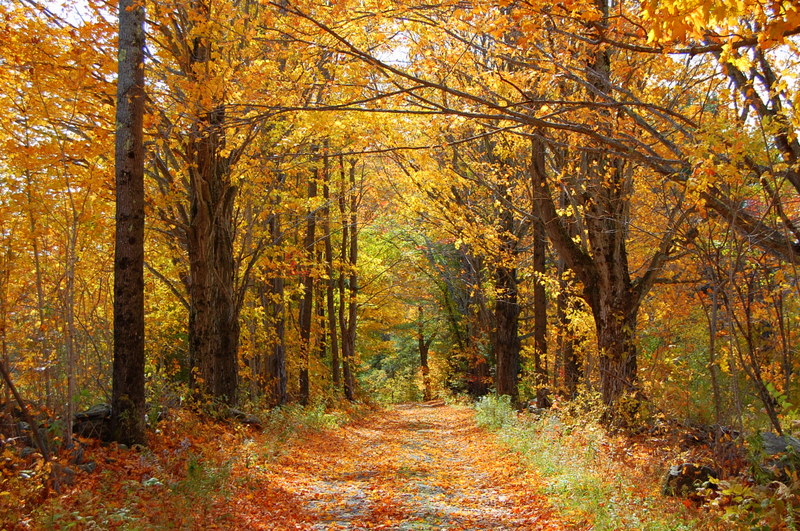
Country Roads (Explored)
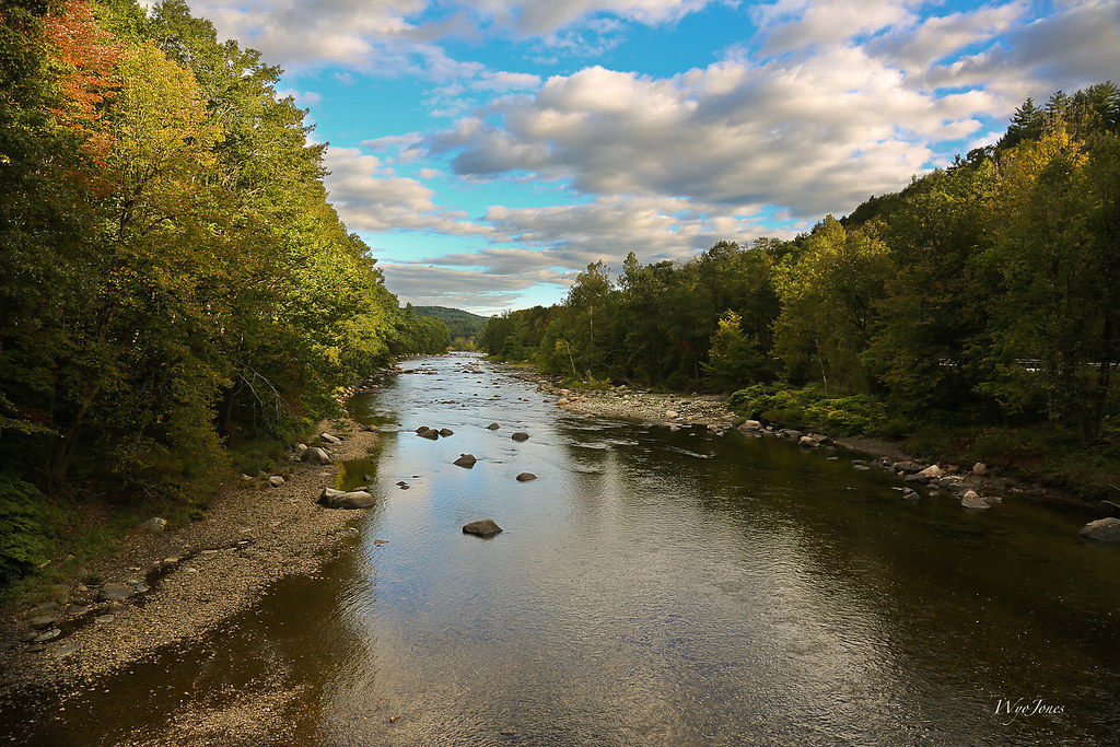
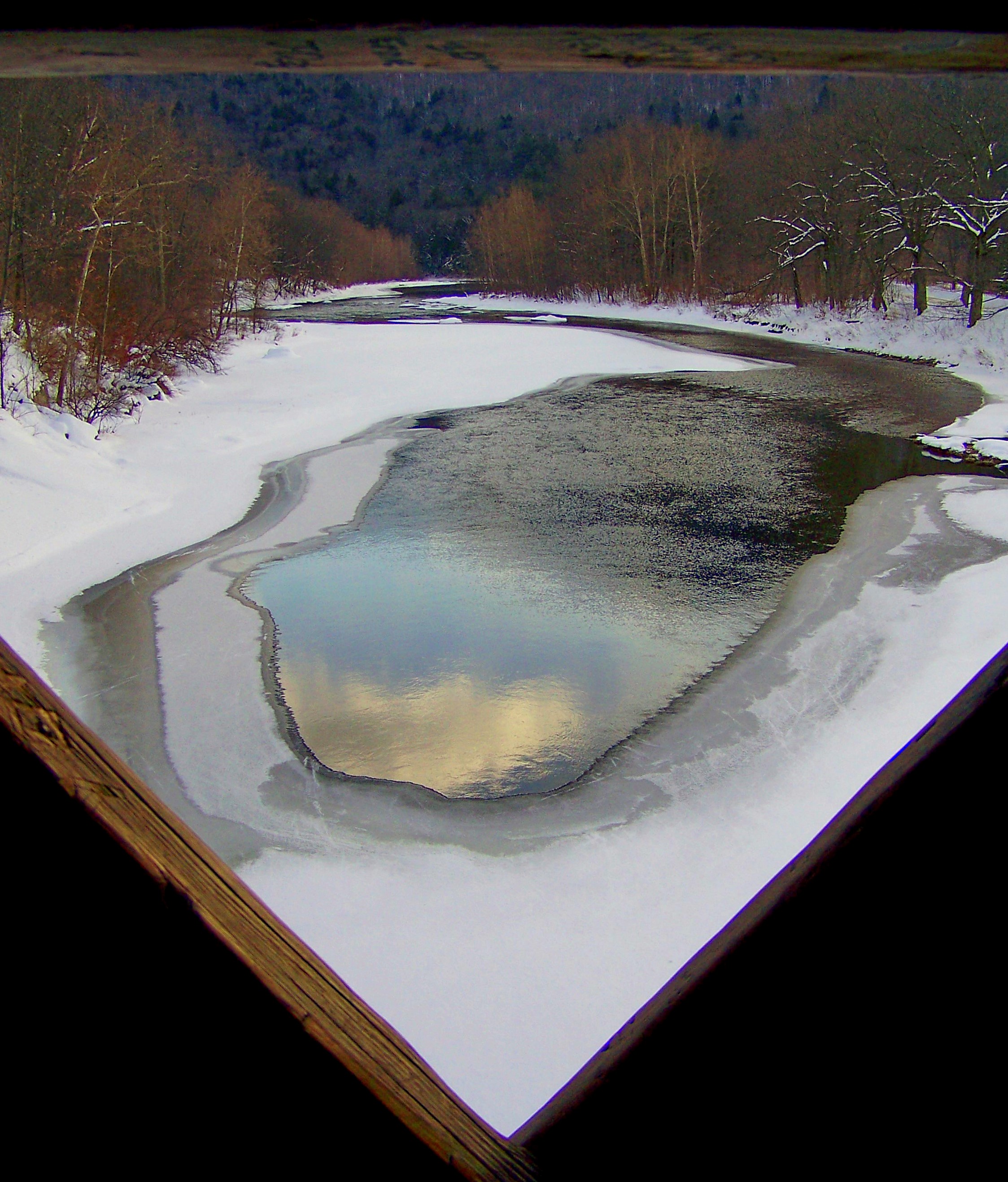
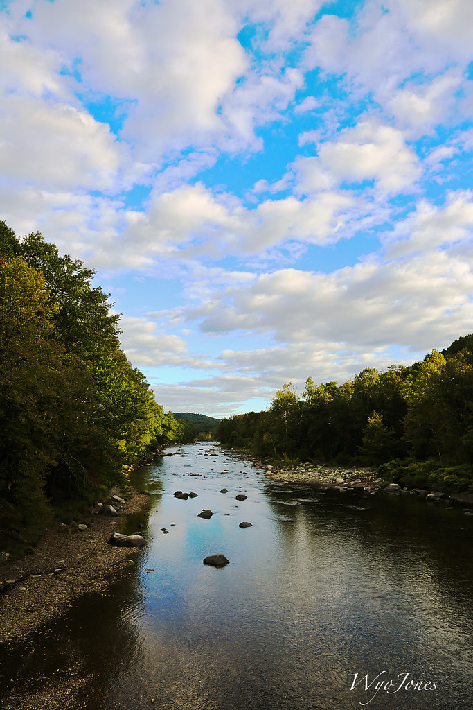
The West River
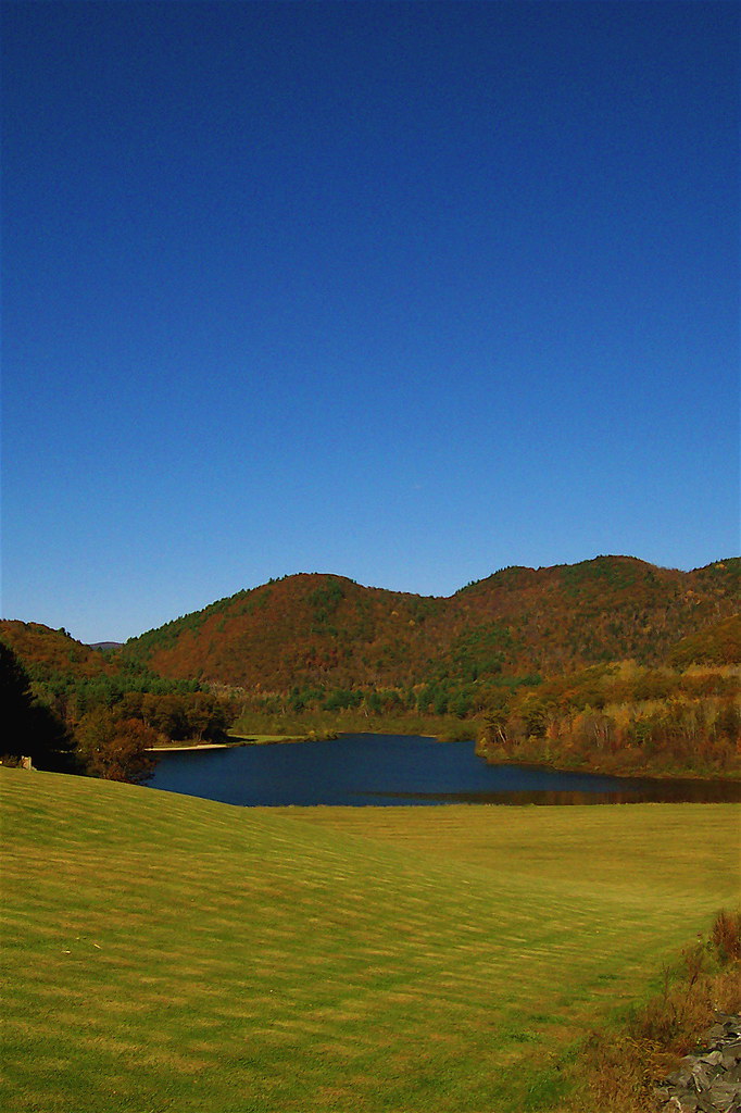
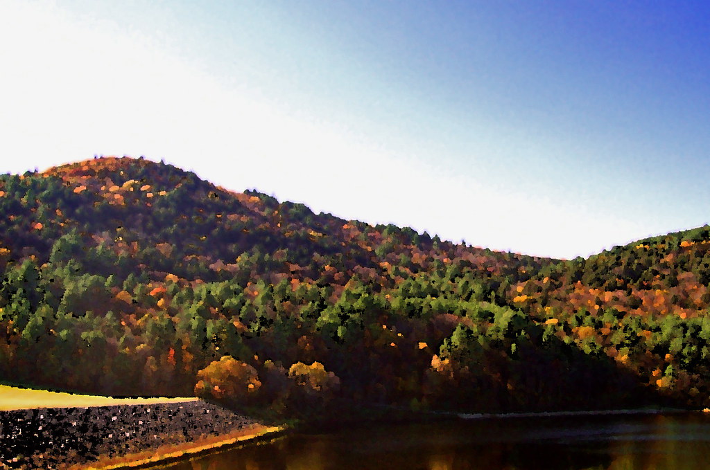
VTTownshendDam018.jpg

Stillness of morning. #getolympus with the Olympus e-m1. #reflection #vermont
Trees 4a

The Dumplings

The Perfect Fake! (Explored!)
2013-07-19 10.41.18
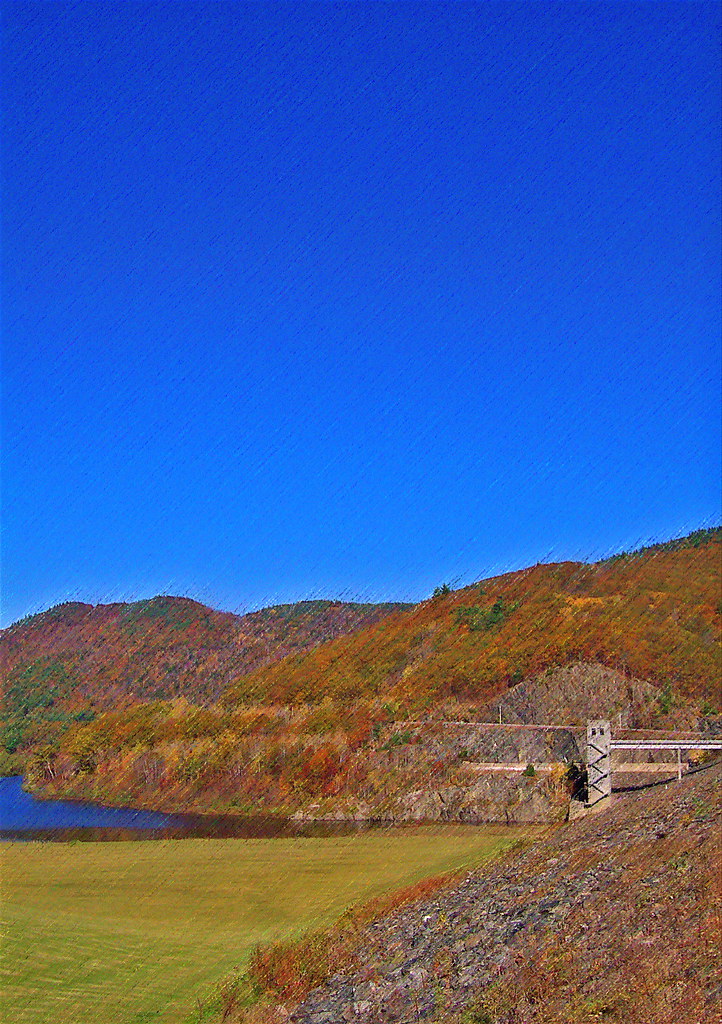
VTTownshendDam019.jpg
VTTownshendDam007.jpg
2013-07-19 10.41.48
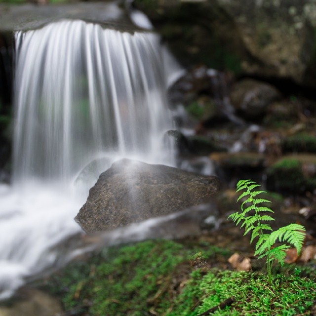
I love spring! #waterfall #waterflow #longexposure 6 seconds with the #sony #a6000 #vtshots
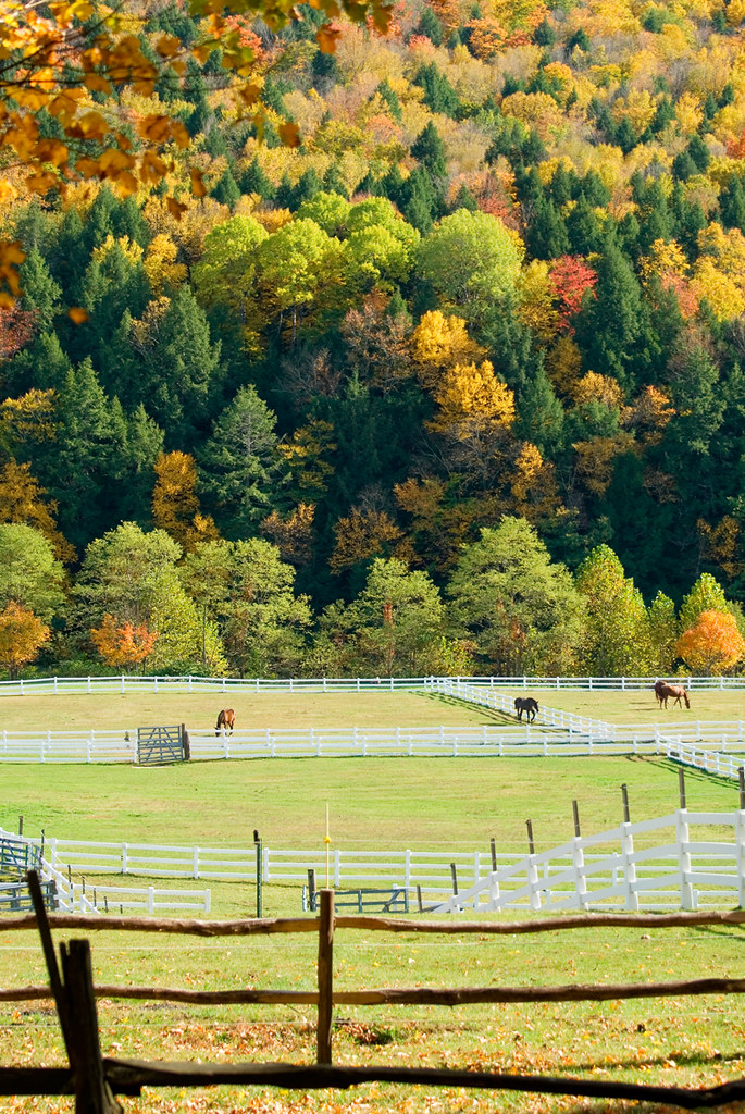
Stable Foliage
River and Clouds

2013-07-19 10.41.26

From the edge of the Harvest Festival
Congratulations!✨????✨ @surfsidecp Your amazing stone ridge capture was chosen as a feature from the beautiful state of Vermont.
2013-07-19 10.41.45
2013-07-19 09.31.48
2013-07-19 10.44.20
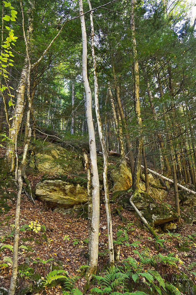
Trees and Metamorphic Rock
Topographic Map of Brookline, VT, USA
Find elevation by address:

Places in Brookline, VT, USA:
Places near Brookline, VT, USA:
6 Parker Rd, Brookline, VT, USA
962 Grassy Brook Rd
218 Dusty Ridge Rd
99 Derry Ln
1118 Peaked Mountain Rd
60 Parkman Wood Rd
East Dummerston, VT, USA
10 Joy Rd
2492 W Rd
418 Houghton Brook Rd
639 Vt-30
Townshend
39 Church St, Putney, VT, USA
Newfane
5 Church St, Newfane, VT, USA
11 Church St
Falls Brook Road
2498 Vt-30
30 Back St
26 Steep Way Rd
Recent Searches:
- Elevation of Corso Fratelli Cairoli, 35, Macerata MC, Italy
- Elevation of Tallevast Rd, Sarasota, FL, USA
- Elevation of 4th St E, Sonoma, CA, USA
- Elevation of Black Hollow Rd, Pennsdale, PA, USA
- Elevation of Oakland Ave, Williamsport, PA, USA
- Elevation of Pedrógão Grande, Portugal
- Elevation of Klee Dr, Martinsburg, WV, USA
- Elevation of Via Roma, Pieranica CR, Italy
- Elevation of Tavkvetili Mountain, Georgia
- Elevation of Hartfords Bluff Cir, Mt Pleasant, SC, USA