Elevation of 26 Steep Way Rd, Newfane, VT, USA
Location: United States > Vermont > Windham County > Newfane >
Longitude: -72.664978
Latitude: 42.980469
Elevation: 202m / 663feet
Barometric Pressure: 99KPa
Elevation Map:
Satellite Map:
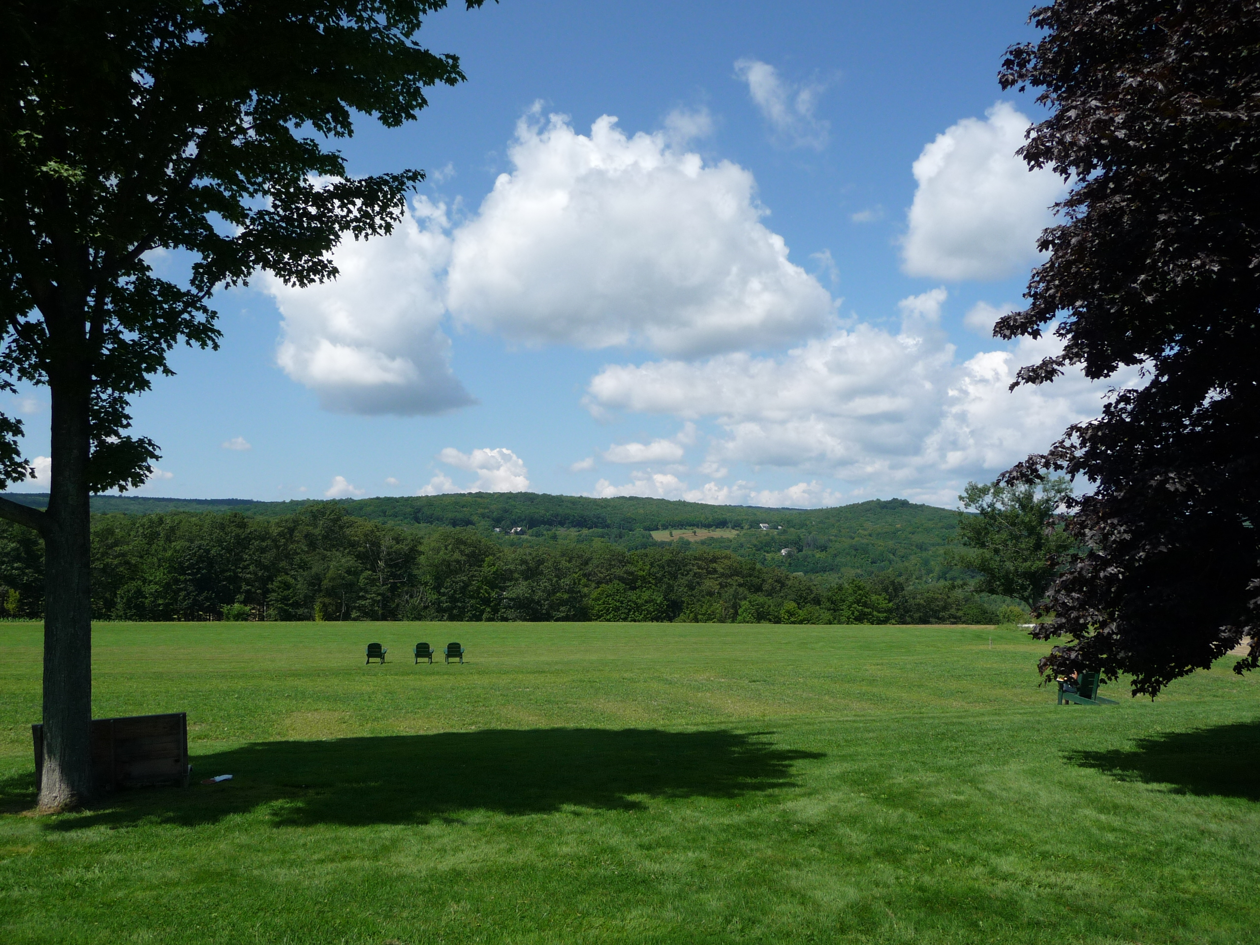
Related Photos:
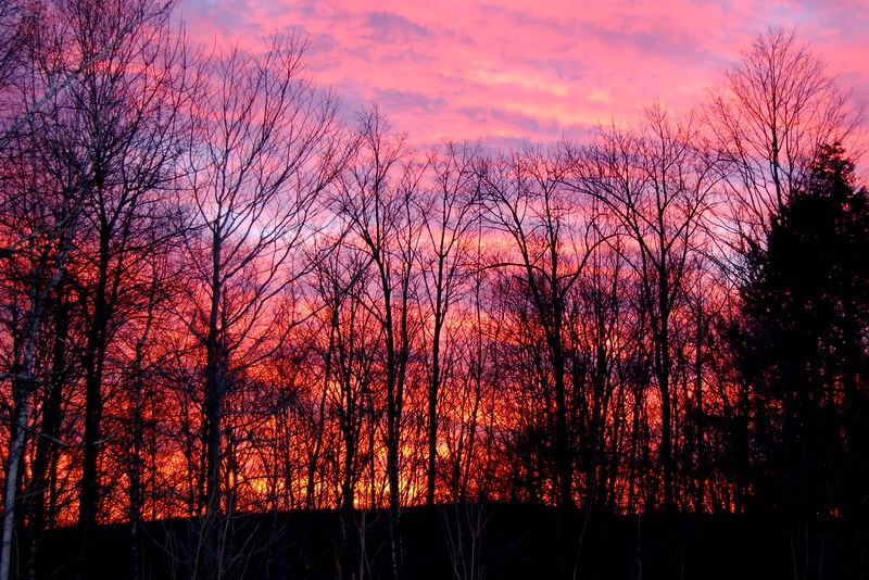
This Morning's 10 Minute Sunrise in Reverse (EXPLORED)

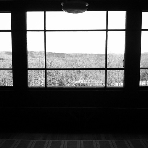
More views
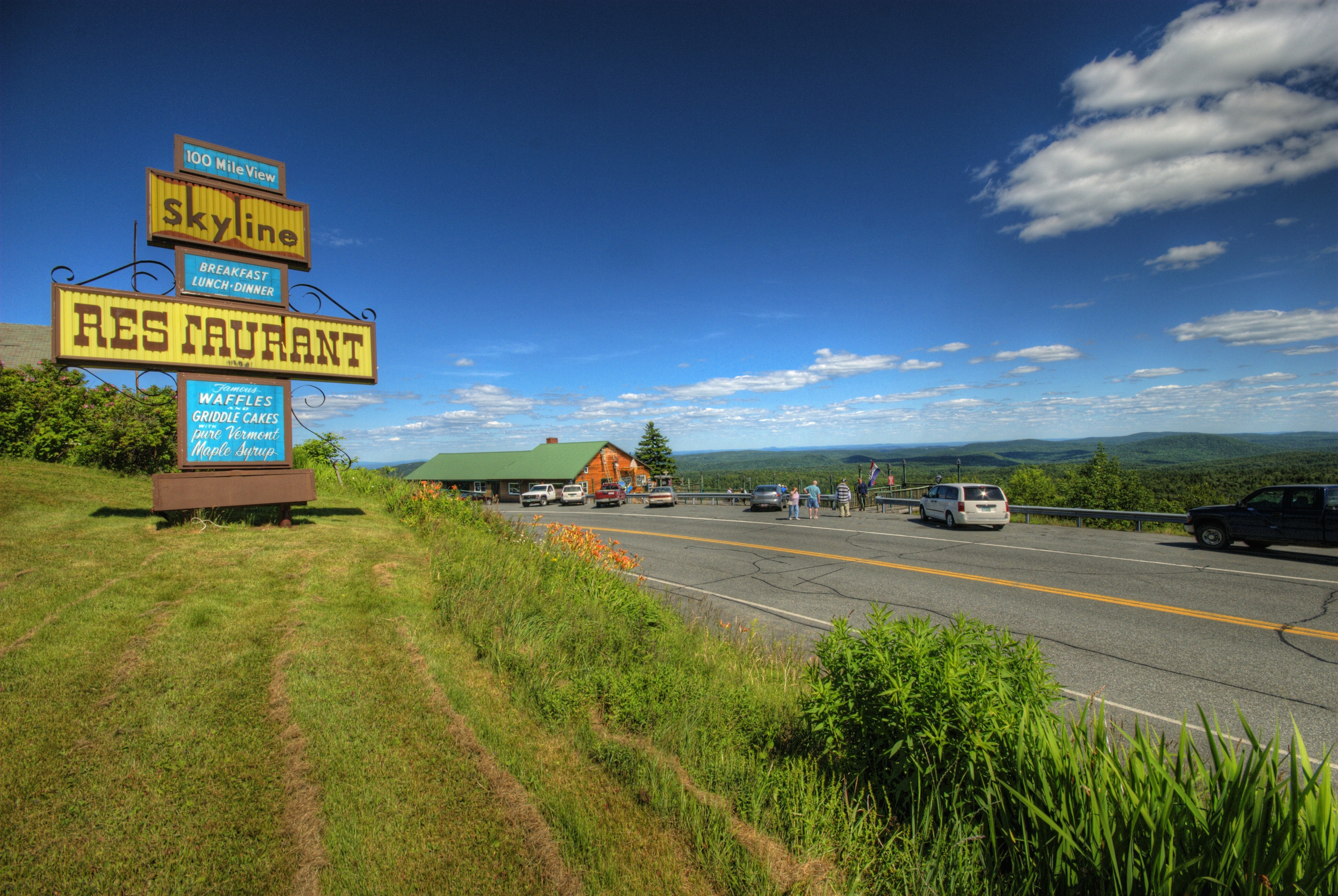
Skeline Restaurant and Hogback Mtn. Scenic Overlook
a bluebird view
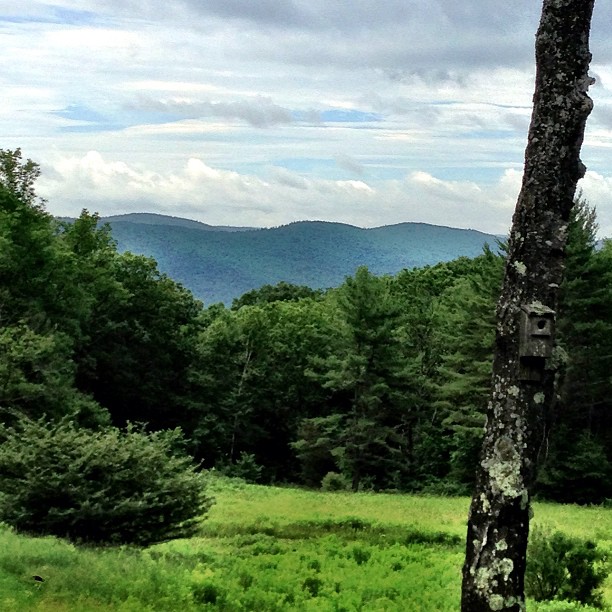
Marlboro: the view from here
Another view

Love love love that that I'm able to treat mom & dad for lunch on @foursquare / AmEx specials

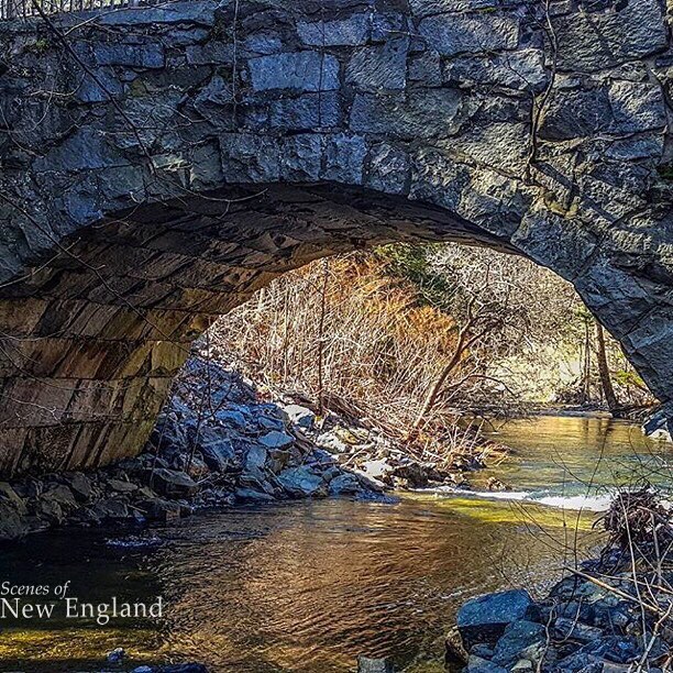
The Creamery Bridge
an opening in the lattice

MY Little Chickadee!

Brattleboro railroad bridge

Boiling Maple Syrup
Townshend Village Green
VTNewfaneCommon006.jpg
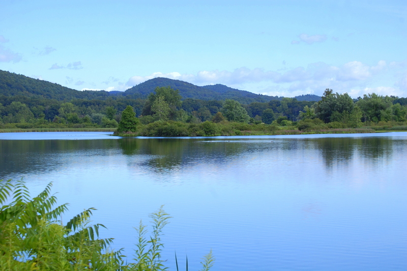
View from Frog Meadow, Vermont
View from the loggia at Rudyard Kipling's home "Naulahka" in Dummerston,Vt.
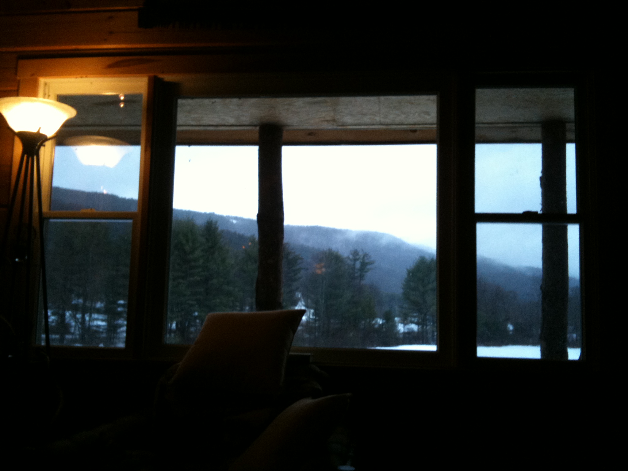
The view from the cabin window

At Last!!! A Green Heron!!
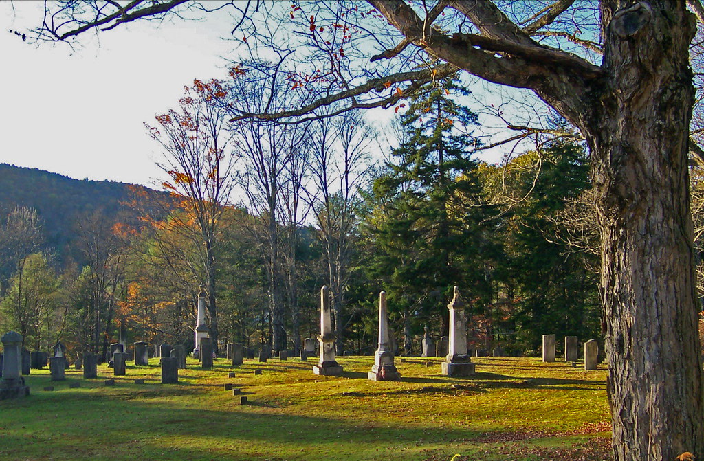
VTNewfaneCemetery002.jpg

How Sweet It Is!!!!

Pitch Pine Understory
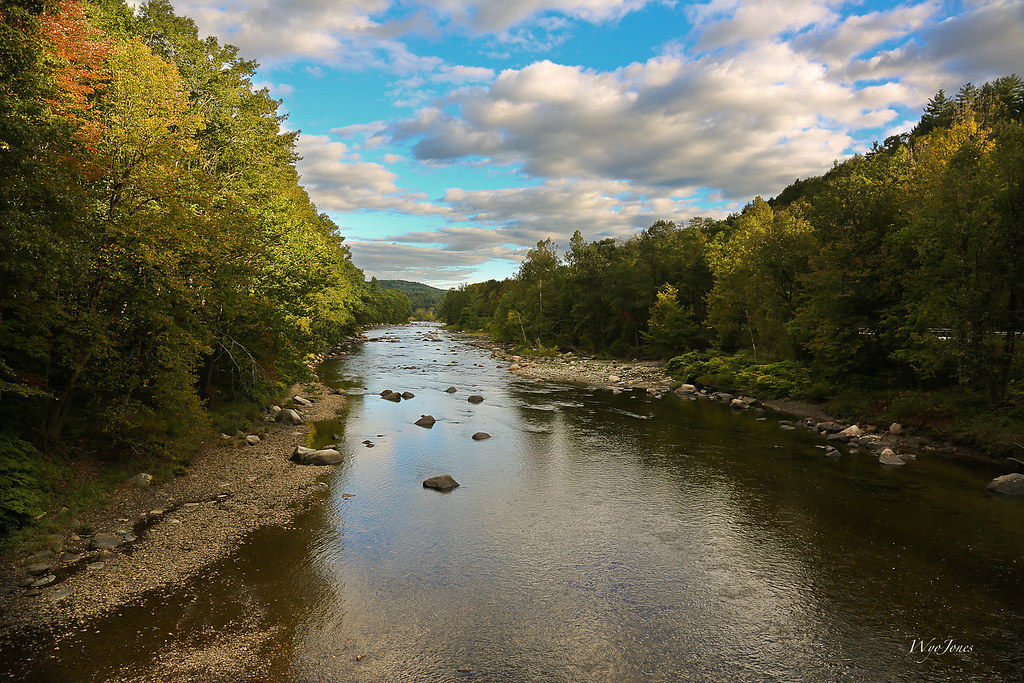
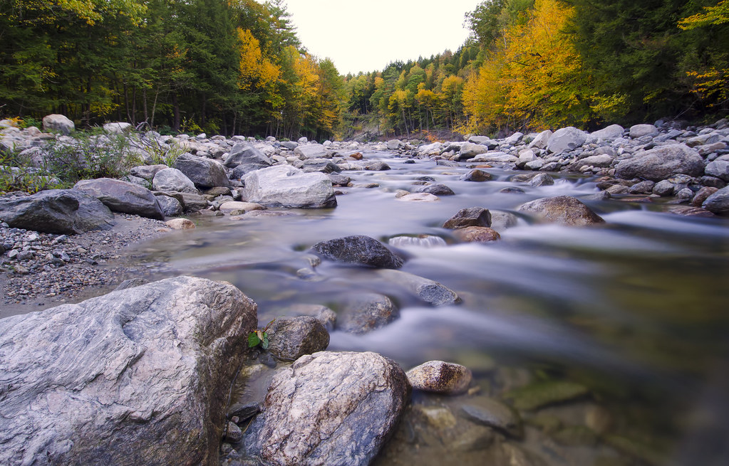
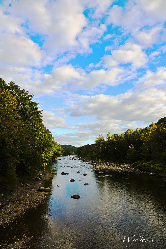
The West River
Marlboro Branch
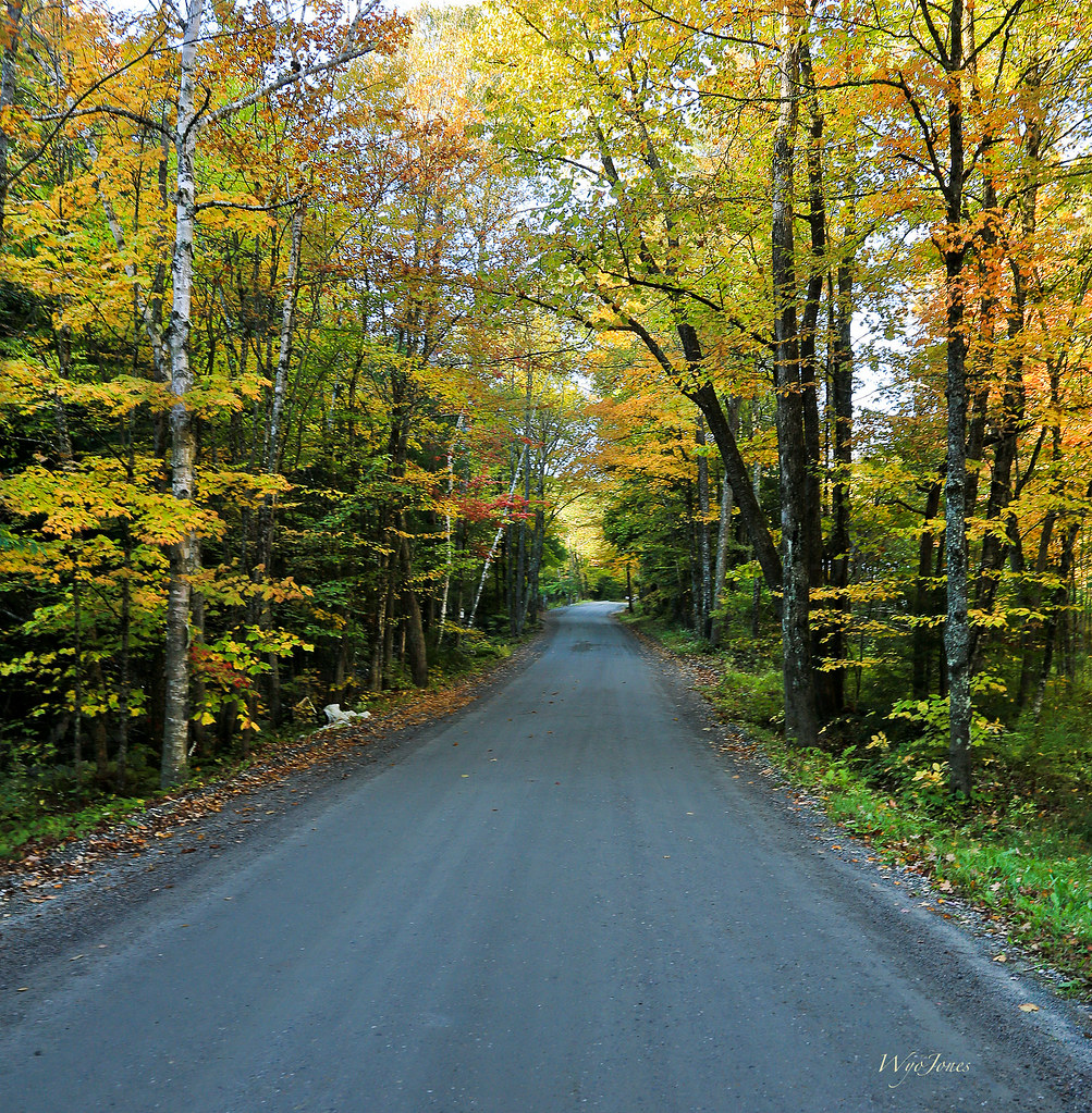
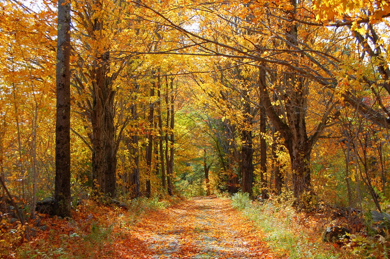
Autumn Lane
Where West Meets East
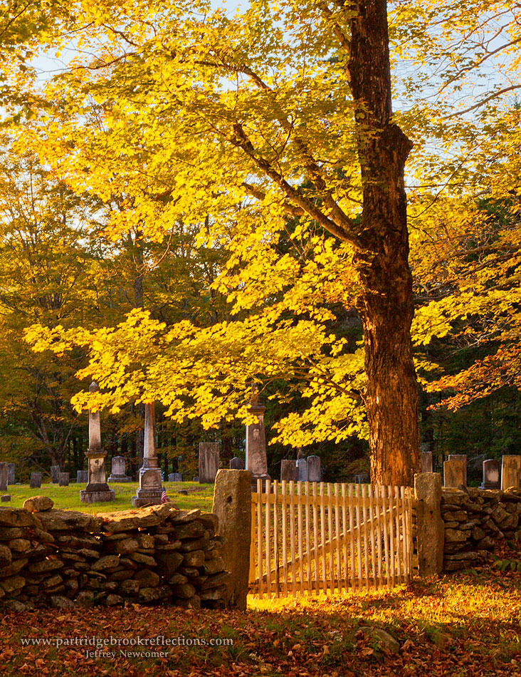
Cemetery Gate
Country Roads (Explored)
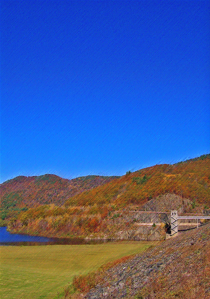
VTTownshendDam018.jpg

The Perfect Fake! (Explored!)

The West River at Brattleboro

Never give up; for even rivers someday wash dams away...
I never think of the future - it comes soon enough...

Jekyll Hyde Falls
VTTownshendDam019.jpg
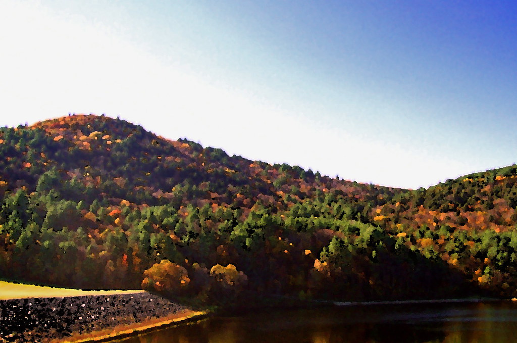
VTTownshendDam007.jpg
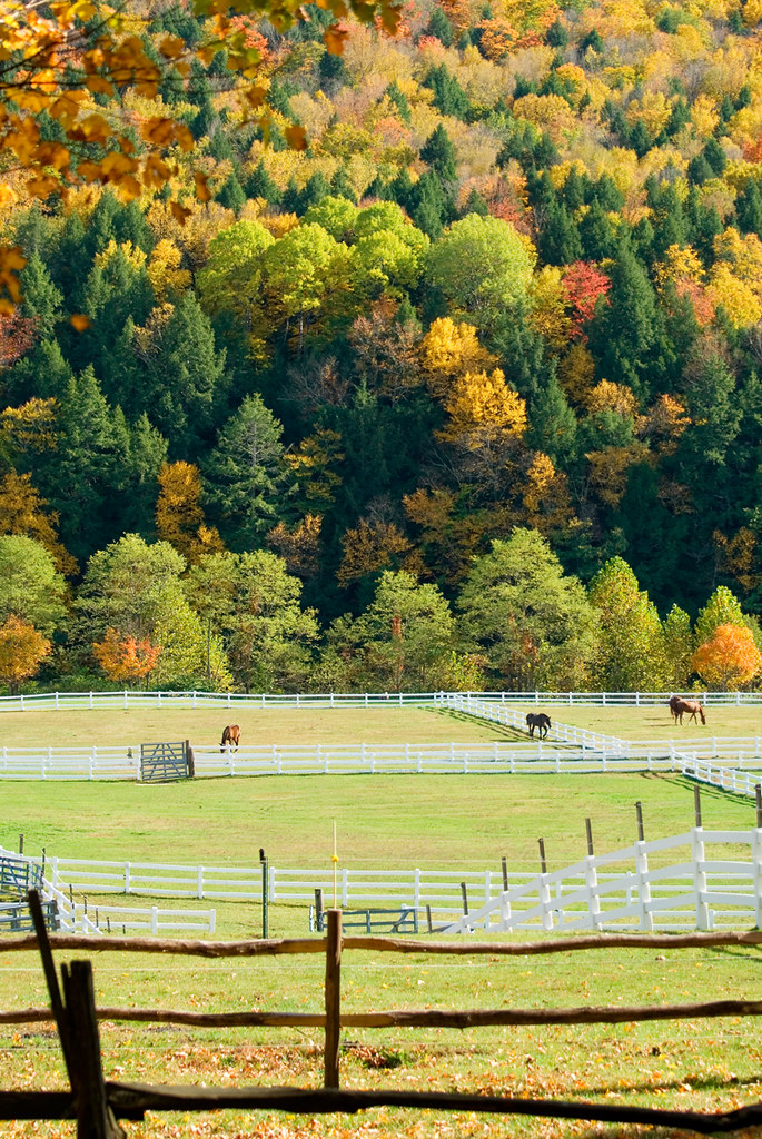
Stable Foliage
River and Clouds

Sweet Mother & Child Purple Finch Photos . . . Explored!

From the edge of the Harvest Festival
P1020079.JPG
Congratulations!✨????✨ @surfsidecp Your amazing stone ridge capture was chosen as a feature from the beautiful state of Vermont.
Topographic Map of 26 Steep Way Rd, Newfane, VT, USA
Find elevation by address:

Places near 26 Steep Way Rd, Newfane, VT, USA:
30 Back St
11 Church St
5 Church St, Newfane, VT, USA
Newfane
639 Vt-30
10 Hemlock Hill Rd
232 Steep Way Rd
165 Newfane Hill Rd
165 Newfane Hill Rd
135 Otis Ln
70 Grimes Hill Rd
58 Dover Rd
99 Derry Ln
95 Sir Isaac Newton Rd #65
South Newfane
Falls Brook Road
408 Dover Rd
Townshend
3328 N Pond Rd
2498 Vt-30
Recent Searches:
- Elevation of Corso Fratelli Cairoli, 35, Macerata MC, Italy
- Elevation of Tallevast Rd, Sarasota, FL, USA
- Elevation of 4th St E, Sonoma, CA, USA
- Elevation of Black Hollow Rd, Pennsdale, PA, USA
- Elevation of Oakland Ave, Williamsport, PA, USA
- Elevation of Pedrógão Grande, Portugal
- Elevation of Klee Dr, Martinsburg, WV, USA
- Elevation of Via Roma, Pieranica CR, Italy
- Elevation of Tavkvetili Mountain, Georgia
- Elevation of Hartfords Bluff Cir, Mt Pleasant, SC, USA