Elevation of Broadway Ave, Slayton, MN, USA
Location: United States > Minnesota > Murray County >
Longitude: -95.756082
Latitude: 43.9921688
Elevation: 488m / 1601feet
Barometric Pressure: 96KPa
Elevation Map:
Satellite Map:
Related Photos:

View from Beach House at Lake Shetek State Park
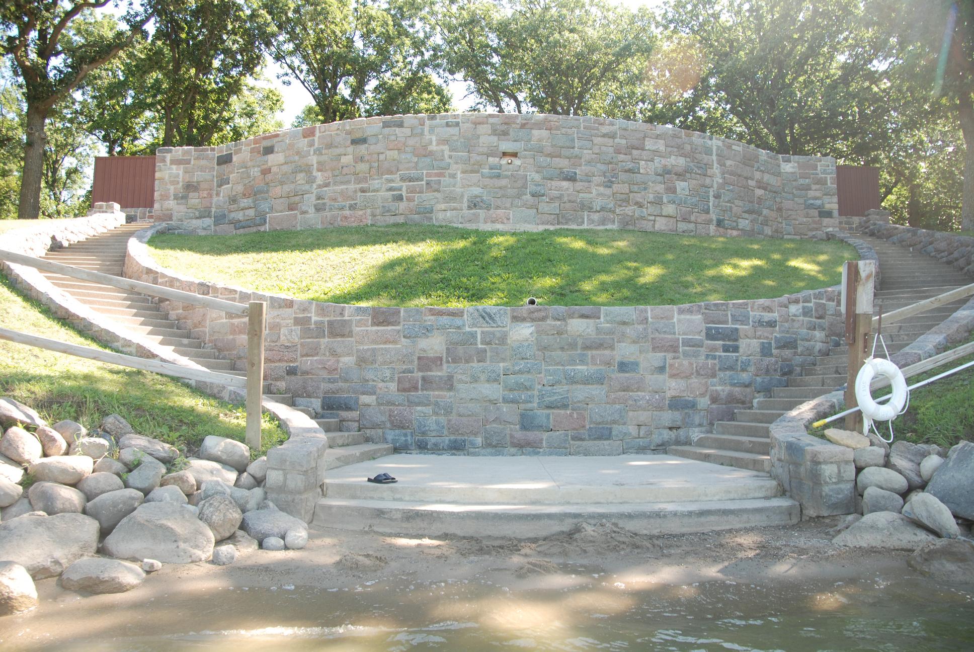
Beach House View from Water
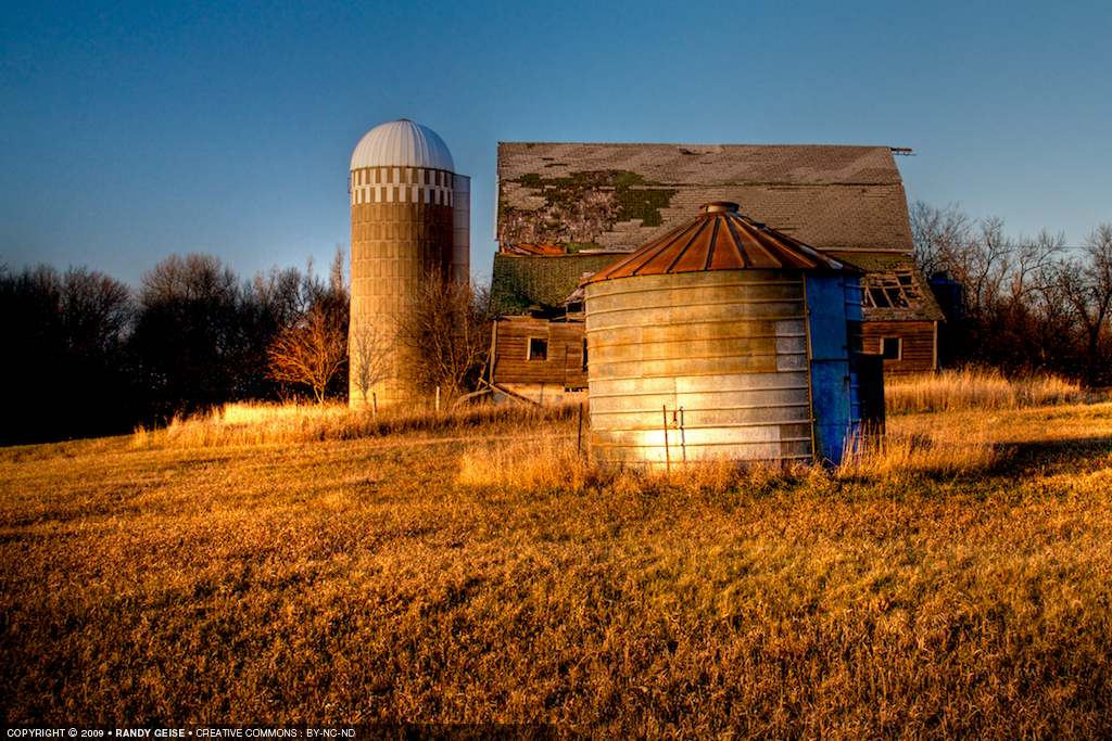
Glowing Abandonment

Corn, Corn, Corn

Stormy Autumn Evening - Lake Shetek State Park

Gloomy Highway Drive

Loon Island Hiking Trail - Lake Shetek State Park, Minnesota

20100515 024

Lake Shetek State Park

20100515 033

A Late Harvest

20100515 0332

20100515 028
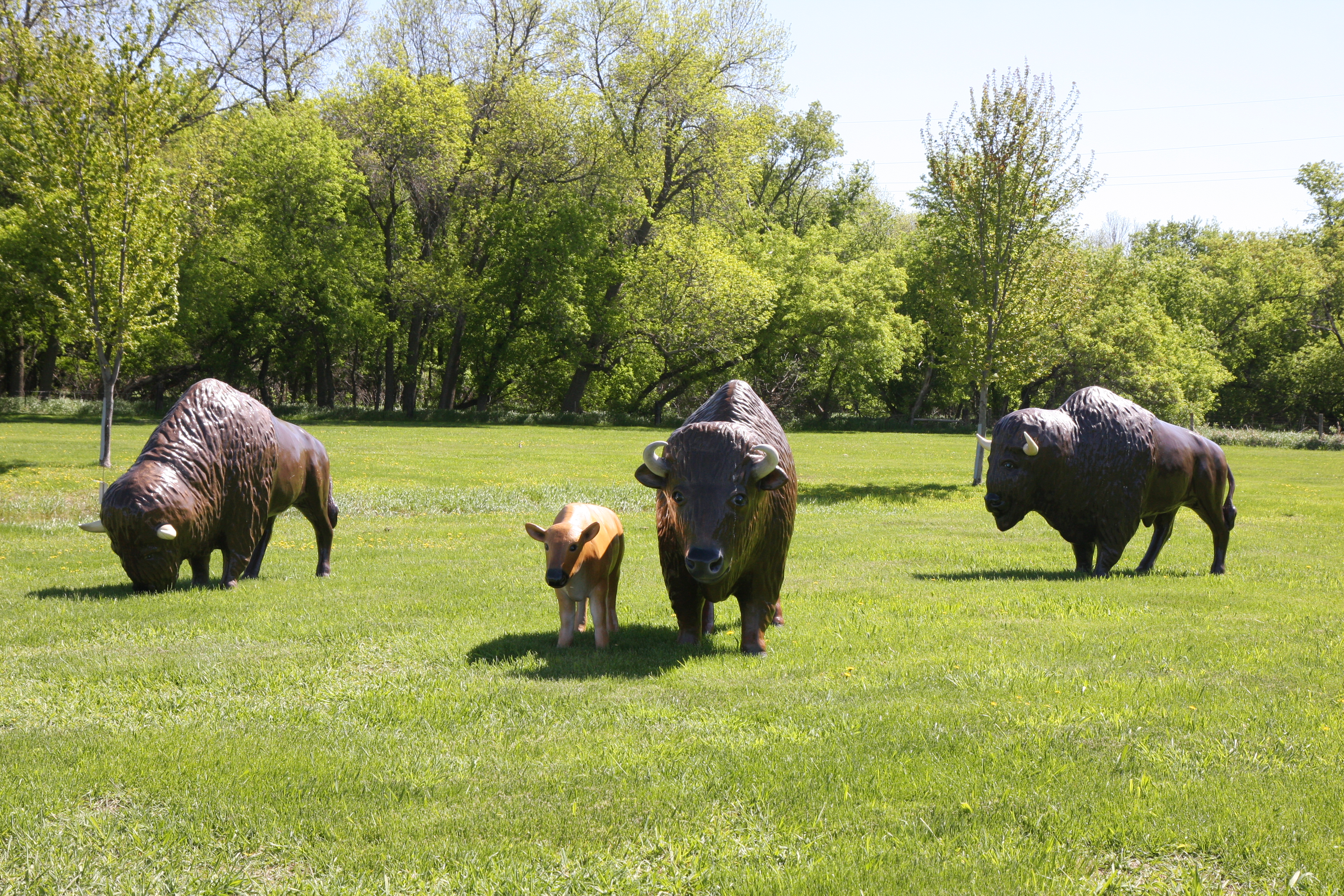
Buffalo and Calf at the End O Line Railroad Park and Museum
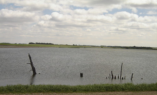
Lake Wilson
Topographic Map of Broadway Ave, Slayton, MN, USA
Find elevation by address:

Places near Broadway Ave, Slayton, MN, USA:
Murray County
Currie
Mill St, Currie, MN, USA
Garvin
4th St, Garvin, MN, USA
Custer Township
1409 Us-59
3rd St, Balaton, MN, USA
Balaton
Nobles County
Balaton, MN, USA
Rock Lake Township
1599 County Rd 9
Shelburne Township
Woodstock
st St, Balaton, MN, USA
Mn-23 & Co Hwy 16
Front St, Russell, MN, USA
Blaine St, Ruthton, MN, USA
Aetna St, Ruthton, MN, USA
Recent Searches:
- Elevation of Corso Fratelli Cairoli, 35, Macerata MC, Italy
- Elevation of Tallevast Rd, Sarasota, FL, USA
- Elevation of 4th St E, Sonoma, CA, USA
- Elevation of Black Hollow Rd, Pennsdale, PA, USA
- Elevation of Oakland Ave, Williamsport, PA, USA
- Elevation of Pedrógão Grande, Portugal
- Elevation of Klee Dr, Martinsburg, WV, USA
- Elevation of Via Roma, Pieranica CR, Italy
- Elevation of Tavkvetili Mountain, Georgia
- Elevation of Hartfords Bluff Cir, Mt Pleasant, SC, USA