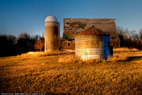
Elevation of Custer Township, MN, USA
Location: United States > Minnesota > Lyon County >
Longitude: -95.793200
Latitude: 44.2337467
Elevation: 469m / 1539feet
Barometric Pressure: 96KPa
Related Photos:
Topographic Map of Custer Township, MN, USA
Find elevation by address:

Places in Custer Township, MN, USA:
Places near Custer Township, MN, USA:
Garvin
4th St, Garvin, MN, USA
1409 Us-59
Balaton
3rd St, Balaton, MN, USA
1599 County Rd 9
Rock Lake Township
Balaton, MN, USA
Front St, Russell, MN, USA
E Railroad St, Lynd, MN, USA
Lynd, MN, USA
Lyon County
st St, Balaton, MN, USA
Airport Road
Mill St, Currie, MN, USA
Currie
700 Legion Field Rd
Murray County
Shelburne Township
Mn-23 & Co Hwy 16
Recent Searches:
- Elevation of Corso Fratelli Cairoli, 35, Macerata MC, Italy
- Elevation of Tallevast Rd, Sarasota, FL, USA
- Elevation of 4th St E, Sonoma, CA, USA
- Elevation of Black Hollow Rd, Pennsdale, PA, USA
- Elevation of Oakland Ave, Williamsport, PA, USA
- Elevation of Pedrógão Grande, Portugal
- Elevation of Klee Dr, Martinsburg, WV, USA
- Elevation of Via Roma, Pieranica CR, Italy
- Elevation of Tavkvetili Mountain, Georgia
- Elevation of Hartfords Bluff Cir, Mt Pleasant, SC, USA


