Elevation of Briggs Rd, Crawfordsville, AR, USA
Location: United States > Arkansas > Crittenden County > Jackson Township > Crawfordsville >
Longitude: -90.383484
Latitude: 35.254348
Elevation: 67m / 220feet
Barometric Pressure: 101KPa
Elevation Map:
Satellite Map:
Related Photos:
Daddy Long Legs
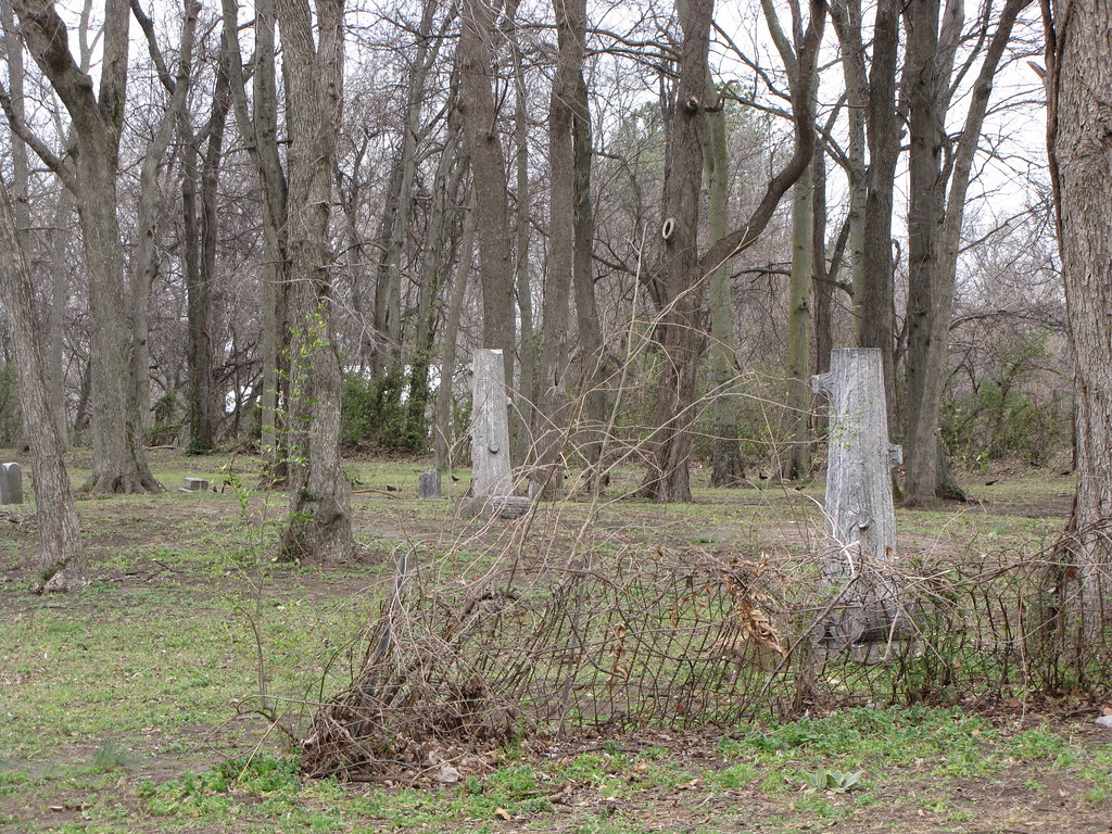
IMG_0440 (2)
IMG_0446 (2)
IMG_0443 (2)
IMG_0453 (2)

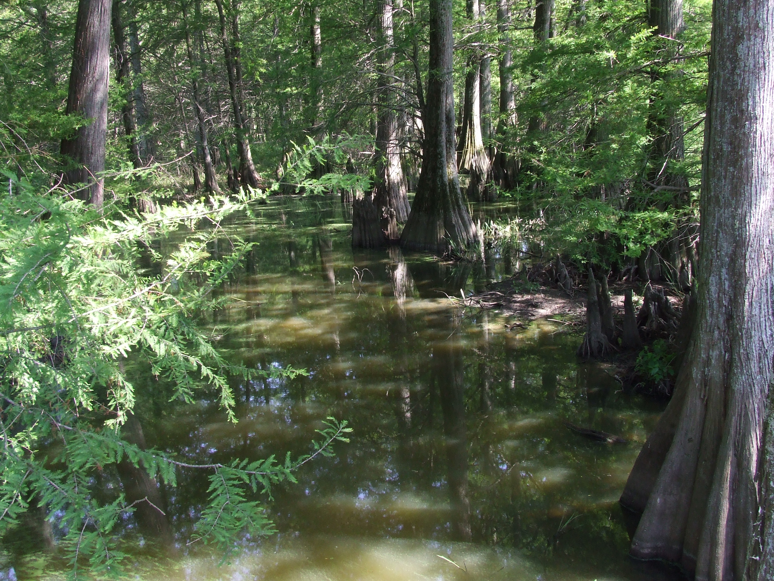
Cypress trees near sunset

Marion - Single Tree in Soyabean Field

The Road to Jericho

Clarksville, AR; October 2011

Marion - Watertower
IMG_0452 (2)
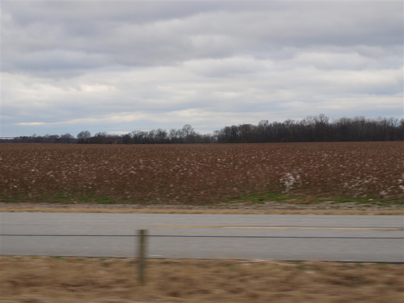
Cotton field 2.JPG
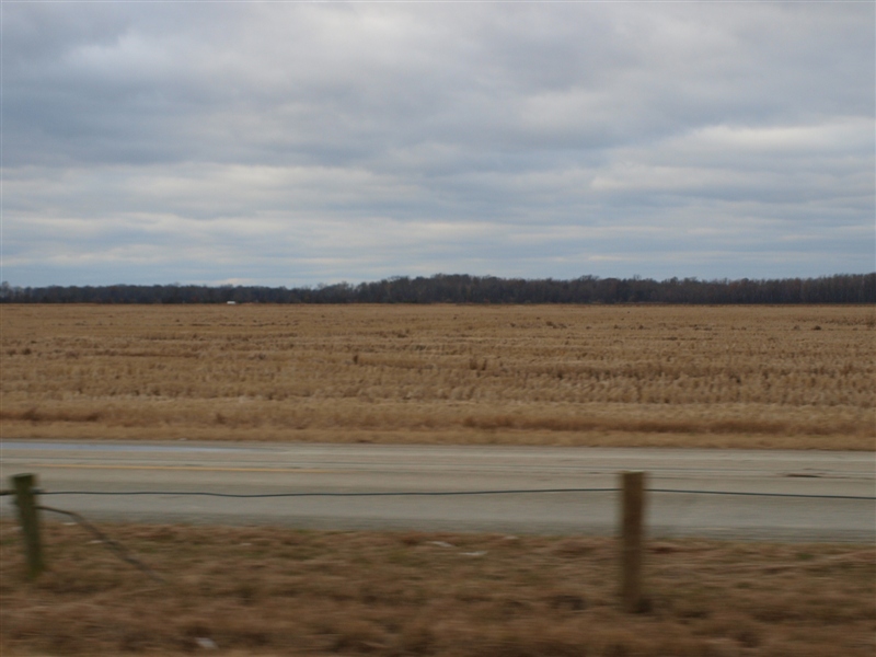
Driving back to Illinois through Arkansas
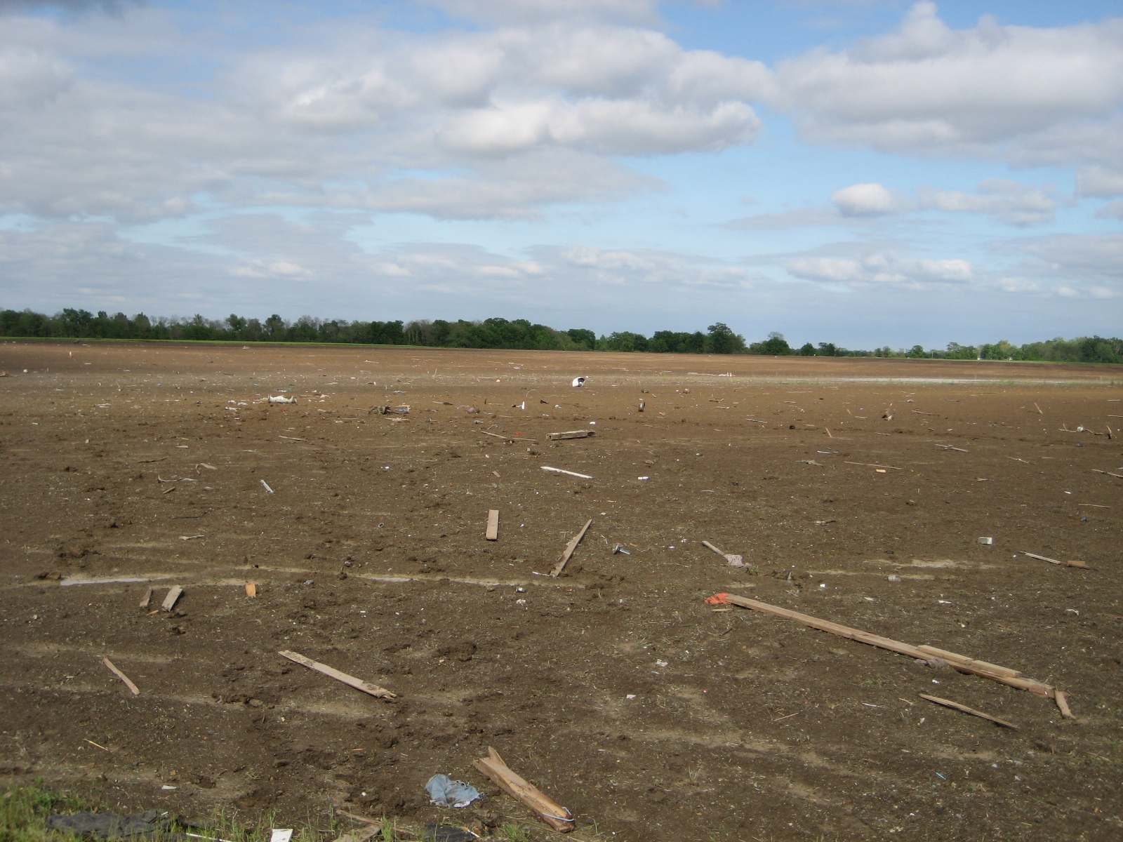
debris in field northeast of Earle
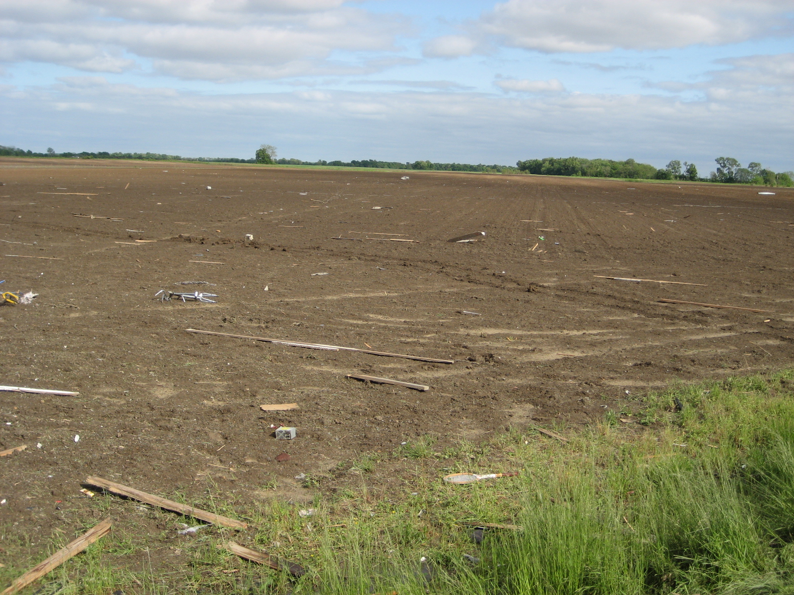
debris in field northeast of Earle
IMG_0447 (2)

Foggy Delta morning
Cotton field 3.JPG
IMG_0451 (2)

20080502-IMG_3893
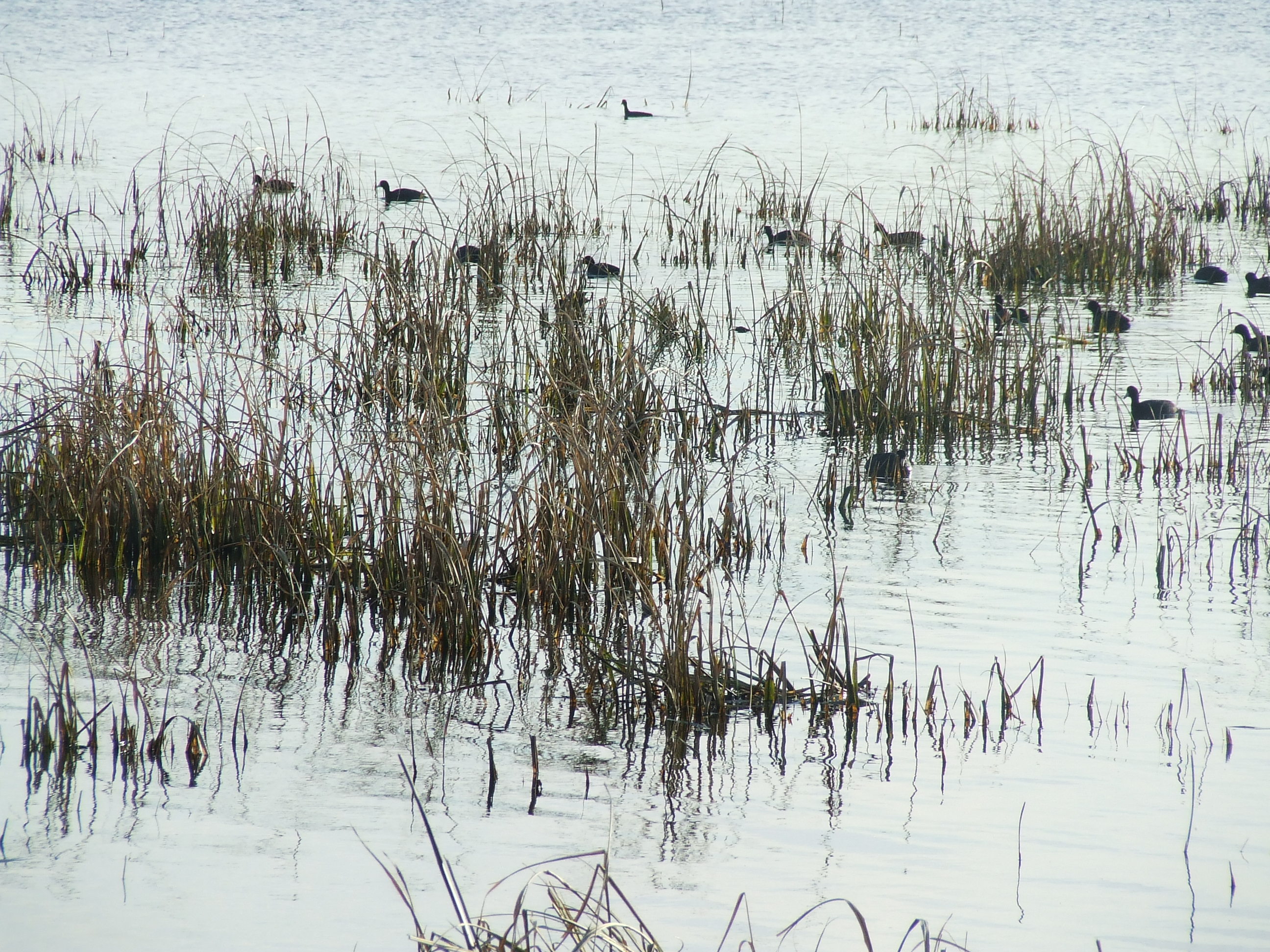
Waterfowl 2012
Rice or wheat.JPG
Waterway 2007
Topographic Map of Briggs Rd, Crawfordsville, AR, USA
Find elevation by address:

Places near Briggs Rd, Crawfordsville, AR, USA:
Crittenden County
Crawfordsville
Haden Ave, Crawfordsville, AR, USA
AR-, Earle, AR, USA
Earle
Tyronza Township
Jackson Township
Bay Ferry Rd, Earle, AR, USA
AR-, Crawfordsville, AR, USA
AR-, Tyronza, AR, USA
Black Oak Township
30 Dixie Rd, Earle, AR, USA
8914 Ar-149
Jasper Township
AR-42, Turrell, AR, USA
Parkin
Angels Way Rd, Marion, AR, USA
Turrell
Eureka St, Turrell, AR, USA
Tyronza Township
Recent Searches:
- Elevation of Corso Fratelli Cairoli, 35, Macerata MC, Italy
- Elevation of Tallevast Rd, Sarasota, FL, USA
- Elevation of 4th St E, Sonoma, CA, USA
- Elevation of Black Hollow Rd, Pennsdale, PA, USA
- Elevation of Oakland Ave, Williamsport, PA, USA
- Elevation of Pedrógão Grande, Portugal
- Elevation of Klee Dr, Martinsburg, WV, USA
- Elevation of Via Roma, Pieranica CR, Italy
- Elevation of Tavkvetili Mountain, Georgia
- Elevation of Hartfords Bluff Cir, Mt Pleasant, SC, USA