Elevation of Bransles, France
| Latitude | 48.152225 |
|---|---|
| Longitude | 2.834815 |
| Elevation | 110m / 361feet |
| Barometric Pressure | 1000KPa |
Related Photos:

Tournesol

L'etang, son chalet, son cycliste

Dordives - Etangs du Renard

Sur la route de l'été ~ On the road of Summer
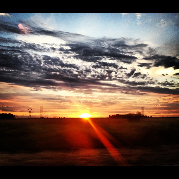
#sun #sunset #coucherdesoleil #coucher #soleil #sky #landscape #paysage #paris #parisbyiphone #iphone #iphone4s #rzpix

A perte de vue
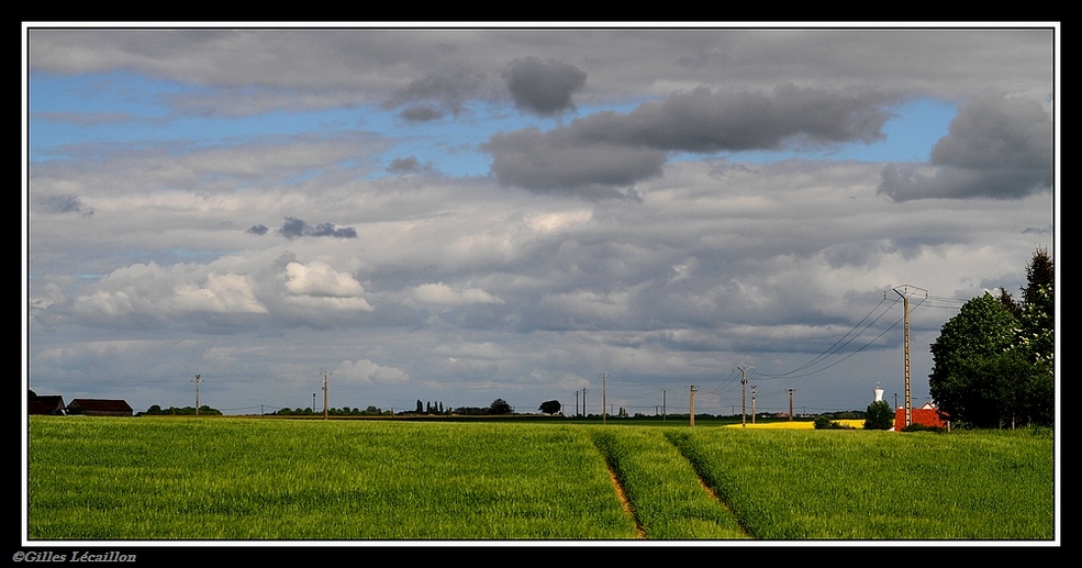
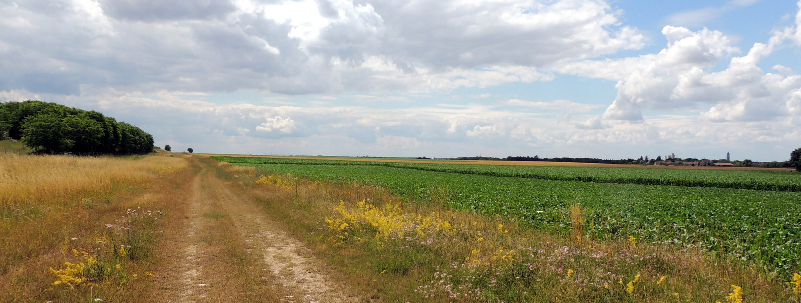
La Beauce

Souppes sur Loing
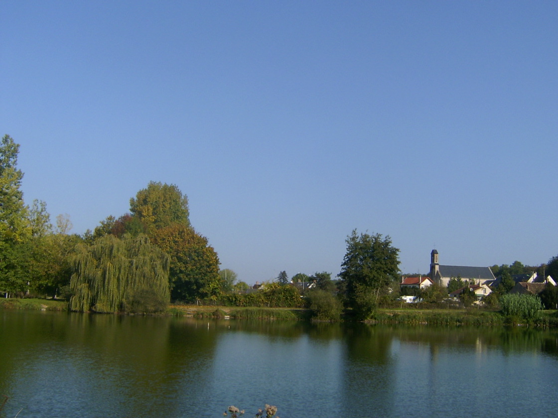
Eglise vue du lac

gâtinais
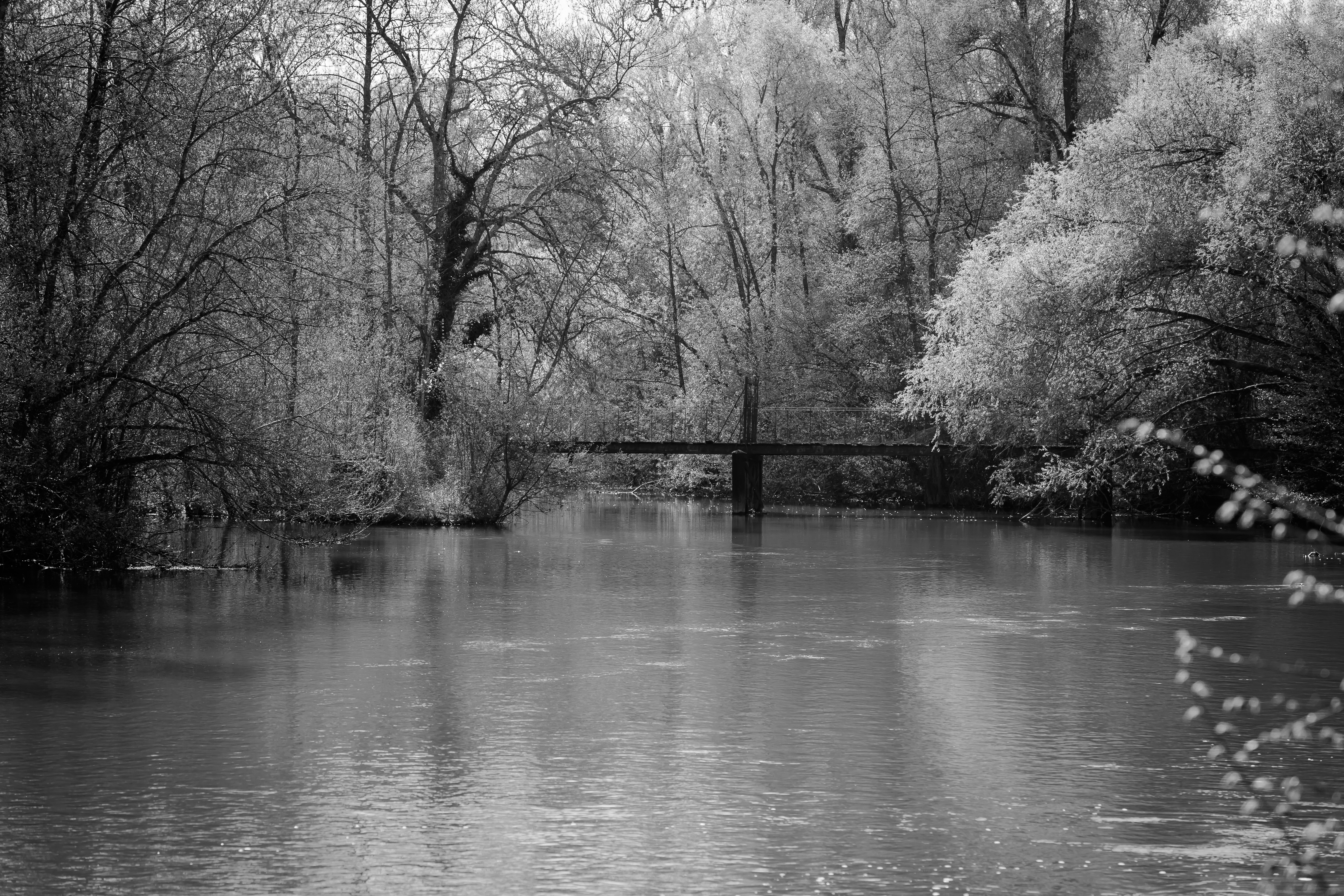
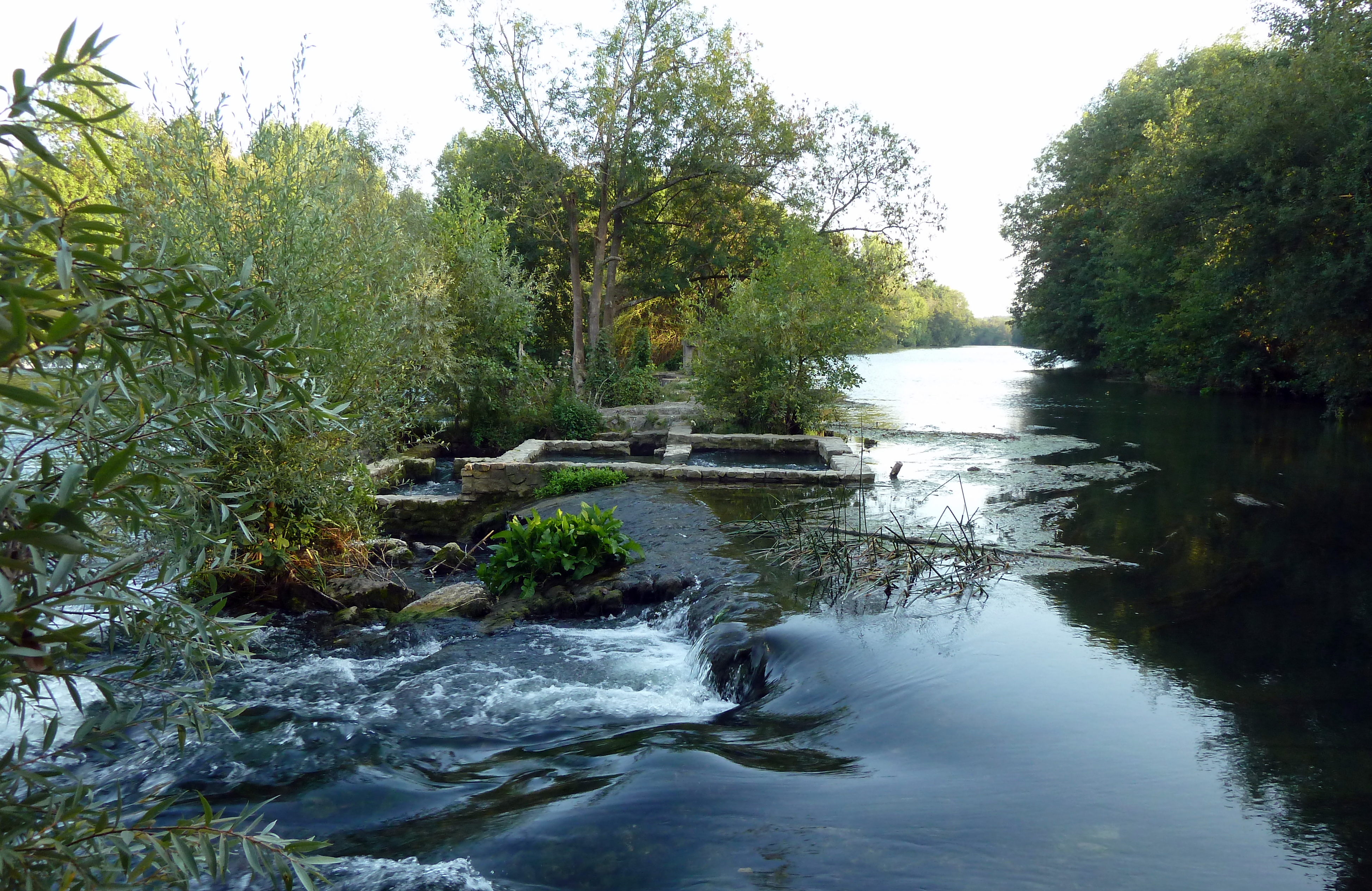
Pont passerelle sur le Loing - Nargis

Forêt de Nemours-003
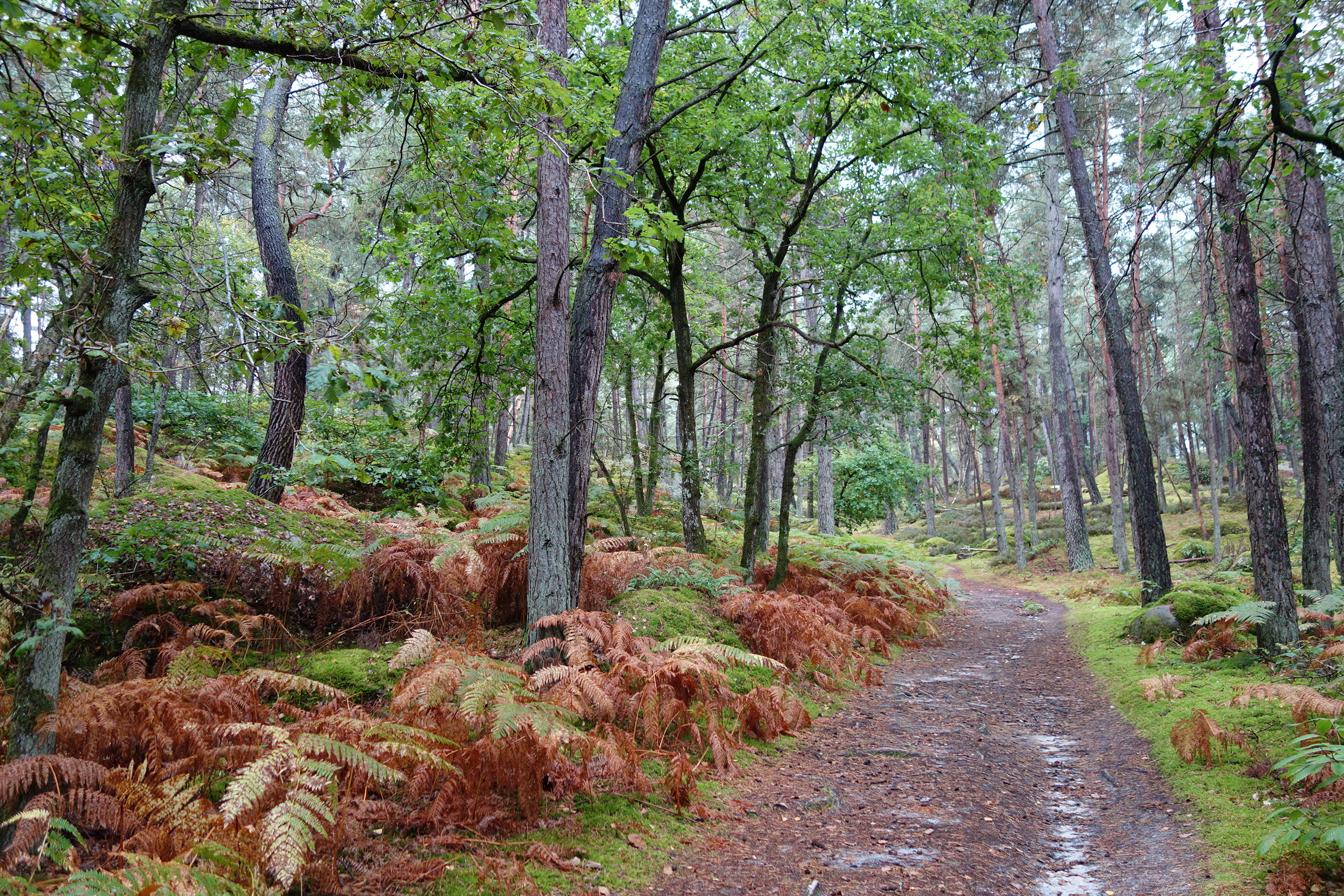
Forêt de Nemours spt 14-014

160820113264.jpg
nothing, filled with nothing
16-Chemin de César direction Château-Landon-007
_DSC0623-Modifier-Modifier-Modifier.jpg
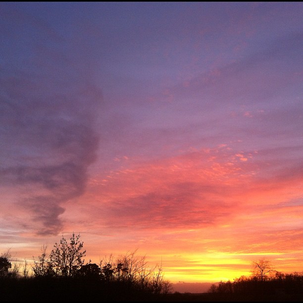
#sky #sunset #france #sun #cloud #iphonography #iphone #nofilters

Colza sous orage
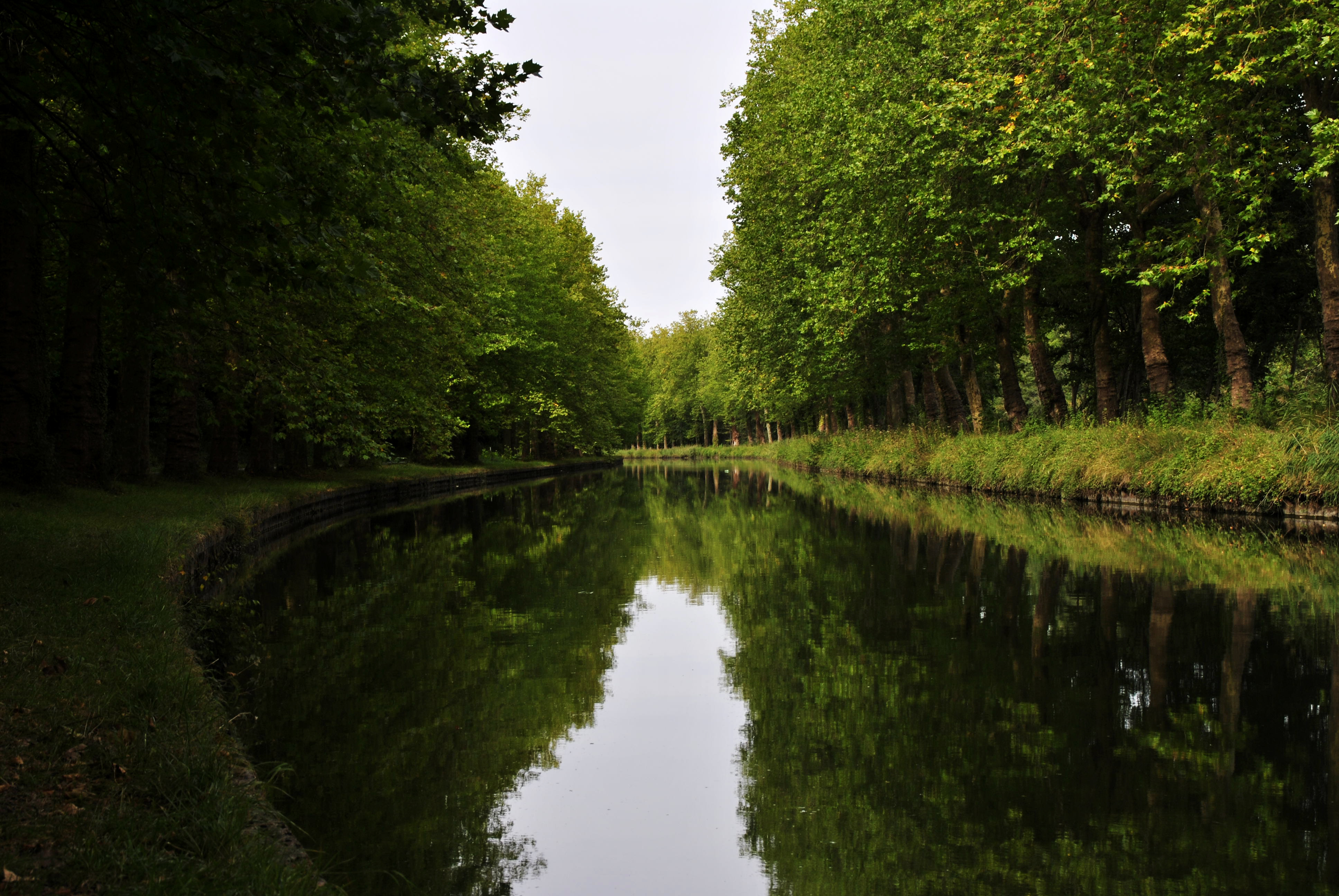
Un canal paisible ...
15-Chemin de César direction Château-Landon-001
Canal du Loing direction Bagneaux-010
Topographic Map of Bransles, France
Find elevation by address:
Places in Bransles, France:
Places near Bransles, France:
20 Rue de César, Bransles, France
18 Route du Moulin Neuf, Chevannes, France
Chevannes
Pers-en-gâtinais
15 Rue des Chemières, Pers-en-Gâtinais, France
Villemaréchal
9 Rue Grande, Villemaréchal, France
97 Rue de la Mairie, La Chapelle-Saint-Sépulcre, France
La Chapelle-saint-sépulcre
Montacher-villegardin
1 La Grande Borne, Montacher-Villegardin, France
22 Avenue Principale, Saint-Germain-des-Prés, France
Saint-germain-des-prés
3 Rue des Moines, Blennes, France
Blennes
17 Le Carron Biston, Triguères, France
Route de Montargis, Château-Renard, France
Château-renard
Courtenay
Triguères
Recent Searches:
- Elevation of 104, Chancery Road, Middletown Township, Bucks County, Pennsylvania, 19047, USA
- Elevation of 1212, Cypress Lane, Dayton, Liberty County, Texas, 77535, USA
- Elevation map of Central Hungary, Hungary
- Elevation map of Pest, Central Hungary, Hungary
- Elevation of Pilisszentkereszt, Pest, Central Hungary, Hungary
- Elevation of Dharamkot Tahsil, Punjab, India
- Elevation of Bhinder Khurd, Dharamkot Tahsil, Punjab, India
- Elevation of 2881, Chabot Drive, San Bruno, San Mateo County, California, 94066, USA
- Elevation of 10370, West 107th Circle, Westminster, Jefferson County, Colorado, 80021, USA
- Elevation of 611, Roman Road, Old Ford, Bow, London, England, E3 2RW, United Kingdom
- Elevation of 116, Beartown Road, Underhill, Chittenden County, Vermont, 05489, USA
- Elevation of Window Rock, Colfax County, New Mexico, 87714, USA
- Elevation of 4807, Rosecroft Street, Kempsville Gardens, Virginia Beach, Virginia, 23464, USA
- Elevation map of Matawinie, Quebec, Canada
- Elevation of Sainte-Émélie-de-l'Énergie, Matawinie, Quebec, Canada
- Elevation of Rue du Pont, Sainte-Émélie-de-l'Énergie, Matawinie, Quebec, J0K2K0, Canada
- Elevation of 8, Rue de Bécancour, Blainville, Thérèse-De Blainville, Quebec, J7B1N2, Canada
- Elevation of Wilmot Court North, 163, University Avenue West, Northdale, Waterloo, Region of Waterloo, Ontario, N2L6B6, Canada
- Elevation map of Panamá Province, Panama
- Elevation of Balboa, Panamá Province, Panama