Elevation of Bradley, IL, USA
Location: United States > Illinois > Kankakee County > Bourbonnais Township >
Longitude: -87.8611535
Latitude: 41.1419768
Elevation: 192m / 630feet
Barometric Pressure: 0KPa
Related Photos:

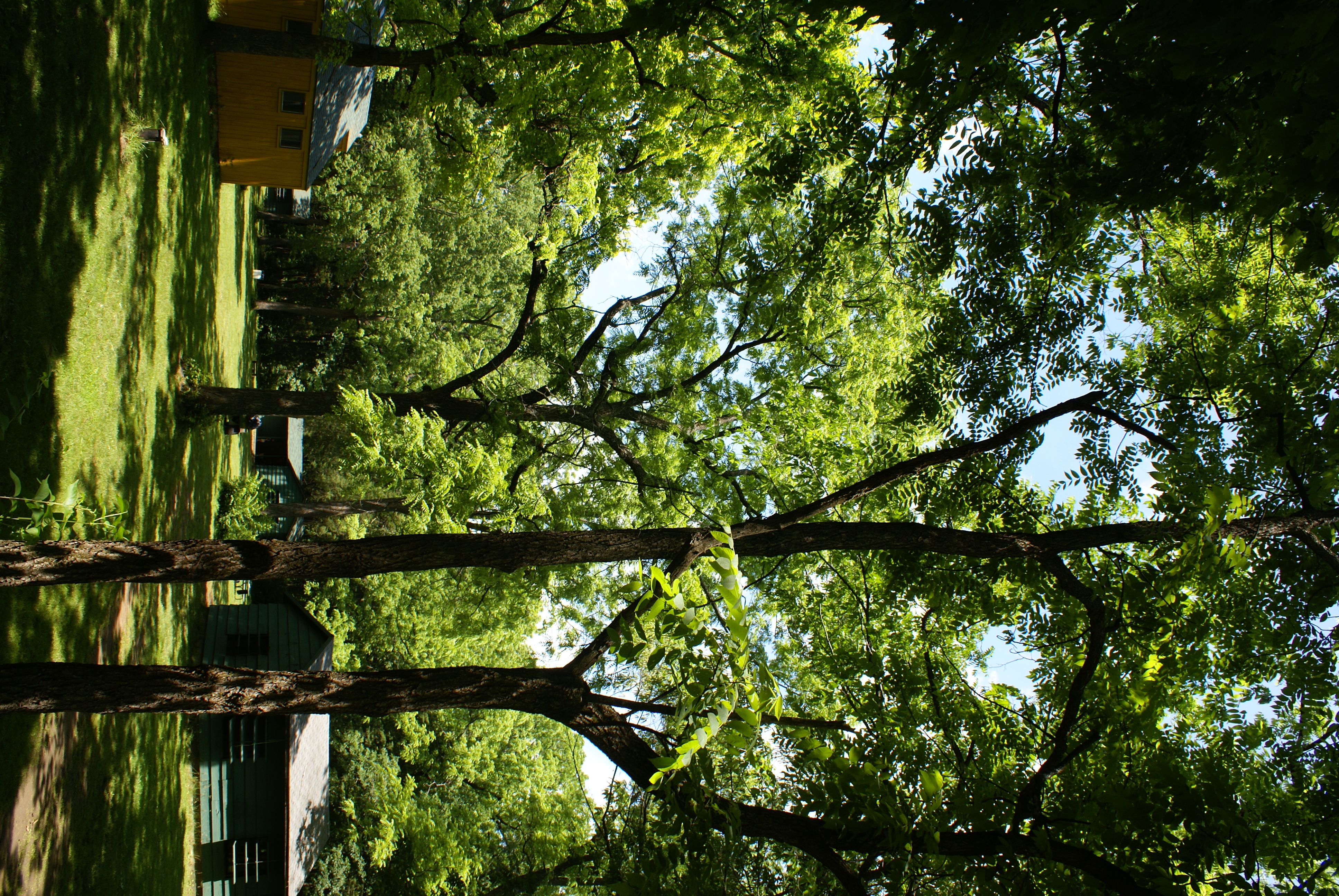
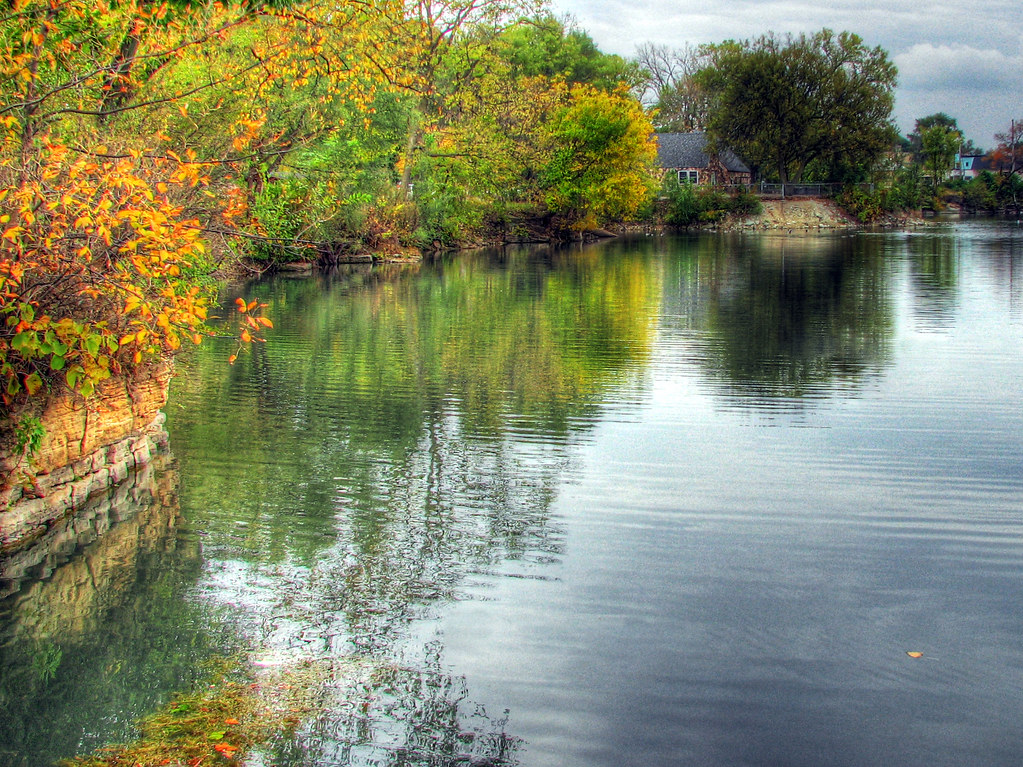
Kankakee Bonsai

heading out with Tim for some sunset photos #prairie #illinois

Smith Cemetery
DSC04132.JPG
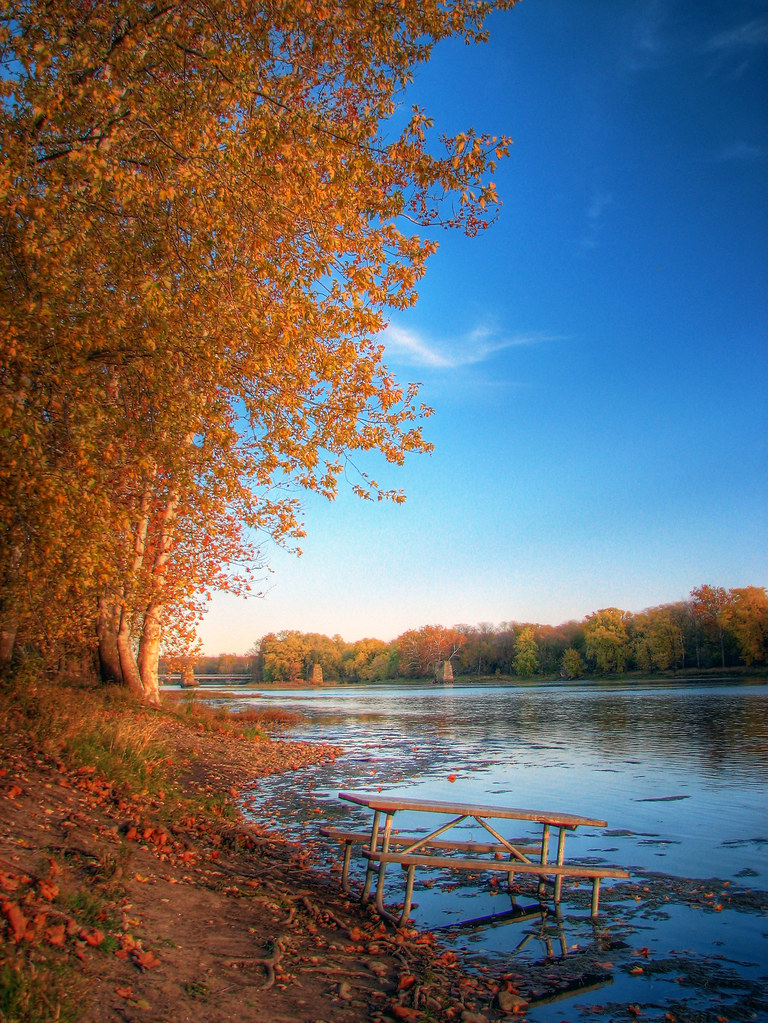
Picnic in the River

No Reflection
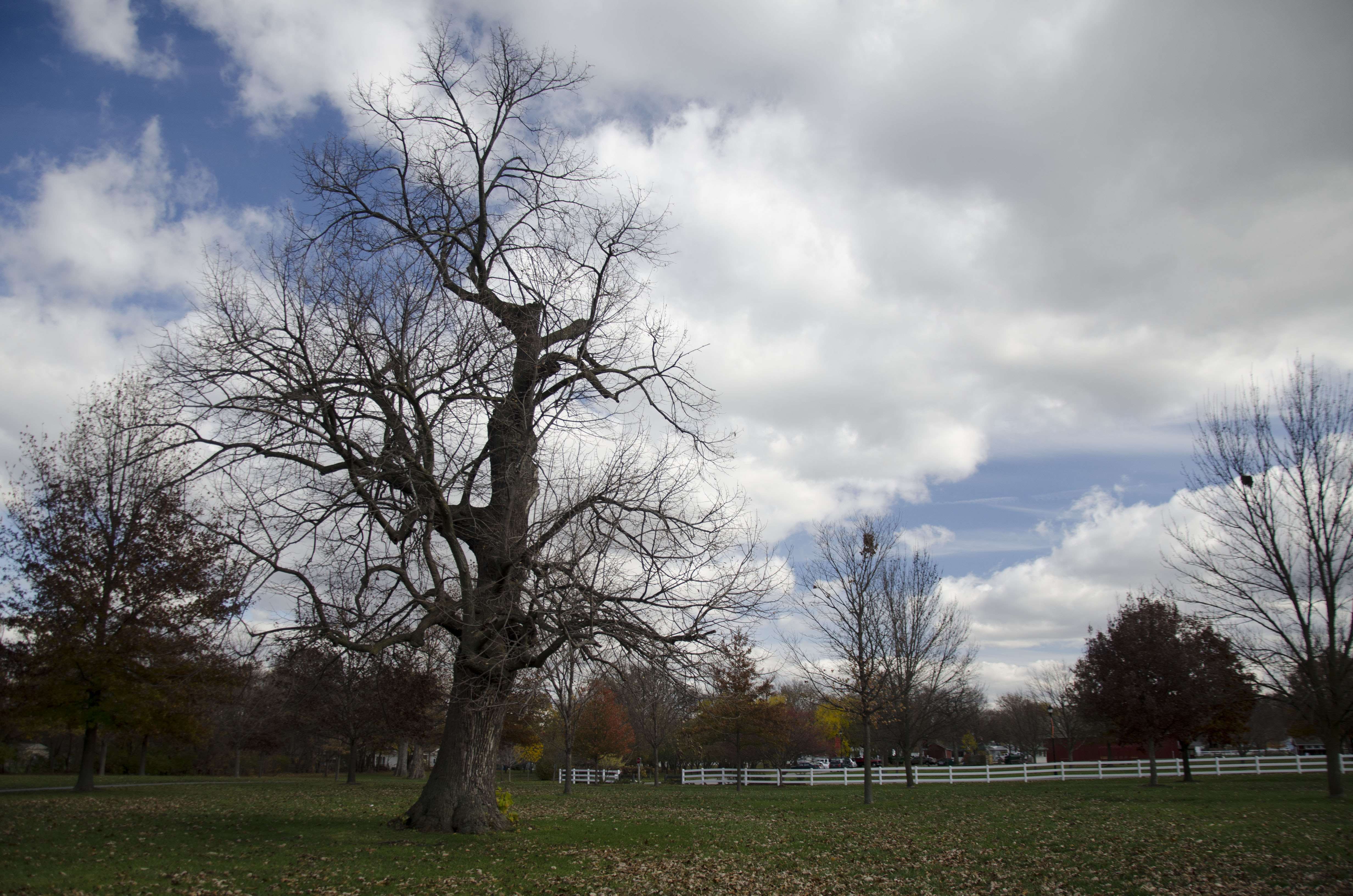
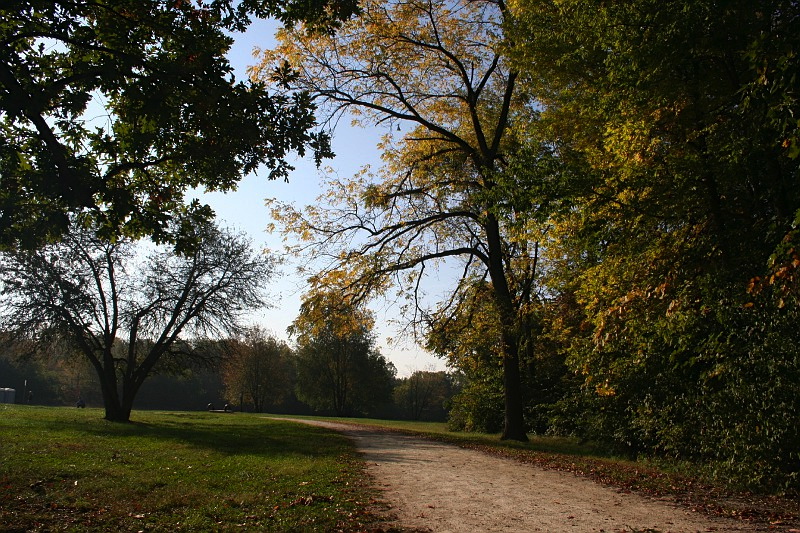
Beautiful day at the park #fall #kankakee #riverview #river

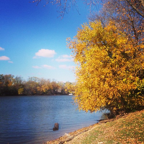
Last Hurrah

Midwestern skies. #sunset #cloudporn #trees #illinois
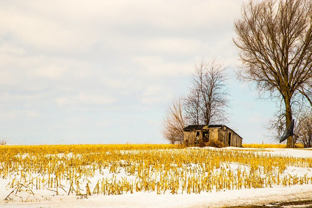
Shack with Satelite Dish
Farm Park Perry 023
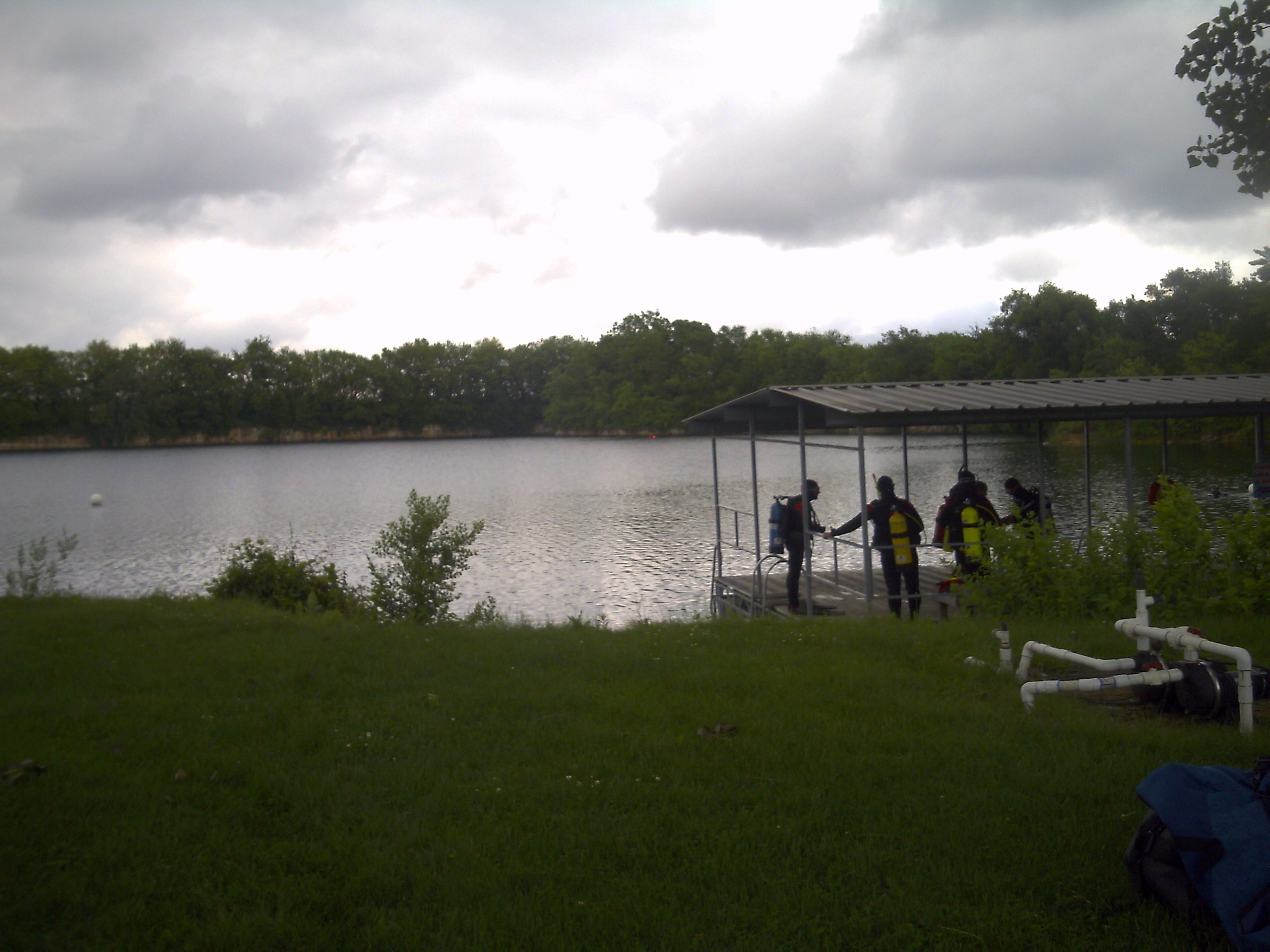
In the hole at Otto
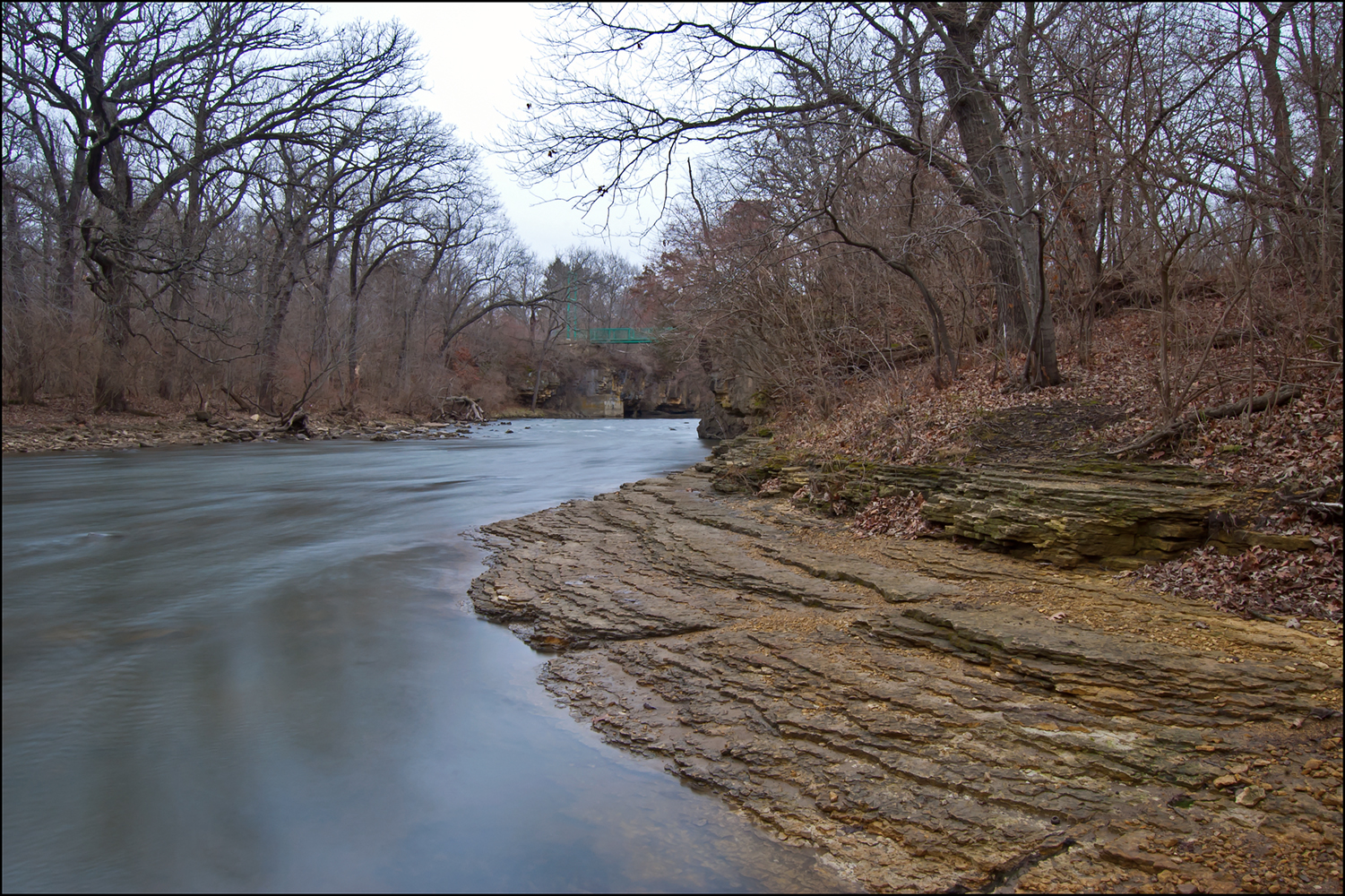
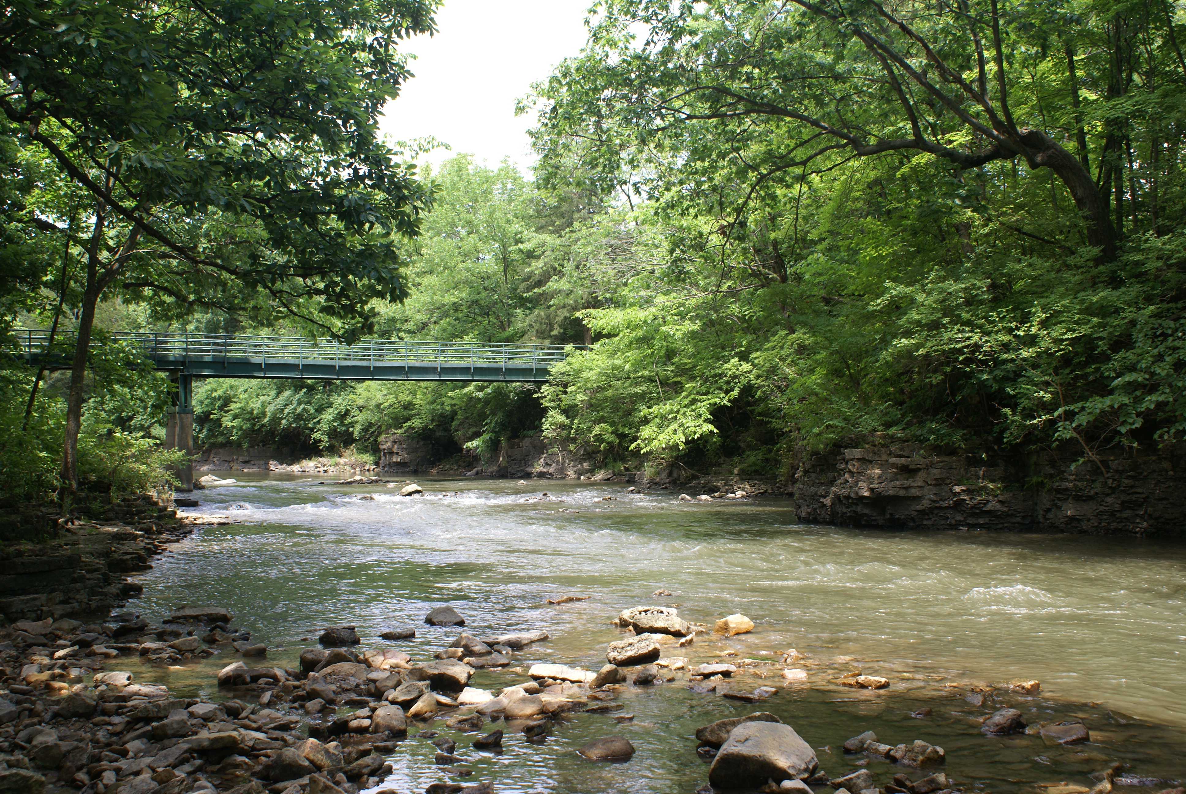
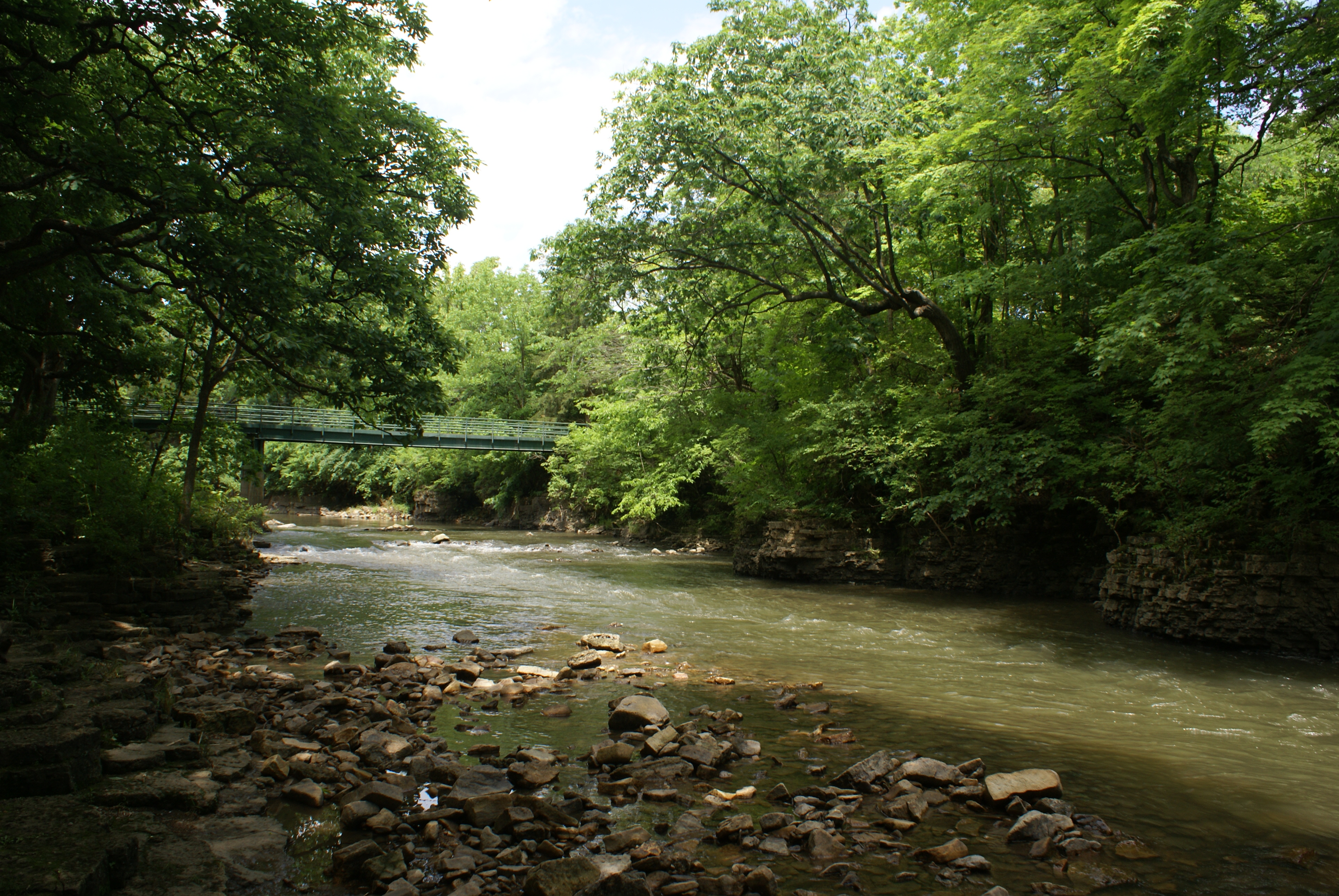
Rock Creek
DSC04169.JPG
DSC04168.JPG
6-2-13 005
Beginning of the run course

KankakeeRiverStatePark (27)
DSC04177.JPG

Upland Sandpiper
Fall at Bird Quarry Park
Topographic Map of Bradley, IL, USA
Find elevation by address:

Places in Bradley, IL, USA:
13 Old Farm N Ct
236 N Van Buren Ave
102 N Van Buren Ave
100 N Van Buren Ave
98 N Van Buren Ave
96 N Van Buren Ave
140 N Van Buren Ave
142 N Van Buren Ave
S Forest Ave, Bradley, IL, USA
424 Hilltop Ave
446 Hilltop Ave
Places near Bradley, IL, USA:
S Forest Ave, Bradley, IL, USA
Bourbonnais Road Commissioner
100 N Van Buren Ave
98 N Van Buren Ave
96 N Van Buren Ave
142 N Van Buren Ave
102 N Van Buren Ave
140 N Van Buren Ave
236 N Van Buren Ave
424 Hilltop Ave
446 Hilltop Ave
13 Old Farm N Ct
774 Olde Oak Dr
Bourbonnais Township
Bourbonnais
Kankakee County
N Co Hwy 44, Kankakee, IL, USA
Church St, Bourbonnais, IL, USA
Manteno
Ganeer Township
Recent Searches:
- Elevation of 116, Beartown Road, Underhill, Chittenden County, Vermont, 05489, USA
- Elevation of Window Rock, Colfax County, New Mexico, 87714, USA
- Elevation of 4807, Rosecroft Street, Kempsville Gardens, Virginia Beach, Virginia, 23464, USA
- Elevation map of Matawinie, Quebec, Canada
- Elevation of Sainte-Émélie-de-l'Énergie, Matawinie, Quebec, Canada
- Elevation of Rue du Pont, Sainte-Émélie-de-l'Énergie, Matawinie, Quebec, J0K2K0, Canada
- Elevation of 8, Rue de Bécancour, Blainville, Thérèse-De Blainville, Quebec, J7B1N2, Canada
- Elevation of Wilmot Court North, 163, University Avenue West, Northdale, Waterloo, Region of Waterloo, Ontario, N2L6B6, Canada
- Elevation map of Panamá Province, Panama
- Elevation of Balboa, Panamá Province, Panama
- Elevation of San Miguel, Balboa, Panamá Province, Panama
- Elevation of Isla Gibraleón, San Miguel, Balboa, Panamá Province, Panama
- Elevation of 4655, Krischke Road, Schulenburg, Fayette County, Texas, 78956, USA
- Elevation of Carnegie Avenue, Downtown Cleveland, Cleveland, Cuyahoga County, Ohio, 44115, USA
- Elevation of Walhonding, Coshocton County, Ohio, USA
- Elevation of Clifton Down, Clifton, Bristol, City of Bristol, England, BS8 3HU, United Kingdom
- Elevation map of Auvergne-Rhône-Alpes, France
- Elevation map of Upper Savoy, Auvergne-Rhône-Alpes, France
- Elevation of Chamonix-Mont-Blanc, Upper Savoy, Auvergne-Rhône-Alpes, France
- Elevation of 908, Northwood Drive, Bridge Field, Chesapeake, Virginia, 23322, USA