Elevation of Boxley Rd, Sheridan, IN, USA
Location: United States > Indiana > Hamilton County > Adams Township > Sheridan >
Longitude: -86.175702
Latitude: 40.166051
Elevation: 280m / 919feet
Barometric Pressure: 98KPa
Elevation Map:
Satellite Map:
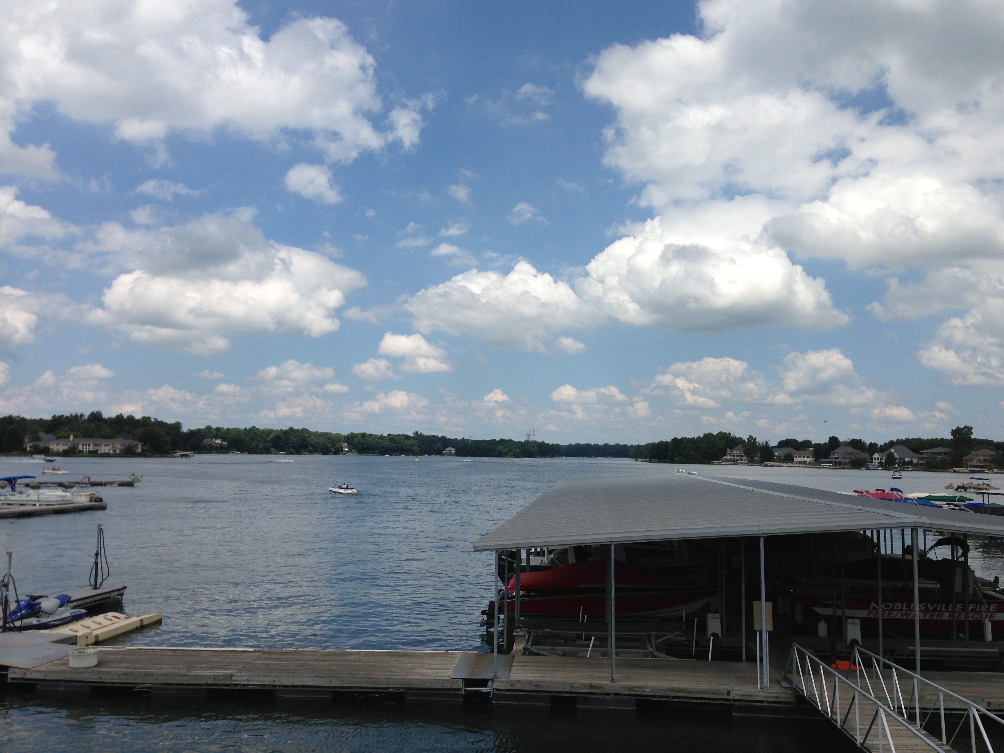
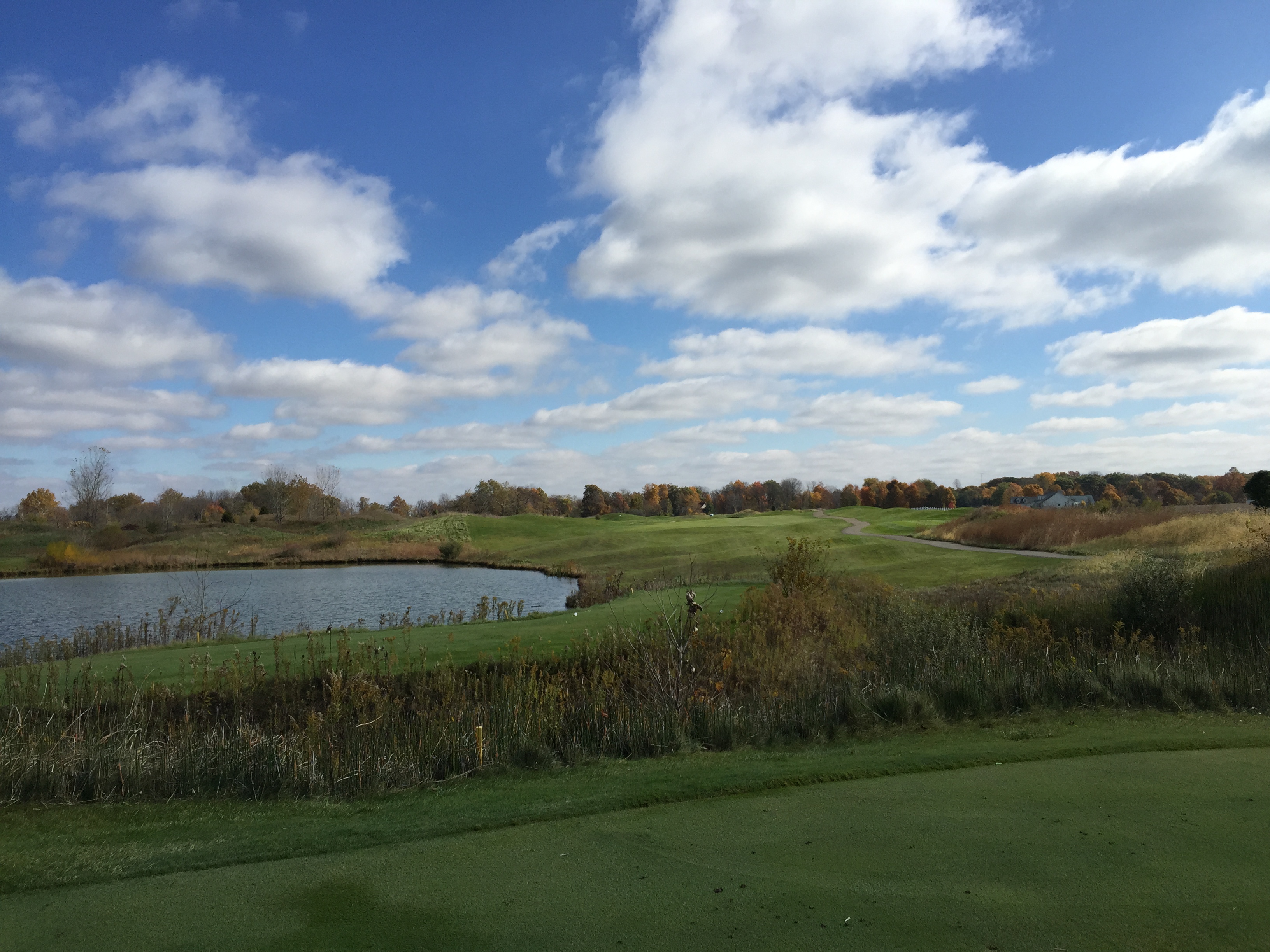
Related Photos:
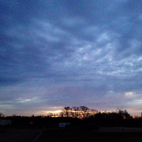
Today's mailbox trip photo. Just a little brighter than yesterday's but still the same view. #autumn #mailboxtrip #nofilter #sunrise

Tobacco sky

My favorite view in Grandma Spelbring's house... Great breeze, perfect temps, all windows open.... So peaceful. Don't want to leave. #family #indiana

Indiana Night

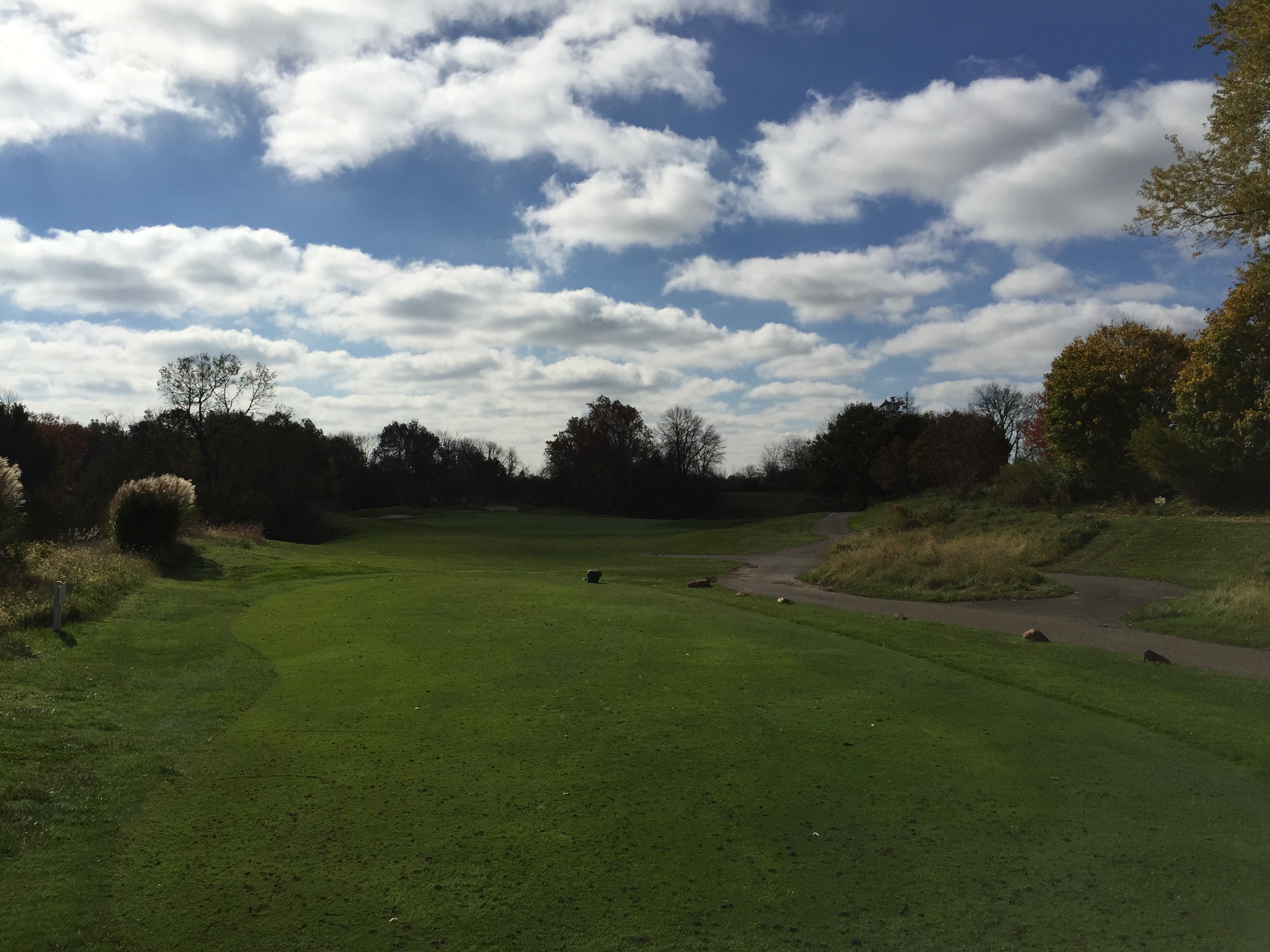
Bearslide Golf Club
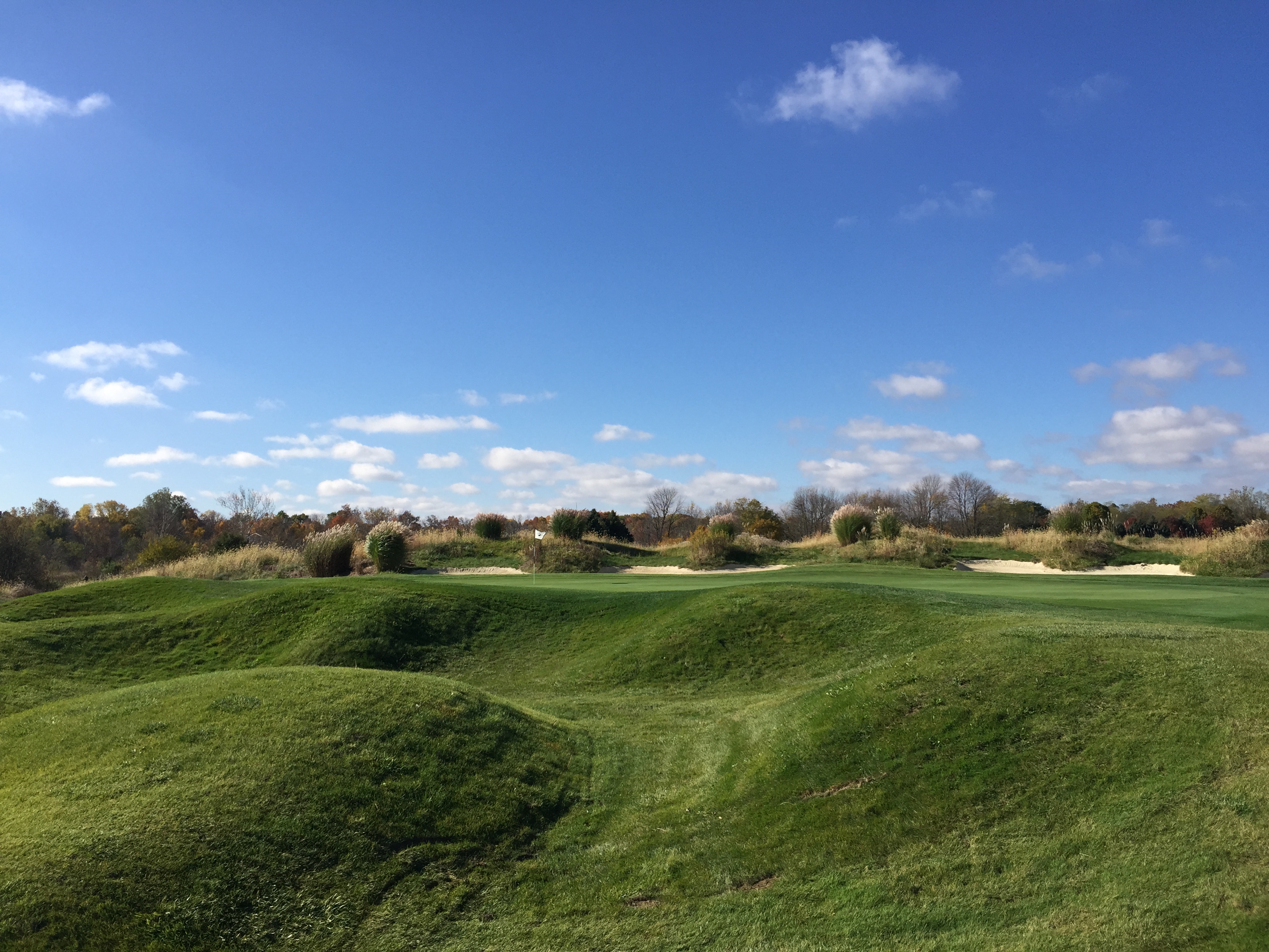
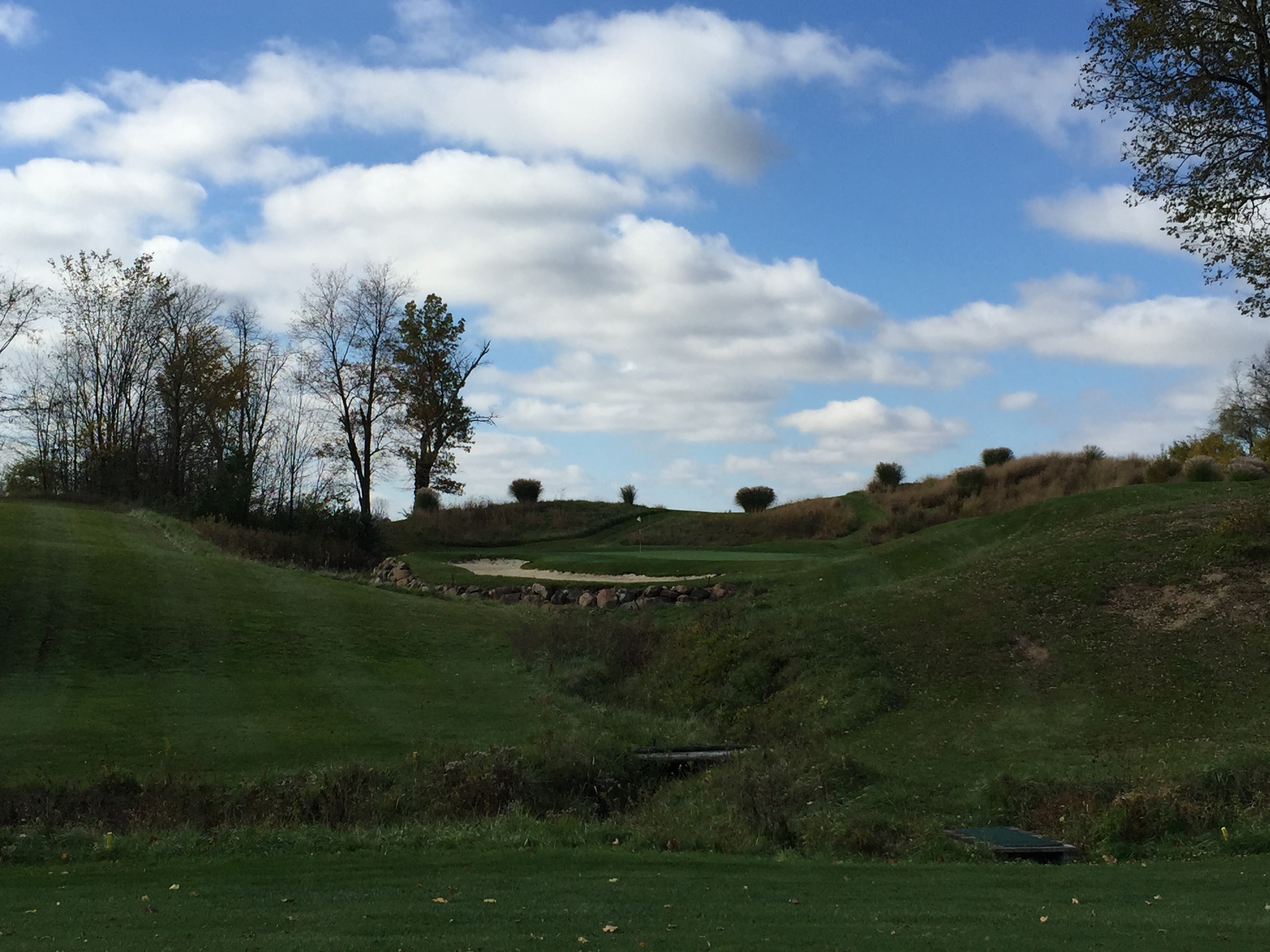
Bearslide Golf Club
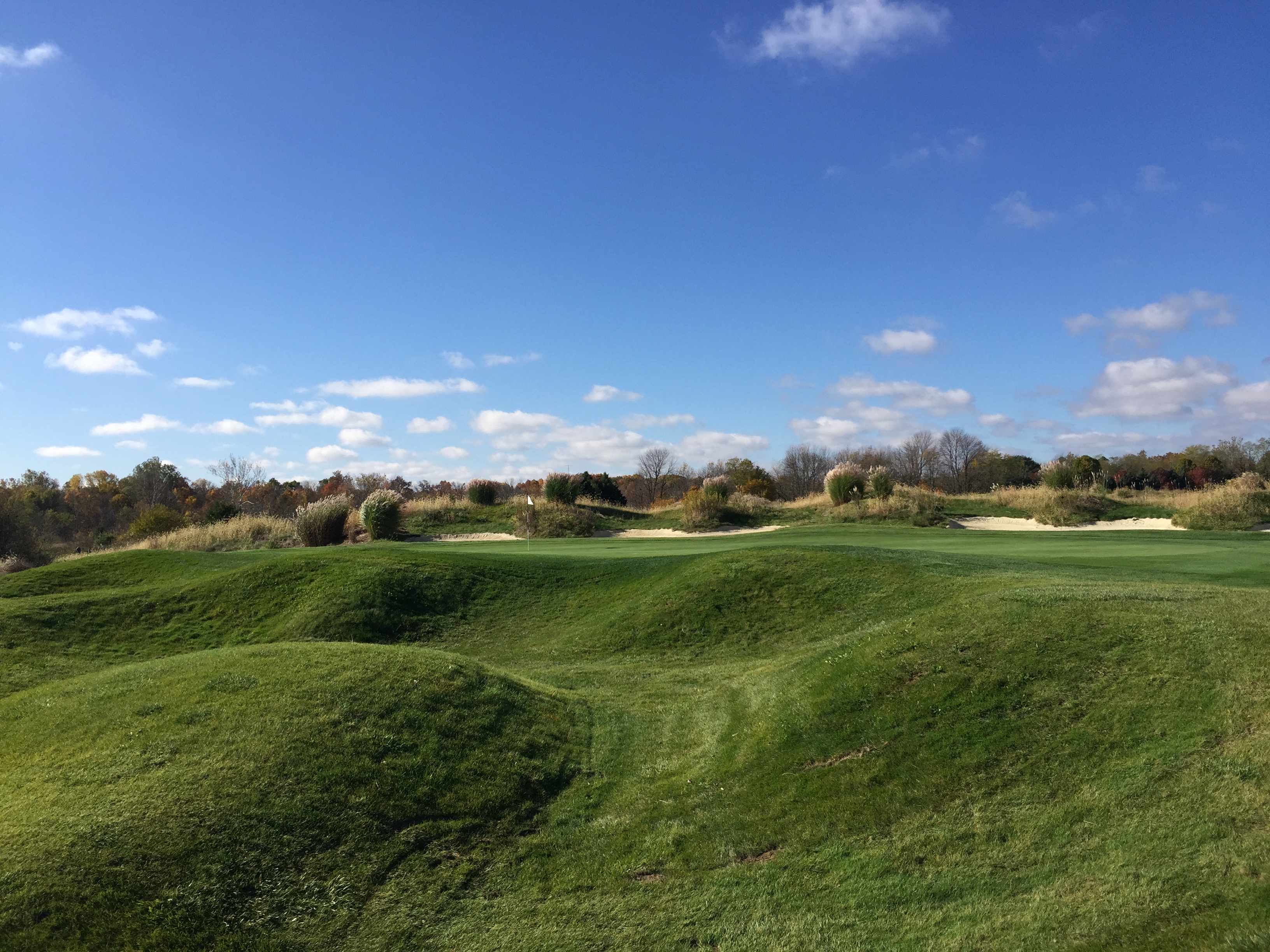
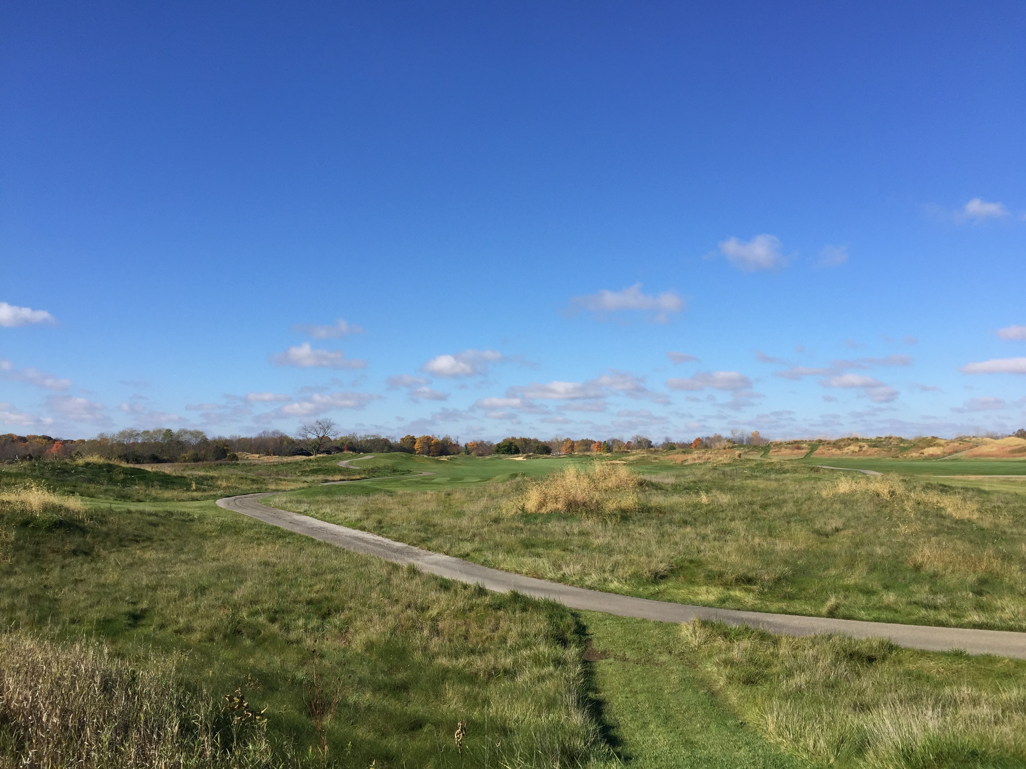
Bearslide Golf Club

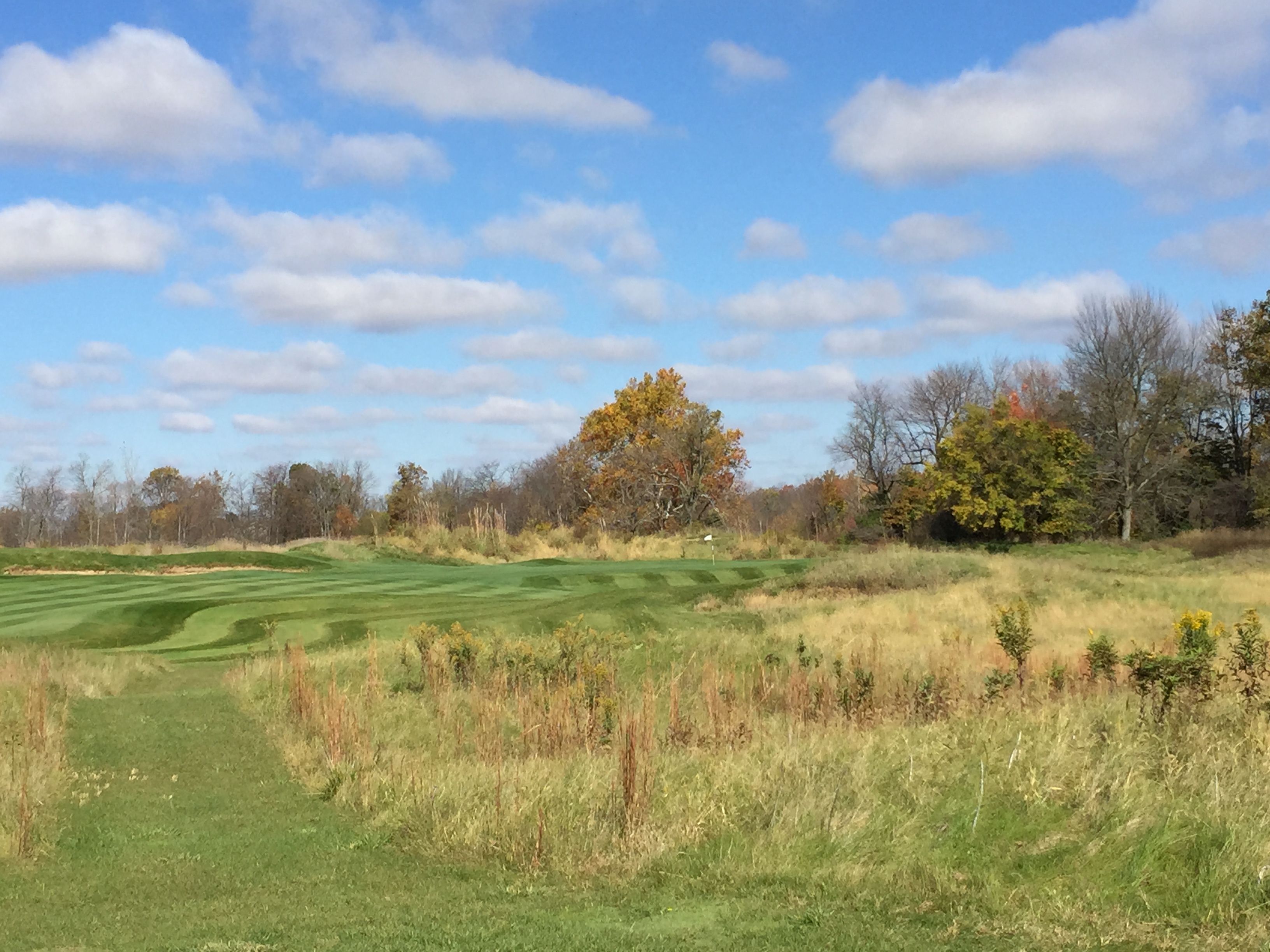
Bearslide Golf Club
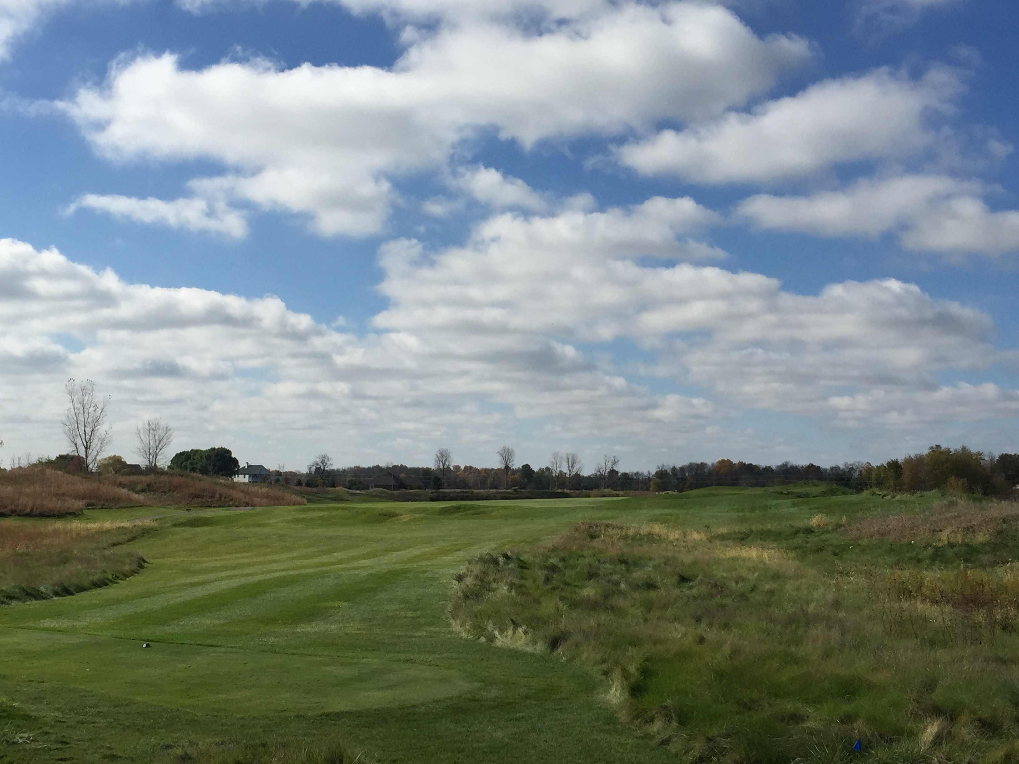
Bearslide Golf Club

Bearslide Golf Club
Bearslide Golf Club
Bearslide Golf Club

Bearslide Golf Club
Bearslide Golf Club

IMG_0316[1]
Bearslide Golf Club

Bearslide Golf Club

Bearslide Golf Club
IMG_0313[1]

Bearslide Golf Club

Bearslide Golf Club

Flurry 2

The green
Bearslide Golf Club

River of Flames
Topographic Map of Boxley Rd, Sheridan, IN, USA
Find elevation by address:

Places near Boxley Rd, Sheridan, IN, USA:
Adams Township
W S, Tipton, IN, USA
Sheridan
Sheridan, IN, USA
E County Line Rd, Atlanta, IN, USA
Lamong Rd, Sheridan, IN, USA
E Main St, Cicero, IN, USA
Silver Drache Farm
Jefferson Township
Jackson Township
Grand Park Sports Campus
Washington Township
Indiana
18881 Immi Way
Meridian St, Tipton, IN, USA
17501 Dartown Rd
Westfield
IN-32, Westfield, IN, USA
16734 Colfax Ln
Ashley Place Apartments
Recent Searches:
- Elevation of Corso Fratelli Cairoli, 35, Macerata MC, Italy
- Elevation of Tallevast Rd, Sarasota, FL, USA
- Elevation of 4th St E, Sonoma, CA, USA
- Elevation of Black Hollow Rd, Pennsdale, PA, USA
- Elevation of Oakland Ave, Williamsport, PA, USA
- Elevation of Pedrógão Grande, Portugal
- Elevation of Klee Dr, Martinsburg, WV, USA
- Elevation of Via Roma, Pieranica CR, Italy
- Elevation of Tavkvetili Mountain, Georgia
- Elevation of Hartfords Bluff Cir, Mt Pleasant, SC, USA