Elevation of Adams Township, IN, USA
Location: United States > Indiana > Hamilton County >
Longitude: -86.195516
Latitude: 40.1443646
Elevation: 282m / 925feet
Barometric Pressure: 98KPa
Elevation Map:
Satellite Map:
Related Photos:

Today's mailbox trip photo. Just a little brighter than yesterday's but still the same view. #autumn #mailboxtrip #nofilter #sunrise

Tobacco sky

Indiana Night

Flurry 2

corn rise

Bearslide Golf Club
Bearslide Golf Club

Country Bridge
Bearslide Golf Club

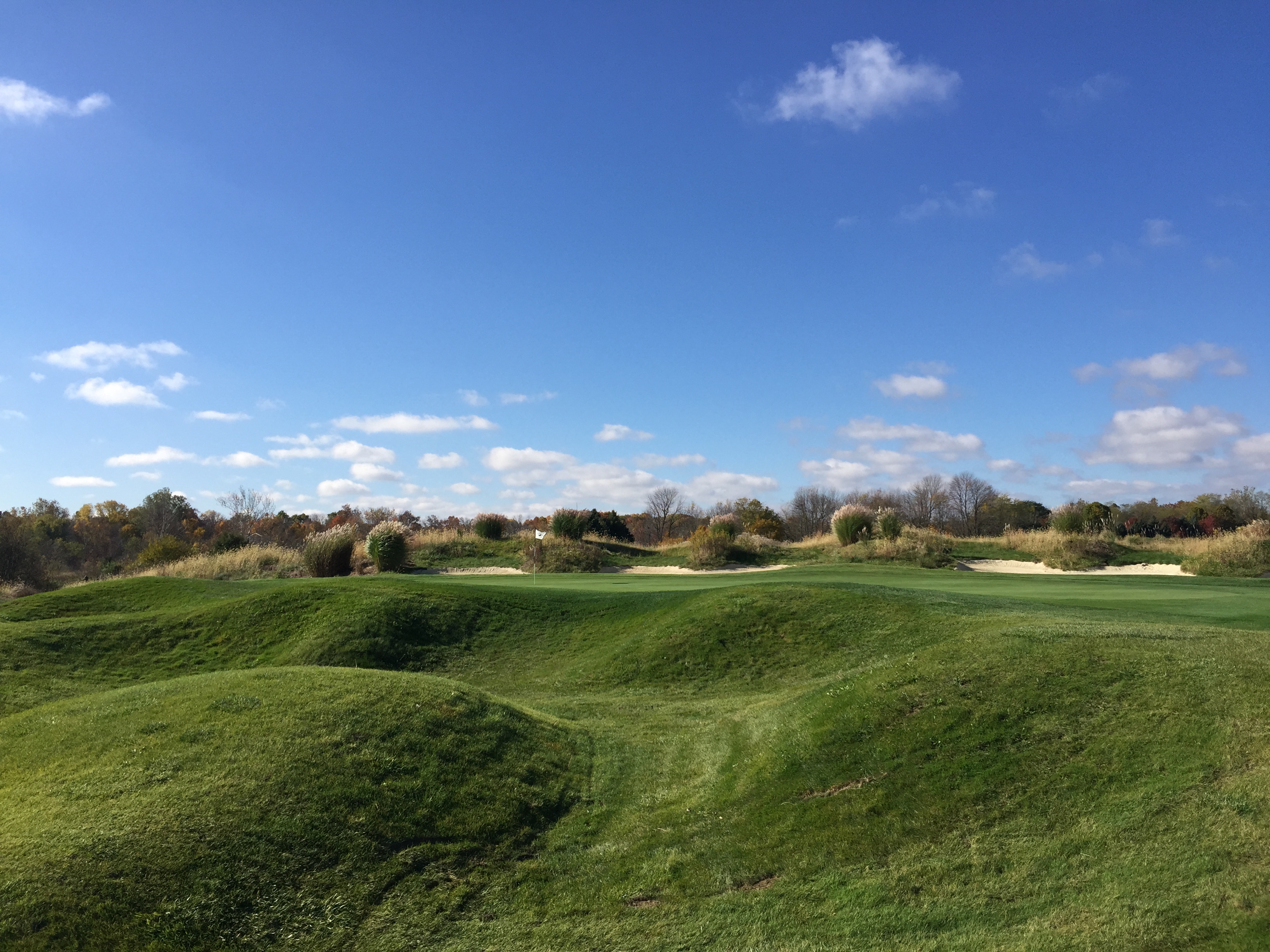
The green

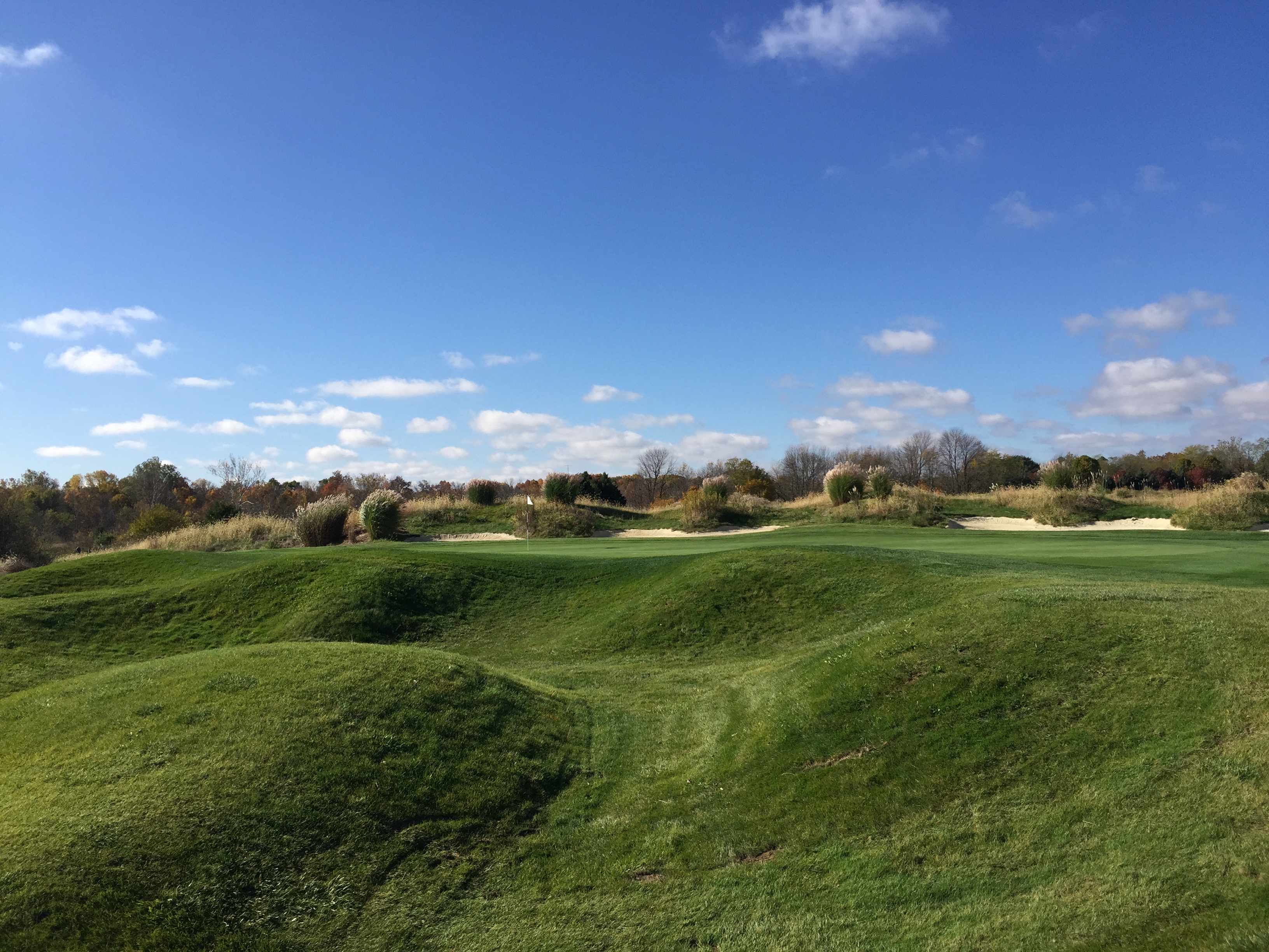
Bearslide Golf Club
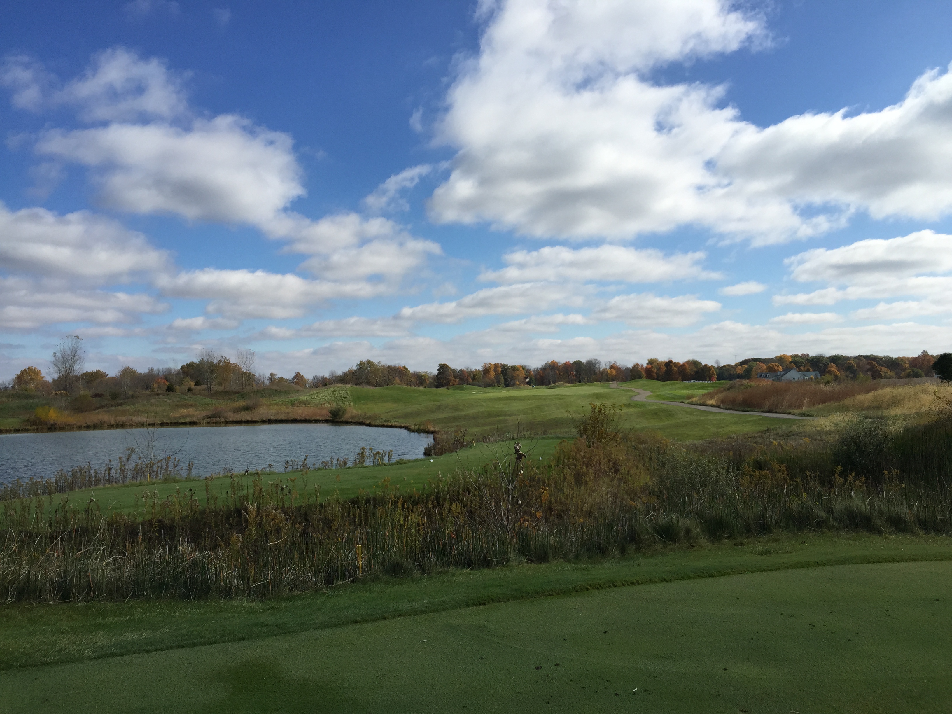
Bearslide Golf Club

River of Flames

North 1200 East - Sheridan, Indiana
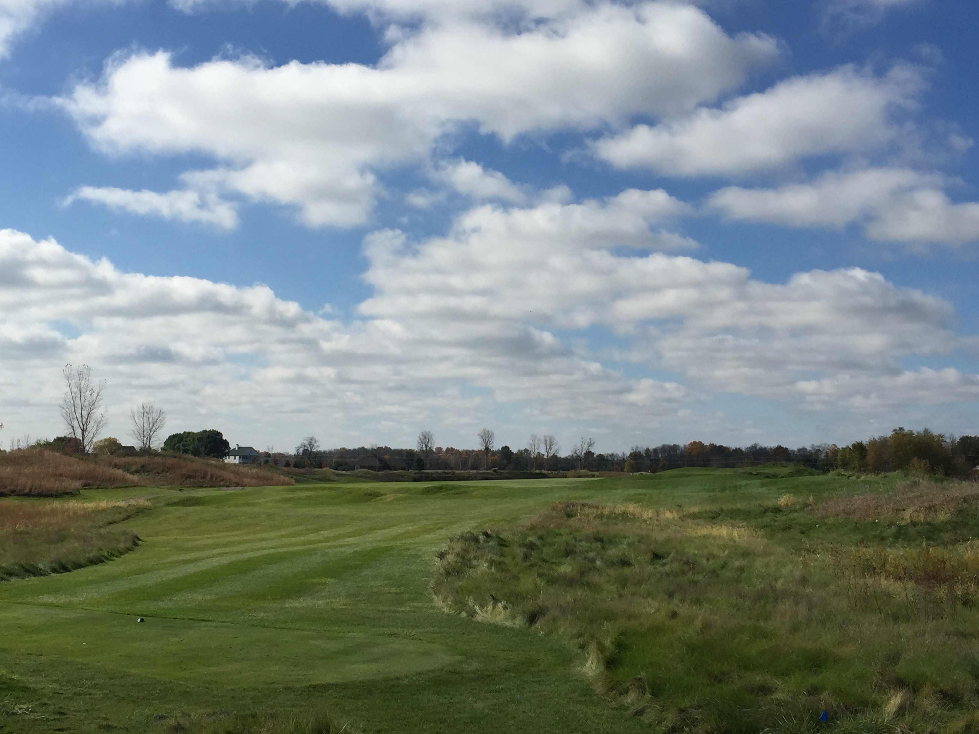
Bearslide Golf Club
Bearslide Golf Club

Bearslide Golf Club

Bearslide Golf Club

Bearslide Golf Club

Bearslide Golf Club

House Finch Juvenile 2
Bearslide Golf Club

Bearslide Golf Club
Bearslide Golf Club
Topographic Map of Adams Township, IN, USA
Find elevation by address:

Places in Adams Township, IN, USA:
Places near Adams Township, IN, USA:
Sheridan
Boxley Rd, Sheridan, IN, USA
Sheridan, IN, USA
Lamong Rd, Sheridan, IN, USA
Silver Drache Farm
W S, Tipton, IN, USA
Washington Township
Grand Park Sports Campus
E County Line Rd, Atlanta, IN, USA
E Main St, Cicero, IN, USA
18881 Immi Way
IN-32, Westfield, IN, USA
17501 Dartown Rd
16734 Colfax Ln
Westfield
Jackson Township
Jefferson Township
Ashley Place Apartments
802 S 1100 E
N Michigan Rd, Zionsville, IN, USA
Recent Searches:
- Elevation of Corso Fratelli Cairoli, 35, Macerata MC, Italy
- Elevation of Tallevast Rd, Sarasota, FL, USA
- Elevation of 4th St E, Sonoma, CA, USA
- Elevation of Black Hollow Rd, Pennsdale, PA, USA
- Elevation of Oakland Ave, Williamsport, PA, USA
- Elevation of Pedrógão Grande, Portugal
- Elevation of Klee Dr, Martinsburg, WV, USA
- Elevation of Via Roma, Pieranica CR, Italy
- Elevation of Tavkvetili Mountain, Georgia
- Elevation of Hartfords Bluff Cir, Mt Pleasant, SC, USA