Elevation of Boundary County HP, Idaho, USA
Location: United States > Idaho > Bonners Ferry >
Longitude: -116.55416
Latitude: 48.8452777
Elevation: 2327m / 7634feet
Barometric Pressure: 76KPa
Elevation Map:
Satellite Map:
Related Photos:
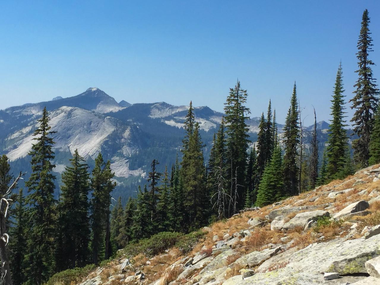
View south from Myrtle Peak to Harrison Peak
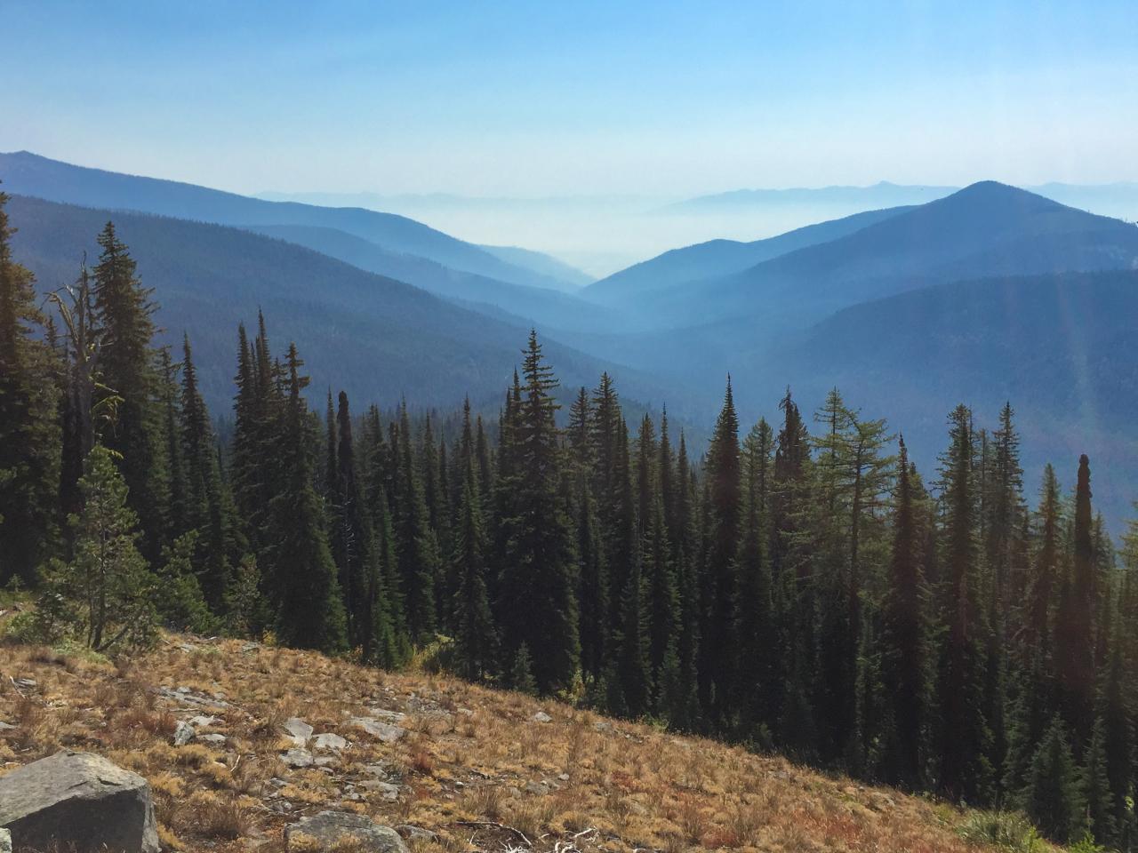
View east down Myrtle Creek from the trail to Myrtle Peak
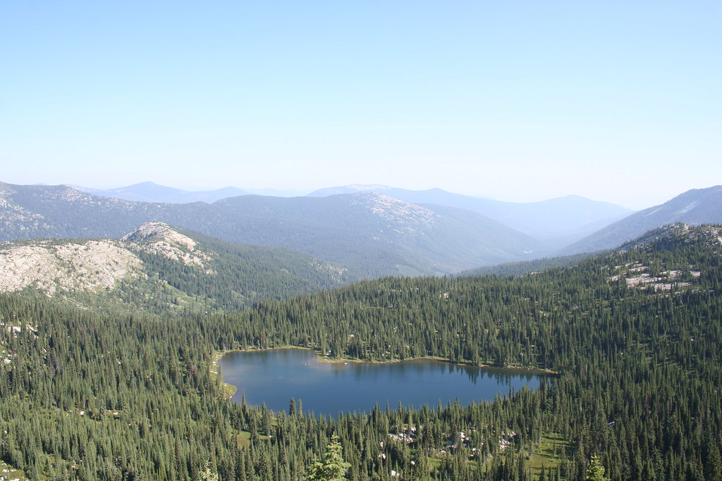
A View of West Fork Lake from the Top
Topographic Map of Boundary County HP, Idaho, USA
Find elevation by address:

Places near Boundary County HP, Idaho, USA:
Parker Peak
Boundary County
Farnham Peak
Eneas Peak
Smith Falls
3057 Farm To Market Rd
2425 Porthill Rd
Harrison Peak
Lone Tree Peak
1902 Leaning Tree Rd
Myrtle Falls Trail
Reclamation Road
District 5 Rd, Bonners Ferry, ID, USA
809 Balsam Rd
Roman Nose Lakes
Ruby Creek Road
Lister
Fawn Lane Farms
1758 Giles Connection Rd
616 16 Ave S
Recent Searches:
- Elevation of Corso Fratelli Cairoli, 35, Macerata MC, Italy
- Elevation of Tallevast Rd, Sarasota, FL, USA
- Elevation of 4th St E, Sonoma, CA, USA
- Elevation of Black Hollow Rd, Pennsdale, PA, USA
- Elevation of Oakland Ave, Williamsport, PA, USA
- Elevation of Pedrógão Grande, Portugal
- Elevation of Klee Dr, Martinsburg, WV, USA
- Elevation of Via Roma, Pieranica CR, Italy
- Elevation of Tavkvetili Mountain, Georgia
- Elevation of Hartfords Bluff Cir, Mt Pleasant, SC, USA