Elevation of Giles Connection Rd, Bonners Ferry, ID, USA
Location: United States > Idaho > Bonners Ferry >
Longitude: -116.31710
Latitude: 48.8448304
Elevation: 778m / 2552feet
Barometric Pressure: 92KPa
Elevation Map:
Satellite Map:
Related Photos:

Deer Ridge Lookout
View of Bonner's Ferry
Kootenay Valley, Idaho. Hwy 1/Hwy 95
Robinson Lake, Near Canadian Border
IMG_8250.jpg
Kootenai Game Reserve, Bonners Ferry, Idaho
Kootenai River Reflection Near Cascade Creek
IMG_8248.jpg
IMG_8239.jpg
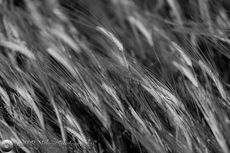
Wheat Black and White

19990717-003
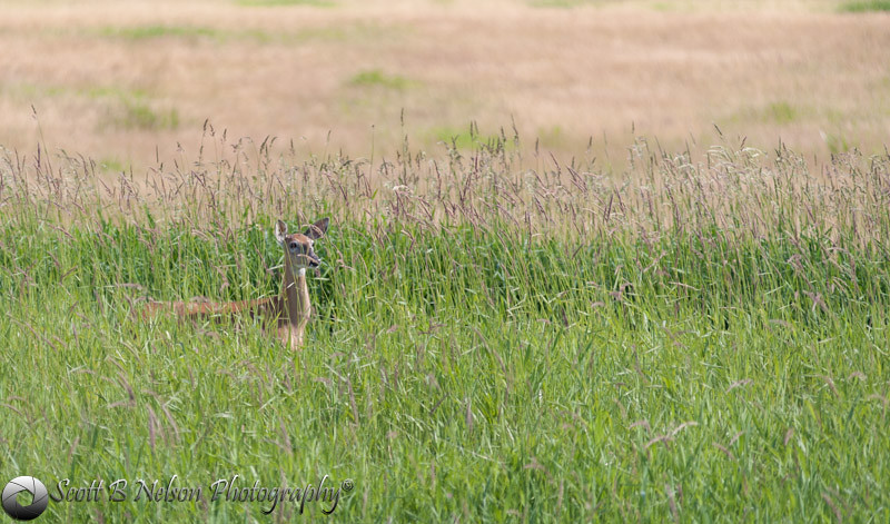
White Tailed Deer
Topographic Map of Giles Connection Rd, Bonners Ferry, ID, USA
Find elevation by address:

Places near Giles Connection Rd, Bonners Ferry, ID, USA:
414 Fortyniner Ln
Fawn Lane Farms
467 Templeman Lake Rd
Smith Lake
6199 Meadow Creek Rd
District 5 Rd, Bonners Ferry, ID, USA
224 Bane Ln
US-95, Bonners Ferry, ID, USA
524 Hillcrest Rd
7491 Crow Street
Kaniksu Street
34 Arrowleaf Dr
Kootenai Street
6593 Madison St
Quiet Place
455 French Point Dr
U.s. 2
U.s. 2
Moyie Springs
2766 Katka Rd
Recent Searches:
- Elevation of Corso Fratelli Cairoli, 35, Macerata MC, Italy
- Elevation of Tallevast Rd, Sarasota, FL, USA
- Elevation of 4th St E, Sonoma, CA, USA
- Elevation of Black Hollow Rd, Pennsdale, PA, USA
- Elevation of Oakland Ave, Williamsport, PA, USA
- Elevation of Pedrógão Grande, Portugal
- Elevation of Klee Dr, Martinsburg, WV, USA
- Elevation of Via Roma, Pieranica CR, Italy
- Elevation of Tavkvetili Mountain, Georgia
- Elevation of Hartfords Bluff Cir, Mt Pleasant, SC, USA