Elevation of Boondocks Road, Boondocks Rd, Beaumont, TX, USA
Location: United States > Texas > Jefferson County > Beaumont >
Longitude: -94.225197
Latitude: 29.8597092
Elevation: 2m / 7feet
Barometric Pressure: 101KPa
Elevation Map:
Satellite Map:
Related Photos:
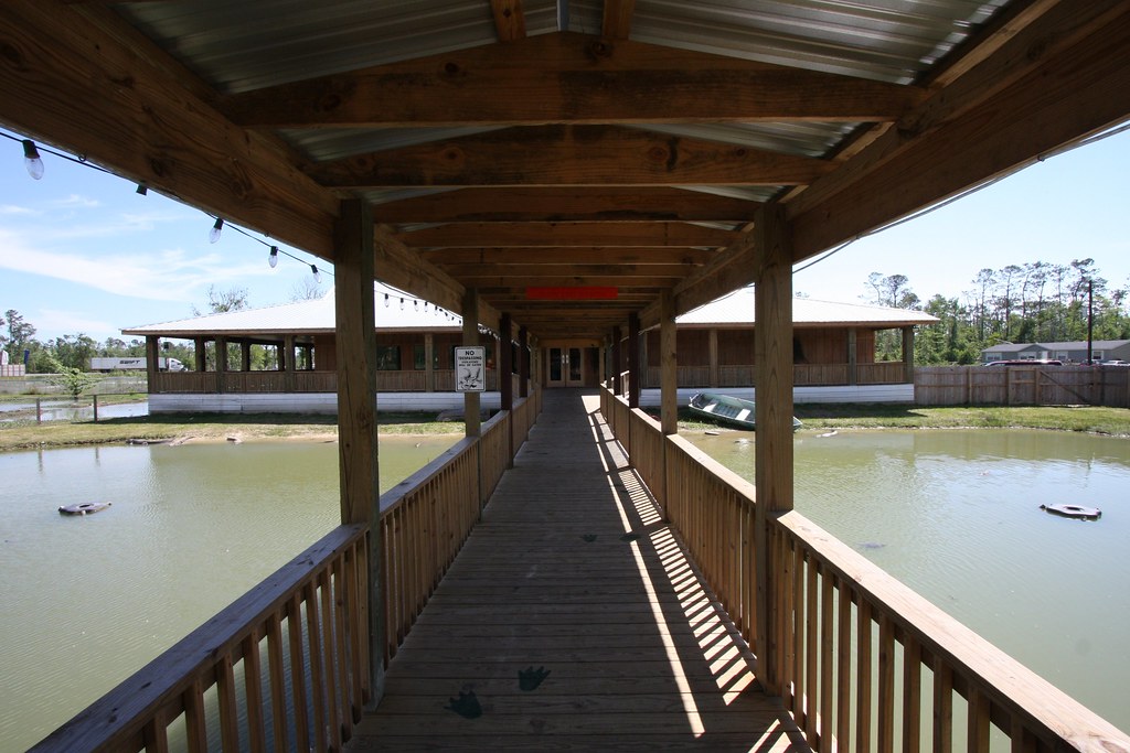
Boardwalk to the Restaurant
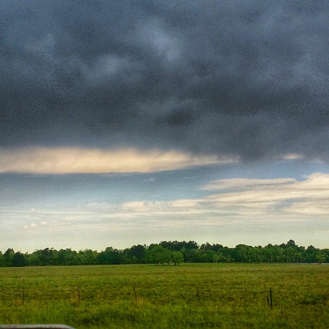
#texas #houson #storm #txwx #blacksky
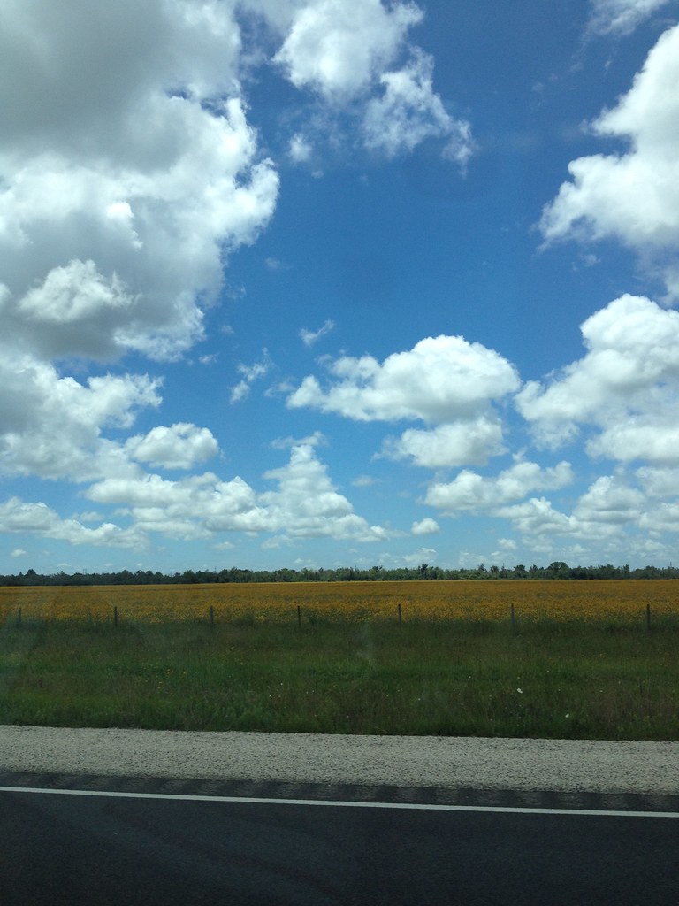
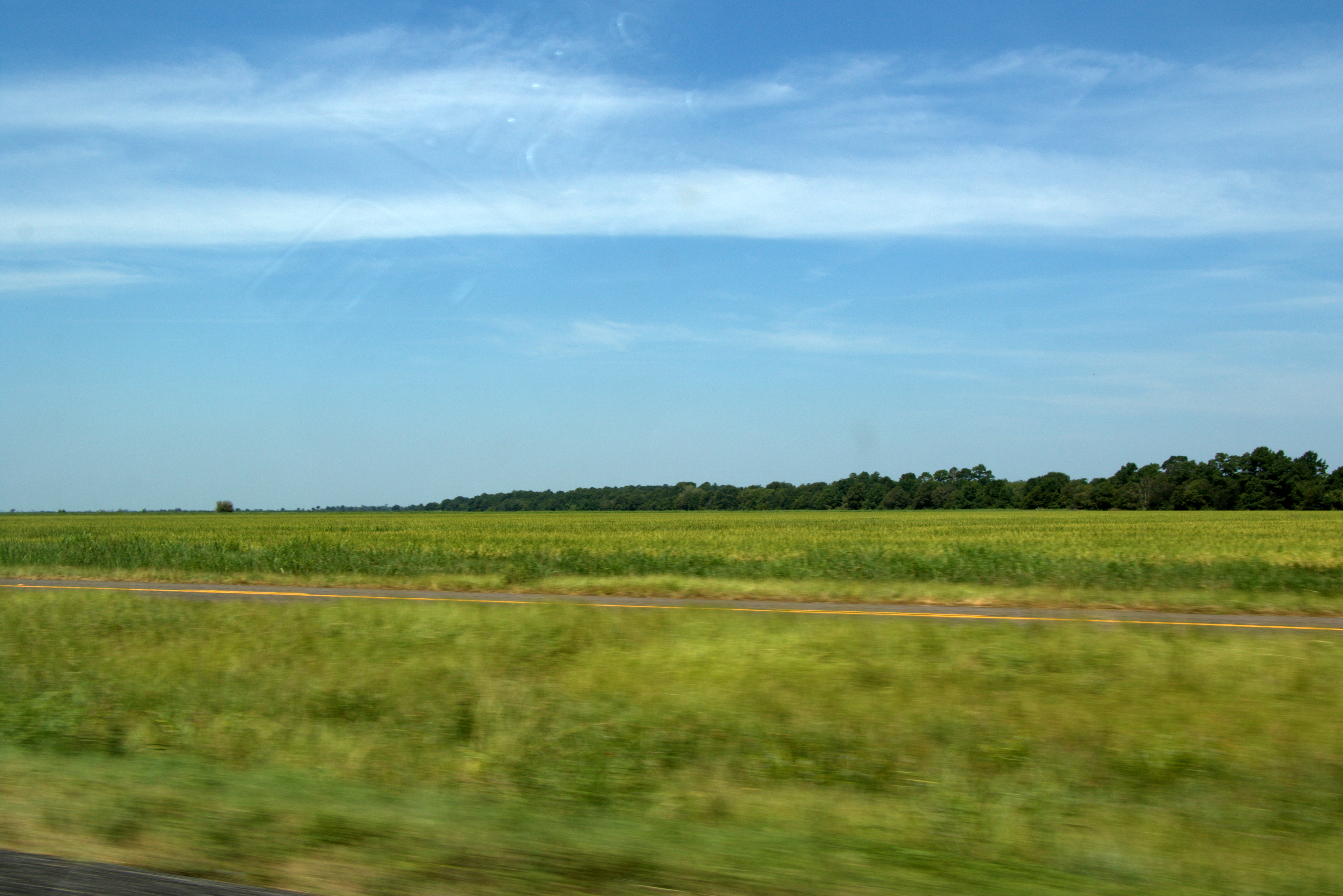
pretty yellow fields

#Sunset in Texas this evening near the town of Winnie, Texas.#travel #roadtrip

Clouds over the Gulf of Mexico...

Lost Labelle Rd Swing Bridge over Taylor Bayou 1411091132
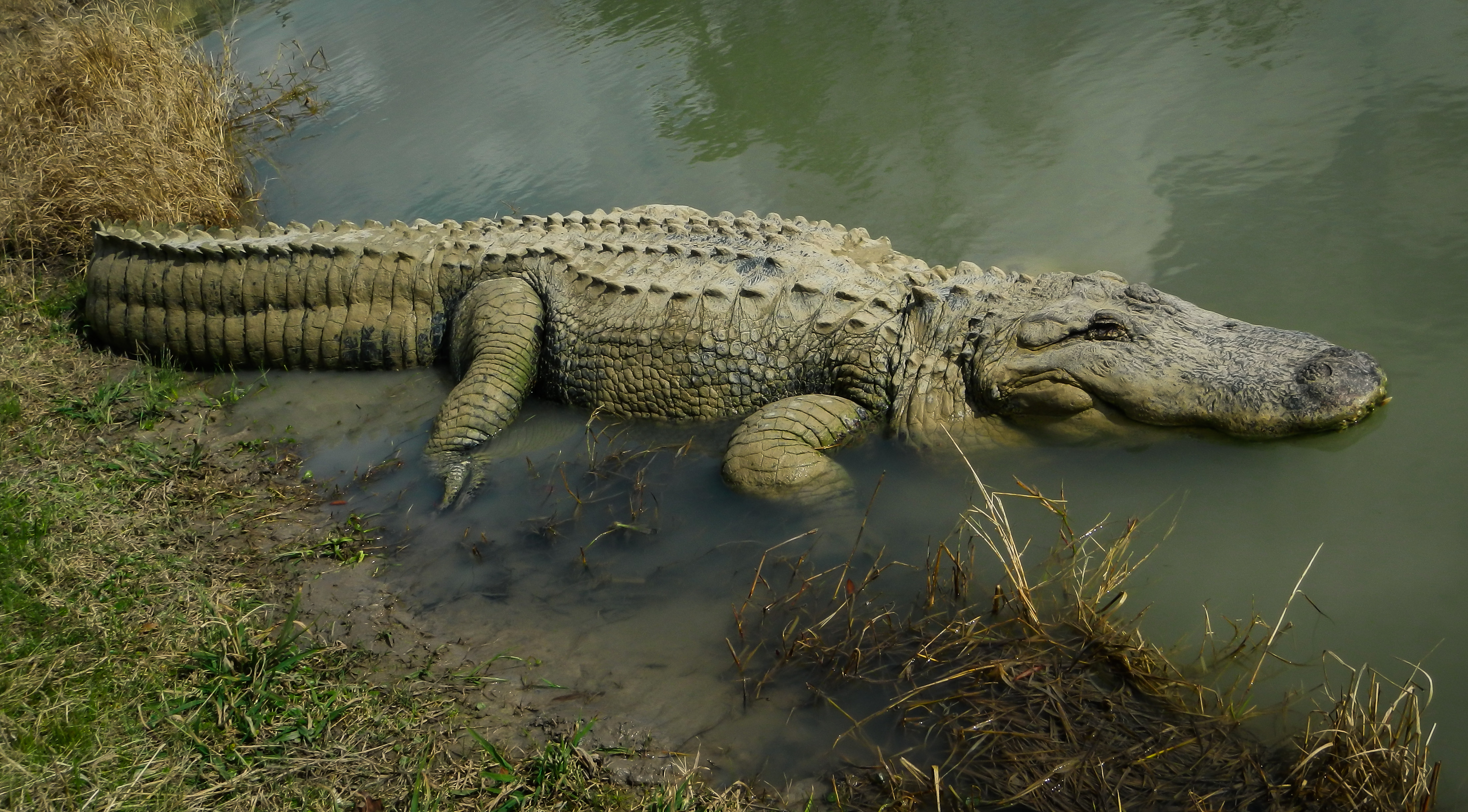
The Infamous Big Al
IMG_4316.CR2

#run

#run
Topographic Map of Boondocks Road, Boondocks Rd, Beaumont, TX, USA
Find elevation by address:

Places near Boondocks Road, Boondocks Rd, Beaumont, TX, USA:
7535 Kelly Camp Rd
14775 Boondocks Rd
14804 Boondocks Rd
14670 Dubois Rd
14476 Boondocks Rd
14465 Boondocks Rd
7245 Patterson Rd
6743 Wilford Rd
14276 Lettie Ln
14597 Craigen Rd
17784 Magnolia Dr
Magnolia Drive
17758 Wilber Rd
19475 Big Hill Rd
Hamshire
San Jacinto St, Hamshire, TX, USA
Cjb Lane
12905 Martine Rd
24221 Tx-73
Rollins Road
Recent Searches:
- Elevation of Corso Fratelli Cairoli, 35, Macerata MC, Italy
- Elevation of Tallevast Rd, Sarasota, FL, USA
- Elevation of 4th St E, Sonoma, CA, USA
- Elevation of Black Hollow Rd, Pennsdale, PA, USA
- Elevation of Oakland Ave, Williamsport, PA, USA
- Elevation of Pedrógão Grande, Portugal
- Elevation of Klee Dr, Martinsburg, WV, USA
- Elevation of Via Roma, Pieranica CR, Italy
- Elevation of Tavkvetili Mountain, Georgia
- Elevation of Hartfords Bluff Cir, Mt Pleasant, SC, USA