Elevation of Bolton Point Rd, South Pittsburg, TN, USA
Location: United States > Tennessee > Marion County > South Pittsburg >
Longitude: -85.800477
Latitude: 35.048415
Elevation: 532m / 1745feet
Barometric Pressure: 95KPa
Elevation Map:
Satellite Map:
Related Photos:

Bridgeport, AL Lift bridge

Ruby Falls Barn

Frances Conner
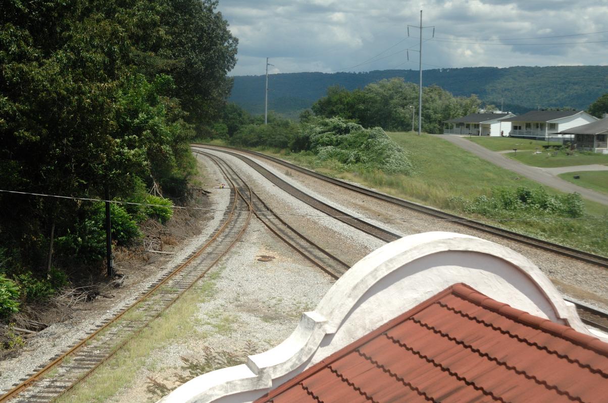
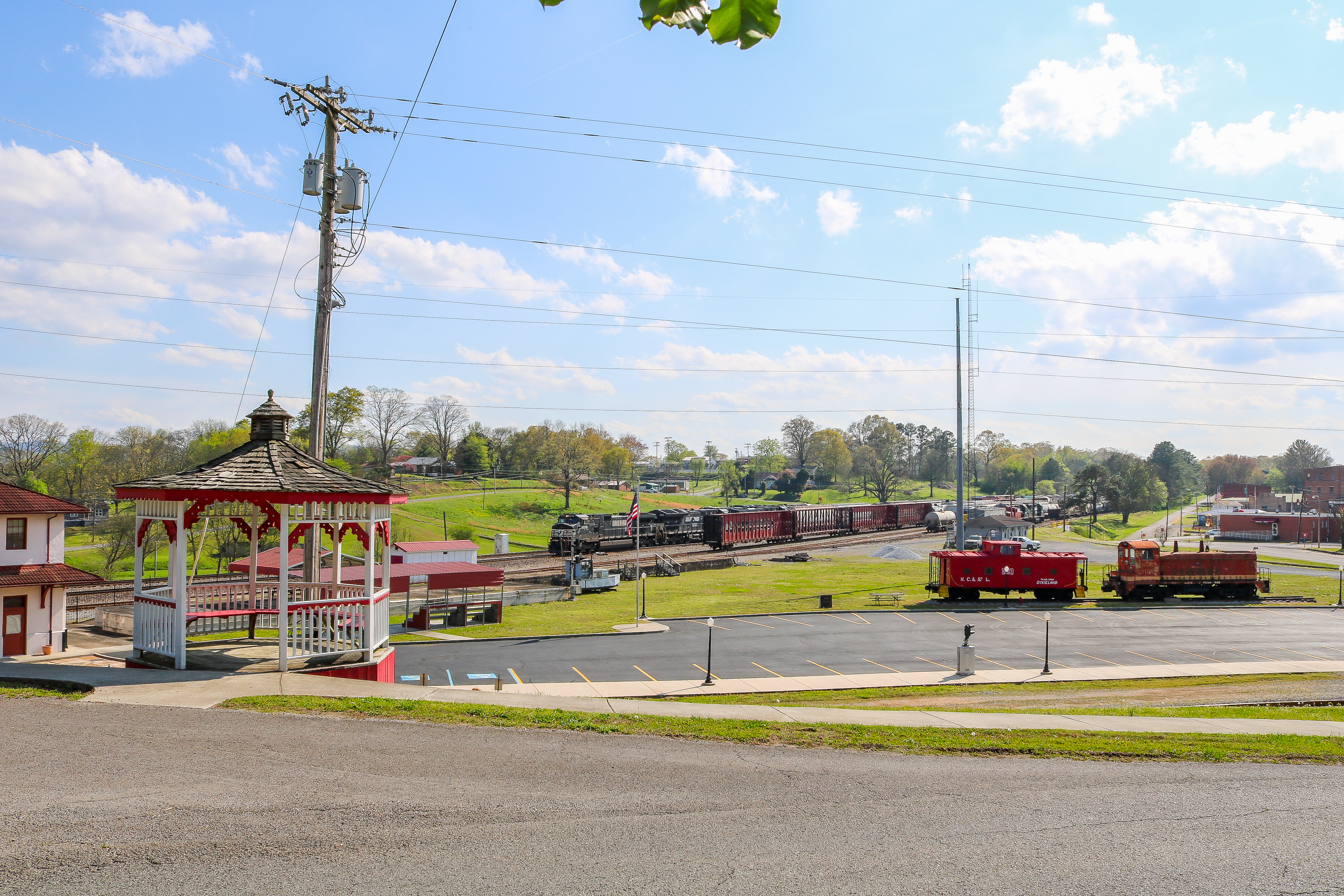
Bridgeport Depot (view from tower)

View of 3 states: TN, GA, and AL
Illuminated view
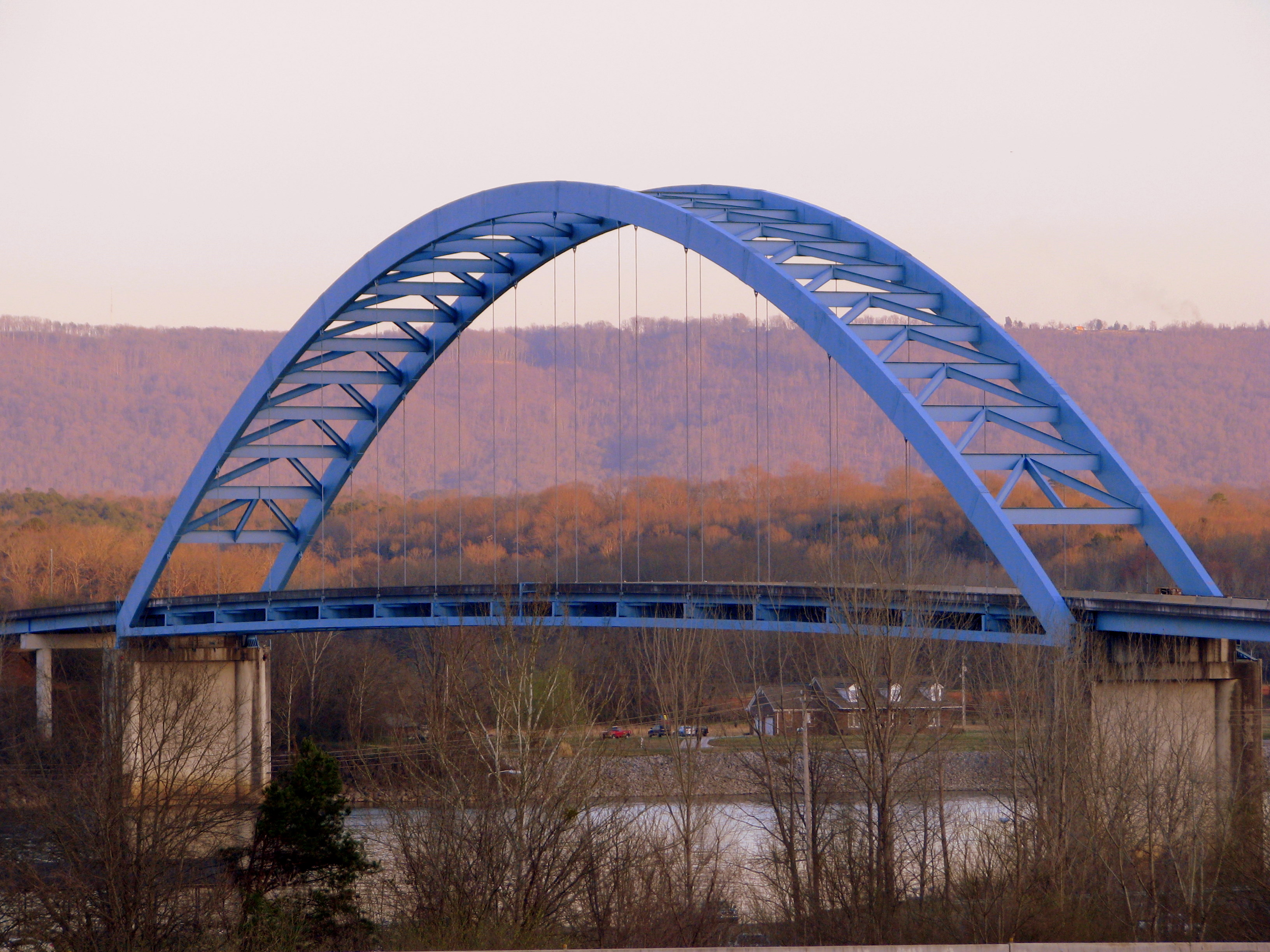
Shelby Reinhart Bridge 2
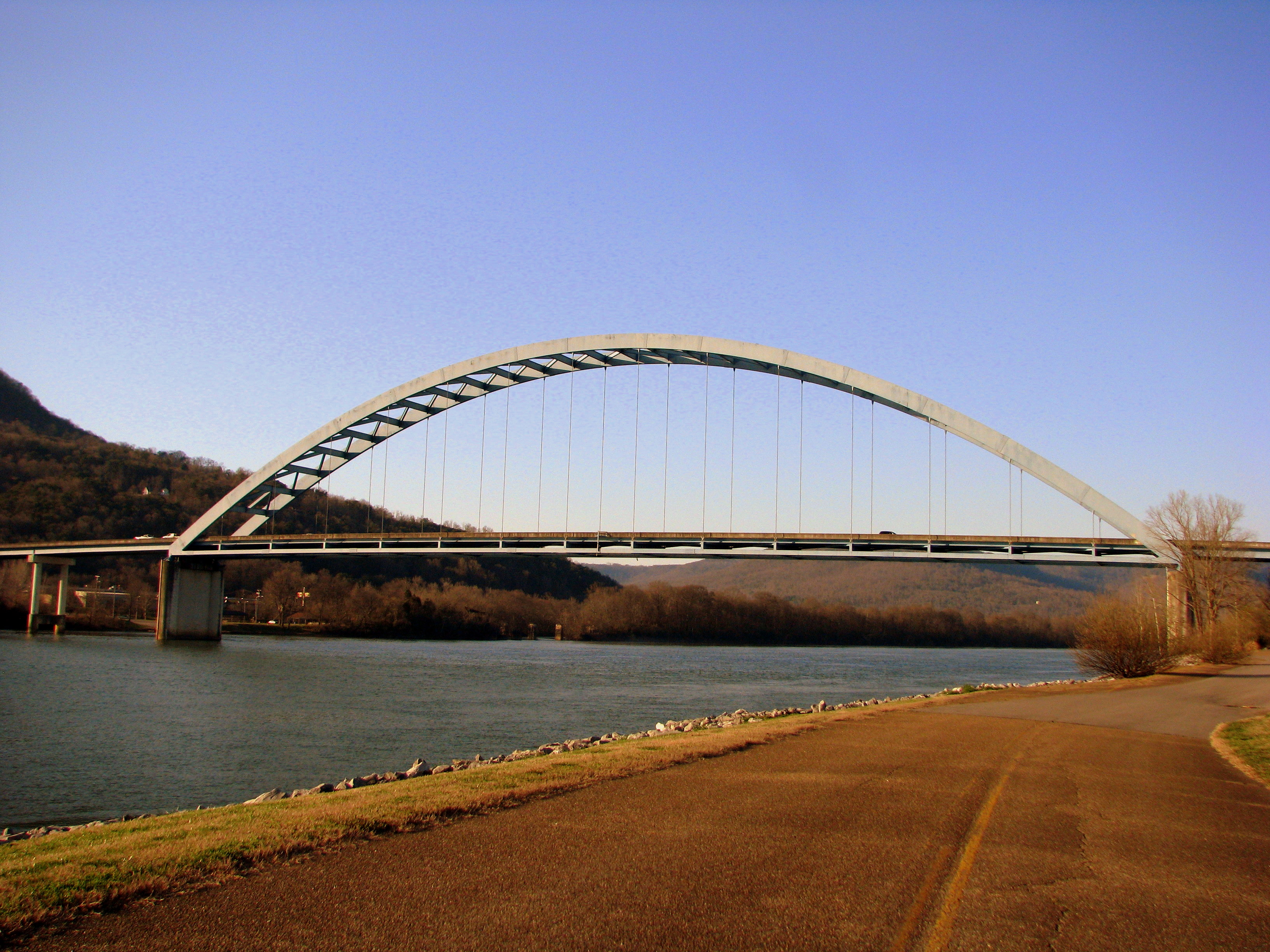
Shelby Reinhart Bridge 4

Bridgeport, AL Depot full view

Orme Mtn. Road Activities

Bridgeport, AL Depot b/w trackside view

Raymond H. Cooley

Sergeant Ramond H. Cooley
Battery Hill

Sergeant Raymond H. Cooley

View from the hotel window

V163 Bridgeport Alabama

Rolled Grass

Martin Springs

Martin Springs

Martin Springs
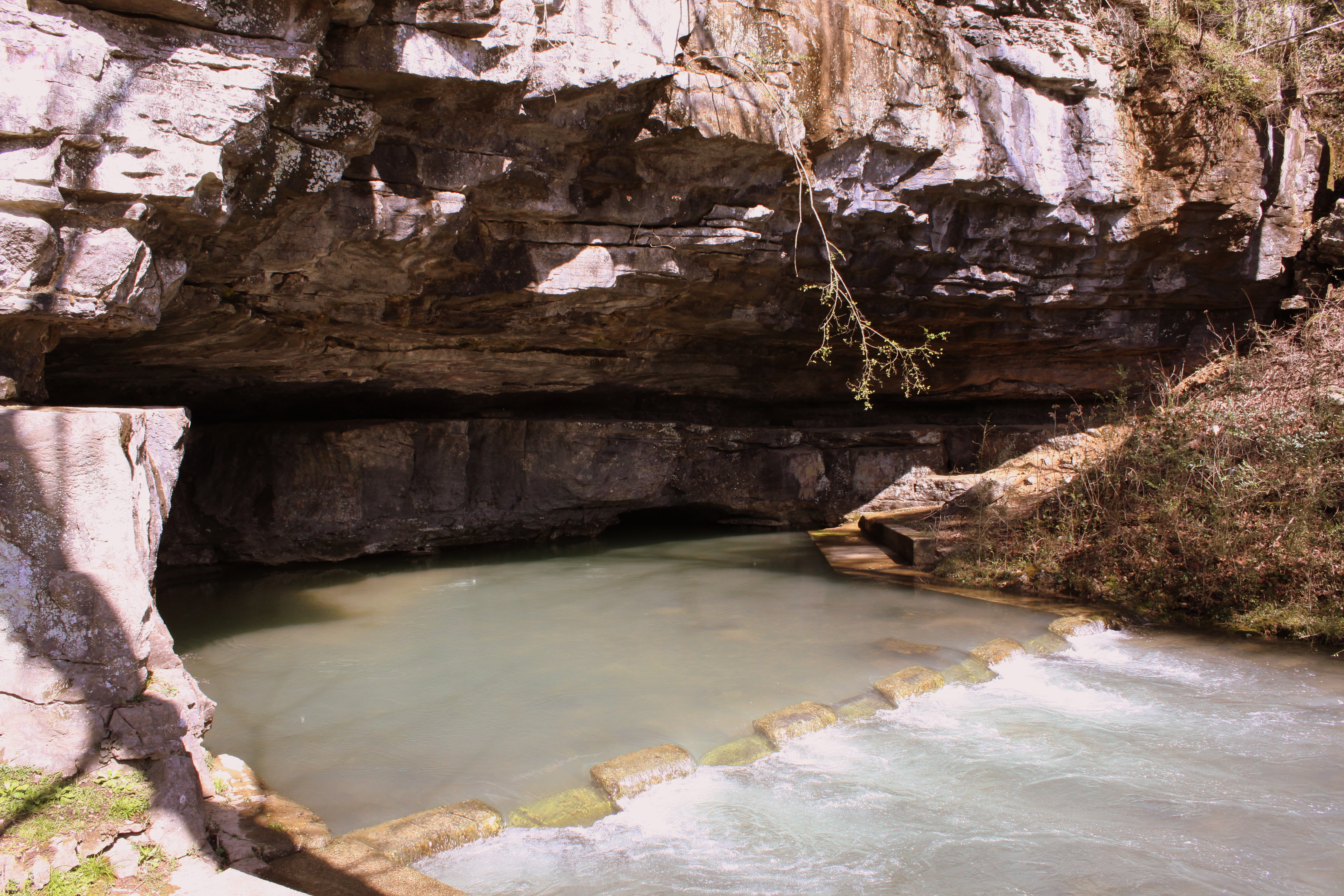
Martin Springs

Tom Pack Falls, Tom Pack Creek, Tom Pack Hollow, Franklin-Marion State Forest, Franklin County, Tennessee 1

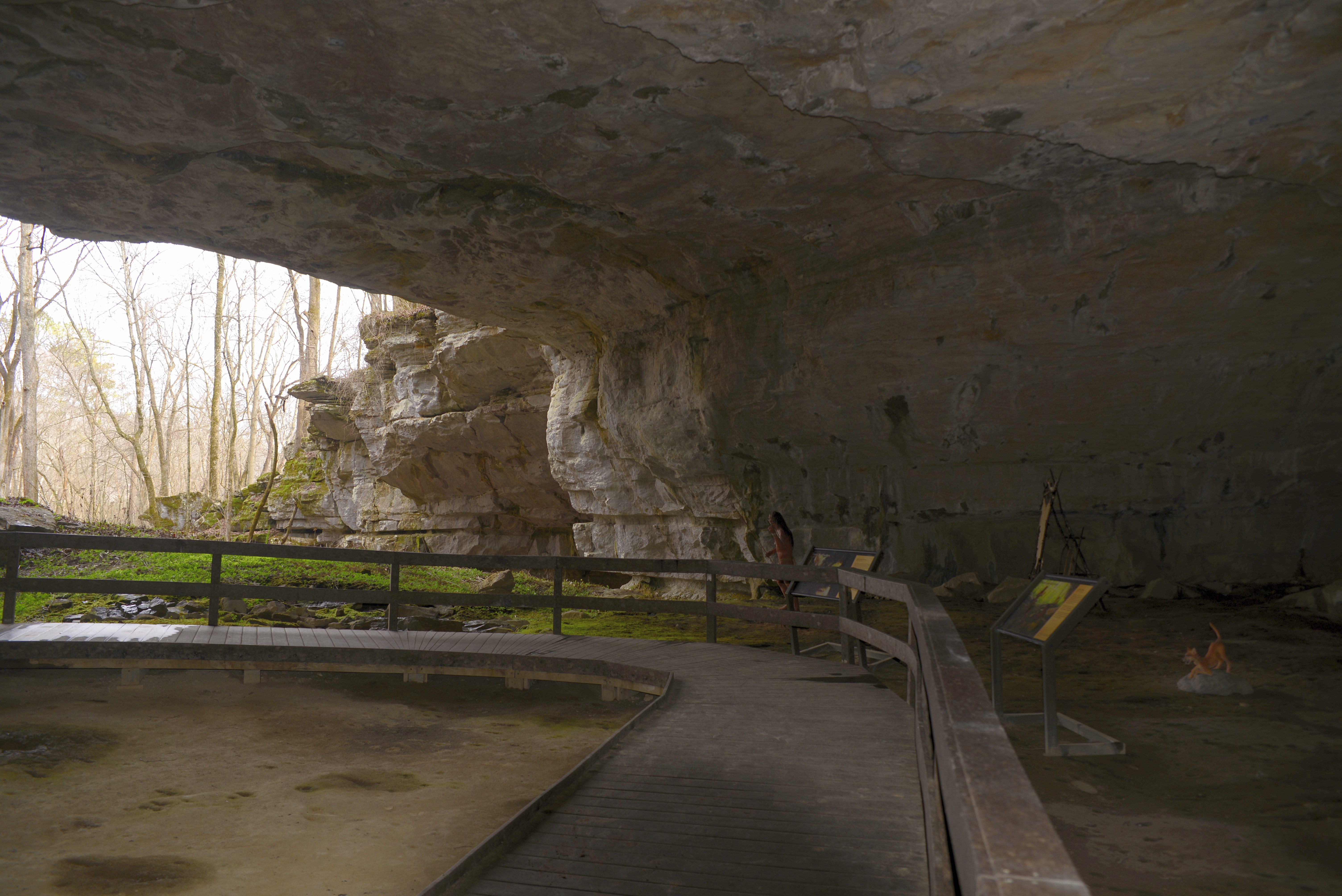
Lost Cove (Buggytop Overlook)

Everything's closed on Main Street

Lost Cove Creek

Traveling US 72 to South Pittsburg, TN

Pat's SUmmit

Landscape stair walkway

Pat's Summit

Lost Cove Cascades - May 4, 2014
Morning sun

Looking away from entrance of shelter
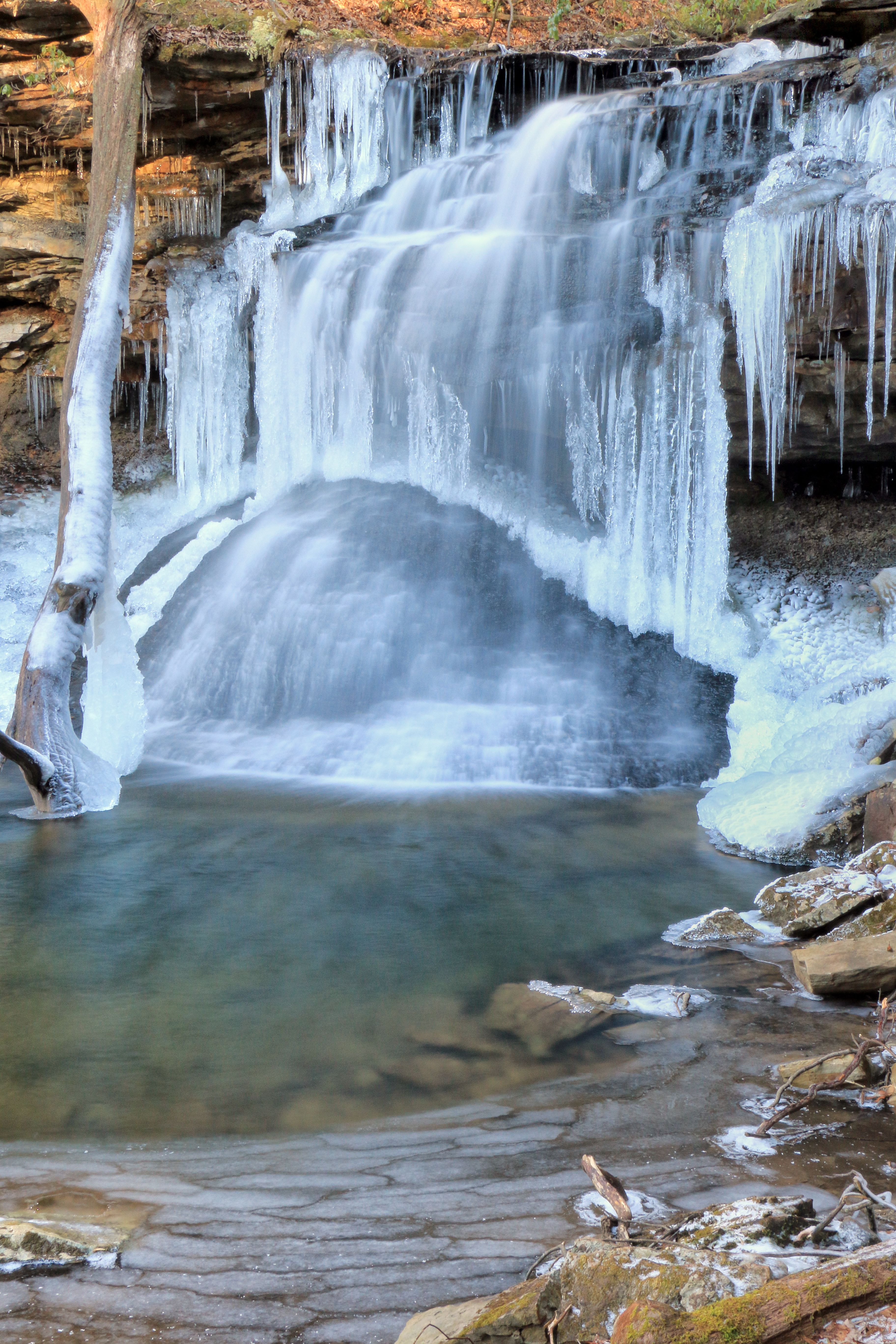
Tom Pack Falls, Tom Pack Creek, Tom Pack Hollow, Franklin-Marion State Forest, Franklin County, Tennessee 2

Alabama!

Stream running into Russell Cave, Alabama

Lost Cove Cascades out of Buggy Top Cave - May 4, 2014
Topographic Map of Bolton Point Rd, South Pittsburg, TN, USA
Find elevation by address:

Places near Bolton Point Rd, South Pittsburg, TN, USA:
245 Frank Bolton Rd
9380 S Pittsburg Mountain Rd
570 Payne Cove Dr
Brown Trace Road
Co Rd 98, Bridgeport, AL, USA
362 Haynes Rd
AL-, Stevenson, AL, USA
Stevenson, AL, USA
Old Mt Carmel Rd, Stevenson, AL, USA
Co Rd, Stevenson, AL, USA
80 Bank St
Stevenson
AL-, Stevenson, AL, USA
Co Rd, Stevenson, AL, USA
Co Rd, Stevenson, AL, USA
Skyline Wildlife Management Area
Keith Cove Road
Co Rd 81, Flat Rock, AL, USA
Mill Creek Loop Trail
29 Co Rd 45, Fackler, AL, USA
Recent Searches:
- Elevation of Corso Fratelli Cairoli, 35, Macerata MC, Italy
- Elevation of Tallevast Rd, Sarasota, FL, USA
- Elevation of 4th St E, Sonoma, CA, USA
- Elevation of Black Hollow Rd, Pennsdale, PA, USA
- Elevation of Oakland Ave, Williamsport, PA, USA
- Elevation of Pedrógão Grande, Portugal
- Elevation of Klee Dr, Martinsburg, WV, USA
- Elevation of Via Roma, Pieranica CR, Italy
- Elevation of Tavkvetili Mountain, Georgia
- Elevation of Hartfords Bluff Cir, Mt Pleasant, SC, USA