Elevation of South Pittsburg, TN, USA
Location: United States > Tennessee > Marion County >
Longitude: -85.704414
Latitude: 35.0123024
Elevation: 196m / 643feet
Barometric Pressure: 99KPa
Elevation Map:
Satellite Map:
Related Photos:
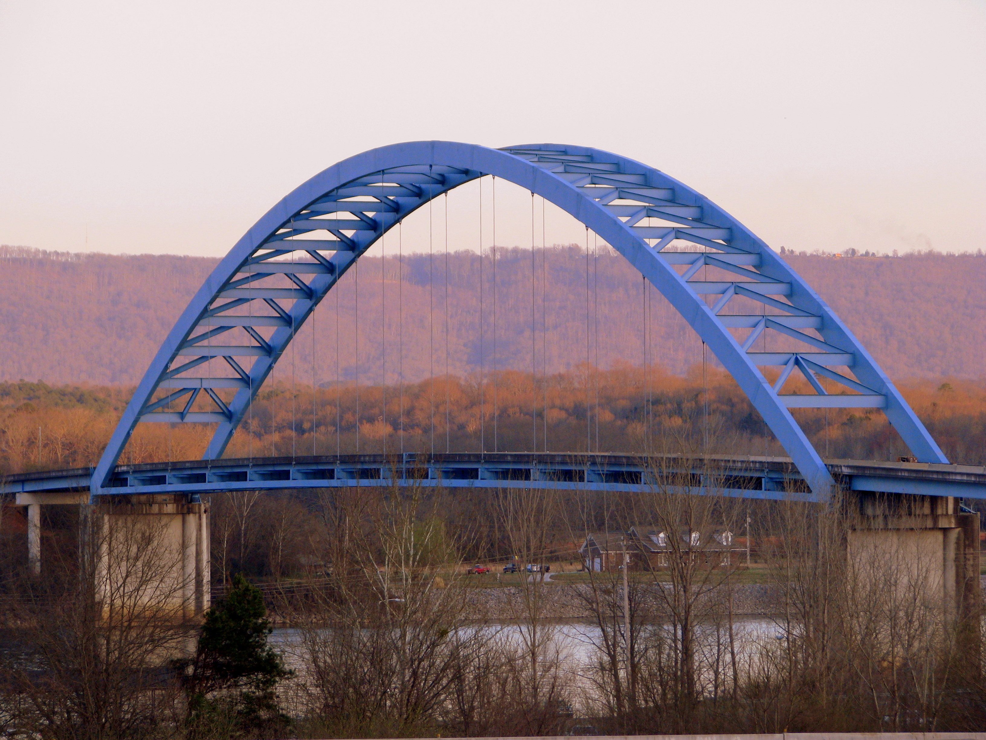
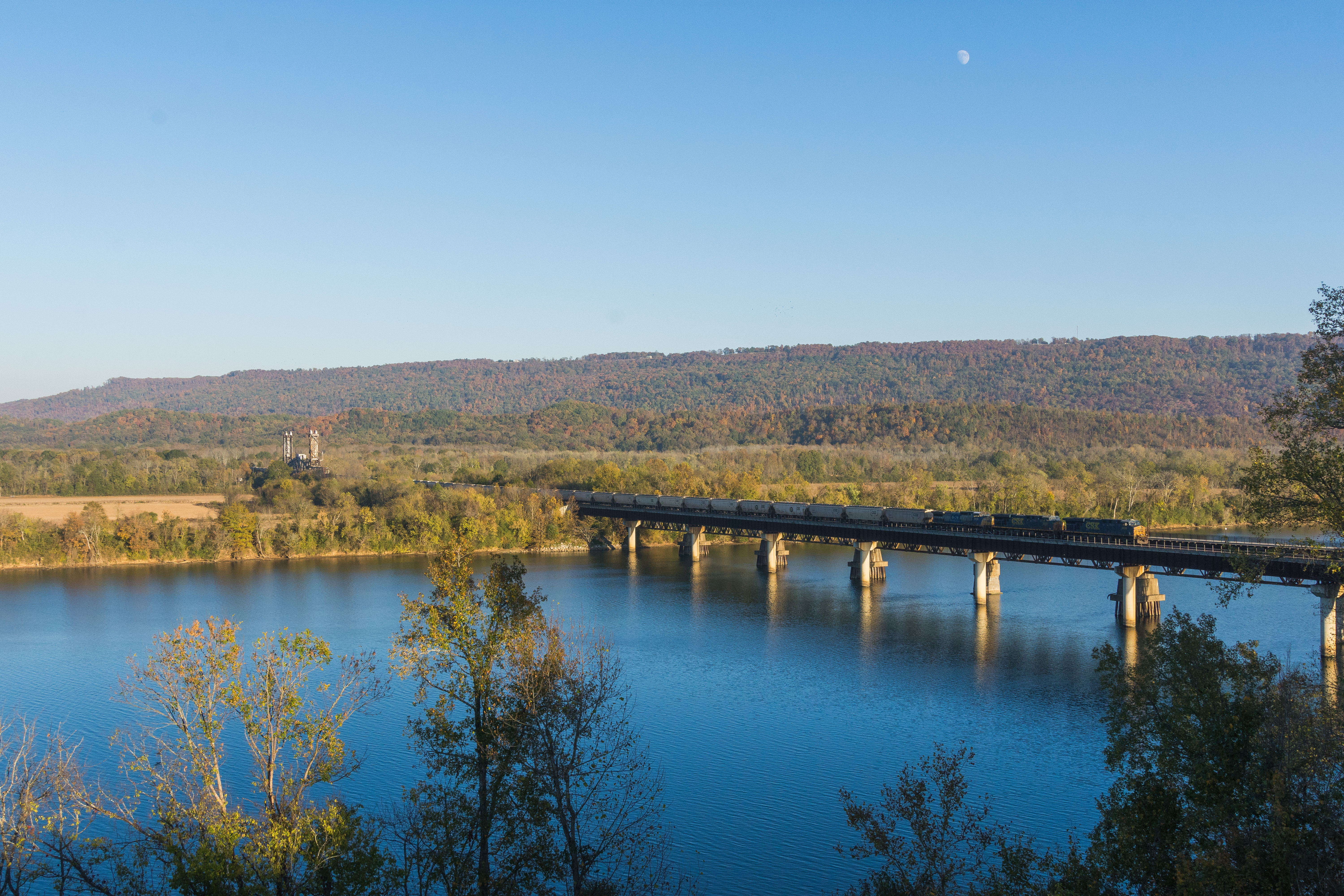
Shelby Reinhart Bridge 2

Goodbye...Tell Your Friends...
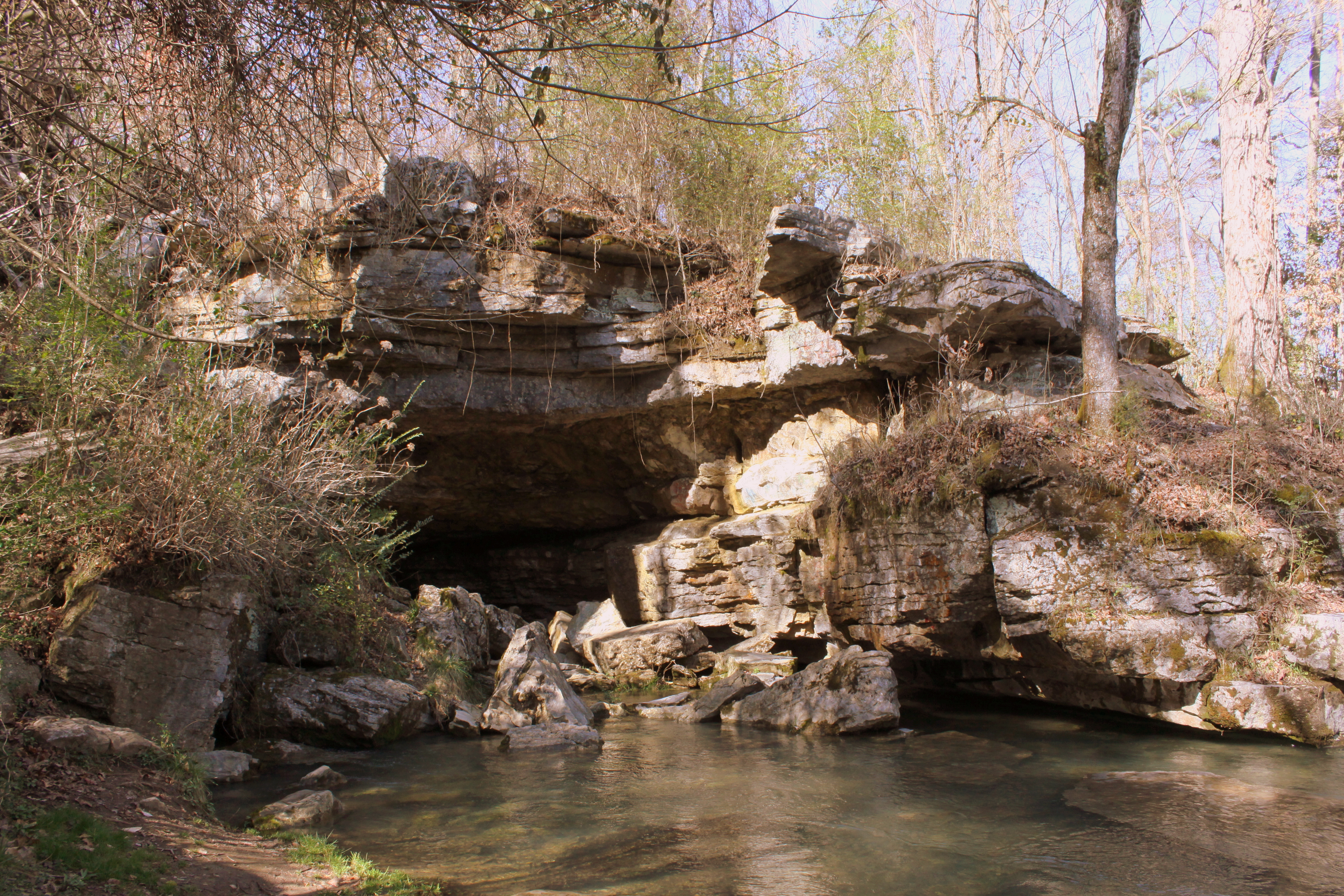
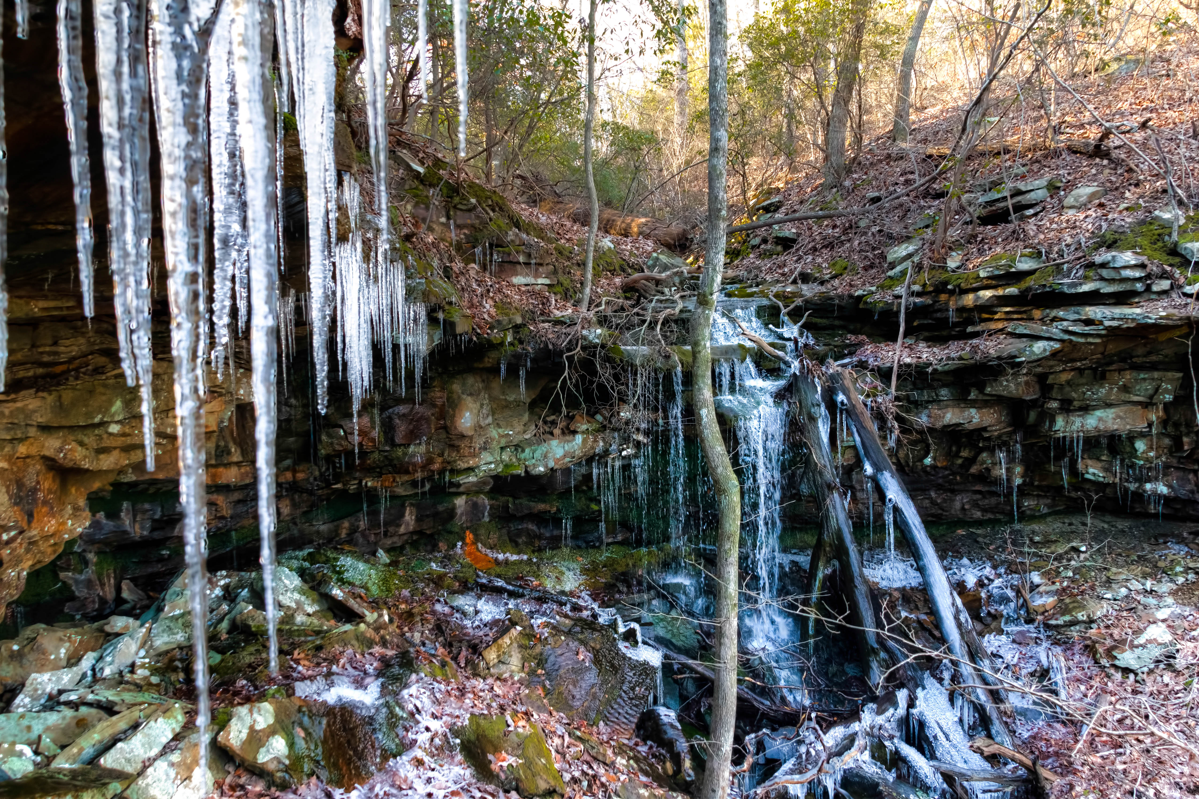
Sequatchie Cave
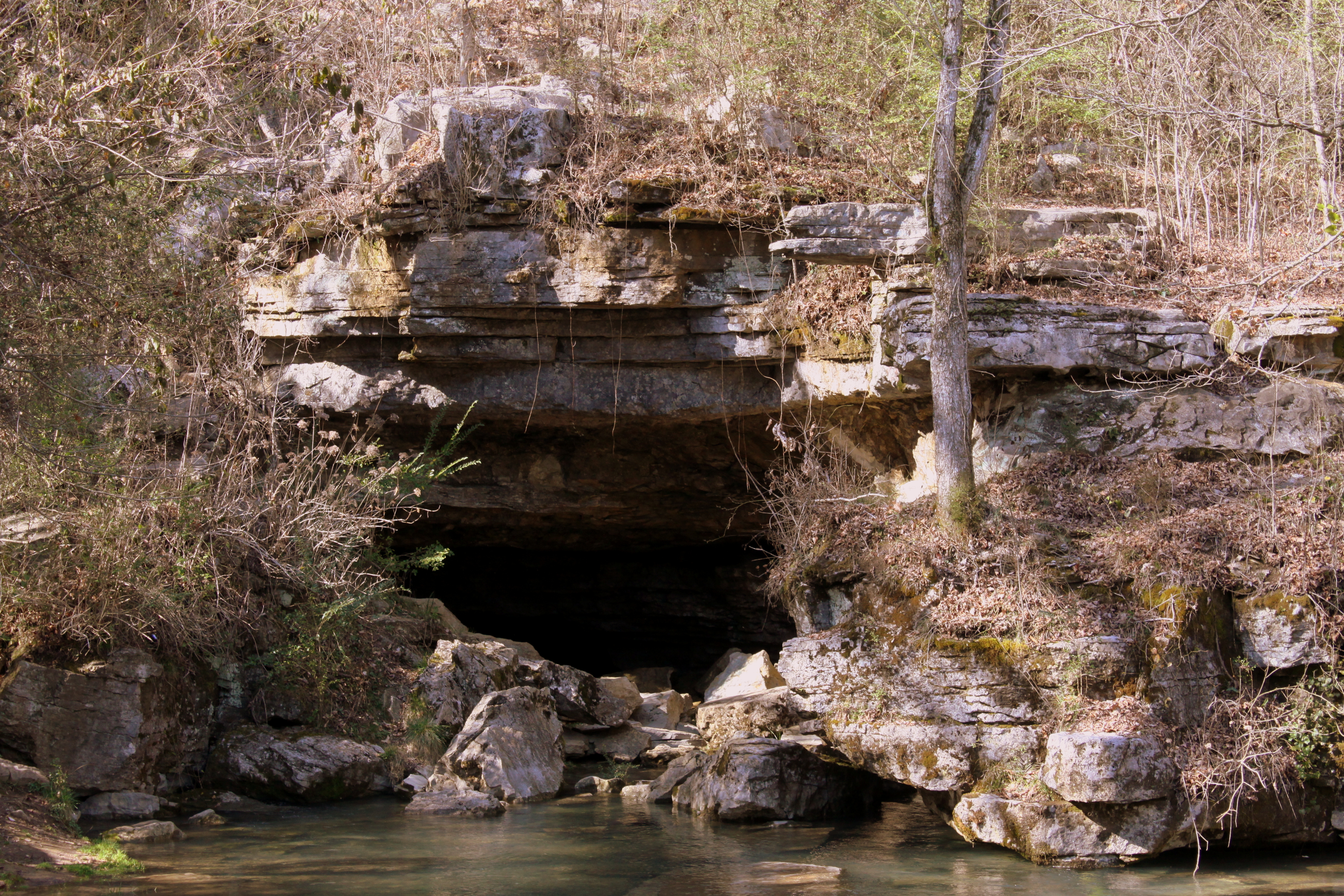
Sequatchie Cave
Marion County, Tennessee - Scenic View at Rest Area
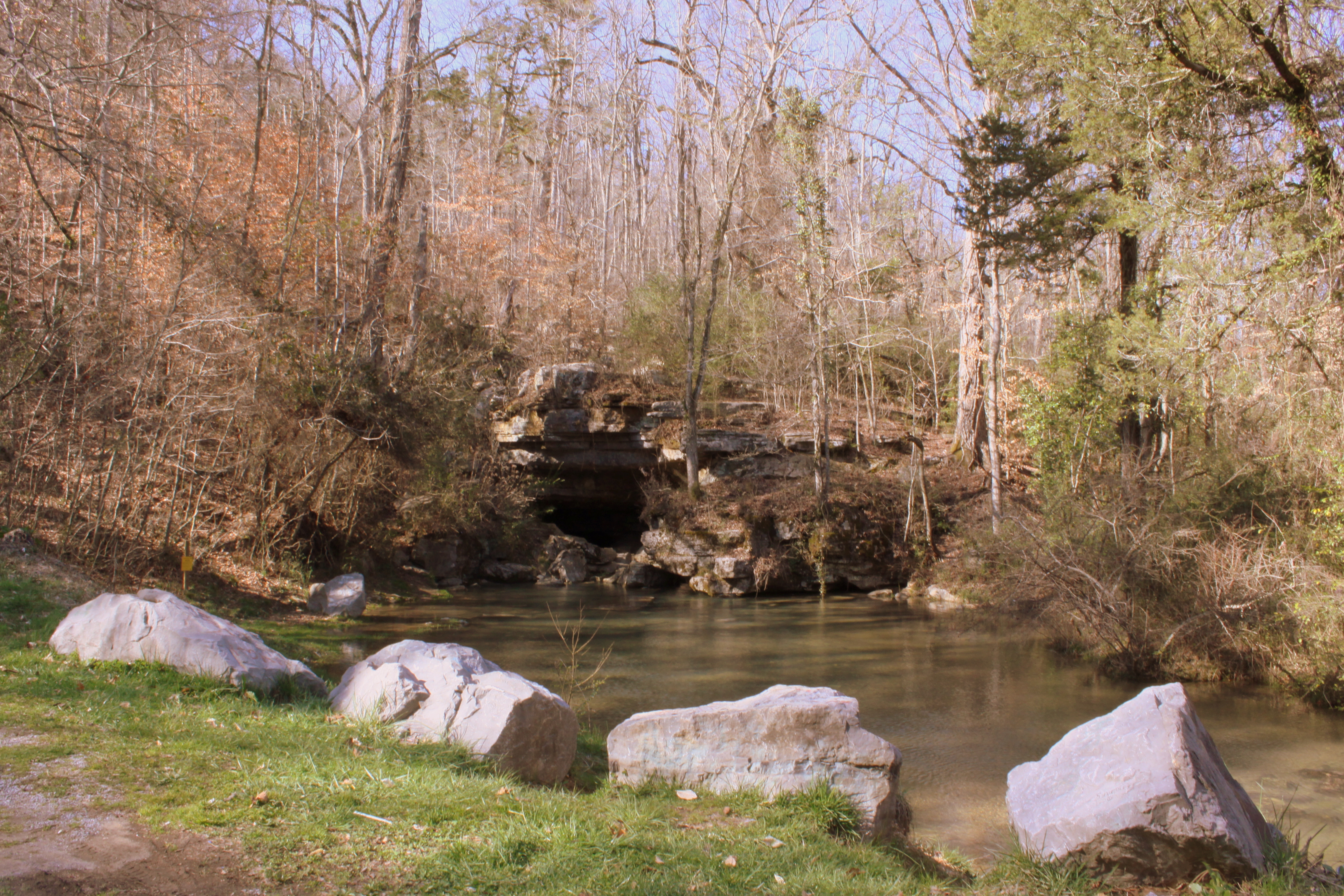
Sequatchie Cave
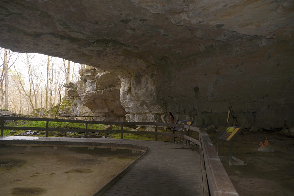
Illuminated view
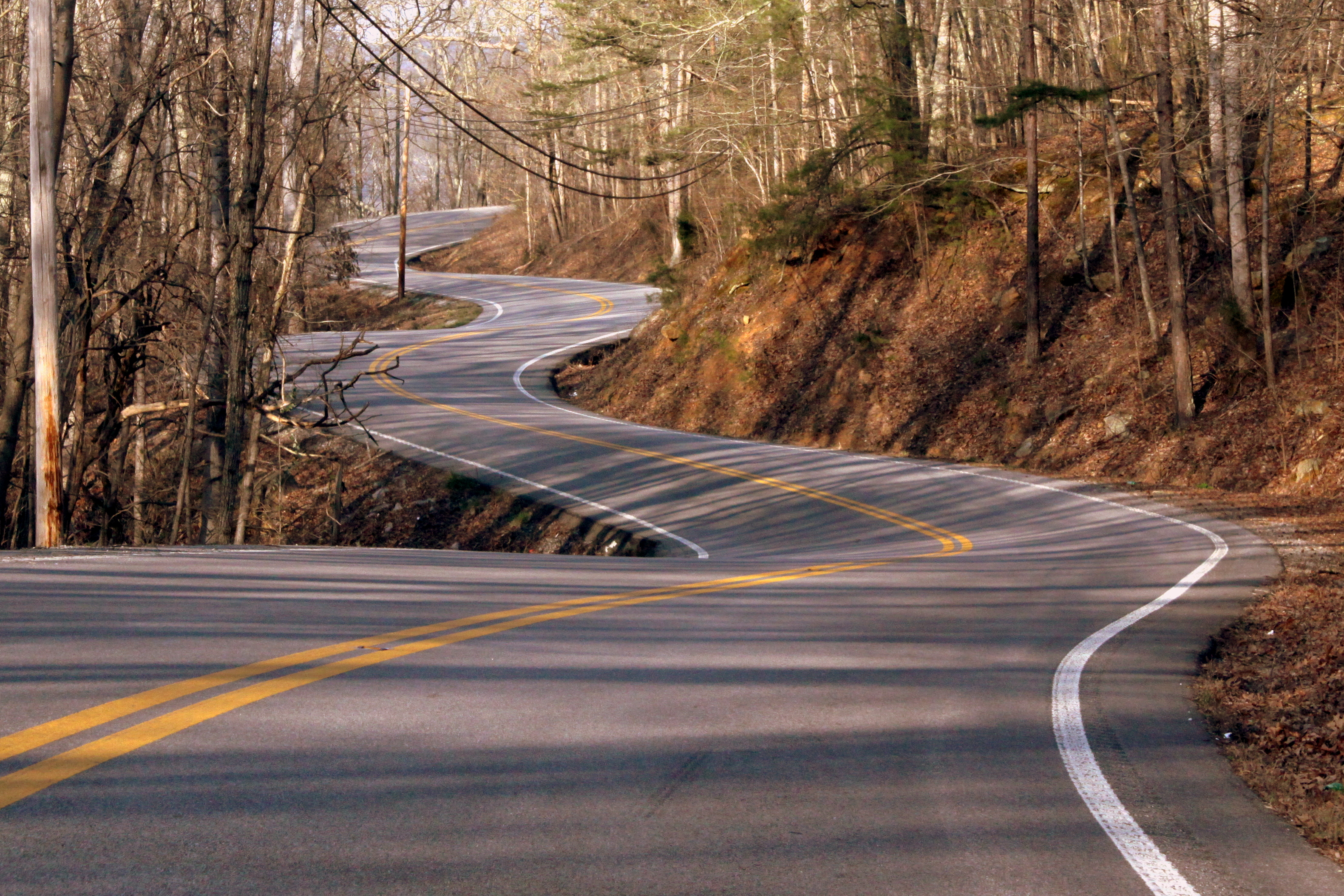
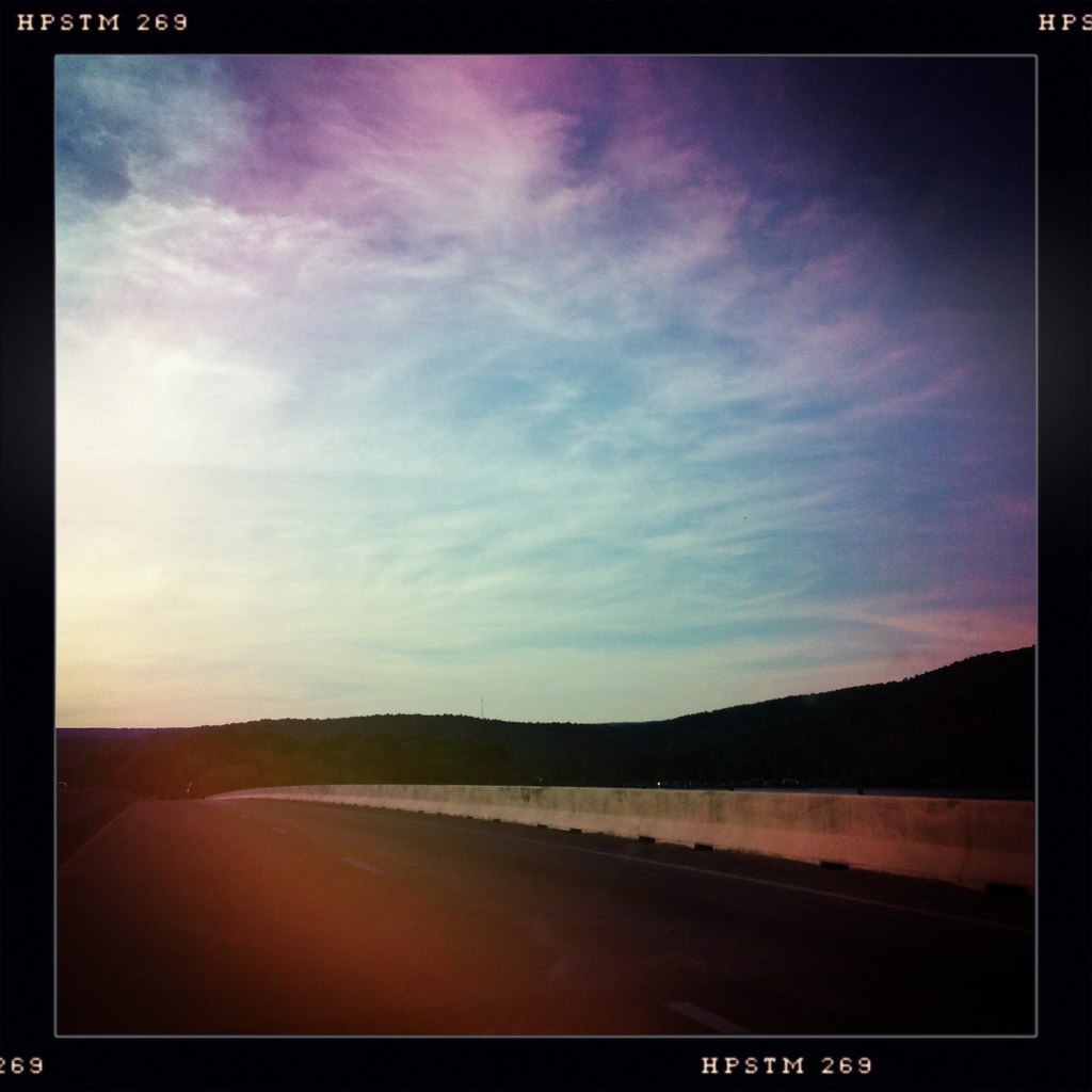
Tennessee Mountain Highway - Marion County
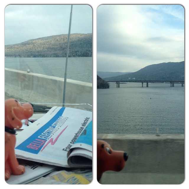
Enjoying a slightly different water view. #CliffordGoesToFlorida
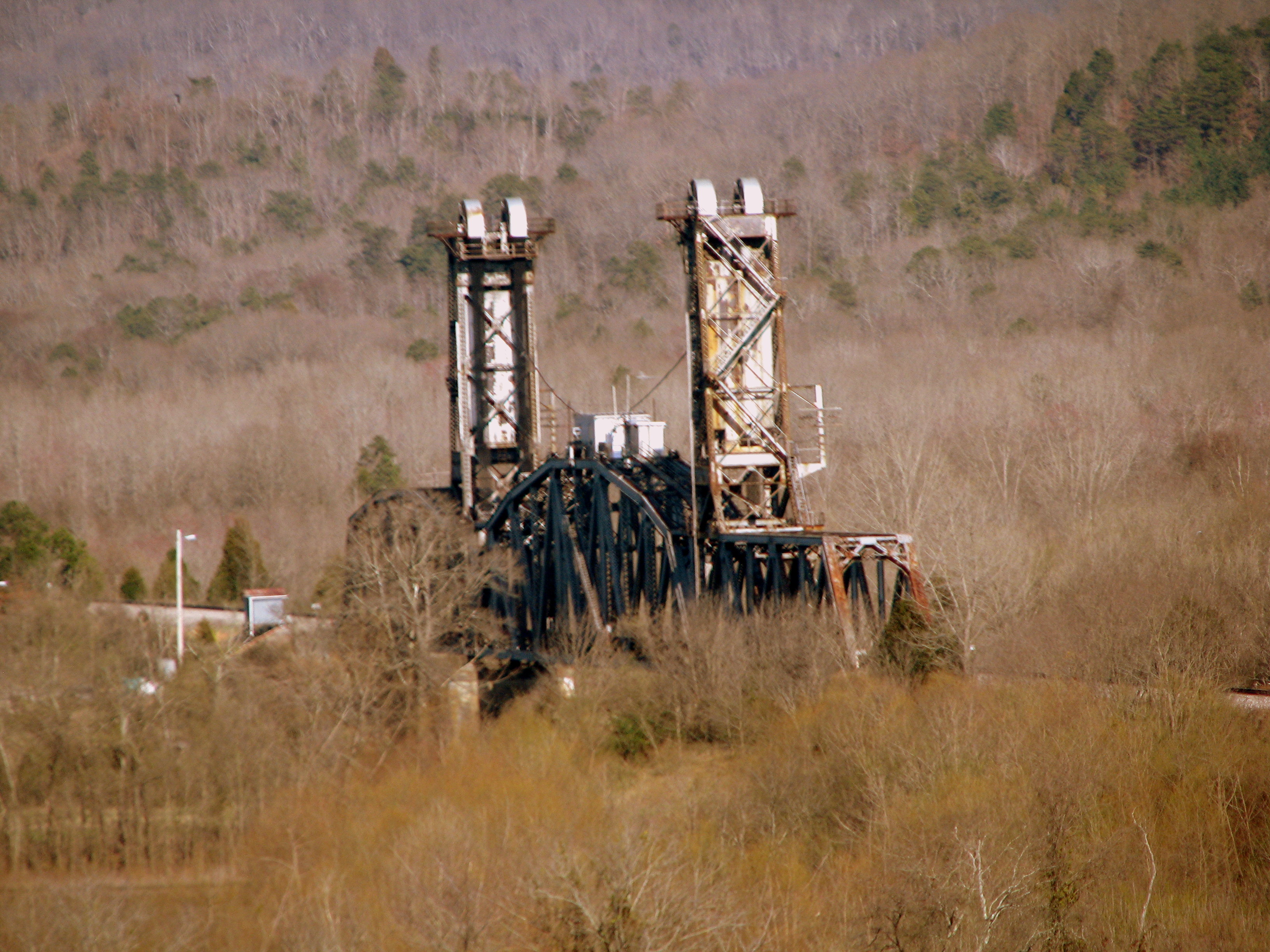
Bridgeport, AL Lift bridge
Shelby Reinhart Bridge 4
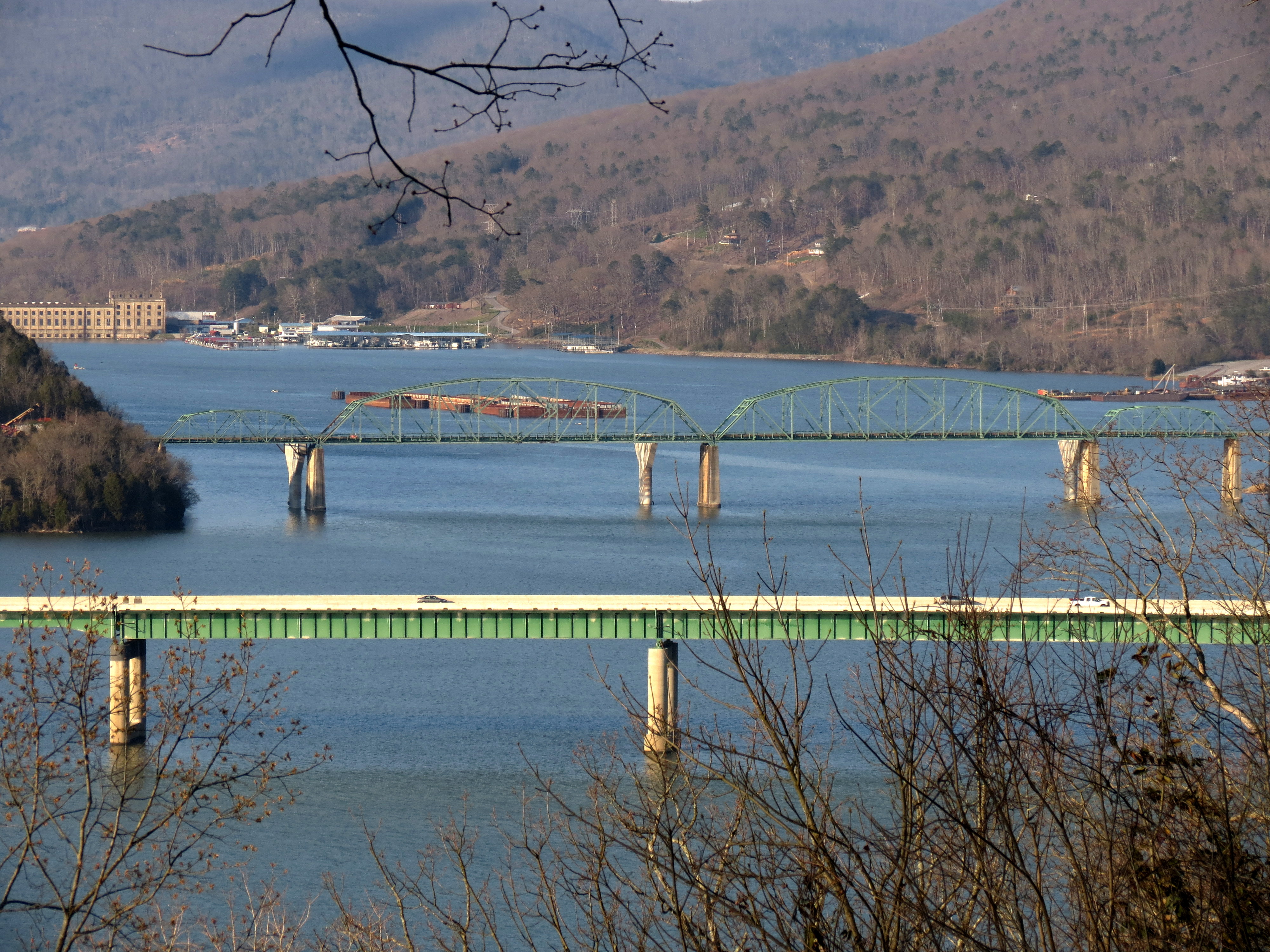
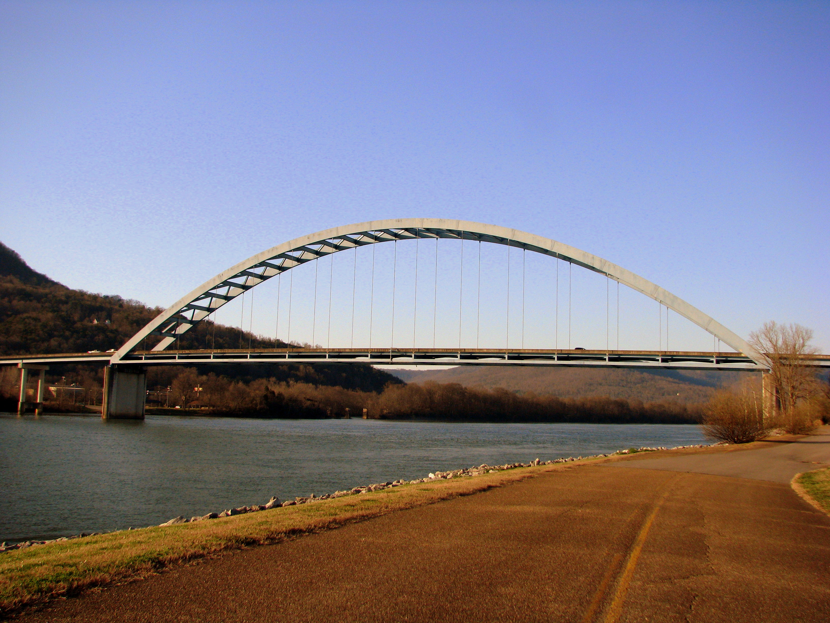
Marion Memorial Bridge & I-24 Bridge over Nickajack Lake

Bottle Rockets
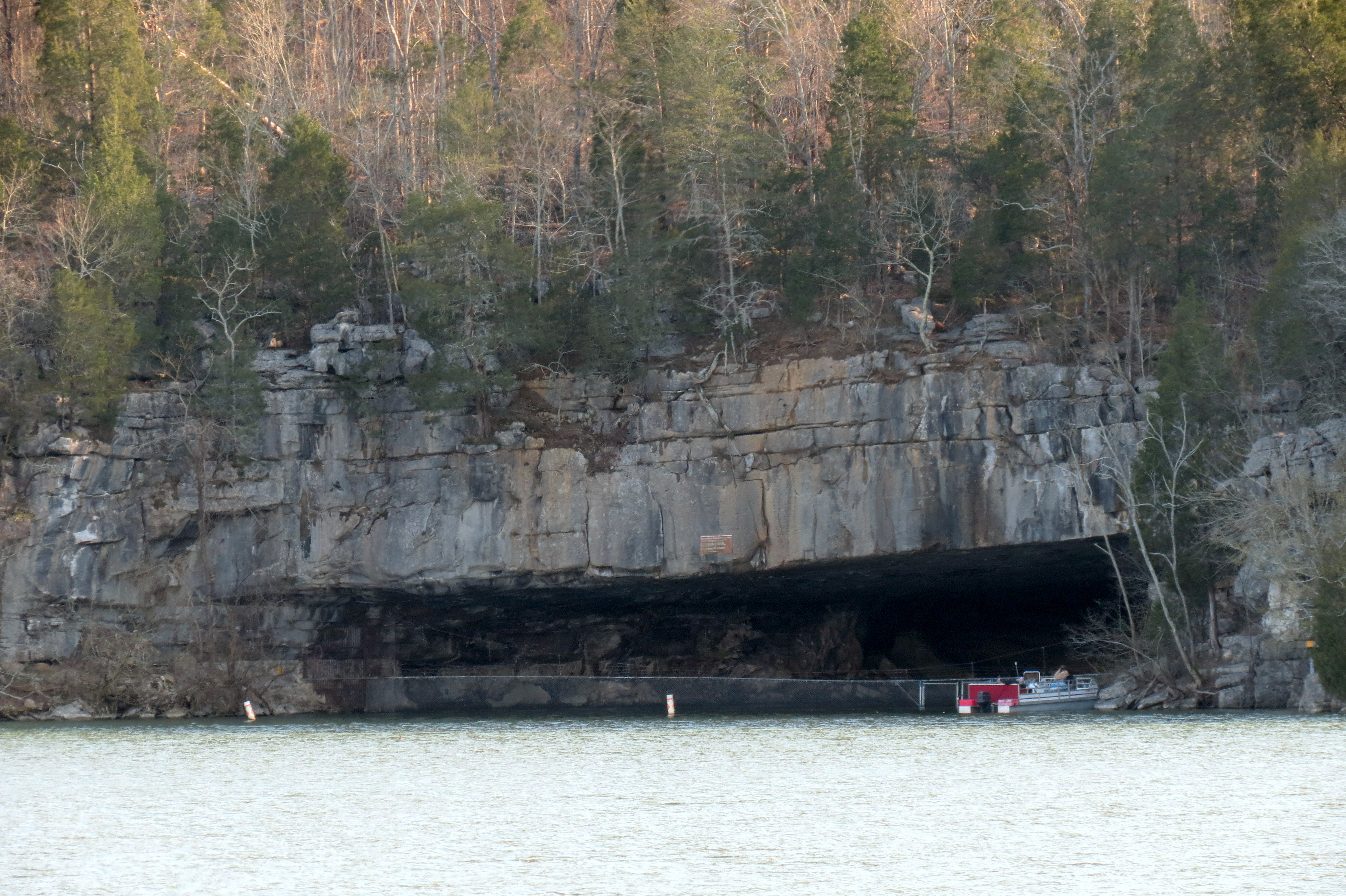
Nickajack Cave Wildlife Refuge (view from Highway TN156)
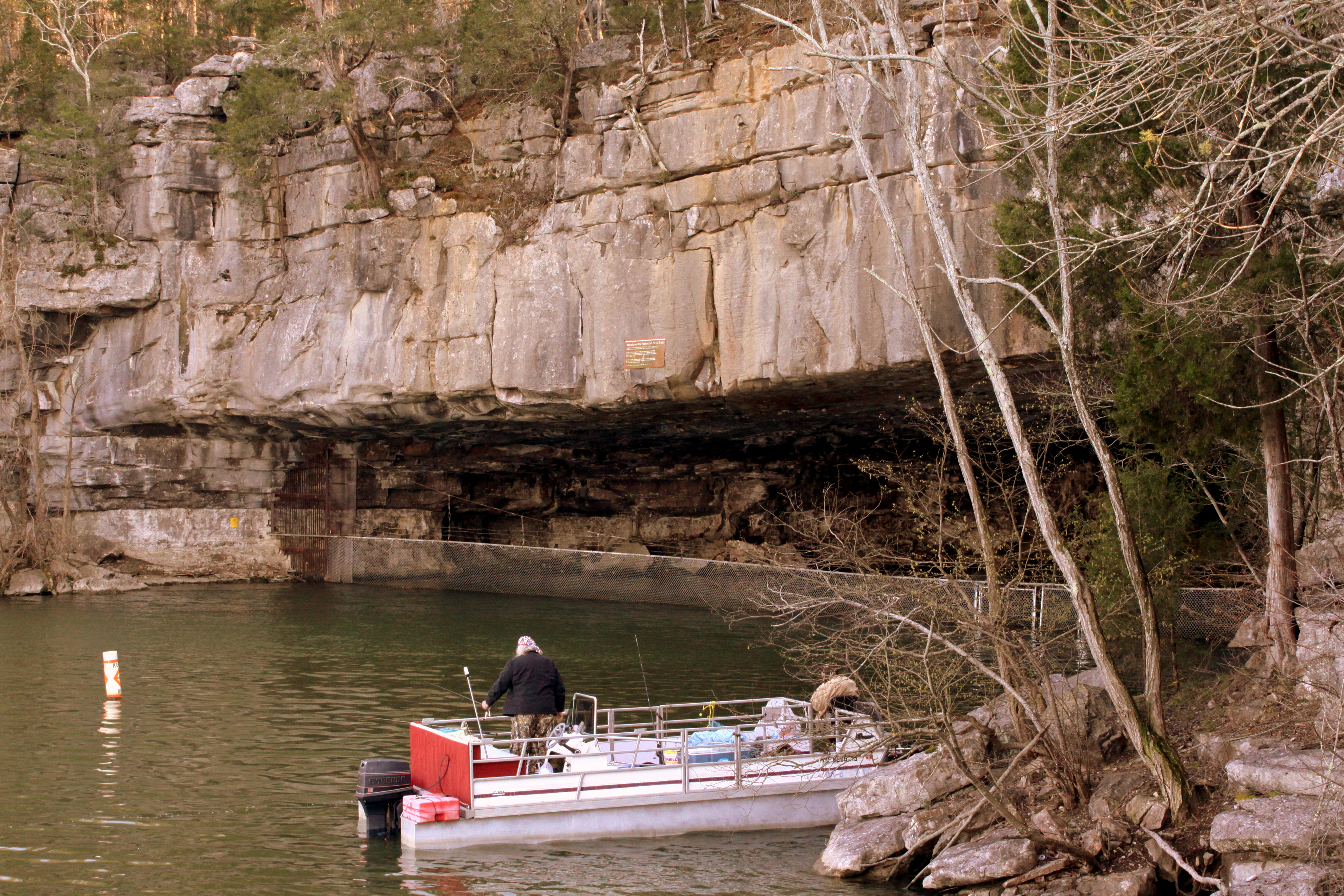
Nickajack Cave Wildlife Refuge
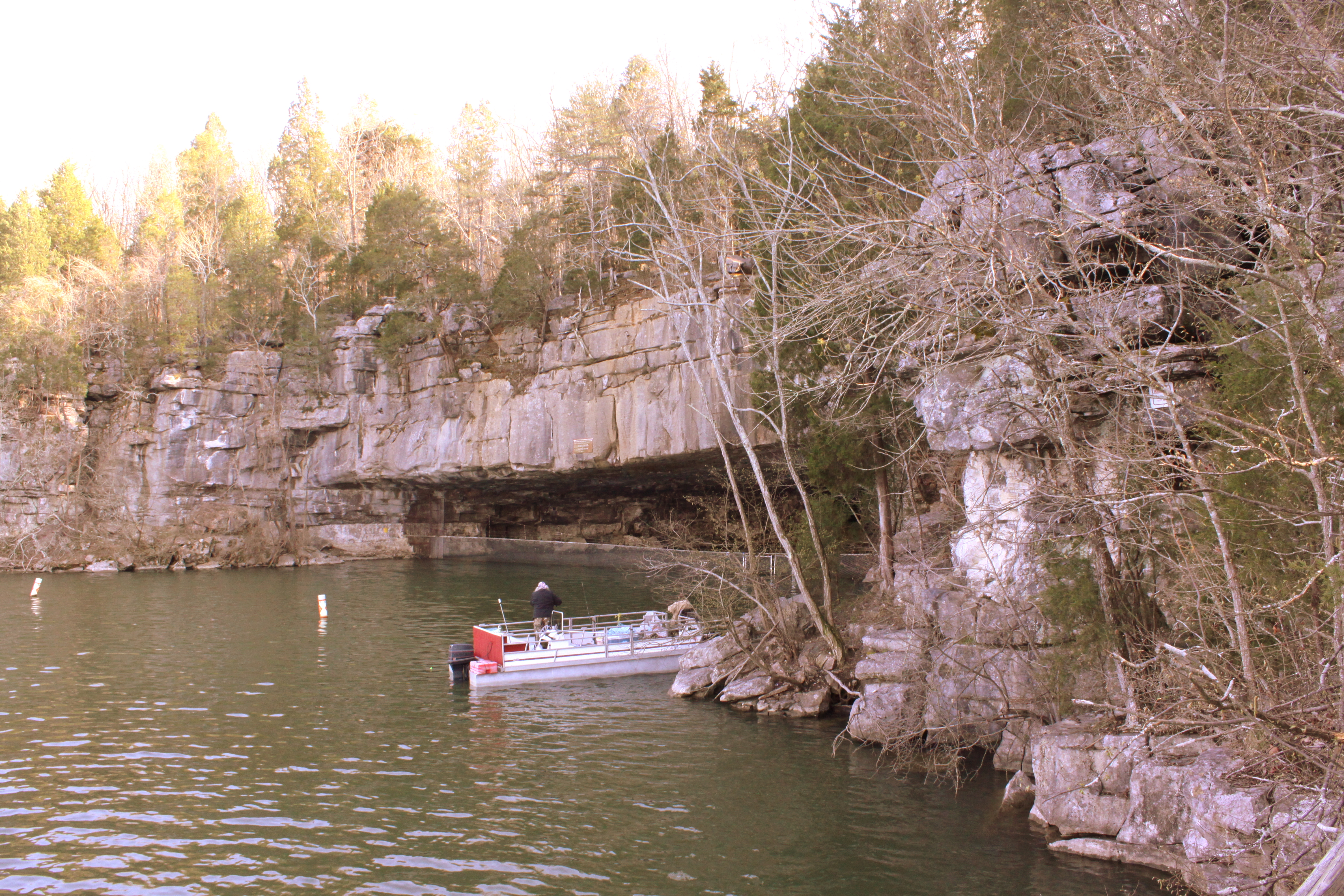
Nickajack Cave Wildlife Refuge
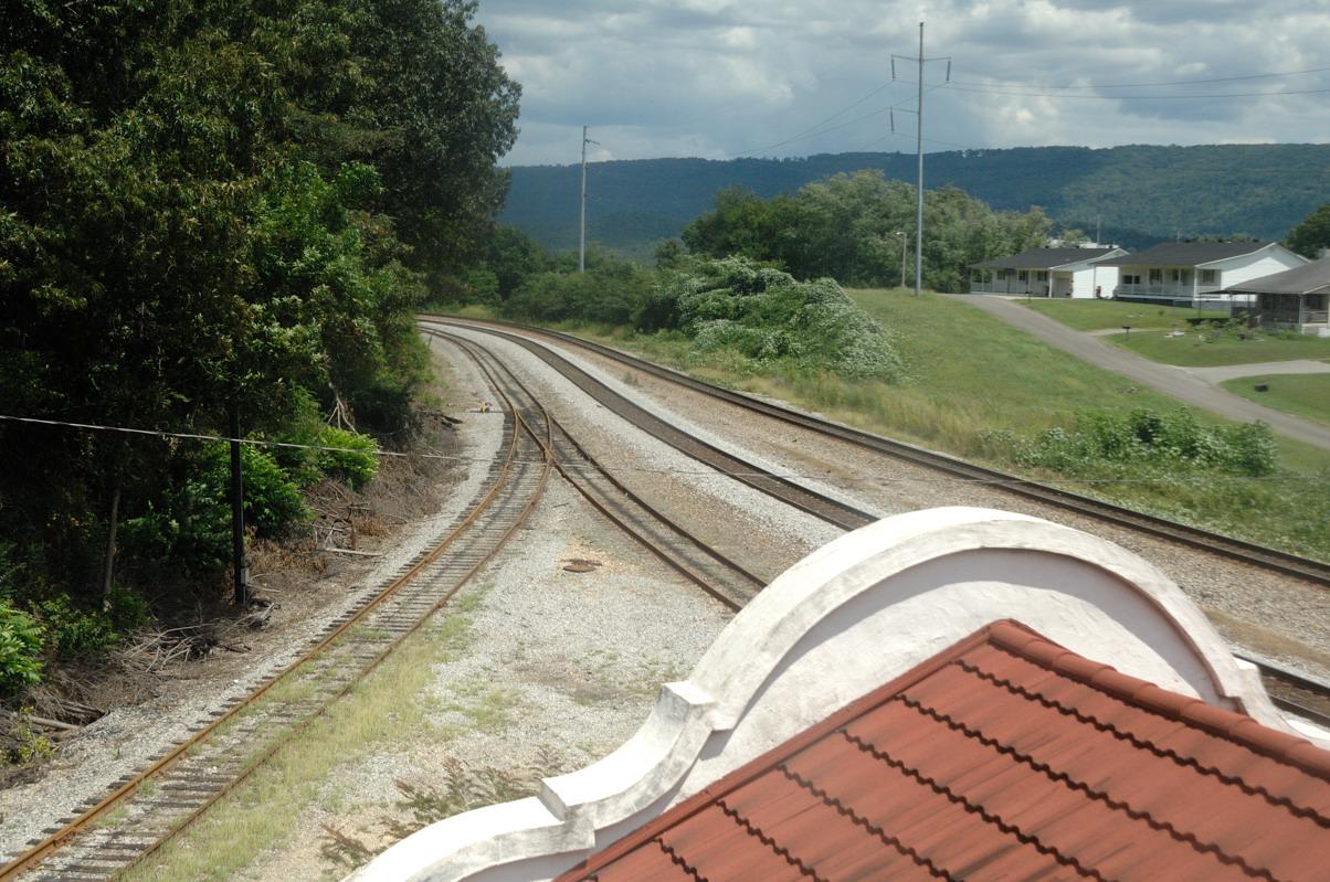
Bridgeport Depot (view from tower)
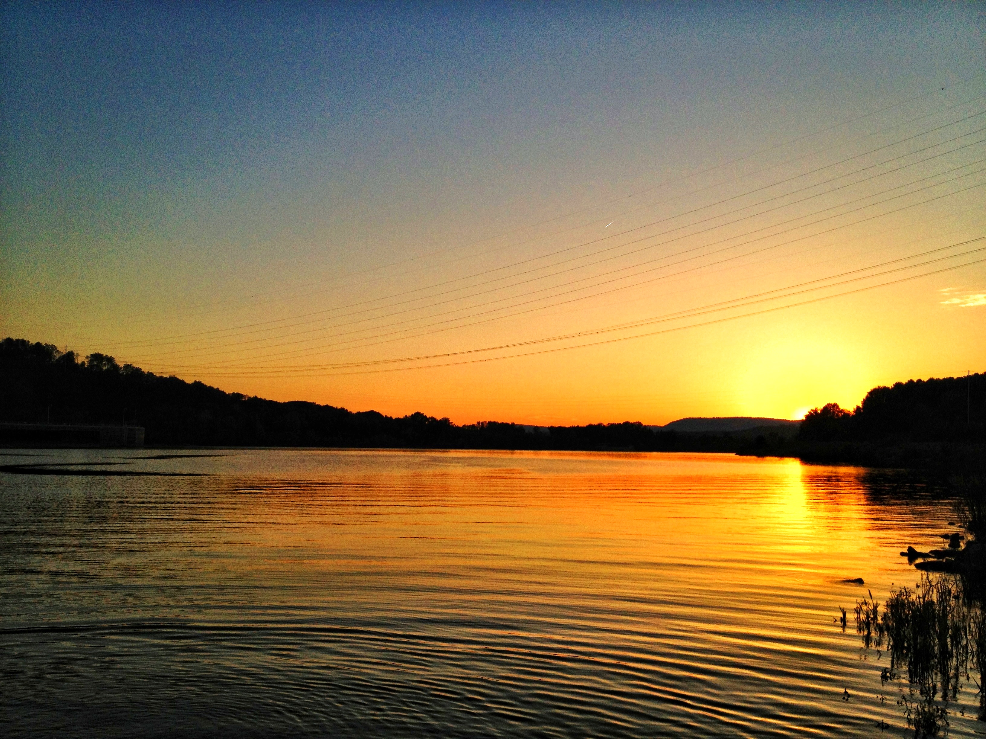
Sunset on Lake Nickajack
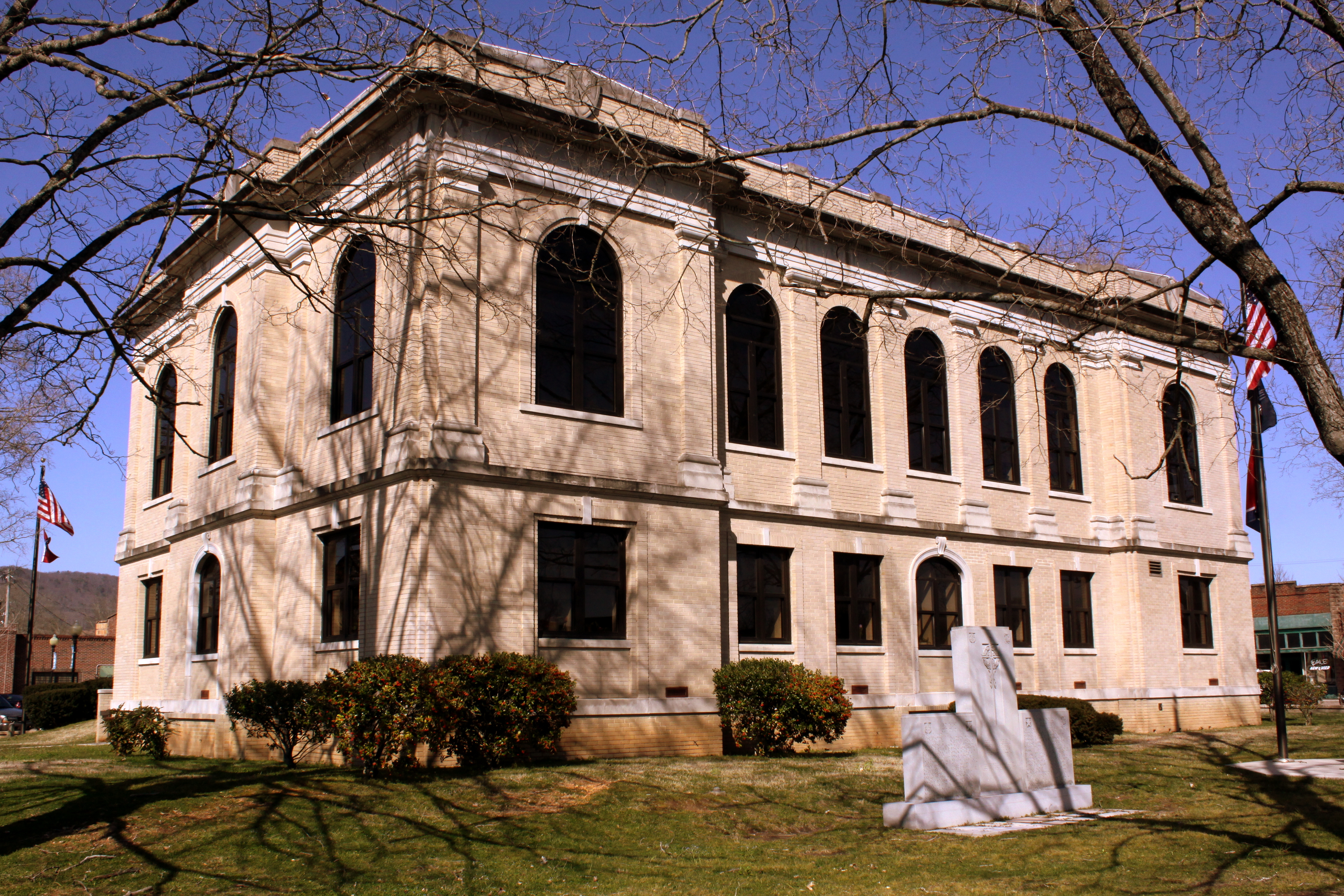
Marion County Courthouse Rear View - Jasper, TN
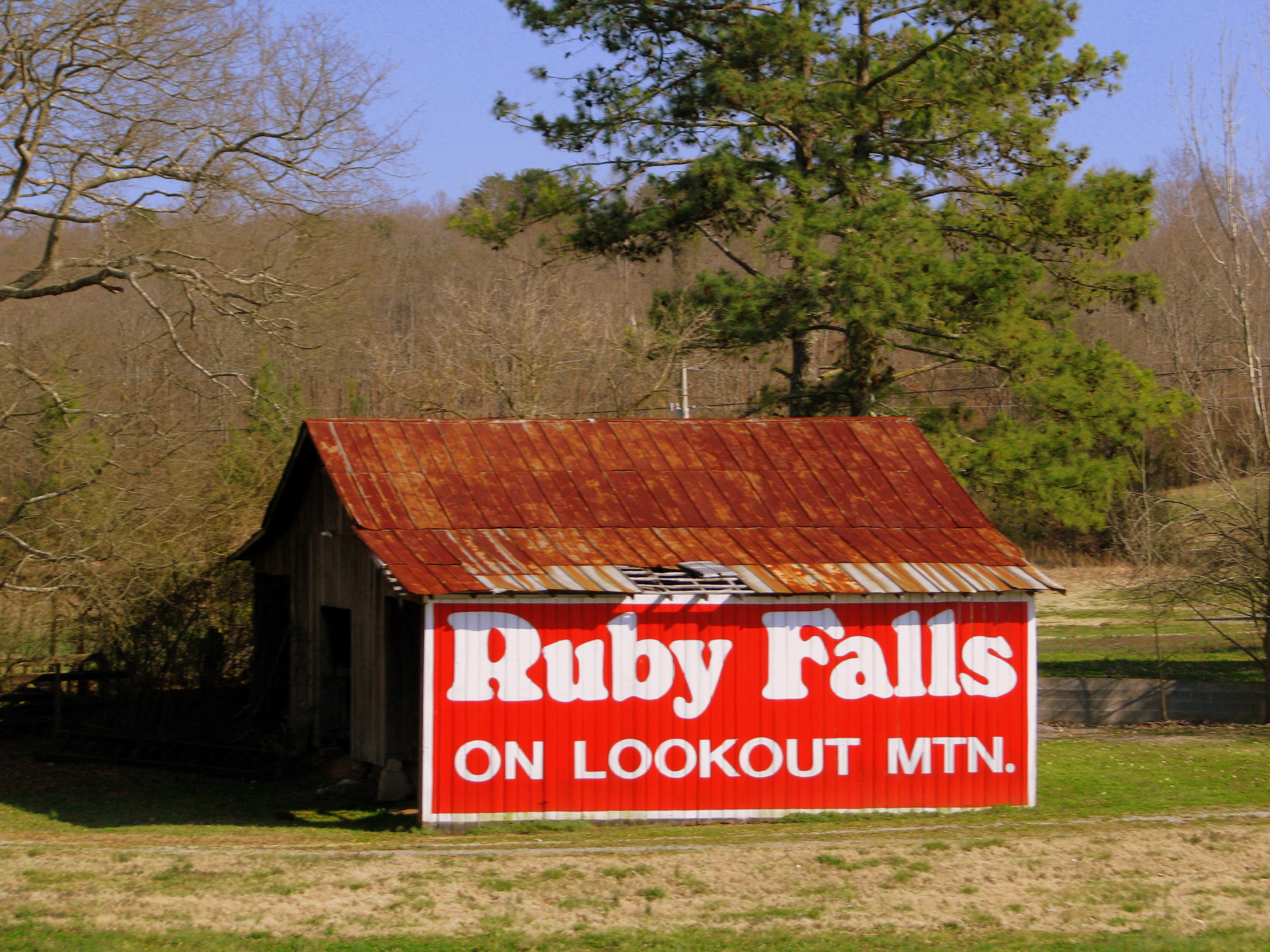
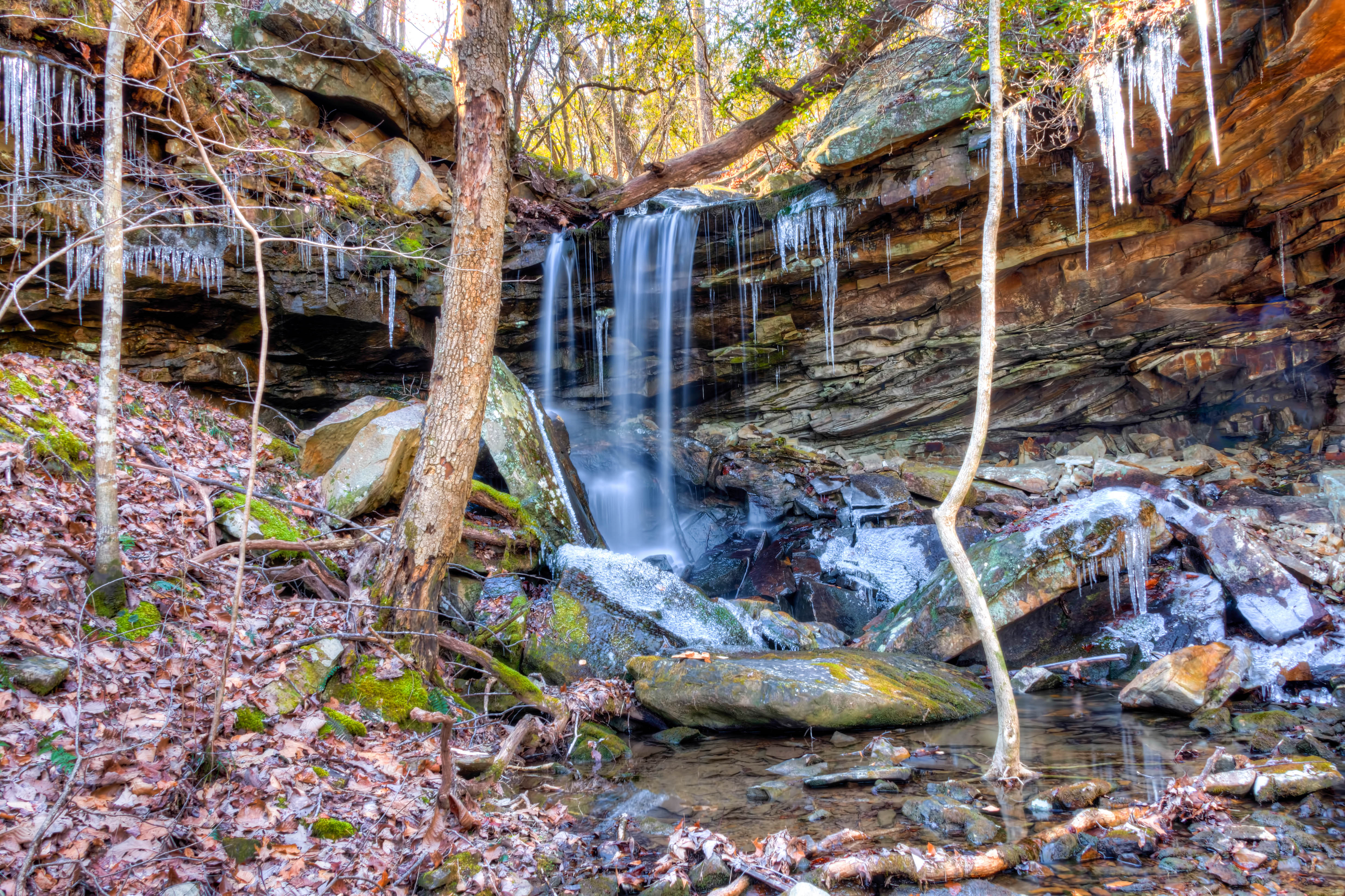
Ruby Falls Barn
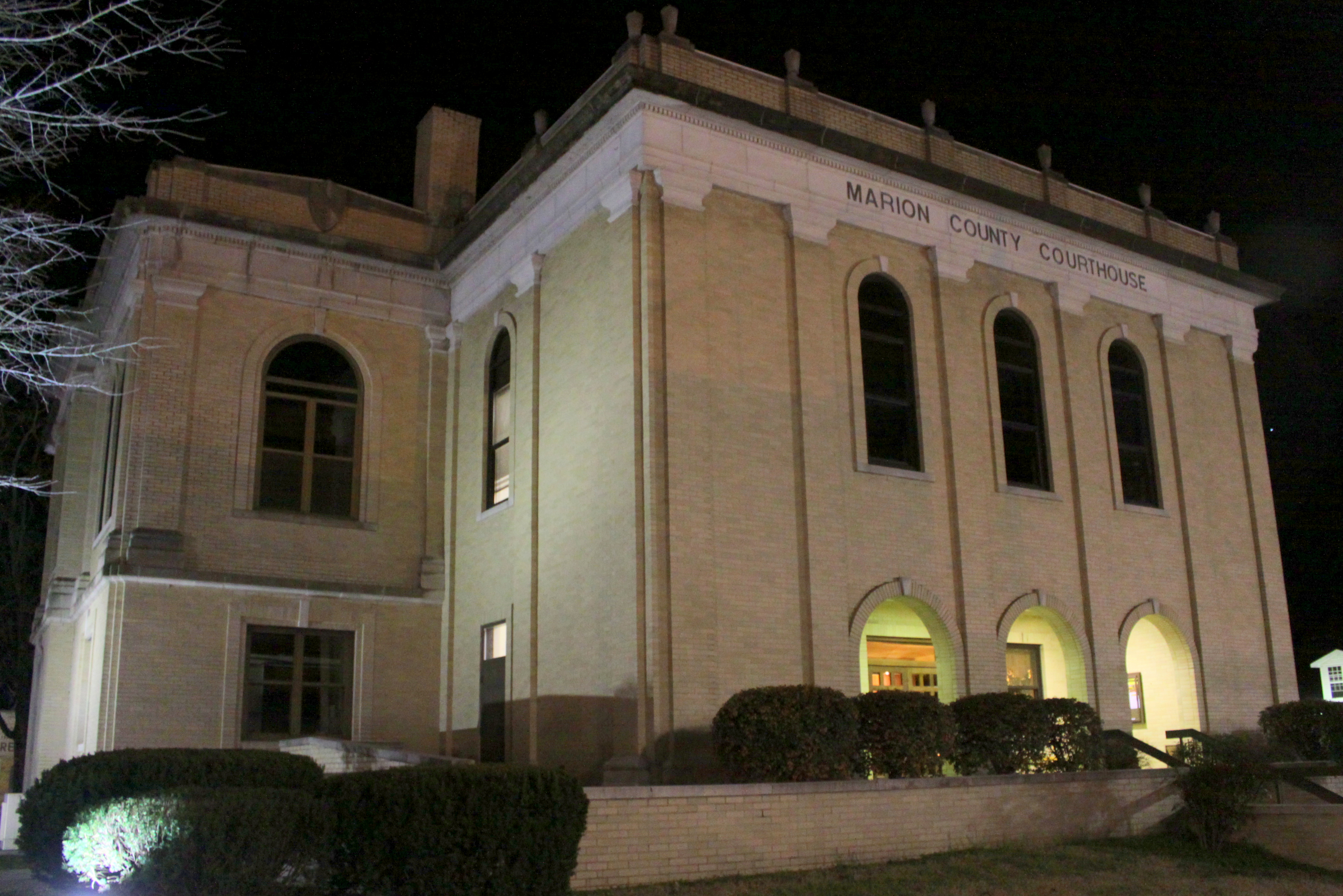
Marion County Courthouse Front Corner View at Night - Jasper, TN
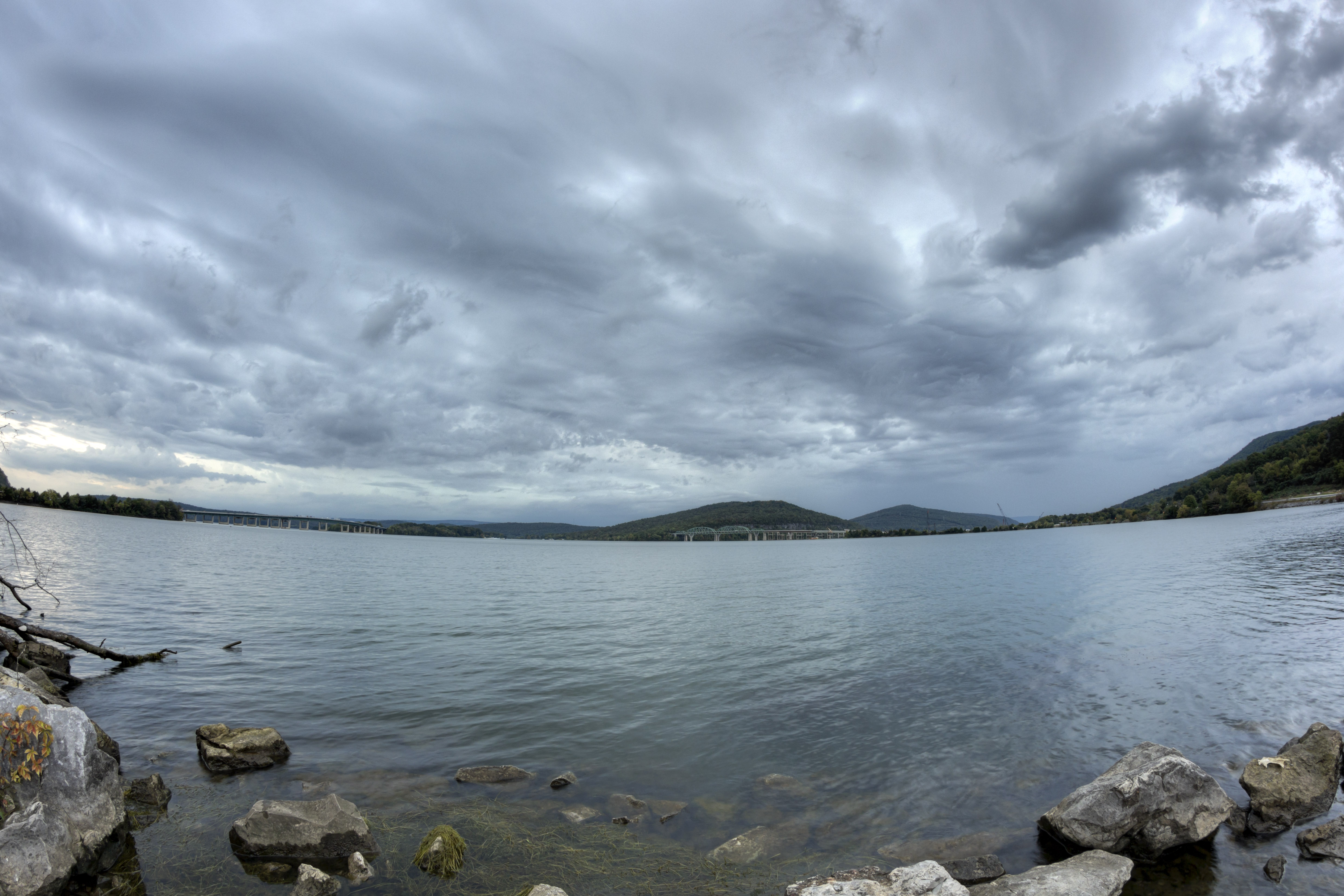
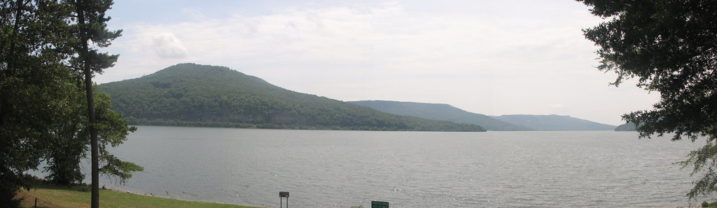
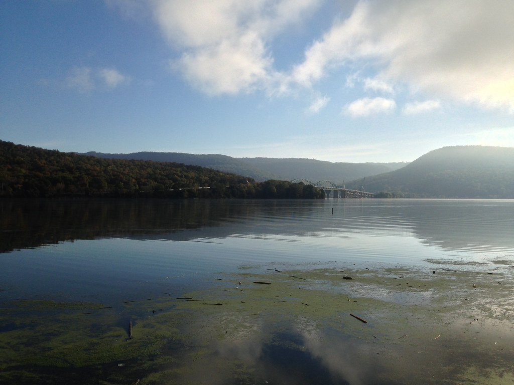
Nickajack Lake, Marion County, Tennessee
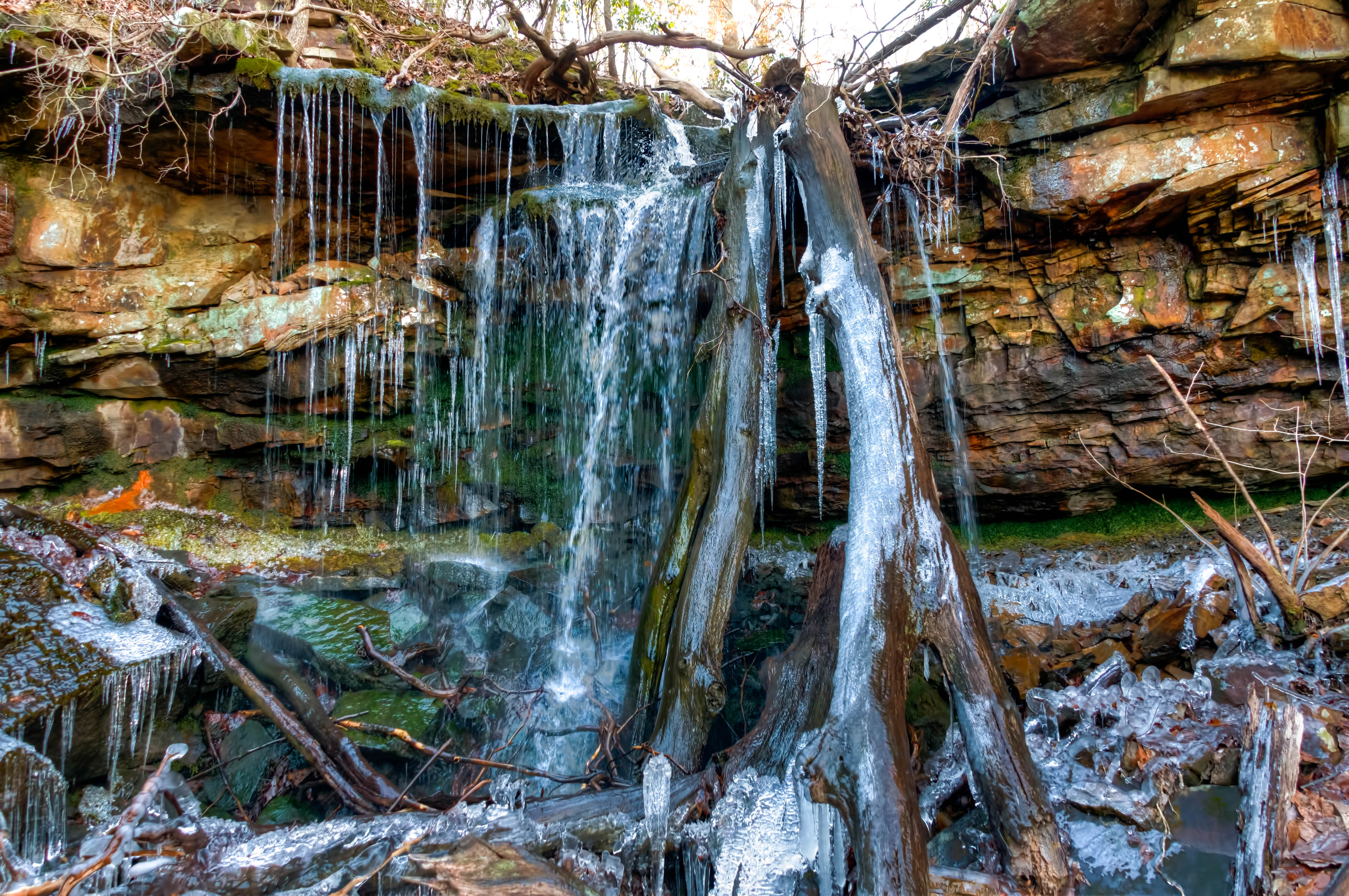
Franklin-Marion State Forest
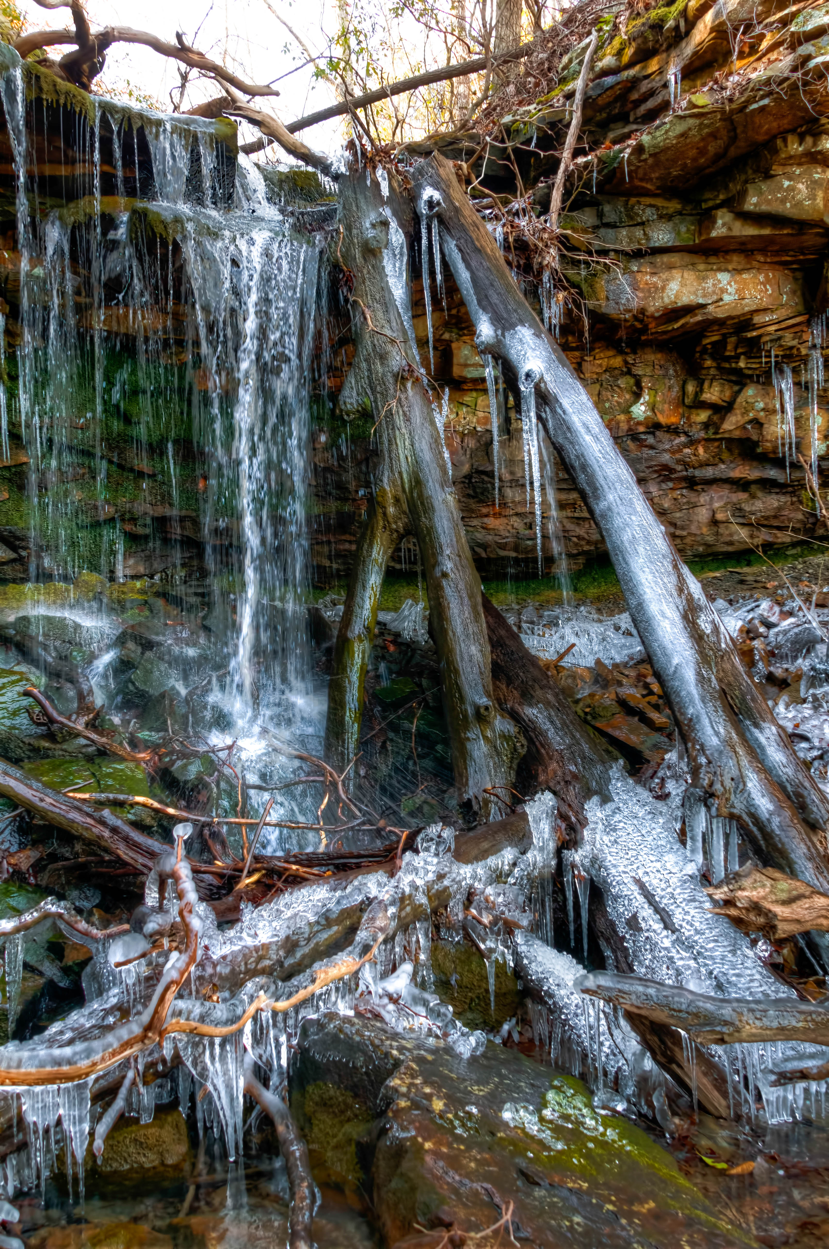
Franklin-Marion State Forest
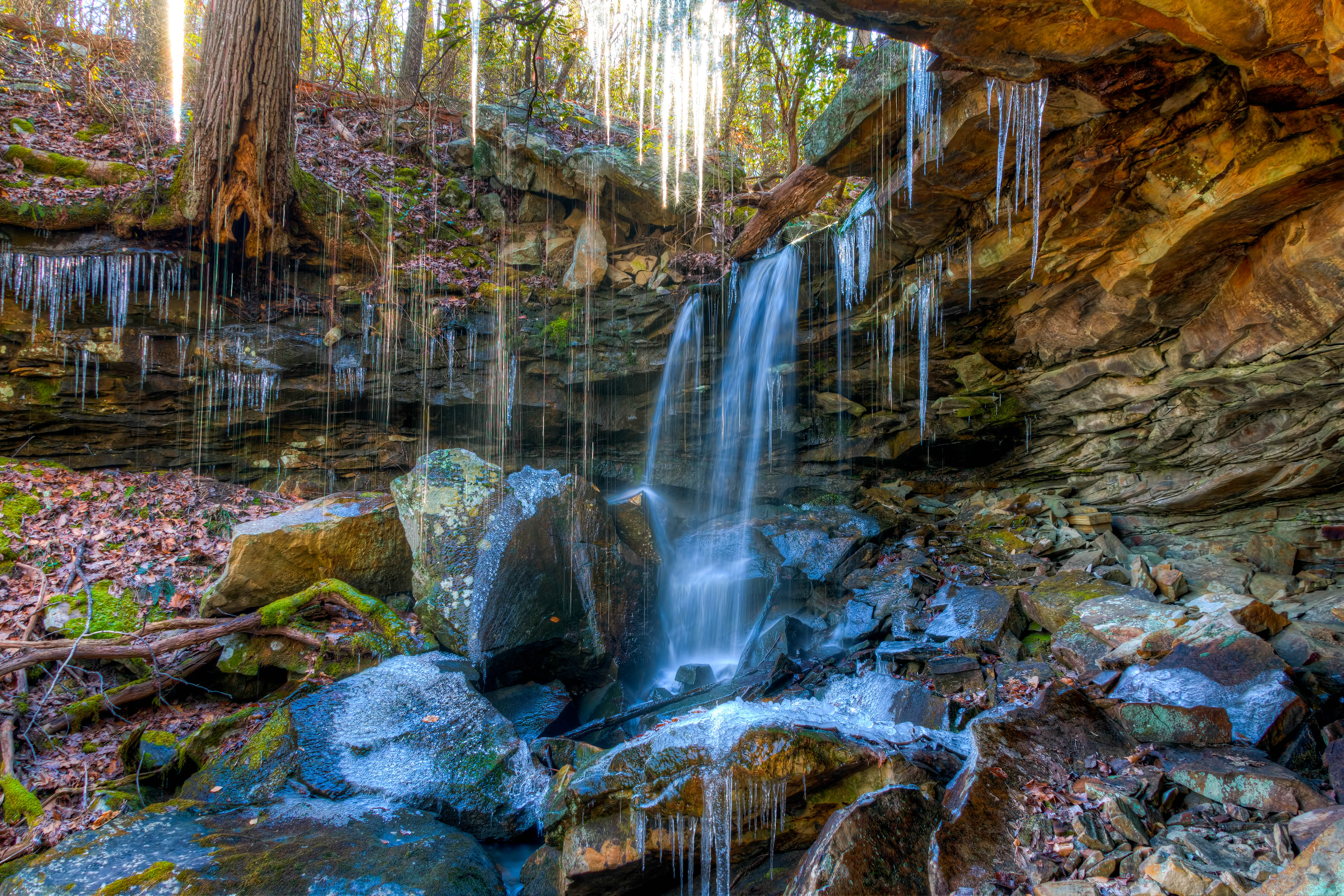
Franklin-Marion State Forest
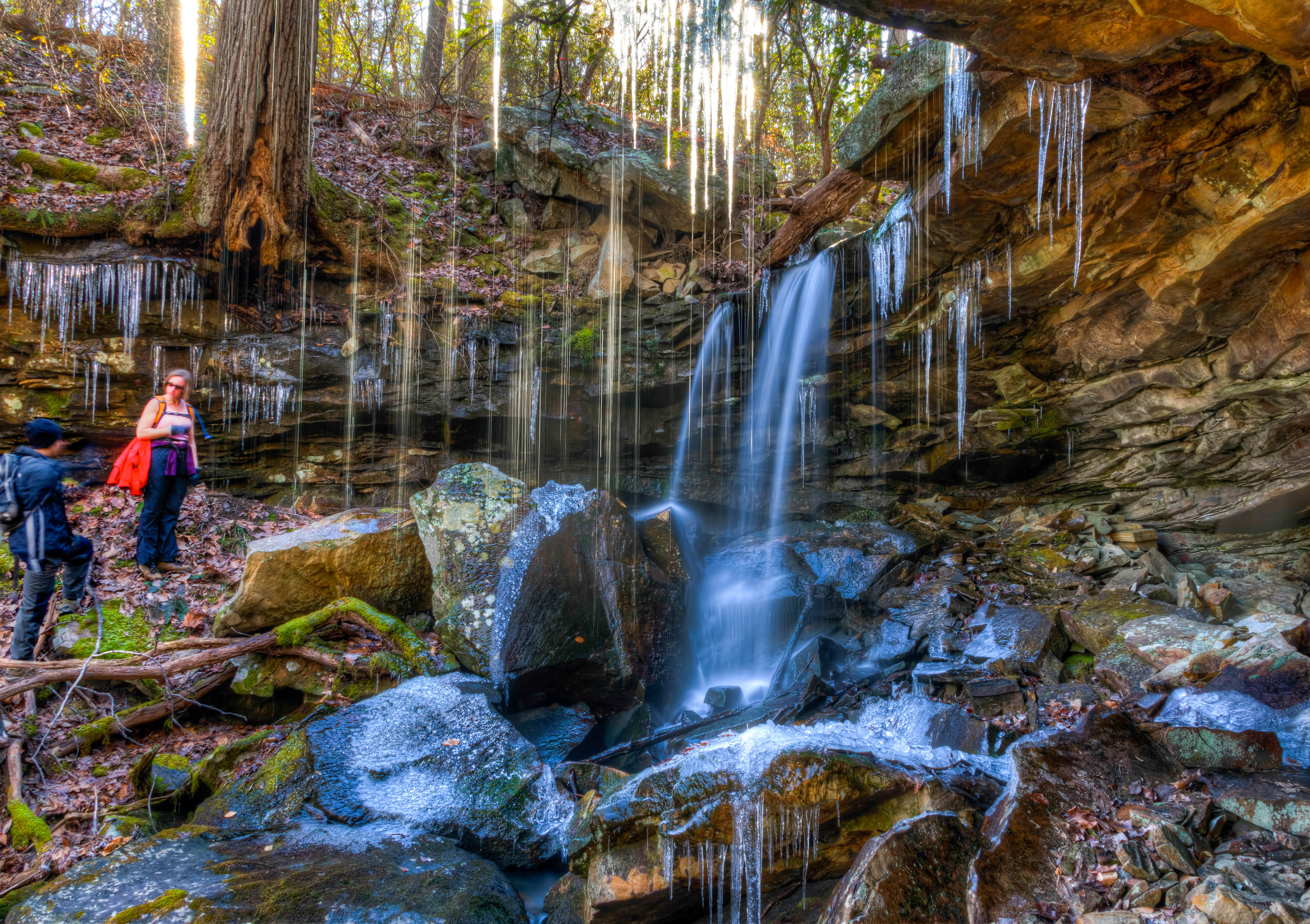
Franklin-Marion State Forest
Forever & Ever
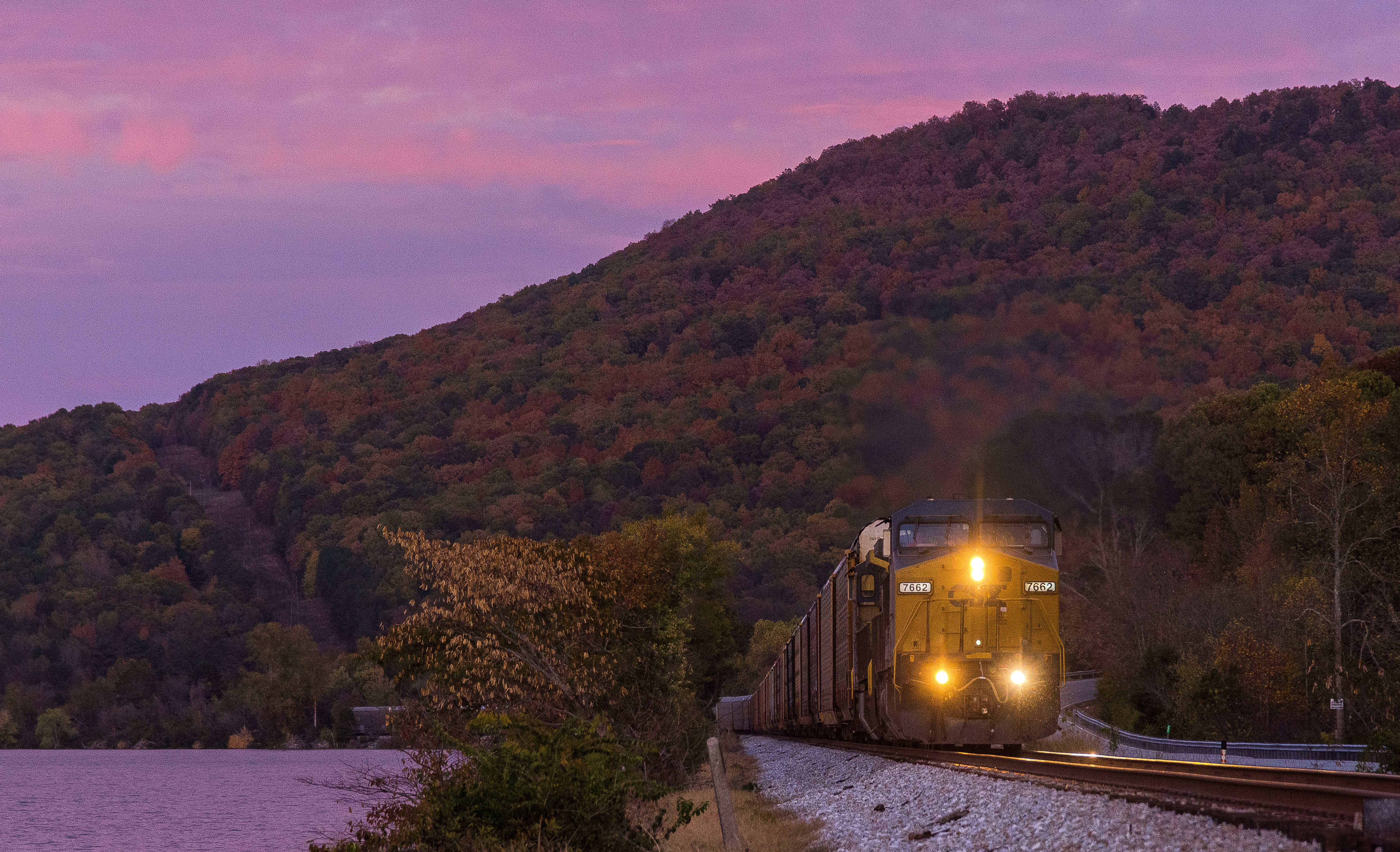
Q210 Shellmound Tennessee
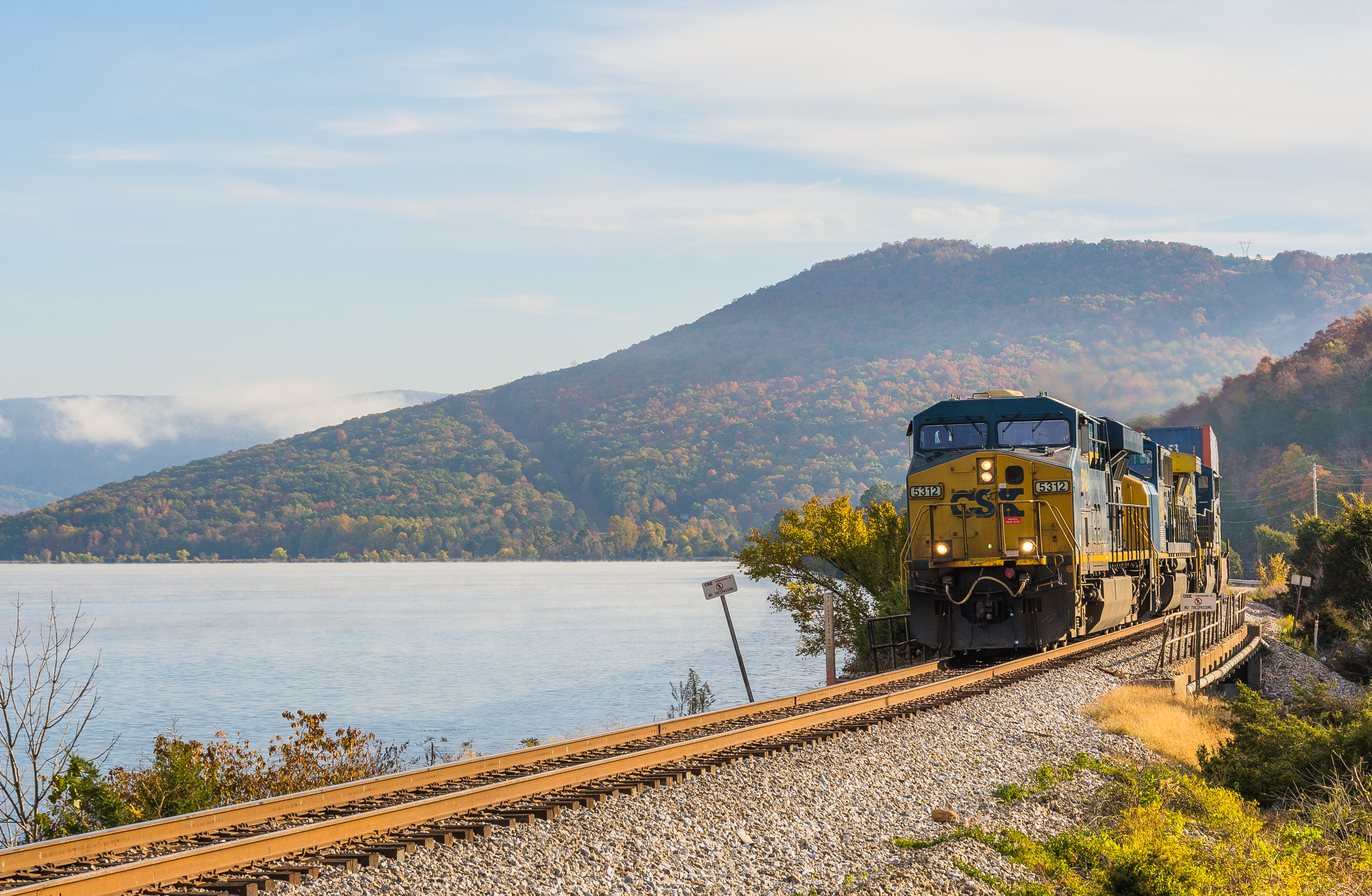
CSX 5312 North Shellmound Tennessee

Franklin-Marion State Forest
Franklin-Marion State Forest

Tennessee lake
Roadside Stop
V163 Bridgeport Alabama

Marsh in Kimball, Tennessee
Franklin-Marion State Forest
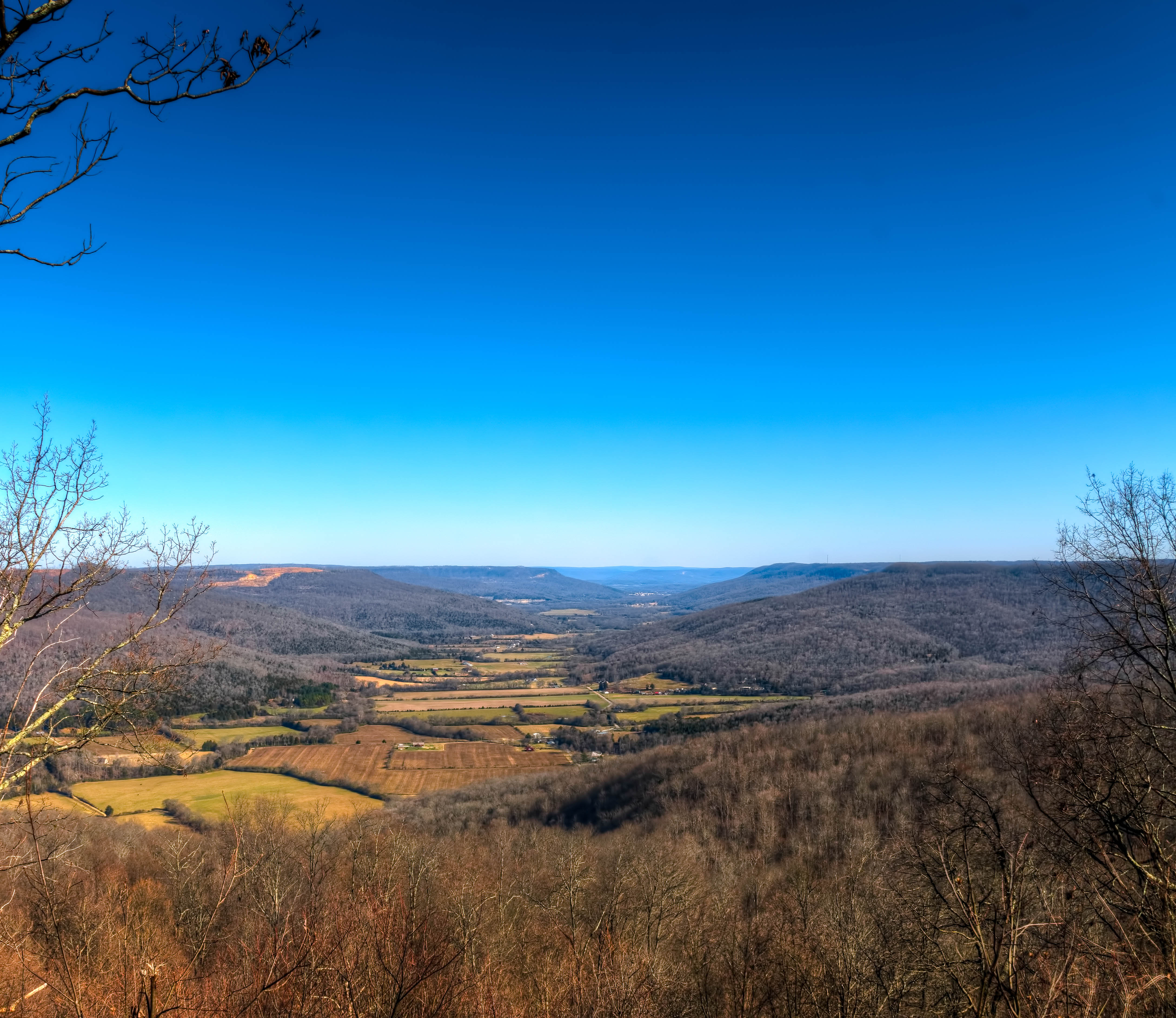
Franklin-Marion State Forest Overlook
Topographic Map of South Pittsburg, TN, USA
Find elevation by address:

Places in South Pittsburg, TN, USA:
Places near South Pittsburg, TN, USA:
402 N Cedar Ave
514 Laurel Ave
700 4th St
855 Raulstontown Rd
1006 Holly Ave
211 12th St N
211 12th St
104 Battle Creek Rd
104 Battle Creek Rd
Jasper Highlands
310 Kimball Crossing Dr
Mail Loop
515 Chance Rd
700 Three Forks Road
Jasper Highlands Blvd
809 Main St
460 Raulston Cove Rd
321 Raulston Cove Rd
405 Raulston Cove Rd
380 Three Forks Road
Recent Searches:
- Elevation of Corso Fratelli Cairoli, 35, Macerata MC, Italy
- Elevation of Tallevast Rd, Sarasota, FL, USA
- Elevation of 4th St E, Sonoma, CA, USA
- Elevation of Black Hollow Rd, Pennsdale, PA, USA
- Elevation of Oakland Ave, Williamsport, PA, USA
- Elevation of Pedrógão Grande, Portugal
- Elevation of Klee Dr, Martinsburg, WV, USA
- Elevation of Via Roma, Pieranica CR, Italy
- Elevation of Tavkvetili Mountain, Georgia
- Elevation of Hartfords Bluff Cir, Mt Pleasant, SC, USA