Elevation of Bogart St, Camarillo, CA, USA
Location: United States > California > Ventura County > Camarillo >

Longitude: -119.03595

Latitude: 34.2282164

Elevation: 51m / 167feet

Barometric Pressure: 101KPa

Elevation Map:

elevation map of Bogart St, Camarillo, CA, USA
Satellite Map:

Satellite map of Bogart St, Camarillo, CA, USA
Related Photos:

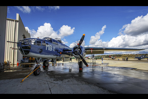
pbj caf b25
PBJ...another view
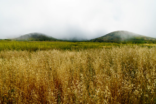
california hike grass mustard desert mountain mist peak mugu orange green white brown weather
Misty Mountains
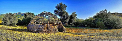
landscape panoramic replica dome southerncalifornia nationalparks 1000views chumash boneymountain nativeamericanculture santamonicamountainsnationalrecreationarea chumashhome chumashpeople satwiwaindianculturalcenter chumashartifact chumasharchitecture
Panoramic Shot of the Chumash Home Replica Santa Monica Mountains National Recreation Area
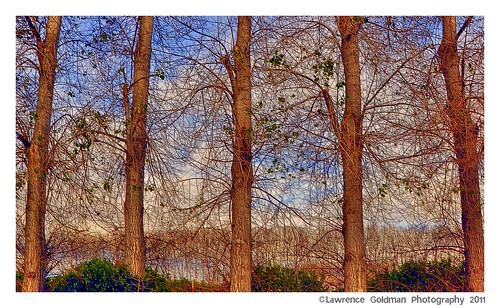
california county trees sky landscape textures southerncalifornia agriculture photoart ventura embossed saticoy nikond90 lawrencegoldman lhg11
Trees Through Trees (Textures)
california history architecture bricks perspective murals southerncalifornia venturacounty smalltown outdoorart santapaula nikond90 artmortimer lawrencegoldman lhg11
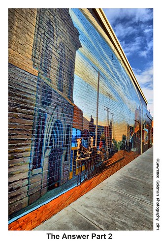
The Answer Part 2 hdr
california airplane nikon aircraft airplanes son restoration mitchell camarillo warbirds caf ventura venturacounty warbird airmuseum hellcat c46 oxnard pt19 camarilloairport commemorativeairforce f6f5 curtisscommando f6f3 onehundredthousandviews minsiiii d700 camarillocalifornia ivansabrams nikond700 aircraftrestoration davidemccampbell abramsandmcdanielinternationallawandeconomicdiplomacy ivansabramsarizonaattorney ivansabramsbauniversityofpittsburghjduniversityofpittsburghllmuniversityofarizonainternationallawyer
Colonel Russell Drosendahl, Commemorative Air Force, Southern California Wing, Camarillo Airport, California, January 2, 2010
california blue photography airport aircraft southerncalifornia airborne propeller venturacounty biplane antiqueairplane santapaula generalaviation comeflywithme nikond90 santapaulaairport lawrencegoldman lhg11 nontowered
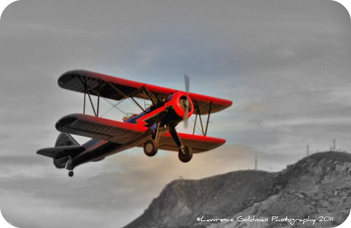
"Come Fly With Me.....
california migration warbler passeriformes prothonotarywarbler protonotariacitrea migratorybird nikond4 leastconcern nikkorafs300ii28 nikonafsii30028
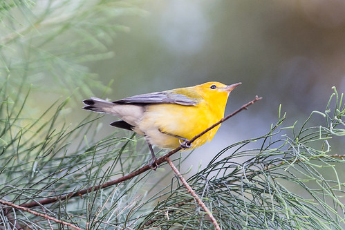
Prothonotory Warbler
reflection geese pond goose explore 23 fp sigma18200 nikond80
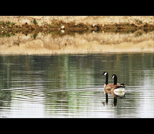
Goose me
ocean california park mountains beach geotagged fire nikon rocks view unitedstates hiking pch pacificocean pacificcoasthighway ptmugustatepark raymillertrail nikond5300
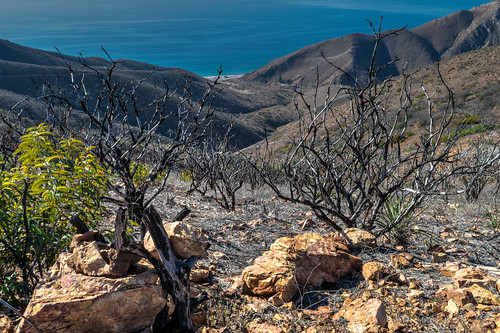
Rising From the Ashes
sunset fruit bravo scenery toilet wc hdr portapotty somis mobiletoilet 180000views
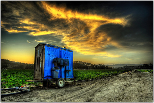
Throwdown Response
california texture malibu digitalphotography pacificcoasthighway pointmugu ilovela creativephotography trafficlighttrails flickraward canoneosdigitalslr discoverlosangeles flickraward5 rebelt2i flickrtravelaward albertvalles santamonicamountais pchnighttraffic
into the fire!
red orange flower explore 92 nikond80 sigma18200hsmos
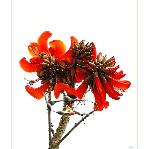
On White
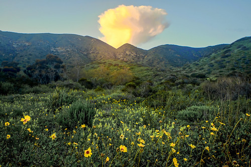
flower sunflower wildsunflower
Wild Sunflower
square squareformat iphoneography instagramapp uploaded:by=instagram foursquare:venue=4c688644832bc928ef91b4a8
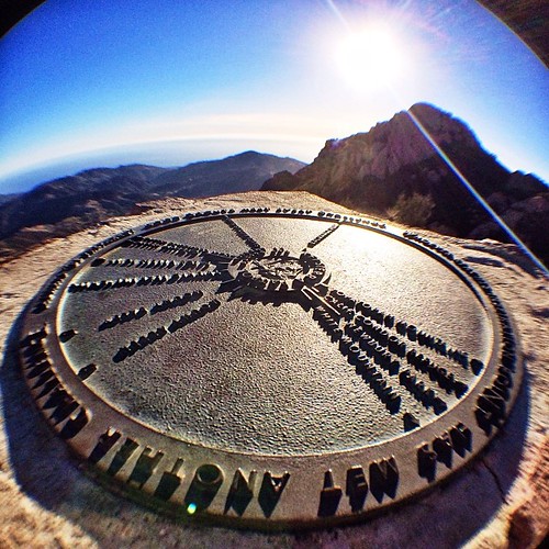
Sweet view.
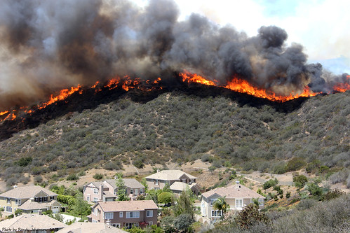
springfire springincident camarillobrushfire
Spring Incident
sunset sun ocean view seascape pch pelicans californiabrownpelicans mugurock pointmugu porthueneme venturacounty californiausa nikond300 18200vr moustachedistortion mikeforsman
Sun Setting on a Gray Day
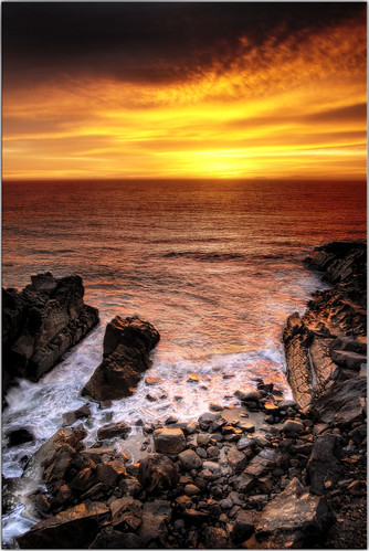
ocean california sunset beach clouds coast scenery rocks malibu pch coastline hdr ptmugu
Swirling Sunset
california lens landscape ed photography landscapes high nikon unitedstates dynamic angle zoom wide wideangle malibu southern socal mp nikkor range hdr afs megapixel f28g 1424mm sonya77hdrcanyonssusnetelmatadorbeach
Sony A55 / A77 Final Cut HDR Landscape Photos for Los Angeles Gallery Show
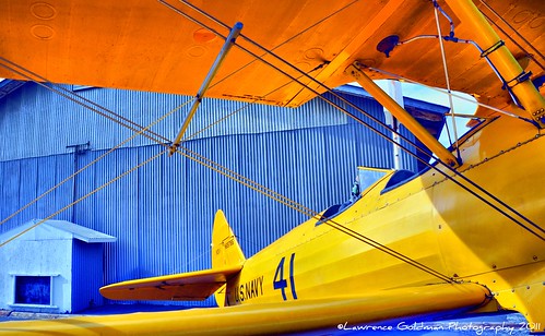
california photography airport aircraft southerncalifornia usnavy venturacounty biplane stearman santapaula generalaviation antiqueaircraft colorphotoaward nikond90 santapaulaairport navalaviationhistory lawrencegoldman lhg11 nontowered
Under the Top Wing of a Yellow Stearman Bi-Plane hdr
blue green grass rock clouds canon 30d efs1022mm
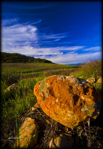
SATWIWA STATE PARK NEWBURY PARK CA
pink flowers sunset lake mountains reflection water pool yellow clouds pond foundation lee kit camarillo leewideangleadapter lee6gndhard
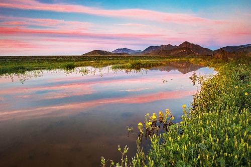
Sick of the Weekend
california hike mountain desert trail cloud sky coast coastal
A Walk On Top of the World
ocean california sunset pointmugu
Sunset at Point Mugu
ocean sunset reflection scenery rocks surf tide hdr venturacounty secretcove ptmugu
Splish Splash
ocean california mountains landscapes highwayone malibu pch coastal pacificcoasthighway peacefulgetaway
socal coast
Calleguas Creek outlet to ocean and turning inland for finish
ocean california sunset scenery pch filter cokin gnd bracketed ptmugu nohdr vosplusbellesphotos
The Sunset That Never Happened
ocean california sunset sky beach water canon sand waves mugu pointmugu explored xti tamron1750
Pt. Mugu
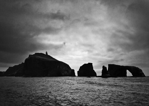
Anacapa Island
20171230_134309-01
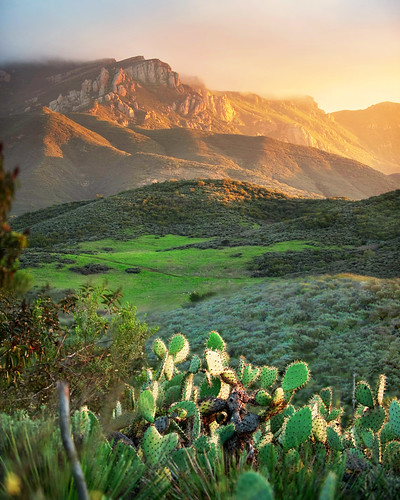
sunset cactus clouds nationalpark rockface santamonicamountains thousandoaks newburypark ranchosierravista mtboney santamonicamountainsnationalrecreationarea ranchosatiwawa magazinecoversantamonicamountains
Does this sunset make you thorny?
ocean sunset beach clouds sand rocks malibu explore pch frontpage venturacounty ptmugu nohdr yesihaddirtyfiltersthusthehazelightbubbles
Guilty!
cameraphone california winter sky blackandwhite bw nature monochrome leaves clouds garden landscape leaf cloudy branches highcontrast monotone hanging backlit 365 botany johns backlighting thousandoaks iphone conejovalley 2013 7feb13 conejovalleybotanicgarden iphone365 iphoneography hipstamatic blackeysbw 3652013 365the2013edition 3652013shootfirstaskquestionslater
2/7/13
california beach tiramisu iphone
Malibu surf
longexposure night canon ventura oxnard canonef35mmf14l 5dmkii
After the Storm
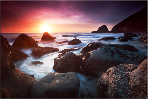
ocean california sunset sky reflection nature water clouds landscape rocks waves pacific pacificocean venturacounty seas ptmugu californiatnc11
Last light at Pt. Mugu
california wallpaper clouds landscape nikon hiking cpl oxnard d90 chumashtrail
Chumash Trail