Elevation of Bode, IA, USA
Location: United States > Iowa > Humboldt County > Delana >
Longitude: -94.289687
Latitude: 42.8683035
Elevation: 352m / 1155feet
Barometric Pressure: 97KPa
Elevation Map:
Satellite Map:
Related Photos:

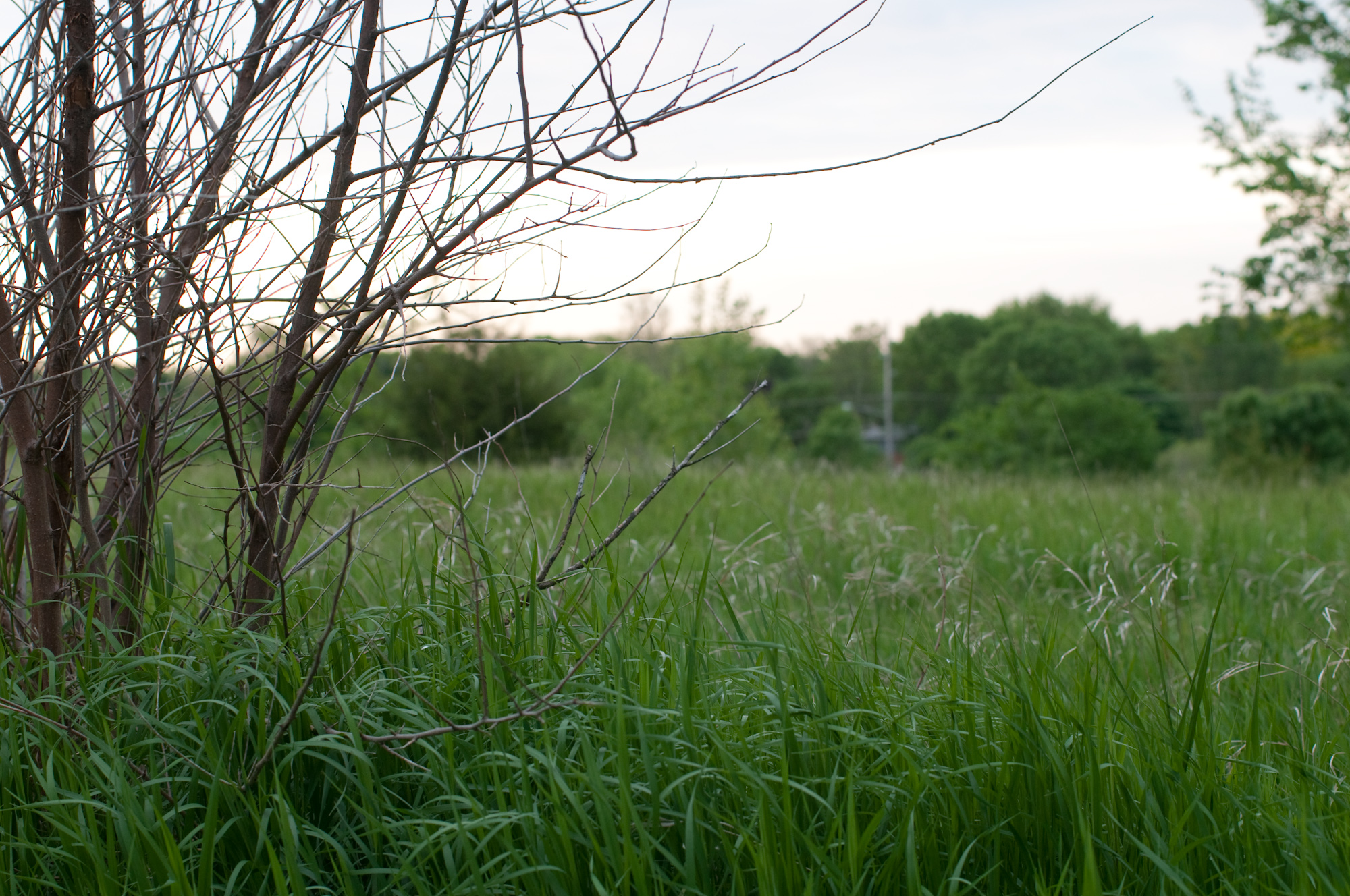
View from street

Trinity Lutheran Church - rural Rutland, IA
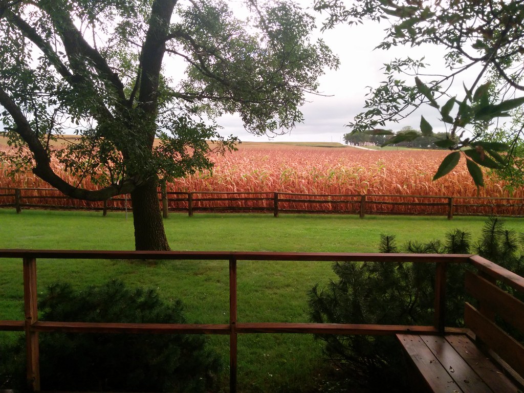
View of the farm

Trinity Lutheran Church - rural Rutland, IA
Humboldt, Iowa

Humboldt, Iowa

Farm to Food
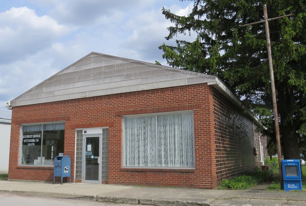
Post Office 50570 (Ottosen, Iowa)
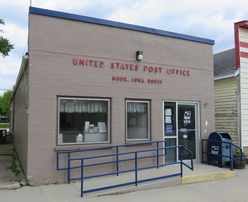
Post Office 50519 (Bode, Iowa)
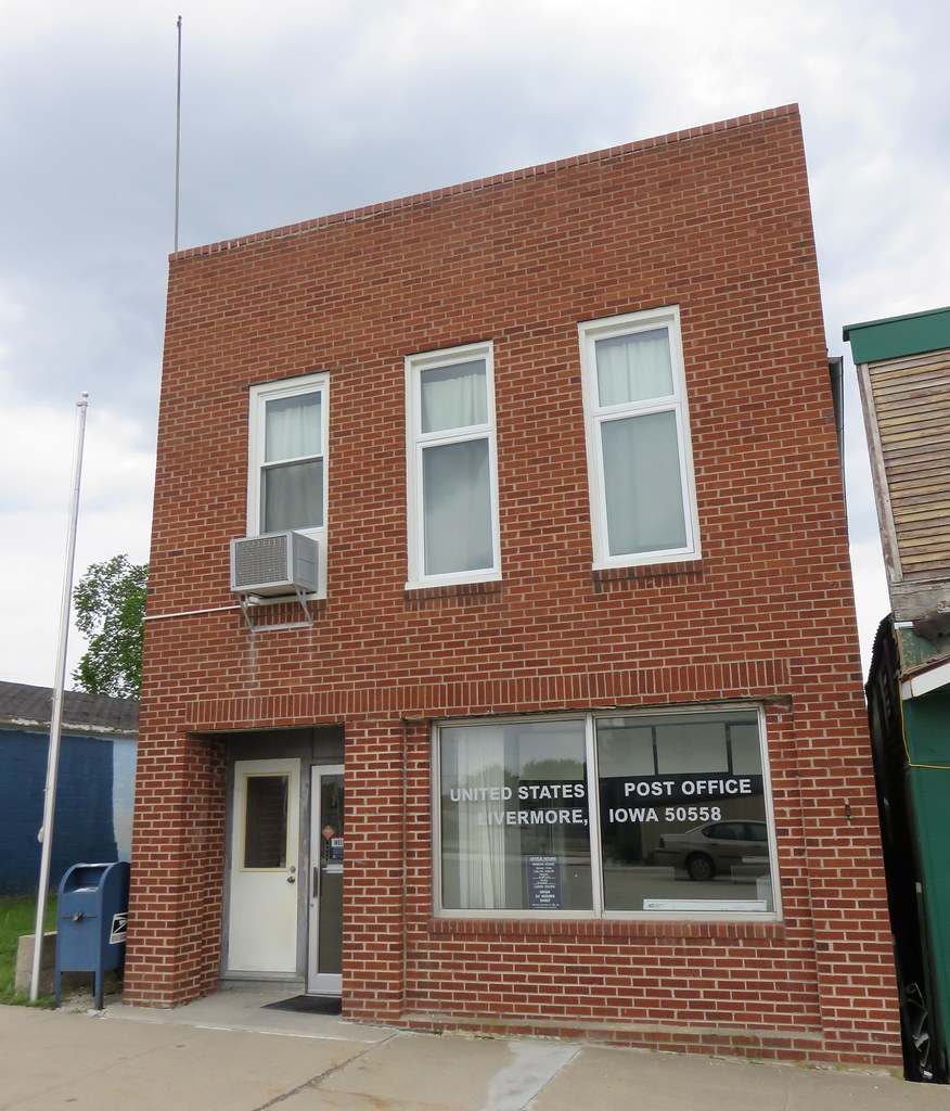
Post Office 50558 (Livermore, Iowa)
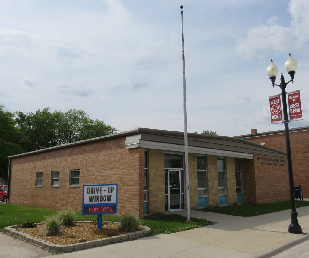
Post Office 50597 (West Bend, Iowa)

Downtown West Bend, Iowa
Public School - Rutland, IA
Downtown Building - Rutland, IA
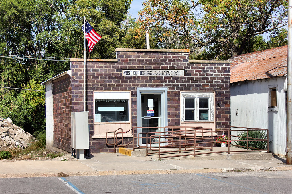
Post Office - Rutland, IA
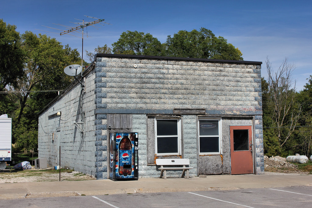
Tavern - Rutland, IA

Community Hall - Rutland, IA
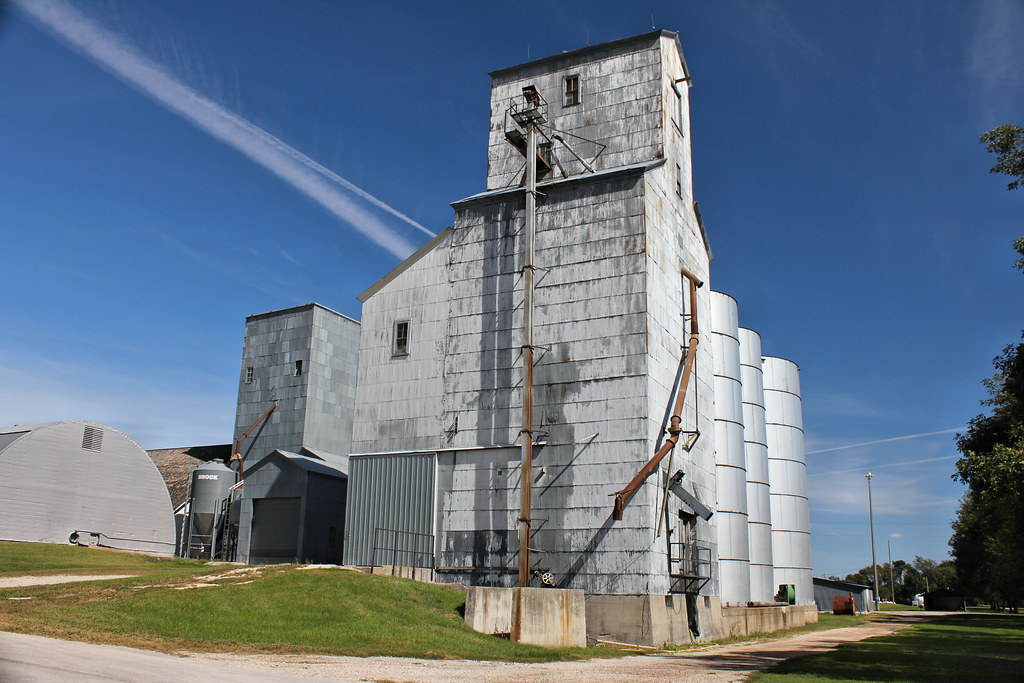
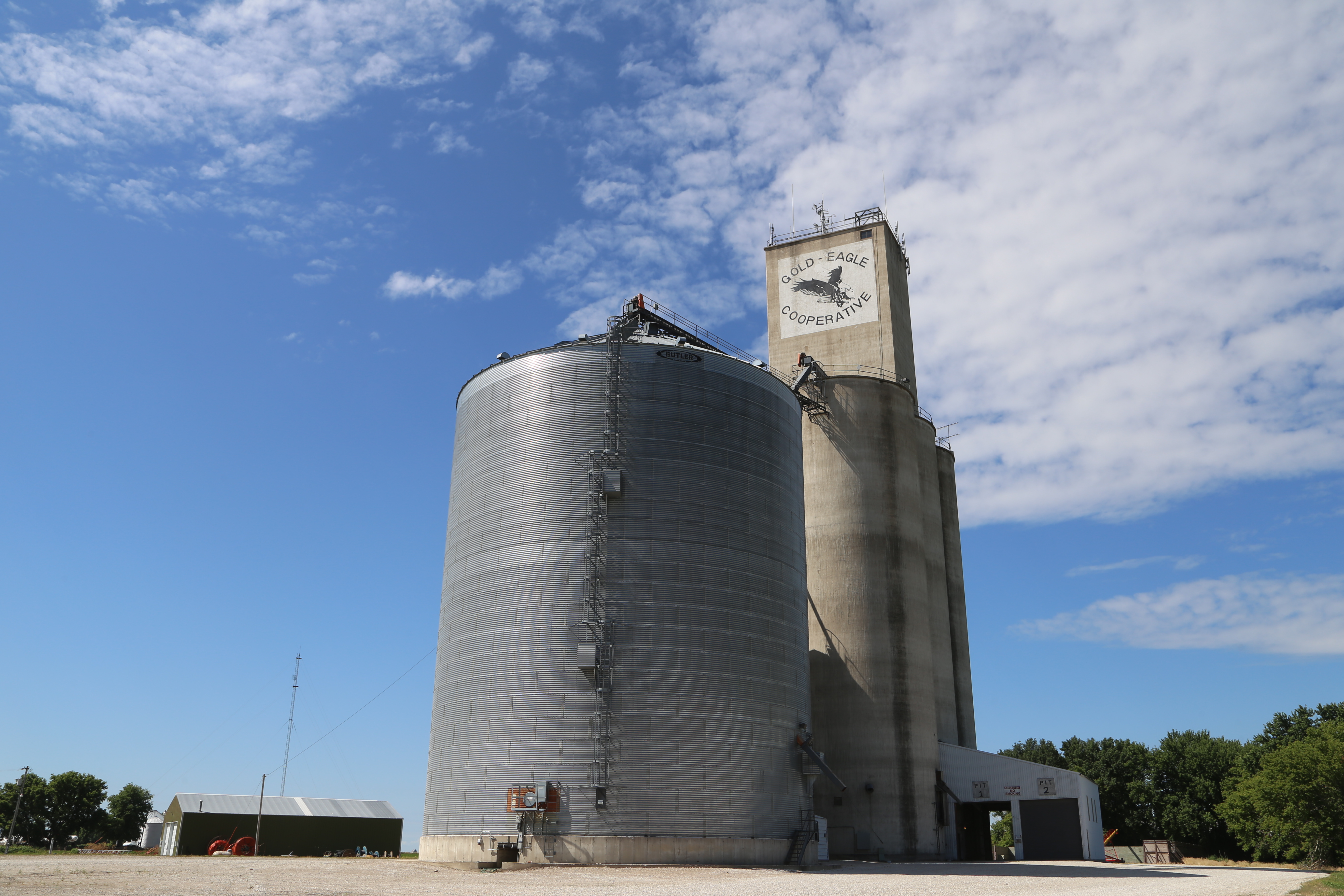
Grain Elevator - Rutland, IA
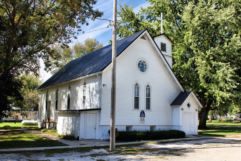
Faith United Methodist Church - Rutland, IA
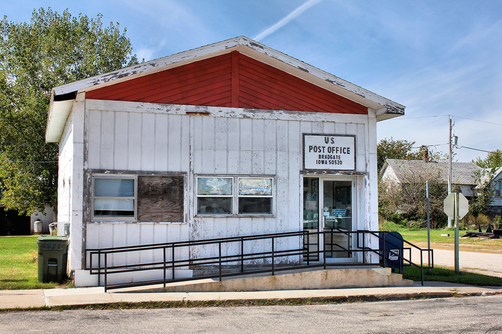
Post Office - Bradgate, IA
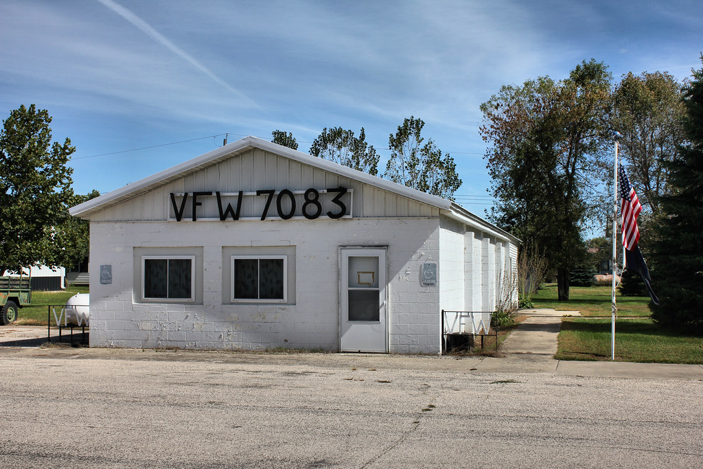
VFW Post 7083 - Bradgate, IA
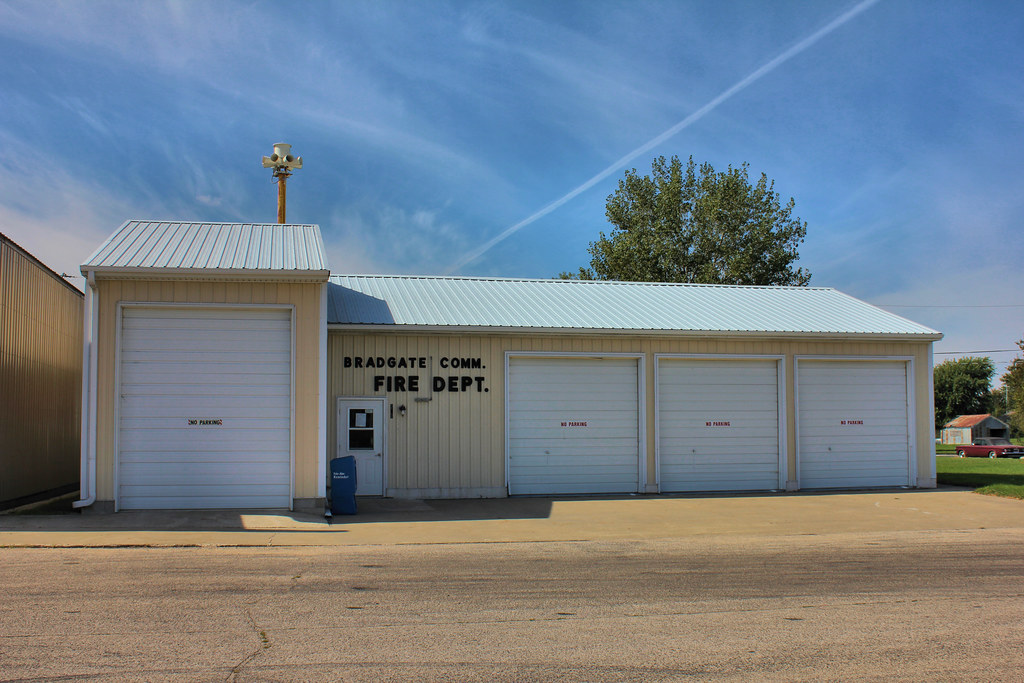
Fire Station - Bradgate, IA
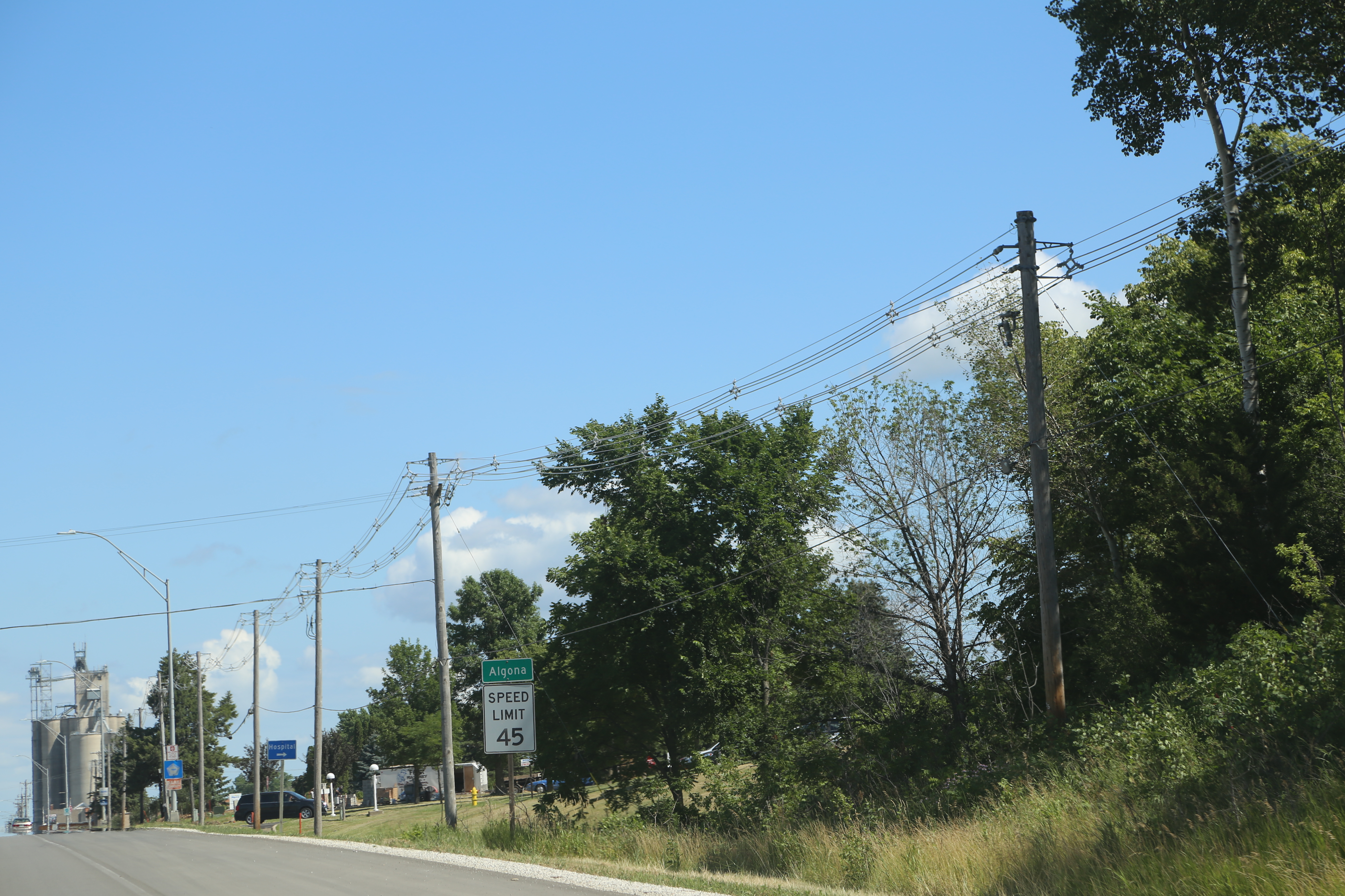
Algona Iowa, Kossuth County IA

Livermore Iowa, Humbolt County IA
Livermore Iowa, Grain Elevator, Humbolt County IA
Topographic Map of Bode, IA, USA
Find elevation by address:

Places in Bode, IA, USA:
Places near Bode, IA, USA:
1st St, Bode, IA, USA
Delana
Algona, IA, USA
718 S Harriet St
E Call St, Algona, IA, USA
Algona
Jackson
Clare
W Front St, Clare, IA, USA
51253 270th Ave
th St, Rolfe, IA, USA
Plover
Powhatan
Bush St, Burt, IA, USA
Burt
Roosevelt
Johnson
Lone Rock
Front St, Barnum, IA, USA
Barnum
Recent Searches:
- Elevation of Corso Fratelli Cairoli, 35, Macerata MC, Italy
- Elevation of Tallevast Rd, Sarasota, FL, USA
- Elevation of 4th St E, Sonoma, CA, USA
- Elevation of Black Hollow Rd, Pennsdale, PA, USA
- Elevation of Oakland Ave, Williamsport, PA, USA
- Elevation of Pedrógão Grande, Portugal
- Elevation of Klee Dr, Martinsburg, WV, USA
- Elevation of Via Roma, Pieranica CR, Italy
- Elevation of Tavkvetili Mountain, Georgia
- Elevation of Hartfords Bluff Cir, Mt Pleasant, SC, USA