Elevation of Bobby Long Rd, Duncanville, AL, USA
Location: United States > Alabama > Tuscaloosa County > Duncanville >
Longitude: -87.319236
Latitude: 33.027093
Elevation: 116m / 381feet
Barometric Pressure: 100KPa
Elevation Map:
Satellite Map:
Related Photos:

Eli and his baby buds had a blast at the pumpkin patch today! ???? #pumpkinpatch
DSC_0279.jpg
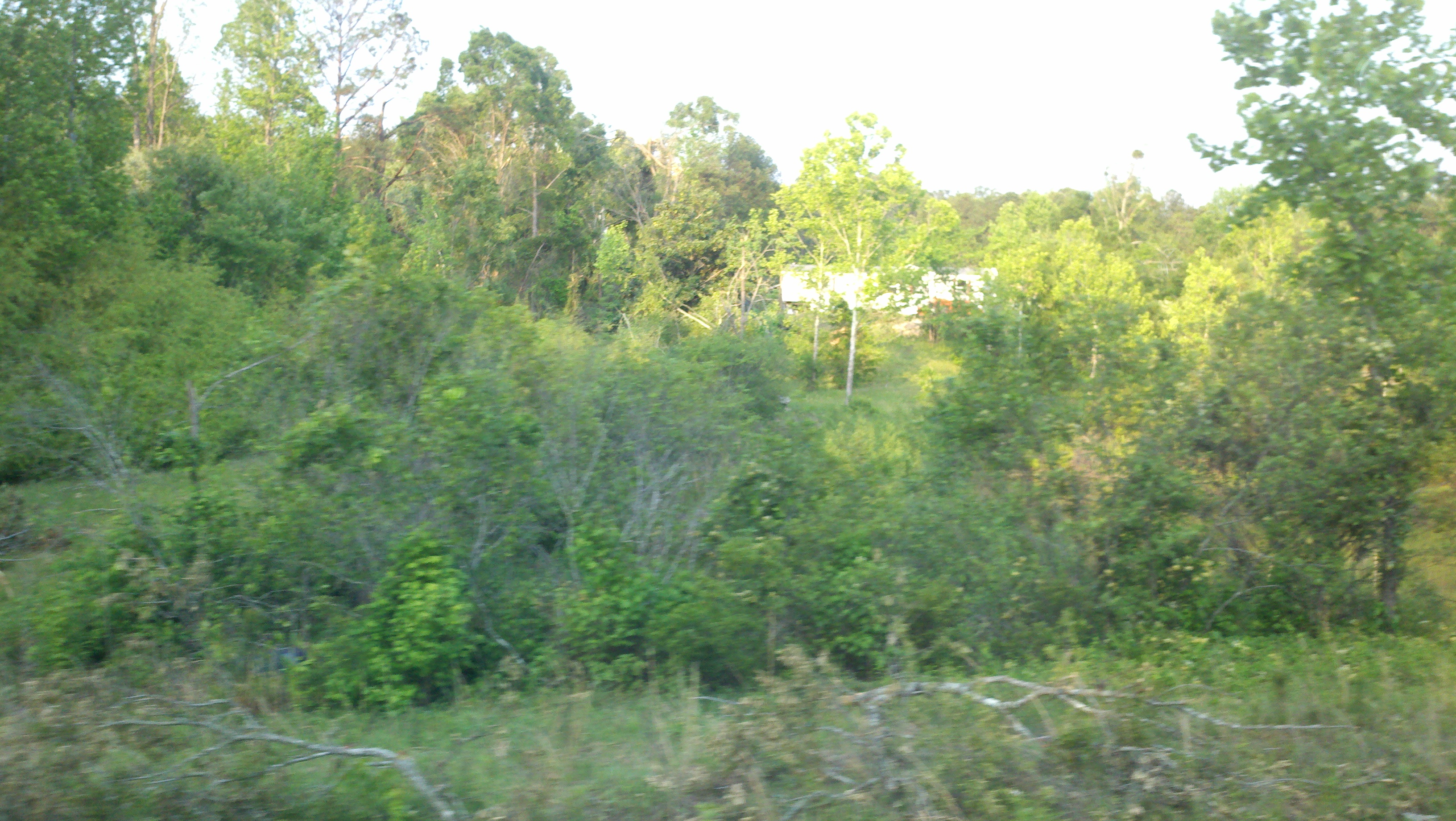
AL Duncanville
AL Duncanville
AL Duncanville
AL Duncanville
AL Duncanville
AL Duncanville
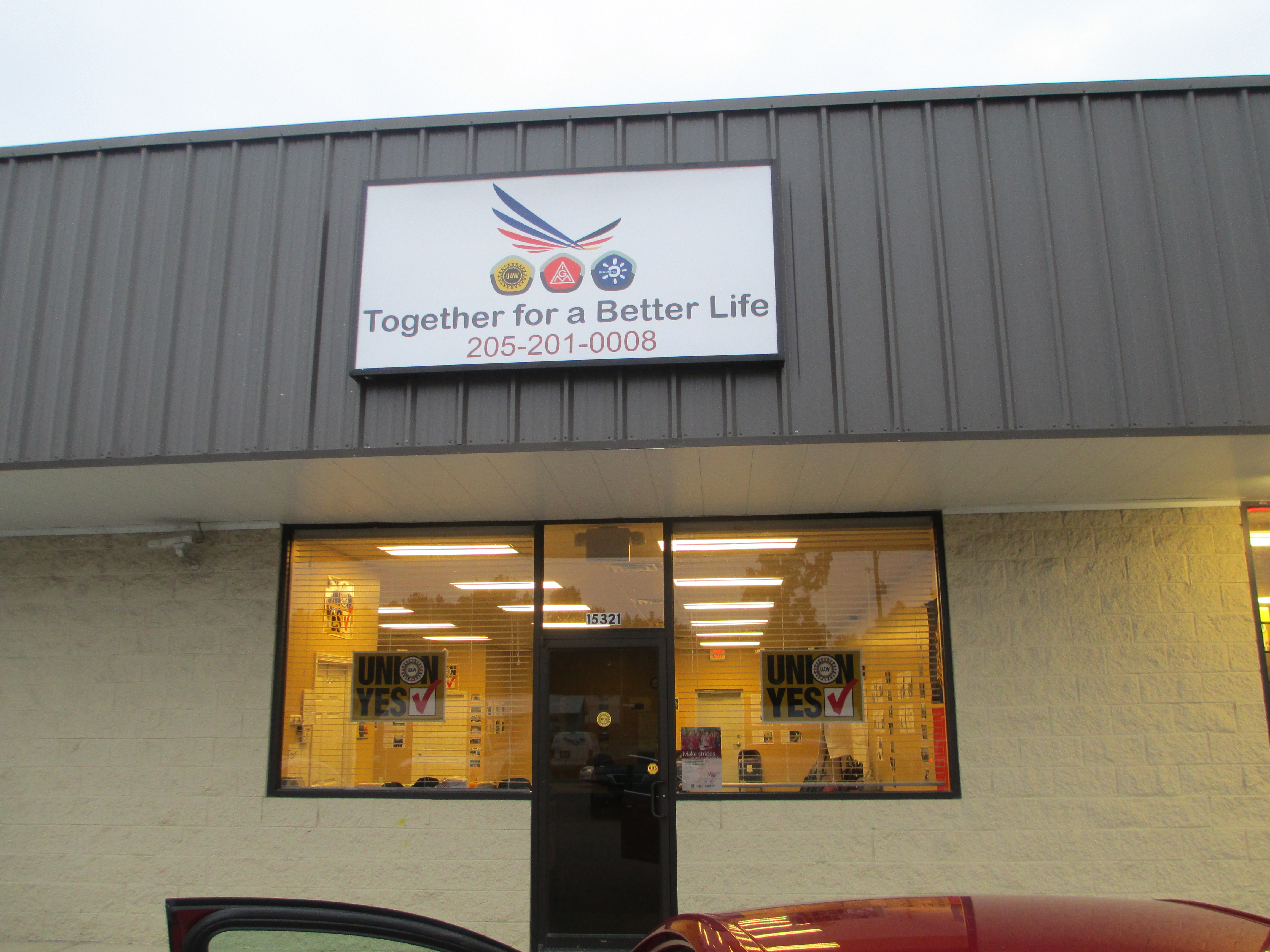
UAW office, Coaling, Alabama
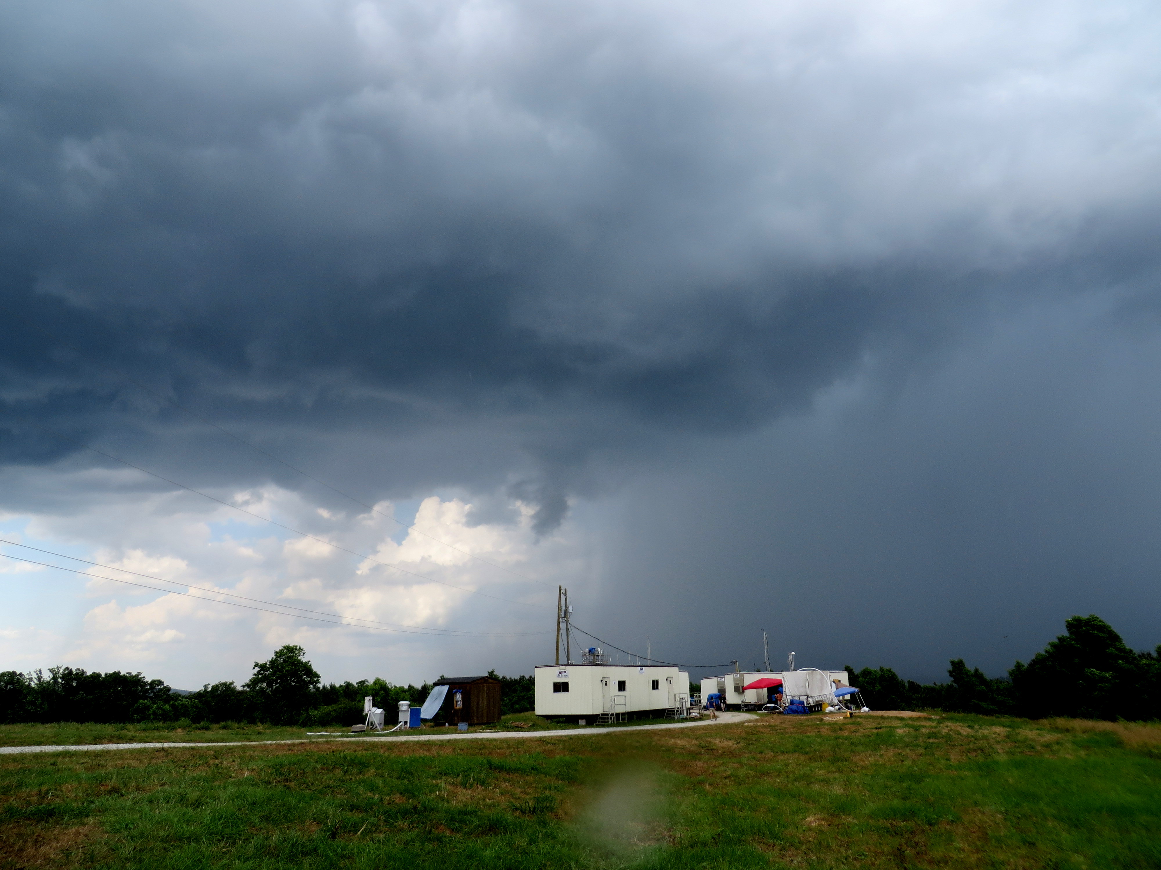
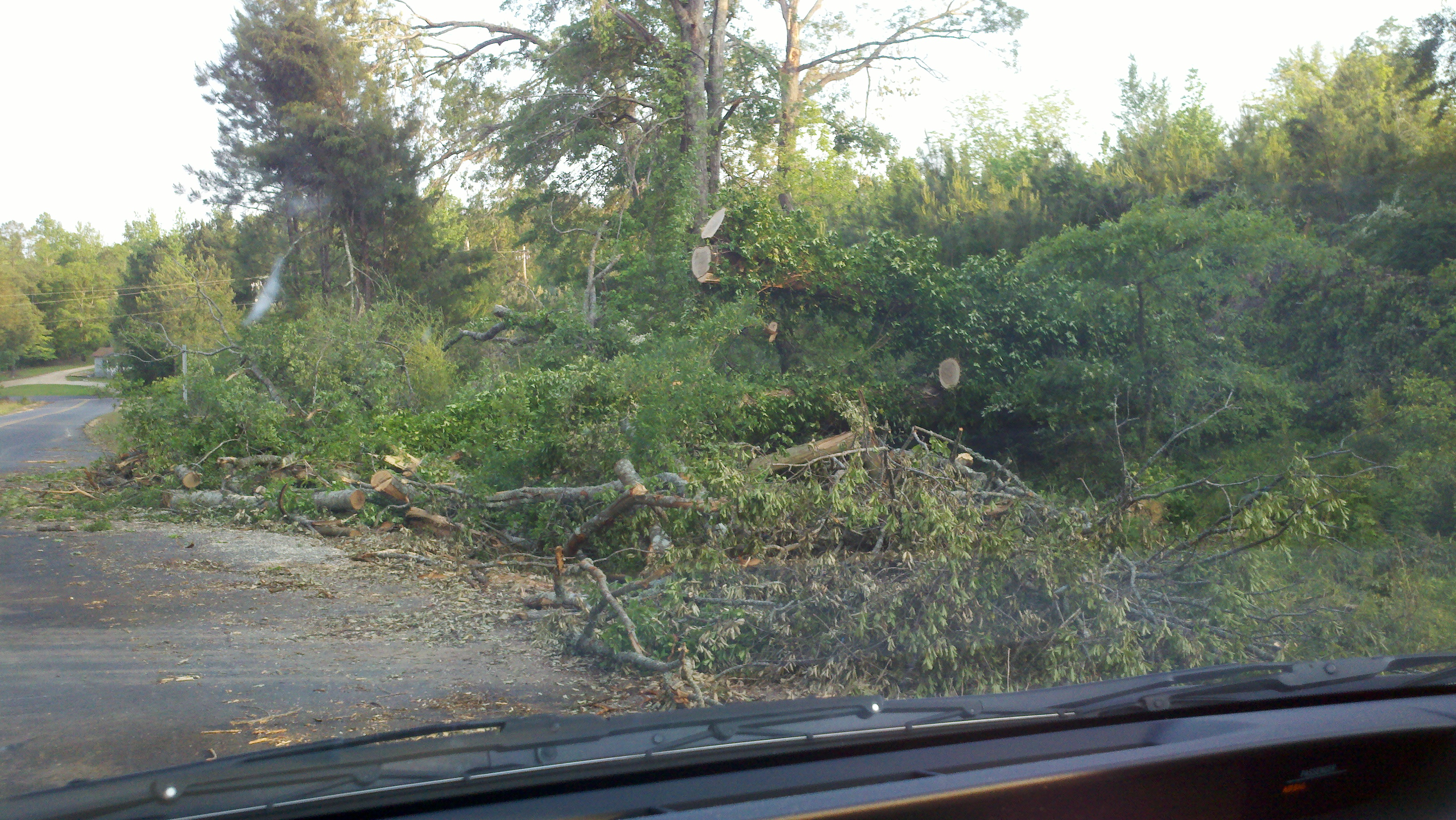
Heavy Shower
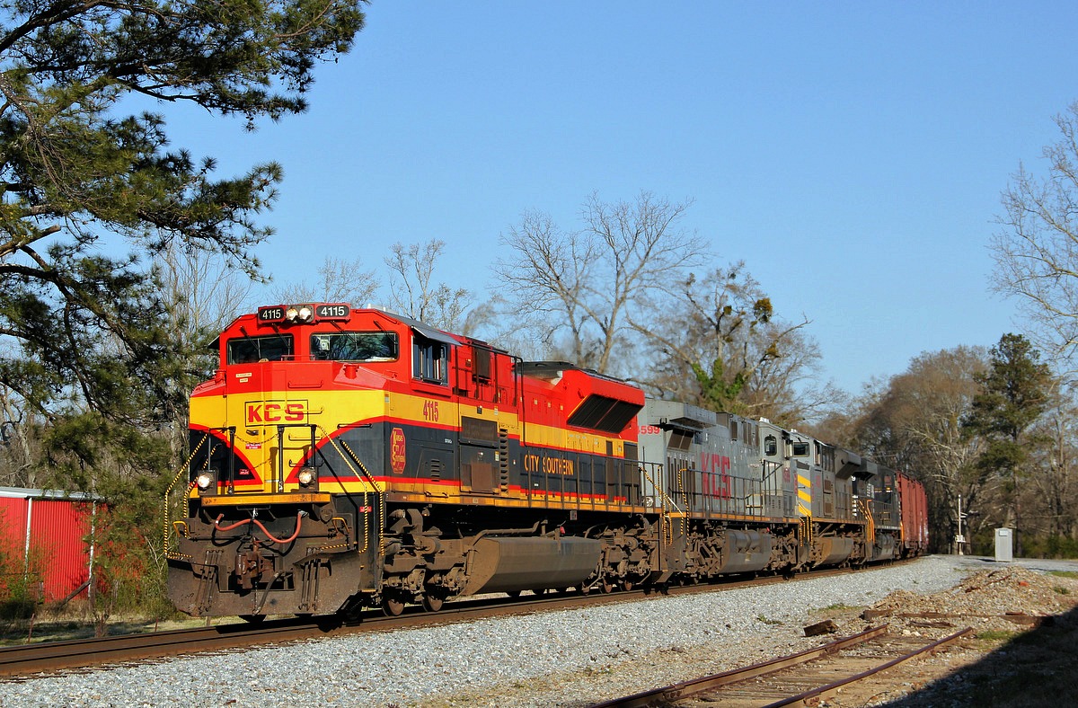
NS'S Alabama Division AGS South District
NS'S Alabama Division AGS South District
2011-04-30_18-26-37_601
2011-04-30_18-26-17_250
2011-04-30_18-26-07_226
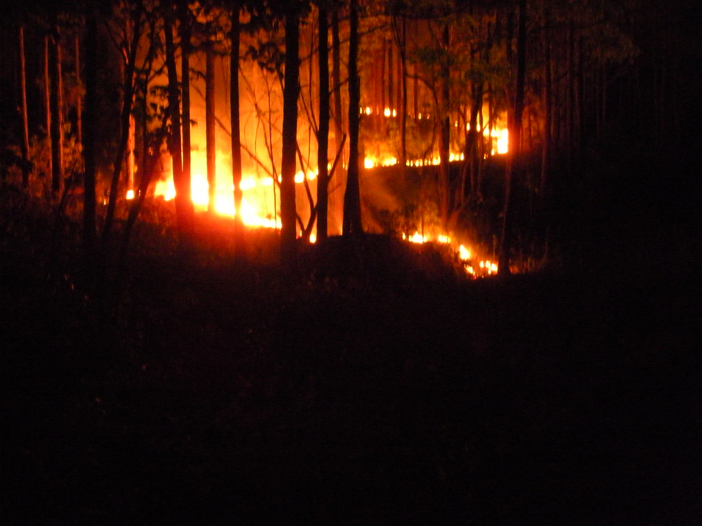
Prescribed burn, Oakmulgee Ranger District, Talladega National Forest, Alabama
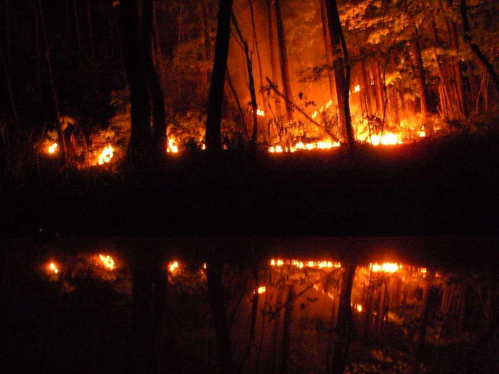
Prescribed burn, Oakmulgee Ranger District, Talladega National Forest, Alabama
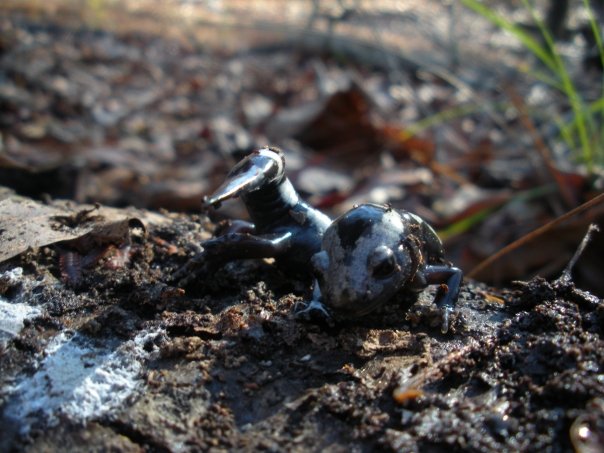
Marbled Salamander (Ambystoma opacum)

One Way To Clear Your Sinuses
Topographic Map of Bobby Long Rd, Duncanville, AL, USA
Find elevation by address:

Places near Bobby Long Rd, Duncanville, AL, USA:
Hagler Coaling Rd, Duncanville, AL, USA
AL-25, Brent, AL, USA
Vernon Town Rd, West Blocton, AL, USA
Duncanville
Coaling
Vance Blocton Rd, West Blocton, AL, USA
12172 Us-82
Co Rd 83, Brent, AL, USA
US-11, Cottondale, AL, USA
10100 Brose Dr
Vance
Judson Park Dr, Cottondale, AL, USA
14585 Zack Hewitt Rd
Golden Acres Dr, Cottondale, AL, USA
Sherwood Forest, Duncanville, AL, USA
Peach Grove Rd, Tuscaloosa, AL, USA
Cottondale
Brookwood
AL-, Brookwood, AL, USA
Forest Retreat Dr, Tuscaloosa, AL, USA
Recent Searches:
- Elevation of Corso Fratelli Cairoli, 35, Macerata MC, Italy
- Elevation of Tallevast Rd, Sarasota, FL, USA
- Elevation of 4th St E, Sonoma, CA, USA
- Elevation of Black Hollow Rd, Pennsdale, PA, USA
- Elevation of Oakland Ave, Williamsport, PA, USA
- Elevation of Pedrógão Grande, Portugal
- Elevation of Klee Dr, Martinsburg, WV, USA
- Elevation of Via Roma, Pieranica CR, Italy
- Elevation of Tavkvetili Mountain, Georgia
- Elevation of Hartfords Bluff Cir, Mt Pleasant, SC, USA