Elevation of Vernon Town Rd, West Blocton, AL, USA
Location: United States > Alabama > Bibb County > West Blocton >
Longitude: -87.193638
Latitude: 33.0602702
Elevation: 127m / 417feet
Barometric Pressure: 100KPa
Elevation Map:
Satellite Map:
Related Photos:

December 22, 2013
Cahaba River National Wildlife Refuge - 2

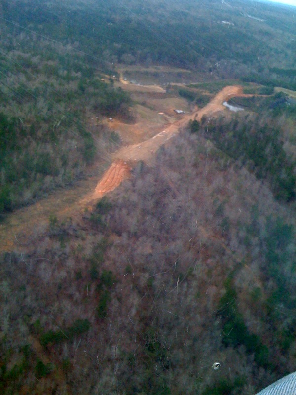
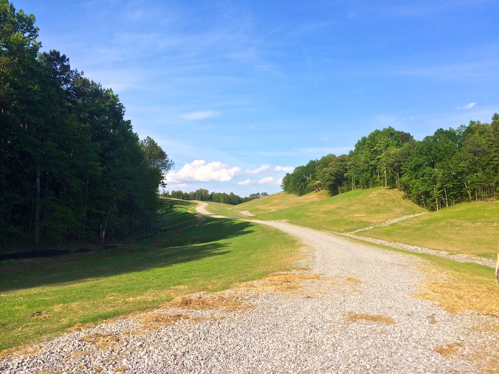
MBUSI Off Road Track
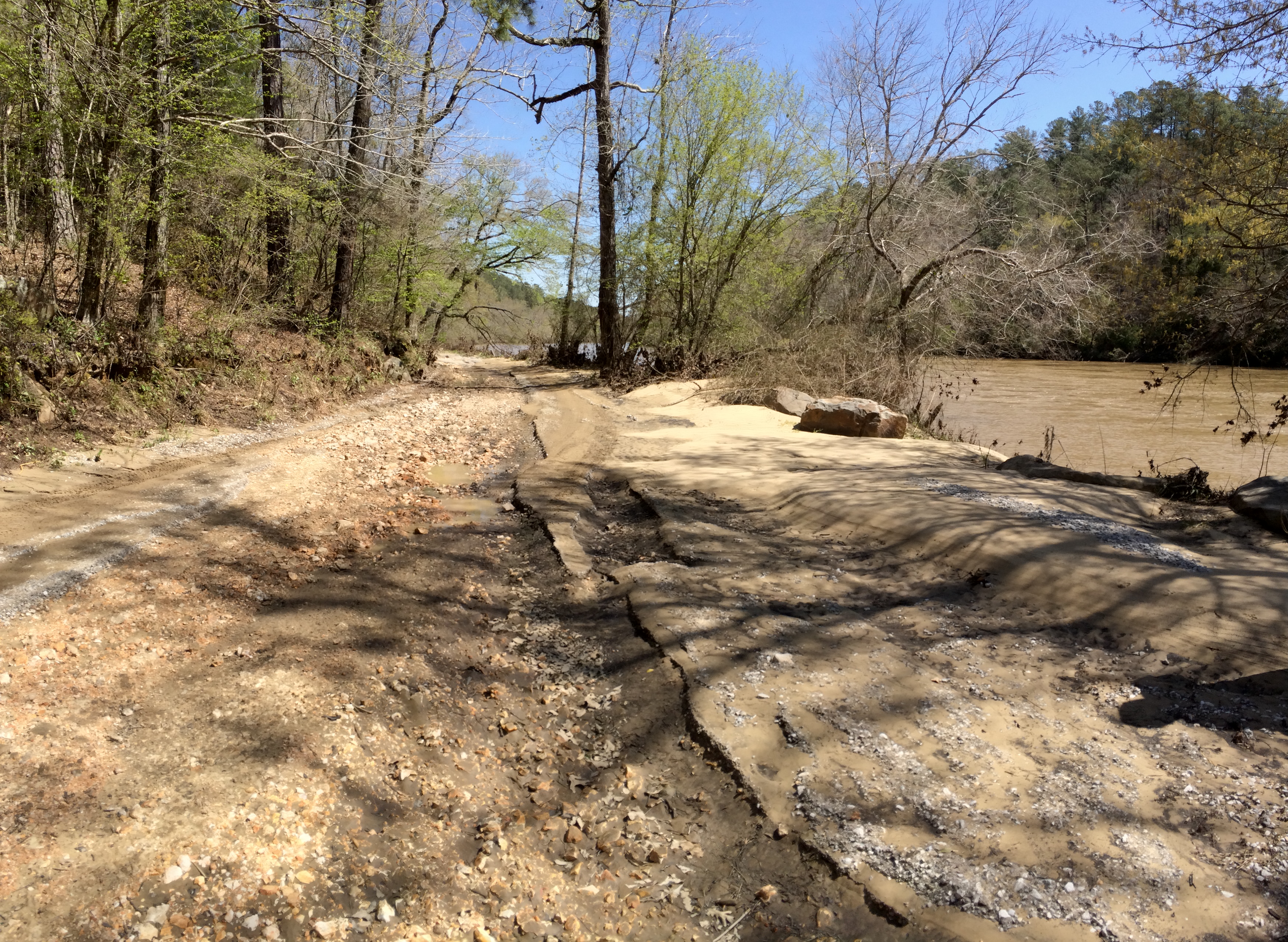
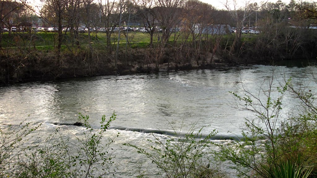
Cahaba River Road erosion
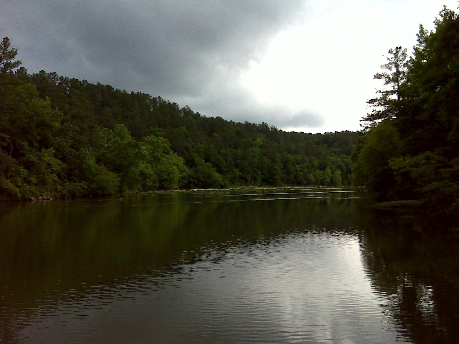
Cahaba River National Wildlife Refuge
Had to take off somewhere...
Piper II high-wall mine reclamation
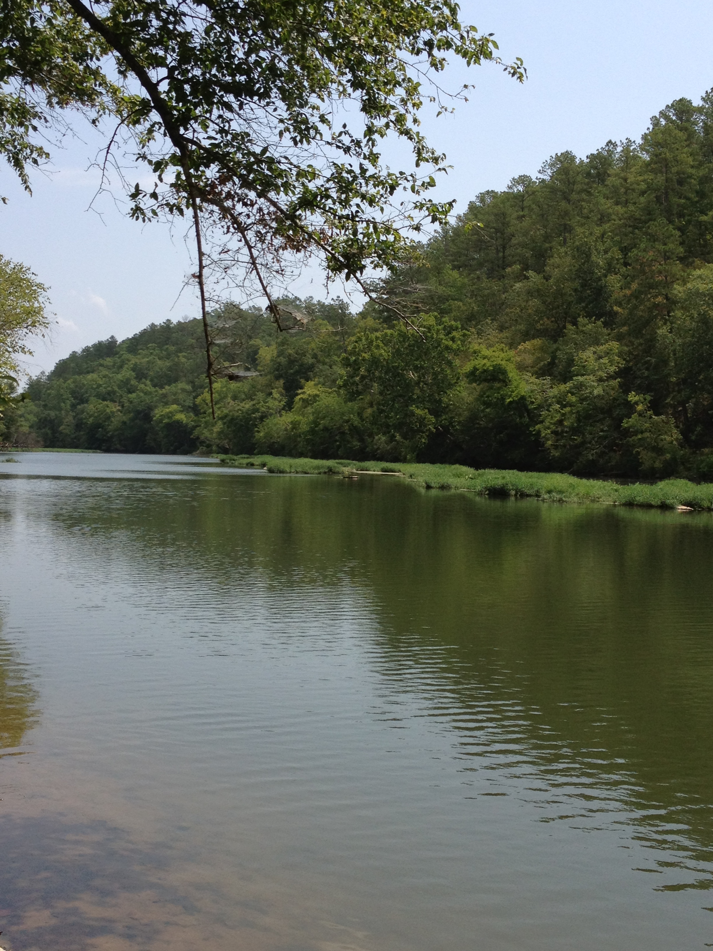
Cahaba River National Wildlife Refuge - 1
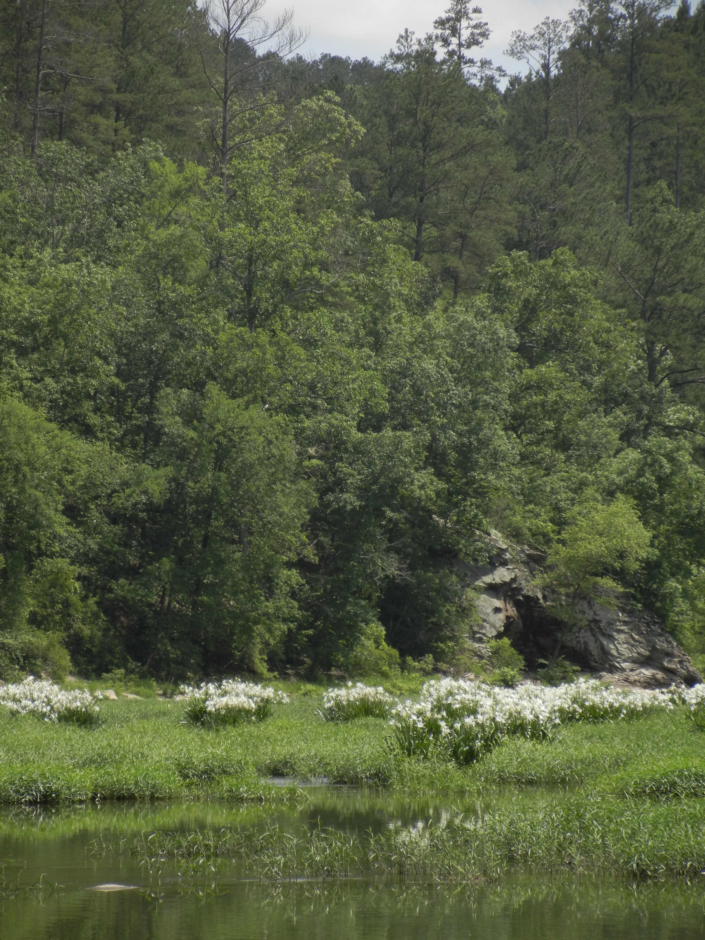
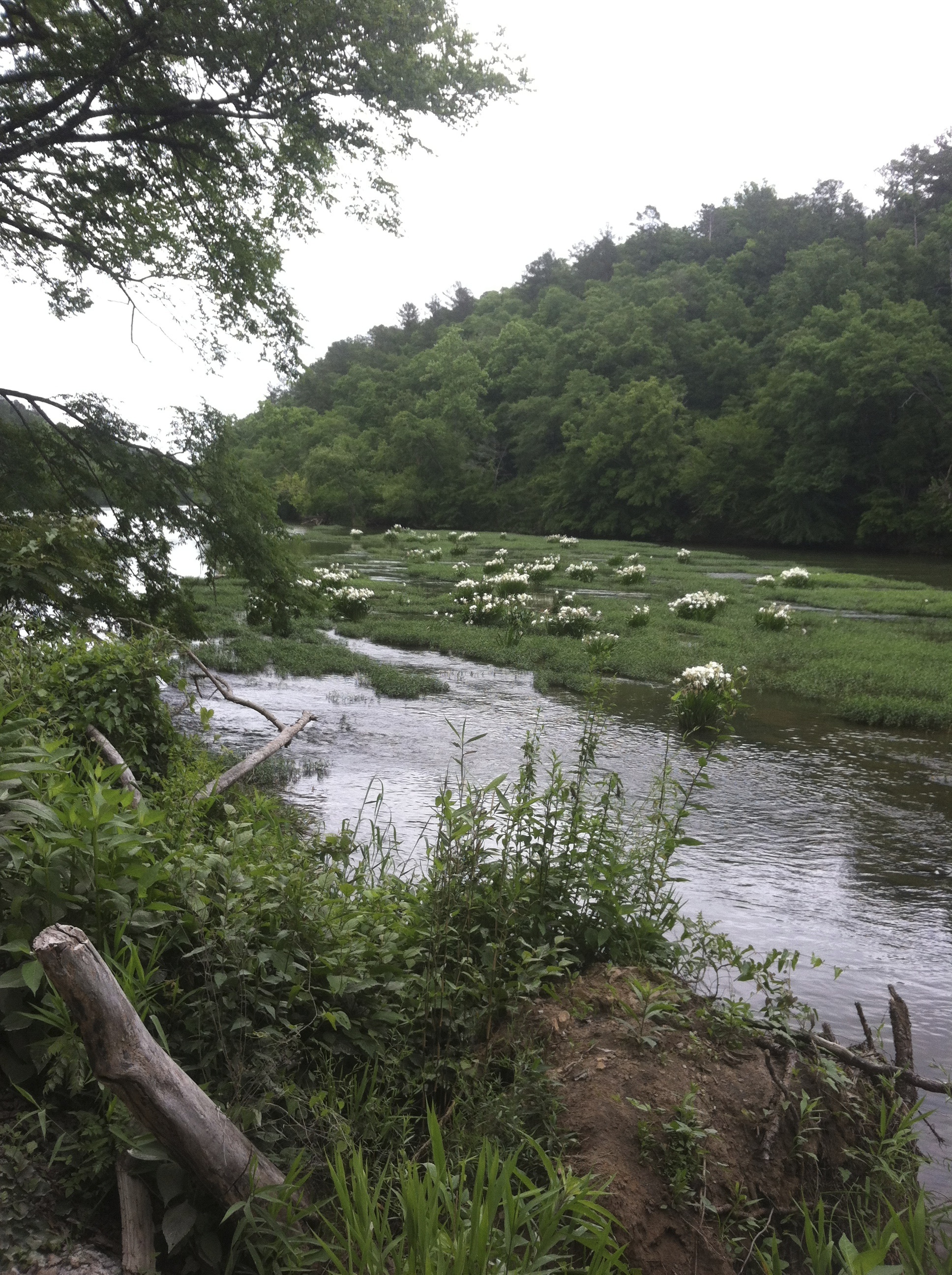
Lilies at Cahaba
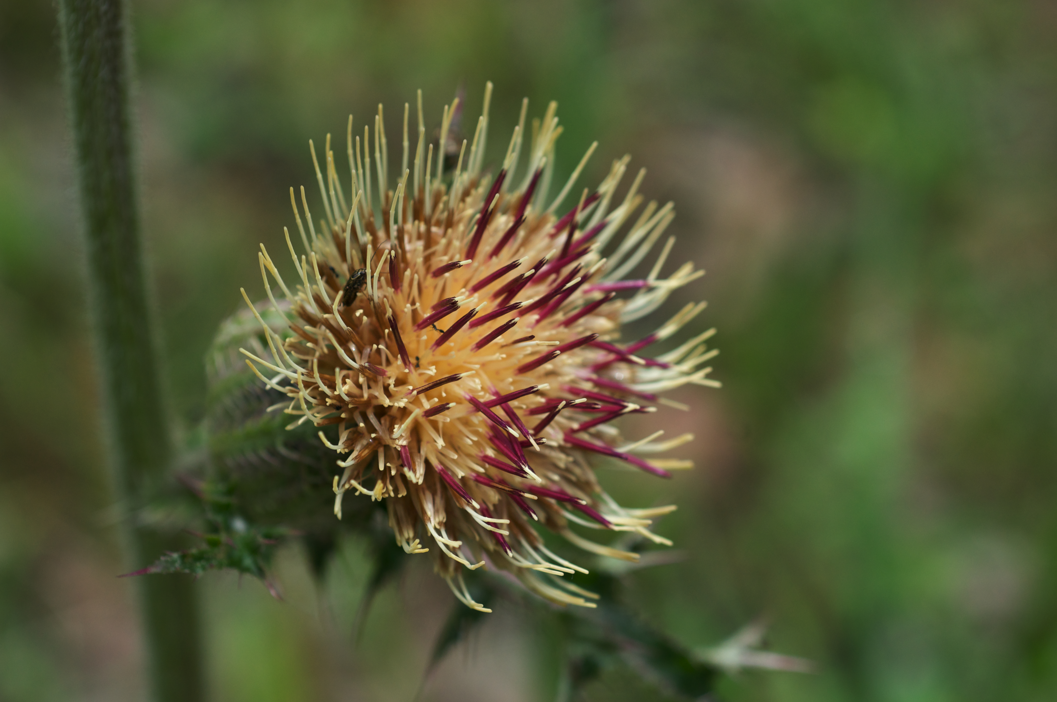
Cirsium horridulum var. horridulum
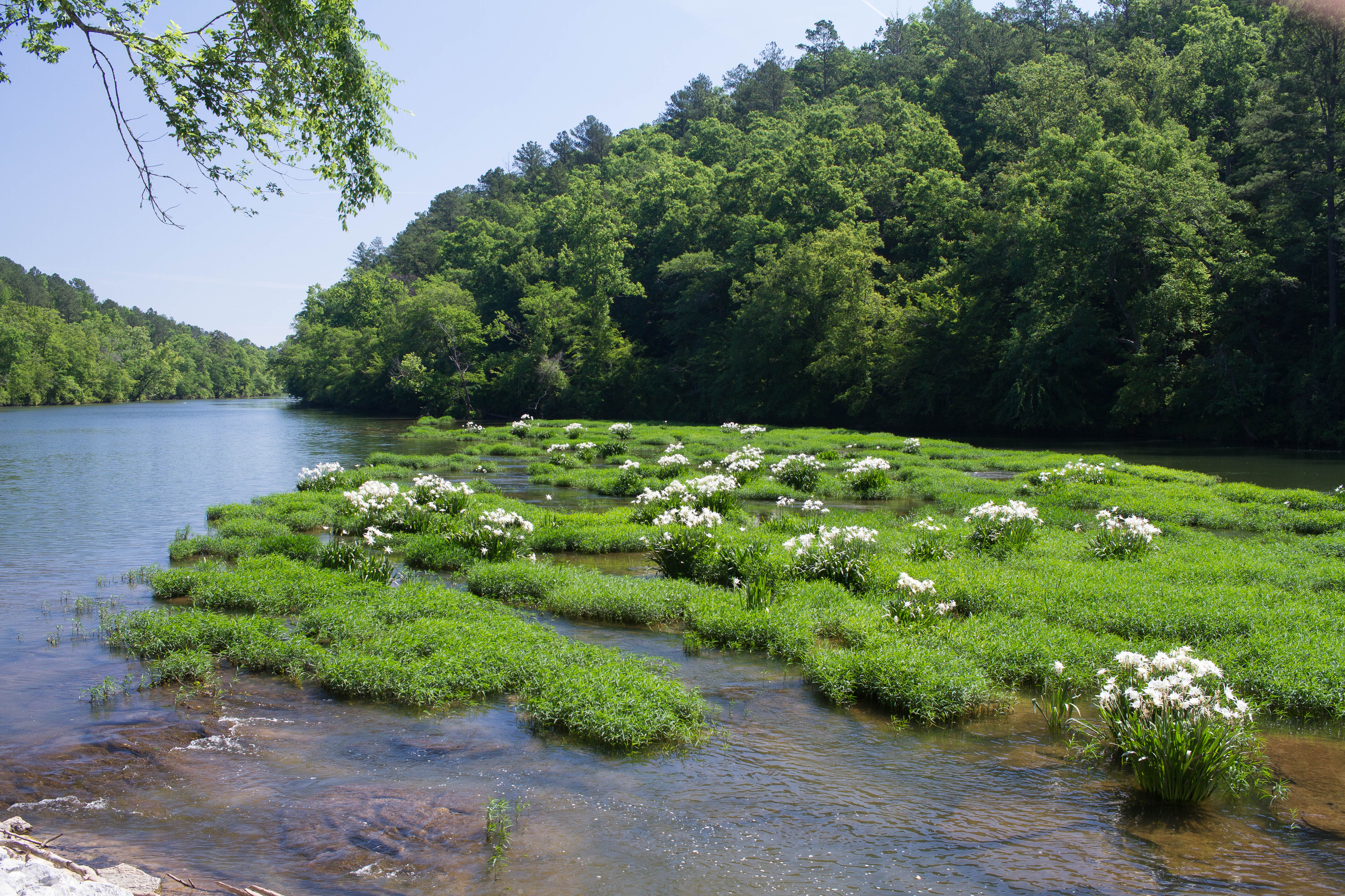
Cahaba River Lillies
100327 Centreville, AL
Topographic Map of Vernon Town Rd, West Blocton, AL, USA
Find elevation by address:

Places near Vernon Town Rd, West Blocton, AL, USA:
Vance Blocton Rd, West Blocton, AL, USA
Vance
10100 Brose Dr
Coaling
US-11, Cottondale, AL, USA
Duncanville
12172 Us-82
Judson Park Dr, Cottondale, AL, USA
Golden Acres Dr, Cottondale, AL, USA
Cottondale
Sherwood Forest, Duncanville, AL, USA
Peach Grove Rd, Tuscaloosa, AL, USA
14585 Zack Hewitt Rd
6th St E, Tuscaloosa, AL, USA
Forest Retreat Dr, Tuscaloosa, AL, USA
3307 Arcadia Dr
4527 18th Ave E
6 Forest Dr, Tuscaloosa, AL, USA
2826 14th St E
Woods & Water Inc
Recent Searches:
- Elevation of Corso Fratelli Cairoli, 35, Macerata MC, Italy
- Elevation of Tallevast Rd, Sarasota, FL, USA
- Elevation of 4th St E, Sonoma, CA, USA
- Elevation of Black Hollow Rd, Pennsdale, PA, USA
- Elevation of Oakland Ave, Williamsport, PA, USA
- Elevation of Pedrógão Grande, Portugal
- Elevation of Klee Dr, Martinsburg, WV, USA
- Elevation of Via Roma, Pieranica CR, Italy
- Elevation of Tavkvetili Mountain, Georgia
- Elevation of Hartfords Bluff Cir, Mt Pleasant, SC, USA