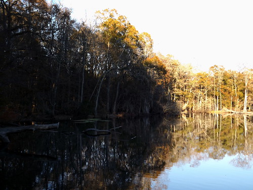
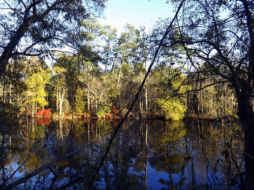
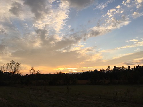
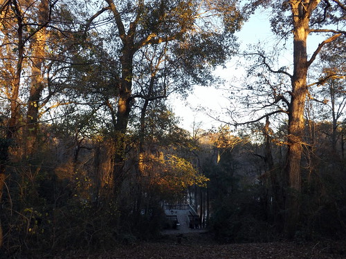
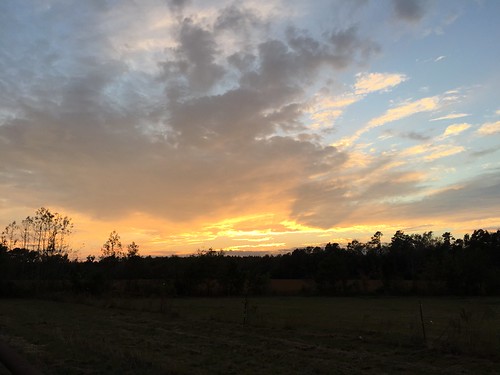
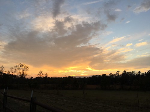
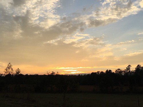
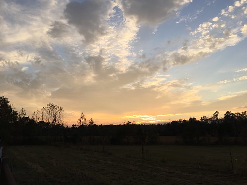
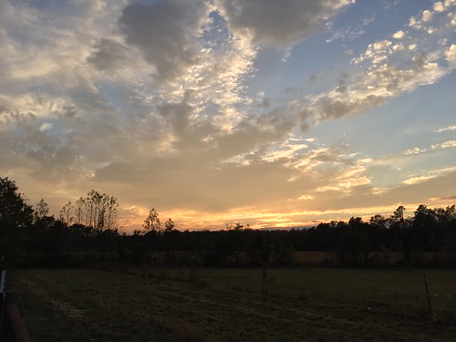
Elevation of Boardman, NC, USA
Location: United States > North Carolina > Columbus County > Tatums >
Longitude: -78.949195
Latitude: 34.4390555
Elevation: 27m / 89feet
Barometric Pressure: 101KPa
Related Photos:
Topographic Map of Boardman, NC, USA
Find elevation by address:

Places near Boardman, NC, USA:
Old U.S. 74, Evergreen, NC, USA
3471 Old Boardman Rd
Evergreen
S Creek Rd, Orrum, NC, USA
Porter Swamp
Princess Ann Rd, Chadbourn, NC, USA
Tatums
Tatums
Tatums
S Creek Rd, Orrum, NC, USA
Sterlings
9336 Andrew Jackson Hwy Sw
Barnesville
Braswell Rd, Chadbourn, NC, USA
Bird Cage Rd, Chadbourn, NC, USA
4553 Tobacco Rd
Fair Bluff
15 Mt Calvary Rd
Chadbourn
North Carolina 130
Recent Searches:
- Elevation of Corso Fratelli Cairoli, 35, Macerata MC, Italy
- Elevation of Tallevast Rd, Sarasota, FL, USA
- Elevation of 4th St E, Sonoma, CA, USA
- Elevation of Black Hollow Rd, Pennsdale, PA, USA
- Elevation of Oakland Ave, Williamsport, PA, USA
- Elevation of Pedrógão Grande, Portugal
- Elevation of Klee Dr, Martinsburg, WV, USA
- Elevation of Via Roma, Pieranica CR, Italy
- Elevation of Tavkvetili Mountain, Georgia
- Elevation of Hartfords Bluff Cir, Mt Pleasant, SC, USA
