Elevation of 15 Mt Calvary Rd, Clarkton, NC, USA
Location: United States > North Carolina > Bladen County > Brown Marsh > Clarkton >
Longitude: -78.786336
Latitude: 34.4430397
Elevation: -10000m / -32808feet
Barometric Pressure: 295KPa
Elevation Map:
Satellite Map:
Related Photos:

Way Up There

Day 289/365 - Catch Me If You Can

Long Hood Vision

Along the way we ate at BK

Scrapping Boxcars 2or3

The bike

The other bike
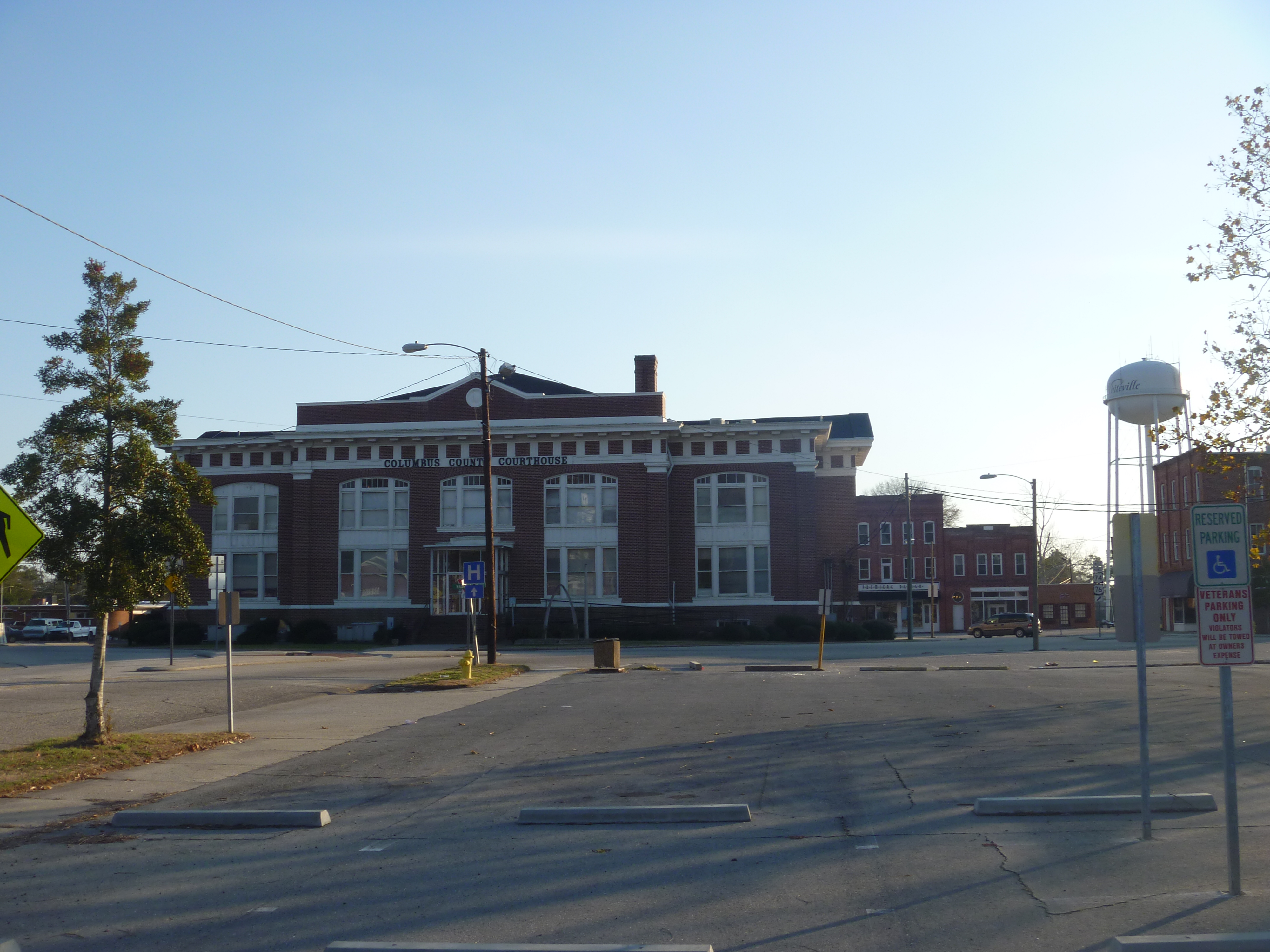
West Side View Of Columbus County Courthouse

Downtown Whiteville NC And Whiteville Water Tower

IMG_7020.JPG

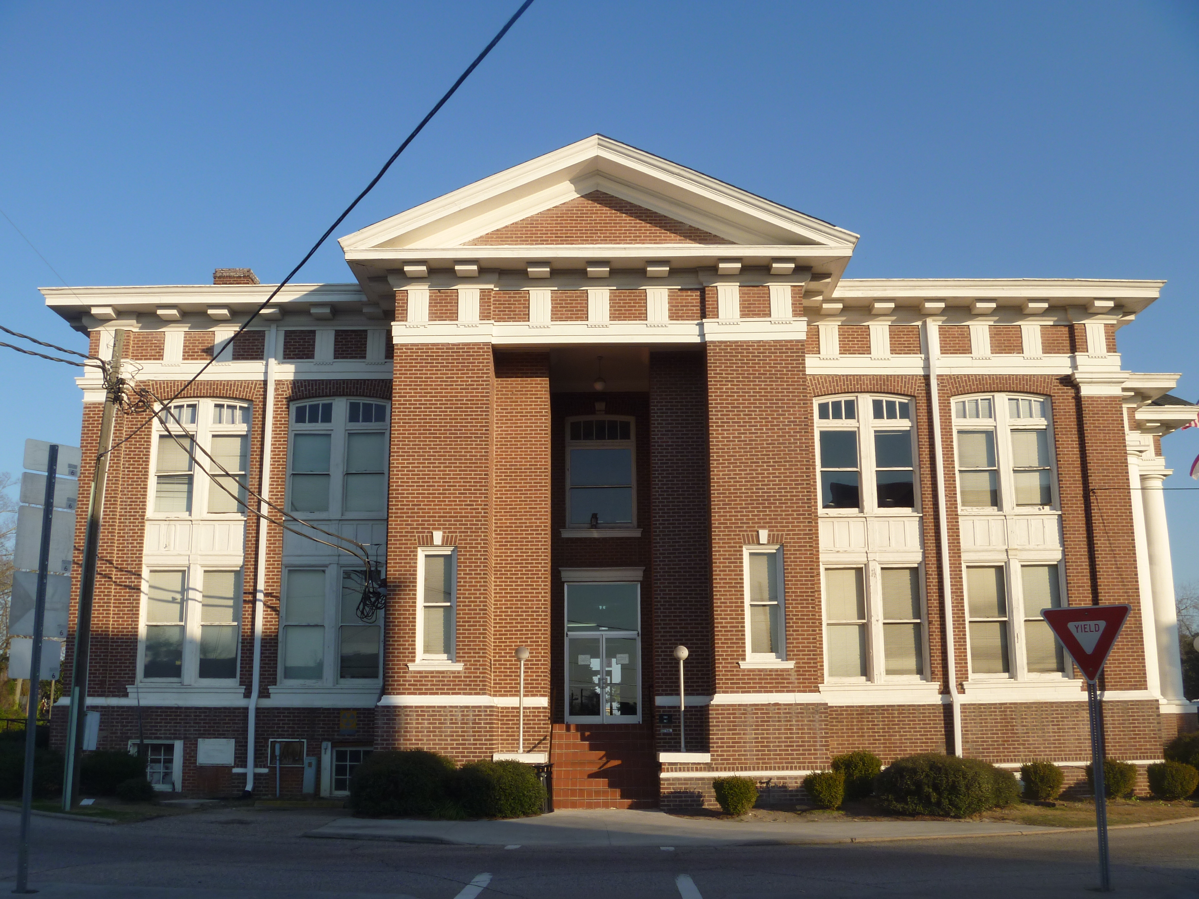
Front View Of Columbus County Courthouse

Northside View Of Columbus County Courthouse
Distant View Of The Rear Of Columbus County Courthouse And Downtown Whiteville

IMG_6528.JPG

IMG_6501.JPG

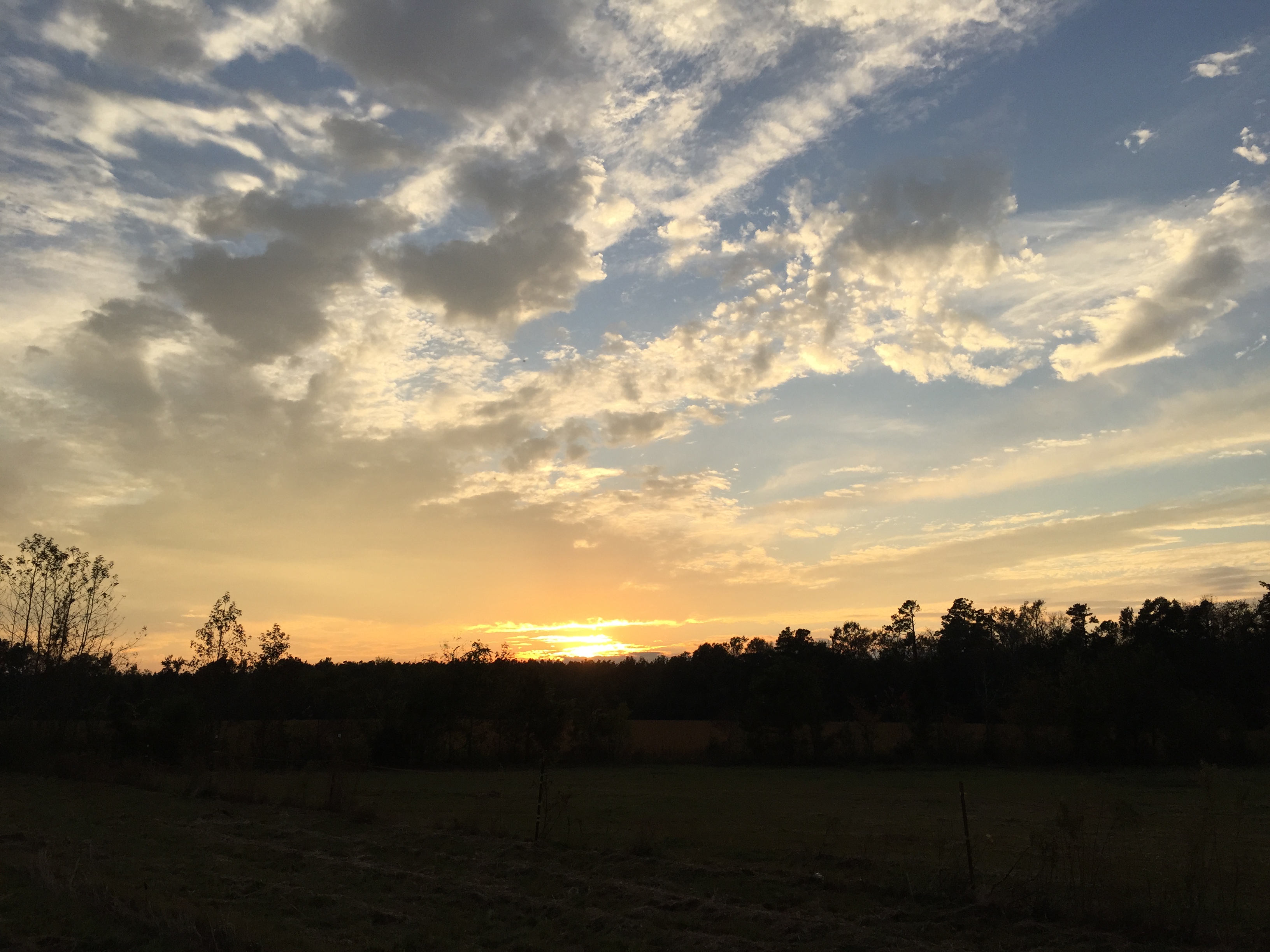
Sunset in Chadbourn, North Carolina

IMG_6516.JPG

IMG_6510.JPG

IMG_6520.JPG

IMG_6531.JPG

IMG_6524.JPG

IMG_6530.JPG

IMG_6507.JPG

IMG_6534.JPG

IMG_6526.JPG

IMG_6525.JPG

IMG_6527.JPG
IMG_6508.JPG

IMG_6515.JPG

IMG_6503.JPG

IMG_6513.JPG

IMG_6513.JPG

IMG_6518.JPG

IMG_6536.JPG
Topographic Map of 15 Mt Calvary Rd, Clarkton, NC, USA
Find elevation by address:

Places near 15 Mt Calvary Rd, Clarkton, NC, USA:
Tatums
Tatums
Tatums
Braswell Rd, Chadbourn, NC, USA
Bird Cage Rd, Chadbourn, NC, USA
206 Blanche St
Evergreen
North Carolina 130
501 E 1st Ave
East Railroad Avenue
Chadbourn
3471 Old Boardman Rd
Clarendon Chadbourn Rd, Chadbourn, NC, USA
Princess Ann Rd, Chadbourn, NC, USA
Chadbourn
Boardman
Old U.S. 74, Evergreen, NC, USA
Porter Swamp
9336 Andrew Jackson Hwy Sw
S Creek Rd, Orrum, NC, USA
Recent Searches:
- Elevation of Corso Fratelli Cairoli, 35, Macerata MC, Italy
- Elevation of Tallevast Rd, Sarasota, FL, USA
- Elevation of 4th St E, Sonoma, CA, USA
- Elevation of Black Hollow Rd, Pennsdale, PA, USA
- Elevation of Oakland Ave, Williamsport, PA, USA
- Elevation of Pedrógão Grande, Portugal
- Elevation of Klee Dr, Martinsburg, WV, USA
- Elevation of Via Roma, Pieranica CR, Italy
- Elevation of Tavkvetili Mountain, Georgia
- Elevation of Hartfords Bluff Cir, Mt Pleasant, SC, USA