Elevation of Bluebird Cir, Morristown, TN, USA
Location: United States > Tennessee > Hamblen County > Morristown >
Longitude: -83.375272
Latitude: 36.2158779
Elevation: 406m / 1332feet
Barometric Pressure: 97KPa
Elevation Map:
Satellite Map:
Related Photos:
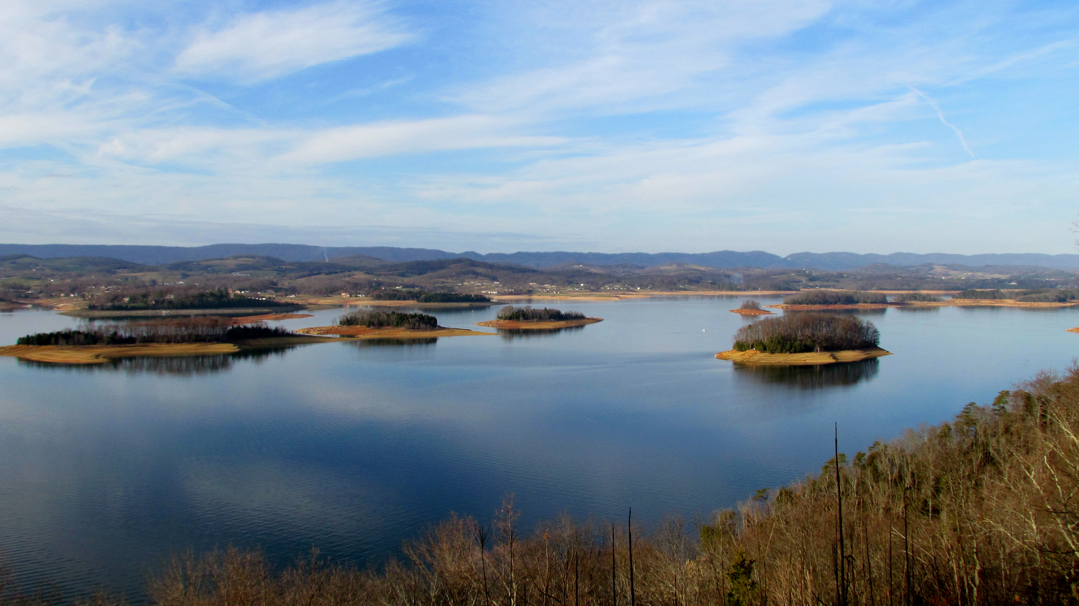
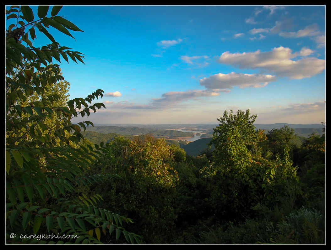
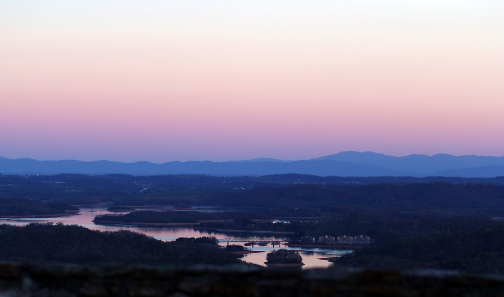
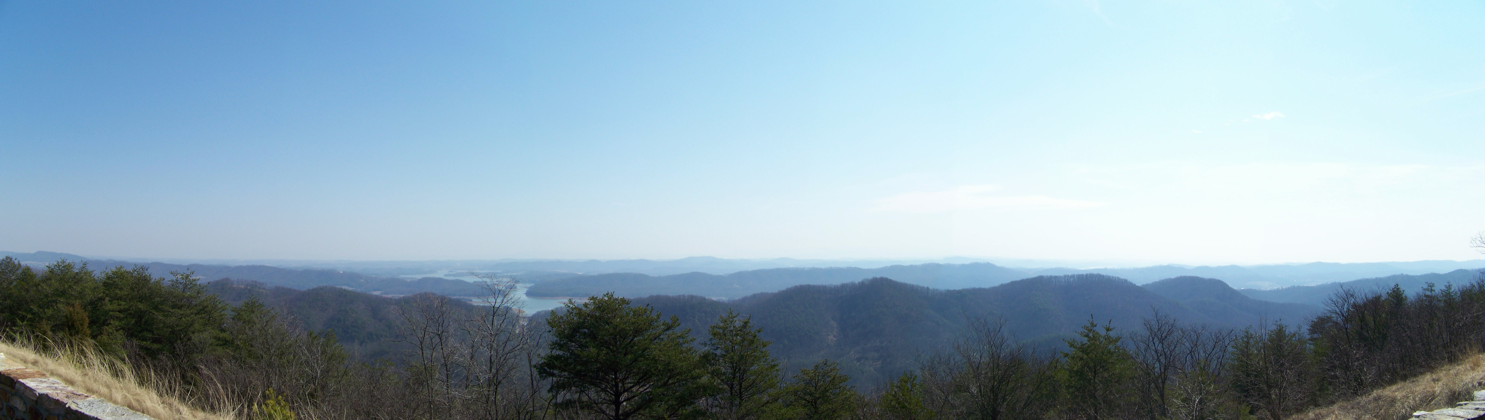
Cherokee Lake Panorama

Laura and Kelly enjoying the view in Tennessee.
2013.06.04.15 Grainger Co.
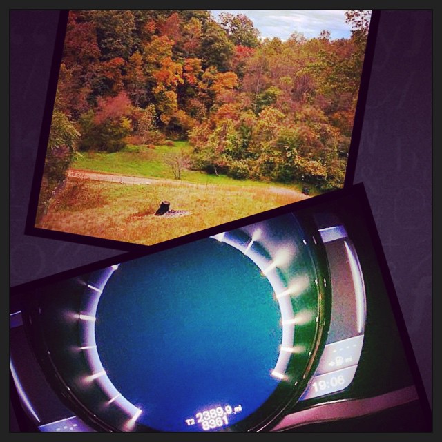
2390 miles later.. The eastbound leg of #roadtrip2014 has come to an end. And I am greeted with an awesome view from the deck of my family friends place.
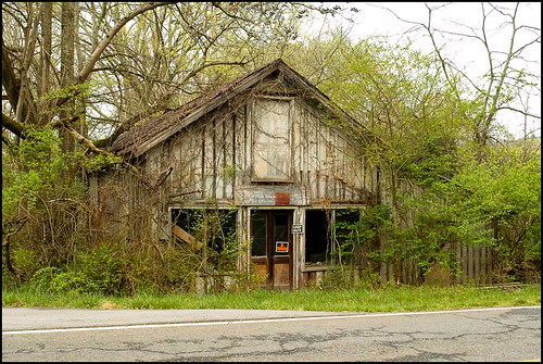
Mill Springs Store

Hag Moth Caterpillar side view
Mossy Creek WVA

Grainger County, TN Courthouse - Rutledge, TN
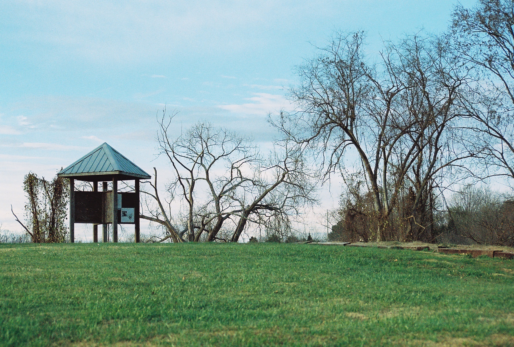
Mountain View

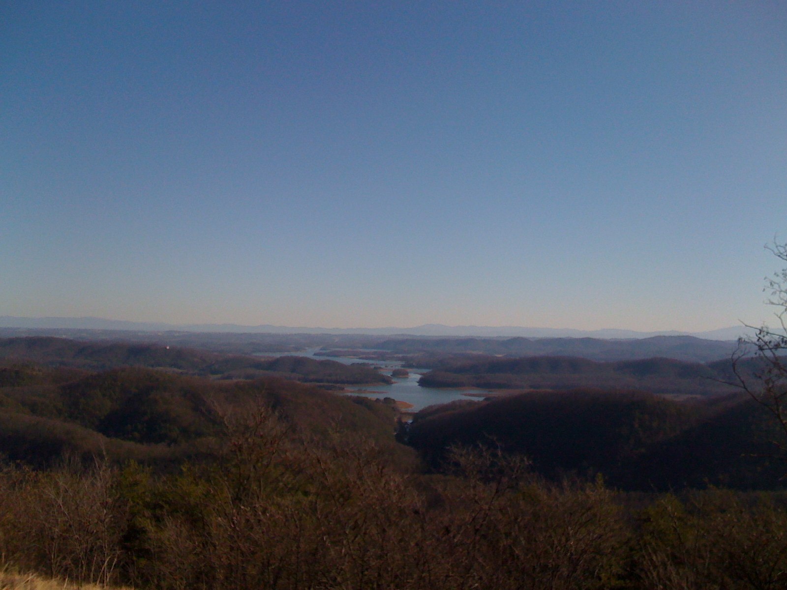
the view from Veterans Overlook near Bean Station
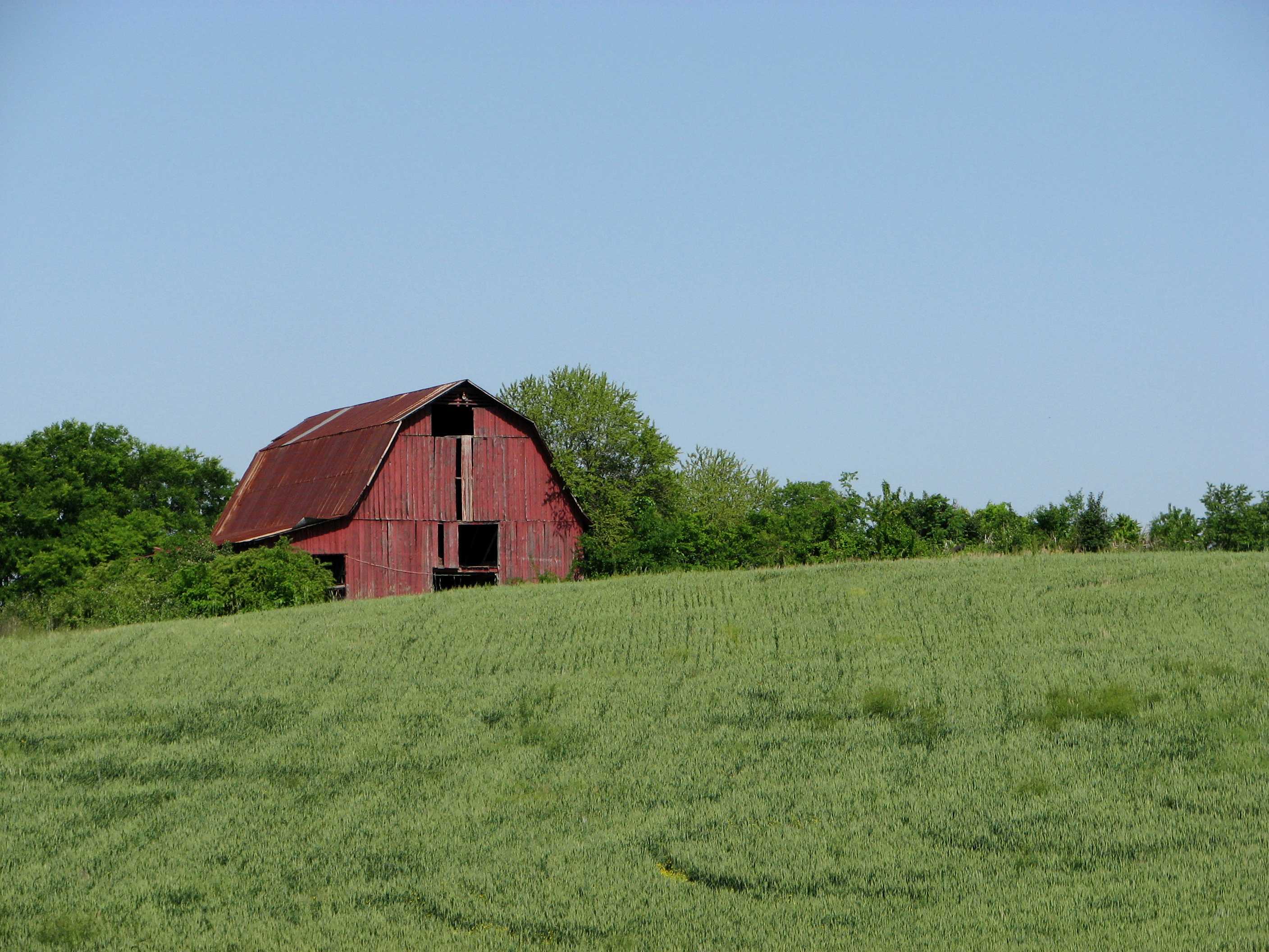
Red Barn on a Sea of Green.

Panther Creek trail

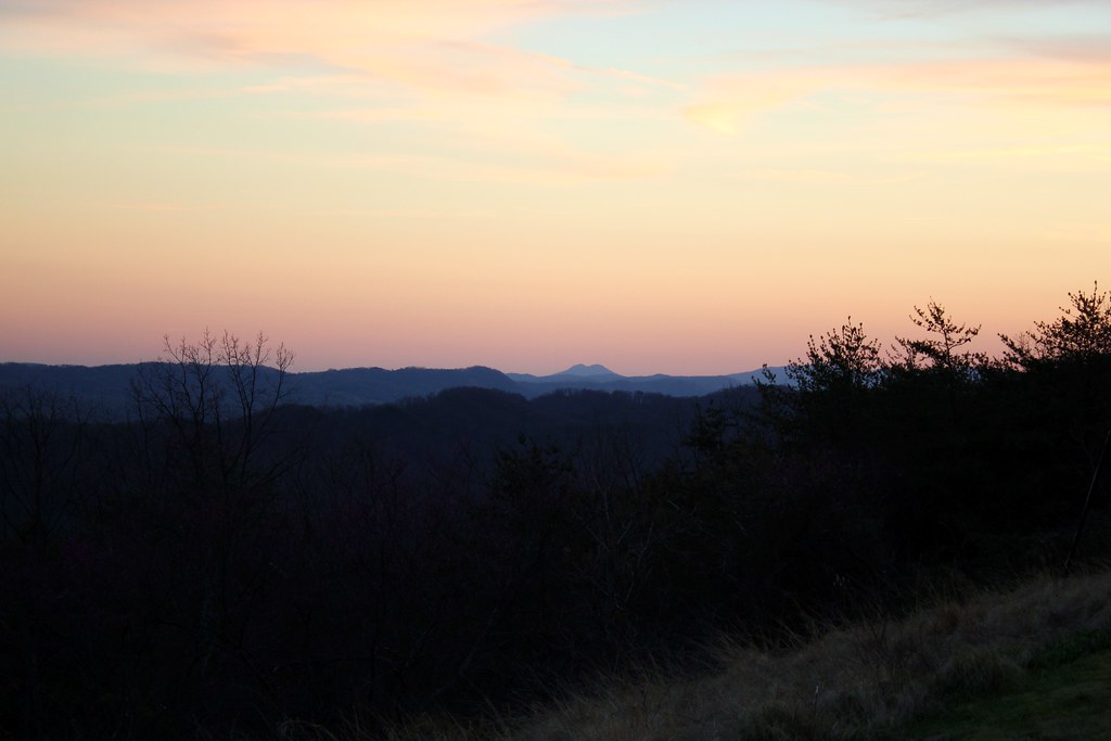
East Tennessee

Sunset on Cherokee Lake

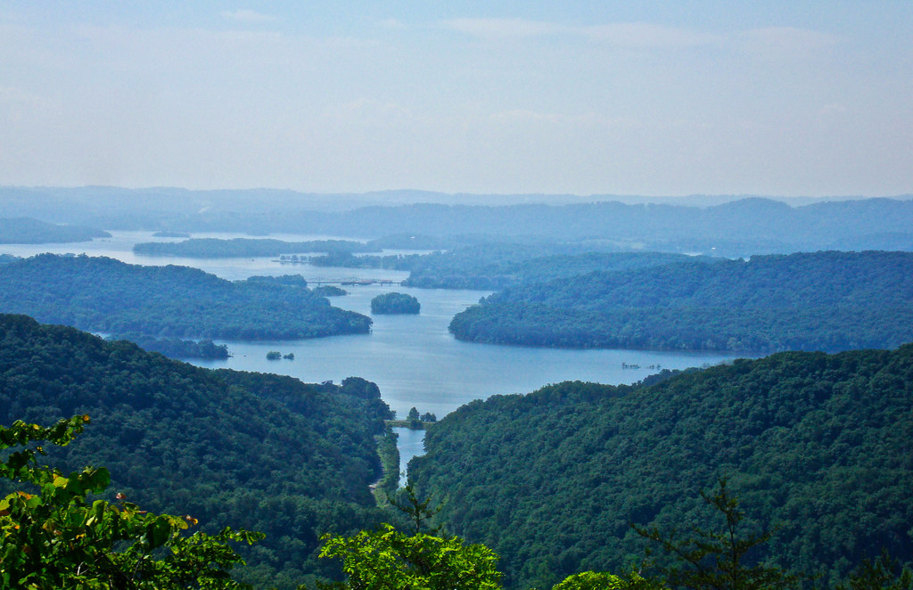
Cherokee Reservoir

Sunsets on Cherokee Lake
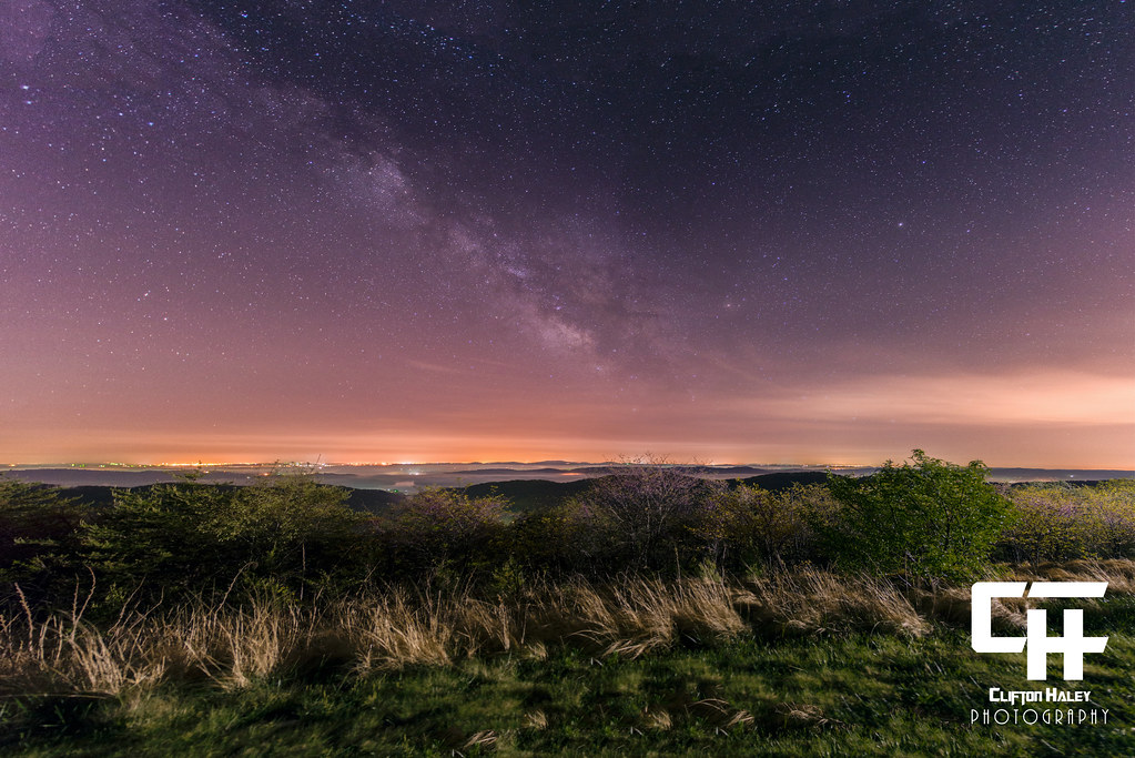
Milky Way Panorama - 12 Images

Grandmother’s Farm
Bristol TN/VA April 2011

woods(022)
Bristol TN/VA April 2011

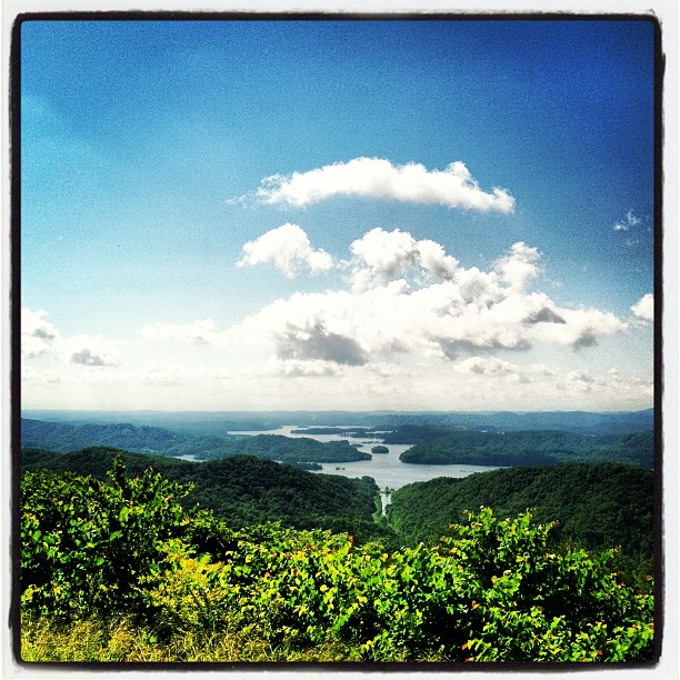
Cherokee Lake (1)

Lake_Cherokee-223.jpg
On the way to Morristown TN. Beautiful day and overlook. #travel
Bristol TN/VA May 17 2012
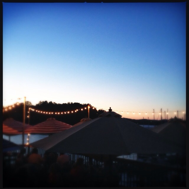
'brellas
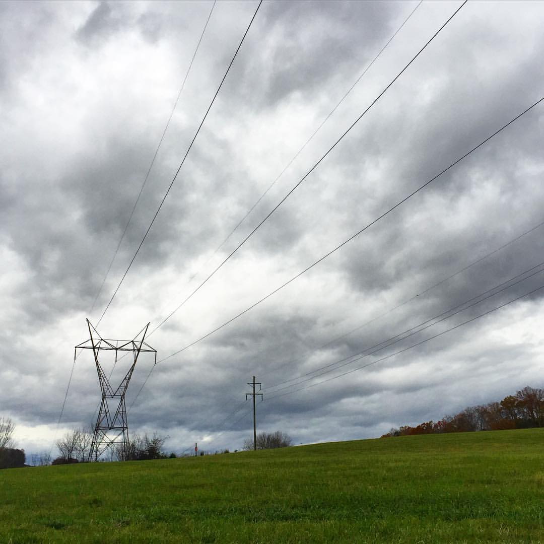
#stormyweather #clouds_of_our_world #cloudscape #fallweather
From Clinch Mtn overlook (1)

Thorn Hill, Tn
IMG_0121.JPG

Veteran's Overlook
Bristol TN/VA April 2011
Topographic Map of Bluebird Cir, Morristown, TN, USA
Find elevation by address:

Places near Bluebird Cir, Morristown, TN, USA:
1412 Joe Stephens Rd
2150 Joe Stephens Rd
Crockett Ridge Road
Morristown, TN, USA
Dalton Knob
Riverview Rd, Bean Station, TN, USA
Wani- Village Rd, Rutledge, TN, USA
Tomahawk Hill Rd, Morristown, TN, USA
2139 Lakeshore Dr
Wildcat Road
150 Meadow Run
1428 Rocky Flat Rd
Village Ln, Bean Station, TN, USA
164 Village Ln
595 Smokey Rd
Lookout Mountain Road
596 Spoone St
Thorn Hill
Rutledge
Rutledge, TN, USA
Recent Searches:
- Elevation of Corso Fratelli Cairoli, 35, Macerata MC, Italy
- Elevation of Tallevast Rd, Sarasota, FL, USA
- Elevation of 4th St E, Sonoma, CA, USA
- Elevation of Black Hollow Rd, Pennsdale, PA, USA
- Elevation of Oakland Ave, Williamsport, PA, USA
- Elevation of Pedrógão Grande, Portugal
- Elevation of Klee Dr, Martinsburg, WV, USA
- Elevation of Via Roma, Pieranica CR, Italy
- Elevation of Tavkvetili Mountain, Georgia
- Elevation of Hartfords Bluff Cir, Mt Pleasant, SC, USA