Elevation of Blue River, Oregon, USA

Location: United States > Oregon > Lane County > Mckenzie Bridge >

Longitude: -122.21942

Latitude: 44.2561953

Elevation: 534m / 1752feet

Barometric Pressure: 95KPa

Elevation Map:

elevation map of Blue River, Oregon, USA

Satellite Map:

Satellite map of Blue River, Oregon, USA

Related Photos:

macro oregon bee pacificnorthwest wildflowers penstemon lanecounty pollinator willamettenationalforest top20flowersandbugs top2020 tidbitsmountain top20bugsandblossoms
Busy Bee
nature oregon waterfall northwest or falls nationalforest waterfalls cascades pacificnorthwest americanwest monopod koosah koosahfalls mckenzieriver willamettenationalforest randomnature highway126 50150mm onblackbackground sigma50150mmf28 sigma50150 or07 random6
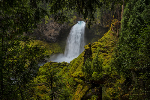
Koosah Falls
nature oregon landscape northwest or falls nationalforest waterfalls cascades pacificnorthwest americanwest monopod naturallandscape mckenzieriver sahaliefalls sahalie willamettenationalforest randomnature highway126 tamron1750 1750mm tamronspaf1750mmf28xrdiiildasphericalif or07 random6
Sahalie Falls
uploaded:by=flickrmobile flickriosapp:filter=nofilter
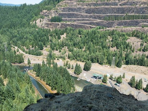
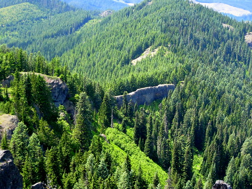
View from Carpenter Mountain Lookout
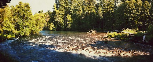
water oregon river mckenzieriver project365 mckenziebridge stbenedictlodge
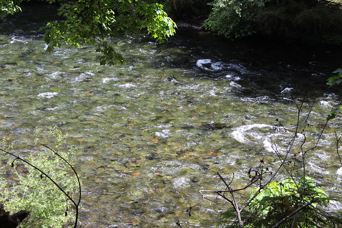
McKenzie River
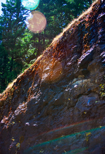
june rock oregon forest canon geotagged eos rebel rainbow roots driveby reservoir eugene lensflare monthlyscavengerhunt cougar 2009 28135mm xsi img7500 orygun february2010 foundinorygun iloveitwhensomebodyelsedrives geo:lat=44133681 geo:lon=122248649 0210sh13
Light into Rock and then Life
uploaded:by=flickrmobile flickriosapp:filter=nofilter
View North from Carpenter Mountain lookout
nikon theater retreat 2012 mackenzieriver faithhealer d7000
Mackenzie River View
dam biketour cougarreservoir aufderheide
View from the top of the Cougar Reservoir dam.
View from the Carpenter Mountain Lookout
rockslide mttidbits
Sliding up a Tidbit
black bear den
june oregon canon landscape geotagged eos rebel reservoir eugene cougar 2009 28135mm xsi img7498 orygun foundinorygun iloveitwhensomebodyelsedrives geo:lat=4413054 geo:lon=122246332
Drive-By-Scapes
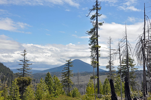
oregon forest forestfire blackbutte bbcomplexfire
View to the Right
oregon forest forestfire blackbutte bbcomplexfire
View to the Left
View from the Carpenter Mountain Lookout
forest rocks mttidbits
The Tidbits
trees valley rockwall ridges
The Ents Go Marching Two by Two
mckenzie river national recreation trail bridge deer scott boulder willamette forest belknap springs oregon hiking creek
View downhill to the McKenzie
View from my room
View from the Carpenter Mountain Lookout
saariysqualitypictures olalliecreek oregon foliage
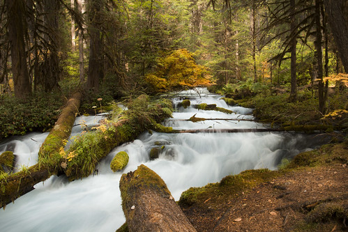
Fall color at Olallie Creek, Oregon
oregon waterfall pacificnorthwest proxyfalls upperproxyfalls d7000
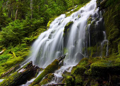
Upper Proxy Falls
mygearandme
lower proxy falls, Or. 10-02-11
oregon river landscapes waterfalls
Oregon #2
trees cloud lake nature fog landscape outdoor
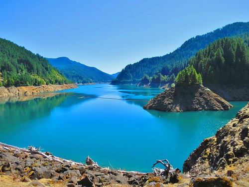
Cougar Reservoir
longexposure nature oregon centraloregon reflections landscape outdoors nikon northwest bend scenic lagoon le fullframe fx d800 waterscape mckenzieriver mckenziehighway nikond800 leebigstopper nikonafsnikkor1635mmf4gedvrn
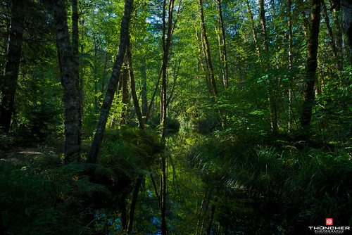
Lost Lagoon
cougardam oregon usa heartawards
Cougar Dam and Lake, Hwy 19, OR
mckenzie national recreation trail river highway belknap hot springs resort oregon hiking willamette forest autumn colors vine maple
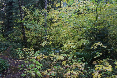
Yellow was the color of the day
mckenzie national recreation trail river highway belknap hot springs resort oregon hiking willamette forest autumn colors vine maple
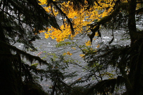
Occasionally we caught a glimpse of the McKenzie River
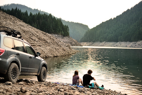
forester subaru sh offroad softroading softroadingthewest blueriver lake beach
at Blur River Reservoir
Cougar Hot Springs (Terwilliger)
mckenzie national recreation trail river highway belknap hot springs resort oregon hiking willamette forest autumn colors vine maple
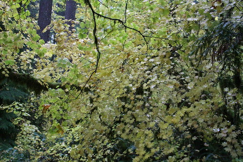
Soaking wet vine maples
Rocky roost
square squareformat iphoneography instagramapp uploaded:by=instagram foursquare:venue=520bb29411d24ce6fa02b052
Proxy Falls, Williamette National Forest, Oregon
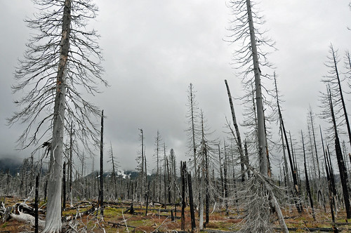
oregon forestfire firedamage deadtrees bbcomplex bbcomplexfire
White Trees