Elevation of Blue Ridge Dr, Springville, CA, USA

Location: United States > California > Tulare County > Springville >

Longitude: -118.76923

Latitude: 36.2744878

Elevation: 1001m / 3284feet

Barometric Pressure: 90KPa

Elevation Map:

elevation map of Blue Ridge Dr, Springville, CA, USA

Satellite Map:

Satellite map of Blue Ridge Dr, Springville, CA, USA

Related Photos:

twohawks redtailedhawksinwinter
Scanning the meadow for dinner
redtailedhawk
I Got Too Close... For Him - #4 of 100 Critters
rides iphone iflickr
Great view
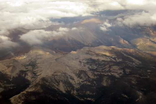
centralcalifornia bluehighways mediterraneanclimate forestfiresmoke balchpark pentaxda1855mmkitlens uppersonoranzone
IMGP8391 - Forest Fire Smoke
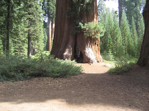
california camping geocaching mistletoe redwoods sequoianationalforest sequoias bearcreekroad tularecounty balchpark mountainhomestateforest
GC17N4N - Mistletoe
centralcalifornia bluehighways giantsequoianationalmonument mediterraneanclimate forestfiresmoke balchpark pentaxda1855mmkitlens uppersonoranzone
IMGP8397_Balch_Park-California
MounHome-58.jpg
centralcalifornia bluehighways mediterraneanclimate forestfiresmoke balchpark pentaxda1855mmkitlens uppersonoranzone
IMGP8385 - backcountry Forest Fire smokes drifting out
california camping geocaching mistletoe redwoods sequoianationalforest sequoias bearcreekroad tularecounty balchpark mountainhomestateforest
GC17N4N - Mistletoe
the view from Yokohl Valley Road
view of the foothills from Yokohl Valley Road
the view from Yokohl Valley Road in the California foothills
aldercreekgrove america california canonrebelt3i forest giantsequoianationalmonument jfflickr mountain nationalpark nature painting photosbydavid plant postedonflickr postedonsmugmug sequoiacrest tree tularecounty unitedstates usa springville
Break In The Canopy
sierranevada california goldentroutwilderness mineralking sequoianationalpark sequoiakingscanyonwilderness
Monsoon light over the Golden Trout
aldercreekgrove america canonrebelxsi cloud family jfflickr micheleandersongiboney mountain nature paulgiboney people photosbydavid plant postedonflickr postedong postedoninstagram postedonsmugmug sequoiacrest shariandersonseibold tree tularecounty unitedstates usa
Not Quite Sheltered
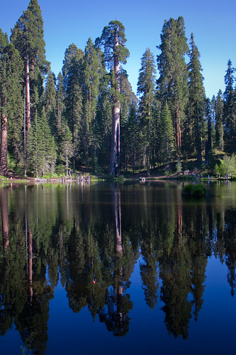
trees lake reflection sequoia
Sequoia Reflections
BPT Half to Summit Lake 8-30 to 9-01 (20)
goldentroutwilderness sierranevada california sequoianationalpark sequoiakingscanyonwilderness farewellgap
Thunderstorm over the Great Western Divide
aldercreekgrove america california canonrebelxsi cloud giantsequoias jfflickr mountain nature painting photosbydavid plant postedonflickr postedonsmugmug sequoiacrest tree tularecounty unitedstates usa
Weighty Situation
BPT Half to Summit Lake 8-30 to 9-01 (92)
abandonedvehicle aldercreekgrove america canonrebelt3i decay forest forestdecay giantsequoianationalmonument jfflickr landscapephotography landscapes mountain nature photosbydavid plant postedonflickr postedong postedonsmugmug sequoiacrest tree tularecounty unitedstates usa vehicle vehicledecay springville california
Lost And Found
rides iphone iflickr
Northern part of the river
Tulare County Foothills
BPT Half to Summit Lake 8-30 to 9-01 (17)
mosesmountain sierranevada southernsierra california greatwesterndivide
Last light on Moses Mountain
reflections lakes
Circle J Ranch
california camping winter snow nature canon desert calif campwishon tuleriver canonpowershotsd900 sequoianatlforest wdbones99
Camp Wishon, Sequoia Nat'l. Forest
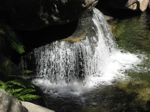
camping sequoia hiddenfalls balchpark
IMG_3527.JPG
Yokohl Valley
MounHome-36.jpg