Elevation of Blaisdell Farm Road, Blaisdell Farm Rd, Sutton, NH, USA
Location: United States > New Hampshire > Merrimack County > Bradford >
Longitude: -71.927043
Latitude: 43.2845973
Elevation: 278m / 912feet
Barometric Pressure: 98KPa
Elevation Map:
Satellite Map:
Related Photos:

Lake Todd

Northern Wheatear - Warner, NH

A cloud shrouded Mount Kearsarge view from the trail...

alpha fork
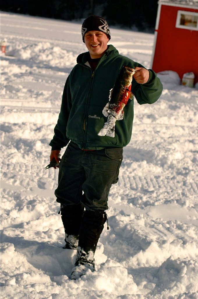
Last minutes of the derby.

DALTON BRIDGE

Lempster NH Wind Turbines

hi dad

Mount Kearsage View North _dsc4370-pan-1000

Duck Pond Lane

When Nature has work to be done, she creates a genius to do it...

Mount Kearsarge View West _dsc4360-pan-1000

Burned out colonial on Little Hill Rd.

Do Not Hump

Foliage and Hills

Mount Kearsarge from New London
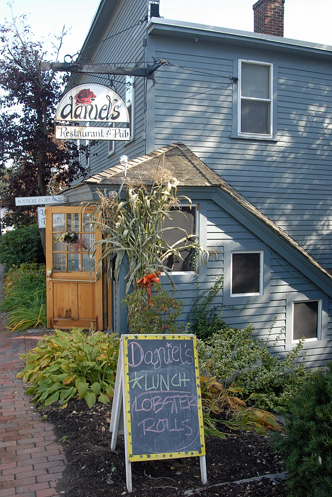
Daniel's Restuaurant & Pub in Henniker, New Hampshire

Year three begins now
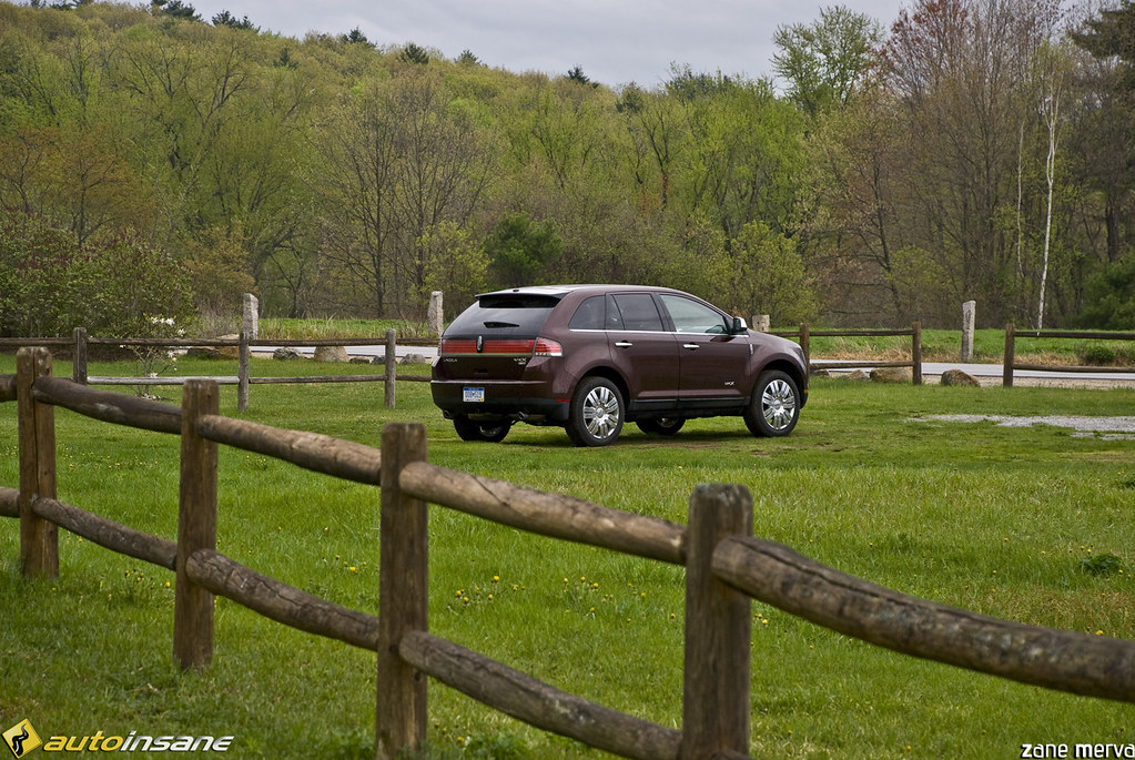
Lincoln MKX - Fence & Field

pastoral view at The Fells

Kearsarge Hike - October 2007
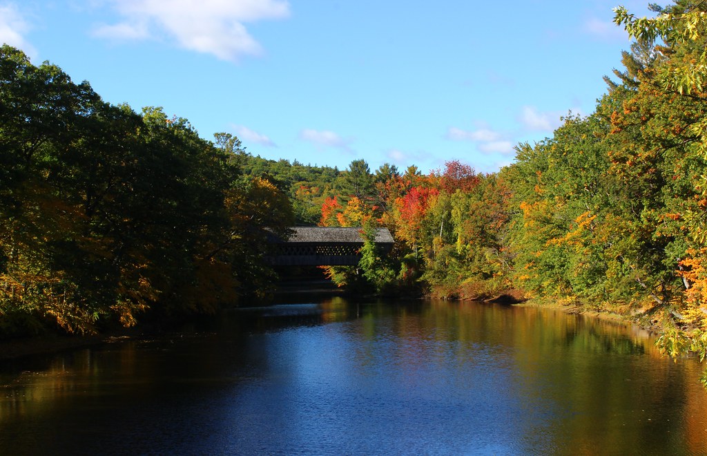
Henniker Covered Bridge in Henniker, New Hampshire
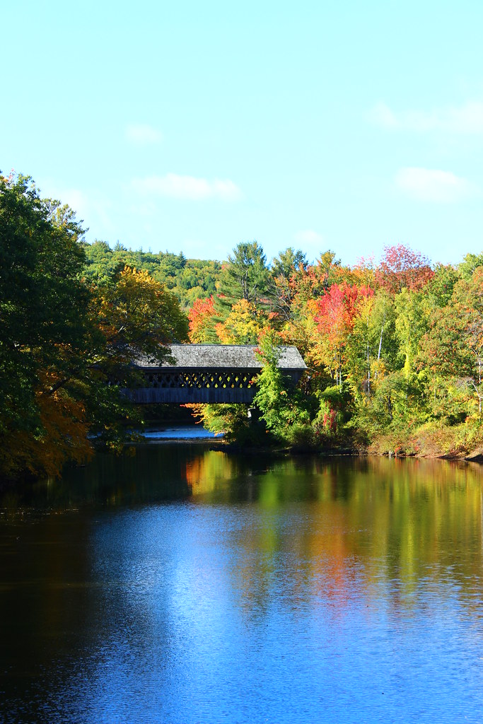
Henniker Covered Bridge in Henniker, New Hampshire

Dalton Bridge

Tranquil spot

Looking Out from Mt Kearsarge

Abandoned House III

Lake Sunapee cruiser MV Kearsarge

Kezar Lake

lawn, field and forest

Mt. Kearsarge

Mt Kearsarge State Forest Park, New Hampshire

Mt Kearsarge State Forest Park, New Hampshire

I would rather wake up in the middle of nowhere than in any city on earth... [explored]

Sunset at Blodgett Landing 08/2016

Fall at Waterloo

Marty The Moose

Upstream II

Gleason Falls Bridge
Topographic Map of Blaisdell Farm Road, Blaisdell Farm Rd, Sutton, NH, USA
Find elevation by address:

Places near Blaisdell Farm Road, Blaisdell Farm Rd, Sutton, NH, USA:
15 Melvin Rd, Warner, NH, USA
405 Roby Rd
Connecticut River
Bradford
NH-, Warner, NH, USA
Lake Massasecum
926 Nh-114
25 Sunset Hill Rd
67 Circle View Dr
Sutton
412 Eaton Grange Rd E
Nelson Hill Road South
32 Gile Pond Rd
323 Fairgrounds Rd
Old Post Rd, Newbury, NH, USA
212 Baker Hill Rd
116 S Rd
South Road
186 Kearsarge Valley Rd
229 Old Post Rd
Recent Searches:
- Elevation of Corso Fratelli Cairoli, 35, Macerata MC, Italy
- Elevation of Tallevast Rd, Sarasota, FL, USA
- Elevation of 4th St E, Sonoma, CA, USA
- Elevation of Black Hollow Rd, Pennsdale, PA, USA
- Elevation of Oakland Ave, Williamsport, PA, USA
- Elevation of Pedrógão Grande, Portugal
- Elevation of Klee Dr, Martinsburg, WV, USA
- Elevation of Via Roma, Pieranica CR, Italy
- Elevation of Tavkvetili Mountain, Georgia
- Elevation of Hartfords Bluff Cir, Mt Pleasant, SC, USA