Elevation of Blair Lake Campground, Oakridge, OR, United States
Location: United States > Oregon > Lane County >
Longitude: -122.24133
Latitude: 43.8369977
Elevation: 1451m / 4760feet
Barometric Pressure: 85KPa
Elevation Map:
Satellite Map:
Related Photos:
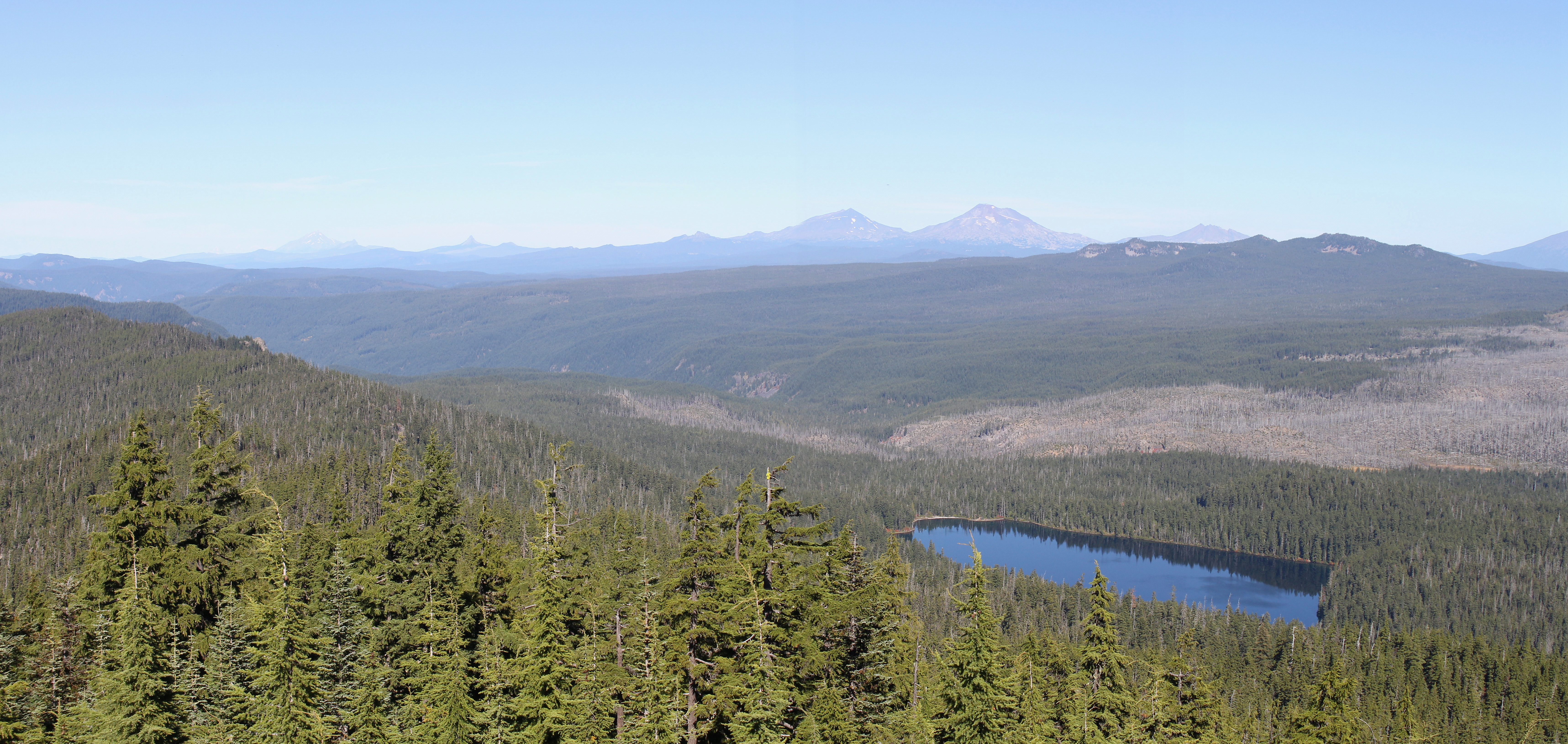
Awesome view of Lower Eddeeleo Lake and the Cascades from the Three Sisters to Mount Jefferson
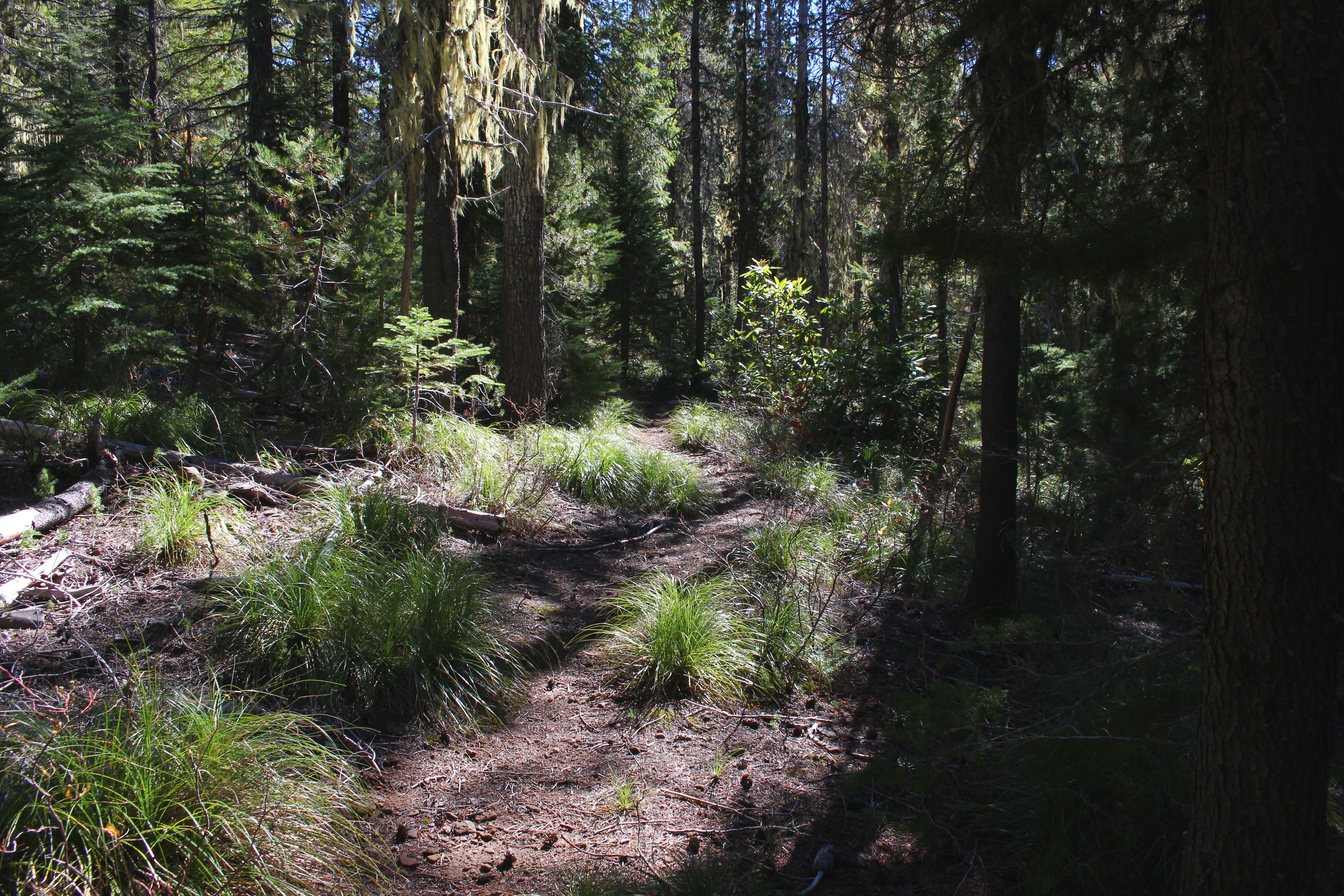
Beargrass and trail was my view for most of the day
The Wages of Risky Walks are Great Views
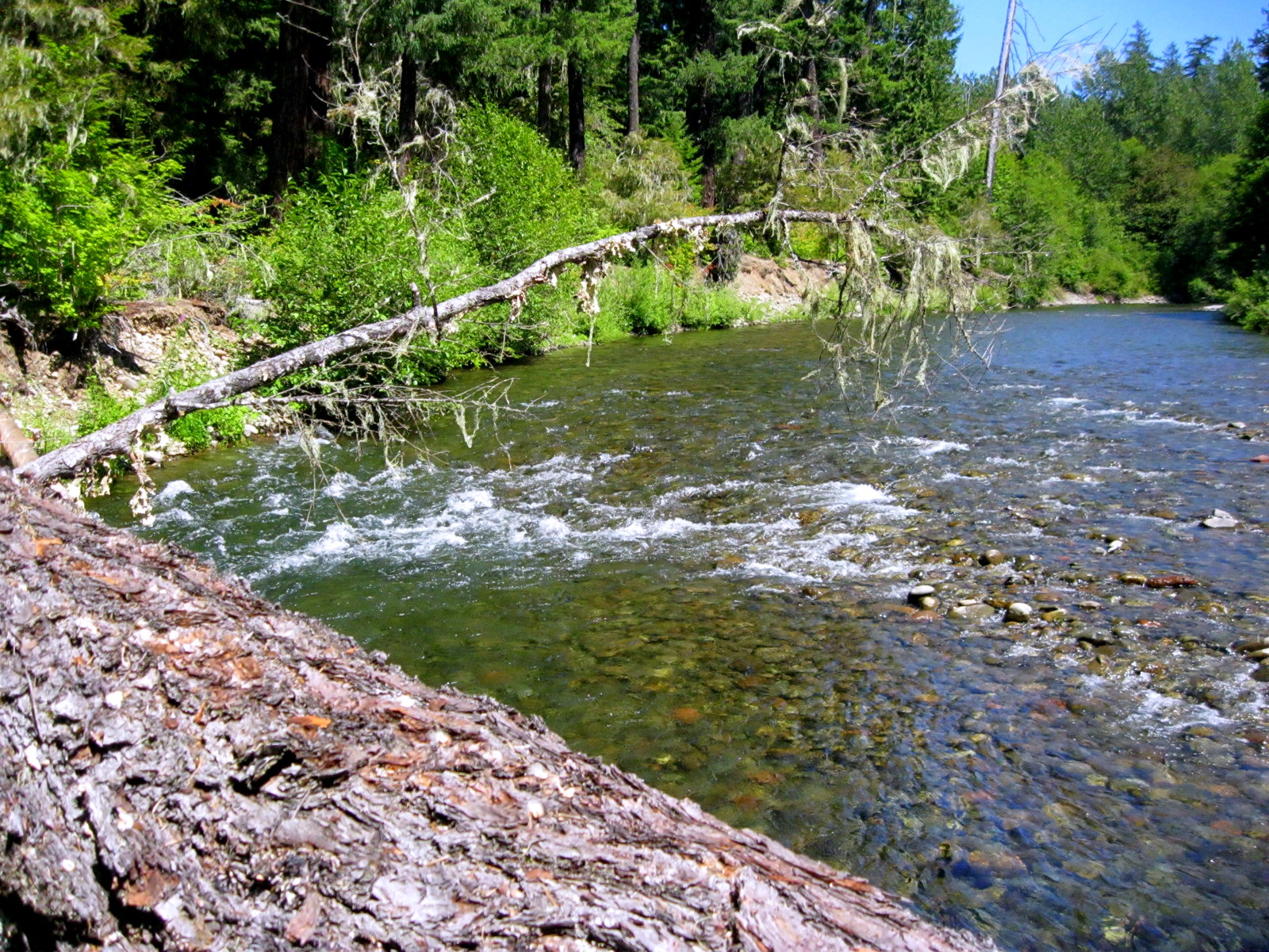
The Babbling Brook Does So Loudly
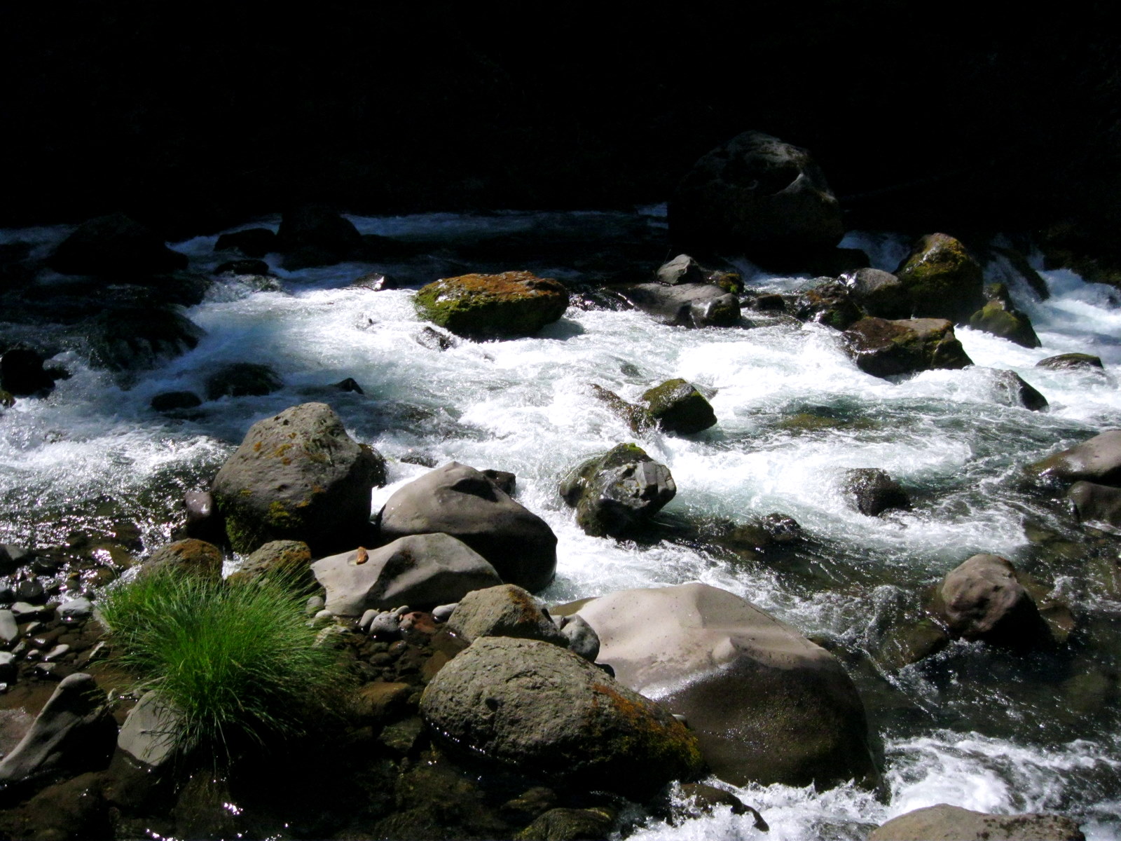
Random Unnamed Streams
Topographic Map of Blair Lake Campground, Oakridge, OR, United States
Find elevation by address:

Places near Blair Lake Campground, Oakridge, OR, United States:
Mccredie Springs
Blue Pool Campground
Waldo Lake
Willamette Pass Resort - Ski Area
52281 Mckenzie Hwy
51998 Mckenzie Hwy
Rainbow
Blue River
54432 Mckenzie Hwy
91950 Nf-2633
91950 Nf-2633
Blue River Reservoir
Mckenzie Bridge
Maiden Peak
56640 Or-126
56640 Mckenzie Hwy
56640 Mckenzie Hwy
56640 Mckenzie Hwy
56965 Mckenzie Hwy
Willamette National Forest
Recent Searches:
- Elevation of Corso Fratelli Cairoli, 35, Macerata MC, Italy
- Elevation of Tallevast Rd, Sarasota, FL, USA
- Elevation of 4th St E, Sonoma, CA, USA
- Elevation of Black Hollow Rd, Pennsdale, PA, USA
- Elevation of Oakland Ave, Williamsport, PA, USA
- Elevation of Pedrógão Grande, Portugal
- Elevation of Klee Dr, Martinsburg, WV, USA
- Elevation of Via Roma, Pieranica CR, Italy
- Elevation of Tavkvetili Mountain, Georgia
- Elevation of Hartfords Bluff Cir, Mt Pleasant, SC, USA