Elevation of Black Buttes, California, USA
Location: United States > California > Nevada County >
Longitude: -120.55771
Latitude: 39.3949017
Elevation: 2435m / 7989feet
Barometric Pressure: 75KPa
Elevation Map:
Satellite Map:
Related Photos:

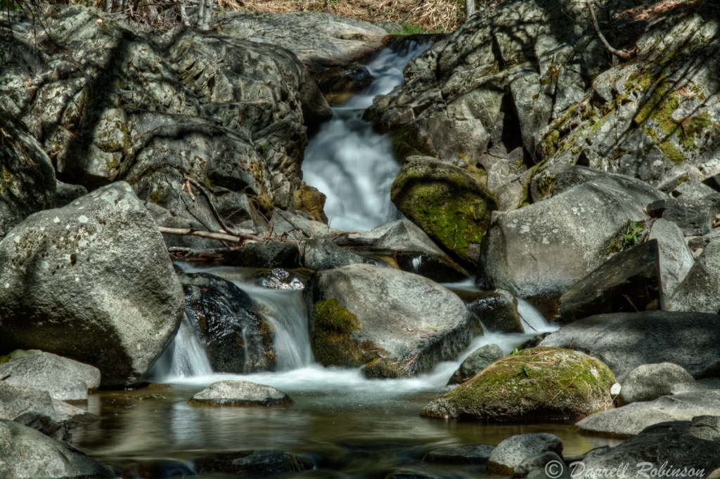
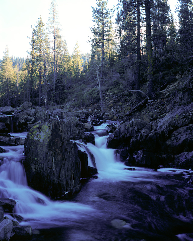
More Bear River Falls
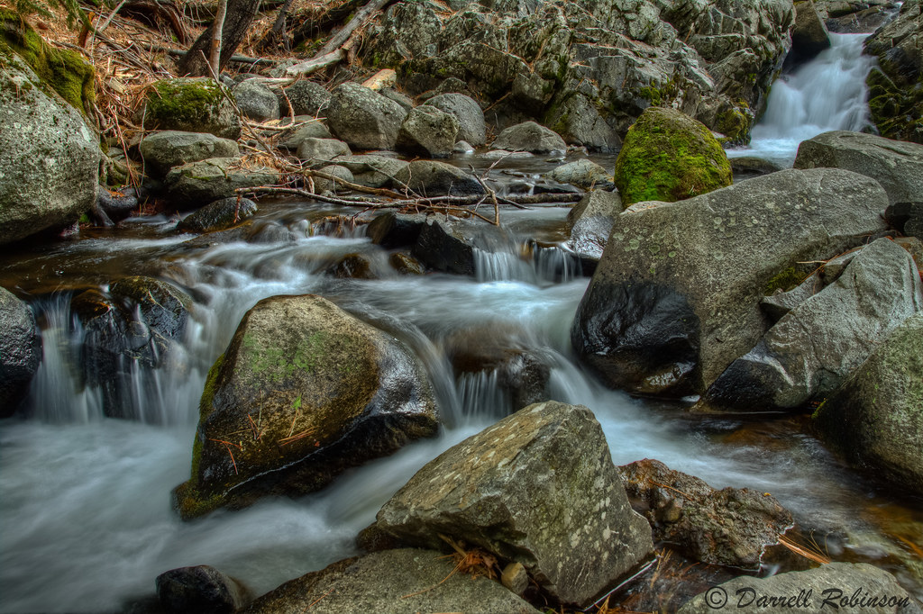
Bear River Cascades

Flowing Cascades

Bear River Falls
Back to the Bear
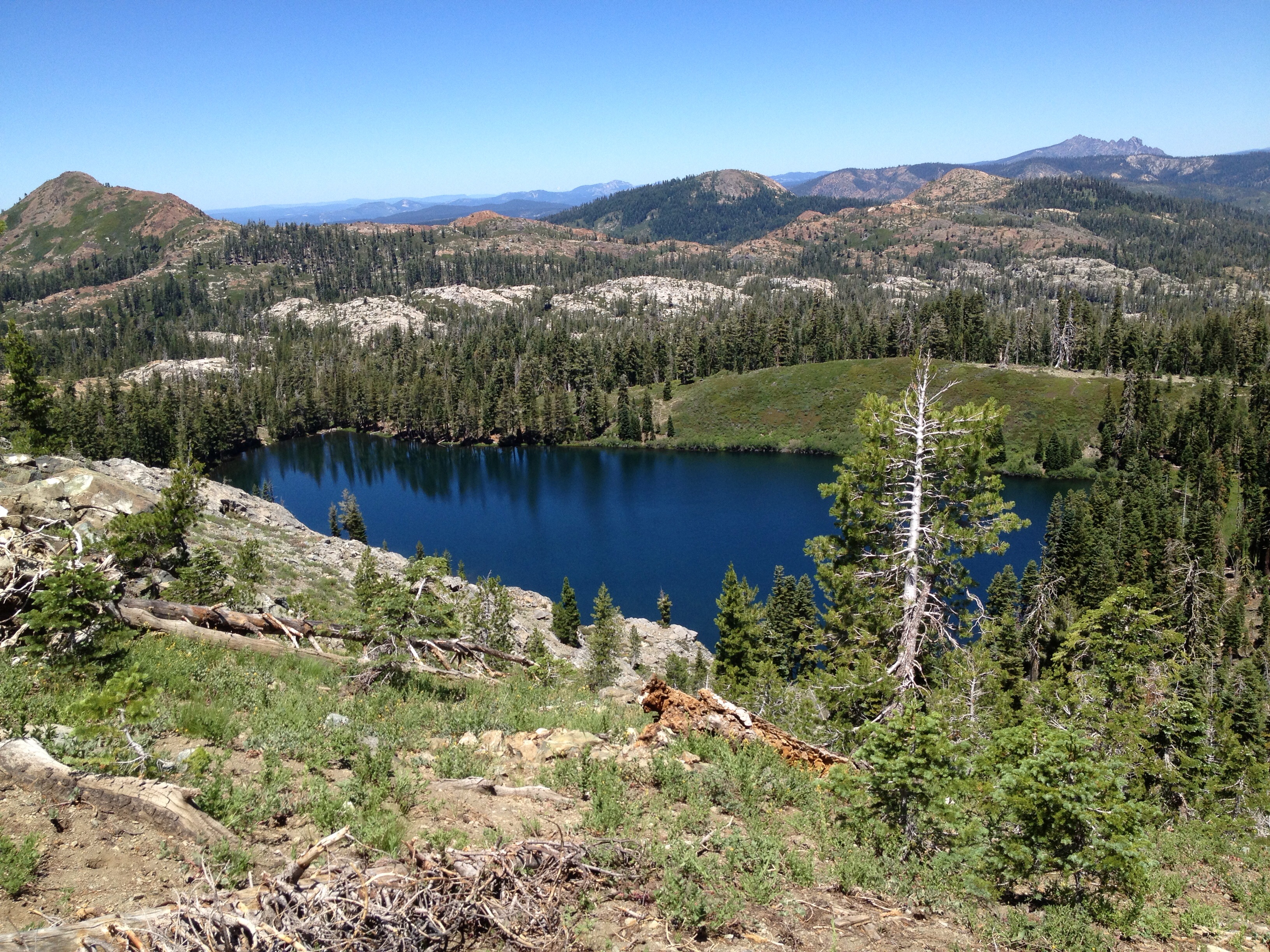
340/365 ~ Milk Lake #grouseridge #hiking
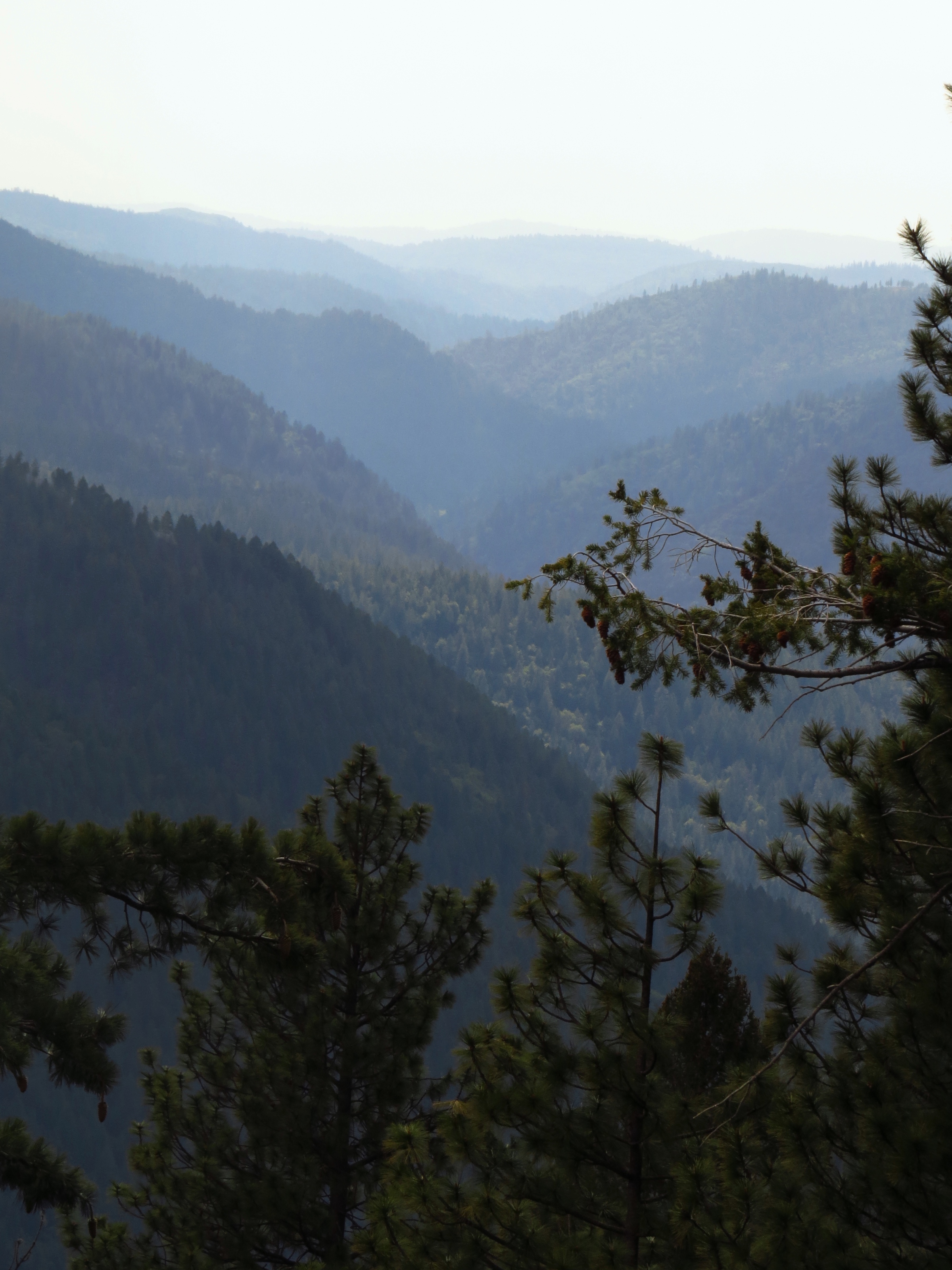
HWY 80 Vista
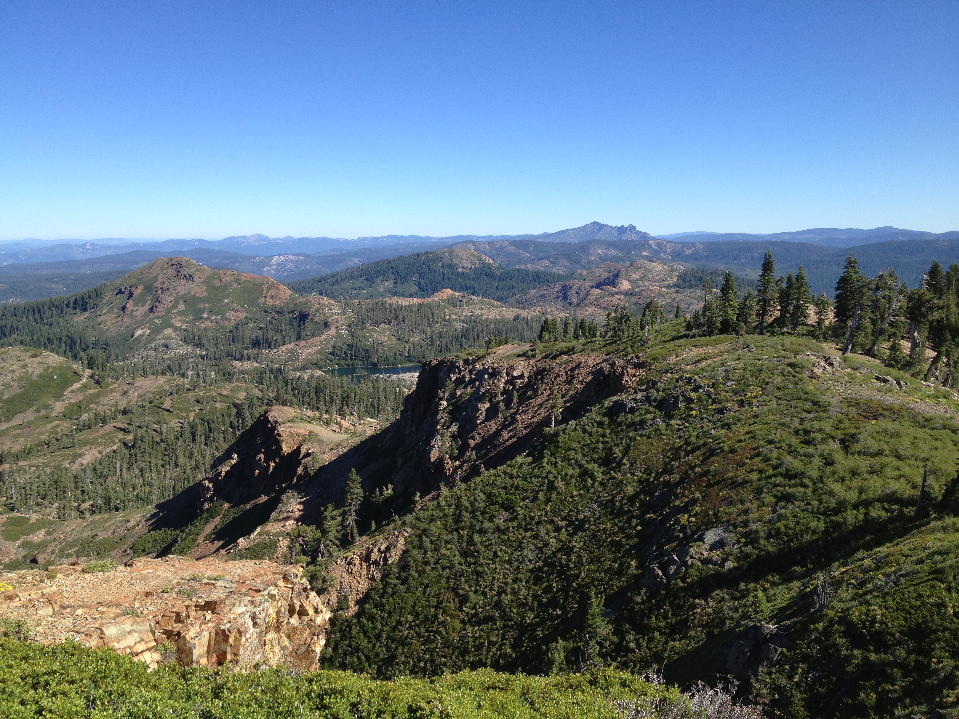
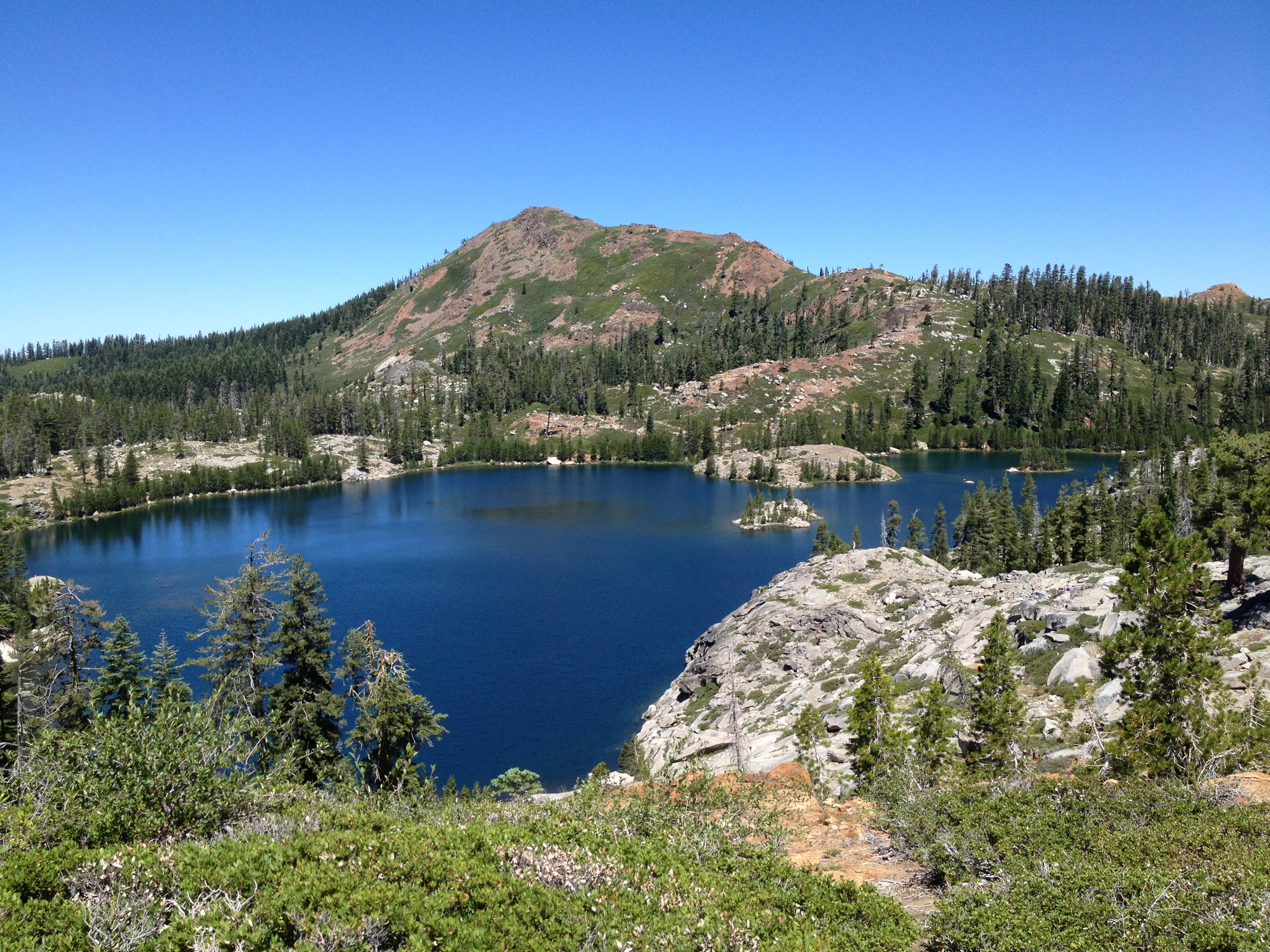
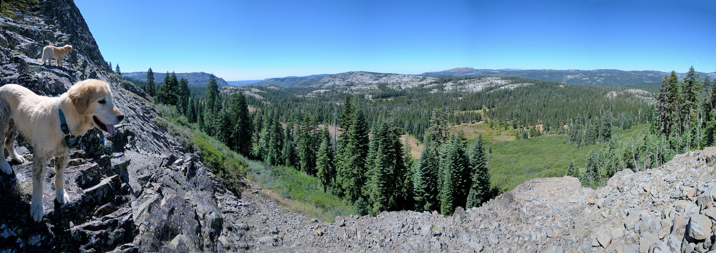
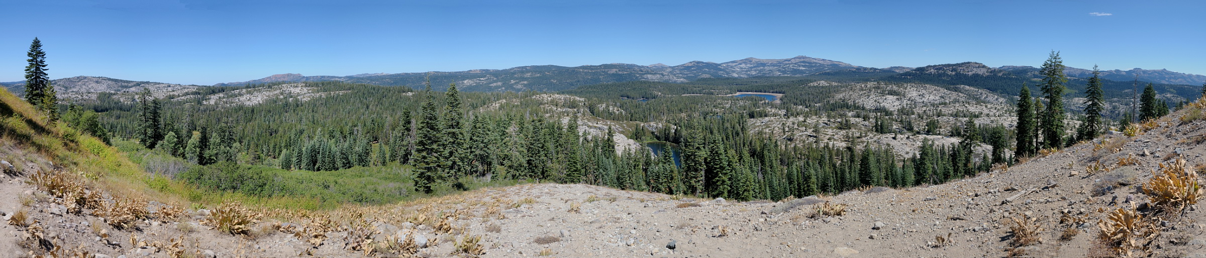
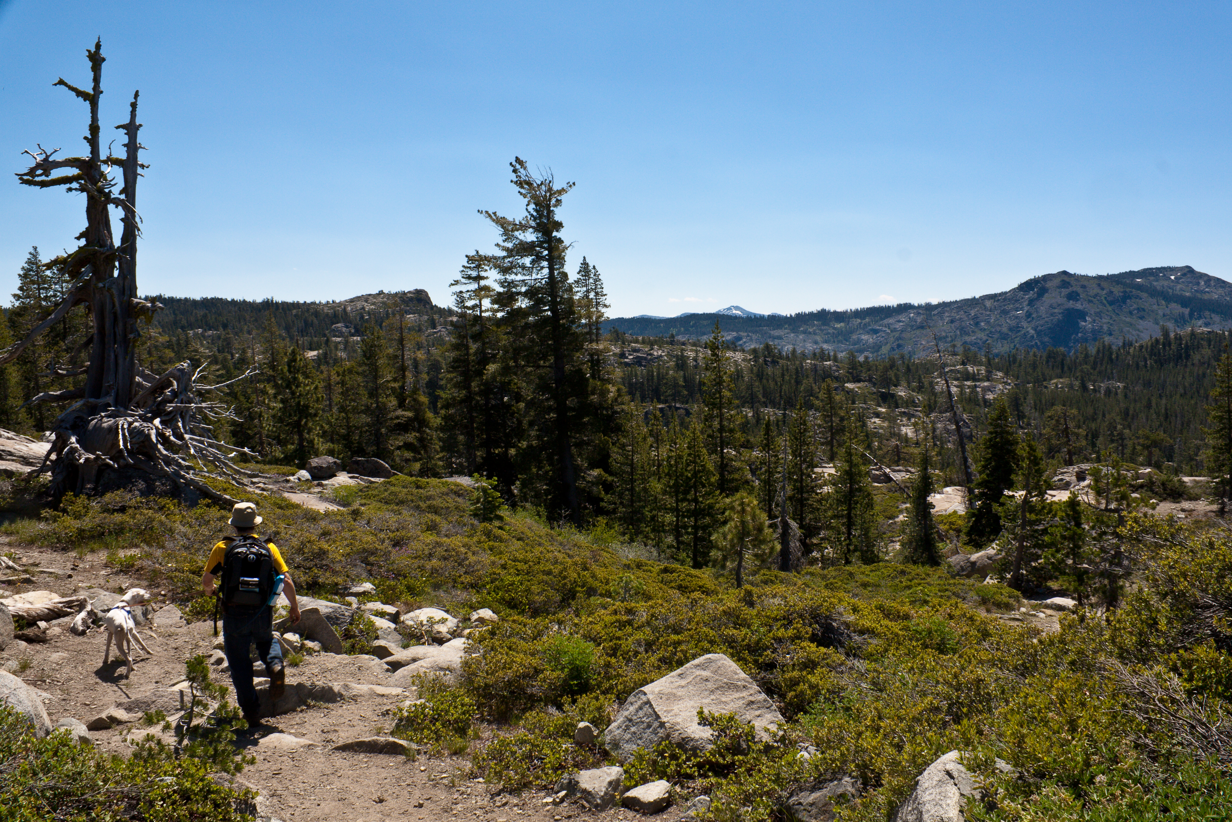
Round Lake Trail Hike #grouseridge #hiking #nevadacounty #california
Round Lake Trail Hike #grouseridge #hiking #nevadacounty #california
View to north from Devils Peak in Donner area pano1 8-30-12
View from Devils Peak pano1 8-30-12
South Yuba River
South Fork Yuba canyon
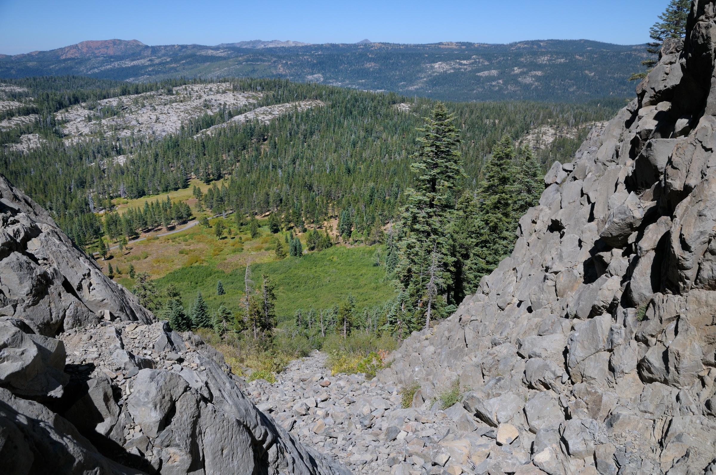
View from near top of Devils Peak in Donner area 8-30-12

View north from Devils Peak in Donner area 8-30-12
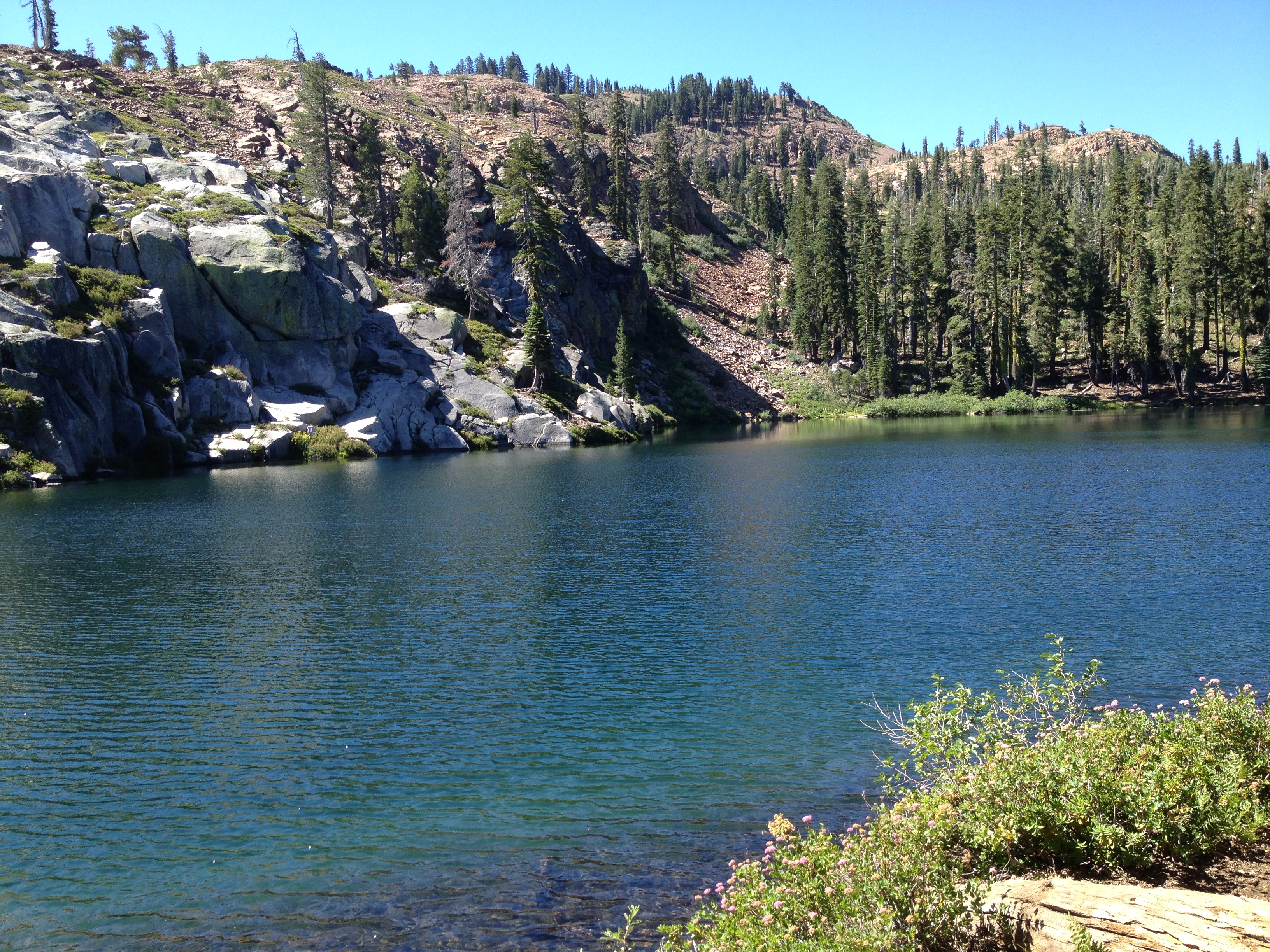
Salmon Lake Trail Vista

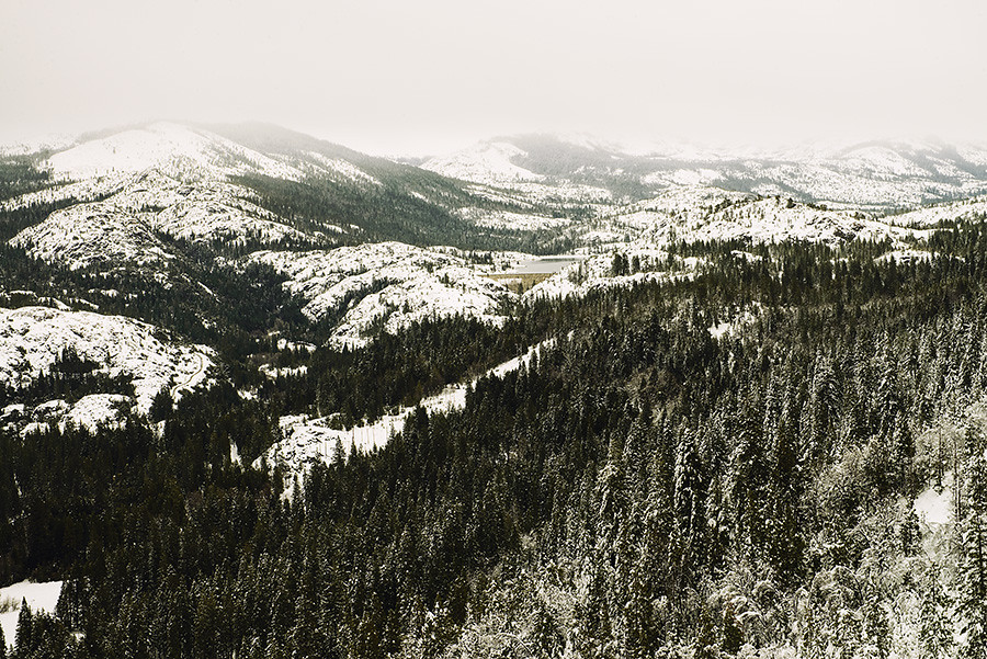
Lake Spaulding
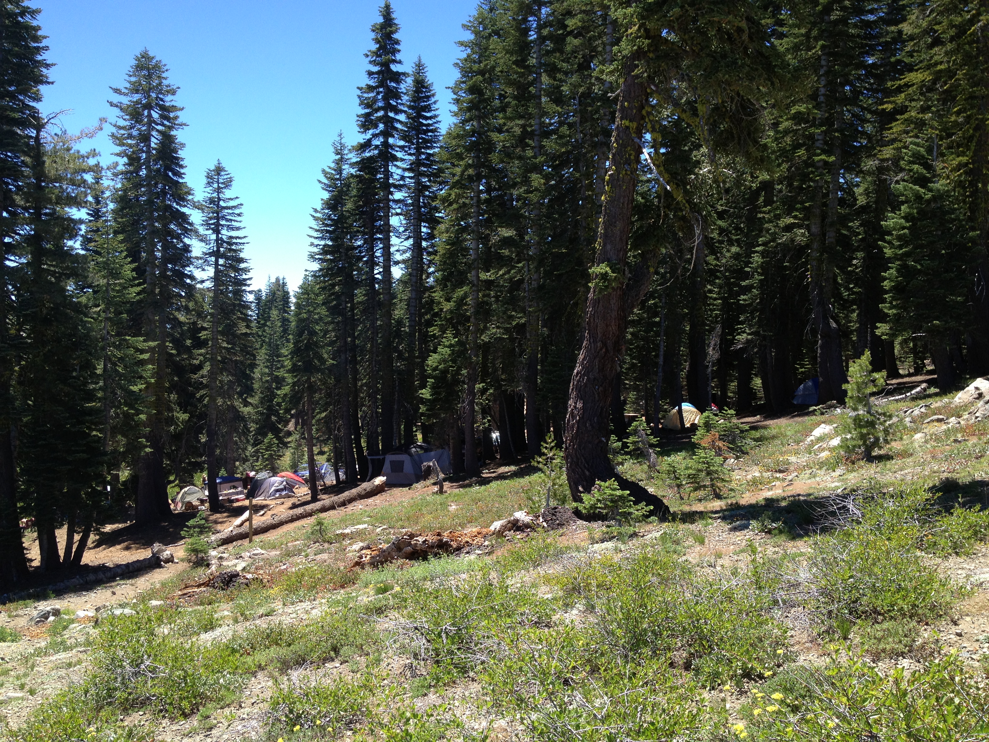
Round Lake Trail Hike #grouseridge #hiking #nevadacounty #california
Round Lake Trail Hike #grouseridge #hiking #nevadacounty #california

Round Lake Trail Hike #grouseridge #hiking #nevadacounty #california

GrouseRidgeLoop-20080608-104340
Topographic Map of Black Buttes, California, USA
Find elevation by address:

Places near Black Buttes, California, USA:
Meadow Lake Rd, Nevada City, CA, USA
English Mountain
Upper Rock Lake 97-048 Dam
Bowman Lake
Pass Creek Campground
Meadow Lake Rd, Nevada City, CA, USA
Hoosier Rd, Nevada City, CA, USA
25242 Gaston Rd
Graniteville Rd, Nevada City, CA, USA
Sierra City
Sierra Buttes Road
Basin Peak
15 Loganville Ln, Sierra City, CA, USA
Warren Lake
Sierra Buttes North
6 Old Chimney Rd
CA-49, Sierra City, CA, USA
Upper Sardine Lake
Sierra Nevada Field Campus
Carpenter Ridge
Recent Searches:
- Elevation of Corso Fratelli Cairoli, 35, Macerata MC, Italy
- Elevation of Tallevast Rd, Sarasota, FL, USA
- Elevation of 4th St E, Sonoma, CA, USA
- Elevation of Black Hollow Rd, Pennsdale, PA, USA
- Elevation of Oakland Ave, Williamsport, PA, USA
- Elevation of Pedrógão Grande, Portugal
- Elevation of Klee Dr, Martinsburg, WV, USA
- Elevation of Via Roma, Pieranica CR, Italy
- Elevation of Tavkvetili Mountain, Georgia
- Elevation of Hartfords Bluff Cir, Mt Pleasant, SC, USA