Elevation of Birch Creek Rd, Pine Hill, NY, USA
Location: United States > New York > Ulster County > Shandaken > Pine Hill >
Longitude: -74.479439
Latitude: 42.1460947
Elevation: 504m / 1654feet
Barometric Pressure: 0KPa
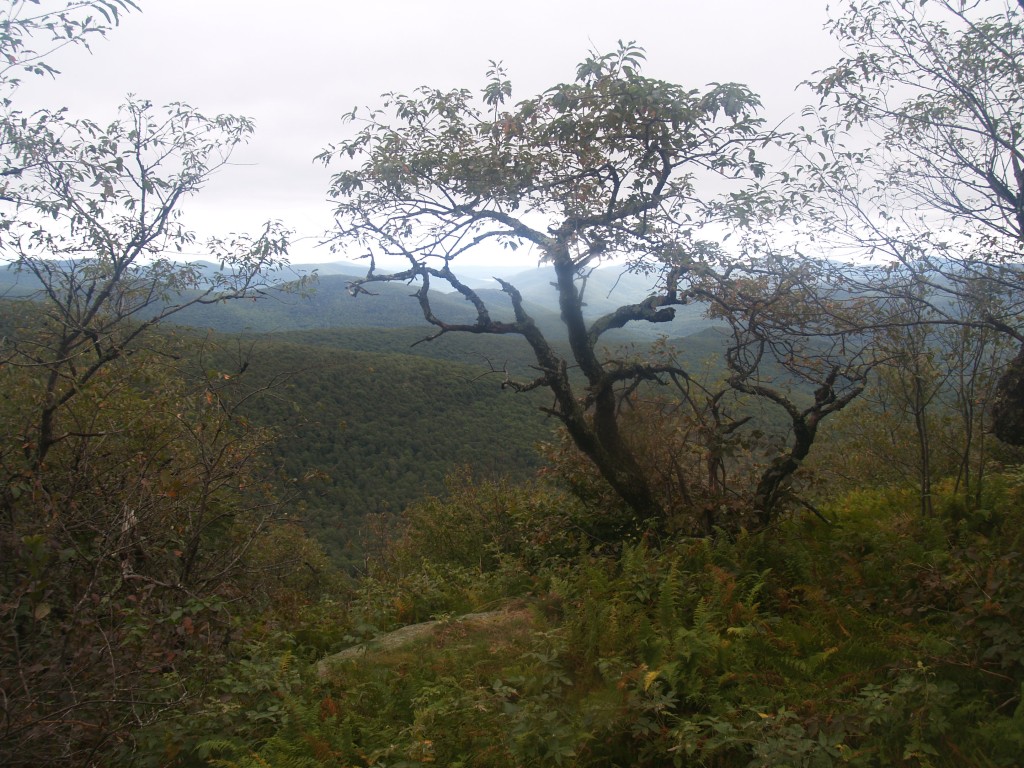
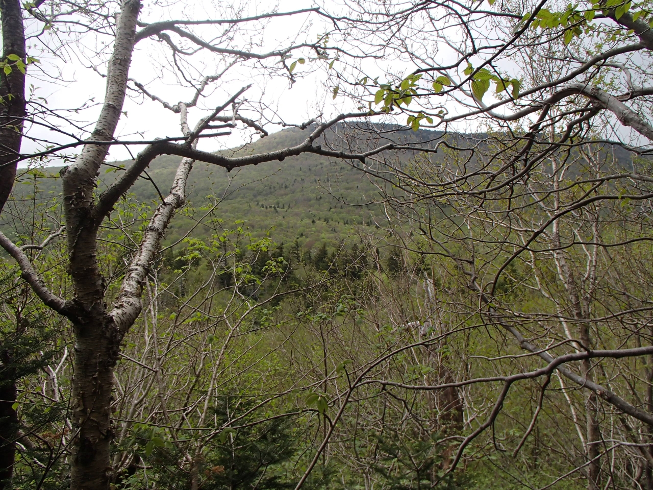
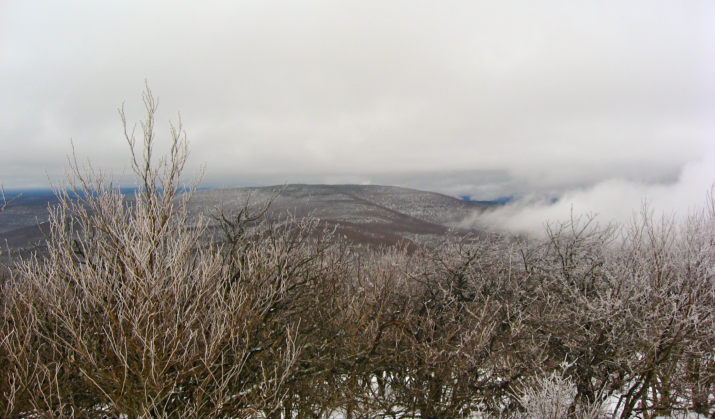
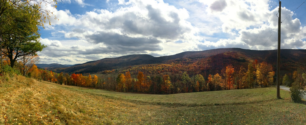
Related Photos:
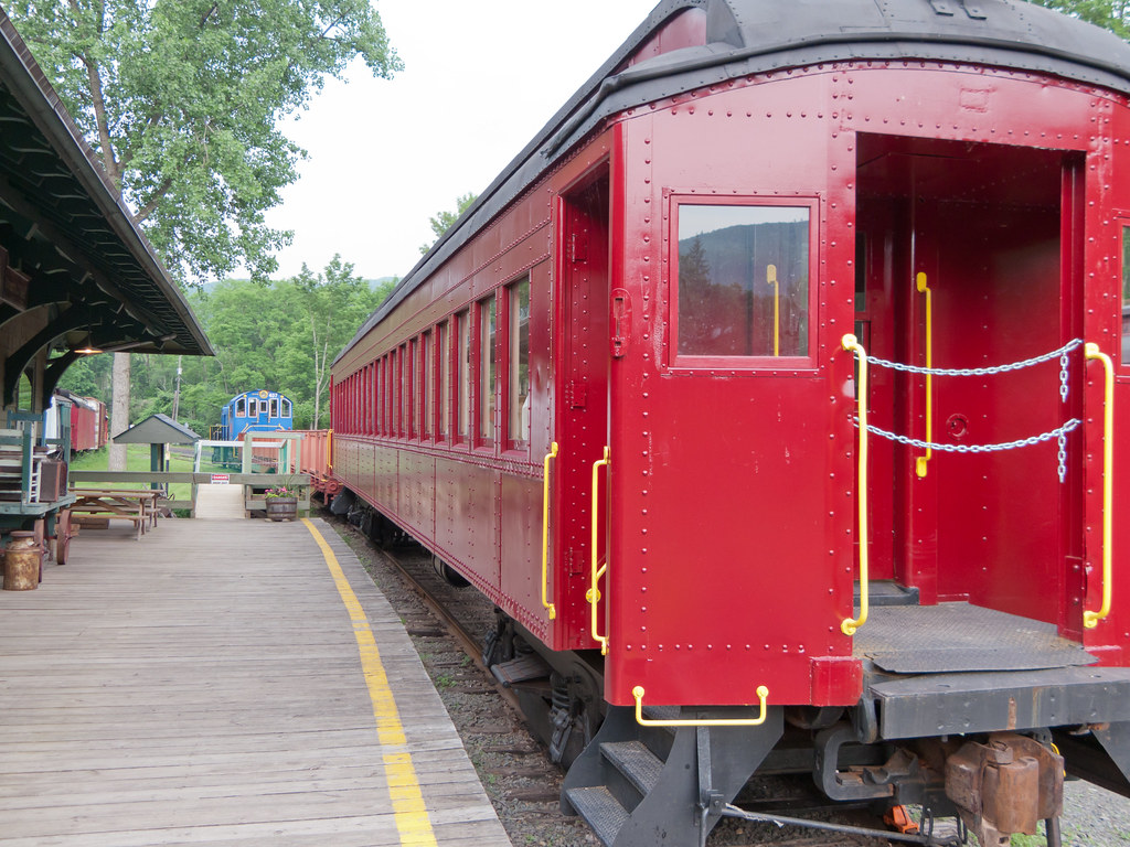
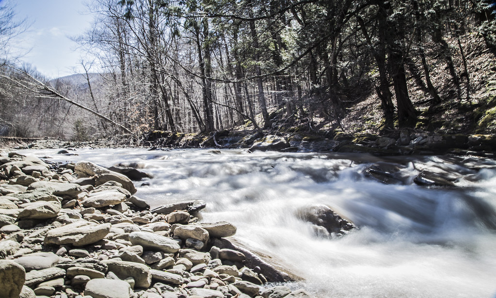
Catskil Mountain Railroad

Near Highmount, NY

Starry Night

The Lexington House 4
Sky Over Frost Valley **Explored**
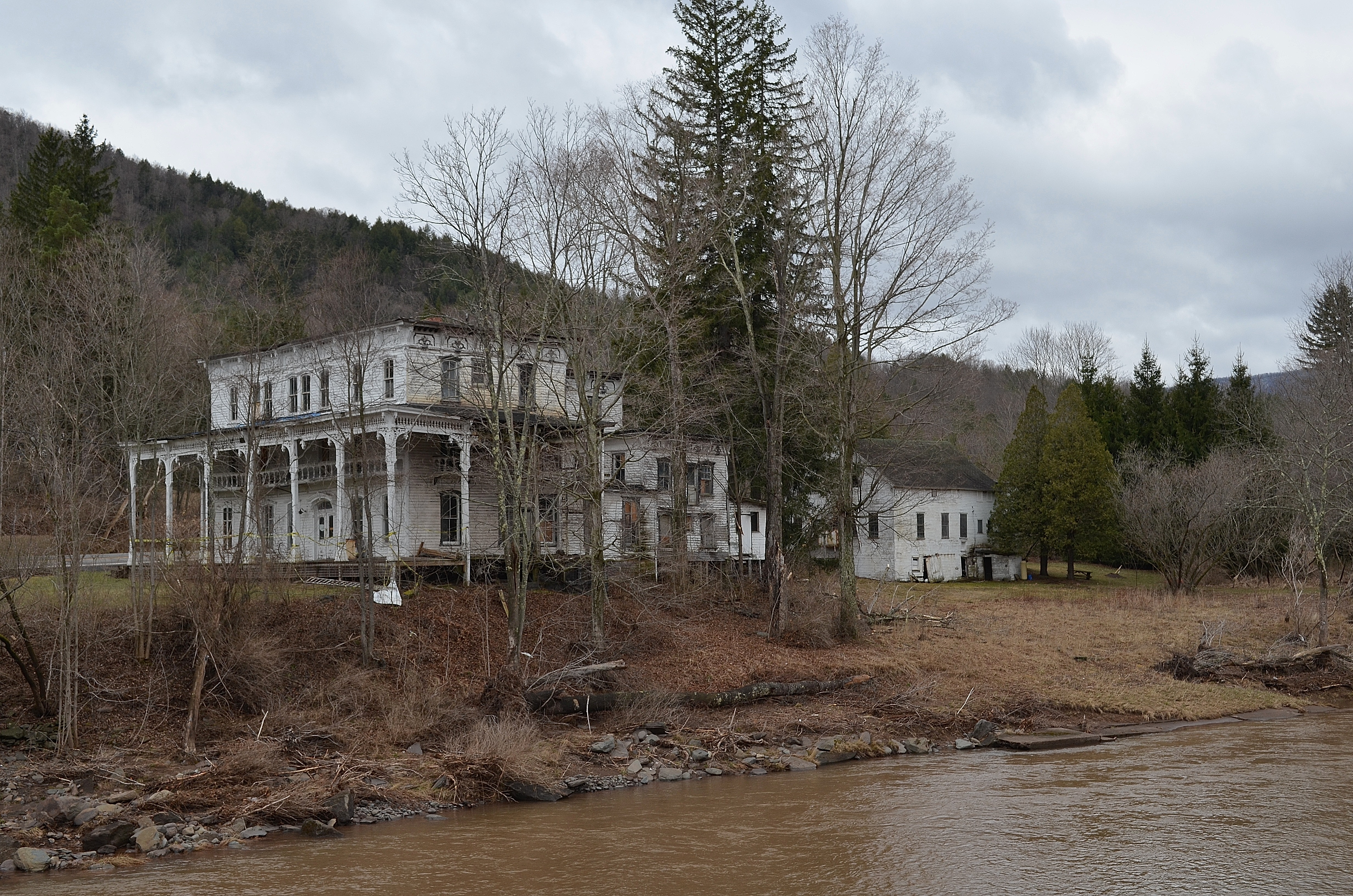
The Lexington House 2
Balsam Lake Mountain
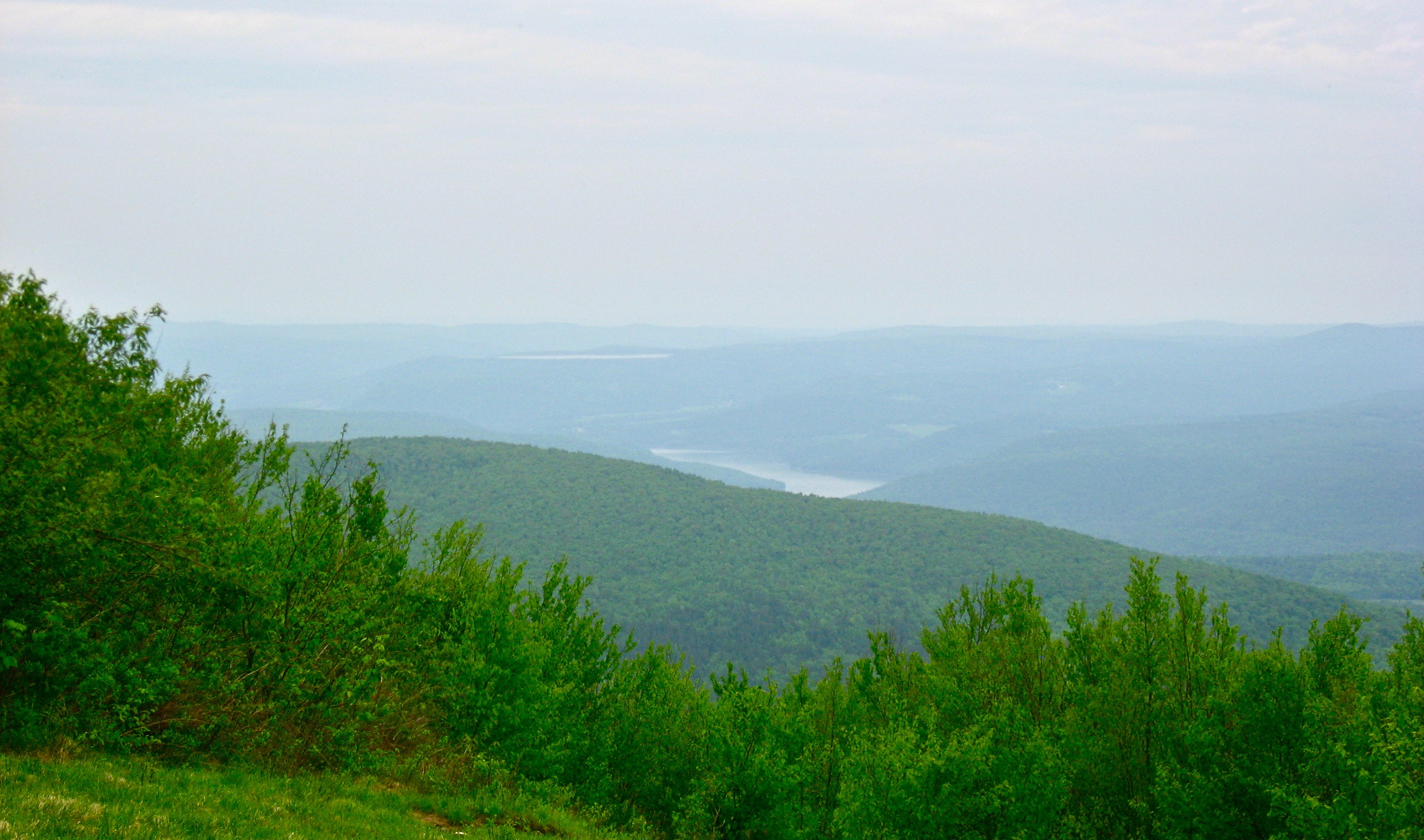
View North (Schoharie Res)

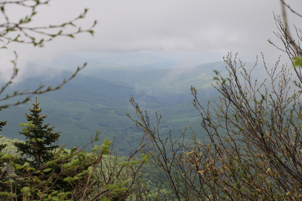
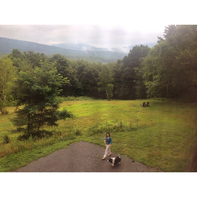
view from within

Vintage View
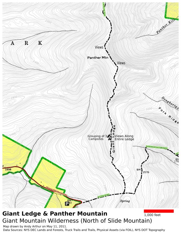
Panther Mountain and Giant Ledge Maps

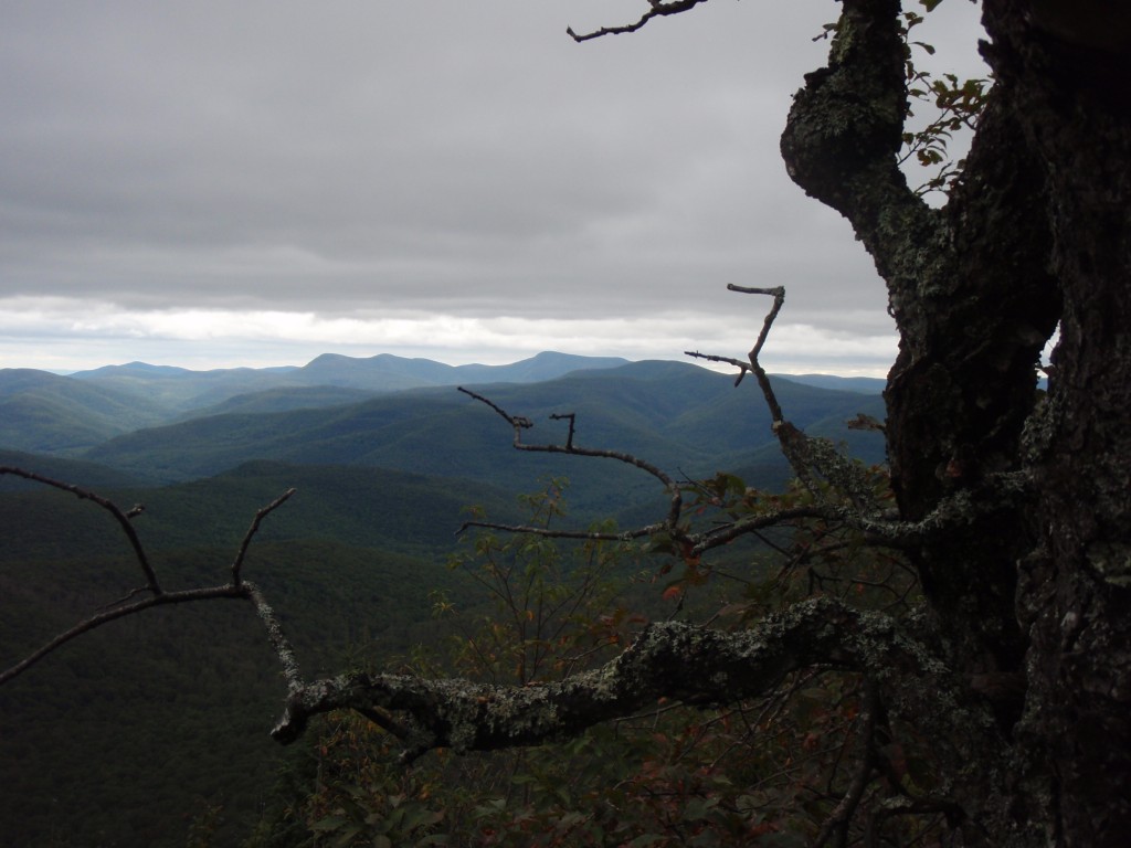
panther mountain
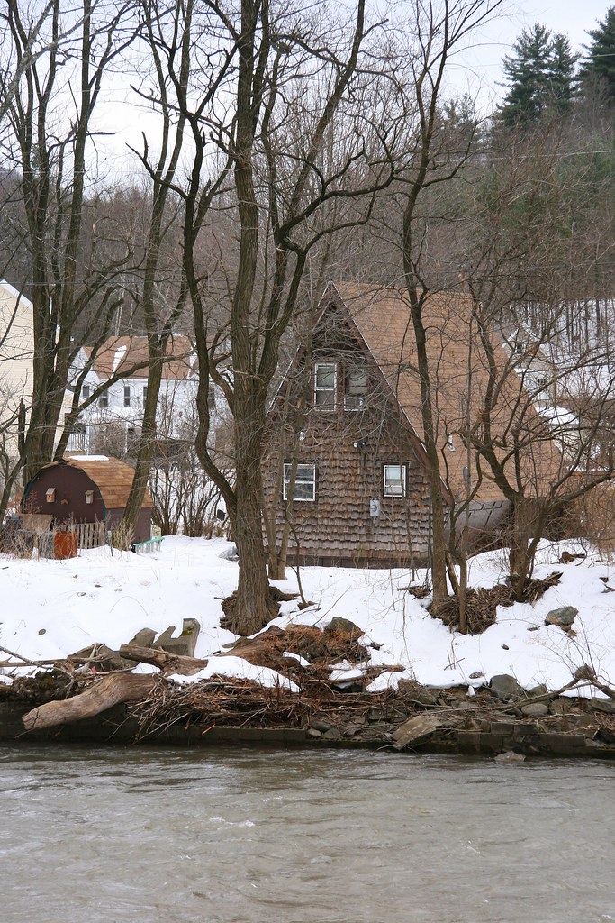
Cabin in the woods
317_Catskills-Bushwhack_Sherrill_view
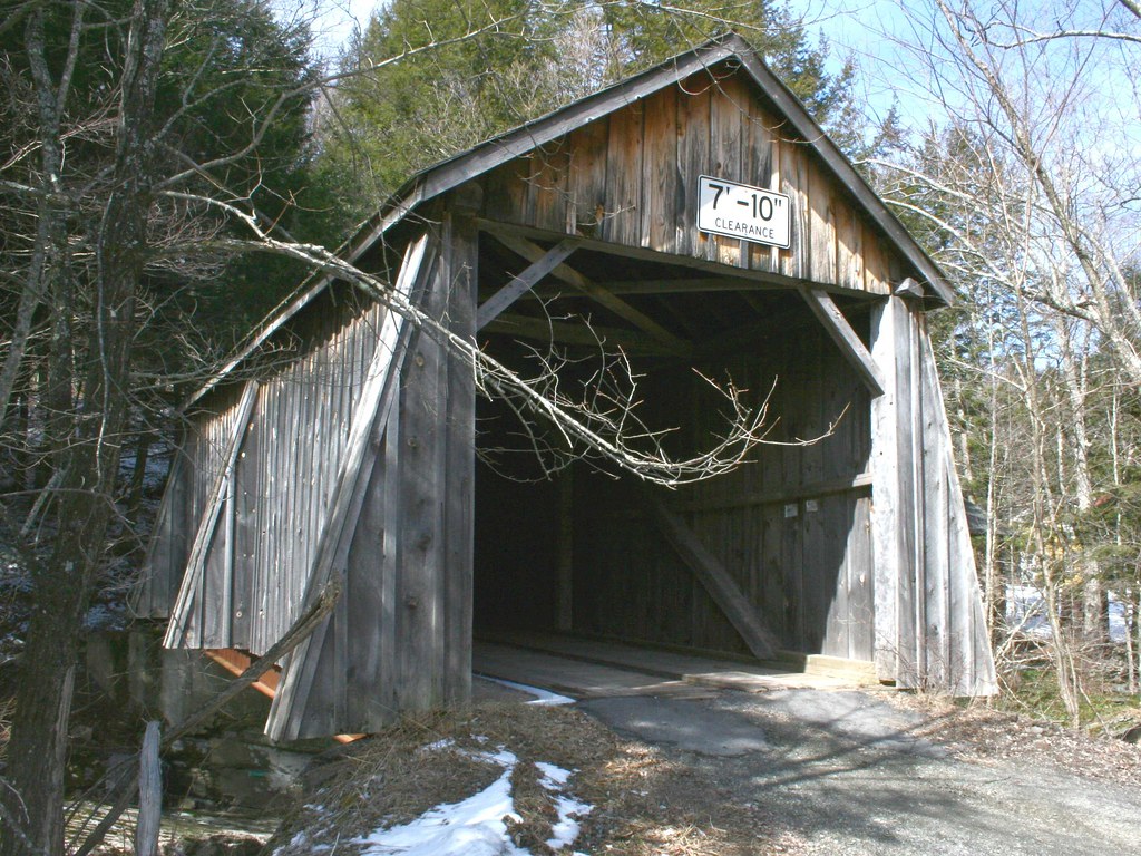
Tappan or Kittle Covered Bridge
266 Zoomed-In view back down Dry Brook Road from Doubletop Mountain
374_Catskills-Bushwhack_North-Dome_Sherrill_descent
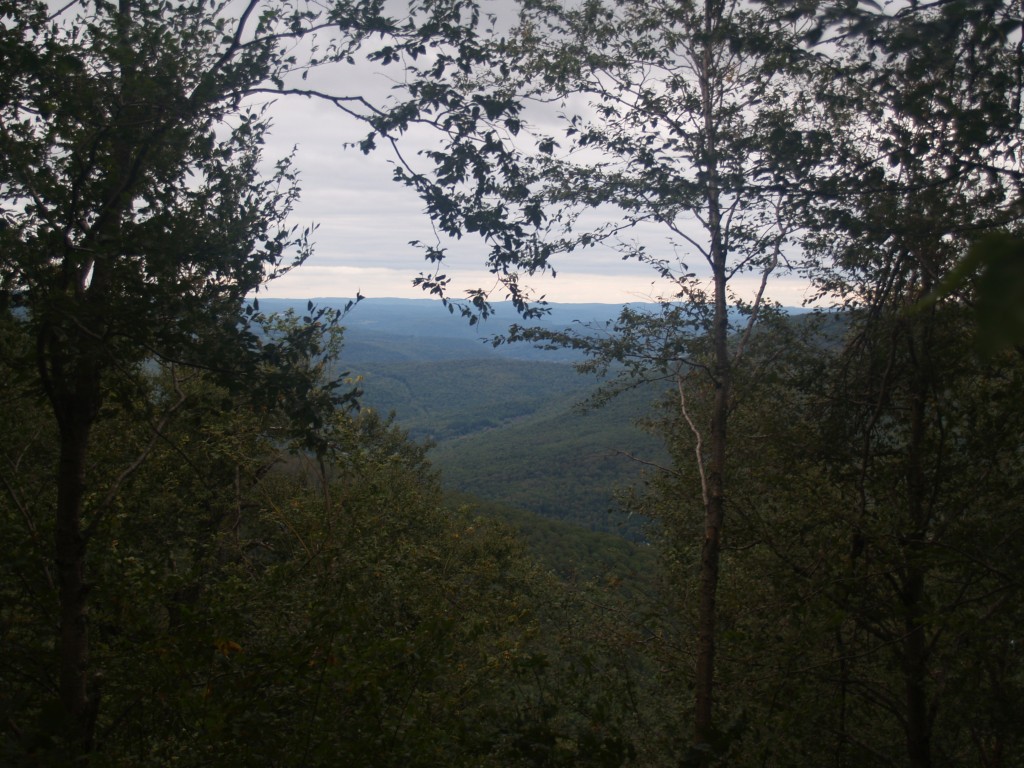
View from the hike. #yttp #latergram
313_Catskills-Bushwhack_Sherrill_view
226 We finally get a view of Doubletop Mountain as we bushwhack down to the saddle
View from Graham
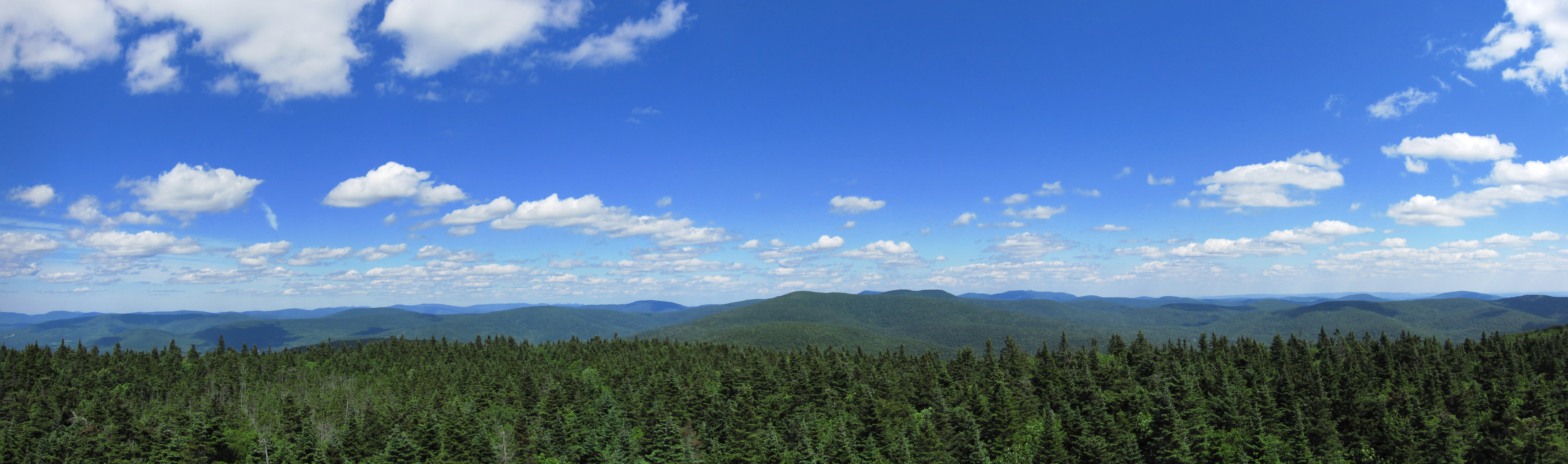
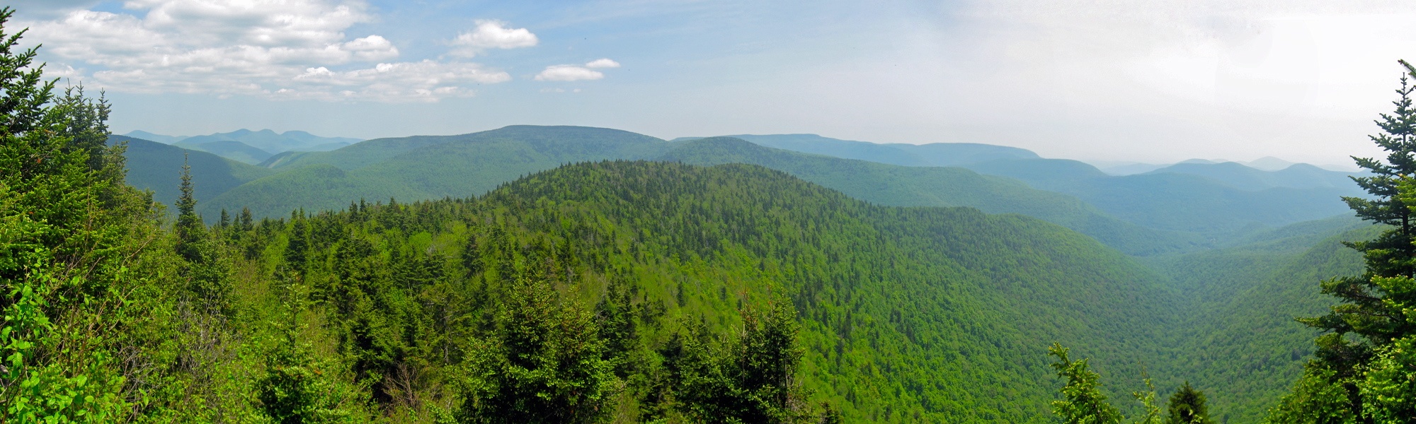
Catskills Panorama

DSCF8599.jpg
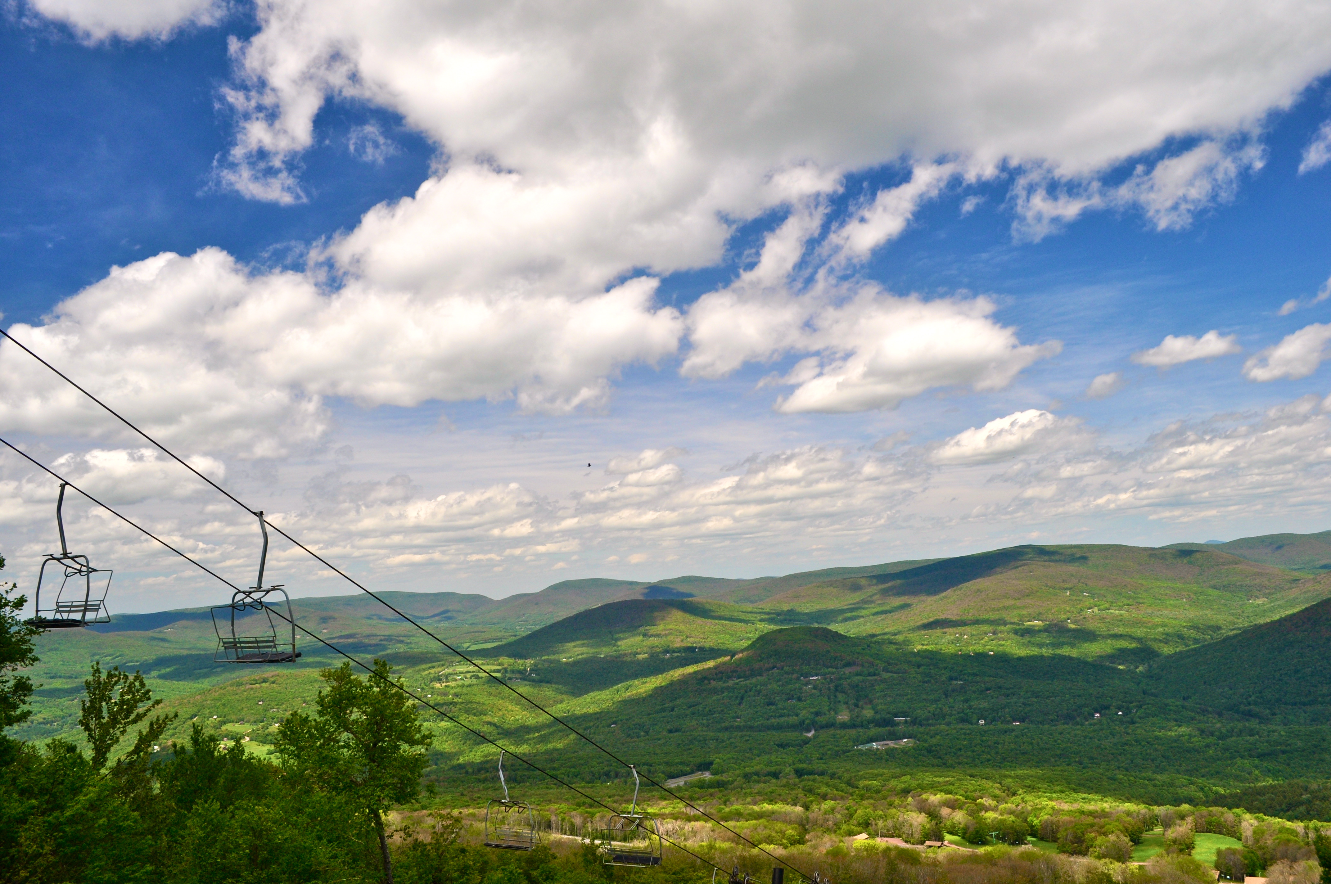
Skiing in the Spring

The Artist in the Landscape

2014_04_11-13_JJDrummondWedding_6D_4949bw
Westkill Pano

DSCF8428.jpg

Lunch Spot
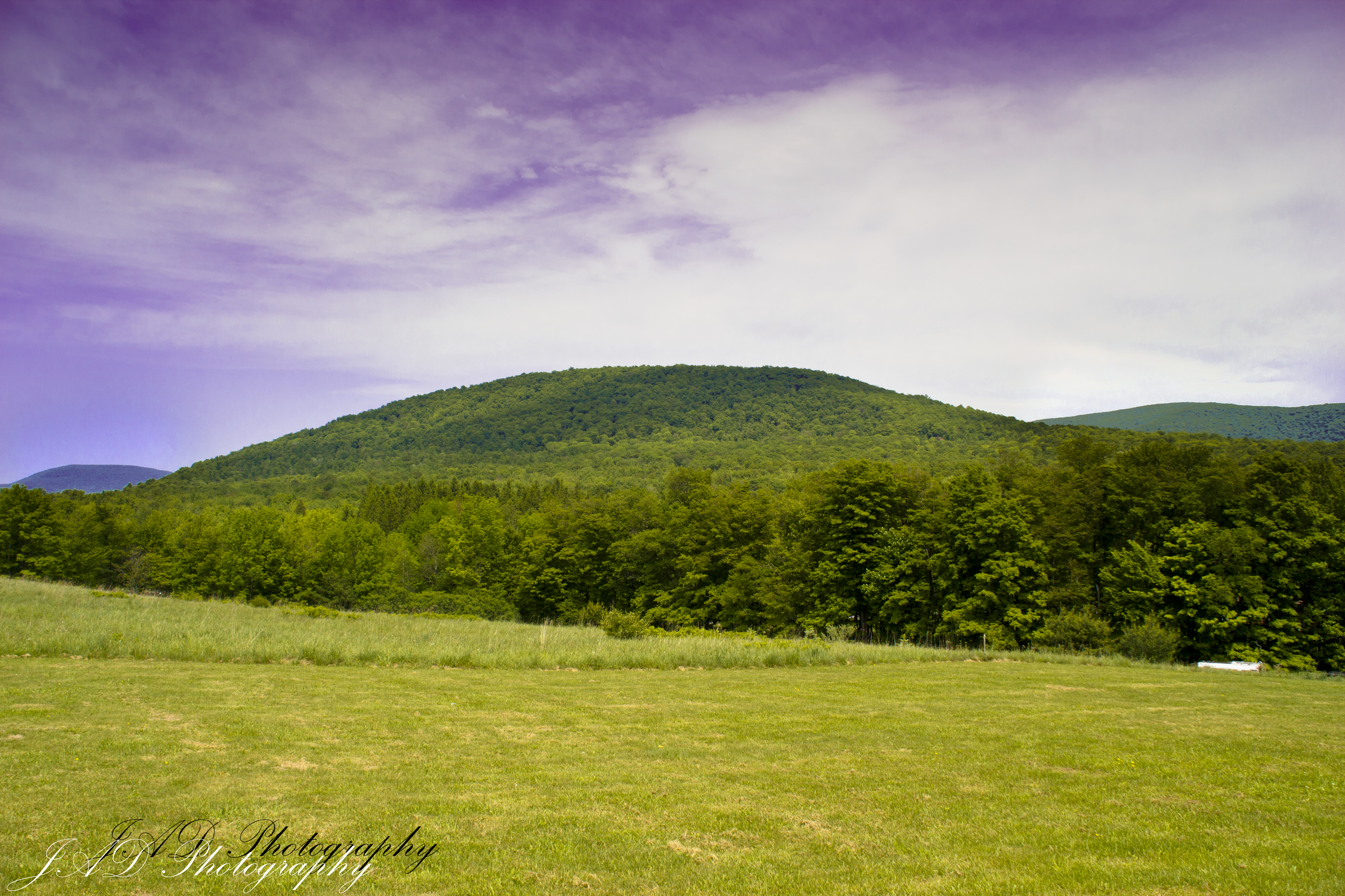
Rolling Hills in Delaware County

2014_04_11-13_JJDrummondWedding_6D_4914bw

DSCF8697.jpg
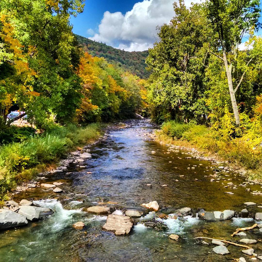
#art #autumn #nature #newyork #october #phoenicia #picoftheday #photooftheday #instalike #instamood #instagood #instadaily #instagram #bestoftheday #beautiful #river #follow #like4like
2014_04_11-13_JJDrummondWedding_6D_4930
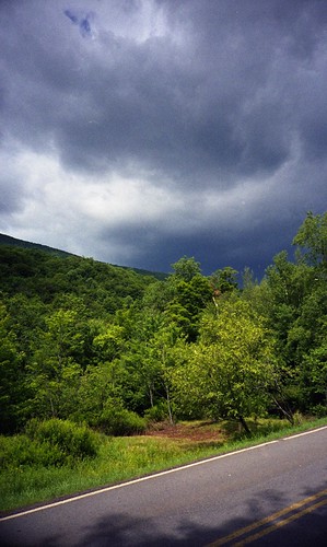
impending storm

Allaben Cemetary

DSCF8523.jpg
Post morning thunderstorm potty.

L1090864.jpg
Topographic Map of Birch Creek Rd, Pine Hill, NY, USA
Find elevation by address:

Places near Birch Creek Rd, Pine Hill, NY, USA:
62 Barley Rd
27 Pine Hill Rd
35 Elm St, Pine Hill, NY, USA
Pine Hill
Highmount
10 Lake St
3125 Brush Ridge Rd
Belleayre Mountain Ski Center
307 Breezy Hill Rd
1276 Main St
1112 Main St
484 Wagner Ave
925 Main St
50 Oliverea Rd
Big Indian
Erika Drive
220 Ny-42
565 Oliverea Rd
7433 Ny-28
21 NY-42, Shandaken, NY, USA
Recent Searches:
- Elevation map of Litang County, Sichuan, China
- Elevation map of Madoi County, Qinghai, China
- Elevation of 3314, Ohio State Route 114, Payne, Paulding County, Ohio, 45880, USA
- Elevation of Sarahills Drive, Saratoga, Santa Clara County, California, 95070, USA
- Elevation of Town of Bombay, Franklin County, New York, USA
- Elevation of 9, Convent Lane, Center Moriches, Suffolk County, New York, 11934, USA
- Elevation of Saint Angelas Convent, 9, Convent Lane, Center Moriches, Suffolk County, New York, 11934, USA
- Elevation of 131st Street Southwest, Mukilteo, Snohomish County, Washington, 98275, USA
- Elevation of 304, Harrison Road, Naples, Cumberland County, Maine, 04055, USA
- Elevation of 2362, Timber Ridge Road, Harrisburg, Cabarrus County, North Carolina, 28075, USA
- Elevation of Ridge Road, Marshalltown, Marshall County, Iowa, 50158, USA
- Elevation of 2459, Misty Shadows Drive, Pigeon Forge, Sevier County, Tennessee, 37862, USA
- Elevation of 8043, Brightwater Way, Spring Hill, Williamson County, Tennessee, 37179, USA
- Elevation of Starkweather Road, San Luis, Costilla County, Colorado, 81152, USA
- Elevation of 5277, Woodside Drive, Baton Rouge, East Baton Rouge Parish, Louisiana, 70808, USA
- Elevation of 1139, Curtin Street, Shepherd Park Plaza, Houston, Harris County, Texas, 77018, USA
- Elevation of 136, Sellers Lane, Repton, Monroe County, Alabama, 36475, USA
- Elevation of 12914, Elmington Drive, Lakewood Forest, Houston, Harris County, Texas, 77429, USA
- Elevation of 417, Camelot Drive, Statesville, Iredell County, North Carolina, 28625, USA
- Elevation of 5792, Wildridge Road, Avon, Eagle County, Colorado, 81620, USA