Elevation of Big Fork Township, AR, USA
Location: United States > Arkansas > Polk County >

Longitude: -93.967437

Latitude: 34.4665142

Elevation: 375m / 1230feet

Barometric Pressure: 97KPa

Elevation Map:

elevation map of Big Fork Township, AR, USA
Satellite Map:

Satellite map of Big Fork Township, AR, USA

Related Photos:

ar arkansas ouachitanationalforest windowrock albertpike matthoward matthewhoward mshhoward
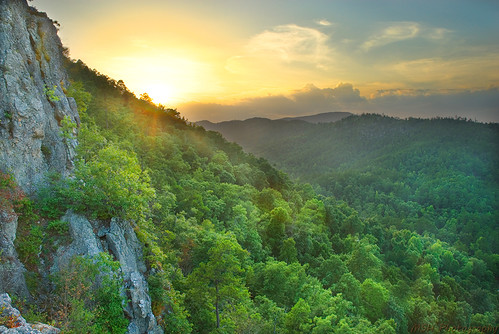
View from Window Rock @ Albert Pike State Park - AR
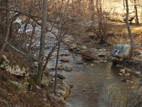
River View
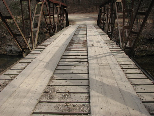
bridge arkansas
Big Fork Creek-Deck View
arkansas museums pineridge
Lum and Abner Museum
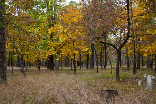
trees lake tree fall water forest canon eos leaf woods ar nationalforest twig arkansas onf ouachitanationalforest shadylake 40d canoneos40d
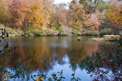
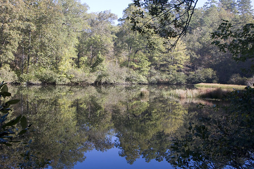
Shady Lake Peaceful Cove in Fall
buckeyeridgetrail
Lunch break
trees mountain lake tree water creek forest canon river bench eos leaf woods ar nationalforest trail twig tall arkansas shady onf ouachitanationalforest shadylake canoneos5dmarkii 5dmarkii canon5dmarkii eastsabinecreek eastsabine
East Sabine Creek Summer Day 2
trees summer lake tree water forest canon eos leaf woods ar nationalforest twig arkansas onf ouachitanationalforest shadylake 40d canoneos40d
Shady Lake Peaceful Cove in Summer 2
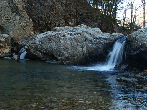
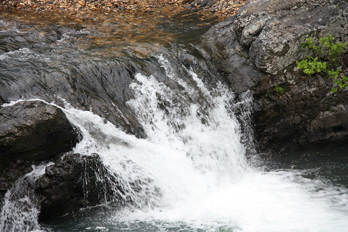
Wide View of Falls
trees summer mountain lake water forest canon eos woods ar nationalforest twig tall arkansas onf ouachitanationalforest shadylake canoneos5dmarkii 5dmarkii
Shady Lake after a Heavy Mountain Rain Storm
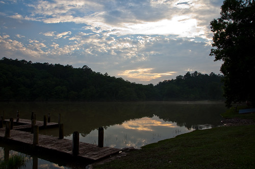
trees sunset summer mountain lake water forest canon bench eos dock woods ar nationalforest twig tall arkansas onf ouachitanationalforest shadylake canoneos5dmarkii 5dmarkii
Shady Lake Sunset
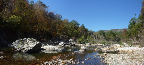
trees summer mountain lake tree water creek forest canon river bench eos leaf woods ar nationalforest trail twig tall arkansas onf ouachitanationalforest shadylake canoneos5dmarkii 5dmarkii eastsabinecreek eastsabine
East Sabine Creek Summer Day
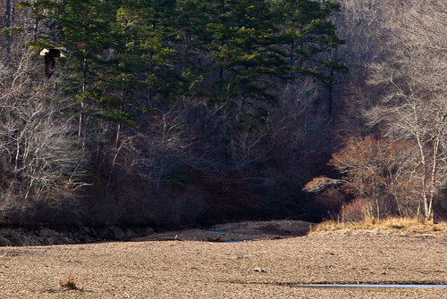
trees winter mountain lake tree water creek canon eos leaf woods branch ar eagle baldeagle nationalforest twig arkansas onf ouachitanationalforest shadylake ef70200mmf28lisusm tallmountain canoneos5dmarkii 5dmarkii
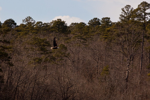
Bald Eagle flying over Empty Shady Lake
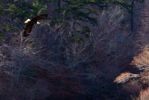
trees winter mountain lake tree water creek canon eos leaf woods branch ar eagle baldeagle nationalforest twig arkansas onf ouachitanationalforest shadylake ef70200mmf28lisusm tallmountain canoneos5dmarkii 5dmarkii
Bald Eagle Flying Close up
arkansas ouachitanationalforest ouachitamountains ouachitas windingstairstrail albertpikerecreationarea
Little Missouri View
Little Missouri Falls View
trees winter mountain lake tree water creek canon eos leaf woods branch ar eagle baldeagle nationalforest twig arkansas onf ouachitanationalforest shadylake ef70200mmf28lisusm canoneos5dmarkii 5dmarkii
Bald Eagle flying over Shady Lake 3
trees summer lake tree water forest canon eos leaf woods ar nationalforest twig arkansas onf ouachitanationalforest shadylake 40d canoneos40d
Shady Lake Peaceful Cove in Summer
tree fall water creek canon landscape eos woods branch ar bare east twig arkansas saline ouachitanationalforest shadylake 5dmarkii canon5dmarkii
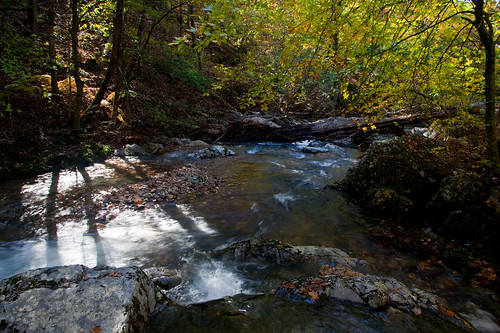
East Saline Creek Shadows
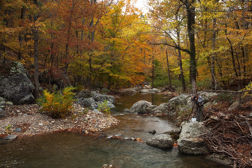
november autumn mountains color fall creek forest canon lens eos zoom mark clayton wells foliage national ii 5d usm ef 1740mm crooked ouachita 2014 f4l img9434 rashofdeaths
Crooked Creek, Fall Color, and Bruce
mountains nature forest canon lens eos zoom mark national ii 5d arkansas usm ef 1740mm gov ouachita crookedcreek f4l img9450
Launching into Fall
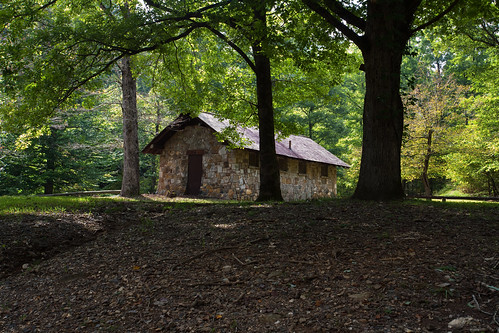
summer building forest canon lens eos zoom mark clayton wells september national ii springs 5d arkansas usm campground bard ef 1740mm ouachita 2014 f4l img9127
Bard Springs Recreation Area and Campground
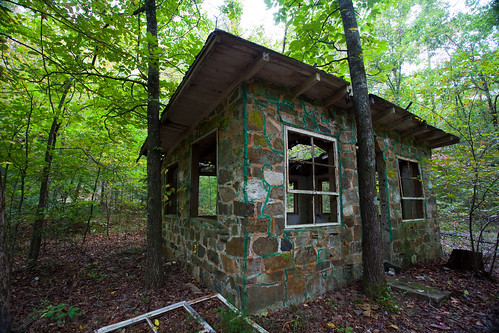
mountains building abandoned stone forest canon lens eos woods zoom mark structure national ii 5d usm ef 1740mm ouachita f4l img9256 athensbigfork
Stone Building
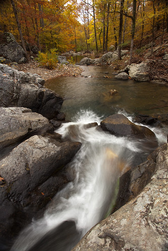
arkansas ouachitanationalforest ouachitamountains littlemissourifalls
Little Missouri Falls
waterfallphotosafari
Crooked Creek Falls
square squareformat ludwig iphoneography instagramapp uploaded:by=instagram
Evening Sun on the Little Missouri River
arkansas ouachitanationalforest littlemissourifalls
Little Missouri Falls
arkansas ouachitanationalforest bardsprings
Bard Springs
geotagged tripod waterfalls arkansas ouachitanationalforest montgomerycounty 1755mmf28 littlemissourifalls nikond300 arrrrkansas20082009 geo:lon=93918882 geo:lat=34420337 slatingtonhistorical
6.38km from Slatington (historical), Arkansas
mountains fall river little albert foliage missouri arkansas pike ouachita
Little Missouri River
trees summer tree water creek forest canon eos woods ar falls arkansas canoneos5dmarkiii 5dmarkiii blaylockcreek
Blaylock Creek
waterfallphotosafari
Crooked Creek Falls
nov fall river falls foliage 2007 littlemissouri
Lil_Mo-9
trees lake tree fall water creek forest canon river eos leaf woods branch ar nationalforest pasture twig arkansas onf ouachitanationalforest shadylake canoneos5dmarkii 5dmarkii
Abandoned Camp Ground
bridge tree fall water creek canon landscape eos branch ar bare east twig arkansas saline ouachitanationalforest shadylake 5dmarkii canon5dmarkii
Shady Lake East Saline Creek Bridge
eaglerockloop littlemissourifalls
Eagle Rock Loop - Apr 2009
trees winter mountain tree forest canon eos woods ar nationalforest vista arkansas shady onf ouachitanationalforest 70200f28l ef70200mmf28lisusm canoneos5dmarkii 5dmarkii
West Hanna Mountain with the Caney Creek Wilderness area in forground
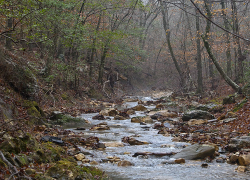
trees winter tree water rock fog creek forest canon eos is leaf woods ar nationalforest trail twig arkansas usm onf ouachitanationalforest ef70200mm f28l 70200f28l shadylake canoneos5dmarkii 5dmarkii
East Saline Creek the Deep woods in the ONF 2
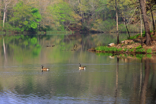
trees lake reflection tree bird water forest canon eos geese spring woods ar nationalforest arkansas shady onf ouachitanationalforest shadylake canoneos5dmarkiii 5dmarkiii
Geese Enjoying Shady Lake
eaglerockloop littlemissourifalls
Eagle Rock Loop - Apr 2009