Elevation of Bhinlgana Range, Uttarakhand, India
Location: India > Uttarakhand > Rudraprayag >
Longitude: 78.8609122
Latitude: 30.667893
Elevation: 2723m / 8934feet
Barometric Pressure: 73KPa
Elevation Map:
Satellite Map:
Related Photos:
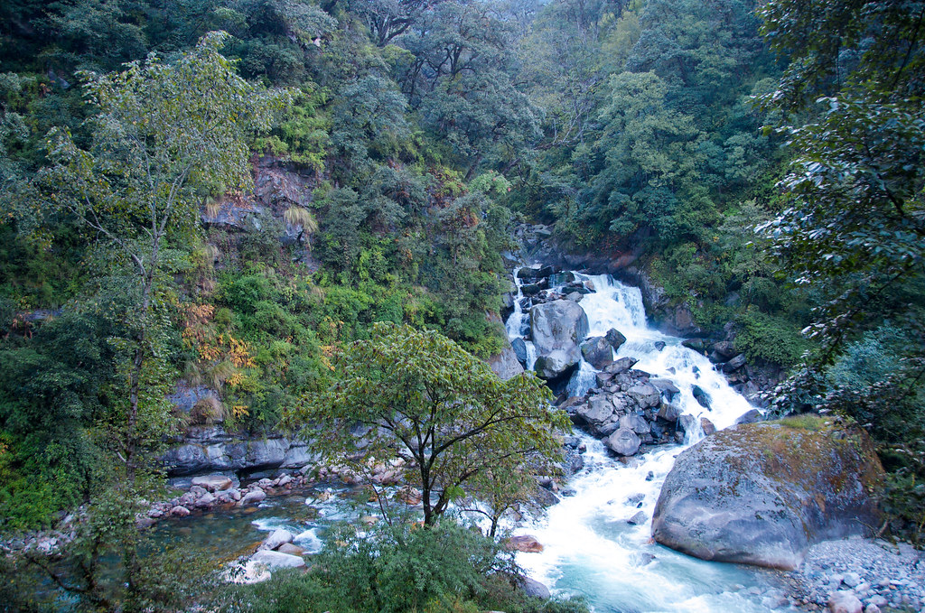
Near Sonprayag, Uttarakhand

#gaurikund #kedarnath
Topographic Map of Bhinlgana Range, Uttarakhand, India
Find elevation by address:

Places in Bhinlgana Range, Uttarakhand, India:
Places near Bhinlgana Range, Uttarakhand, India:
Bhilangna River
Sonprayag
Kedarnath
Kedarnath Temple
Thalay Sagar
Kabiltha
Kalimath
Byunkhi
Byunkhi
Bazeera
Meru Peak
Rudraprayag
Ukhimath
Chirbatiya Forest Rest House
Ransi
Raunlek
Shivling
Tuneta
Chandrapuri
India Post Chandra Puri
Recent Searches:
- Elevation of Corso Fratelli Cairoli, 35, Macerata MC, Italy
- Elevation of Tallevast Rd, Sarasota, FL, USA
- Elevation of 4th St E, Sonoma, CA, USA
- Elevation of Black Hollow Rd, Pennsdale, PA, USA
- Elevation of Oakland Ave, Williamsport, PA, USA
- Elevation of Pedrógão Grande, Portugal
- Elevation of Klee Dr, Martinsburg, WV, USA
- Elevation of Via Roma, Pieranica CR, Italy
- Elevation of Tavkvetili Mountain, Georgia
- Elevation of Hartfords Bluff Cir, Mt Pleasant, SC, USA