Elevation of Bevis Road, Bevis Rd, Franklin, GA, USA
| Latitude | 33.2674384 |
|---|---|
| Longitude | -85.1139765 |
| Elevation | 239m / 784feet |
| Barometric Pressure | 985KPa |
Related Photos:

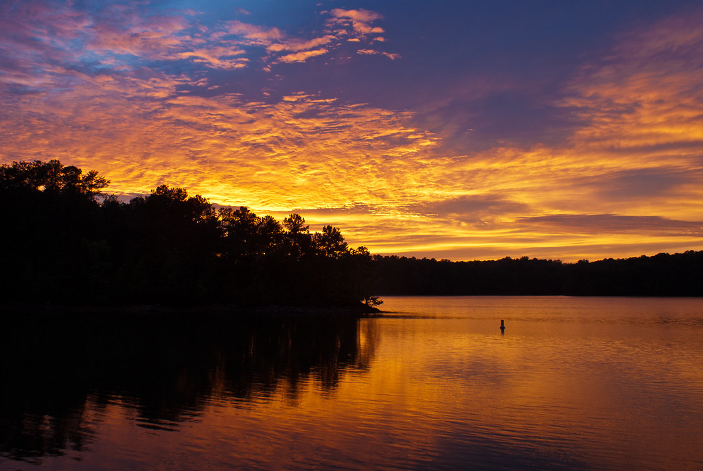
Sunset over West Point Lake

Mom's View
168/365 First LaGrange sunset
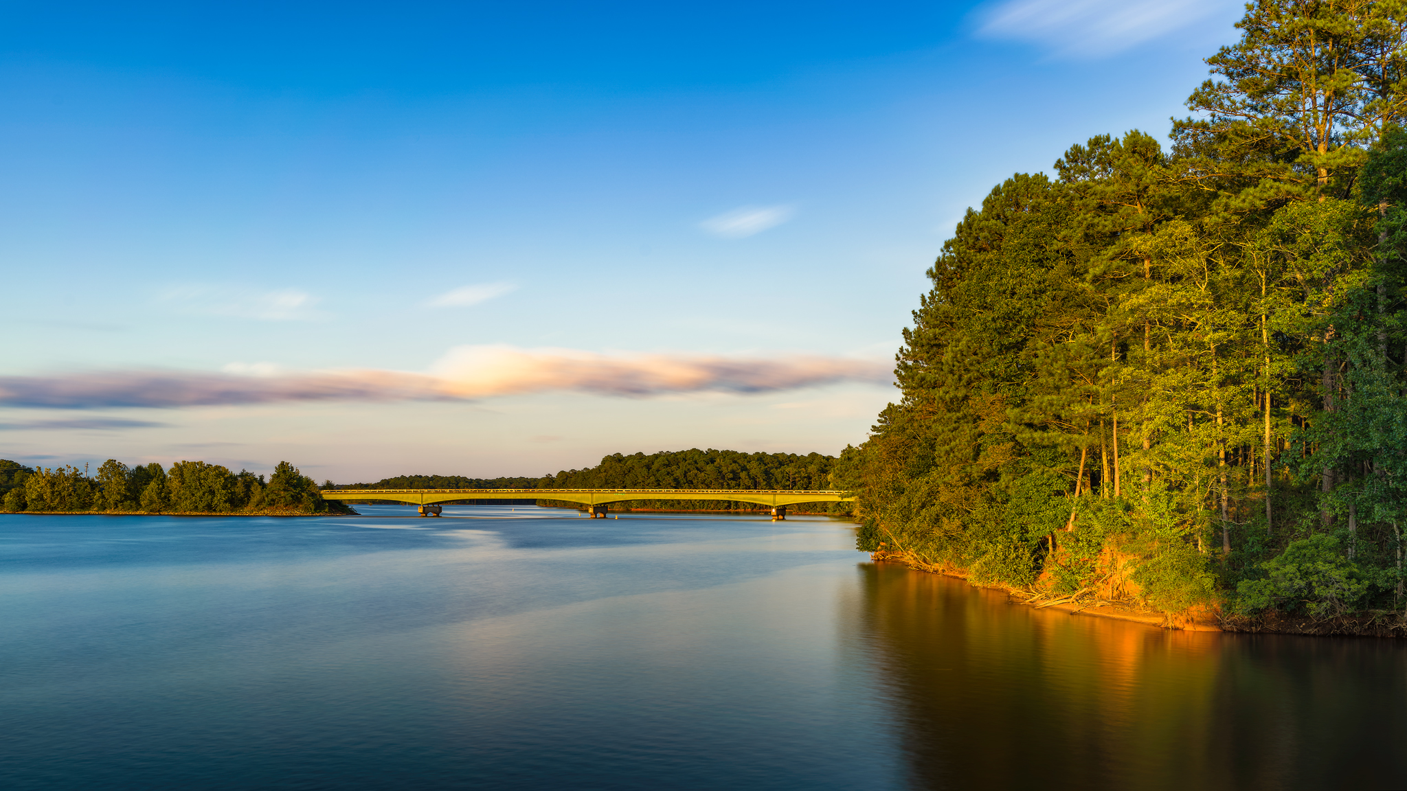
Mooty Bridge
Topographic Map of Bevis Road, Bevis Rd, Franklin, GA, USA
Find elevation by address:
Places near Bevis Road, Bevis Rd, Franklin, GA, USA:
Riverview St, Franklin, GA, USA
Franklin
59 Old Field Rd
GA-, Franklin, GA, USA
2797 S River Rd
GA-34, Franklin, GA, USA
Heard County
811 Judy Rd
GA-34, Franklin, GA, USA
Centralhatchee
Centralhatchee Pkwy, Centralhatchee, GA, USA
17 Chattahoochee Dr, Hogansville, GA, USA
75 N Cove Dr, Hogansville, GA, USA
GA-, Hogansville, GA, USA
4627 New Franklin Rd
GA-34, Franklin, GA, USA
Roosterville Rd, Franklin, GA, USA
Glenn Rd, Franklin, GA, USA
Elm Road
129 Montrose Way
Recent Searches:
- Elevation map of Central Hungary, Hungary
- Elevation map of Pest, Central Hungary, Hungary
- Elevation of Pilisszentkereszt, Pest, Central Hungary, Hungary
- Elevation of Dharamkot Tahsil, Punjab, India
- Elevation of Bhinder Khurd, Dharamkot Tahsil, Punjab, India
- Elevation of 2881, Chabot Drive, San Bruno, San Mateo County, California, 94066, USA
- Elevation of 10370, West 107th Circle, Westminster, Jefferson County, Colorado, 80021, USA
- Elevation of 611, Roman Road, Old Ford, Bow, London, England, E3 2RW, United Kingdom
- Elevation of 116, Beartown Road, Underhill, Chittenden County, Vermont, 05489, USA
- Elevation of Window Rock, Colfax County, New Mexico, 87714, USA
- Elevation of 4807, Rosecroft Street, Kempsville Gardens, Virginia Beach, Virginia, 23464, USA
- Elevation map of Matawinie, Quebec, Canada
- Elevation of Sainte-Émélie-de-l'Énergie, Matawinie, Quebec, Canada
- Elevation of Rue du Pont, Sainte-Émélie-de-l'Énergie, Matawinie, Quebec, J0K2K0, Canada
- Elevation of 8, Rue de Bécancour, Blainville, Thérèse-De Blainville, Quebec, J7B1N2, Canada
- Elevation of Wilmot Court North, 163, University Avenue West, Northdale, Waterloo, Region of Waterloo, Ontario, N2L6B6, Canada
- Elevation map of Panamá Province, Panama
- Elevation of Balboa, Panamá Province, Panama
- Elevation of San Miguel, Balboa, Panamá Province, Panama
- Elevation of Isla Gibraleón, San Miguel, Balboa, Panamá Province, Panama