Elevation of Bethulie, South Africa
Location: South Africa > Free State > Xhariep >
Longitude: 25.9822747
Latitude: -30.511242
Elevation: -10000m / -32808feet
Barometric Pressure: 295KPa
Elevation Map:
Satellite Map:
Related Photos:

Bethulie

#Bethulie dam wall
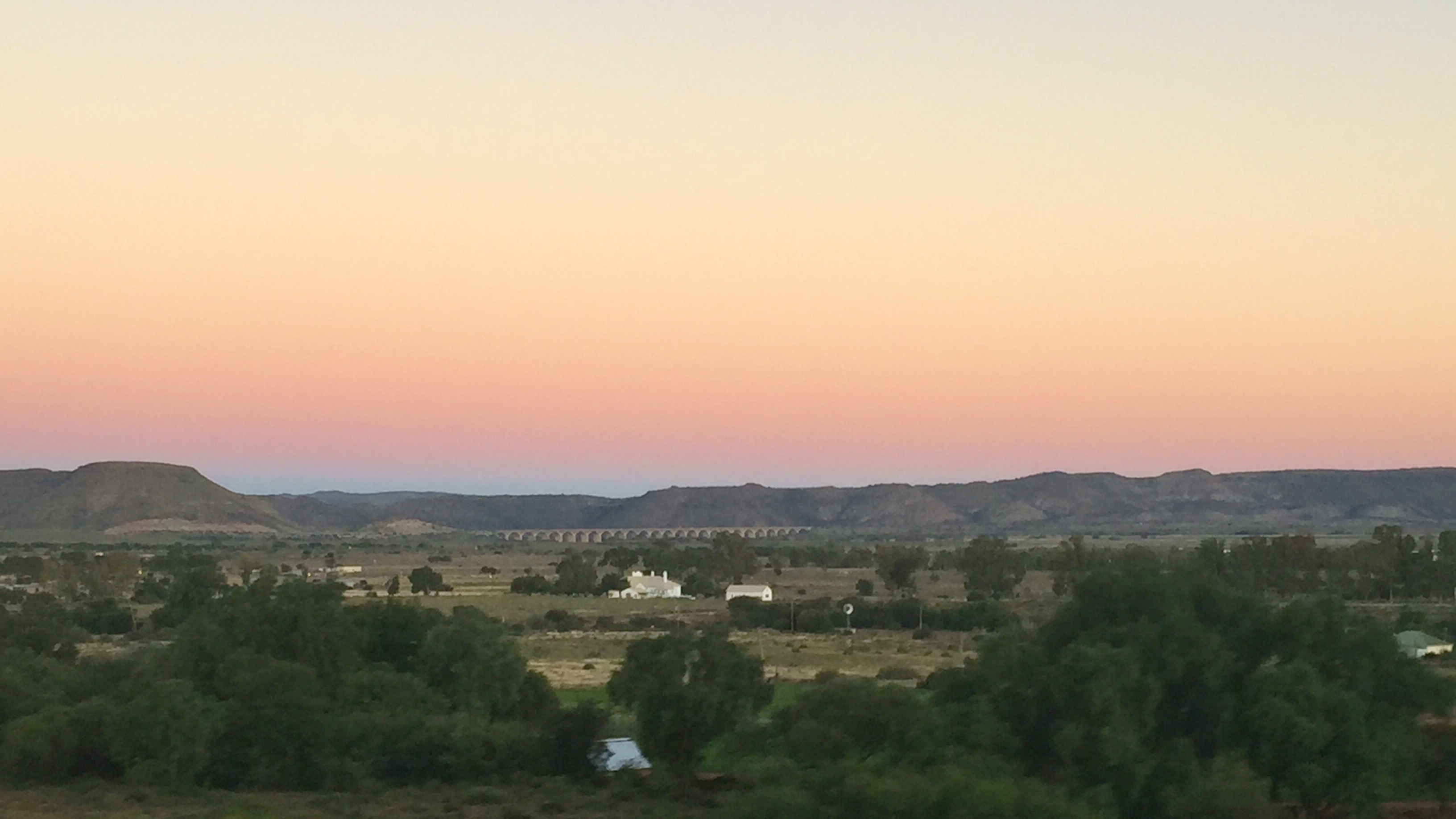
Sunset aboard the train to Johannesburg

Jaco Wessels Photography

Gedenkmuur.Bethulie Konsentrasiekamp Kerkhof - Panorama

Bethulie Konsentrasiekamp Kerkhof - Panorama

Tussen die Riviere - Panorama
Topographic Map of Bethulie, South Africa
Find elevation by address:

Places near Bethulie, South Africa:
Recent Searches:
- Elevation of Corso Fratelli Cairoli, 35, Macerata MC, Italy
- Elevation of Tallevast Rd, Sarasota, FL, USA
- Elevation of 4th St E, Sonoma, CA, USA
- Elevation of Black Hollow Rd, Pennsdale, PA, USA
- Elevation of Oakland Ave, Williamsport, PA, USA
- Elevation of Pedrógão Grande, Portugal
- Elevation of Klee Dr, Martinsburg, WV, USA
- Elevation of Via Roma, Pieranica CR, Italy
- Elevation of Tavkvetili Mountain, Georgia
- Elevation of Hartfords Bluff Cir, Mt Pleasant, SC, USA