Elevation of Bethel, ME, USA
Location: United States > Maine > Oxford County >
Longitude: -70.789880
Latitude: 44.4044586
Elevation: 223m / 732feet
Barometric Pressure: 99KPa
Elevation Map:
Satellite Map:
Related Photos:

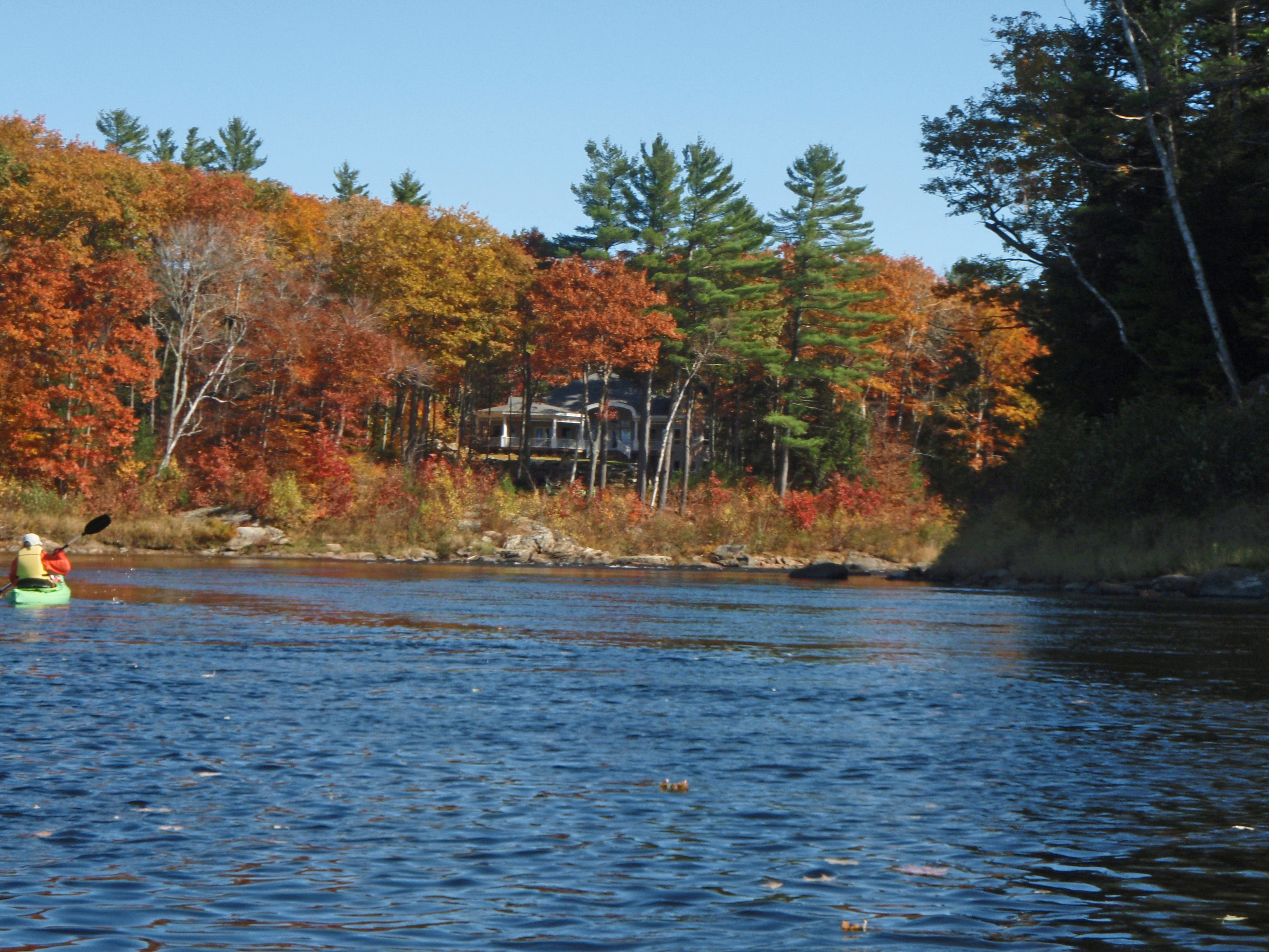
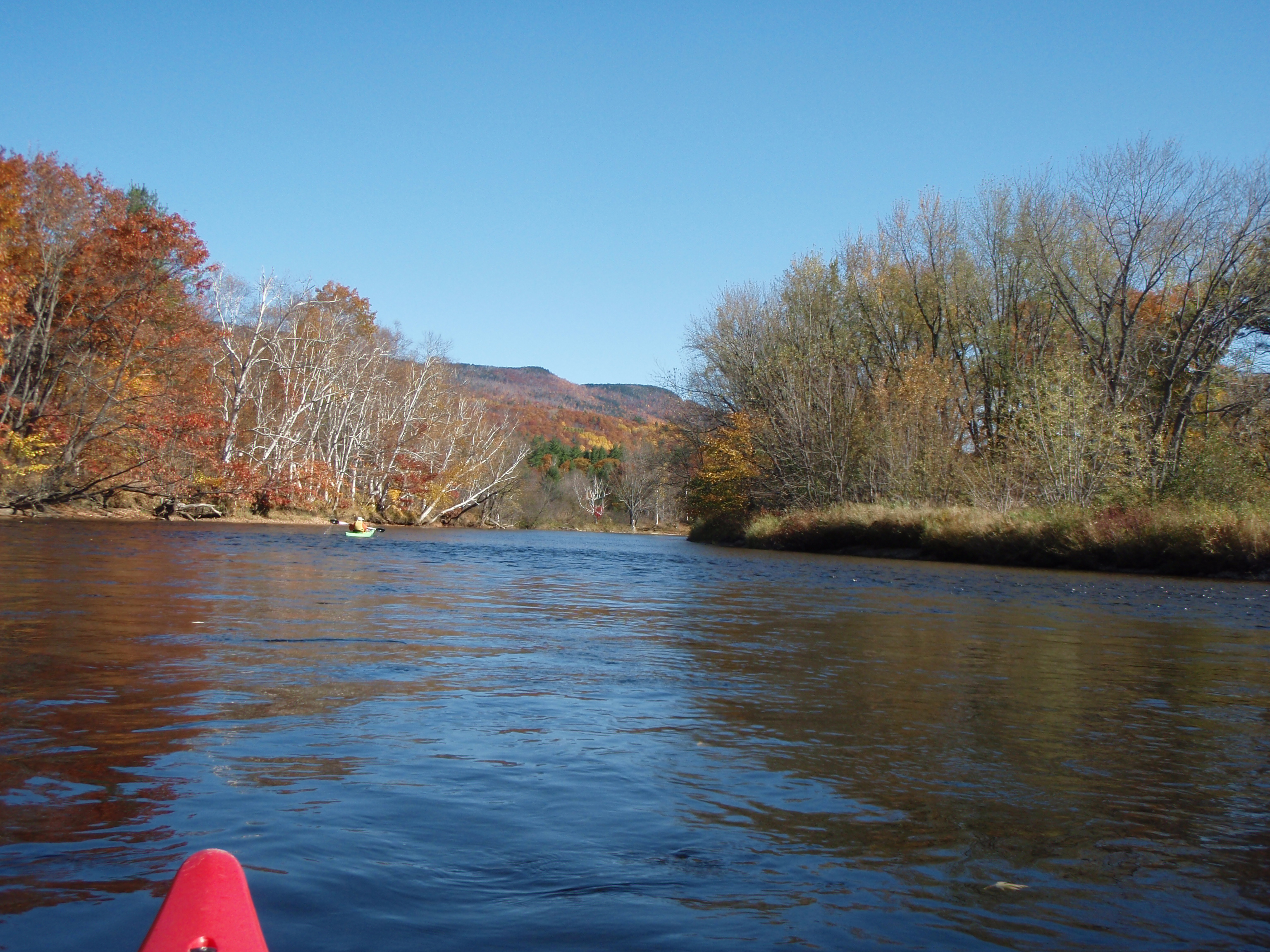
Bethel View

Our view
Frenchmans Hole 2

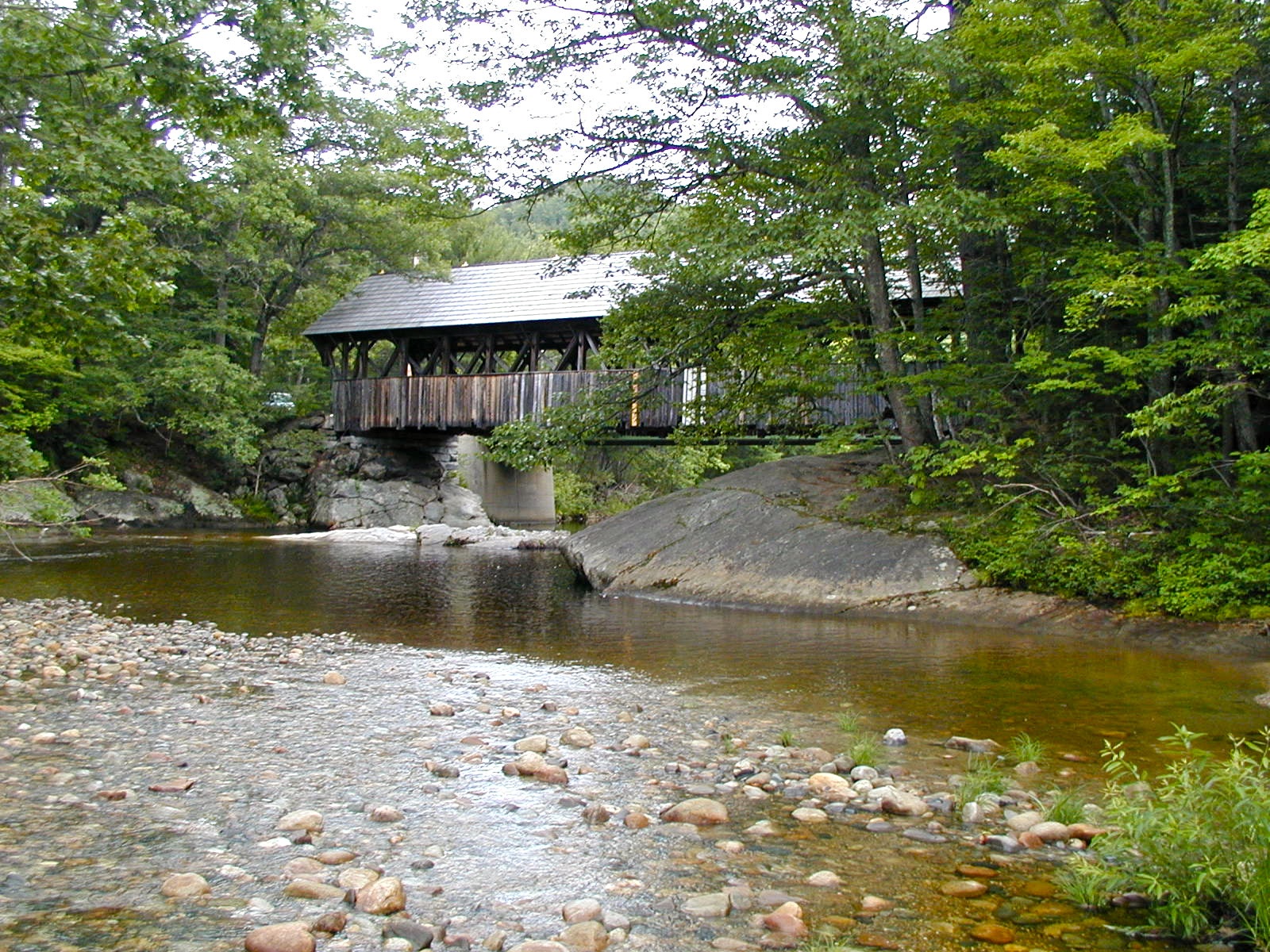
View from Sunday River/Artist's Bridge

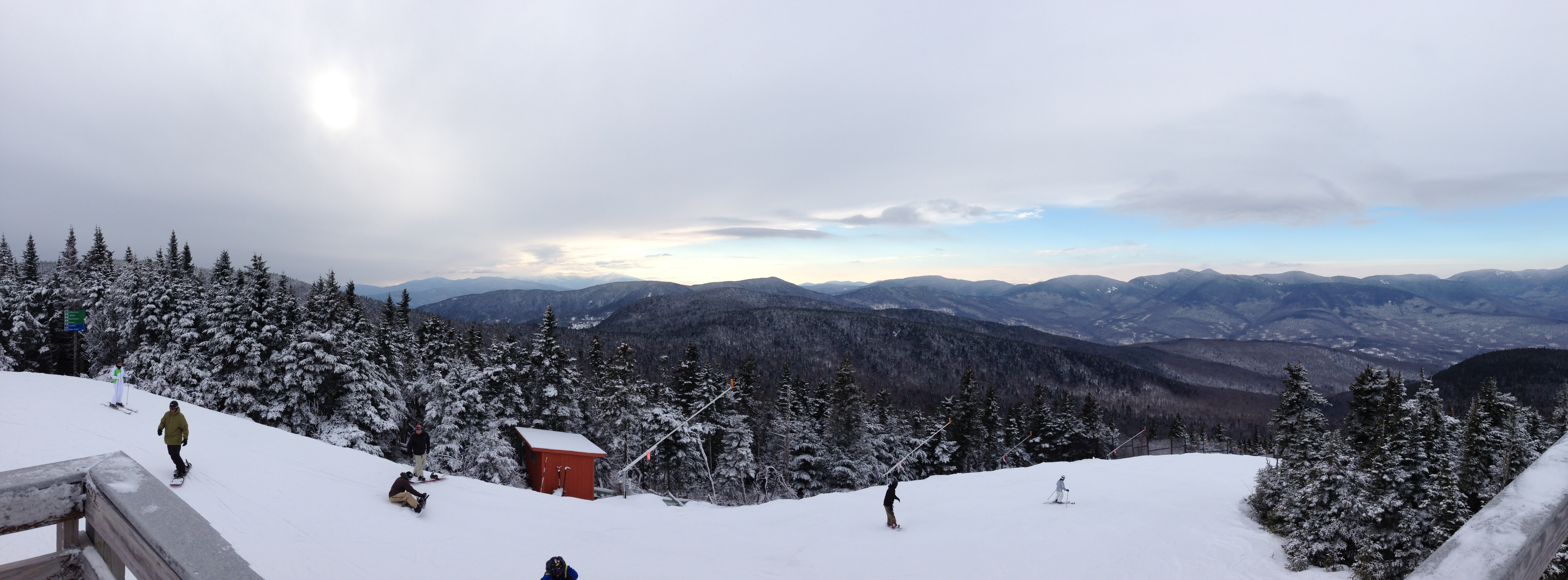
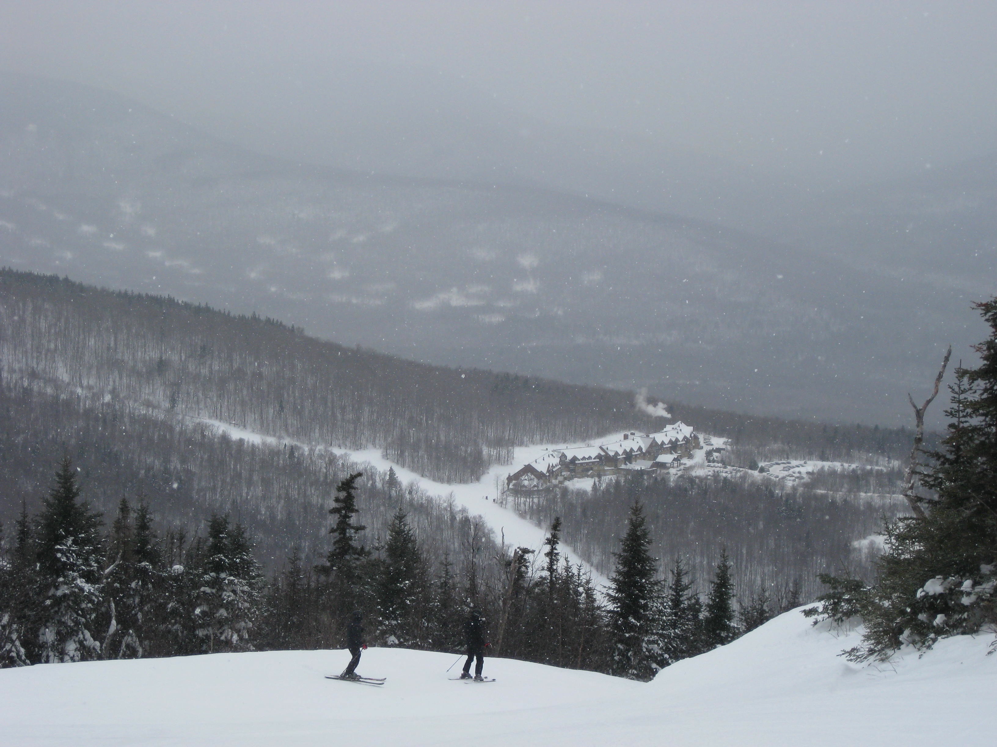
Mt. Abram Pano
View of Mt. Washington from Sunday River

Me and my Trainer (1975)

gould edit final. (w/ before & after)
Bethel Village - 1
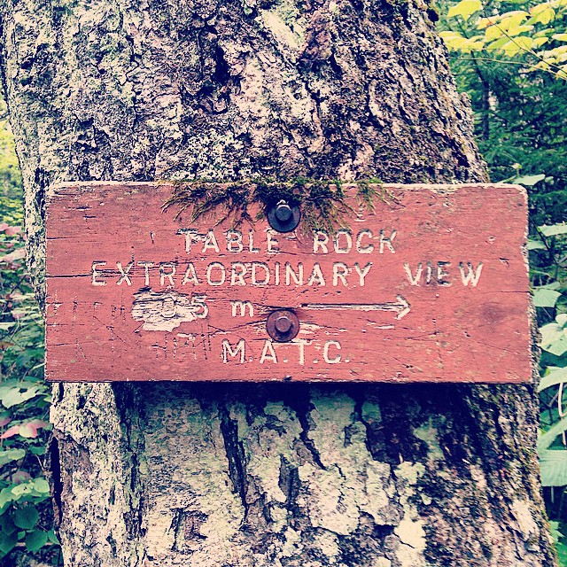
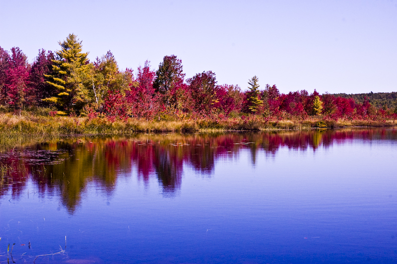
Extraordinary View ➡️
Inside view of the Artist's Bridge

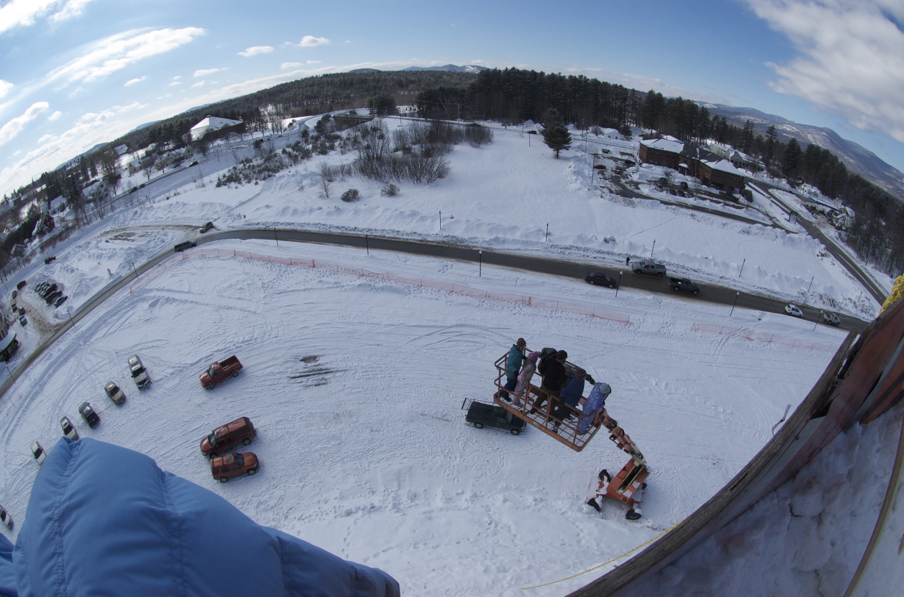
View from the crane basket
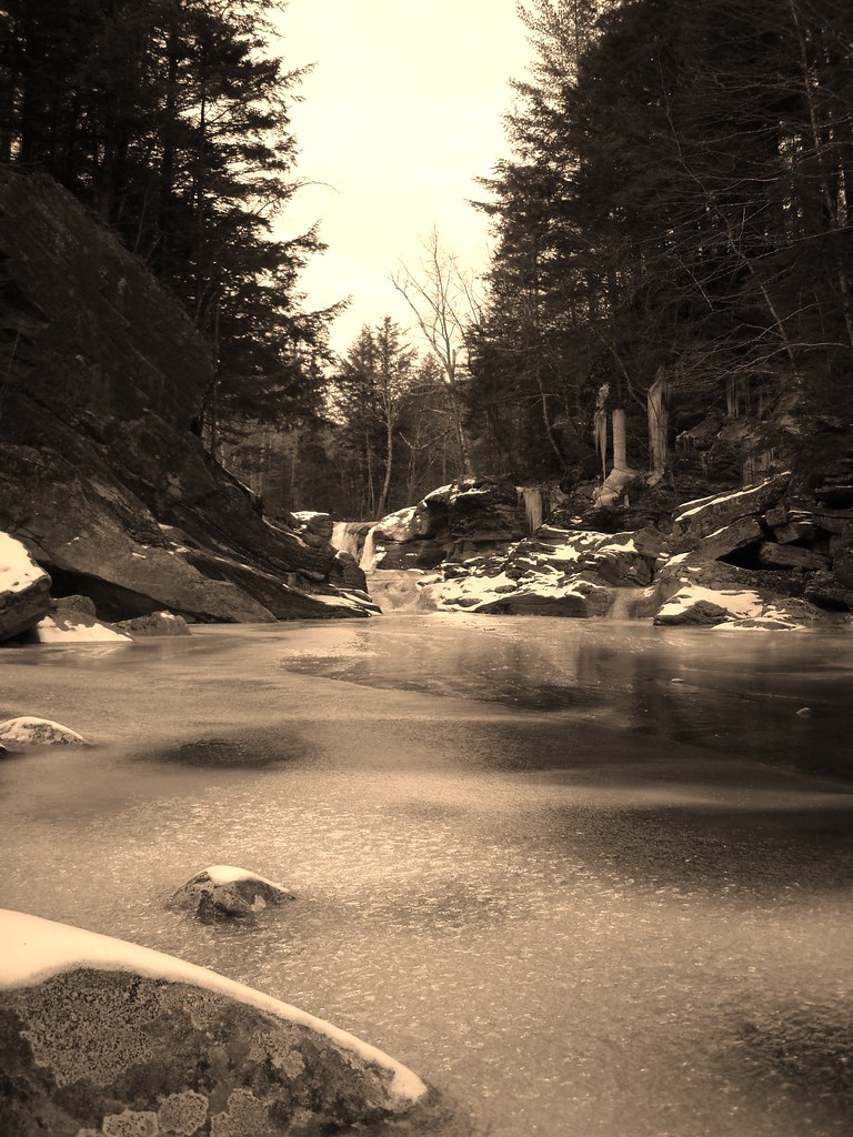
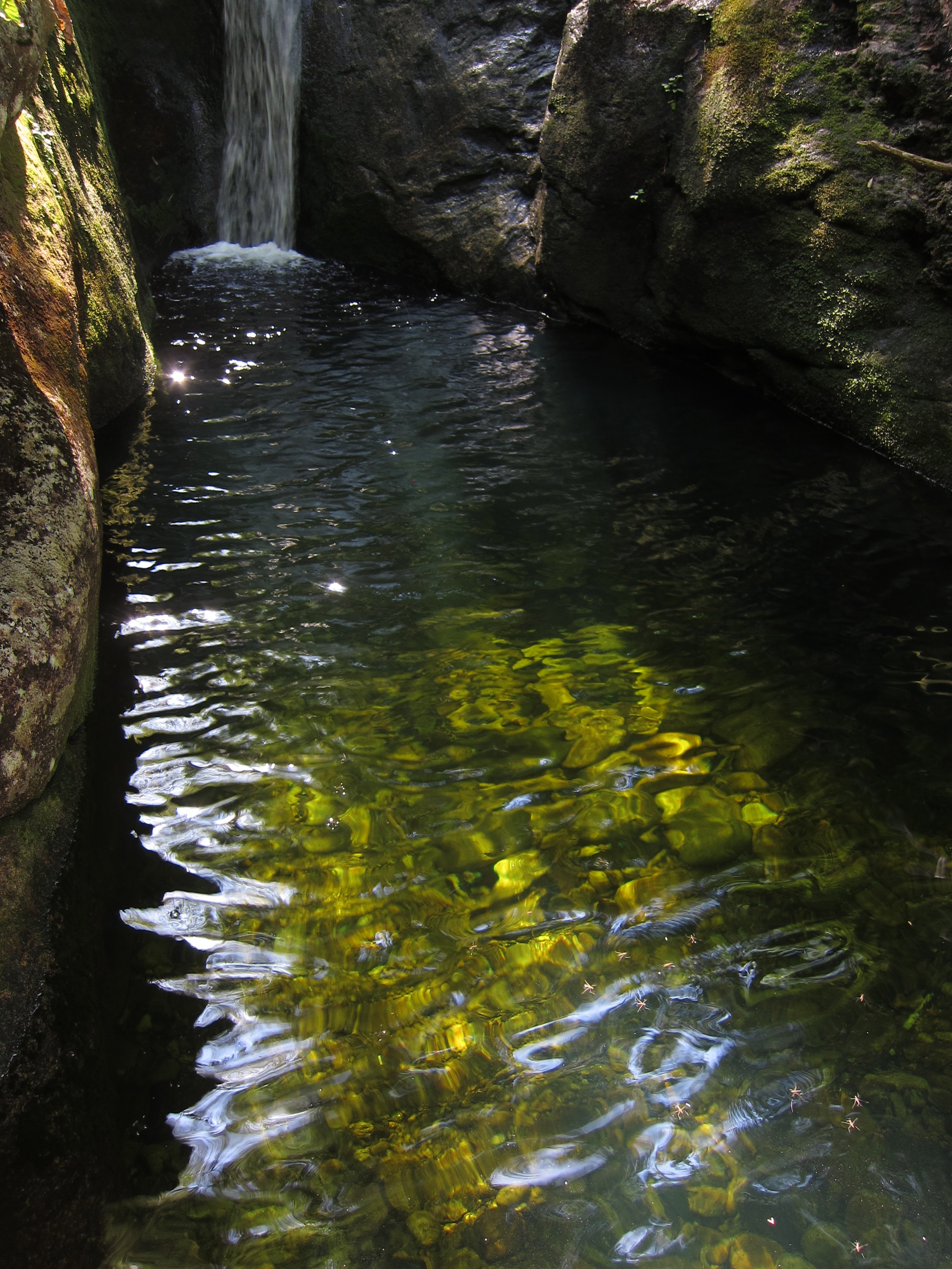
Stream eye view
Parking lot view

House and view
The Deck

House and view
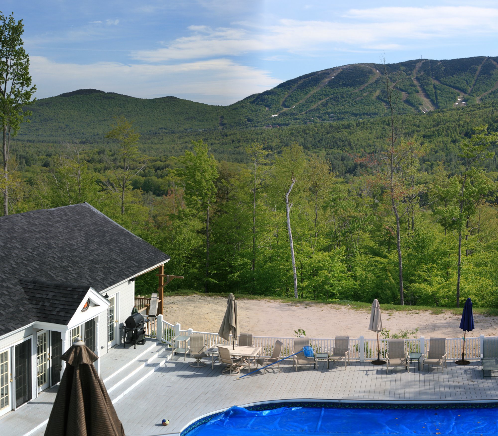
The view

The gorgeous view

House and view
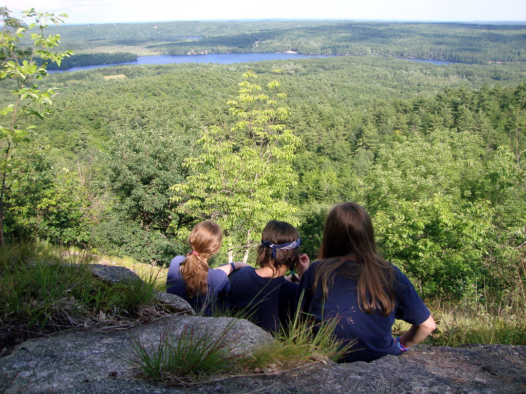
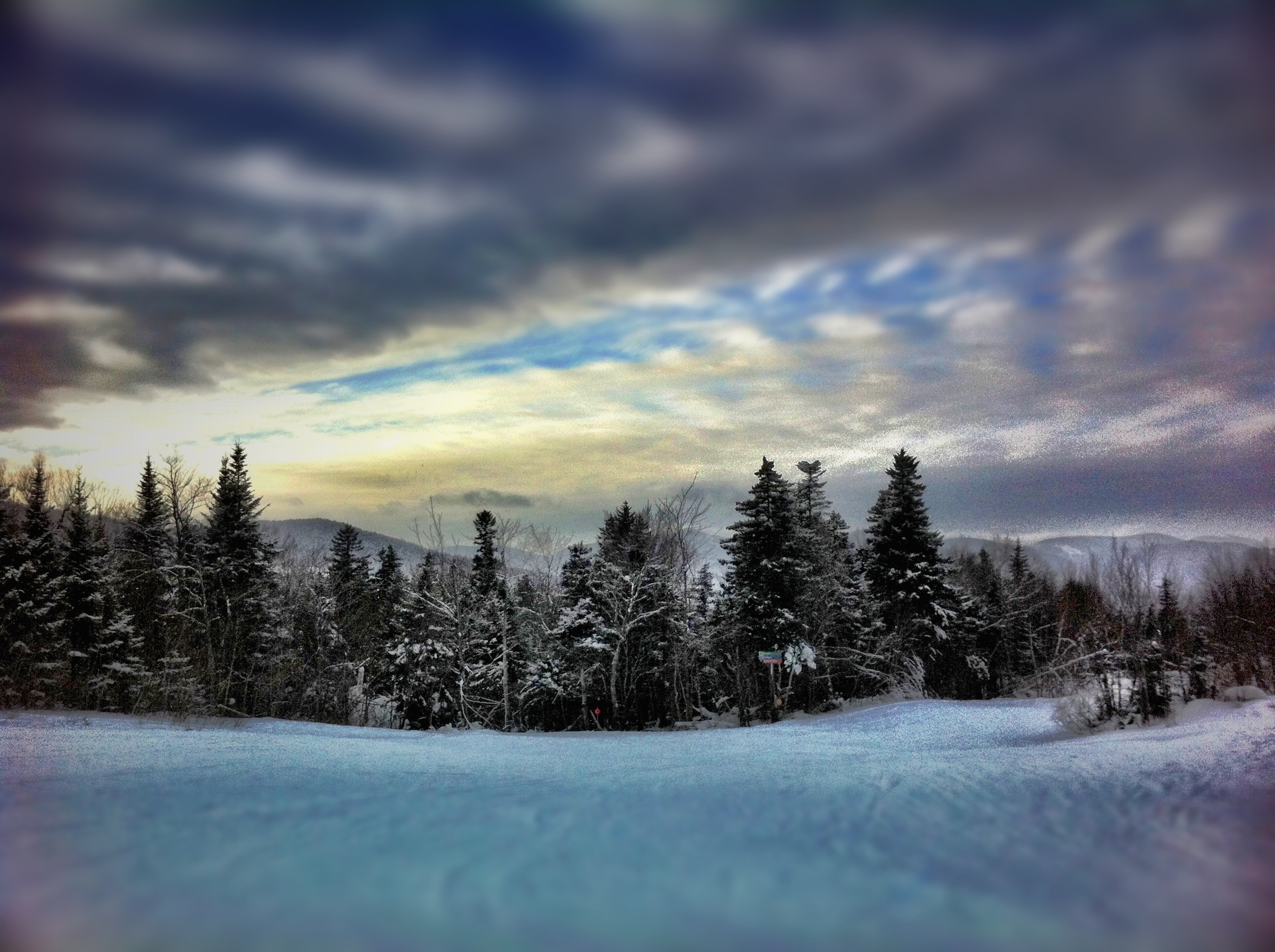
Top of the World

Sunflower Field-6953

Looking up at Fall

Sunflower Field-6957
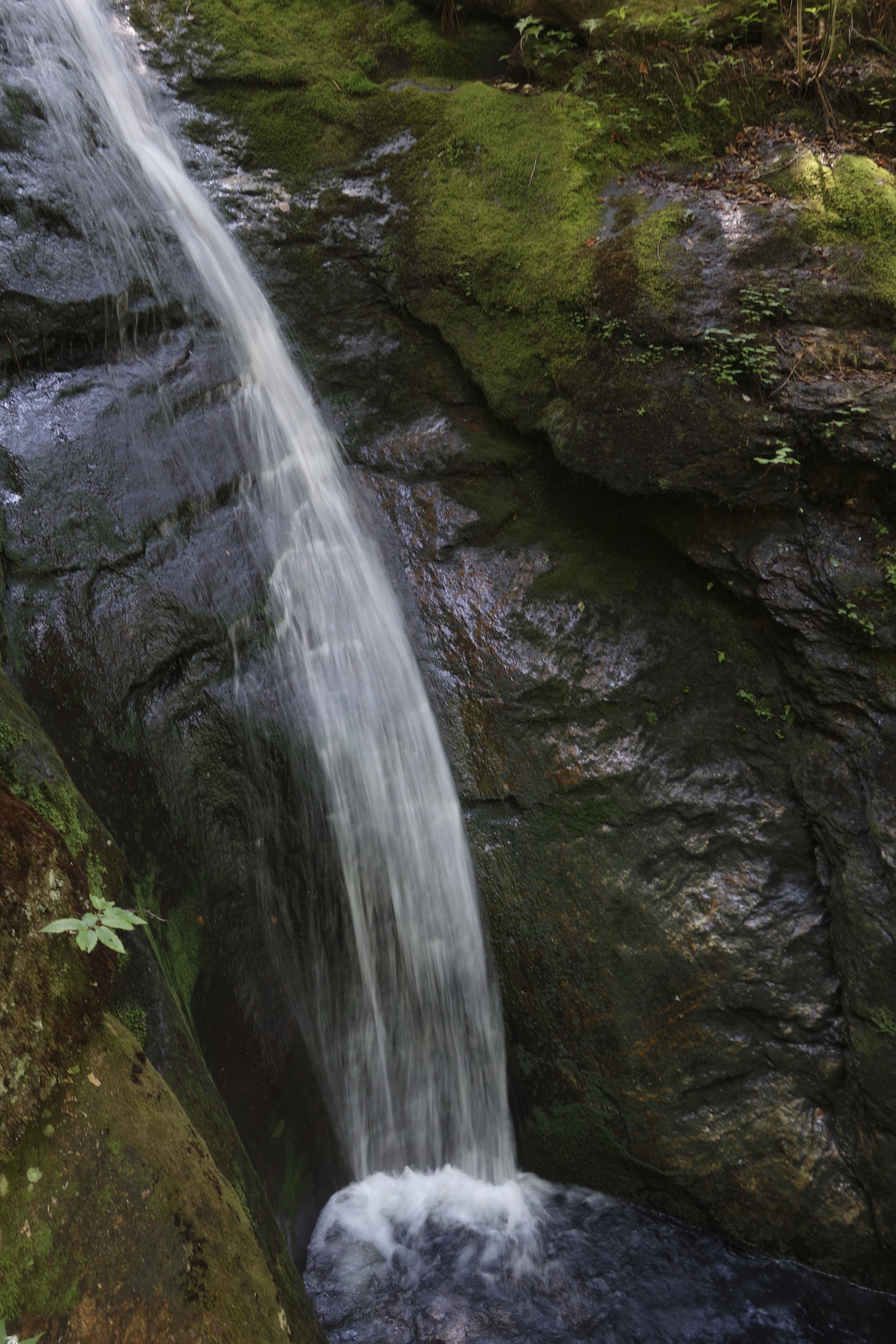
Kees Falls
Kees Falls

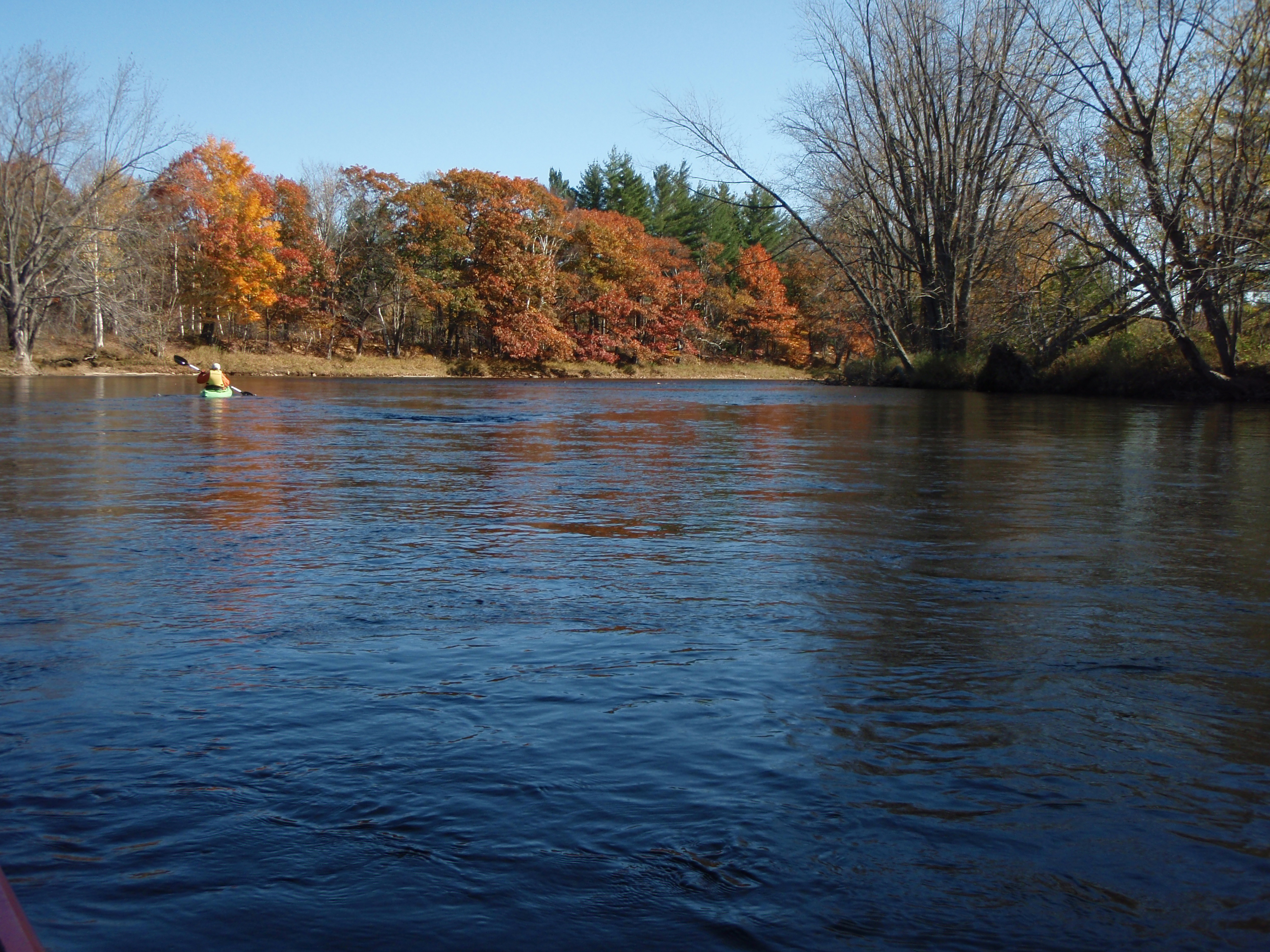
Trail Along Sunday River
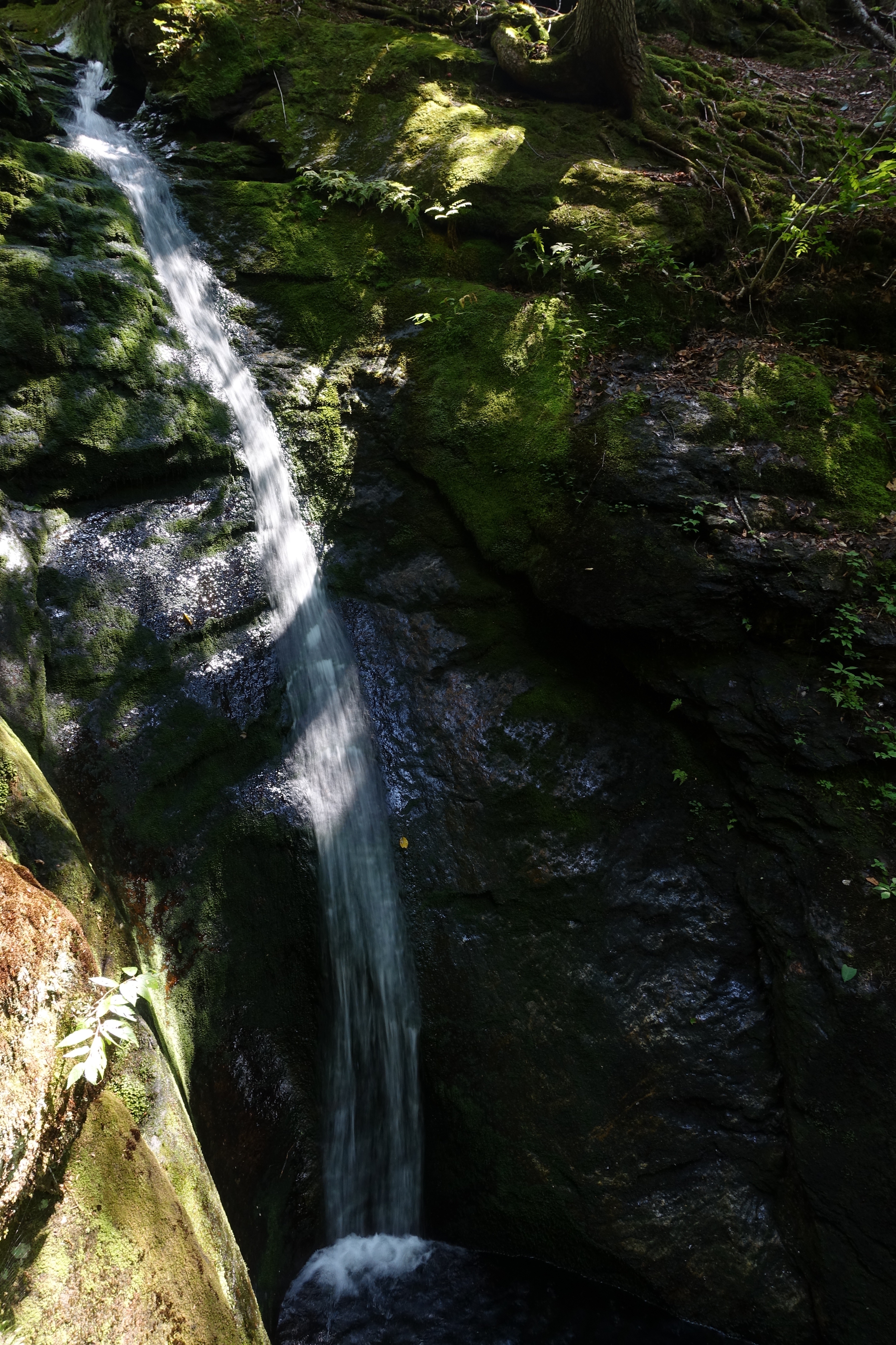
Kees Falls

PA180044.JPG
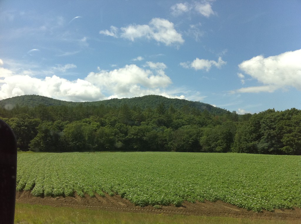
photo.JPG
PA180037.JPG
2012-01-21 22:42:34 +0000
PA180055_edited-1.jpg
071004-13.23.29
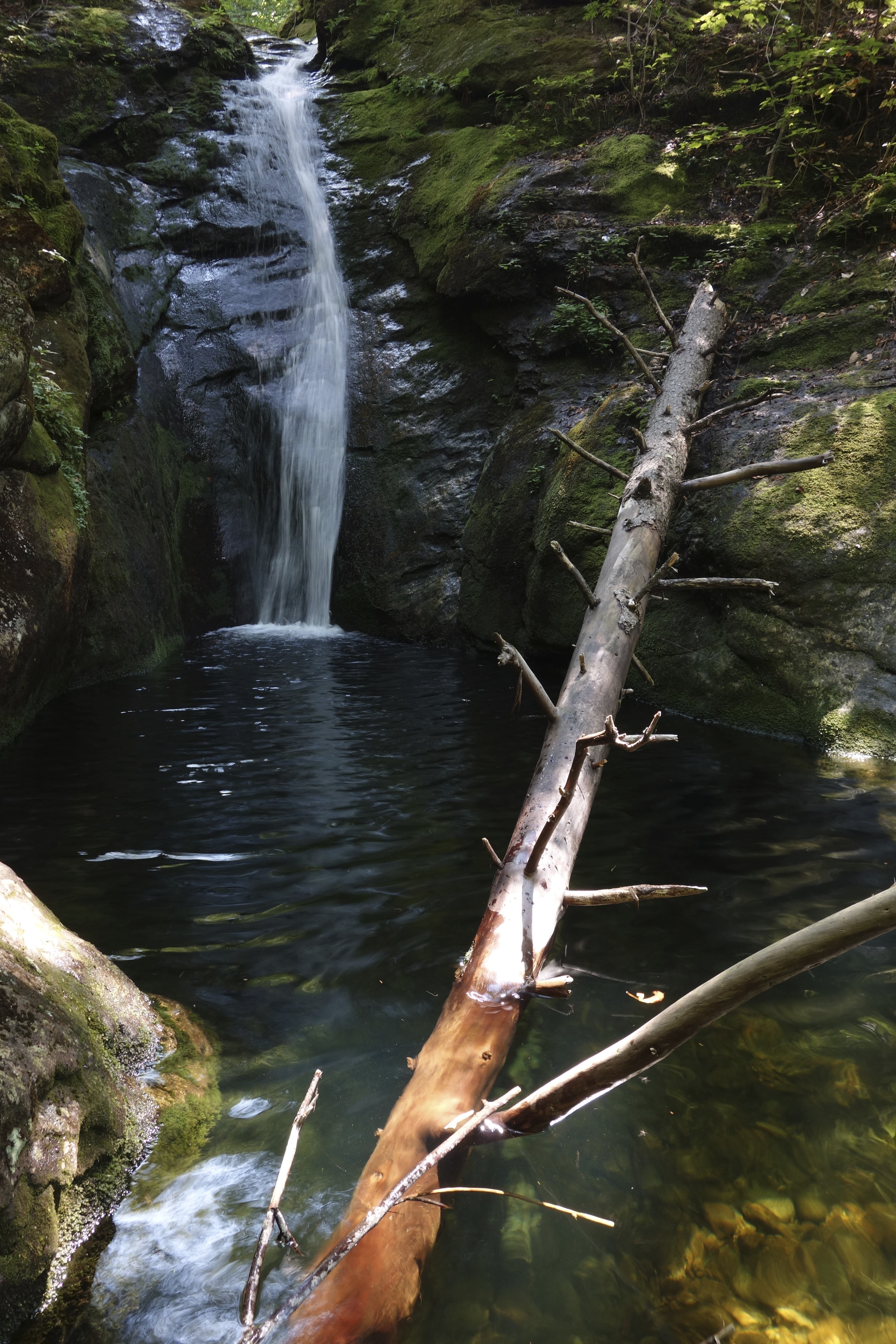
Kees Falls

PA180038_edited-2.jpg
Northern Lights

Kees Falls
PA180035.JPG
Fall colours
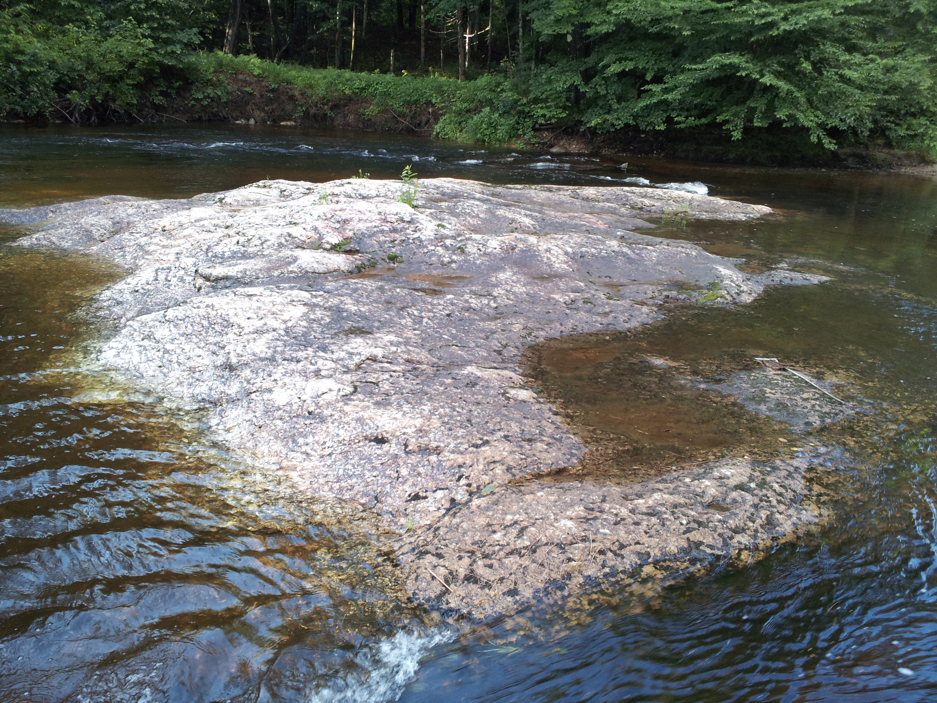
Trail stream
2013-06-29 18.07.31
Topographic Map of Bethel, ME, USA
Find elevation by address:

Places in Bethel, ME, USA:
Places near Bethel, ME, USA:
786 Intervale Rd
Bethel, ME, USA
2 Swan Hill Rd
Newry
Oxford County
184 Bird Hill Rd
46 English Woods Rd
Bryant Pond
Stoneham
Camp Susan Curtis
23 Valley Rd, Waterford, ME, USA
Gilead
US-2, Gilead, ME, USA
110 Cushman Pond Rd
Main St, Stoneham, ME, USA
Coffin Brook Road
Valley Road
Woodstock
850 S Main St
Rumford
Recent Searches:
- Elevation of Corso Fratelli Cairoli, 35, Macerata MC, Italy
- Elevation of Tallevast Rd, Sarasota, FL, USA
- Elevation of 4th St E, Sonoma, CA, USA
- Elevation of Black Hollow Rd, Pennsdale, PA, USA
- Elevation of Oakland Ave, Williamsport, PA, USA
- Elevation of Pedrógão Grande, Portugal
- Elevation of Klee Dr, Martinsburg, WV, USA
- Elevation of Via Roma, Pieranica CR, Italy
- Elevation of Tavkvetili Mountain, Georgia
- Elevation of Hartfords Bluff Cir, Mt Pleasant, SC, USA