Elevation of Berrys Mill Rd, Bath, ME, USA

Location: United States > Maine > Sagadahoc County >

Longitude: -69.846098

Latitude: 43.889528

Elevation: 35m / 115feet

Barometric Pressure: 101KPa

Elevation Map:

elevation map of Berrys Mill Rd, Bath, ME, USA
Satellite Map:

Satellite map of Berrys Mill Rd, Bath, ME, USA

Related Photos:

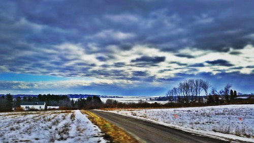
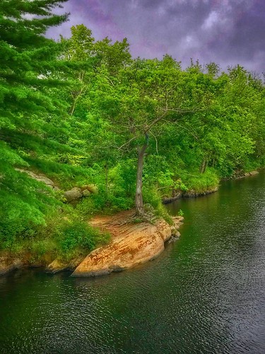
moody scenic nature framed trees brunswickmaine androscogginriver maine
Take a peek...
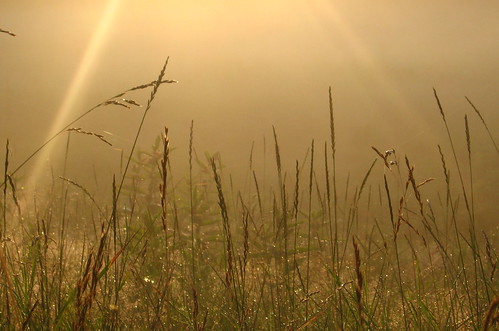
trees light sky plants green grass fog sunrise gold maine brunswick lensflare hay
Misty Field 2
instagramapp square squareformat iphoneography uploaded:by=instagram lofi
More beautiful views of Five Islands area of Georgetown.
flower college canon eos rebel nikon iron 7d minimalism bowdoin ransom xsi williamscollege lockwood tailer tailerransom
Iron Flower
bridge moody androscogginriver frankjwoodbridge brunswickmaine topsham maine
Crossing over....
square squareformat lark iphoneography instagramapp uploaded:by=instagram
View towards Cristina Bridge from Harpswell.
road street city travel bridge blue sea vacation sky urban usa fall tourism water sport skyline architecture buildings river landscape flow harbor fishing fisherman construction downtown cityscape crossing fishermen view traffic harbour outdoor steel flag famous maine scenic places landmark scene icon brunswick structure company brewery cbd iconic seadog angling topsham
"Last Light" - Topsham, Maine, USA
boothbay coastalmainebotanicalgarden lights maine night gardensaglow auroraborealis
Butterfly House
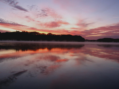
sky mist reflection water clouds sunrise river maine brunswick androscoggin topsham
River 8_28_09
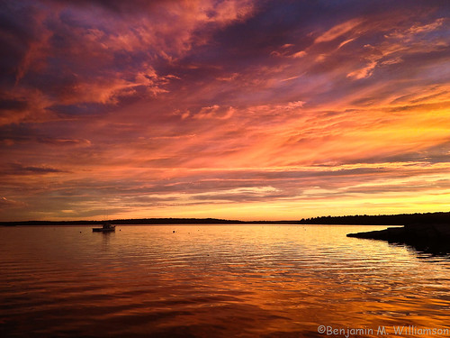
ocean camera sunset sky me nature water colors clouds landscape boat photo scenery phone view maine scenic newengland dramatic lobster iphone harpswell lookoutpoint
The Sweetest Thing
light plants green grass fog sunrise gold maine spiderweb brunswick lensflare hay
Misty Field 1
insect maine me moth sagadahoccounty taxonomy:binomial=ctenuchavirginica taxonomy:common=virginiactenuchamoth usa
Virginia Ctenucha Moth, Maine
kennebecriver silhouettes sunset wiscassetmaine maine
Harmony....
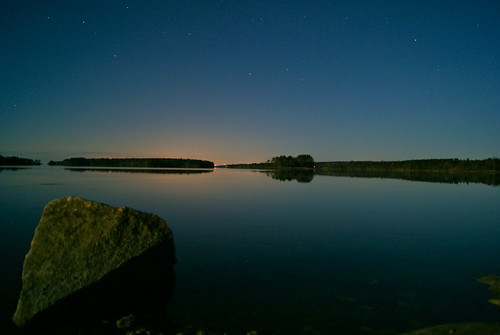
longexposure trees sky water rock stars island maine brunswick middlebay simpsonspoint 100pictures supermoon sonya230 13dark
Super Moonshine: #13
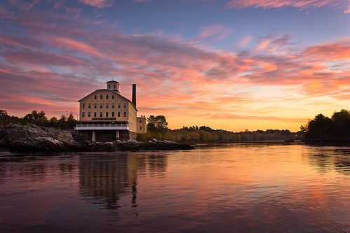
morning sky mill me water colors sunrise reflections river landscape photography dawn restaurant photo scenery view image maine scenic newengland landmark brunswick historic gifts photograph prints attraction seadog androscoggin topsham androscogginriver bowdoinmill seadogbrewingcompany benjaminwilliamson
Bowdoin Mill Morning
kh0831 maine insect fly diptera
Caught in the Act
panorama fort maine finepix fujifilm popham kennebec fortpopham phippsburg hs20exr chipsfolio
Fort Popham 180-Degree Panorama
harpswell lookoutpoint maine sunset allensseafood ll
Lookout Point
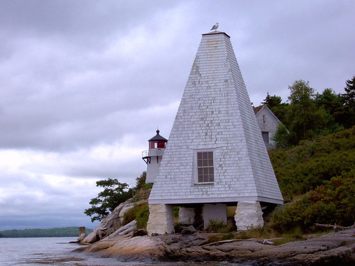
ocean light sea coastguard usa lighthouse water america port river island coast harbor rocks waterfront maine newengland georgetown atlantic american shore granite hafen popham leuchtturm vacationland kennebec uscg kennebecriver uscoastguard baypoint arrowsic pophambeach perkinsisland mainelighthouse fromthewater phippsburg the4elements fromwater perkinsislandlighthouse wbnawneme parkerhead parkershead davensuze
Perkins Island Lighthouse in the Kennebec River, off Georgetown, Maine (2)
maine wideangle fortpopham phippsburg eos600d canoneos600d rebelt3i canonrebelt3i chipsfolio
Fort Popham Phippsburg Maine: Arches
boothbay coastalmainebotanicalgarden lights maine holiday christmas night
Gardens Aglow
america architecture bird birds blue buildings buoy clouds green hendricksheadlight lighthouse maine nationalregisterofhistoricplaces newengland northamerica places red rocks sheepscotriver southportisland spring travelandtourism trees usa unitedstates water white yellow southport 125faves
Fickle Mud Season Weather
longexposure sunset red seascape landscape bay coast pier wooden sad seasons fort maine calm atkins popham limbo
Seasonal Limbo
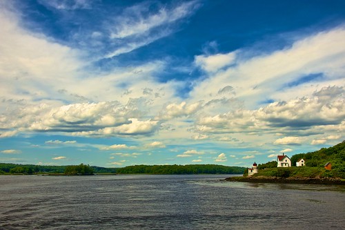
lighthouse maine large kennebecriver arrowsic 0714 afsnikkor28300mmf3556gedvr athreehourcruise
Squirrel Point Light Station
sunrise maine reidstatepark ledges
Rock ledges, Reid State Park
nature trees river swingingbridge brunswickme maine
On the Androscoggin....
usa america unitedstatesofamerica maine newengland northamerica amerika botanicalgarden boothbay waldweg neuengland botanischergarten vereinigtestaaten nordamerika foresttrack coastalmainebotanicalgardens olympusomdem5 olympusm1250mmf3563
Forest track
landscape fort phippsburg maine unitedstates us
Light In the Window II
usa america unitedstatesofamerica maine newengland northamerica amerika botanicalgarden boothbay waldweg neuengland botanischergarten vereinigtestaaten nordamerika foresttrack coastalmainebotanicalgardens
Forest track (2)
harpswell lookoutpoint maine sunset dusk sundown allensseafood
Allen's Seafood
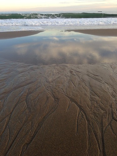
Atlantic reflections
androscoggin maine sunset topsham river sundown dusk ice snow winterisland
Pink Sky
cundysharbor harpswellmainefog
Fog In The Harbor
Hamilton Sanctuary_2194
landscape lighthouse bath maine unitedstates us
Lighthouse in the Rain II
androscoggin maine topsham river island tree winter
Androscoggin Islet
raw
Pre-Dawn Glimmer
Hamilton Sanctuary "Steps"
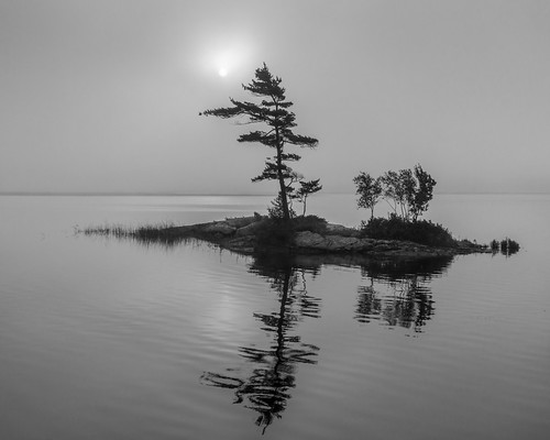
maine topsham fog bw monotone androscoggin river islet
Breaking Through The Fog
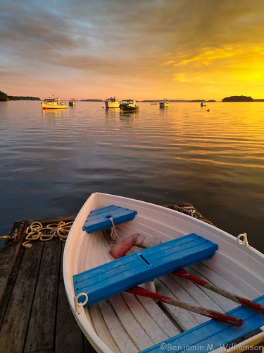
ocean camera light sunset summer sky seascape me clouds landscape boats harbor boat dock scenery phone maine scenic newengland lobster dinghy iphone harpswell lobstering lookoutpoint
Blue Seat Dinghy
photography foto maine documentary henry editorial leiter henryleiterfoto
130802_PER-152